
The complete list
Every town in our catalogue inside a national park
151 towns · 19 regions · the complete list

Scanno, Abruzzo
Italy has twenty-five national parks and people live in most of them. A town inside a park has rules about building and hunting and a wolf or a bear somewhere up the valley, and it usually has a visitor centre that will tell you where the path starts.
This is every town in our catalogue whose commune lies inside a national park, 151 of them across 19 regions, best-recognised first.
Scanno
Province: L'Aquila · 1,057 m
A 1,057-meter Sagittario valley village where women in black still walk the alleys photographed by Cartier-Bresson and Giacomelli.
Caramanico Terme
Province: Pescara · 650 m
A 650-meter Majella spa village at the confluence of the Orfento and Orta rivers.
Pescocostanzo
Province: L'Aquila · 1,395 m
A planned Renaissance town at 1,395 meters on the Quarto Grande plateau, with bobbin lace, wrought iron, and the wood ceilings of a five-nave church.
Fara San Martino
Province: Chieti · 440 m
A pasta-making town at 440 meters, where the Verde river runs out of a two-meter slot in the Majella wall.
Guardiagrele
Province: Chieti · 576 m
The 576-meter terrazza d'Abruzzo on the Majella's foothills, hometown of fifteenth-century goldsmith Nicola da Guardiagrele and seat of the Majella park.
Pretoro
Province: Chieti · 530 m
A village of 856 stacked at 530 meters on the eastern Maiella, where wolves live behind fencing and woodturners still work on Via Roma.
Pacentro
Province: L'Aquila · 650 m
A medieval village at 650 meters under the Caldora castle towers, where every September a barefoot race honors a Madonna and a pop singer's grandparents.
Pettorano sul Gizio
Province: L'Aquila · 656 m
At 656 meters above the Gizio river, a Cantelmo fortress town that guarded the gateway to the Peligna valley for four hundred years.
Pietracamela
Province: Teramo · 1,005 m
A village of 218 people clinging at 1,005 meters under the north wall of Corno Piccolo, birthplace of Italian Apennine climbing in 1925.
Civitella del Tronto
Province: Teramo · 589 m
A rocky crest at 589 meters above the Tronto valley, crowned by the last Bourbon fortress to surrender to united Italy in March 1861.
The rest of the 151
Abruzzo22
One page, laid out for paper. Print it or save it as a PDF from your browser’s print menu.
Basilicata9
Calabria16
Campania23
Emilia-Romagna4
Lazio5
Liguria4
Lombardy3
Marche6
Molise8
Piedmont4
Apulia13
Sardinia9
Sicily1
Tuscany8
Trentino-Alto Adige/Südtirol1
Umbria2
Aosta Valley2
Veneto1
One page, laid out for paper. Print it or save it as a PDF from your browser’s print menu.
More from Anywhere Italy
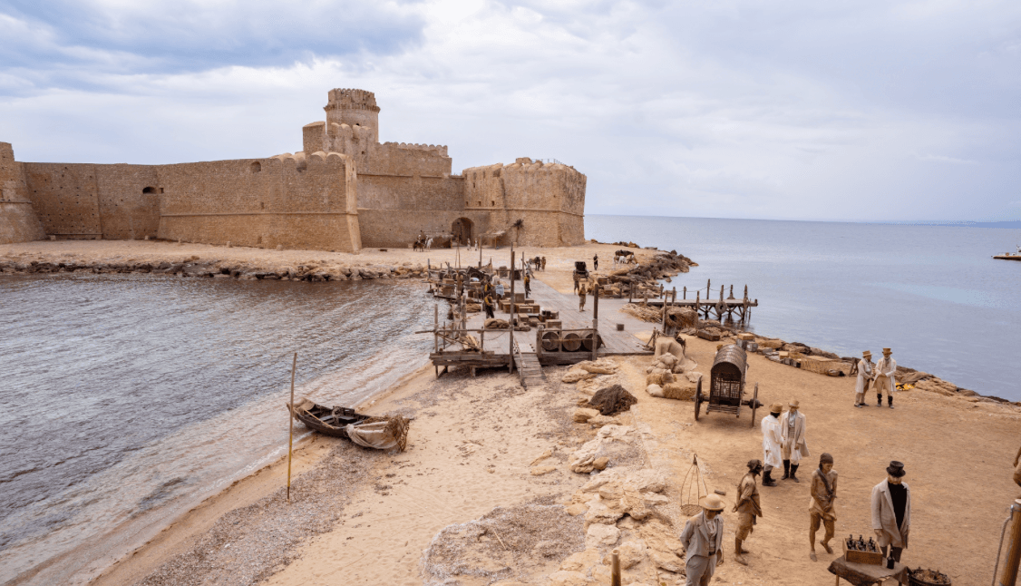 Themed picks · Reggio Calabria · Aspromonte10 Aspromonte hill towns near Reggio Calabria
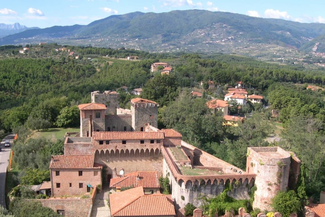 Themed picks · Florence · Wine10 Tuscan wine towns near Florence
 Themed picks · Turin · Mountains10 mountain comuni near Turin
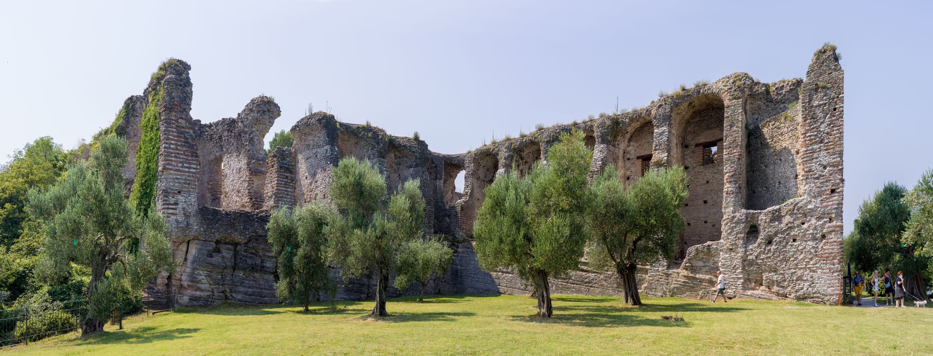 Themed picks · Verona · Lake Garda10 Lake Garda towns near Verona
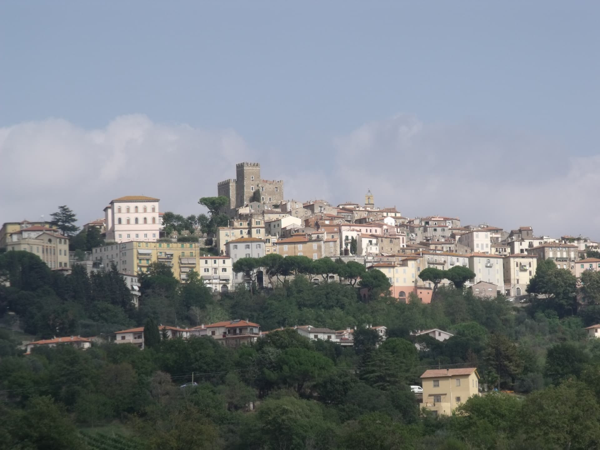 Themed picks · Rome · Olive oil10 olive oil comuni near Rome
 Themed picks · Florence · Food10 hidden food towns near Florence