
Basilicata · Potenza
Terranova di Pollino
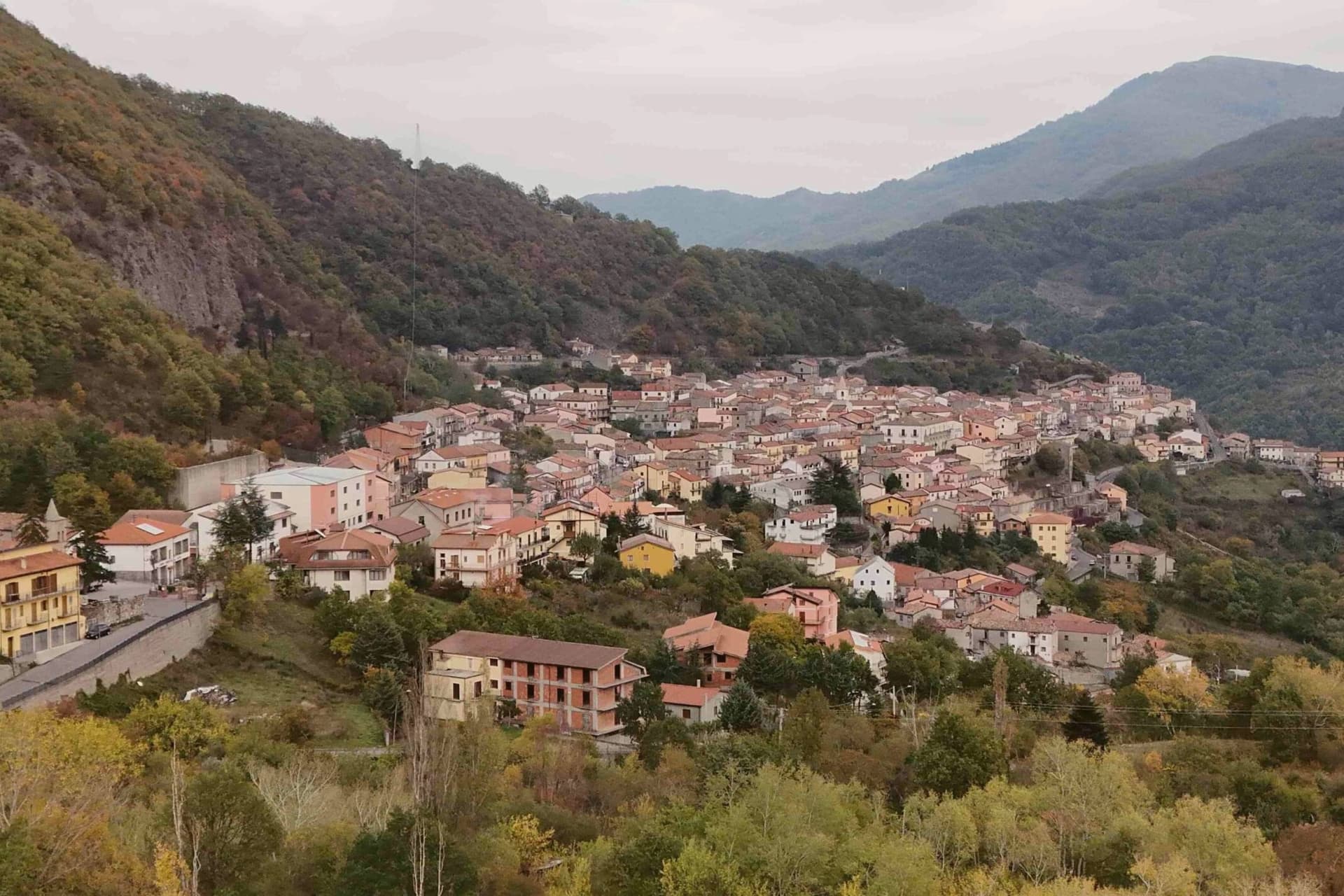
At 926 meters on the Lucanian side of the Pollino, the gateway into Italy's largest national park, home of the Sarmento red potato.
- Best time
- May–Oct
- By car
- 2 h 50 min from Salerno
- Population
- 1,018
Known for
POLLINO GATEWAY
Lucanian-side entrance to Italy's largest national park, trails climbing to the loricato pines of Serra di Crispo at 2,053 meters.
PATATA ROSSA
Red-skinned firm-fleshed potato of the Sarmento valley grown at 800 meters, Slow Food Presidium, the village's flagship product.
LUNA ROSSA
Michelin-listed restaurant of Federico Valicenti, thirty-year anchor of the contemporary Lucanian peasant kitchen tradition.
When to visit
Best · May–Oct
- J8°
- F10°
- M11°
- A14°
- M19°
- J25°
- J29°
- A28°
- S23°
- O19°
- N13°
- D10°
- Best
- Hot or crowded
- Quiet
- Mostly closed
Daytime averages, 2020–2024. Weather data by Open-Meteo.com.
The festa: Francesco da Paola, 2 April
Why come
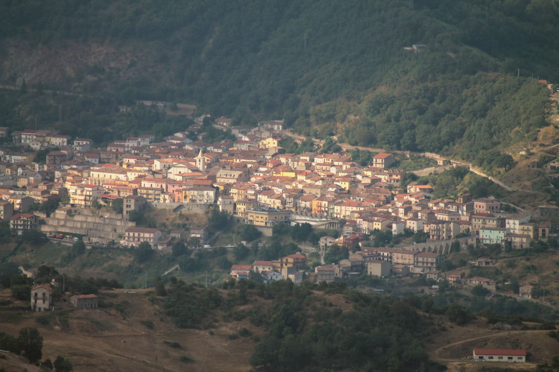
Terranova di Pollino sits at 926 meters on the Lucanian side of the Parco Nazionale del Pollino, Italy's largest national park at 192,000 hectares straddling Basilicata and Calabria. A thousand people live in the stone village above the Sarmento valley, in the territory locals call the gate of the park. The land around the village rises into the Bosco Magnano and the Bosco di Chiaromonte, beech and Bosnian pine forest that holds the symbolic tree of the park, the loricato pine, on the higher ridges above.
Local cuisine is mountain cuisine: hand-rolled pasta, lamb, pecorino, porcini in autumn. The patata rossa di Terranova, a red-skinned firm-fleshed variety grown at 800 meters, has Slow Food Presidium recognition and is the village's flagship product. Luna Rossa, the Michelin-listed restaurant of Federico Valicenti, has anchored the contemporary Lucanian peasant kitchen here for thirty years.
The Sunday letter
Terranova di Pollino is on our list. Its letter is still to come.
We are writing about all 1,000 of these towns, one at a time, in a free letter every Sunday: the photo, the food, the festa. That is our mission. Sign up and you will be there when Terranova di Pollino comes up. By Peter & Sophia, from Pietrasanta.
Read on
Terranova di Pollino in our articles
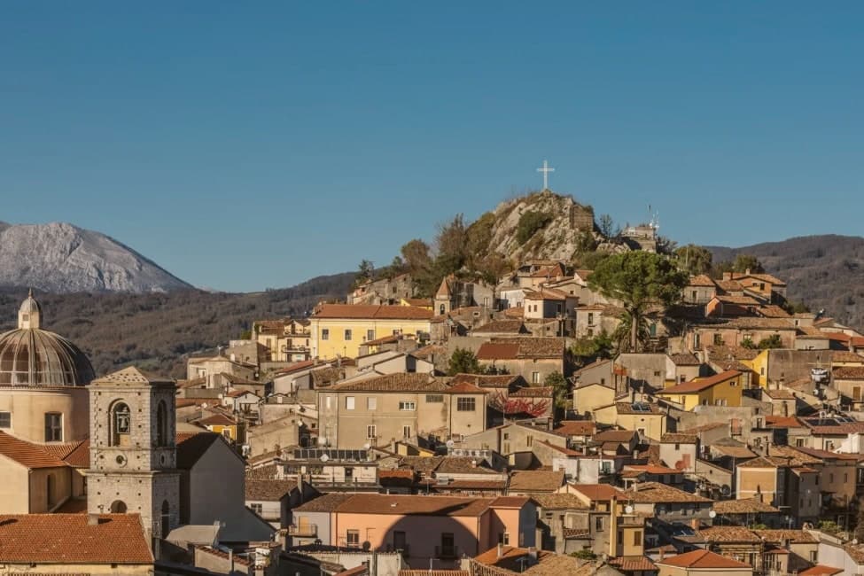
 The best mountain towns that eat well in the province of Potenza6 towns, Terranova di Pollino among them.
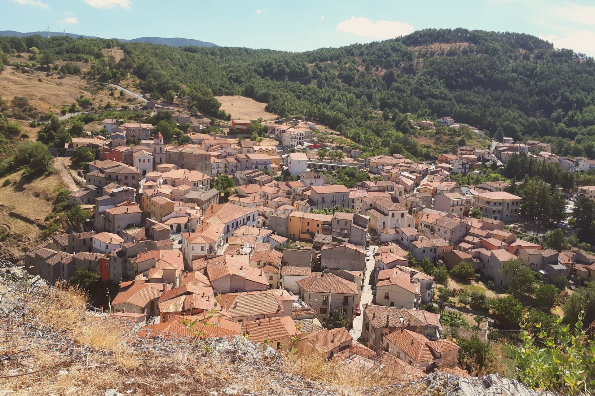
 The best towns with a serious restaurant in Basilicata6 towns, Terranova di Pollino among them.
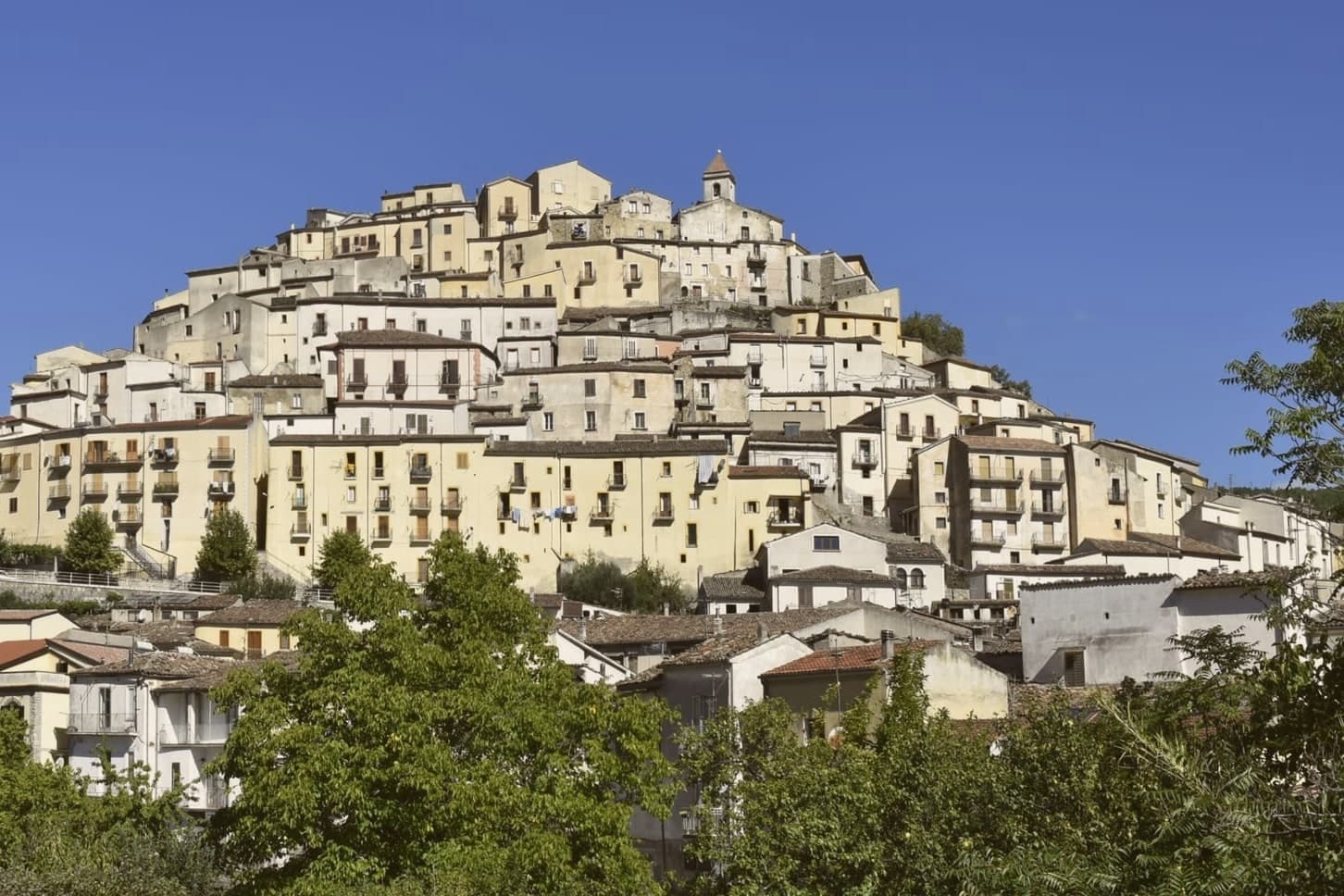
 The best high-altitude villages in the province of Potenza7 towns, Terranova di Pollino among them.
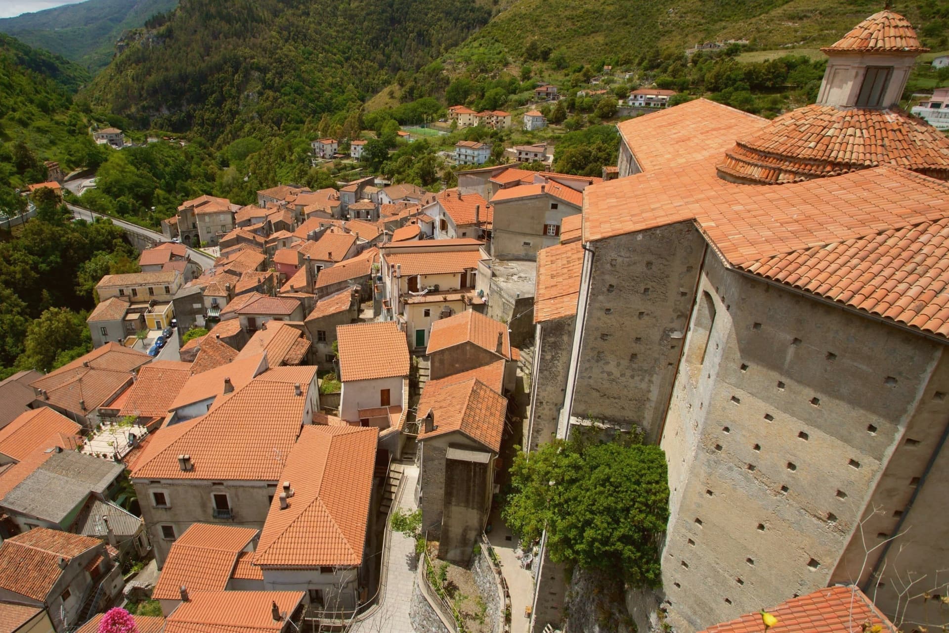
 The 8 best towns inside a national park in the province of Potenza8 towns, Terranova di Pollino among them.
How to get there
From Bari / Brindisi (BRI), about 3 hours by car.
Lamezia / Reggio (SUF) is about 3h 20m away.
By car from the centre of Salerno 2h 50m, Bari 3 hours or Naples 3h 33m.
What to see
Parco Nazionale del Pollino
Italy's largest national park at 192,000 hectares, Terranova is one of the principal Basilicata-side entrance villages with trailheads from the centro.
Serra di Crispo
Ridge above the village at 2,053 meters known as the Garden of the Gods for its stand of loricato pines, the symbol tree of the park.
Centro storico
Stone-built mountain village at 926 meters with narrow ascending lanes, organised around the Chiesa Madre and the small piazze of the upper streets.
Chiesa Madre
Mother church of the village in the centro storico, principal religious building of the Sarmento valley community.
Bosco Magnano
Beech and turkey oak forest east of the village, the most accessible deep-park walk from Terranova with marked routes to the Frido river.
The slow-trip planner
Building a trip? Find where Terranova di Pollino fits in a slow Italy circuit.
Answer five questions. We will shape a geographically coherent slow trip from the 1,000 Italian towns most travelers skip. Yours to save and share.
We recommend
Where to eat
Not our picks, but places the guides put their name to: a Michelin star, a Gambero Rosso fork, a Slow Food snail, a Michelin Key for the hotels. Worth a table, a counter, or a night when you pass through.
Luna RossaTrattoria
Luna Rossa holds a Michelin Bib Gourmand and two Gambero Rosso prawns.
Living here
- Population 1,018
- Very remotei
- Pharmacy: none mapped
- Nearest high school over ~30 minutes away
- Nearest airport Bari / Brindisi, 3 h 6 min drive
- Regional capital Potenza, 2 h 44 min drive
Common questions
- What is Terranova di Pollino known for?
- At 926 meters on the Lucanian side of the Pollino, the gateway into Italy's largest national park, home of the Sarmento red potato.
- Where is Terranova di Pollino?
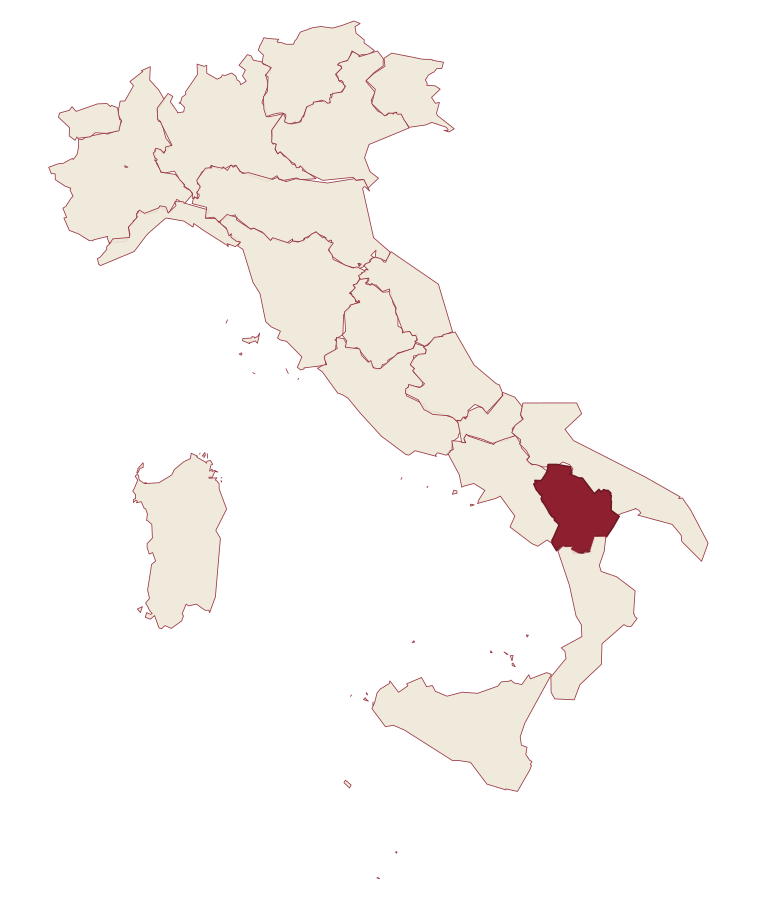
- Terranova di Pollino is a comune in the province of Potenza, in Basilicata.
- What is the nearest airport to Terranova di Pollino?
- Bari / Brindisi (BRI), about 3 hours by car.
- How long is the drive from Salerno to Terranova di Pollino?
- About 2h 50m by car.
- When is the best time to visit Terranova di Pollino?
- Best in May–Oct. July is the warmest month, averaging 29 degrees, and November the wettest, with about 13 rain days.
- Is there a sagra or a festival in Terranova di Pollino?
- The town keeps its patron saint's day: Francesco da Paola, 2 April.
- Which other towns are like Terranova di Pollino?
- Fiumalbo, Aritzo and Fanano.
- How many people live in Terranova di Pollino?
- 1,018 at the 2023 count.
Tags & datadesignations · numbers · sources
Recognised as
The numbers
- Elevation: 926 m
- Population: 1,018
- Surface area: 113.07 km²
These figures were compiled from public directories: ISTAT, OpenStreetMap and Wikidata, and from the official listings of the guides named on this page. Town details change; verify with official sources before you travel.
Similar
Towns like Terranova di Pollino
Fiumalbo
Province: Modena
both mountain-valley towns · both under 3,000 people
Aritzo
Province: Nuoro
both mountain-valley towns · both under 3,000 people
Fanano
Province: Modena
both mountain-valley towns · both under 3,000 people
Castiglione di Sicilia
Province: Catania
both mountain-valley towns · both under 3,000 people
Acerenza
Province: Potenza
both mountain-valley towns · both under 3,000 people
San Fele
Province: Potenza
both mountain-valley towns · both under 3,000 people
🌲 Parco Nazionale
More Parco Nazionale towns in Basilicata
Calvello
Province: Potenza
A 730-meter ceramic town working clay since 1200, when Benedictines from Faenza brought the wheel south.
Lagonegro
Province: Potenza
A 666-meter town founded by Byzantine monks on a defensive promontory, split between a medieval castle village and a modern square below.
Latronico
Province: Potenza
A mountain town at 888 meters on the northern edge of the Pollino, with two prehistoric thermal springs at the Calda hamlet below.
Rivello
Province: Potenza
A 479-meter ridge above the Noce valley where Lombards and Byzantines lived side by side, holding Latin and Greek rites until the seventeenth century.
Rotonda
Province: Potenza
The Pollino park's Lucanian gateway: a 3,171-resident borgo at 626m on the Basilicata/Calabria border, headquarters for the Parco Nazionale del Pollino, Italy's largest national park, with the Loricato pine forests immediately above town.