
Lombardy · Sondrio
Bormio
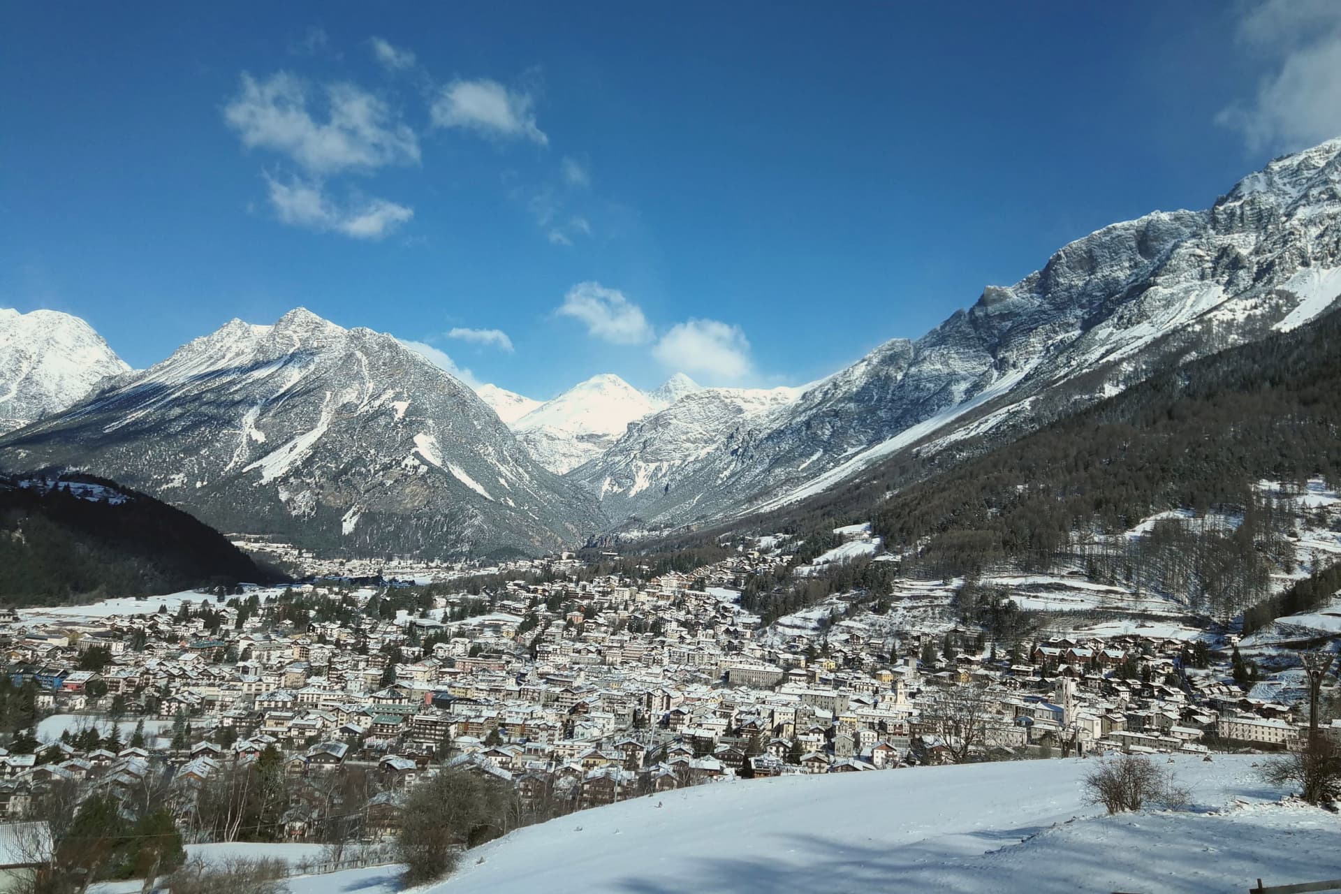
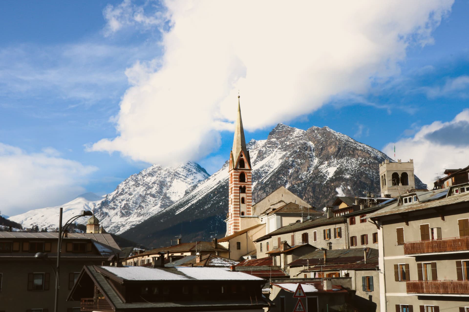
An Alpine spa town at 1,225 meters where three high passes meet and Roman thermal water has fed the baths for two thousand years.
- Best time
- Jun–Sep, Dec–Mar
- By car
- 1 h 59 min from Bolzano
- Population
- 3,960
Known for
ROMAN THERMAL
Nine hot springs at 40 degrees feeding three thermal centres, the Bagni Vecchi used continuously since the Roman era.
STELVIO
The 2,758-meter pass road from Bormio, opened 1825, forty-eight hairpins, a regular Giro d'Italia summit and an Alpine engineering benchmark.
WORLD CUP DOWNHILL
The Stelvio piste in the Cima Bianca area hosts the men's World Cup downhill each December, one of the most technical on the circuit.
When to visit
Best · Jun–Sep, Dec–Mar
- J1°
- F4°
- M5°
- A8°
- M13°
- J19°
- J22°
- A22°
- S17°
- O13°
- N7°
- D3°
- Best
- Hot or crowded
- Quiet
- Mostly closed
Daytime averages, 2020–2024. Weather data by Open-Meteo.com.
The festa: Gervasio e Protasio, 19 June
Why come
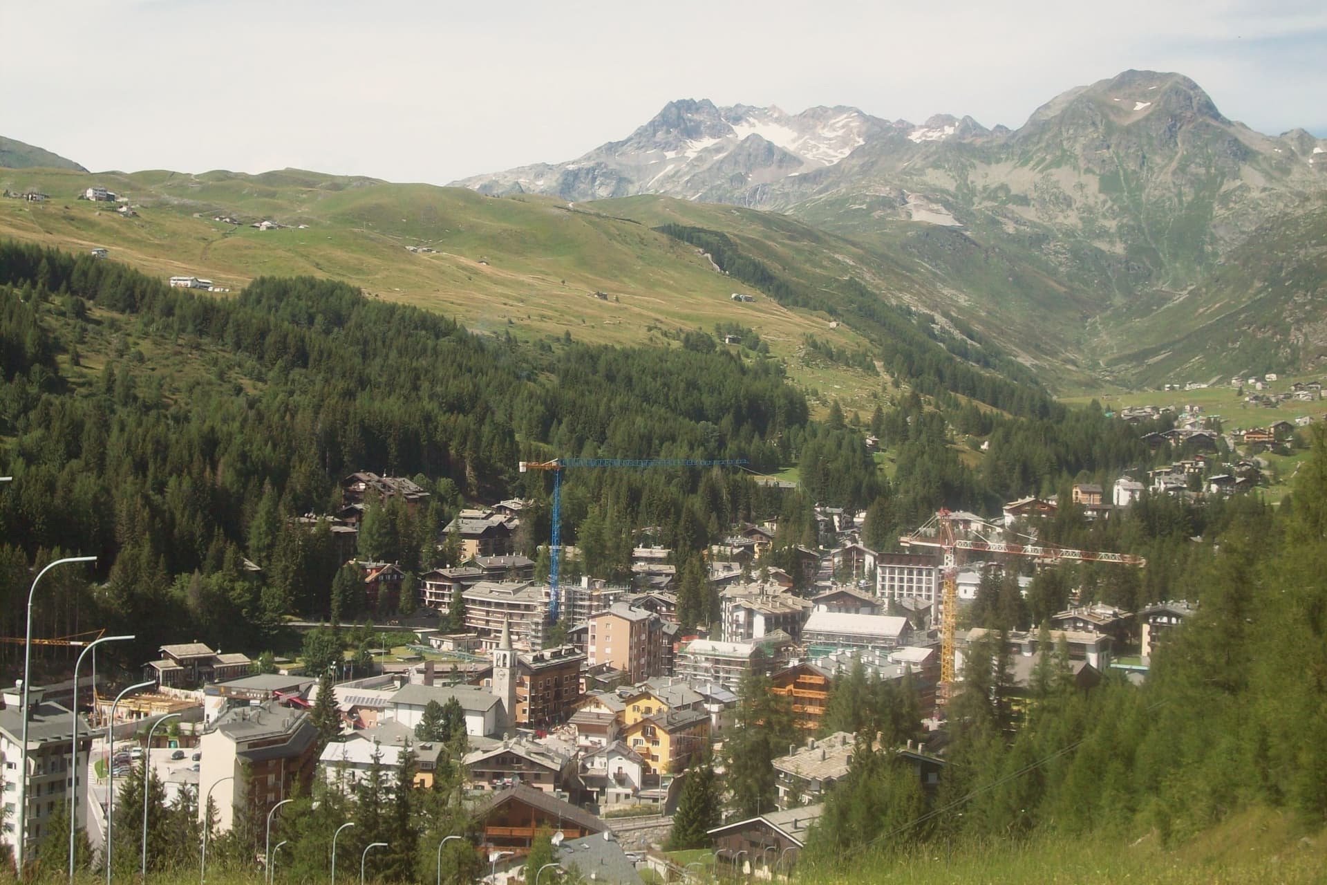
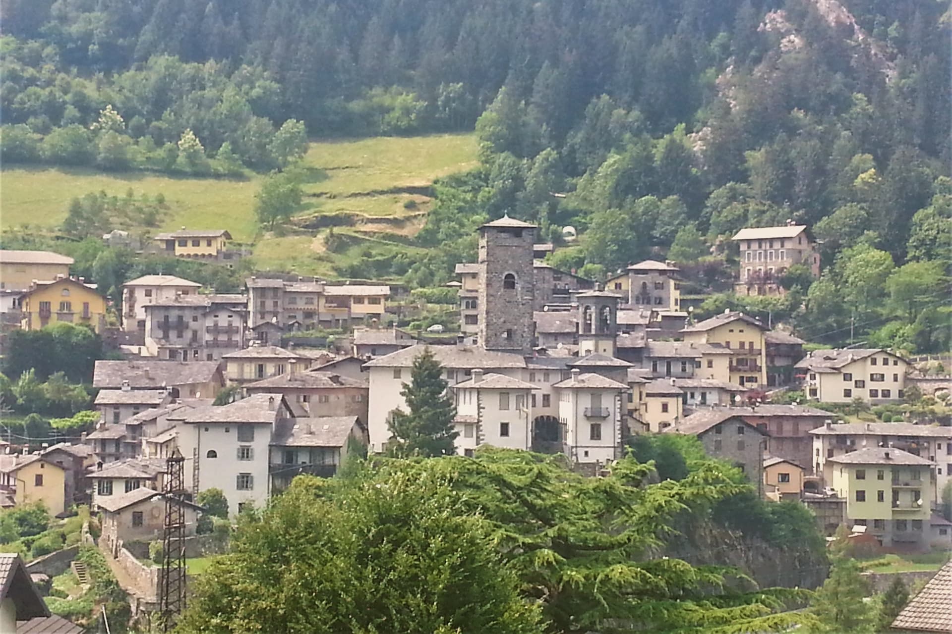
Bormio sits at 1,225 meters in upper Valtellina, at the junction where three high passes, the Stelvio, the Gavia, and the Mortirolo, converge inside the Stelvio National Park. The park ranges from 650 to 3,905 meters, and the springs that feed the town's baths rise separately at 1,420 meters, well above the settlement itself, before being carried down to the three thermal centres: QC Terme Bagni Vecchi, QC Terme Bagni Nuovi, and Bormio Terme.
The town's layout follows this same split between high and low. The Bagni Vecchi sit above the town in caves cut into the rock, closer to the mountain than to the streets, while the medieval center, the Kuerc, with its ninth-century podestà building, holds the civic and commercial life down in the commune itself. The pass road above, meanwhile, belongs to a separate register entirely, an engineered climb rather than a settled place.
What holds Bormio together is this vertical arrangement: water, rock, and road stacked above a small alpine commune that has stayed the administrative and social center while the mountain around it accumulated separate identities, as thermal ground, as national park, as pass, as ski slope.
The Sunday letter
Bormio is on our list. Its letter is still to come.
We are writing about all 1,000 of these towns, one at a time, in a free letter every Sunday: the photo, the food, the festa. That is our mission. Sign up and you will be there when Bormio comes up. By Peter & Sophia, from Pietrasanta.
Read on
Bormio in our articles
How to get there
From Milan (BGY), about 3 hours by car.
Verona (VRN) is about 3h 36m away.
By car from the centre of Bolzano 2 hours, Trento 2h 30m or Brescia 2h 46m.
What to see
QC Terme Bagni Vecchi
Stone rooms and caves above the town, where the same water has run over Roman-era construction for two thousand years.
QC Terme Bagni Nuovi
Belle Époque thermal complex below the Bagni Vecchi, with outdoor pools facing the Alpine peaks and the Valtellina valley.
Kuerc e Palazzo del Podestà
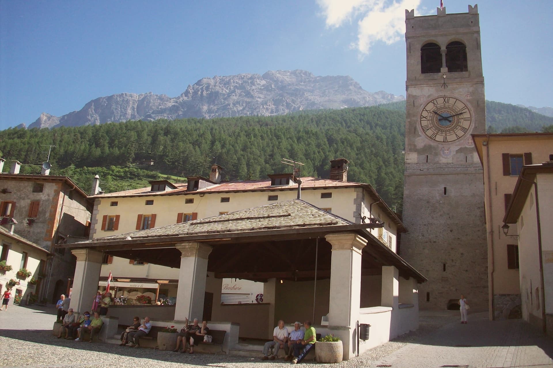
Medieval civic center of Bormio, the Kuerc loggia and the ninth-century Podestà building in the heart of the centro storico.
Passo dello Stelvio
The road climbs in view of its own hairpins stacked one above the next, a route still climbed on race bicycles and still crossed by touring motorcycles bound for the other side of the ridge.
Parco Nazionale dello Stelvio
130,700-hectare national park surrounding Bormio, three-quarters above 2,000 meters, the largest in the central Alps.
Cima Bianca ski area
Bormio's main ski lift system, with the World Cup downhill course Stelvio used for men's racing each December.
The slow-trip planner
Building a trip? Find where Bormio fits in a slow Italy circuit.
Answer five questions. We will shape a geographically coherent slow trip from the 1,000 Italian towns most travelers skip. Yours to save and share.
We recommend
Where to eat and stay
Not our picks, but places the guides put their name to: a Michelin star, a Gambero Rosso fork, a Slow Food snail, a Michelin Key for the hotels. Worth a table, a counter, or a night when you pass through.
Al FilòRistorante
Al Filò holds a Gambero Rosso listing.
GavioliRistorante
Gavioli carries one Gambero Rosso fork (79/100).
Vecchia ComboTrattoria
Vecchia Combo carries two Gambero Rosso prawns.
QC Terme Bagni di Bormio Bagni NuoviHotel
A place in the Michelin hotel guide, at QC Terme Bagni di Bormio Bagni Nuovi.
Living here
- Population 3,960
- Very remotei
- Pharmacy in town
- High school within a 30-minute drive
- Nearest airport Milan, 3 h 0 min drive
- Regional capital Milano, 3 h 32 min drive
Thermal baths in town: Bormio Terme.
Common questions
- What is Bormio known for?
- Bormio is an Alpine spa town at 1,225 meters where three high passes meet and Roman thermal water has fed the baths for two thousand years.
- Where is Bormio?
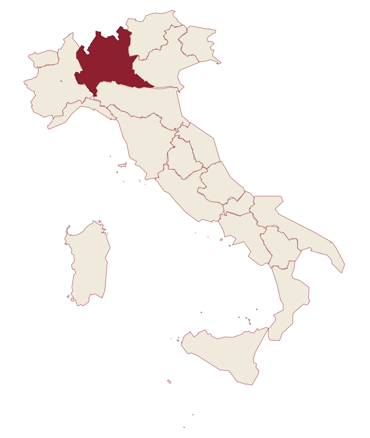
- Bormio is a comune in the province of Sondrio, in Lombardy, at 1225 meters above sea level.
- What is the nearest airport to Bormio?
- Milan (BGY), about 3 hours by car.
- How long is the drive from Bolzano to Bormio?
- About 2 hours by car.
- When is the best time to visit Bormio?
- Best in Jun–Sep, Dec–Mar. July is the warmest month, averaging 22 degrees, and May the wettest, with about 17 rain days.
- Is there a sagra or a festival in Bormio?
- The town keeps its patron saint's day: Gervasio e Protasio, 19 June.
- Which other towns are like Bormio?
- Livigno, Toblach and Innichen.
- How many people live in Bormio?
- 3,960 at the 2023 count.
Tags & datadesignations · numbers · sources
Recognised as
The numbers
- Elevation: 1225 m
- Population: 3,960
- Surface area: 41.44 km²
These figures were compiled from public directories: ISTAT, OpenStreetMap and Wikidata, and from the official listings of the guides named on this page. Town details change; verify with official sources before you travel.
Similar
Towns like Bormio
Livigno
Province: Sondrio
both high in the mountains · both between 3,000 and 10,000 people
Toblach
Province: Bolzano
both high in the mountains · both between 3,000 and 10,000 people
Innichen
Province: Bolzano
both high in the mountains · both between 3,000 and 10,000 people
Cortina d'Ampezzo
Province: Belluno
both high in the mountains · both between 3,000 and 10,000 people
Fonni
Province: Nuoro
both high in the mountains · both between 3,000 and 10,000 people
Troina
Province: Enna
both high in the mountains · both between 3,000 and 10,000 people
🌲 Parco Nazionale
More Parco Nazionale towns
Alfedena
Province: L'Aquila
At 914 meters at the head of the upper Sangro valley, the Samnite Aufidena, with a 15,000-tomb necropolis and a Roman conquest in 298 BC.
Barrea
Province: L'Aquila
A 1,066-meter spur above an artificial lake at the heart of the Abruzzo National Park, with a Samnite necropolis and an 11th-century di Sangro castle.
Calascio
Province: L'Aquila
A village of 125 people under the highest castle in the Apennines, cast as the monk's refuge in Ladyhawke.
Campli
Province: Teramo
A 393-meter town under the Monti della Laga, held by the Farnese for two centuries, with a Scala Santa carrying papal indulgence.
Campo di Giove
Province: L'Aquila
At 1,064 meters under the southwestern Maiella, the highest village in the park, named for a Roman temple to Jupiter.