
Calabria · Cosenza
San Giovanni in Fiore
The capital of the Sila Grande at 1,049 meters, Italy's most populated commune above a thousand.
- Best time
- Jun–Sep, Dec–Mar
- By car
- 3 h 43 min from Salerno
- By train
- Station in the comune
- Population
- 15,906
Known for
GIOACCHINO DA FIORE
Founder of the Florense order and one of the most influential apocalyptic thinkers of the Middle Ages, born nearby in 1135.
ABBAZIA FLORENSE
Romanesque abbey founded in 1188 and rebuilt by 1230, now housing the International Center for Joachimist Studies.
SILA GRANDE
The largest mountain commune in Italy by population above 1,000 meters; territory includes Lorica at 1,314 meters.
When to visit
Best · Jun–Sep, Dec–Mar
- J8°
- F10°
- M10°
- A13°
- M19°
- J24°
- J27°
- A26°
- S22°
- O18°
- N13°
- D10°
- Best
- Hot or crowded
- Quiet
- Mostly closed
Daytime averages, 2020–2024. Weather data by Open-Meteo.com.
Why come
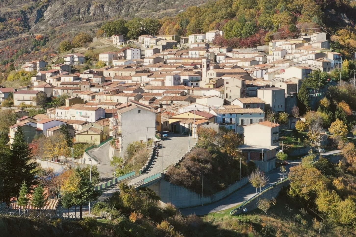
San Giovanni in Fiore sits at 1,049 meters at the center of Sila Grande, inside Sila National Park, the largest mountain commune in Italy by population above 1,000 meters altitude. The town grew from the abbey founded here in 1188 by the Calabrian monk and medieval theologian whom many historians consider the most influential apocalyptic thinker of the Middle Ages. The abbey gave the settlement its shape: the old town climbs Monte Difesa around the complex, and the built-up core still reads as a place that grew outward from a religious house rather than a market or a port.
The municipal territory reaches well beyond that core, stretching across the Sila plateau to take in Lorica, the lake village at 1,314 meters, so that a single commune holds both a mountain town built around a medieval abbey and a lake station given over to hiking and skiing. The town is in the Città del Vino network. Calabrian emigration history has its capital here, the population of half a century ago halved by departures to Argentina, North America and northern Italy. A place, then, that reached its greatest size as a religious and demographic center and has spent the decades since sending its people elsewhere while its territory grew to include a second, quite different kind of settlement at altitude.
The Sunday letter
San Giovanni in Fiore is on our list. Its letter is still to come.
We are writing about all 1,000 of these towns, one at a time, in a free letter every Sunday: the photo, the food, the festa. That is our mission. Sign up and you will be there when San Giovanni in Fiore comes up. By Peter & Sophia, from Pietrasanta.
Read on
San Giovanni in Fiore in our articles
 The best mountain towns in the province of Cosenza6 towns, San Giovanni in Fiore among them.
 The best towns that eat well in the province of Cosenza6 towns, San Giovanni in Fiore among them.
 The best wine towns in Calabria6 towns, San Giovanni in Fiore among them.
 The 7 best towns with a serious restaurant in Calabria7 towns, San Giovanni in Fiore among them.
How to get there
From Lamezia / Reggio (SUF), about 1h 49m by car.
Naples / Salerno (NAP) is about 4h 27m away.
By car from the centre of Salerno 3h 43m, Bari 4h 25m or Naples 4h 27m.
There is a railway station in the comune, so you can arrive without a car.
What to see
Abbazia Florense
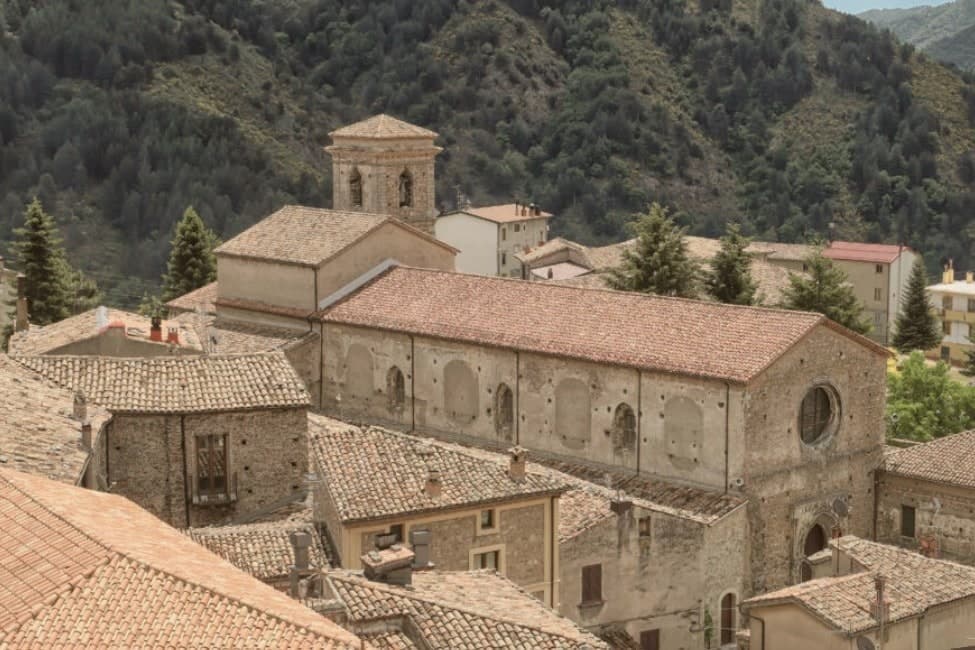
Founded by Gioacchino da Fiore in 1188, the abbey burned in 1214 and was rebuilt by 1230. The Latin-plan complex survives with a large central cloister ringed by ogival arches.
Centro Internazionale di Studi Gioachimiti
Housed in the abbey complex, the center for Joachimist Studies holds a medieval library and the working archive on Gioacchino's writings.
Lorica
Sila lake village at 1,314 meters within the municipality, a year-round mountain station on Lago Arvo with summer hiking and winter skiing.
Parco Nazionale della Sila
Sila Grande's beech and Calabrian-pine forests, the Lariceto and the high pastures surround the town and frame the territory.
Centro storico
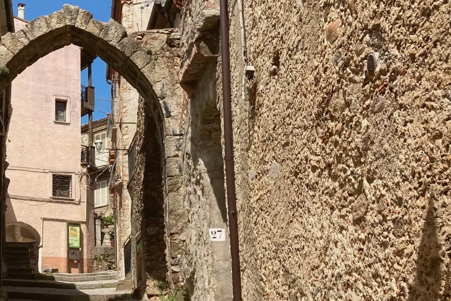
Built on Monte Difesa between 950 and 1,170 meters, the old town climbs around the abbey in the layout that formed as the settlement grew up around it.
The slow-trip planner
Building a trip? Find where San Giovanni in Fiore fits in a slow Italy circuit.
Answer five questions. We will shape a geographically coherent slow trip from the 1,000 Italian towns most travelers skip. Yours to save and share.
We recommend
Where to eat
Not our picks, but places the guides put their name to: a Michelin star, a Gambero Rosso fork, a Slow Food snail, a Michelin Key for the hotels. Worth a table, a counter, or a night when you pass through.
HyleRistorante
Hyle carries one Michelin star, two Gambero Rosso forks (87/100), plus a place in L'Espresso's Top 300, among other nods.
Brillo ParlanteGriglieria
Brillo Parlante holds a Gambero Rosso listing.
Living here
- Population 15,906
- Remotei
- Pharmacy in town
- High school within a 30-minute drive
- Train station in the comune
- Nearest airport Lamezia / Reggio, 1 h 49 min drive
- Regional capital Catanzaro, 1 h 44 min drive
Common questions
- What is San Giovanni in Fiore known for?
- San Giovanni in Fiore is the capital of the Sila Grande at 1,049 meters, Italy's most populated commune above a thousand.
- Where is San Giovanni in Fiore?
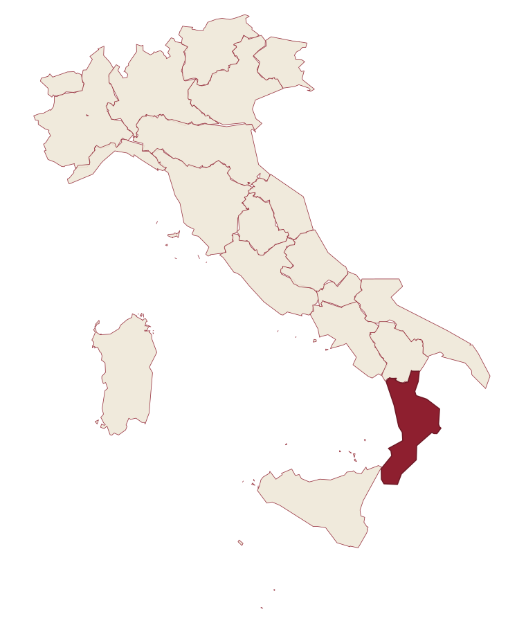
- San Giovanni in Fiore is a comune in the province of Cosenza, in Calabria, at 1049 meters above sea level.
- What is the nearest airport to San Giovanni in Fiore?
- Lamezia / Reggio (SUF), about 1h 49m by car.
- Can you get to San Giovanni in Fiore without a car?
- Yes. There is a railway station in the comune, so you can arrive by train.
- How long is the drive from Salerno to San Giovanni in Fiore?
- About 3h 43m by car.
- When is the best time to visit San Giovanni in Fiore?
- Best in Jun–Sep, Dec–Mar. July is the warmest month, averaging 27 degrees, and May the wettest, with about 13 rain days.
- Which other towns are like San Giovanni in Fiore?
- Petralia Sottana, Campo di Giove and Innichen.
- How many people live in San Giovanni in Fiore?
- 15,906 at the 2023 count.
Tags & datadesignations · numbers · sources
Recognised as
The numbers
- Elevation: 1049 m
- Population: 15,906
- Surface area: 282.53 km²
These figures were compiled from public directories: ISTAT, OpenStreetMap and Wikidata, and from the official listings of the guides named on this page. Town details change; verify with official sources before you travel.
Similar
Towns like San Giovanni in Fiore
Petralia Sottana
Province: Palermo
both high in the mountains · both mountain towns above 1,000 metres
Campo di Giove
Province: L'Aquila
both high in the mountains · both mountain towns above 1,000 metres
Innichen
Province: Bolzano
both high in the mountains · both mountain towns above 1,000 metres
Toblach
Province: Bolzano
both high in the mountains · both mountain towns above 1,000 metres
Limone Piemonte
Province: Cuneo
both high in the mountains · both mountain towns above 1,000 metres
Roccaraso
Province: L'Aquila
both high in the mountains · both mountain towns above 1,000 metres
🌲 Parco Nazionale
More Parco Nazionale towns in Calabria
Aieta
Province: Cosenza
An eagle's-nest village in the western Pollino, with one of the few sixteenth-century Renaissance palazzi standing in Calabria.
Alessandria del Carretto
Province: Cosenza
The highest village in the Pollino at 1,043 meters, the only Italian commune carrying its founder's full name, with a fir-tree ritual every 3 May.
Belvedere Marittimo
Province: Cosenza
A Riviera dei Cedri town on the Tyrrhenian, its castle set on the highest coastal hill above a convent that has kept a saint's relics for three centuries.
Bova
Province: Reggio di Calabria
The capital of the Bovesìa, a 416-resident Aspromonte hilltop borgo at 820m and the cultural centre of the Grecanic minority, where the Calabrian-Greek dialect descended from Byzantine-era Greek is still spoken by elders.
Cerchiara di Calabria
Province: Cosenza
A village at 650 meters below a mountain rock sanctuary, with a sulphurous cave feeding the thermal springs beneath it.