
Abruzzo · L'Aquila
Rivisondoli
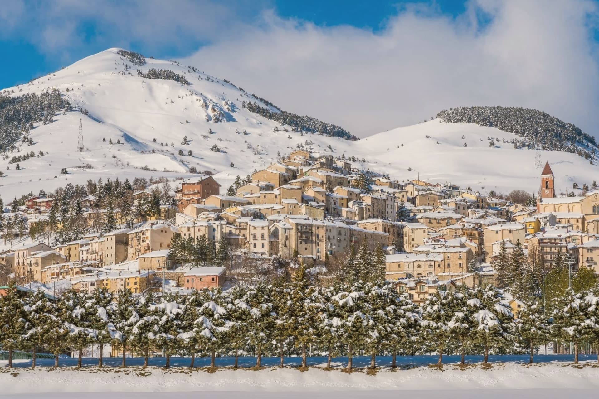
At 1,320 meters on the Cinque Miglia plateau, a village known for its Epiphany living nativity.
- Best time
- Jun–Sep, Dec–Mar
- By car
- 1 h 29 min from Pescara
- Population
- 676
Known for
ALTO SANGRO
Half of the linked ski domain shared with Roccaraso, 90+ kilometers of slopes, the largest in central and southern Italy.
PRESEPE VIVENTE
The January 5 Living Nativity, one of the oldest large-cast presepi viventi in Italy, performed on the slopes outside town.
CINQUE MIGLIA
The high plateau between Rivisondoli and Roccaraso, an exposed karst landscape where historical caravans froze in winter storms.
When to visit
Best · Jun–Sep, Dec–Mar
- J5°
- F8°
- M8°
- A11°
- M16°
- J21°
- J25°
- A24°
- S20°
- O16°
- N10°
- D7°
- Best
- Hot or crowded
- Quiet
- Mostly closed
Daytime averages, 2020–2024. Weather data by Open-Meteo.com.
Why come
Rivisondoli sits on the flank of Monte Calvario, looking down at the plateau that runs north toward Roccaraso. The town was first recorded in 724 in a diploma of Grimoald II, Duke of Benevento, and grew in the 12th century along the Via degli Abruzzi, the military and trade route across the central Apennines. It was once known for its weapons production. The 1792 fire destroyed most of the village, and the opening of the Sulmona-Isernia railway in the 19th century turned it toward tourism rather than trade. The Italian royal family kept a residence here in 1913.
Rivisondoli and Roccaraso face each other across the Cinque Miglia plateau, close enough that their ski slopes were joined into one domain and their names are now said together. The older village, rebuilt twice, climbs one flank of the mountain while the plateau below stays open and treeless, the same ground that once slowed traders and caravans on the route through the Apennines. What began as a stop on a military road became, after fire and war remade the town twice, a place oriented instead toward winter visitors and a single night in January.
The Sunday letter
Rivisondoli is on our list. Its letter is still to come.
We are writing about all 1,000 of these towns, one at a time, in a free letter every Sunday: the photo, the food, the festa. That is our mission. Sign up and you will be there when Rivisondoli comes up. By Peter & Sophia, from Pietrasanta.
Read on
Rivisondoli in our articles
 The 6 best small towns that eat well in the province of L'Aquila6 towns, Rivisondoli among them.
 The best hidden towns with a serious restaurant in the province of L'Aquila6 towns, Rivisondoli among them.
 The best hidden towns with a serious restaurant that eat well within 90 minutes of Pescara8 towns, Rivisondoli among them.
 The best hidden towns with a serious restaurant in Abruzzo10 towns, Rivisondoli among them.
How to get there
From Naples / Salerno (NAP), about 2h 17m by car.
Rome (FCO) is about 3 hours away.
By car from the centre of Pescara 1h 29m or Naples 2h 21m.
Coming by train into Pescara Centrale? Rivisondoli is about 1h 30m away by road.
What to see
Alto Sangro ski area
The lift network runs between 1,309 and 2,142 meters, joining Rivisondoli's slopes to Roccaraso's across the open plateau.
Presepe Vivente
Hundreds of villagers in period costume take the hillside outside town for the performance, the cast spread across the open ground rather than a stage.
Altopiano delle Cinque Miglia
Treeless and averaging 1,250 meters, the plateau in the Alto Sangro is prone to extreme winter winds, a stretch that historically caught travelers unprepared.
Centro storico
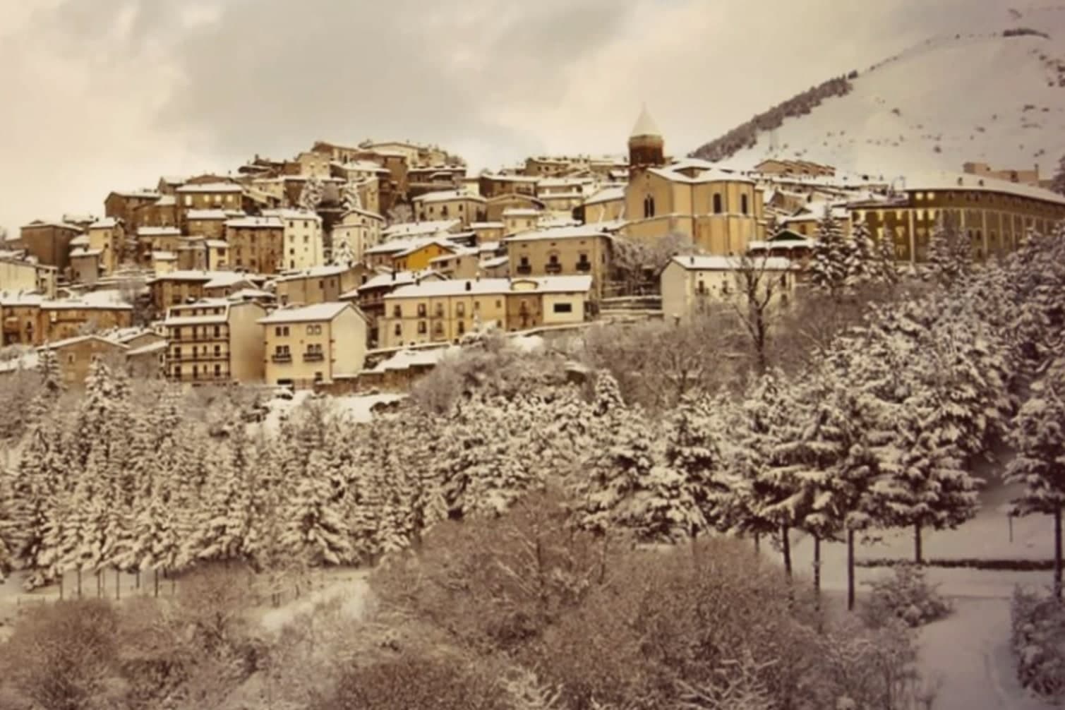
Rebuilt after the 1792 fire and again after WWII damage along the Gustav Line, the village climbs the southern flank of Monte Calvario.
The slow-trip planner
Building a trip? Find where Rivisondoli fits in a slow Italy circuit.
Answer five questions. We will shape a geographically coherent slow trip from the 1,000 Italian towns most travelers skip. Yours to save and share.
We recommend
Where to eat
Not our picks, but places the guides put their name to: a Michelin star, a Gambero Rosso fork, a Slow Food snail, a Michelin Key for the hotels. Worth a table, a counter, or a night when you pass through.
Da GiocondoRistorante
Da Giocondo carries a Michelin Bib Gourmand.
Living here
- Population 676
- Very remotei
- Pharmacy: none mapped
- High school within a 30-minute drive
- Nearest airport Naples / Salerno, 2 h 17 min drive
- Regional capital L'Aquila, 1 h 43 min drive
Thermal baths in town: Terme Alte.
Common questions
- What is Rivisondoli known for?
- At 1,320 meters on the Cinque Miglia plateau, a village known for its Epiphany living nativity.
- Where is Rivisondoli?
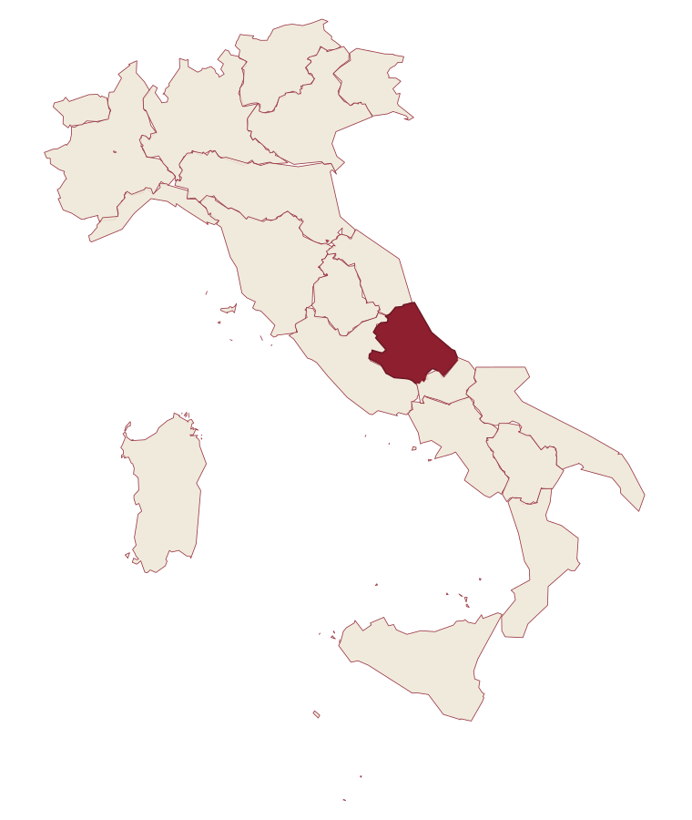
- Rivisondoli is a comune in the province of L'Aquila, in Abruzzo, at 1320 meters above sea level.
- What is the nearest airport to Rivisondoli?
- Naples / Salerno (NAP), about 2h 17m by car.
- How long is the drive from Pescara to Rivisondoli?
- About 1h 29m by car.
- When is the best time to visit Rivisondoli?
- Best in Jun–Sep, Dec–Mar. July is the warmest month, averaging 25 degrees, and May the wettest, with about 16 rain days.
- Which other towns are like Rivisondoli?
- Barrea, Scontrone and Capracotta.
- How many people live in Rivisondoli?
- 676 at the 2023 count.
Tags & datadesignations · numbers · sources
Recognised as
The numbers
- Elevation: 1320 m
- Population: 676
- Surface area: 32 km²
These figures were compiled from public directories: ISTAT, OpenStreetMap and Wikidata, and from the official listings of the guides named on this page. Town details change; verify with official sources before you travel.
Similar
Towns like Rivisondoli
Barrea
Province: L'Aquila
both high in the mountains · both under 1,000 people
Scontrone
Province: L'Aquila
both high in the mountains · both under 1,000 people
Capracotta
Province: Isernia
both high in the mountains · both under 1,000 people
Pescopennataro
Province: Isernia
both high in the mountains · both under 1,000 people
Alagna Valsesia
Province: Vercelli
both high in the mountains · both under 1,000 people
Sauris
Province: Udine
both high in the mountains · both under 1,000 people
🌲 Parco Nazionale
More Parco Nazionale towns in Abruzzo
Alfedena
Province: L'Aquila
At 914 meters at the head of the upper Sangro valley, the Samnite Aufidena, with a 15,000-tomb necropolis and a Roman conquest in 298 BC.
Barrea
Province: L'Aquila
A 1,066-meter spur above an artificial lake at the heart of the Abruzzo National Park, with a Samnite necropolis and an 11th-century di Sangro castle.
Calascio
Province: L'Aquila
A village of 125 people under the highest castle in the Apennines, cast as the monk's refuge in Ladyhawke.
Campli
Province: Teramo
A 393-meter town under the Monti della Laga, held by the Farnese for two centuries, with a Scala Santa carrying papal indulgence.
Campo di Giove
Province: L'Aquila
At 1,064 meters under the southwestern Maiella, the highest village in the park, named for a Roman temple to Jupiter.