The 10 best small towns to live in Italy, by our own rules
Ten towns: what each is best for, what a home costs, and the catch. A square meter runs from €660 in Susa to €5,200 in Loano.
We've written about 1 of these 10. From the 1,000 towns picked by Peter Benei.
92 towns written about, 908 to go. Follow along, free: Subscribe on Substack
Most lists of the best places to live in Italy are lists of famous places. Ours starts from rules. In our Where to Move in Italy series we wrote down what we would look for ourselves: a town of 5,000 to 20,000 people, big enough to keep a life of its own and small enough to stay one community; a real city 30 minutes to an hour away by car, near enough for the hospital and the airport, far enough that the town is not its suburb; and, where we can, a station.
We held every one of our 1,000 towns to those rules, then to the map, counting ten everyday services within 500 meters of the center, from the grocer and the pharmacy to the doctor and the bar. 44 small towns pass every rule and have at least 7 of the ten. These are the 10 with the most of daily life on foot.
Every number comes from the town's own page. The drive is routed, not guessed. The services are OpenStreetMap's, read in November 2026, and the map misses things, so a shop it lacks is not proof there is none. None of it measures whether you will like the place: for that, go out of season, on a weekday.
If you are still choosing, we have also written 10 small towns in Italy where everyday life is a walk and The 9 best small towns to live in Liguria, by our own rules.
1. Andora
Best for olive oil. It belongs to the national association of olive oil towns.
1 h 23 min from Genoa · homes €2,900 to €4,800 a m² in the center · 7,239 people
Why visit Andora
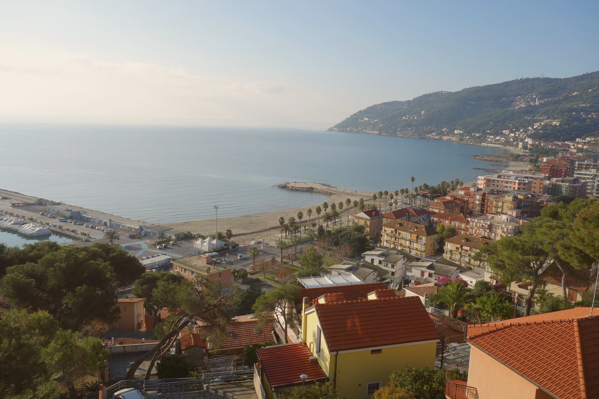
Andora sits on the Val Merula in the Riviera di Ponente, the westernmost coastal commune of the Province of Savona before crossing into Imperia. The original settlement was Borgata Castello, on the castle hill set back from the coast because Saracen raids made the shore unsafe.
The marquises of Clavesana made the castle, the Paraxo, their stronghold in the twelfth century, and beside it stands the late-thirteenth-century Romanesque-Gothic church of Saints Giacomo and Filippo, built like its bell tower in Capo Mele stone. Together they include one of the best-preserved Romanesque churches of the Riviera delle Palme.
The modern town moved to the Aurelia coast road after the raids stopped. Colla Micheri, the hilltop hamlet restored by Thor Heyerdahl of Kon-Tiki fame from the late 1950s, sits above the modern beachfront.
The Spighe Verdi recognition flags the green network running through the commune; the olive grove network covers the Val Merula slopes.
7,239 people, and Imperia is 31 min away by car, with a station in town. All ten everyday services we look for, from a grocer to a pharmacy, are on the map within 500 meters of the center.
What to see in Andora
- Castello dei Clavesana. Ruined castle known as the Paraxo, stronghold of the marquises of Clavesana from the twelfth century, the first nucleus of medieval Andora.
- Chiesa dei Santi Giacomo e Filippo. Late thirteenth-century Romanesque-Gothic church beside the castle in Borgata Castello, central polyphore and rose window in Capo Mele stone.
- Colla Micheri. Hilltop hamlet of old stone houses around the church of San Sebastiano, restored by Thor Heyerdahl from the late 1950s.
How to get to Andora
It has its own railway station. Genoa is about 1 h 23 min away by road. The full route from Genoa.
Our tip
April through June and September into October are the strongest months on Andora's coast. The olive groves come into harvest from late October into November. July and August fill the Aurelia beachfront and the Riviera dei Fiori traffic doubles.
2. Arenzano
Best for a walk through the old town. It is on the list of Italy's most beautiful villages.
31 min from Genoa · homes €2,400 to €4,100 a m² in the center · 11,156 people
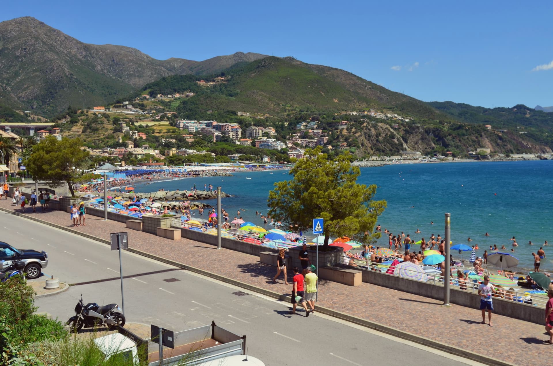
Why visit Arenzano
Arenzano sits in a bay at the foot of Capo San Martino on the Riviera di Ponente, twenty kilometers west of Genova. The name covers two different territories that share a boundary rather than a character: a strip of seafront and promenade at sea level, and behind it, rising fast, the two-thirds of the commune that belongs to the mountain park, climbing to peaks above a thousand meters within an hour of the shore.
The town itself gathers between the two, with the church and the villa a short walk apart near the water, and the trailhead sitting well above both, at 758 meters, as the point where the coastal town ends and the climb into the plateau begins. Arenzano reached the Borgo dei Borghi RAI final, which brought enough recognition to fill August weekends but not enough to make the rest of the year hard.
What holds the place together is that proximity: a pilgrimage site, a seat of government in a park, a sandy bay and an alpine plateau all sit within the same short walk of each other, so the town reads less as a single attraction than as a set of unrelated destinations that happen to share an address.
11,156 people, and Genoa is 31 min away by car, with a station in town. All ten everyday services we look for, from a grocer to a pharmacy, are on the map within 500 meters of the center.
What to see in Arenzano
- Santuario di Gesù Bambino di Praga. The sanctuary draws pilgrims year-round; the interior holds the statue of the Infant of Prague at the center of the devotion it gave the town.
- Villa Negrotto Cambiaso. The villa's park holds palm and cedar groves, a small aviary and a glasshouse, alongside the offices it now houses.
- Parco naturale regionale del Beigua. Monte Reixa rises to 1,183 meters within the park, reached by a network of trails that begin at sea level.
How to get to Arenzano
It has its own railway station. Genoa is about 31 min away by road. The full route from Genoa.
Our tip
April through June is the cleanest stretch for combining the Beigua trails with sea swimming, before the heat. July and August fill the bay with Genovesi day-trippers and weekend cars on the via Aurelia; the centro storico can be hard to park. September empties out and stays warm enough to swim into October.
3. Levanto
Best for walks in a national park. Part of the comune lies in a national park.
1 h 12 min from Genoa · homes €3,100 to €4,400 a m² in the center · 5,050 people
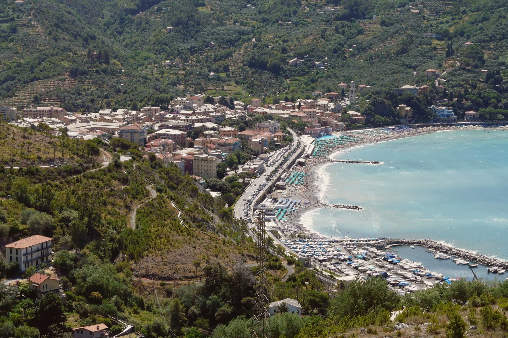
Why visit Levanto
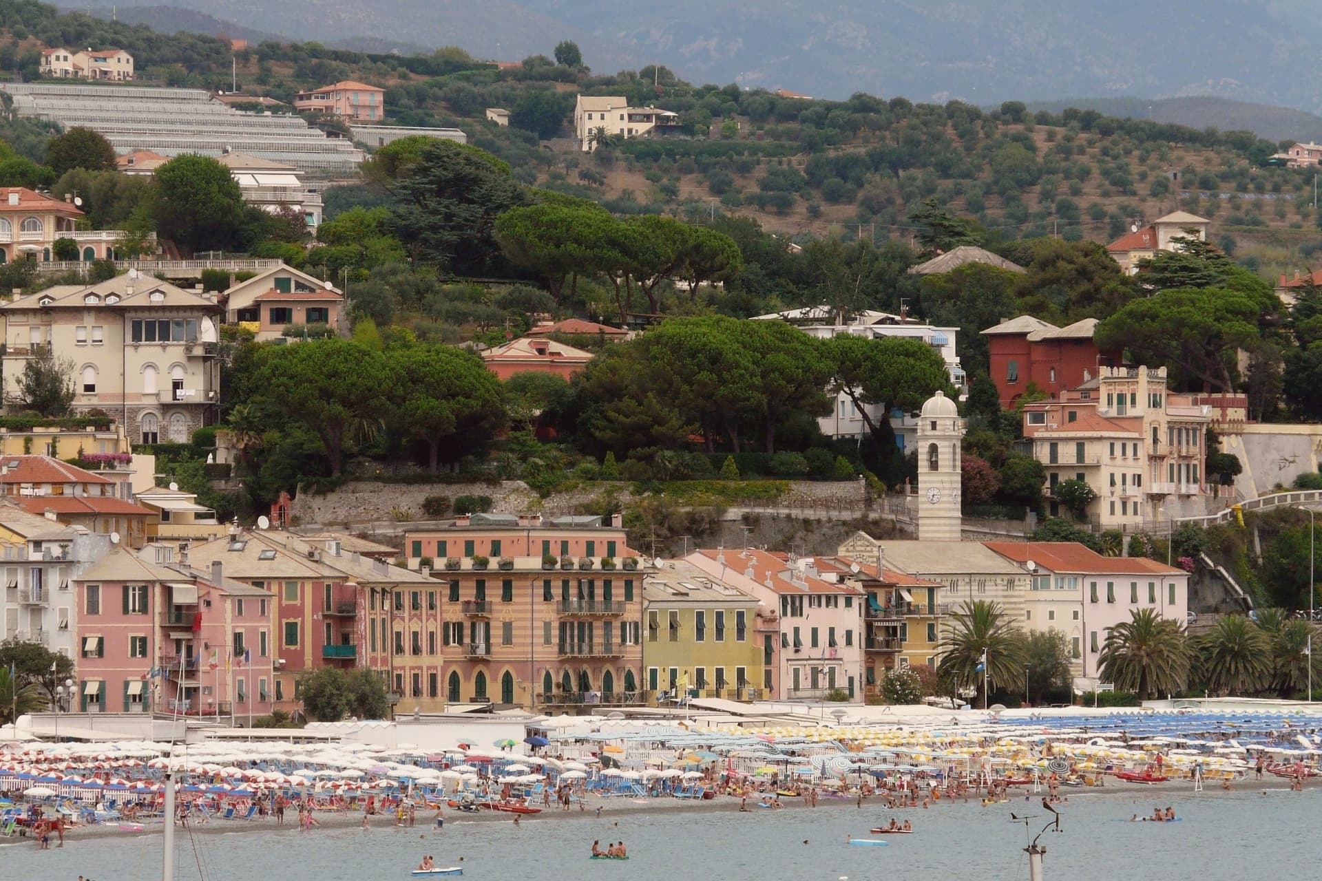
Levanto sits at sea level on the Ligurian coast, twenty kilometers northwest of La Spezia, on the western edge of the Cinque Terre National Park, which takes in part of its territory. The Cinque Terre Express train stops here every half hour on its way to the five villages, but Levanto has the things they do not: a long sand-and-gravel beach with Bandiera Blu status, a flat centro storico, and a surf break that local guides classify as one of the few big-wave spots in Italy.
The Chiesa di Sant'Andrea, built in 1222, fronts the old town with horizontal bands of white marble and dark green serpentine and a large rose window. Casa Restani, on Via Grillo, is a surviving medieval merchant house with the ground floor where goods from the harbor were stored.
Levanto holds Cittaslow, Bandiera Blu, Parco Nazionale, and Città dell'Olio at once.
5,050 people, and La Spezia is 43 min away by car, with a station in town. All ten everyday services we look for, from a grocer to a pharmacy, are on the map within 500 meters of the center.
What to see in Levanto
- Chiesa di Sant'Andrea. Parish church built in 1222 in Ligurian Gothic style, with horizontal bands of white marble and green serpentine and a large rose window over the main door.
- Castello di Levanto. Thirteenth-century defensive castle on the hillside, still intact but privately owned and closed to the public.
- Loggia Comunale. Thirteenth-century arcaded loggia on the main piazza, awarded a UNESCO title in 2007 as a monument of culture and peace.
How to get to Levanto
It has its own railway station. Genoa is about 1 h 12 min away by road. The full route from Genoa.
Our tip
April through June and September into October are the dry months. The sea warms enough for swimming by late May. The surf builds in autumn and winter when Atlantic systems push swell into the gulf.
4. Anguillara Sabazia
Best for a trip without a car. The train stops in the commune.
50 min from Rome · homes €1,150 to €1,700 a m² in the center · 19,038 people
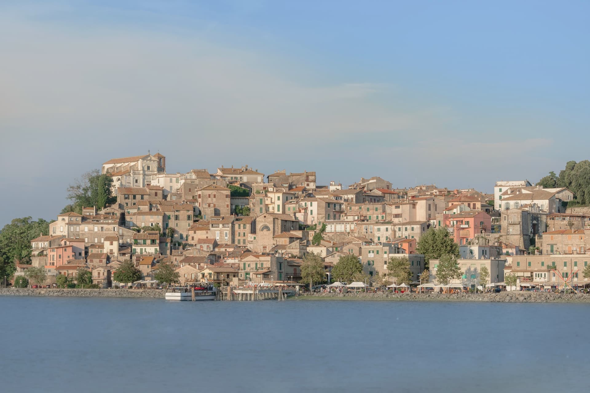
Why visit Anguillara Sabazia
Anguillara Sabazia sits on a small volcanic cape that pushes into Lake Bracciano from the southern shore, twenty-five kilometers northwest of Rome. The medieval town climbs from the lake on stepped streets to the Porta Maggiore and the Collegiata di Santa Maria Assunta at the top.
The setting is older than the medieval town: La Marmotta, a few hundred meters offshore from the cape, is one of the oldest underwater archaeological sites in Europe, an Early Neolithic lakeshore village dated to 5700 BC, with preserved wooden canoes and grain stores in the lakebed mud. The Romans came later: Rutilia Polla, a Roman patrician, owned a villa on the cape in the first century BC, and the modern town name carries the surname of the medieval Anguillara family who took the place after the empire.
Anguillara is one of three communes on Lake Bracciano with Bracciano and Trevignano, and it is the closest to Rome of the three.
19,038 people, and Fiumicino is 37 min away by car, with a station in town. Nine of the ten everyday services we look for, from a grocer to a pharmacy, are on the map within 500 meters of the center.
What to see in Anguillara Sabazia
- Porta Maggiore e centro storico. Medieval gate and stepped town climbing from the lakefront on the volcanic cape, with stone streets converging on the upper piazza.
- Collegiata di Santa Maria Assunta. Main church at the top of the cape, rebuilt in the sixteenth century on earlier foundations, with views over the lake from the parvis.
- Lungolago e cape. Lakefront promenade and small beaches along the cape, with views east to Trevignano and west to Bracciano across the volcanic basin.
How to get to Anguillara Sabazia
It has its own railway station. Rome is about 50 min away by road. The full route from Rome.
Our tip
April through June and September through October are the strong months. The cape is exposed and the wind off the lake keeps the temperature mild even in warm weeks. July and August are hot, around thirty degrees, and the lakefront fills on weekends with Romans driving up for a swim and grilled coregone.
5. Arona
Best for a slow weekend. The Touring Club gives it its orange flag for small inland towns.
49 min from Novara · homes €1,650 to €2,450 a m² in the center · 13,655 people
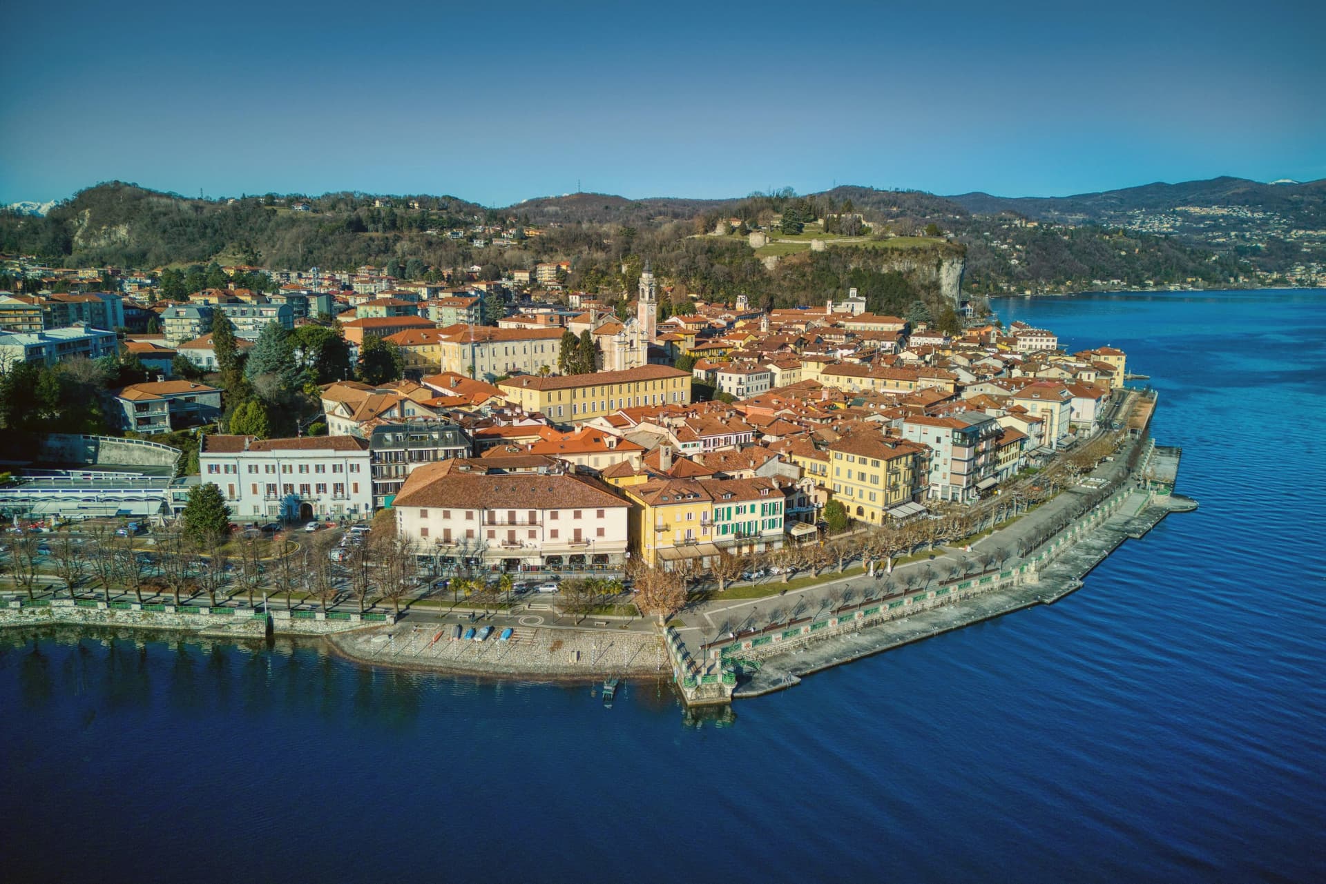
Why visit Arona
Arona sits ninety kilometers north of Milano, the first stop most travelers reach when they leave the city for the lakes. The town came under the Borromeo family in 1439 and stayed there for centuries: the castle on the hill above town was their stronghold, and the next hill over holds the statue raised in the family's honor, so the two high points of Arona both belong to the same lineage looking down on the water and on each other.
The lakefront below connects the two hills to the church on the shore and to the promenade that runs north with Angera visible across the water on the Lombard side. The natural park on the southern edge of the commune sits apart from this Borromeo core, its pile-dwelling remains far older than anything else in town and unconnected to the family's centuries of rule.
What the place adds up to is a town organized around one family's presence in stone and copper, with a much older, unrelated settlement preserved at its edge.
13,655 people, and Gallarate is 32 min away by car, with a station in town. Nine of the ten everyday services we look for, from a grocer to a pharmacy, are on the map within 500 meters of the center.
What to see in Arona
- Sancarlone. Copper colossus of San Carlo Borromeo, designed by Il Cerano and built between 1624 and 1698, standing above the Sacro Monte.
- Rocca di Arona. Ruined fortress on the hill above town, the walls broken into towers since the demolition, with views over the water below.
- Collegiata di Santa Maria Nascente. Late medieval church on the lakefront, holding a polyptych by Gaudenzio Ferrari completed in 1511.
How to get to Arona
It has its own railway station. Novara is about 49 min away by road. The full route from Milan.
Our tip
April through June and September into October are the best months on the south shore of Lake Maggiore. The lake stays cool, the lungolago carries traffic without congestion, and the ferries run a full timetable to Angera and the Borromeo islands further north. July and August are warm and busy: ferry queues, full hotels, and the southern lake basin gathering most of the day-trip volume from Milano.
6. Bracciano
Best for a long lunch. Food guides list three tables here.
58 min from Rome · homes €1,200 to €1,750 a m² in the center · 18,379 people
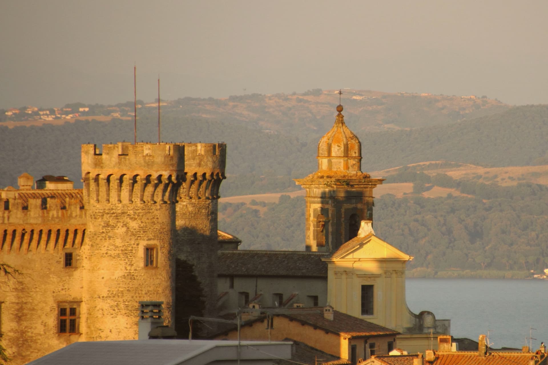
Why visit Bracciano
Bracciano stands at 280 meters above the southern shore of Lago di Bracciano, the volcanic crater lake known historically as Sabatino, the eighth largest in Italy. The Castello Orsini-Odescalchi was begun by Napoleone Orsini in 1470 and completed by his son Virginio Gentile in 1485; the architect was Francesco di Giorgio Martini.
It is one of the better-preserved examples of Renaissance military architecture in Italy, a five-towered pentagon on a polygonal base, with frescoes by Antoniazzo Romano and the Zuccari brothers. The Orsini lost it through debt in 1696 to Livio Odescalchi, nephew of Pope Innocent XI; the Odescalchi still own it.
Bracciano supplies a significant part of Rome's drinking water through the aqueduct that begins in the lake. The town is also a hazelnut commune, member of the Città della Nocciola network.
Tom Cruise married Katie Holmes in the castle in November 2006, which is how most people outside Italy heard of the place.
18,379 people, and Fiumicino is 35 min away by car, with a station in town. Nine of the ten everyday services we look for, from a grocer to a pharmacy, are on the map within 500 meters of the center.
What to see in Bracciano
- Castello Orsini-Odescalchi. 1470-1485 Renaissance castle, five round towers on a pentagonal plan, frescoes by Antoniazzo Romano and the Zuccari brothers.
- Lago di Bracciano. Volcanic crater lake, eighth largest in Italy at 57 square kilometers, source of part of Rome's drinking water.
- Centro storico. Medieval town below the castle walls, organized in concentric rings around the rocca, with two surviving medieval gates.
How to get to Bracciano
It has its own railway station. Rome is about 58 min away by road. The full route from Rome.
Our tip
April through October is the lake season. May and June bring the warmest weather without the August crowd from Rome; the shore villages of Anguillara and Trevignano fill on weekends and empty mid-week. July and August are hot and busy.
7. Loano
Best for a swim. The comune's beach holds a Blue Flag.
1 h 16 min from Genoa · homes €3,100 to €5,200 a m² in the center · 10,688 people
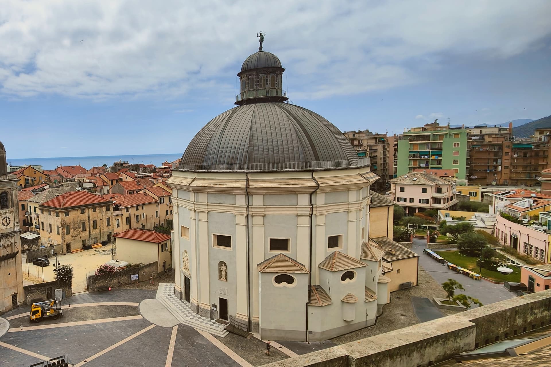
Why visit Loano
Loano lies sixty kilometers southwest of Genova, at the foot of the arc of mountains that shelters it from inland weather. The town was an imperial fief of the Doria family from the thirteenth century, and the family financed the major public buildings still in use today: the palace at the centro's heart, the loggia beside it where civic business was once conducted, and, indirectly, the church that stands nearer the harbor, built for the town's seafarers and still holding their votive offerings of brigantines and barques.
The old centro, with its palace, loggia and church, sits inland of the modern marina and the two kilometers of beach that run east from it. The mountain at Loano's back and the harbor at its front mark the two poles the town has always worked between: the Doria who governed from the hill and the sailors who prayed by the water.
10,688 people, and Savona is 50 min away by car, with a station in town. Nine of the ten everyday services we look for, from a grocer to a pharmacy, are on the map within 500 meters of the center.
The catch: Homes in the center cost up to €5,200 a m².
What to see in Loano
- Palazzo Doria. Considered one of the most representative civil Renaissance palaces in Liguria, its rooms now house the town's administrative offices, and the mosaic floor remains open to view on the main level.
- Chiesa di Sant'Agostino. Founded 1582 by Zenobia Del Carretto, rebuilt 1588-98; called the Madonnetta, the seafarers' church, with votive ship models inside.
- Marina di Loano. The Yachting Pages ranking sits alongside a working harbor east of the centro, with the beach running two kilometers of sand and gravel toward it.
How to get to Loano
It has its own railway station. Genoa is about 1 h 16 min away by road. The full route from Genoa.
Our tip
April through June and September into October are the strongest months on the Loano front, with the marina full of boats and the beach manageable. July and August are warm, often 28 to 31 degrees, and the population doubles with families on long stays from Milano and Torino. November through March is the calmest stretch but the town stays open because 10,700 residents keep daily services running; the Madonnetta opens for the seafarers' mass on 8 December.
8. Susa
Best for a stage of a long walk. The Via Francigena passes through.
53 min from Turin · homes €660 to €1,100 a m² · 5,840 people
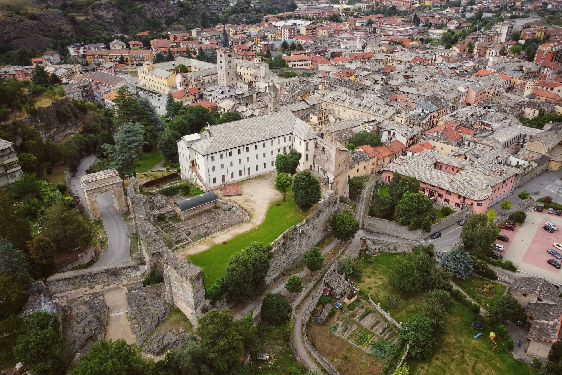
Why visit Susa
Susa sits fifty kilometers west of Torino, on the road that climbs toward the Moncenisio and Montgenèvre passes into France. Ligurians and Celts settled the site around 500 BC.
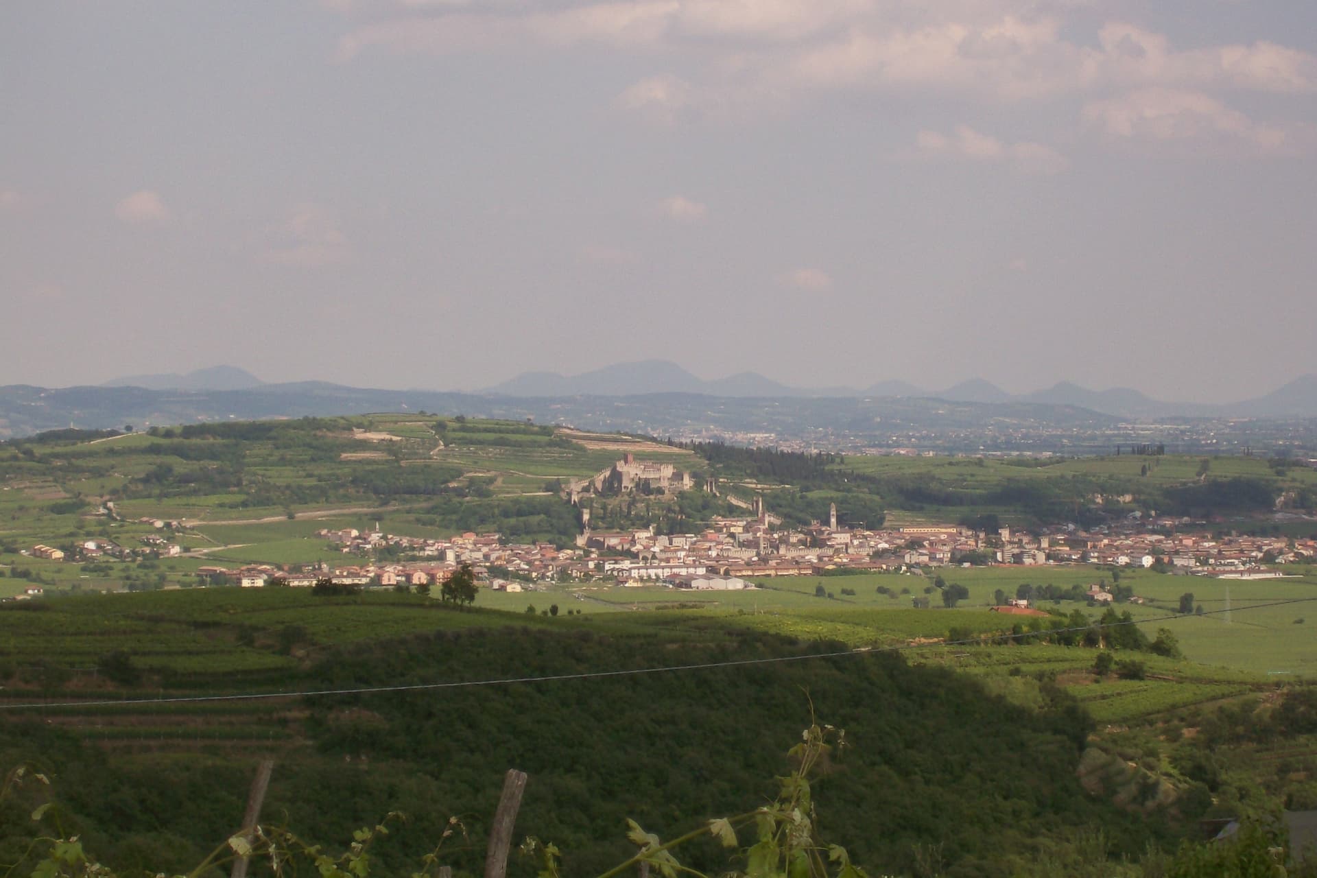
It later emerged as the capital of the kingdom of the Cozii under Marcus Julius Cottius, son of King Donnus, who allied with Rome and was confirmed as prefect of the new province of Alpes Cottiae, with Segusio, modern Susa, as its capital: the arch in the town center and the town's name in the Cottian Alps both descend from that alliance. The old core, arch, cathedral and castle, sits compact around the Roman gate that the castle absorbed into its later walls, with the amphitheatre just outside that line.
The pilgrim route threads through this core on its way down from the pass, meaning the town has functioned as a waypoint on the same north-south line, Roman road, medieval pilgrimage route, alpine crossing, since Ligurians and Celts first settled it. What the Cozii capital, the pilgrim stop and the mountain gateway add up to is a single fact repeated across the centuries the arch and the campanile have stood: Susa exists because of the road, not beside it.
5,840 people, and Turin is 53 min away by car, with a station in town. Nine of the ten everyday services we look for, from a grocer to a pharmacy, are on the map within 500 meters of the center.
What to see in Susa
- Arco di Augusto. White marble arch over 13 meters tall, standing in the center of town and counted among the best preserved of its kind in north Italy.
- Cattedrale di San Giusto. Founded by Olderico Manfredi, with the terracotta spires added in the 1480s. The campanile remains the tallest feature of the skyline.
- Castello della Contessa Adelaide. Built into a Roman gate on the line of the old walls, later reworked into a noble residence with medieval towers and Renaissance windows. It stands beside the cathedral.
How to get to Susa
It has its own railway station. Turin is about 53 min away by road. The full route from Turin.
Our tip
April through June is the green window in the Susa valley: the Cottian Alps with snow still on the upper slopes, mild evenings at 503 meters, and the Roman monuments lit clearly in the long light. July and August are warm but cooler than the Po plain; the Arch and the Cattedrale draw most of the year's visitors and the festival program runs through summer. September and October are the second peak, with crisp air and the chestnut woods turning above the town.
9. Amelia
Best for a day out from Terni. It is 35 min by car.
35 min from Terni · homes €800 to €1,300 a m² in the center · 11,474 people
Written about. No. 75. Read the letter →
Why visit Amelia
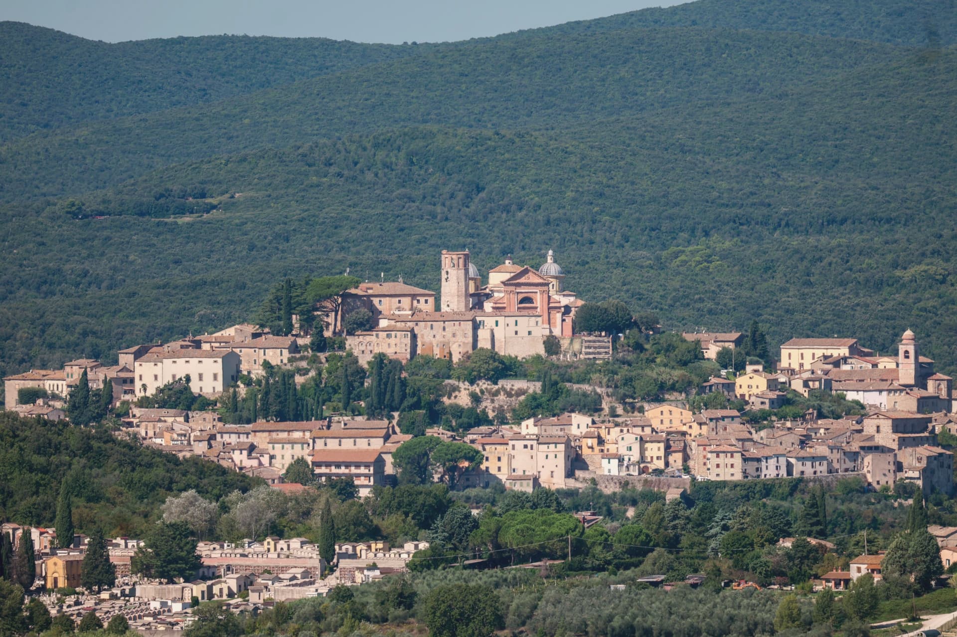
Amelia sits on a hill between the Tiber and the Nera, sixty kilometers south of Perugia and close to the Lazio border. The walls that ring the town predate the Roman conquest, and when Amelia later became a Roman municipium, the town built outward and downward at once: terraces and roads above ground, and below the main square, a system of parallel cisterns cut to hold the settlement's water.
The gate on the old Via Amerina still marks the approach from outside, its current travertine form the result of sixteenth-century rework. Just beyond it, a bronze cuirassed general over two meters tall lay buried until 1963, when it surfaced and was moved into the town's archaeological museum.
The cathedral at the upper end of the centro storico carries its own layer of history, re-dedicated in the ninth century under a pope, and stands apart from the defensive and civic works that dominate the rest of the town's fabric. Amelia joined the Cittaslow network in 2004, and each summer the chamber-music festival founded in 1968 turns the town's attention outward to a different country's repertoire.
The town's layers sit on top of each other rather than beside each other: pre-Roman defense, Roman engineering, medieval faith, and a modern festival calendar all occupying the same small hill in sequence.
11,474 people, and Terni is 35 min away by car. Nine of the ten everyday services we look for, from a grocer to a pharmacy, are on the map within 500 meters of the center.
What to see in Amelia
- Mura poligonali. Up to 6 meters high in places, the blocks fitted without mortar along the line that still defines the edge of the old town.
- Cisterne romane. The chambers measure 57.5 by 19.6 meters and sit directly beneath the paving of Piazza Matteotti, invisible from the square above.
- Duomo di Santa Firmina. Cathedral re-dedicated to Saint Firmina around 872 under Pope Adrian II, at the upper end of the centro storico.
How to get to Amelia
Terni is about 35 min away by road.
✷ We have written about Amelia
“It is one of the best-preserved ancient towns in the area, ringed by massive pre-Roman walls built from huge fitted stones, with Roman cisterns under its main square. It takes an hour to walk around the historic center, perfect for stretching your legs. Amelia is one of the stops on our Umbrian Circle road trip.”
Read our piece on Amelia →The Umbrian Circle | Town Tasting in a Day
Our tip
April through June and September into October are the working months: dry air, light on the polygonal walls, evenings on the Cittaslow corso. July and August reach the mid-thirties; at 406 meters the centro storico breathes better than the Terni basin but afternoons still empty. The cisterns under Piazza Matteotti, opened on guided tours, stay at a constant cool.
10. Borgo Valsugana
Best for a walk through the old town. It is on the list of Italy's most beautiful villages.
49 min from Trento · homes €1,500 to €1,900 a m² in the center · 7,147 people
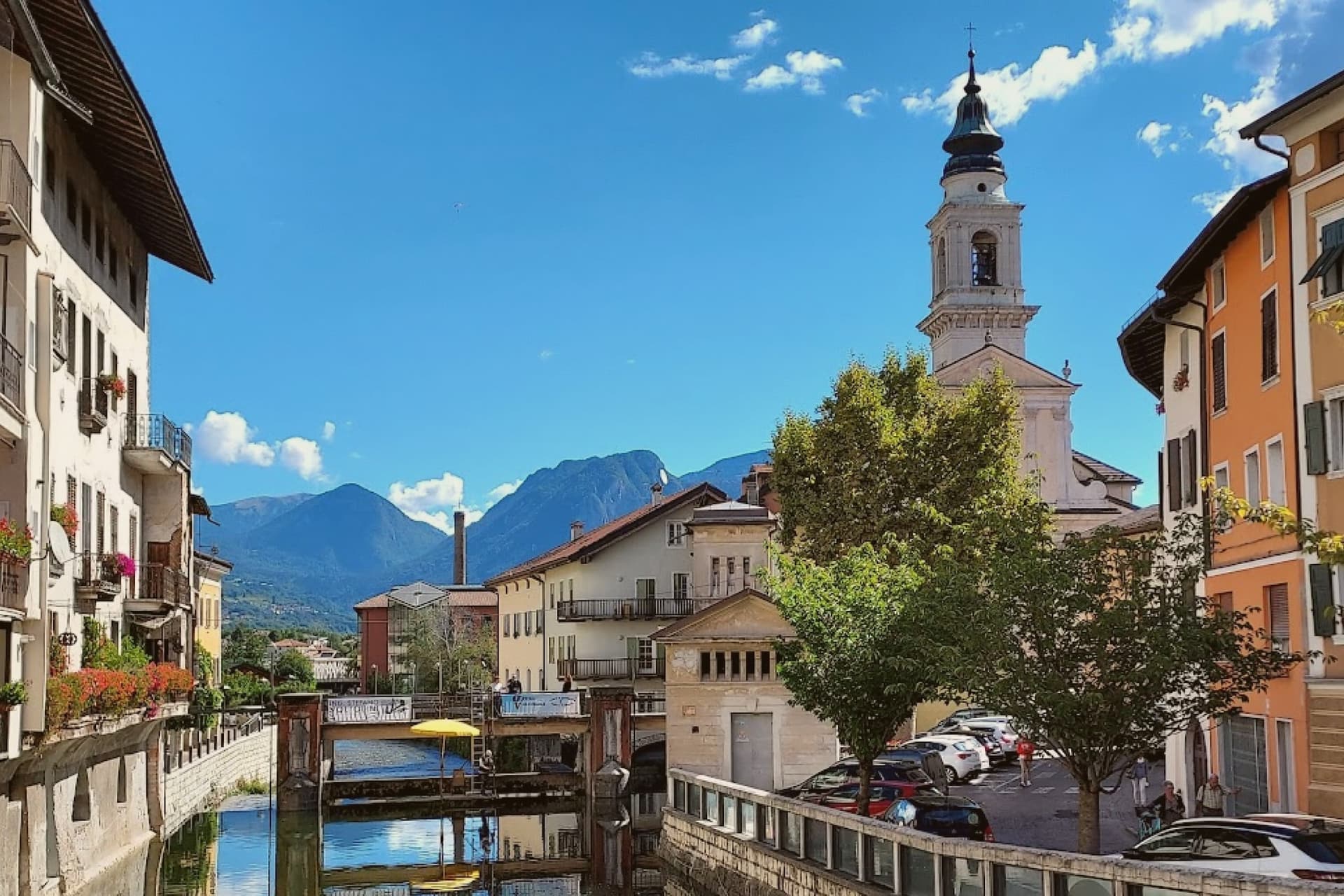
Why visit Borgo Valsugana
Borgo Valsugana sits at 380 meters on the Brenta, thirty kilometers east of Trento, in the lower part of the Valsugana valley that carries the road and the railway between Trento and the Veneto plain. The Roman settlement of Ausugum stood on the same site, on the Claudia Augusta Altinate road from Altino to Tridentum, which set the town on a route between the plain and the mountains long before the present center took shape.
The centro storico straddles the Brenta, arcades opening onto the quays on each bank, which is why locals and visitor guides call it the Little Venice of Trentino. The castle above the town looks down on this river center, and the side valley to the west holds the art project among the meadows, so the town reads in three layers: the water level where the old houses face each other across the river, the height of the watchtower on the hill, and the separate, quieter valley given over to the works in natural materials.
The valley was the front line in 1915 to 1916 and much of the historic center was rebuilt after the war, so the painted facades standing over the water today are largely a twentieth-century reconstruction of a much older river town.
7,147 people, and Trento is 49 min away by car, with a station in town. Eight of the ten everyday services we look for, from a grocer to a pharmacy, are on the map within 500 meters of the center.
What to see in Borgo Valsugana
- Castel Telvana. Medieval castle on Mount Ciolino above the town, built around a square watchtower five meters per side and twenty-six meters high.
- Ponte Veneziano. Fifteenth-century bridge over the Brenta crowned by two aedicules with graffiti inspired by seventeenth-century works of Jacopo Fiorentini.
- Arte Sella. Open-air contemporary art project in the Val di Sella since 1986, with works in natural materials around Malga Costa, including the Cattedrale Vegetale.
How to get to Borgo Valsugana
It has its own railway station. Trento is about 49 min away by road. The full route from Verona.
Our tip
April through June brings mild weather along the Brenta, the Val di Sella in full green and Arte Sella at its most photogenic between bud and full leaf. September and October are the dry months, with the Tognola peaks above the valley starting to color and the river running clear after the summer rains. July and August can hit thirty-three degrees at 380 meters, with the quays in shadow by late afternoon and Arte Sella busy with visitors.
If you only pick one
Which town is yours
One town for each kind of trip, and the reason in a line.
Without a car
Anguillara Sabazia
The train stops in the commune, so you can arrive and leave without a car.
For everyday life on foot
Arenzano
All ten everyday services we look for, from a grocer to a pharmacy, are on the map within 500 meters of the center.
For a short trip
Amelia
33 min by car from Terni, the shortest drive from a city on this list.
For a small town
Levanto
5,050 people, the smallest town on this list.
Read a sample letter
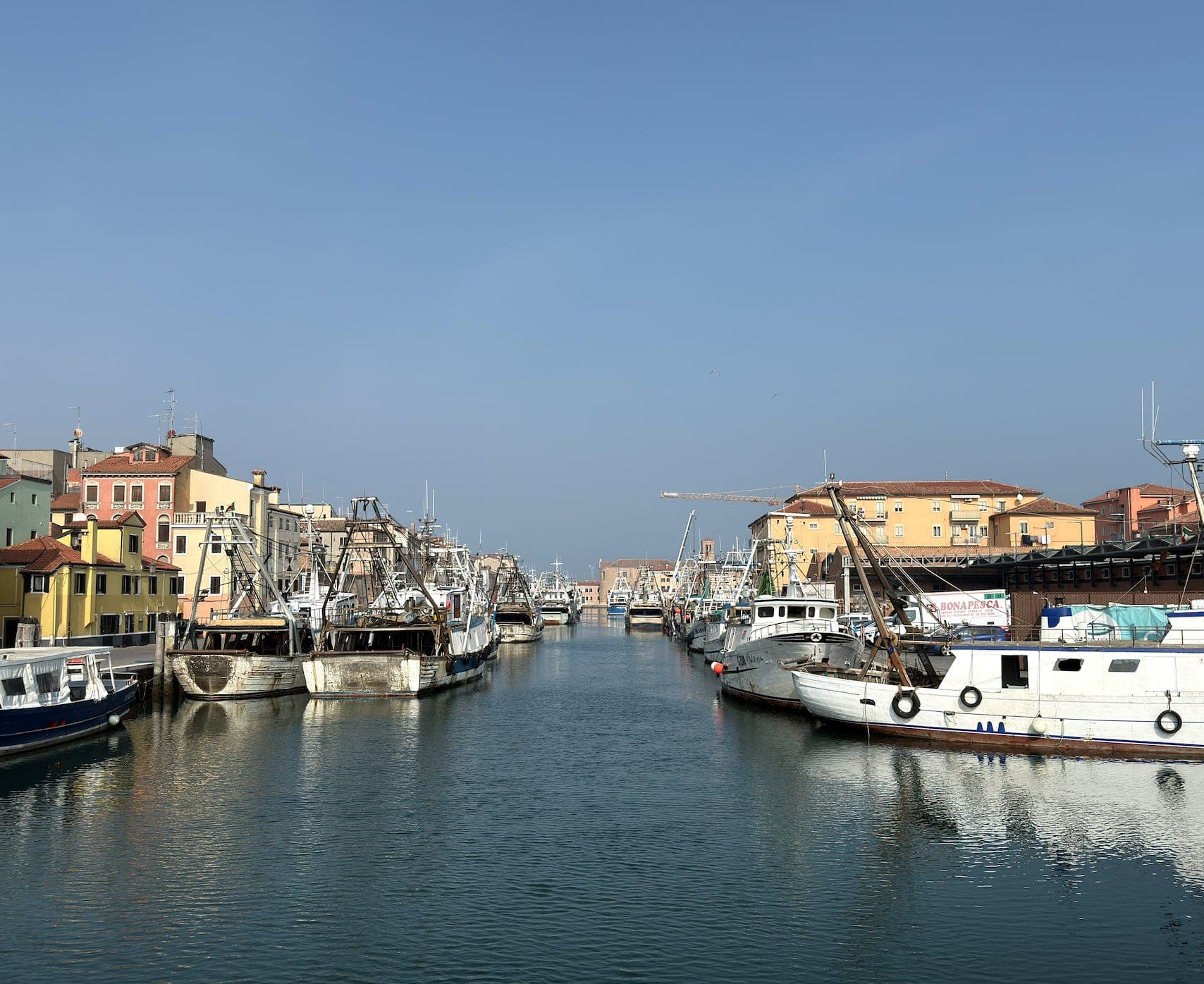
Chioggia | Everyone is wrong about this town
It’s not an alternative to Venice
Letters from the towns we visit. Free.
More from Anywhere Italy
- 10 small towns in Italy where everyday life is a walkLiguriaeveryday life on foot5,000 to 20,000 people10 towns · smallest 5,050 residents
- The safest places to live in Italy: 10 small towns in the lowest-crime provincesCalabrialowest-crime provinces5,000 to 20,000 people10 towns · smallest 6,302 residents
- The 7 best lake towns in LazioLaziolake7 towns · smallest 1,650 residents
- The 9 best towns you can get around without steps in LiguriaLiguriastep-free9 towns · smallest 4,882 residents