

Molise · Isernia
Pizzone
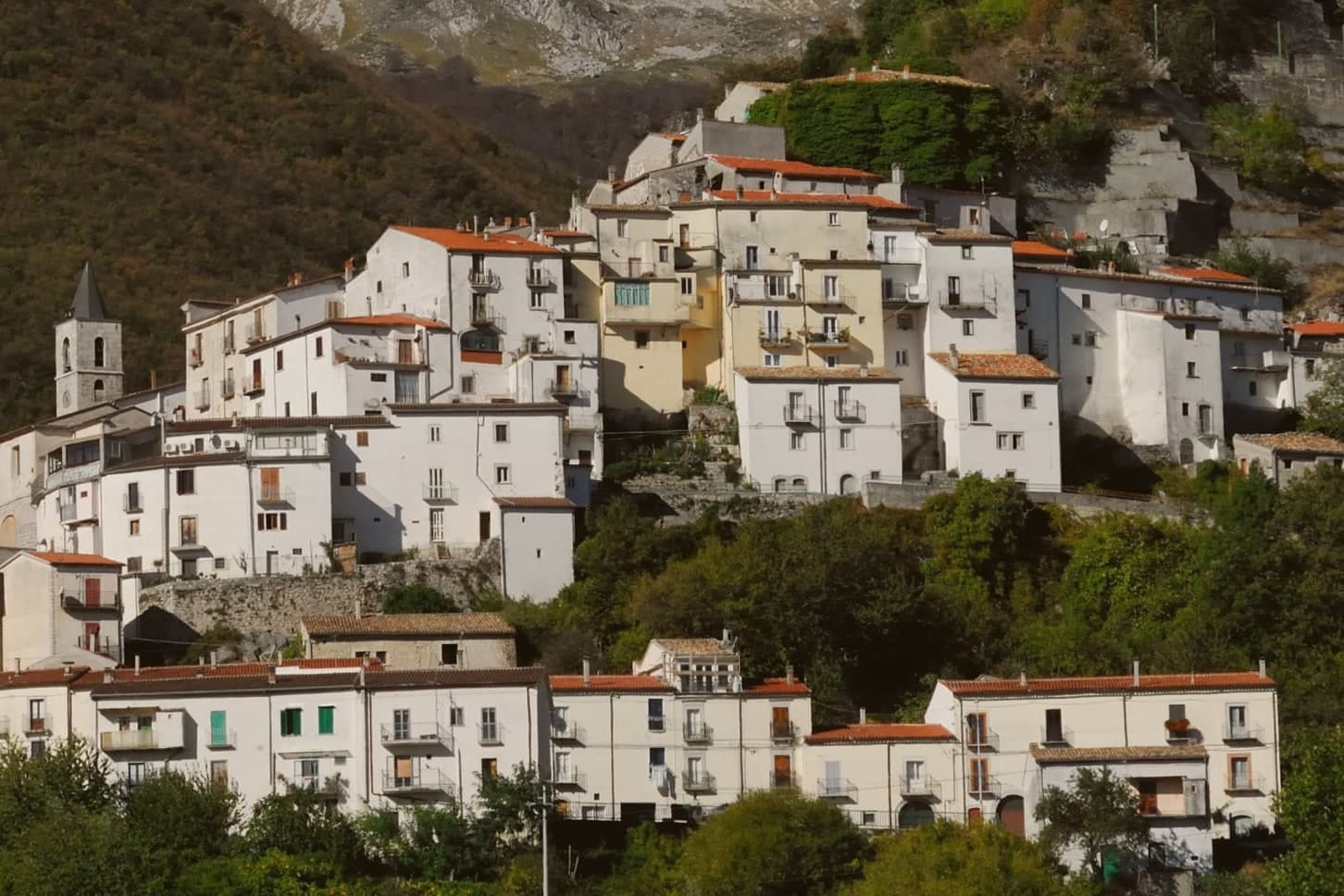
A 313-person Mainarde village at 724 meters, above the Volturno springs.
- Best time
- May–Oct
- By car
- 1 h 55 min from Naples
- Population
- 313
Known for
PARK SECTOR
Pizzone ceded four thousand hectares to the Parco Nazionale d'Abruzzo, Lazio e Molise in 1990 to create the Mainarde sector.
MAINARDE
Limestone range on the Abruzzo-Molise border, the geographic anchor of the village and the highest country in this corner of Molise.
PIANORO DELLE FORME
Karst plateau on the commune's territory, a signature high meadow of the southern Apennines used for summer pasture.
When to visit
Best · May–Oct
- J9°
- F11°
- M12°
- A15°
- M19°
- J25°
- J28°
- A28°
- S23°
- O18°
- N13°
- D10°
- Best
- Hot or crowded
- Quiet
- Mostly closed
Daytime averages, 2020–2024. Weather data by Open-Meteo.com.
Why come
Pizzone sits at 724 meters on the eastern flank of the range that closes the northern edge of Molise against the Abruzzo border. In 1990 the commune ceded part of its territory to the national park, together with Castel San Vincenzo, Rocchetta a Volturno, Filignano and Scapoli, adding high pasture and beech forest to what became the Mainarde sector. The karst plateau on Pizzone's own territory is one of the signature high meadows of the southern Apennines.
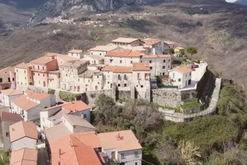
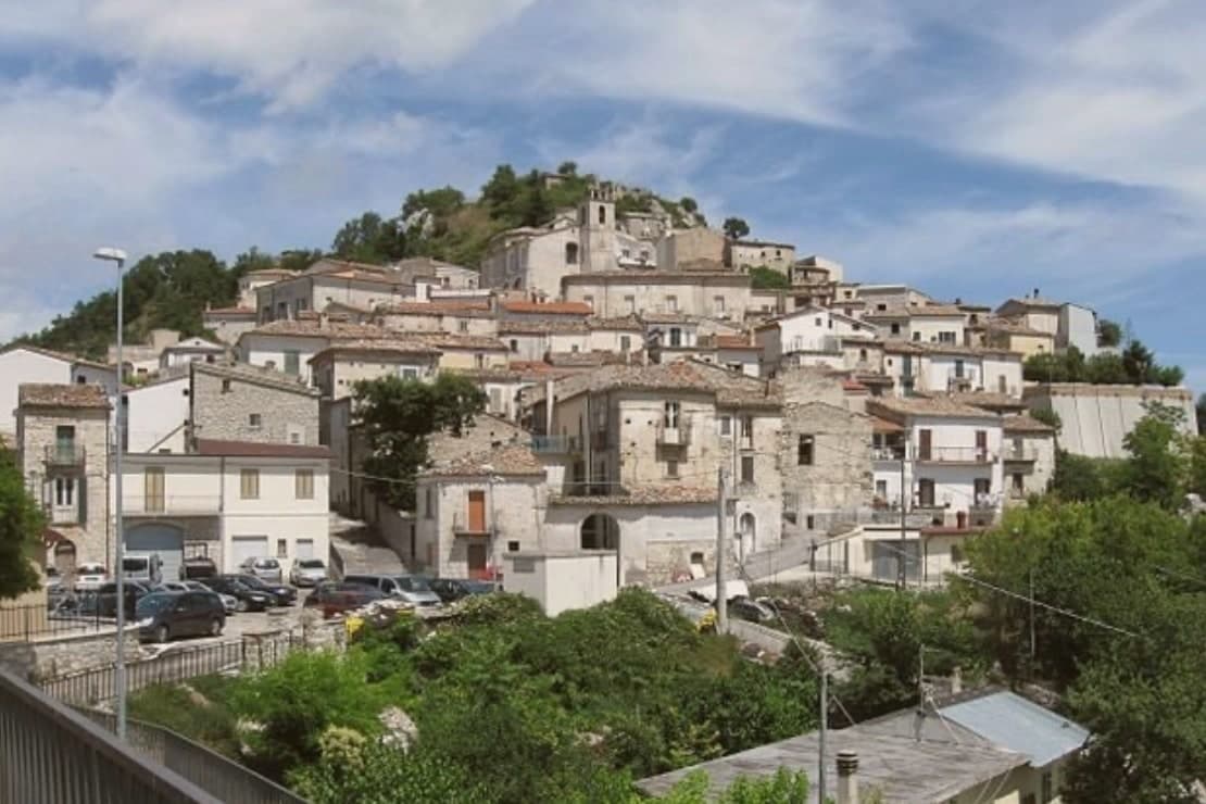
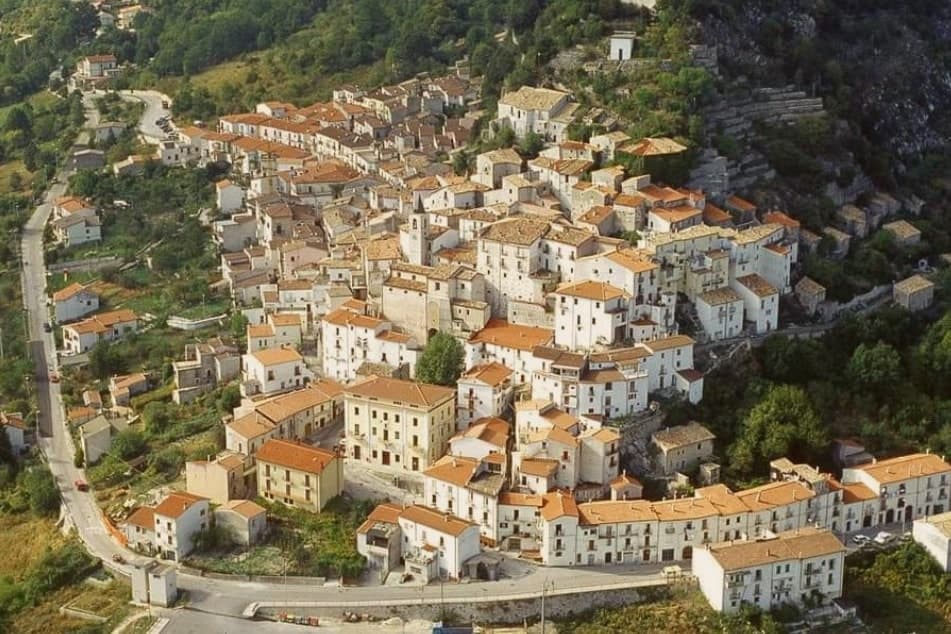
The Volturno springs at the foot of the range and the Rio Jemmare that crosses Pizzone feed the lake just below the village. The village itself is small, stone houses set on a ridge under the peaks, with the church at its centre. A few kilometers north stands the abbey of San Vincenzo al Volturno. Pizzone reads as a mountain edge settlement: its territory gave ground to the park and kept the high meadow, while the water descending from its slopes shapes the lake and the abbey site below.
The Sunday letter
Pizzone is on our list. Its letter is still to come.
We are writing about all 1,000 of these towns, one at a time, in a free letter every Sunday: the photo, the food, the festa. That is our mission. Sign up and you will be there when Pizzone comes up. By Peter & Sophia, from Pietrasanta.
Read on
Pizzone in our articles
 The best small towns inside a national park in Molise6 towns, Pizzone among them.
 The best mountain towns in the province of Isernia7 towns, Pizzone among them.
 The best towns inside a national park in the province of Isernia7 towns, Pizzone among them.
 Italy's smallest comuni60 towns, Pizzone among them.
How to get there
From Naples / Salerno (NAP), about 1h 51m by car.
Rome (FCO) is about 3h 10m away.
By car from the centre of Naples 2 hours, Salerno 2h 20m or Pescara 2h 27m.
What to see
Mainarde
Limestone mountain range on the Abruzzo-Molise border, the Molise sector of the Parco Nazionale d'Abruzzo, Lazio e Molise.
Pianoro delle Forme
Karst high meadow on Pizzone's territory, one of the signature plateaus of the southern Apennines and a summer pasture for grazing flocks.
Lago di Castel San Vincenzo
Turquoise artificial lake at the foot of the range, four kilometers downhill from the village.
Chiesa di San Marco Evangelista
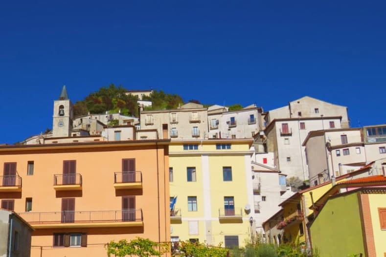
Stone façade and bell tower on the ridge, the parish that anchors daily life for the village's residents.
The slow-trip planner
Building a trip? Find where Pizzone fits in a slow Italy circuit.
Answer five questions. We will shape a geographically coherent slow trip from the 1,000 Italian towns most travelers skip. Yours to save and share.
Living here
- Population 313
- Remotei
- Pharmacy: none mapped
- Nearest high school over ~30 minutes away
- Nearest airport Naples / Salerno, 1 h 51 min drive
- Regional capital Campobasso, 1 h 31 min drive
Common questions
- What is Pizzone known for?
- Pizzone is a 313-person Mainarde village at 724 meters, above the Volturno springs.
- Where is Pizzone?
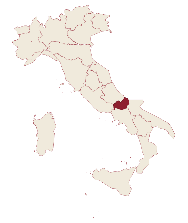
- Pizzone is a comune in the province of Isernia, in Molise.
- What is the nearest airport to Pizzone?
- Naples / Salerno (NAP), about 1h 51m by car.
- How long is the drive from Naples to Pizzone?
- About 2 hours by car.
- When is the best time to visit Pizzone?
- Best in May–Oct. July is the warmest month, averaging 28 degrees, and May the wettest, with about 16 rain days.
- Which other towns are like Pizzone?
- Castel San Vincenzo, Celle di San Vito and Faeto.
- How many people live in Pizzone?
- 313 at the 2023 count.
Tags & datadesignations · numbers · sources
Recognised as
The numbers
- Elevation: 724 m
- Population: 313
- Surface area: 33.49 km²
These figures were compiled from public directories: ISTAT, OpenStreetMap and Wikidata, and from the official listings of the guides named on this page. Town details change; verify with official sources before you travel.
Similar
Towns like Pizzone
Castel San Vincenzo
Province: Isernia
both mountain-valley towns · both under 1,000 people
Celle di San Vito
Province: Foggia
both mountain-valley towns · both under 1,000 people
Faeto
Province: Foggia
both mountain-valley towns · both under 1,000 people
Roseto Valfortore
Province: Foggia
both mountain-valley towns · both under 1,000 people
Letino
Province: Caserta
both mountain-valley towns · both under 1,000 people
Triora
Province: Imperia
both mountain-valley towns · both under 1,000 people
💎 Borghi Autentici
More Borghi Autentici towns in Molise
Capracotta
Province: Isernia
At 1,421 meters the second-highest commune in central Italy, holder of the world record for snowfall in 24 hours: 2.56 meters on 5 March 2015.
Castel del Giudice
Province: Isernia
An Alto Molise borgo of 308 residents at 800m that rebuilt an abandoned schoolhouse as a diffuse hotel and recovered 5,000 ancient apple trees into an organic-orchard cooperative.
Macchiagodena
Province: Isernia
Molise's white truffle capital: a 1,648-resident hilltop borgo at 868m in the Apennine middle Molise, with intact medieval streets and 30+ active truffle hunters working the surrounding oak forests, the Molise white truffle harvest running October-December.
Pescopennataro
Province: Isernia
An Alto Molise stone village at 1,190 meters, the paese della pietra e degli abeti, above a rare high-altitude white-fir forest.
Ripalimosani
Province: Campobasso
A sandstone-ridge village at 640 meters above the Biferno valley, the historic land of the funai rope makers and a Tintilia wine commune.