
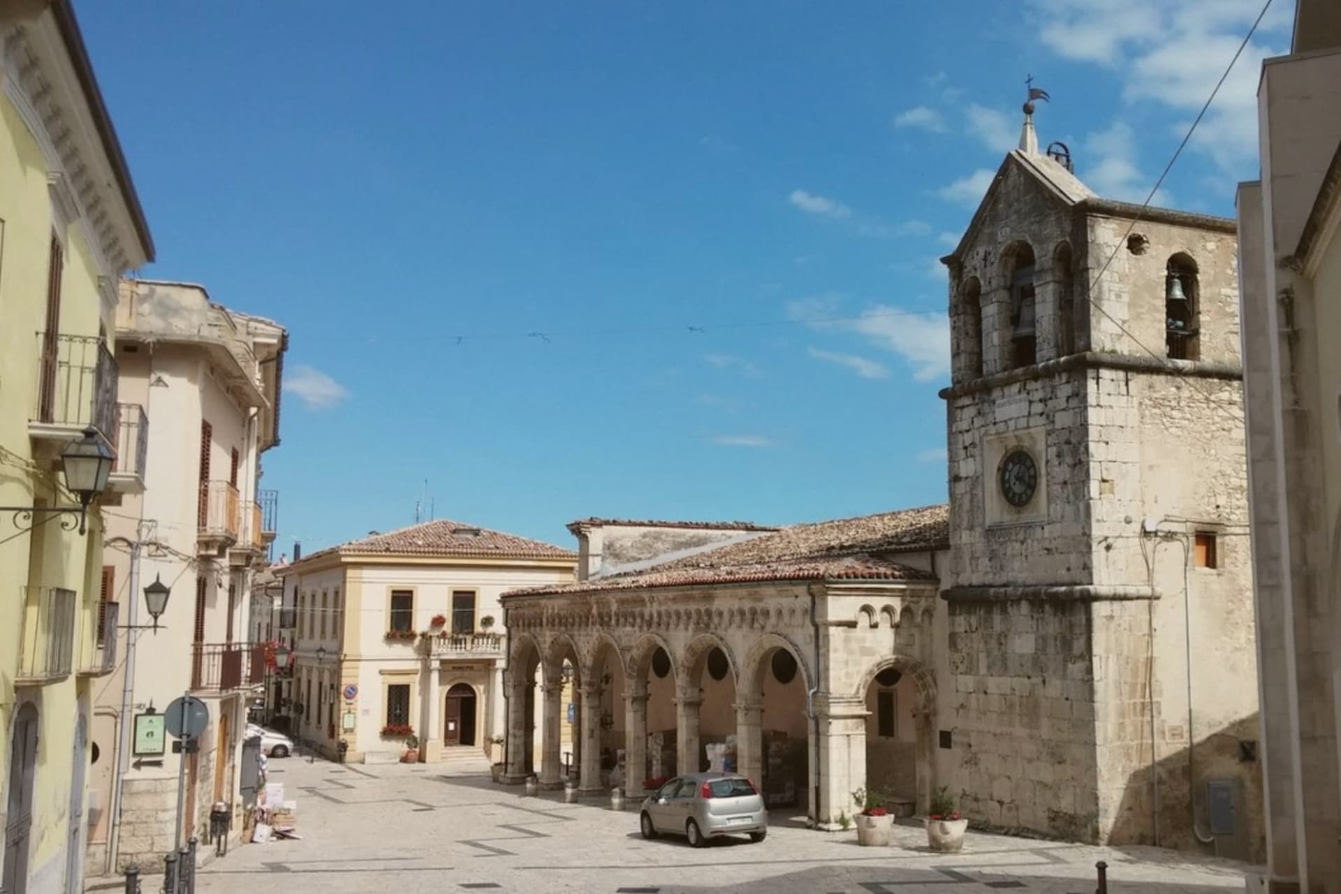

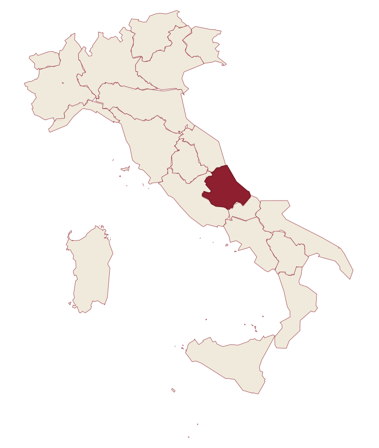
Abruzzo · Chieti
Lama dei Peligni
A 669-meter Majella village known for chamois, the Cavallone cave, and a prehistoric burial dug from Fonterossi dated 7000 to 5000 BC.
- Best time
- May–Oct
- By car
- 1 h 17 min from Pescara
- Population
- 1,057
Known for
GROTTA DEL CAVALLONE
Europe's highest accessible natural cave at 1,475 meters, 1,300 meters of karst gallery branching into three tunnels.
ABRUZZO CHAMOIS
Locati museum and fenced reserve, the centre of the chamois reintroduction program for the Majella National Park.
UOMO DELLA MAIELLA
Prehistoric burial from Fonterossi dated 7000 to 5000 BC, the oldest documented human presence on the massif.
When to visit
Best · May–Oct
- J9°
- F11°
- M11°
- A14°
- M19°
- J24°
- J28°
- A27°
- S23°
- O19°
- N14°
- D11°
- Best
- Hot or crowded
- Quiet
- Mostly closed
Daytime averages, 2020–2024. Weather data by Open-Meteo.com.
The festa: San Sebastiano, 20 January
Why come
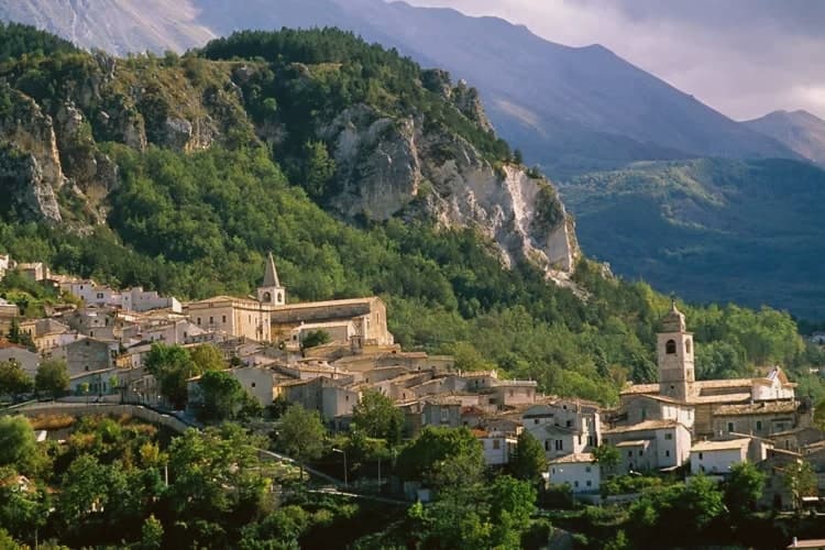
Lama dei Peligni sits at 669 meters on the southern flanks of the Majella, between the Aventino river and the massif behind it. The name comes from a pre-Latin word for ground where water pools. The earliest evidence of human use here, the so-called Uomo della Maiella, was excavated from Contrada Fonterossi at the start of the twentieth century, a burial dated between 7000 and 5000 BC.
The Grotta del Cavallone opens at 1,475 meters in the wall above town, the highest accessible natural cave in Europe, 1,300 meters of karstic gallery branching into three secondary tunnels. The Maurizio Locati museum at the entrance to the village runs a fenced reserve for the Abruzzo chamois, the species the zoologist worked to reintroduce in the Majella park. The Maiella Brigade fought partisan actions out of these slopes in 1943-44, and the obelisk at San Pietro commemorates them.
The Sunday letter
Lama dei Peligni is on our list. Its letter is still to come.
We are writing about all 1,000 of these towns, one at a time, in a free letter every Sunday: the photo, the food, the festa. That is our mission. Sign up and you will be there when Lama dei Peligni comes up. By Peter & Sophia, from Pietrasanta.
Read on
Lama dei Peligni in our articles
 10 towns at their best exactly when Venice is at its worst10 towns, Lama dei Peligni among them.
 10 towns where August is actually fine10 towns, Lama dei Peligni among them.
 The best mountain towns inside a national park within 90 minutes of Pescara10 towns, Lama dei Peligni among them.
 Every town in our catalogue inside a national park151 towns, Lama dei Peligni among them.
How to get there
From Naples / Salerno (NAP), about 2h 43m by car.
Ancona / Pescara (AOI) is about 3 hours away.
By car from the centre of Pescara 1h 17m, Rome 2h 42m or Naples 2h 47m.
Coming by train into Pescara Centrale? Lama dei Peligni is about 1h 18m away by road.
What to see
Grotta del Cavallone
Karst cave at 1,475 meters, 1,300 meters of gallery on the border with Taranta Peligna, the highest accessible natural cave in Europe.
Museo Naturalistico Maurizio Locati
Wildlife and archaeology museum at the village entrance, dedicated to the zoologist who reintroduced chamois in the Majella park.
Giardino Botanico Michele Tenore
Botanical garden adjacent to the museum, reconstructing Majella flora alongside a Neolithic village display and chamois enclosure.
Sito di Fonterossi
Excavation area where the so-called Uomo della Maiella, a prehistoric burial dated 7000 to 5000 BC, was discovered.
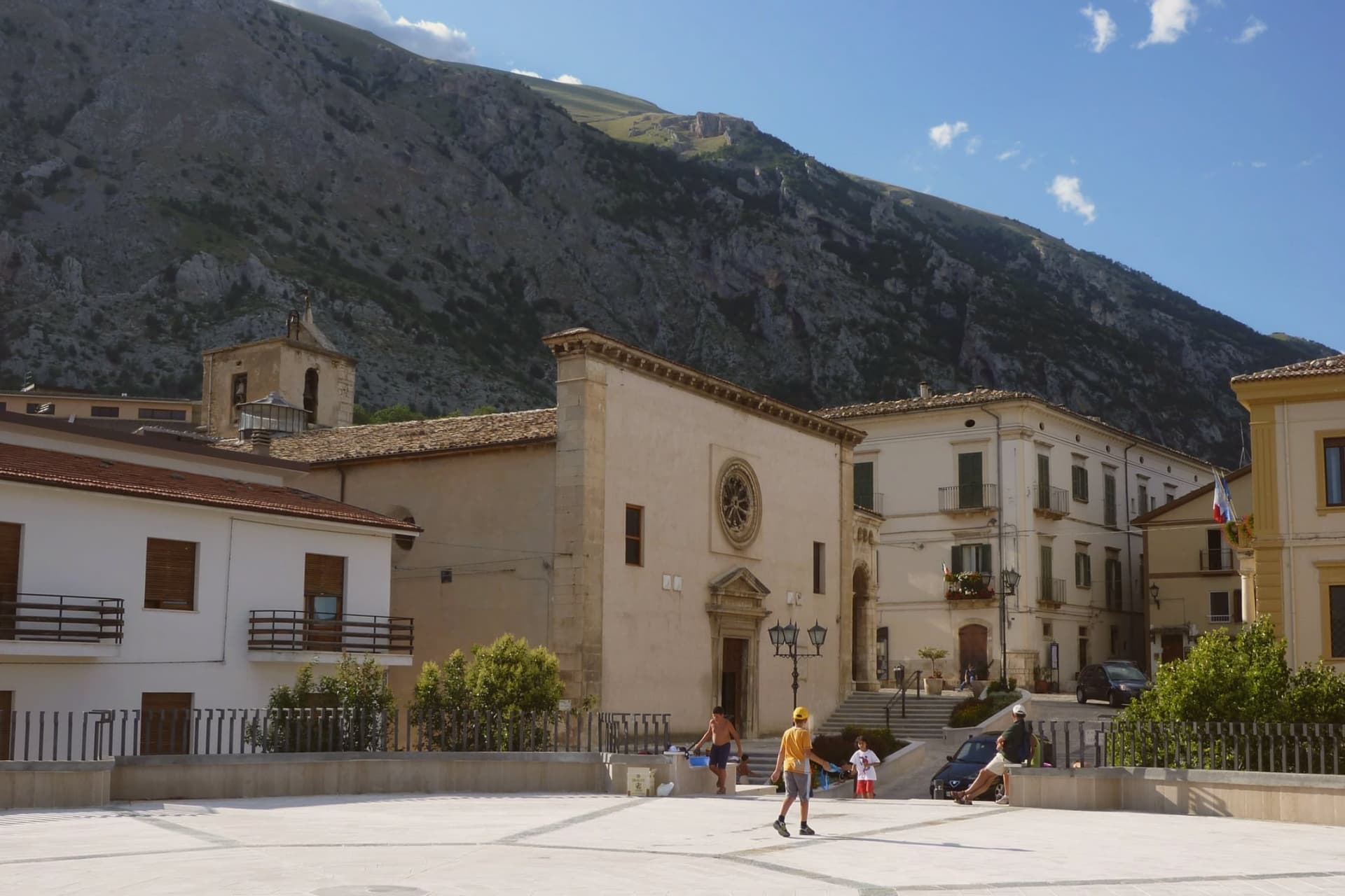
Chiesa di San Nicola
Parish church on the small piazza, with the war memorial obelisk to Maiella Brigade partisans nearby.
The slow-trip planner
Building a trip? Find where Lama dei Peligni fits in a slow Italy circuit.
Answer five questions. We will shape a geographically coherent slow trip from the 1,000 Italian towns most travelers skip. Yours to save and share.
Living here
- Population 1,057
- Remotei
- Pharmacy: none mapped
- High school within a 30-minute drive
- Nearest airport Naples / Salerno, 2 h 43 min drive
- Regional capital L'Aquila, 2 h 7 min drive
Common questions
- What is Lama dei Peligni known for?
- Lama dei Peligni is a 669-meter Majella village known for chamois, the Cavallone cave, and a prehistoric burial dug from Fonterossi dated 7000 to 5000 BC.
- Where is Lama dei Peligni?
- Lama dei Peligni is a comune in the province of Chieti, in Abruzzo, at 669 meters above sea level.
- What is the nearest airport to Lama dei Peligni?
- Naples / Salerno (NAP), about 2h 43m by car.
- How long is the drive from Pescara to Lama dei Peligni?
- About 1h 17m by car.
- When is the best time to visit Lama dei Peligni?
- Best in May–Oct. July is the warmest month, averaging 28 degrees, and May the wettest, with about 16 rain days.
- Is there a sagra or a festival in Lama dei Peligni?
- The town keeps its patron saint's day: San Sebastiano, 20 January.
- Which other towns are like Lama dei Peligni?
- Savignano Irpino, Trentinara and Pacentro.
- How many people live in Lama dei Peligni?
- 1,057 at the 2023 count.
Tags & datadesignations · numbers · sources
The numbers
- Elevation: 669 m
- Population: 1,057
- Surface area: 31.37 km²
These figures were compiled from public directories: ISTAT, OpenStreetMap and Wikidata, and from the official listings of the guides named on this page. Town details change; verify with official sources before you travel.
Similar
Towns like Lama dei Peligni
Savignano Irpino
Province: Avellino
both mountain-valley towns · both under 3,000 people
Trentinara
Province: Salerno
both mountain-valley towns · both under 3,000 people
Pacentro
Province: L'Aquila
both mountain-valley towns · both under 3,000 people
Pettorano sul Gizio
Province: L'Aquila
both mountain-valley towns · both under 3,000 people
Introdacqua
Province: L'Aquila
both mountain-valley towns · both under 3,000 people
Gromo
Province: Bergamo
both mountain-valley towns · both under 3,000 people
🟠 Bandiera Arancione
More Bandiera Arancione towns
Fara San Martino
Province: Chieti
A pasta-making town at 440 meters, where the Verde river runs out of a two-meter slot in the Majella wall.
Scanno
Province: L'Aquila
A 1,057-meter Sagittario valley village where women in black still walk the alleys photographed by Cartier-Bresson and Giacomelli.
Aliano
Province: Matera
The clay-hill village at 555 meters above the Agri valley where Carlo Levi served his 1935 exile and is buried in the cemetery.
Castelmezzano
Province: Potenza
A medieval village wedged into sandstone teeth at 750 meters, linked to Pietrapertosa by a 1,452-meter zipline since 2007.
Guardia Perticara
Province: Potenza
The stone village at 678 meters above the Sauro valley, rebuilt block by block in Gorgoglione sandstone after the 1980 earthquake.