
Molise · Isernia
Roccamandolfi
At 850 meters at the foot of Monte Miletto, a Matese village of brigand legends, Lombard ruins, and a Tibetan bridge over the Callora canyon.
- Best time
- May–Oct
- By car
- 2 h 27 min from Naples
- Population
- 841
Known for
LOMBARD CASTLE
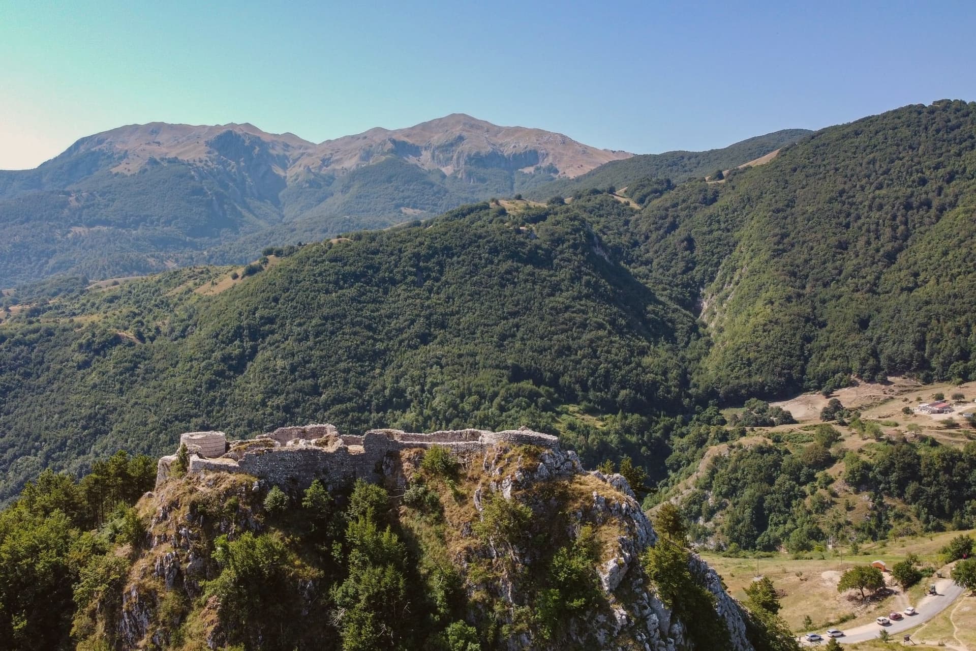
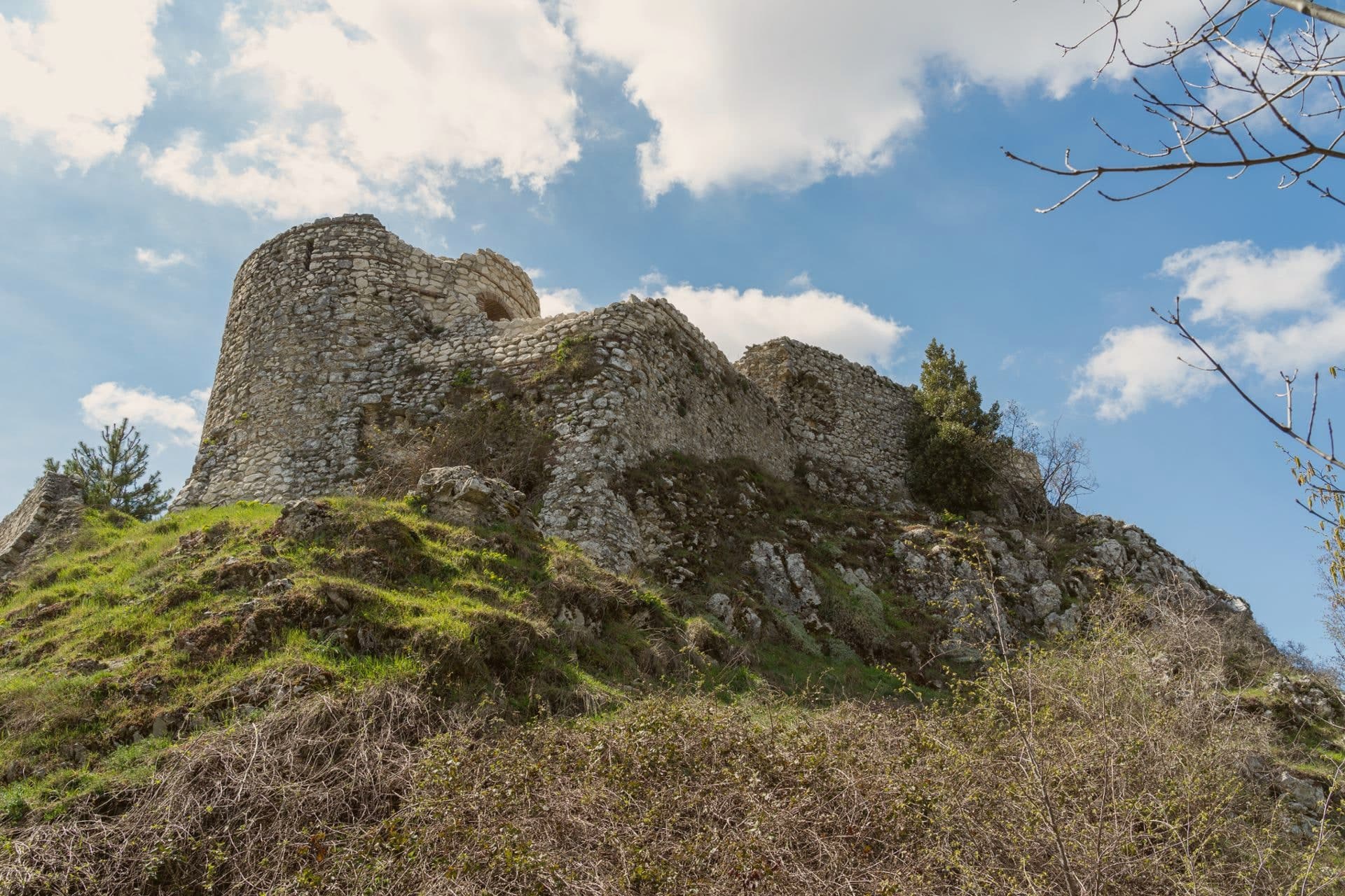
Late ninth-century Rocca named for Maginulfo, demolished by Frederick II in 1223 and still ruined on the hill above town.
TIBETAN BRIDGE
Steel suspension walk 234 meters long and 140 meters above the Callora stream, opened in 2016.
BRIGANDS
Nineteenth-century brigand country, with a documentation centre and a marked route through the village.
When to visit
Best · May–Oct
- J7°
- F9°
- M10°
- A13°
- M18°
- J24°
- J28°
- A27°
- S22°
- O17°
- N12°
- D9°
- Best
- Hot or crowded
- Quiet
- Mostly closed
Daytime averages, 2020–2024. Weather data by Open-Meteo.com.
Why come
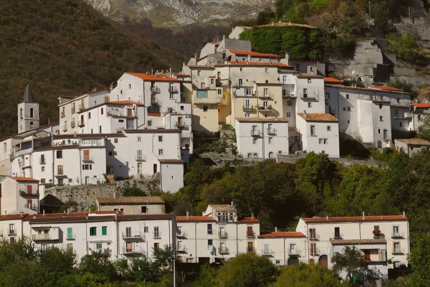
Roccamandolfi sits at 850 meters on the Molise flank of the Matese massif, the high karst range that separates the region from Campania, with Monte Miletto rising above it to the west. The Samnites held this ground before Rome. The village itself reads as two layers stacked on the slope: the ruined castle on the hill above, and the centro storico below it gathered around the parish church, with the woods beyond still marked by the paths the nineteenth-century brigands used and the village now retraces with its documentation centre and signed route.
The Callora stream cuts a canyon below the settlement, and the suspension bridge that now crosses it sits at the start of a trail running up toward the Sentiero dei Fringuelli, so the walk out of the village leads a hiker from the ruins on the hill, past the memory of the brigands in the streets, and out over the canyon toward the mountain itself. A Lombard rock, a resisted emperor, a century of outlaws in the woods, and a modern steel span: the village has kept building new reasons to climb the same slope.
The Sunday letter
Roccamandolfi is on our list. Its letter is still to come.
We are writing about all 1,000 of these towns, one at a time, in a free letter every Sunday: the photo, the food, the festa. That is our mission. Sign up and you will be there when Roccamandolfi comes up. By Peter & Sophia, from Pietrasanta.
Read on
Roccamandolfi in our articles
 The best small towns inside a national park in Molise6 towns, Roccamandolfi among them.
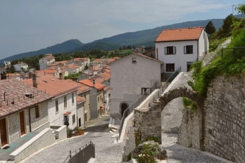 The best high-altitude villages in the province of Isernia7 towns, Roccamandolfi among them.
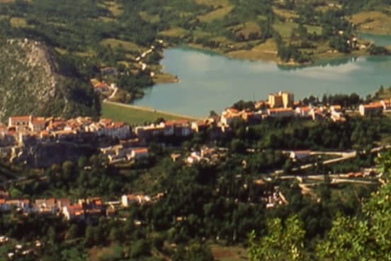 The best mountain towns in the province of Isernia7 towns, Roccamandolfi among them.
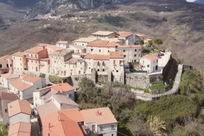 The best towns inside a national park in the province of Isernia7 towns, Roccamandolfi among them.
How to get there
From Naples / Salerno (NAP), about 2h 23m by car.
Rome (FCO) is about 3h 42m away.
By car from the centre of Naples 2h 27m, Salerno 2h 51m or Pescara 3 hours.
What to see
Castello Longobardo
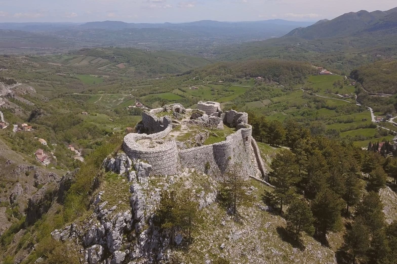
Ruined fortress on the hill above the village, demolished in 1223 by order of Frederick II after its lord defied imperial authority. The broken walls are still the first thing seen against the skyline from the houses below.
Ponte Tibetano
The suspension deck sways over open air where the Callora canyon drops away beneath it, at the start of a marked Matese trail.
Monte Miletto
Highest peak of the Matese at 2,050 meters, the western anchor of the range that frames the village.
Statua del Brigante
Bronze figure on the brigand route through the village, marking the nineteenth-century history of resistance in these woods.
Chiesa di Santa Maria Assunta
Parish church in the centro storico, the religious centre of the village below the castle.
The slow-trip planner
Building a trip? Find where Roccamandolfi fits in a slow Italy circuit.
Answer five questions. We will shape a geographically coherent slow trip from the 1,000 Italian towns most travelers skip. Yours to save and share.
Living here
- Population 841
- In-betweeni
- Pharmacy in town
- Nearest high school over ~30 minutes away
- Nearest airport Naples / Salerno, 2 h 23 min drive
- Regional capital Campobasso, 1 h 11 min drive
Common questions
- What is Roccamandolfi known for?
- At 850 meters at the foot of Monte Miletto, a Matese village of brigand legends, Lombard ruins, and a Tibetan bridge over the Callora canyon.
- Where is Roccamandolfi?
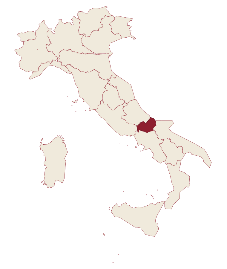
- Roccamandolfi is a comune in the province of Isernia, in Molise.
- What is the nearest airport to Roccamandolfi?
- Naples / Salerno (NAP), about 2h 23m by car.
- How long is the drive from Naples to Roccamandolfi?
- About 2h 27m by car.
- When is the best time to visit Roccamandolfi?
- Best in May–Oct. July is the warmest month, averaging 28 degrees, and May the wettest, with about 16 rain days.
- Which other towns are like Roccamandolfi?
- Civita d'Antino, Sasso di Castalda and Castel San Pietro Romano.
- How many people live in Roccamandolfi?
- 841 at the 2023 count.
Tags & datadesignations · numbers · sources
The numbers
- Elevation: 850 m
- Population: 841
- Surface area: 53.67 km²
These figures were compiled from public directories: ISTAT, OpenStreetMap and Wikidata, and from the official listings of the guides named on this page. Town details change; verify with official sources before you travel.
Similar
Towns like Roccamandolfi
Civita d'Antino
Province: L'Aquila
both mountain-valley towns · both under 1,000 people
Sasso di Castalda
Province: Potenza
both mountain-valley towns · both under 1,000 people
Castel San Pietro Romano
Province: Roma
both mountain-valley towns · both under 1,000 people
Rocca di Botte
Province: L'Aquila
both mountain-valley towns · both under 1,000 people
Arquata del Tronto
Province: Ascoli Piceno
both mountain-valley towns · both under 1,000 people
Castelmezzano
Province: Potenza
both mountain-valley towns · both under 1,000 people
🟠 Bandiera Arancione
More Bandiera Arancione towns in Molise
Agnone
Province: Isernia
At 840 meters, town of the pontifical bell foundry and the fire procession that lights its streets every Christmas Eve.
Ferrazzano
Province: Campobasso
A hilltop borgo at 872 meters above Campobasso, called the Sentinel of Molise, where Robert De Niro's great-grandparents lived before sailing in 1887.
Frosolone
Province: Isernia
A 900-meter blade-making town in the Matese foothills, called Italy's Toledo for the knives and scissors forged here since the 1800s.
Scapoli
Province: Isernia
Italy's zampogna bagpipe capital: a 586-resident borgo in the Mainarde at 668m, with a centuries-old tradition of hand-building the zampogna and the Bandiera Arancione plus national park signals.