
Apulia · Foggia
Rodi Garganico
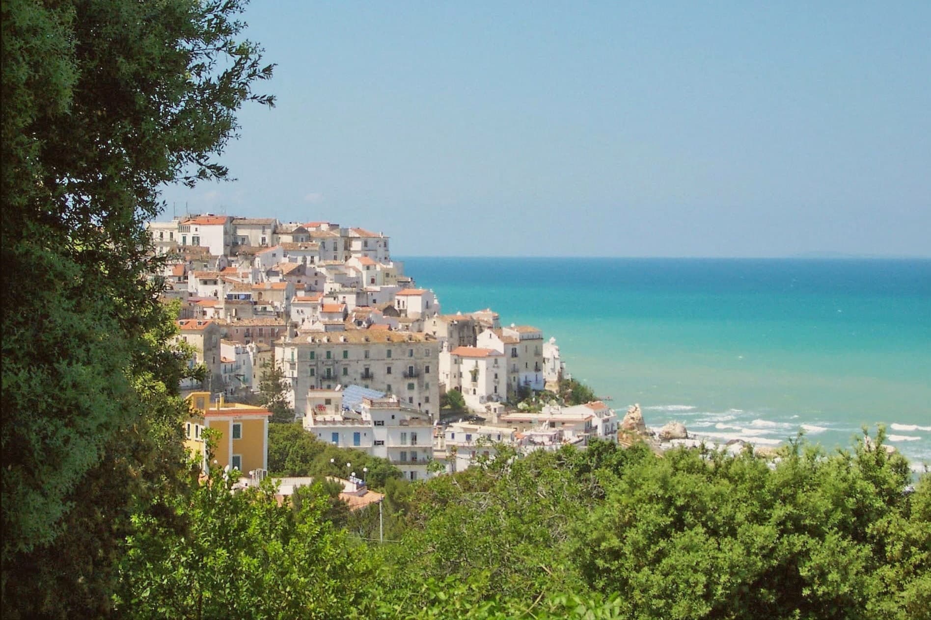
A Gargano promontory town above the Adriatic, citrus capital of the peninsula, with DOP oranges and lemons grown on the terraces below it.
- Best time
- May–Sep
- By car
- 2 h 24 min from Pescara
- By train
- Station in the comune
- Population
- 3,302
Known for
DOP CITRUS
Arancia del Gargano and Limone Femminello del Gargano, both DOP, both cultivated continuously on the terraces below the town since the Middle Ages.
MADONNA DELLA LIBERA
Sanctuary icon said to have arrived with Venetian refugees fleeing Constantinople in 1453, venerated for over five centuries.
GARGANO COAST
Promontory above two long sand beaches running west to Foce Varano and east to San Menaio, Bandiera Blu and inside the national park.
When to visit
Best · May–Sep
- J13°
- F14°
- M15°
- A17°
- M22°
- J27°
- J30°
- A30°
- S26°
- O22°
- N17°
- D14°
- Best
- Hot or crowded
- Quiet
- Mostly closed
Daytime averages, 2020–2024. The sea is warmest in August at 30° and coldest in February at 12°. Weather data by Open-Meteo.com.
Why come
The town sits on a rocky promontory on the northern slope of the Gargano peninsula, inside the national park and east of the Lago di Varano. The early-nineteenth-century historian Michelangelo Manicone connected the founding to the Daunian people; a competing tradition has Greek colonists from Rhodes, the source of the modern name. Between those two accounts sits a town that reads as both inland hill settlement and coastal outpost, the centro storico climbing the cliff while the terraces drop below it toward the water.
The terraced slopes beneath the old town hold the groves that give the place its identity: the Arancia del Gargano and the Limone Femminello del Gargano, both DOP, both grown here since the Middle Ages, the lemon prized for its smooth thin peel and intense aroma. The Chiesa di San Nicola di Mira keeps a Greek-Byzantine bell tower, a physical remainder of the Gargano's eastern liturgical ties, the same ties that surface in the story of the Madonna della Libera icon, said to have crossed the Adriatic with Venetian refugees after the fall of Constantinople. Long beaches run west and east of the town. The result is a promontory settlement where citrus terrace, Byzantine trace, and coastline sit within a short walk of one another, each pointing to a different arrival: Daunian or Greek, agricultural, or seaborne and devotional.
The Sunday letter
Rodi Garganico is on our list. Its letter is still to come.
We are writing about all 1,000 of these towns, one at a time, in a free letter every Sunday: the photo, the food, the festa. That is our mission. Sign up and you will be there when Rodi Garganico comes up. By Peter & Sophia, from Pietrasanta.
Read on
Rodi Garganico in our articles
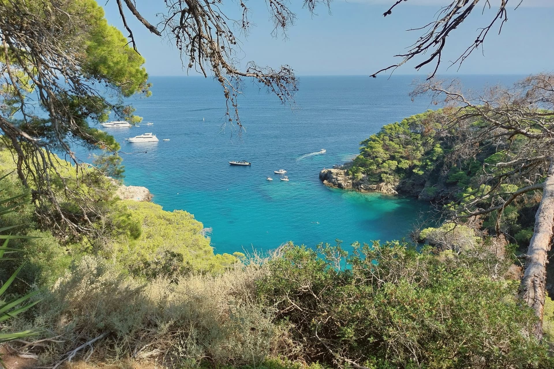
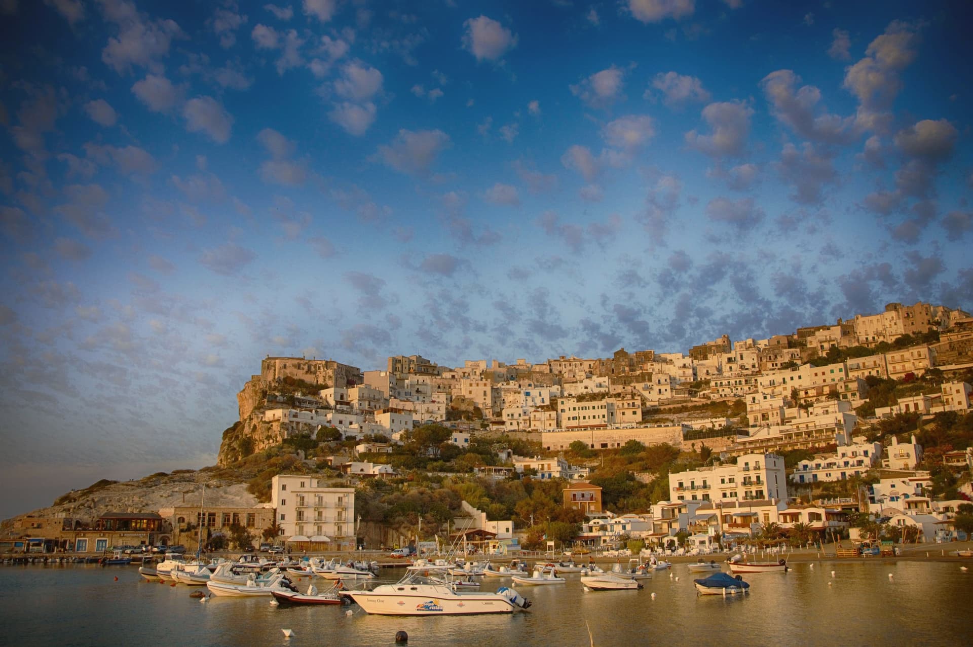 The best hidden beach towns in Puglia6 towns, Rodi Garganico among them.
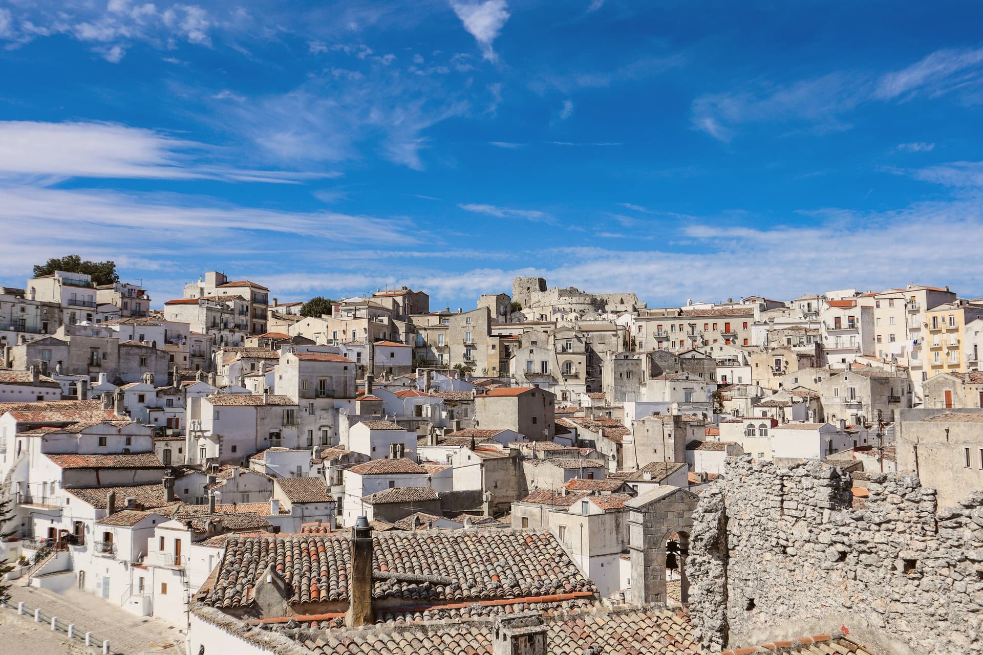
 The best towns inside a national park in the province of Foggia8 towns, Rodi Garganico among them.
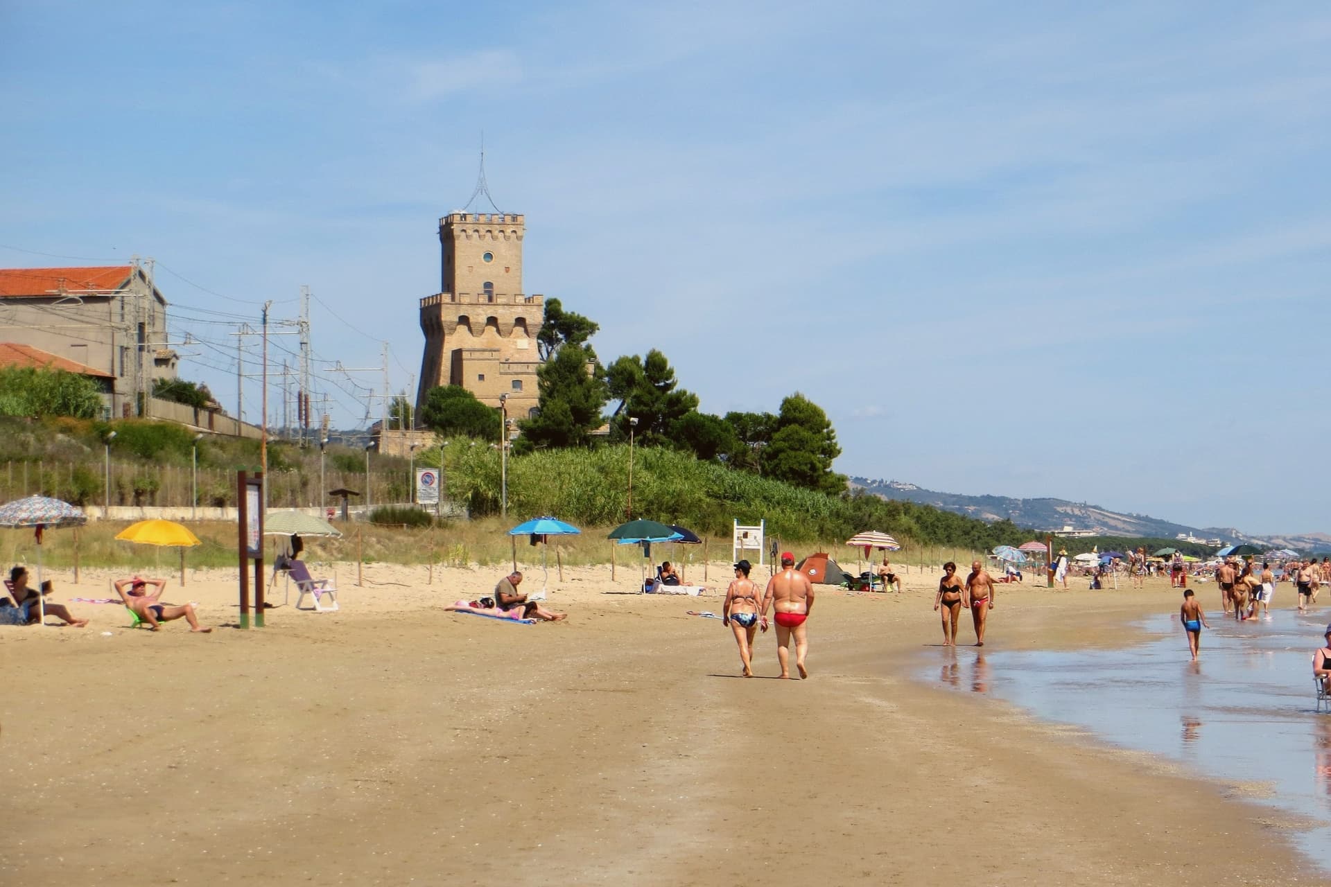
 Alternatives to Alberobello: every small town in Puglia, trulli or not41 towns, Rodi Garganico among them.
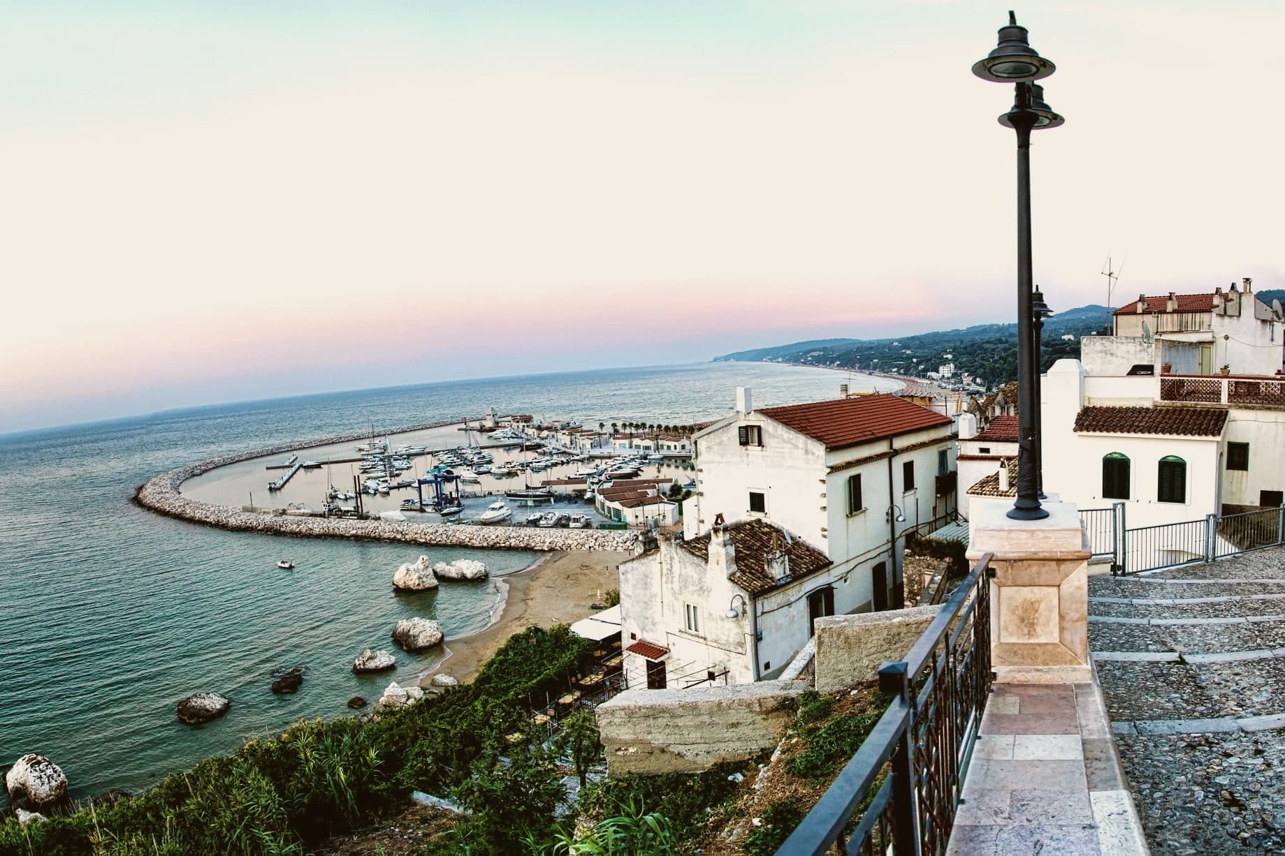
 The best small beach towns in Italy that nobody sells you, all of them145 towns, Rodi Garganico among them.
How to get there
From Bari / Brindisi (BRI), about 2h 44m by car.
Naples / Salerno (NAP) is about 4 hours away.
By car from the centre of Pescara 2h 24m, Bari 2h 48m or Ancona 4 hours.
There is a railway station in the comune, so you can arrive without a car.
What to see
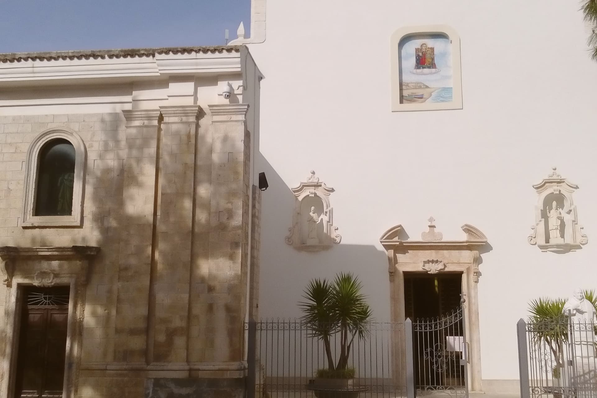
Santuario della Madonna della Libera
The sanctuary stands above the old town on the promontory edge, the icon inside kept behind the altar the focus of local devotion for centuries.
Chiesa di San Nicola di Mira
Old parish church with a Greek-Byzantine bell tower, the architectural trace of the Gargano's eastern liturgical past.
Centro storico
Whitewashed promontory village on the cliff above the Adriatic, narrow stepped lanes dropping toward the harbour and the beaches.
Spiagge di Rodi
Long sand beaches extending both west toward Foce Varano and east toward San Menaio, the longest continuous coastline on the Gargano.
Parco Nazionale del Gargano
National park covering the peninsula, with the citrus terraces of the town protected as a working agricultural landscape inside the park boundary.
The slow-trip planner
Building a trip? Find where Rodi Garganico fits in a slow Italy circuit.
Answer five questions. We will shape a geographically coherent slow trip from the 1,000 Italian towns most travelers skip. Yours to save and share.
Through the year
What happens here
Feasts and festivals that come back year after year. We give the month rather than the date, because the date moves and the month rarely does. Check with the source before you plan a journey around one.
Festeggiamenti di San Roccopatron saint's feast
usually held in August. La Terra di Puglia - Eventi in Puglia (guida mensile)
Living here
- Population 3,302
- Very remotei
- Pharmacy in town
- High school within a 30-minute drive
- Train station in the comune
- Nearest airport Bari / Brindisi, 2 h 44 min drive
- Regional capital Bari, 2 h 48 min drive
Common questions
- What is Rodi Garganico known for?
- Rodi Garganico is a Gargano promontory town above the Adriatic, citrus capital of the peninsula, with DOP oranges and lemons grown on the terraces below it.
- Where is Rodi Garganico?
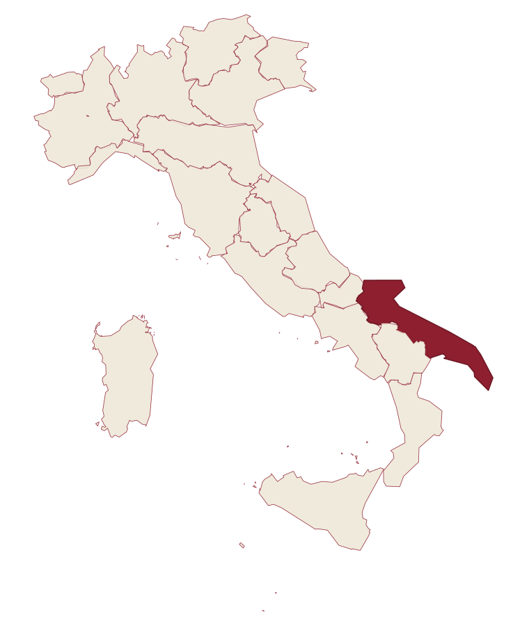
- Rodi Garganico is a comune in the province of Foggia, in Apulia, at 42 meters above sea level.
- What is the nearest airport to Rodi Garganico?
- Bari / Brindisi (BRI), about 2h 44m by car.
- Can you get to Rodi Garganico without a car?
- Yes. There is a railway station in the comune, so you can arrive by train.
- How long is the drive from Pescara to Rodi Garganico?
- About 2h 24m by car.
- When is the best time to visit Rodi Garganico?
- Best in May–Sep. July is the warmest month, averaging 30 degrees, and November the wettest, with about 12 rain days.
- Is there a sagra or a festival in Rodi Garganico?
- Yes. Festeggiamenti di San Rocco. August is when the first of them falls.
- Which other towns are like Rodi Garganico?
- Otranto, Campi Salentina and Peschici.
- How many people live in Rodi Garganico?
- 3,302 at the 2023 count.
Tags & datadesignations · numbers · sources
Recognised as
The numbers
- Elevation: 42 m
- Population: 3,302
- Surface area: 13.45 km²
These figures were compiled from public directories: ISTAT, OpenStreetMap and Wikidata, and from the official listings of the guides named on this page. Town details change; verify with official sources before you travel.
Similar
Towns like Rodi Garganico
Otranto
Province: Lecce
both on the Adriatic coast · both between 3,000 and 10,000 people
Campi Salentina
Province: Lecce
both on the Adriatic coast · both between 3,000 and 10,000 people
Peschici
Province: Foggia
both on the Adriatic coast · both between 3,000 and 10,000 people
Aquileia
Province: Udine
both on the Adriatic coast · both between 3,000 and 10,000 people
Gabicce Mare
Province: Pesaro e Urbino
both on the Adriatic coast · both between 3,000 and 10,000 people
Fossacesia
Province: Chieti
both on the Adriatic coast · both between 3,000 and 10,000 people
🟦 Bandiera Blu
More Bandiera Blu towns in Apulia
Bisceglie
Province: Barletta-Andria-Trani
An Adriatic port town between Trani and Molfetta, named for Roman watchtowers, with five dolmens around it and a Norman cathedral begun in 1073.
Carovigno
Province: Brindisi
An upper Salento hill town between Brindisi and Ostuni, with a marine reserve on its coast.
Castellaneta
Province: Taranto
A cliff-edge Murge town at 235 meters above the Gravina Grande canyon, birthplace of Rudolph Valentino in 1895, with a Bandiera Blu Ionian marina.
Fasano
Province: Brindisi
A Brindisi-province town running from the Adriatic up to the Itria escarpment, holding a Roman coastal city, a wooded highpoint, and Europe's second-largest safari park.
Gallipoli
Province: Lecce
The Ionian beach city on a limestone island, Greek Kallipolis meaning beautiful city, tied to the mainland by a seventeenth-century bridge.