
Emilia-Romagna · Parma
Corniglio
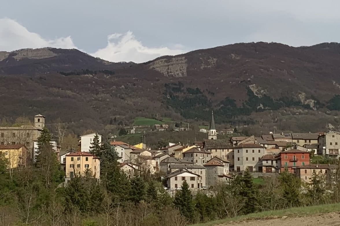
A 690-meter Parma-Apennine commune inside the Tosco-Emiliano park, with a thirteenth-century Rossi castle and the Lagdei plateau above.
- Best time
- May–Oct
- By car
- 1 h from Parma
- Population
- 1,755
Known for
LAGO SANTO PARMENSE
Largest natural lake in the northern Apennines, at 1,508 meters under Monte Marmagna, glacial in origin.
ROSSI CASTLE
Sandstone castle documented from 1240, built by the Rossi family of Parma, who held the upper valley until the sixteenth century.
PROSCIUTTO ALTITUDE
The high end of the Prosciutto di Parma curing zone, where Apennine air pulls salt out of the meat in a particular way.
When to visit
Best · May–Oct
- J7°
- F10°
- M11°
- A14°
- M18°
- J23°
- J27°
- A26°
- S21°
- O17°
- N11°
- D8°
- Best
- Hot or crowded
- Quiet
- Mostly closed
Daytime averages, 2020–2024. Weather data by Open-Meteo.com.
Why come
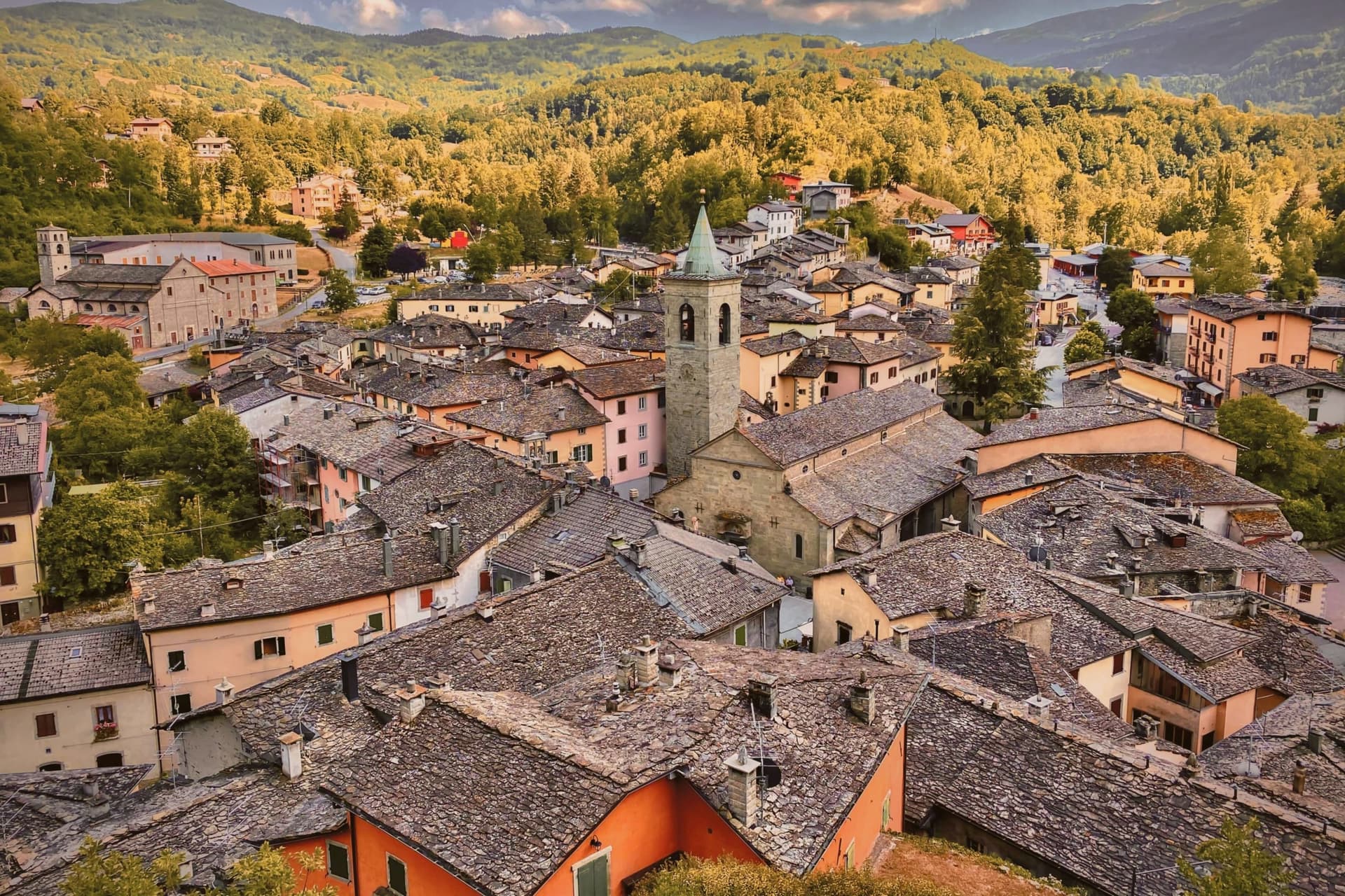
Corniglio sits in the upper Parma valley, forty kilometers southwest of Parma. The municipality covers 165 square kilometers, mostly forest and high pasture, climbing from the village floor to the watershed ridge at Monte Sillara, 1,861 meters, on the Tuscan border. The village itself, the plateau above it, and the ridge beyond form a single climb in altitude: borgo, then Lagdei, then the peaks, each a stage further from the valley floor.
Population has fallen below 1,800, and most frazioni scattered through the municipality hold fewer than fifty residents each, a thin scatter of settlement across a large forested territory. The Prosciutto di Parma curing rooms reach this far up the valley, where the air pulls salt out of the meat in a particular way, a reminder that this high ground still answers to the plain below it even as it empties of people. What the valley adds up to is a place organized less around the village than around the ascent behind it, from settled floor to near-empty ridge.
The Sunday letter
Corniglio is on our list. Its letter is still to come.
We are writing about all 1,000 of these towns, one at a time, in a free letter every Sunday: the photo, the food, the festa. That is our mission. Sign up and you will be there when Corniglio comes up. By Peter & Sophia, from Pietrasanta.
Read on
Corniglio in our articles
 10 comuni that earned their recognition for something other than being pretty10 towns, Corniglio among them.
 The best hidden towns inside a nature park in Emilia-Romagna10 towns, Corniglio among them.
 Every ski town in our catalogue, all of them97 towns, Corniglio among them.
 Every town in our catalogue inside a national park151 towns, Corniglio among them.
How to get there
From Bologna (BLQ), about 2 hours by car.
Florence / Pisa (PSA) is about 2h 12m away.
By car from the centre of Parma 1 hour or Pisa 2 hours.
Coming by train into Parma? Corniglio is about 1 hour away by road.
What to see
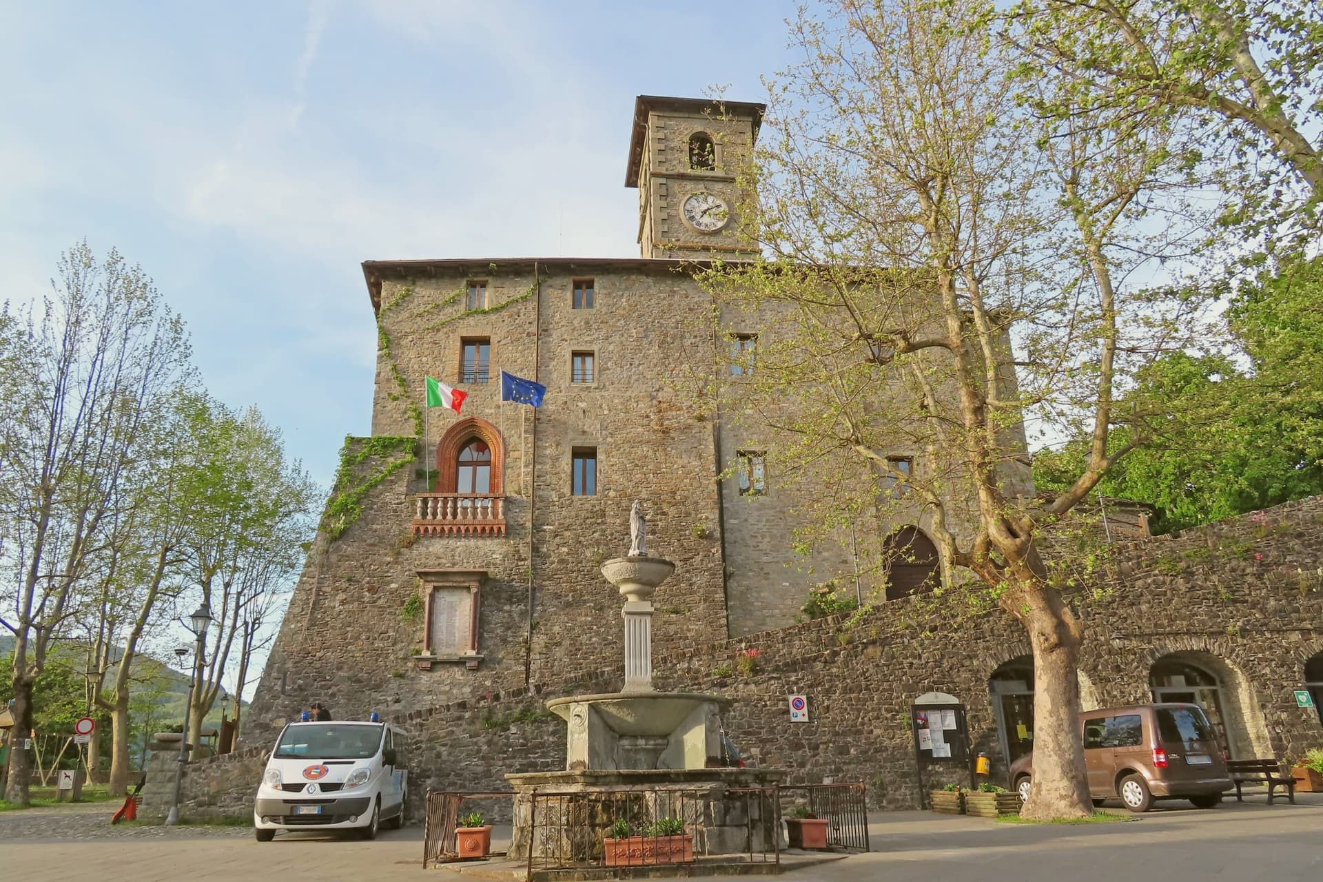
Castello di Corniglio
The castle stands on the ridge above the borgo, its sandstone walls facing down the valley toward the village roofs below.
Lago Santo Parmense
Reached by trail from Lagdei, the lake sits under the ridge in a glacial basin, the water cold and still against the rock walls above it.
Monte Marmagna
1,851-meter peak on the Tuscan-Emilian watershed, the southern boundary of the municipality and a four-hour climb from Lagdei.
Lagdei
Alpine plateau at 1,250 meters, trailhead for the lake and the ridge climbs, with a rifugio and parking on the road from Bosco.
Parco Nazionale dell'Appennino Tosco-Emiliano
Most of the municipality lies inside the park, established in 2001, covering 26,000 hectares of beech, fir, and high pasture.
The slow-trip planner
Building a trip? Find where Corniglio fits in a slow Italy circuit.
Answer five questions. We will shape a geographically coherent slow trip from the 1,000 Italian towns most travelers skip. Yours to save and share.
Living here
- Population 1,755
- Remotei
- Pharmacy: none mapped
- Nearest high school over ~30 minutes away
- Nearest airport Bologna, 2 h 2 min drive
- Regional capital Bologna, 2 h 7 min drive
Common questions
- What is Corniglio known for?
- Corniglio is a 690-meter Parma-Apennine commune inside the Tosco-Emiliano park, with a thirteenth-century Rossi castle and the Lagdei plateau above.
- Where is Corniglio?
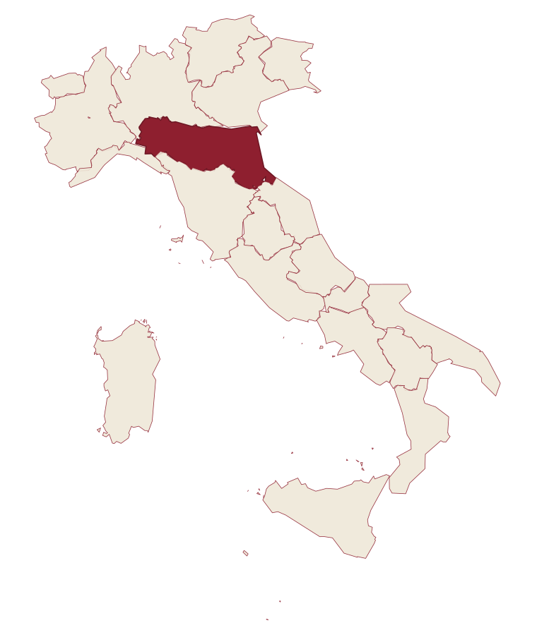
- Corniglio is a comune in the province of Parma, in Emilia-Romagna, at 690 meters above sea level.
- What is the nearest airport to Corniglio?
- Bologna (BLQ), about 2 hours by car.
- How long is the drive from Parma to Corniglio?
- About 1 hour by car.
- When is the best time to visit Corniglio?
- Best in May–Oct. July is the warmest month, averaging 27 degrees, and May the wettest, with about 18 rain days.
- Which other towns are like Corniglio?
- Pennabilli, Calvello and Introdacqua.
- How many people live in Corniglio?
- 1,755 at the 2023 count.
Tags & datadesignations · numbers · sources
The numbers
- Elevation: 690 m
- Population: 1,755
- Surface area: 165.7 km²
These figures were compiled from public directories: ISTAT, OpenStreetMap and Wikidata, and from the official listings of the guides named on this page. Town details change; verify with official sources before you travel.
Similar
Towns like Corniglio
Pennabilli
Province: Rimini
both mountain-valley towns · both under 3,000 people
Calvello
Province: Potenza
both mountain-valley towns · both under 3,000 people
Introdacqua
Province: L'Aquila
both mountain-valley towns · both under 3,000 people
Carpegna
Province: Pesaro e Urbino
both mountain-valley towns · both under 3,000 people
Ormea
Province: Cuneo
both mountain-valley towns · both under 3,000 people
Trentinara
Province: Salerno
both mountain-valley towns · both under 3,000 people
🌲 Parco Nazionale
More Parco Nazionale towns in Emilia-Romagna
Bagno di Romagna
Province: Forlì-Cesena
A 491-meter thermal town at the head of the Savio valley, drawing on springs that have run at 47 degrees since Roman times.
Portico e San Benedetto
Province: Forlì-Cesena
A three-tier medieval borgo at 309 meters on the Montone river, capital of Florence's Romagna territories from 1386.
Premilcuore
Province: Forlì-Cesena
A 459-meter walled borgo on the Rabbi river, an entry point to the Foreste Casentinesi from the Romagna side.