
Campania · Salerno
Padula
A hill town at 699 meters, holding the Certosa di San Lorenzo and the world's largest cloister.
- Best time
- May–Oct
- By car
- 1 h 14 min from Salerno
- By train
- Station in the comune
- Population
- 4,903
Known for
CERTOSA
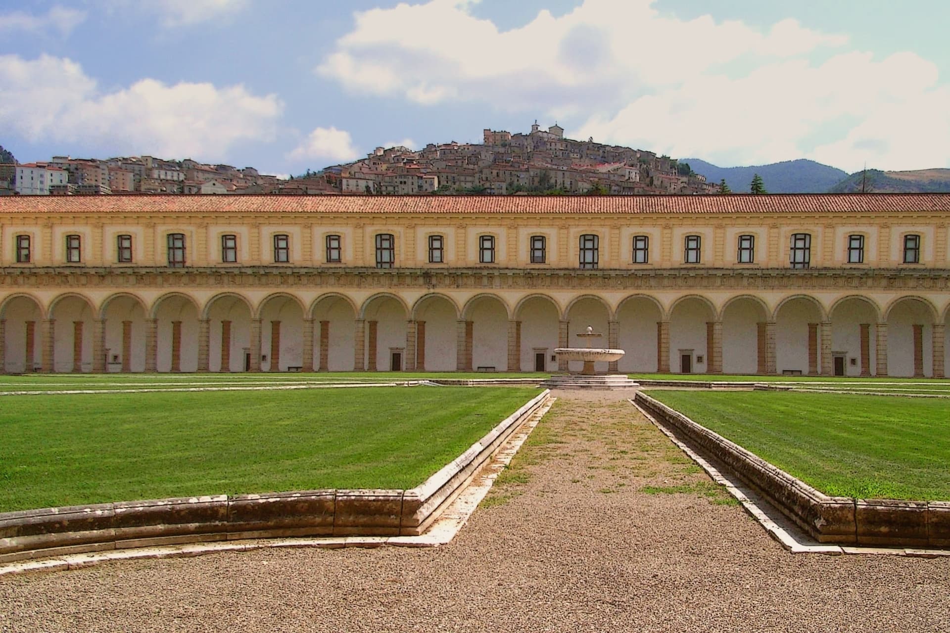
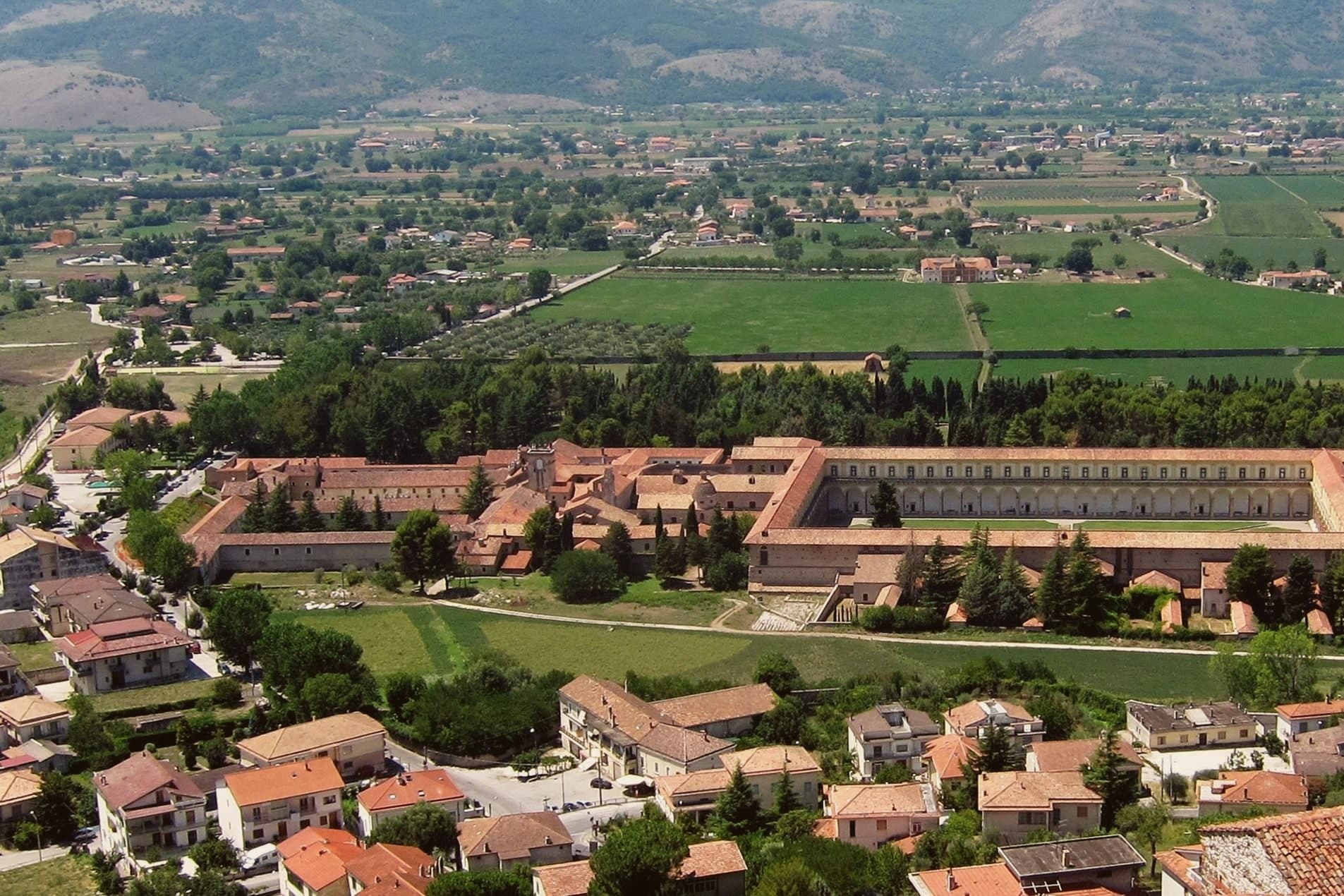
Carthusian monastery founded 1306, the largest in Italy, with a 12,000 m² principal cloister surrounded by 84 columns, UNESCO 1998.
PISACANE
1857 expedition by Carlo Pisacane ended here when local farmers turned on the volunteers and killed most of them in the streets.
PANE DI PADULA
Round wheat loaves from local mills, baked in wood ovens; Padula is part of the Città del Pane network for the tradition.
When to visit
Best · May–Oct
- J9°
- F11°
- M11°
- A15°
- M20°
- J25°
- J29°
- A29°
- S24°
- O19°
- N14°
- D10°
- Best
- Hot or crowded
- Quiet
- Mostly closed
Daytime averages, 2020–2024. Weather data by Open-Meteo.com.
The festa: Michele, 29 September
Why come
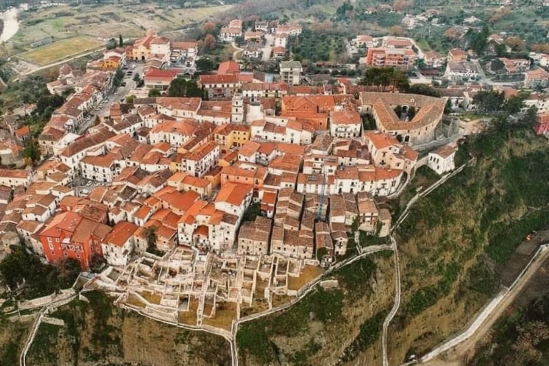
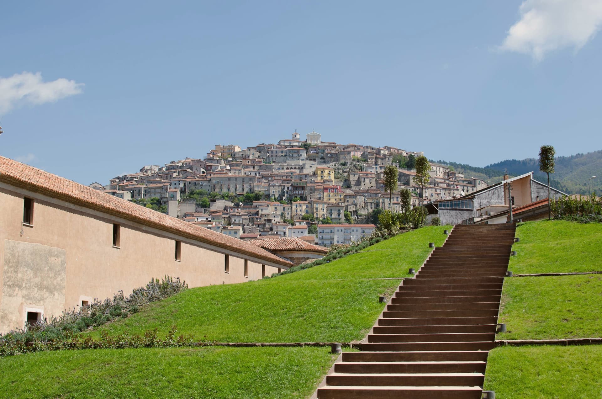
Padula sits on two hills above the Vallo di Diano, the long valley between the Cilento and the Lucanian Apennines. The monastery was founded on 27 April 1306 by Tommaso di Sanseverino, and UNESCO listed it in 1998 as part of the Cilento and Vallo di Diano serial site. The medieval centro climbs the hill above it, stone houses and narrow lanes rising to the church of San Michele Arcangelo at the summit, from where the valley opens out below.
It was in these streets that the 1857 volunteers were captured and killed, an event the town still marks with its monument. The commune is also Città del Pane, for the round wheat loaves baked in local wood ovens. Padula reads as a town built around a single enormous fact below it and a smaller, older settlement above, the two connected by a hillside that has seen both monastic ambition and a violent end to a political expedition.
The Sunday letter
Padula is on our list. Its letter is still to come.
We are writing about all 1,000 of these towns, one at a time, in a free letter every Sunday: the photo, the food, the festa. That is our mission. Sign up and you will be there when Padula comes up. By Peter & Sophia, from Pietrasanta.
Read on
Padula in our articles
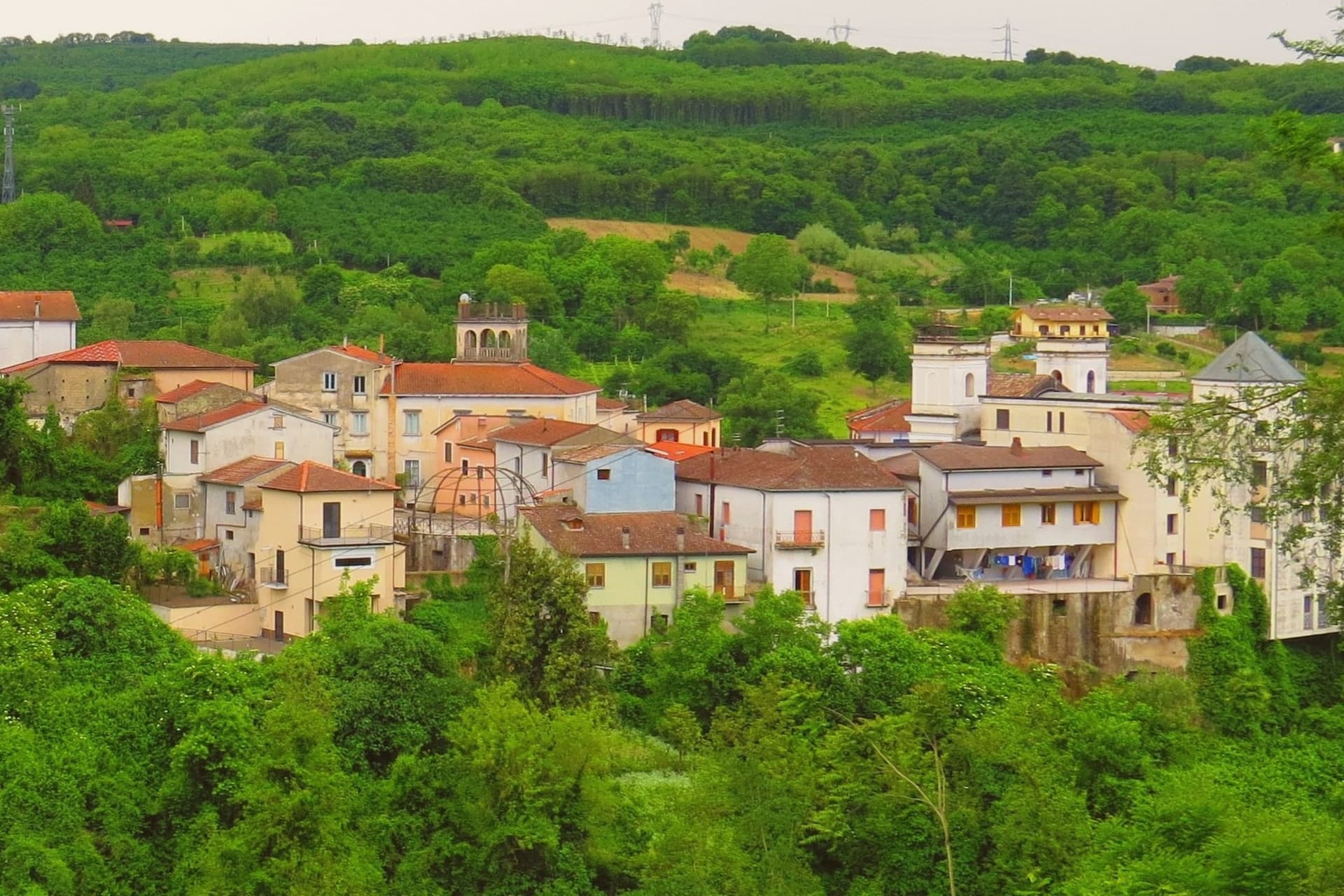
 The best towns you can reach by train in the province of Salerno7 towns, Padula among them.
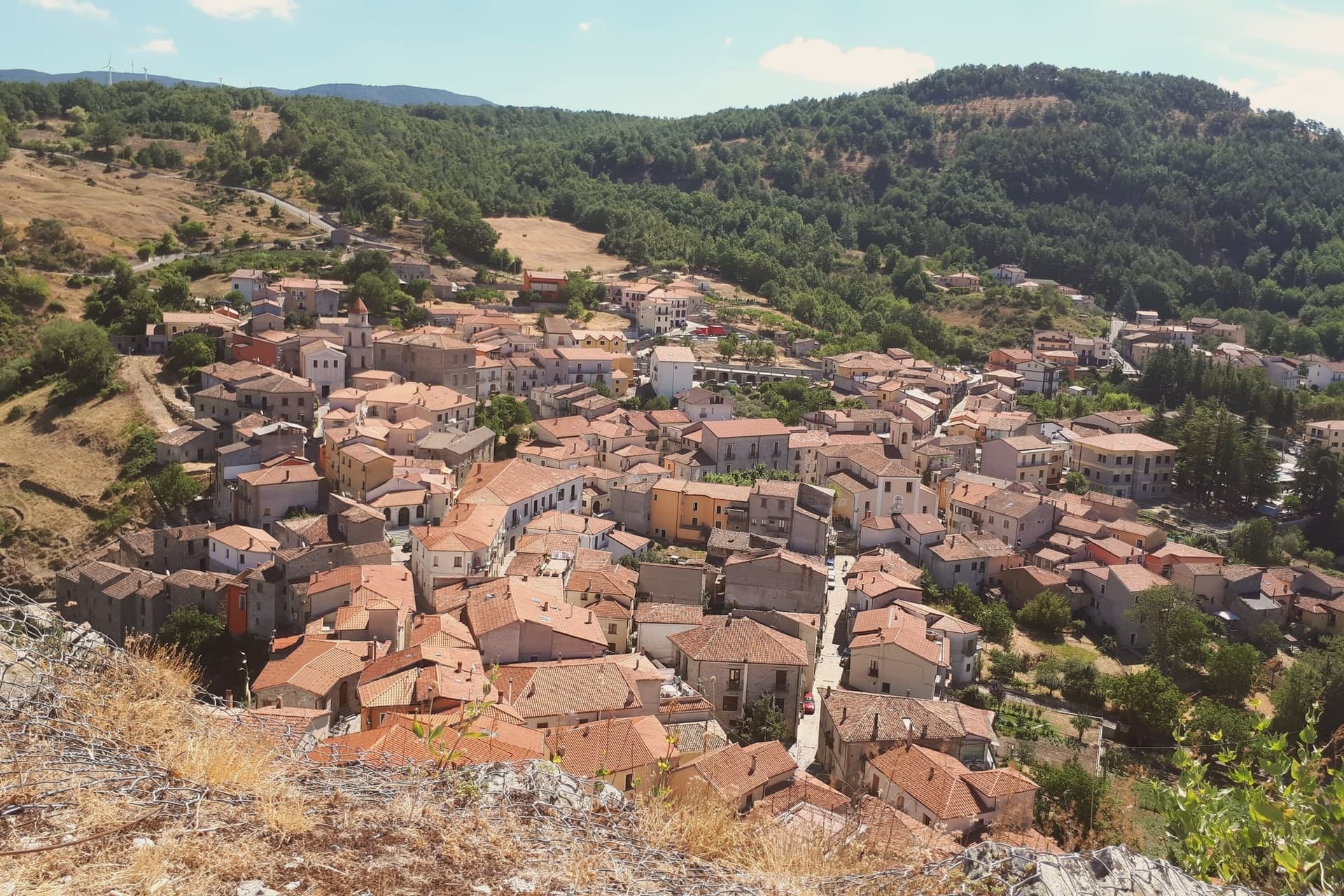
 The best small towns you can reach by train in Campania8 towns, Padula among them.
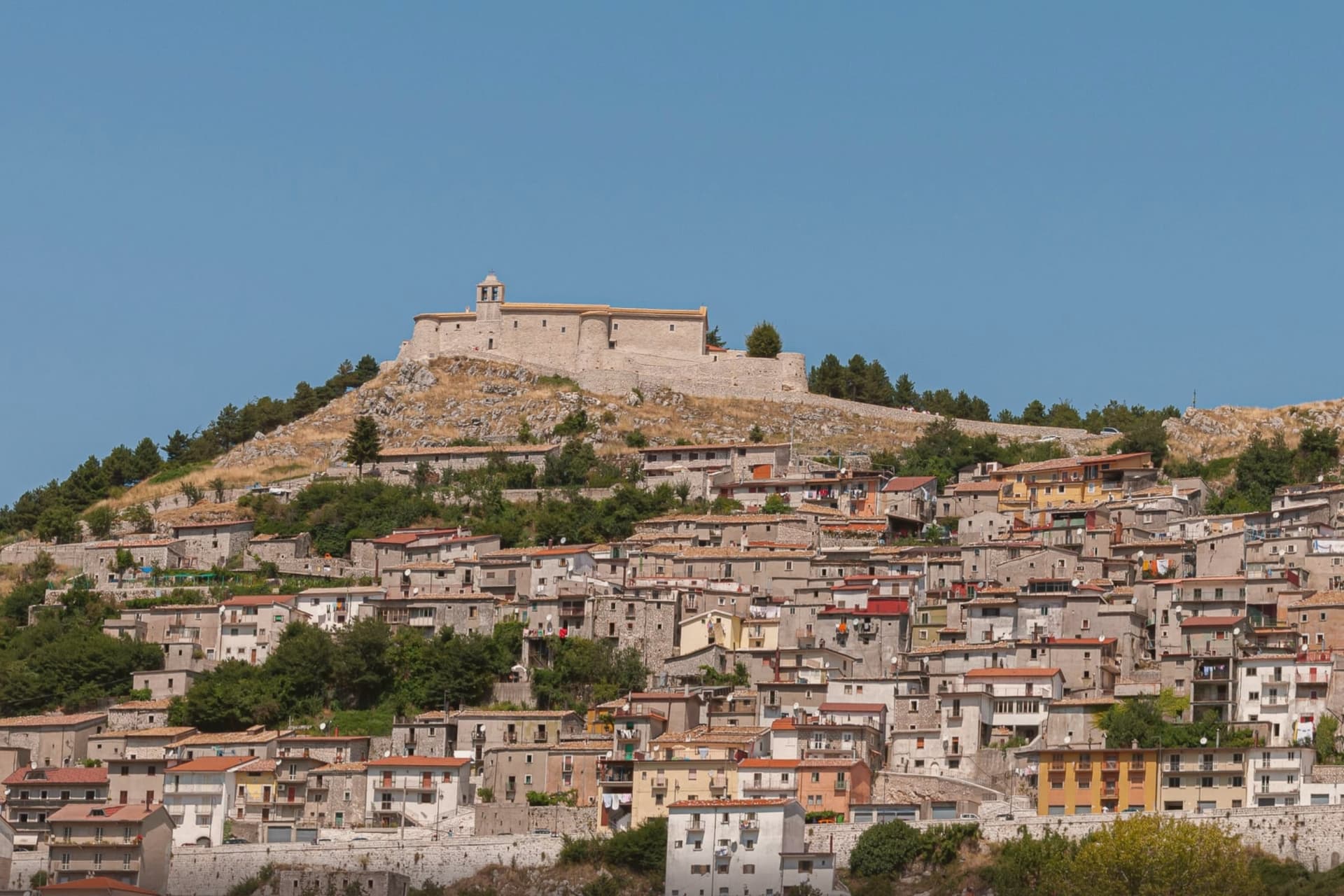
 The best mountain towns within 90 minutes of Salerno9 towns, Padula among them.
 The best small mountain towns in Campania10 towns, Padula among them.
How to get there
From Naples / Salerno (NAP), about 2 hours by car.
Lamezia / Reggio (SUF) is about 2h 52m away.
By car from the centre of Salerno 1h 14m, Naples 2 hours or Bari 3 hours.
There is a railway station in the comune, so you can arrive without a car.
Coming from Naples?
Coming by train into Salerno? Padula is about 1h 17m away by road.
What to see
Certosa di San Lorenzo
320 rooms and 51,500 m² of floor above the Vallo di Diano, its plan said to recall the griddle on which the dedicatee saint was burned alive. Built and rebuilt over four centuries by Carthusians suppressed in 1866.
Centro storico di Padula
Medieval hill town above the monastery, with stone houses, narrow lanes, and the church of San Michele Arcangelo at the top.
Battaglia di Padula
Monument to the fight in which the volunteers were captured and killed by Bourbon troops and local farmers in the streets of the centro.
Museo Archeologico della Lucania Occidentale
Archaeology museum in the monastery holding pre-Roman finds from the Vallo di Diano necropolises, including bronze armour and ceramics.
Chiesa di San Michele Arcangelo
Mother church at the top of the centro, rebuilt over a medieval core with a Baroque interior and views across the valley below.
The slow-trip planner
Building a trip? Find where Padula fits in a slow Italy circuit.
Answer five questions. We will shape a geographically coherent slow trip from the 1,000 Italian towns most travelers skip. Yours to save and share.
Living here
- Population 4,903
- Remotei
- Pharmacy in town
- High school within a 30-minute drive
- Train station in the comune
- Nearest airport Naples / Salerno, 1 h 57 min drive
- Market day Friday
- Regional capital Napoli, 1 h 57 min drive
Common questions
- What is Padula known for?
- Padula is a hill town at 699 meters, holding the Certosa di San Lorenzo and the world's largest cloister.
- Where is Padula?
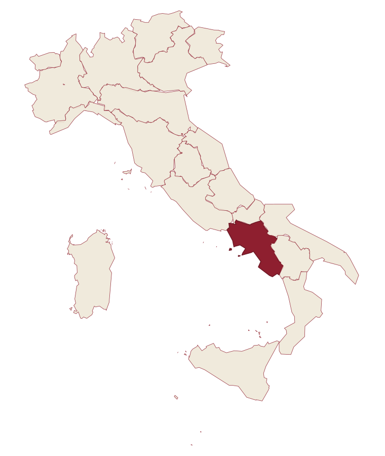
- Padula is a comune in the province of Salerno, in Campania.
- What is the nearest airport to Padula?
- Naples / Salerno (NAP), about 2 hours by car.
- Can you get to Padula without a car?
- Yes. There is a railway station in the comune, so you can arrive by train.
- How long is the drive from Salerno to Padula?
- About 1h 14m by car.
- When is the best time to visit Padula?
- Best in May–Oct. July is the warmest month, averaging 29 degrees, and November the wettest, with about 13 rain days.
- Is there a sagra or a festival in Padula?
- The town keeps its patron saint's day: Michele, 29 September.
- Which other towns are like Padula?
- Lagonegro, Sterzing and Nusco.
- How many people live in Padula?
- 4,903 at the 2023 count.
Tags & datadesignations · numbers · sources
Recognised as
The numbers
- Elevation: 699 m
- Population: 4,903
- Surface area: 67.12 km²
These figures were compiled from public directories: ISTAT, OpenStreetMap and Wikidata, and from the official listings of the guides named on this page. Town details change; verify with official sources before you travel.
Similar
Towns like Padula
Lagonegro
Province: Potenza
both mountain-valley towns · both between 3,000 and 10,000 people
Sterzing
Province: Bolzano
both mountain-valley towns · both between 3,000 and 10,000 people
Nusco
Province: Avellino
both mountain-valley towns · both between 3,000 and 10,000 people
Teggiano
Province: Salerno
both mountain-valley towns · both between 3,000 and 10,000 people
Castel di Sangro
Province: L'Aquila
both mountain-valley towns · both between 3,000 and 10,000 people
Agnone
Province: Isernia
both mountain-valley towns · both between 3,000 and 10,000 people
🏛️ UNESCO
More UNESCO towns in Campania
Amalfi
Province: Salerno
The first Italian maritime republic and the coast it named, six meters above the sea between cliffs that close around the duomo's steps.
Ascea
Province: Salerno
Two villages, a hilltown at 230 meters and a Cilento marina, with Parmenides and Zeno's Eleatic school in the ruins of Greek Velia below.
Atrani
Province: Salerno
The smallest commune in Italy by area, twelve hectares of stacked houses where the Amalfi Coast pinches shut around a single piazza.
Benevento
Province: Benevento
Sannio capital at the Calore-Sabato confluence, with a 114 AD Trajan arch and a Lombard rotunda on the UNESCO list.
Capaccio Paestum
Province: Salerno
Three Doric temples of 550 to 450 BC on the Sele plain, with mozzarella di bufala DOP on the buffalo flats below.