
Abruzzo · Pescara
Roccamorice
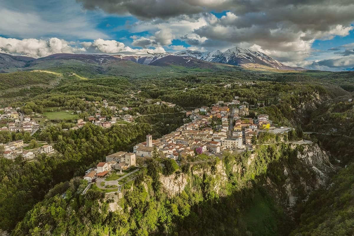
A village at 520 meters in the Majella foothills, gateway to the rock-cut hermitages carved into the surrounding limestone.
- Best time
- Apr–Oct
- By car
- 1 h from Pescara
- Population
- 878
Known for
EREMI
Two Celestinian rock-cut hermitages, San Bartolomeo in Legio and Santo Spirito a Majella, used by the future Pope in the 13th century.
CELESTINE V
Pietro da Morrone lived in the San Bartolomeo hermitage before his 1294 election as Pope Celestine V and his five-month abdication.
MAJELLA
The commune sits inside the Parco Nazionale della Majella with trail access to the high karst plateau and Monte Amaro at 2,793 meters.
When to visit
Best · Apr–Oct
- J9°
- F12°
- M12°
- A15°
- M20°
- J25°
- J29°
- A28°
- S24°
- O20°
- N15°
- D11°
- Best
- Hot or crowded
- Quiet
- Mostly closed
Daytime averages, 2020–2024. Weather data by Open-Meteo.com.
The festa: Donato d'Arezzo, 7 August
Why come
Roccamorice sits at 520 meters on the western flank of the Majella massif, inside the boundaries of the national park. The village was founded around the year 1000 and stayed small, its fortunes shaped less by the settlement itself than by the limestone around it, where the rock has been hollowed into retreats since before the 11th century. A hermit spent two years in one of them before his election as Pope, and the larger of the two hermitages, cut partly into a cliff face, was another of his retreats during the same years on the Majella.
The trails to both hermitages start in the village, so the town functions as the low point from which the mountain is entered rather than a destination in itself. That relation is repeated every August 25, when a statue is carried down from the rock to the parish church and, presumably, back again: the village receives what the mountain holds. The abdication that followed, an event Dante placed in his Inferno, is the one moment when a hermit's retreat from the world became a subject of it.
The Sunday letter
Roccamorice is on our list. Its letter is still to come.
We are writing about all 1,000 of these towns, one at a time, in a free letter every Sunday: the photo, the food, the festa. That is our mission. Sign up and you will be there when Roccamorice comes up. By Peter & Sophia, from Pietrasanta.
Read on
Roccamorice in our articles
 The best hill towns in the province of Pescara7 towns, Roccamorice among them.
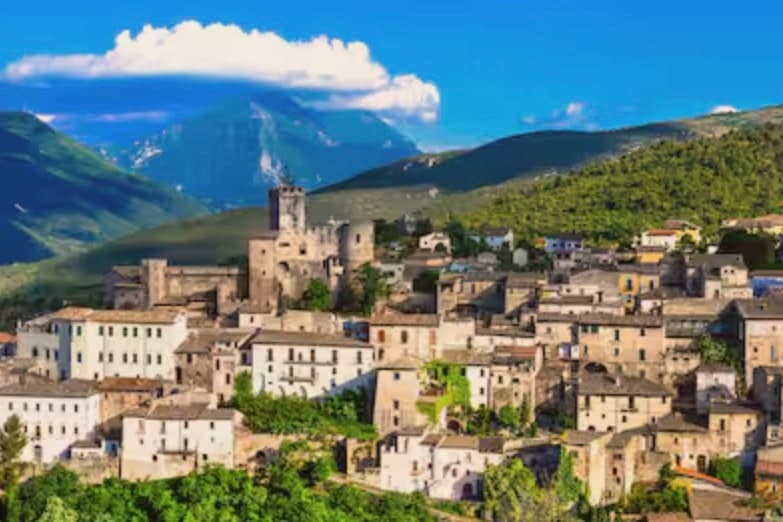 The best small hill towns inside a national park in Abruzzo10 towns, Roccamorice among them.
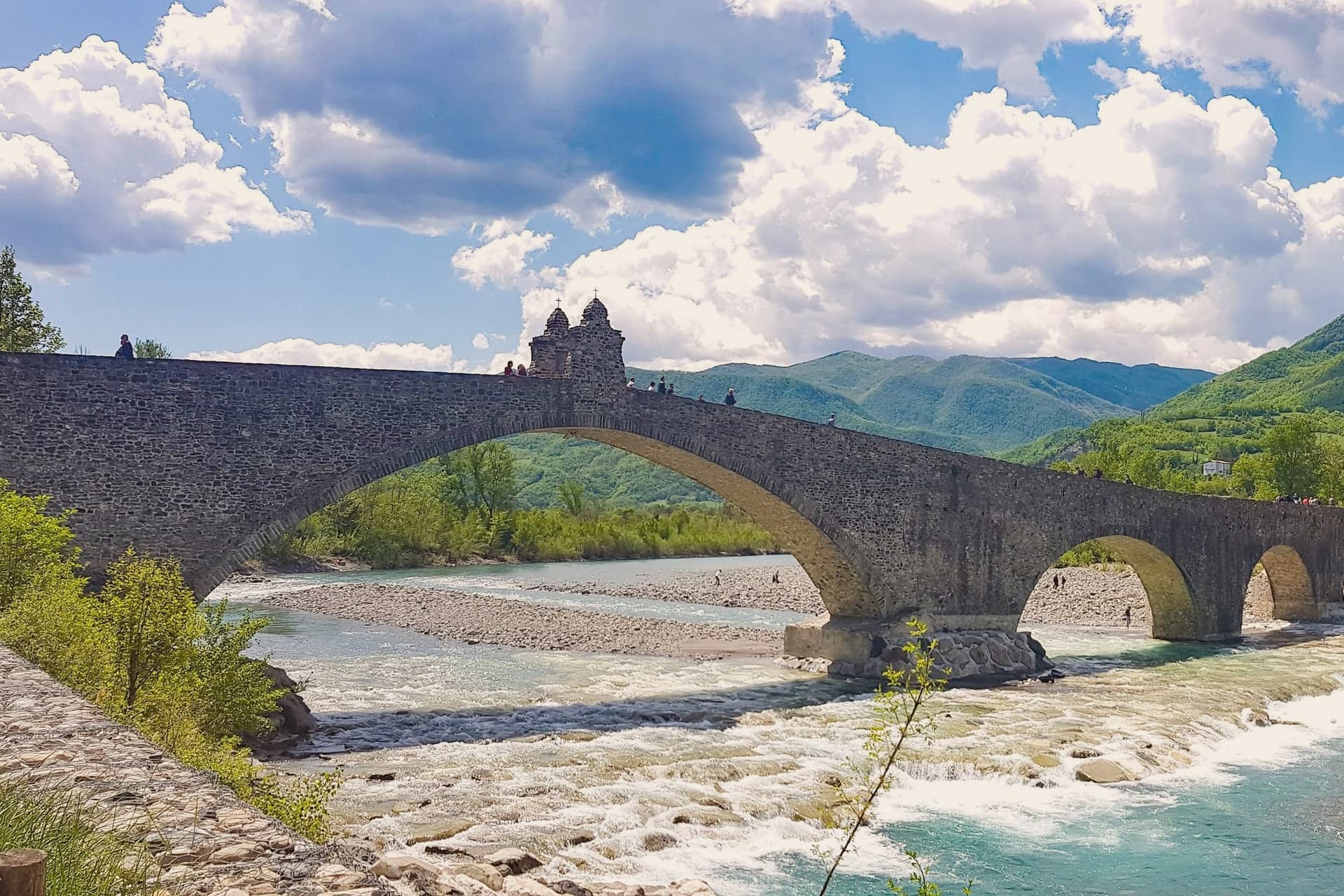 Every ski town in our catalogue, all of them97 towns, Roccamorice among them.
 Every town in our catalogue inside a national park151 towns, Roccamorice among them.
How to get there
From Ancona / Pescara (AOI), about 2h 34m by car.
Rome (FCO) is about 3h 8m away.
By car from the centre of Pescara 1 hour or Ancona 2h 30m.
Coming by train into Pescara Centrale? Roccamorice is about 1 hour away by road.
What to see
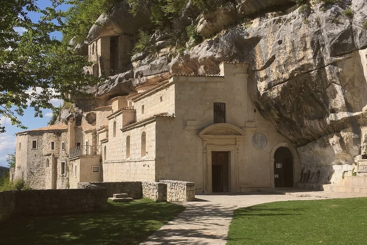
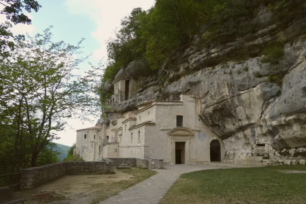
Eremo di San Bartolomeo in Legio
Pre-11th-century rock-cut hermitage at 700 meters under a 50-meter cliff, restored in 1250 by the future Pope Celestine V.
Eremo di Santo Spirito a Majella
Larger hermitage partly cut into the limestone, reached by the same trails that climb from the village into the massif.
Chiesa di Sant'Antonio Abate
Parish church of the village, end point of the August 25 procession carrying the statue of the hermitage's patron saint down from the rock.
Parco Nazionale della Maiella
The commune lies entirely inside the Majella National Park, with trails climbing east toward the Tavola dei Briganti and Monte Amaro.
The slow-trip planner
Building a trip? Find where Roccamorice fits in a slow Italy circuit.
Answer five questions. We will shape a geographically coherent slow trip from the 1,000 Italian towns most travelers skip. Yours to save and share.
Living here
- Population 878
- In-betweeni
- Pharmacy in town
- Nearest high school over ~30 minutes away
- Nearest airport Ancona / Pescara, 2 h 34 min drive
- Regional capital L'Aquila, 1 h 50 min drive
Common questions
- What is Roccamorice known for?
- Roccamorice is a village at 520 meters in the Majella foothills, gateway to the rock-cut hermitages carved into the surrounding limestone.
- Where is Roccamorice?
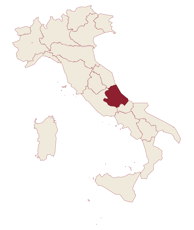
- Roccamorice is a comune in the province of Pescara, in Abruzzo.
- What is the nearest airport to Roccamorice?
- Ancona / Pescara (AOI), about 2h 34m by car.
- How long is the drive from Pescara to Roccamorice?
- About 1 hour by car.
- When is the best time to visit Roccamorice?
- Best in Apr–Oct. July is the warmest month, averaging 29 degrees, and May the wettest, with about 17 rain days.
- Is there a sagra or a festival in Roccamorice?
- The town keeps its patron saint's day: Donato d'Arezzo, 7 August.
- Which other towns are like Roccamorice?
- Capestrano, Roccacasale and Corfinio.
- How many people live in Roccamorice?
- 878 at the 2023 count.
Tags & datadesignations · numbers · sources
Recognised as
The numbers
- Elevation: 520 m
- Population: 878
- Surface area: 25.06 km²
These figures were compiled from public directories: ISTAT, OpenStreetMap and Wikidata, and from the official listings of the guides named on this page. Town details change; verify with official sources before you travel.
Similar
Towns like Roccamorice
Capestrano
Province: L'Aquila
both inland, away from the coast · both under 1,000 people
Roccacasale
Province: L'Aquila
both inland, away from the coast · both under 1,000 people
Corfinio
Province: L'Aquila
both inland, away from the coast · both under 1,000 people
Guardialfiera
Province: Campobasso
both inland, away from the coast · both under 1,000 people
Montegridolfo
Province: Rimini
both inland, away from the coast · both under 1,000 people
Portico e San Benedetto
Province: Forlì-Cesena
both inland, away from the coast · both under 1,000 people
🌲 Parco Nazionale
More Parco Nazionale towns in Abruzzo
Alfedena
Province: L'Aquila
At 914 meters at the head of the upper Sangro valley, the Samnite Aufidena, with a 15,000-tomb necropolis and a Roman conquest in 298 BC.
Barrea
Province: L'Aquila
A 1,066-meter spur above an artificial lake at the heart of the Abruzzo National Park, with a Samnite necropolis and an 11th-century di Sangro castle.
Calascio
Province: L'Aquila
A village of 125 people under the highest castle in the Apennines, cast as the monk's refuge in Ladyhawke.
Campli
Province: Teramo
A 393-meter town under the Monti della Laga, held by the Farnese for two centuries, with a Scala Santa carrying papal indulgence.
Campo di Giove
Province: L'Aquila
At 1,064 meters under the southwestern Maiella, the highest village in the park, named for a Roman temple to Jupiter.