
Campania · Benevento
Cerreto Sannita
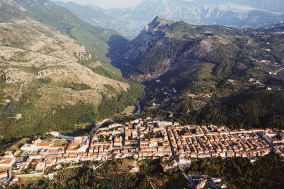
A Sannio ceramics town, replanned on an orthogonal grid after the 1688 earthquake leveled the old hill.
- Best time
- Apr–Oct
- By car
- 1 h 25 min from Naples
- Population
- 3,607
Known for
MAJOLICA
Centuries-old ceramic tradition shared with San Lorenzello, revived by the State Art Institute in the twentieth century and recognized as Città della Ceramica.
1688 REBUILD
Entire town leveled by the 5 June 1688 earthquake and replanned on an orthogonal grid by royal engineer Giovanni Battista Manni.
MATESE PARK
On the southern edge of the Matese Regional Park, with limestone slopes, beech forest and trails into the Sannio interior.
When to visit
Best · Apr–Oct
- J11°
- F13°
- M14°
- A17°
- M22°
- J27°
- J32°
- A31°
- S26°
- O21°
- N16°
- D12°
- Best
- Hot or crowded
- Quiet
- Mostly closed
Daytime averages, 2020–2024. Weather data by Open-Meteo.com.
The festa: Antonio di Padova, 13 June
Why come
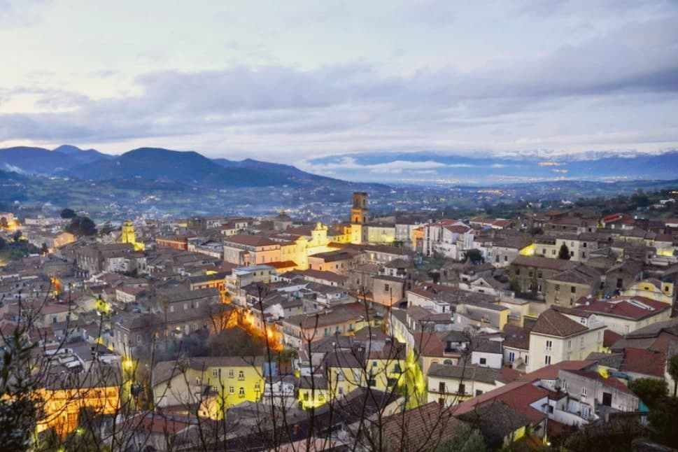
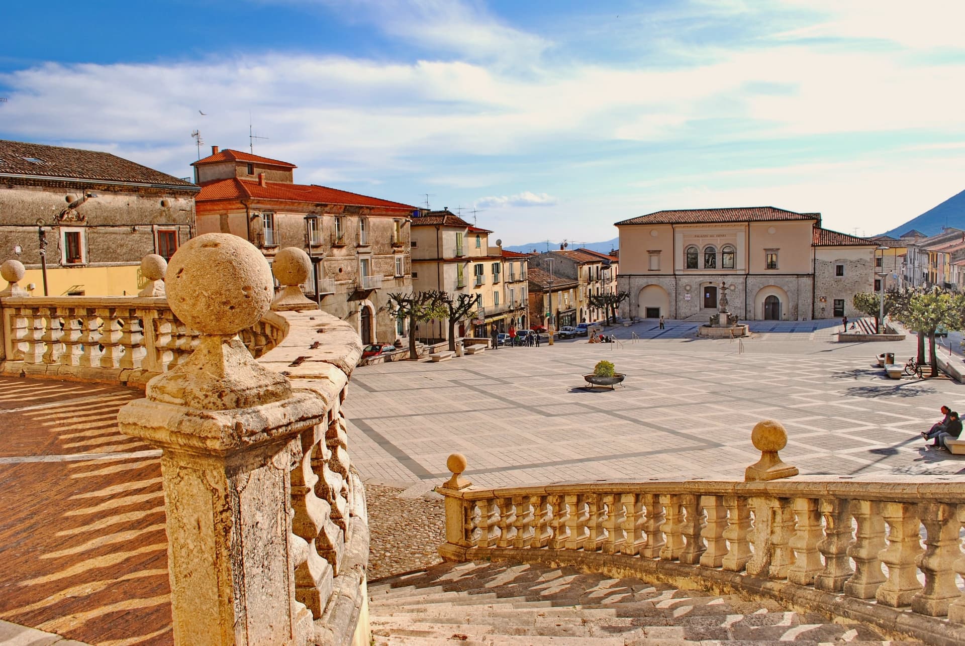
Cerreto Sannita sits in the Titerno valley of the Sannio, fifty-five kilometers northeast of Naples, with the Matese massif rising behind. The town was rebuilt at the order of Count Marzio Carafa, his brother Marino, and Bishop Giovanni Battista de Bellis, and the resulting grid runs orthogonally around a central piazza, a rare case of late-baroque urban planning in southern Italy. The other anchor is ceramics, an industry the town has long shared with its neighbour.
Workshops in both places have produced majolica since at least the sixteenth century, and the State Art Institute revived the craft in the mid-twentieth. Workshops still turn out ceremonial plates, lobed jugs, apothecary jars and riggiole tiles painted with wind-rose and garland motifs. The town is a Bandiera Arancione, a Cittaslow, and one of Italy's official Città della Ceramica. What results is a town whose street plan and whose craft both trace back to the same recovery: one rebuilt the ground it stands on, the other kept its hands busy on top of it.
The Sunday letter
Cerreto Sannita is on our list. Its letter is still to come.
We are writing about all 1,000 of these towns, one at a time, in a free letter every Sunday: the photo, the food, the festa. That is our mission. Sign up and you will be there when Cerreto Sannita comes up. By Peter & Sophia, from Pietrasanta.
Read on
Cerreto Sannita in our articles
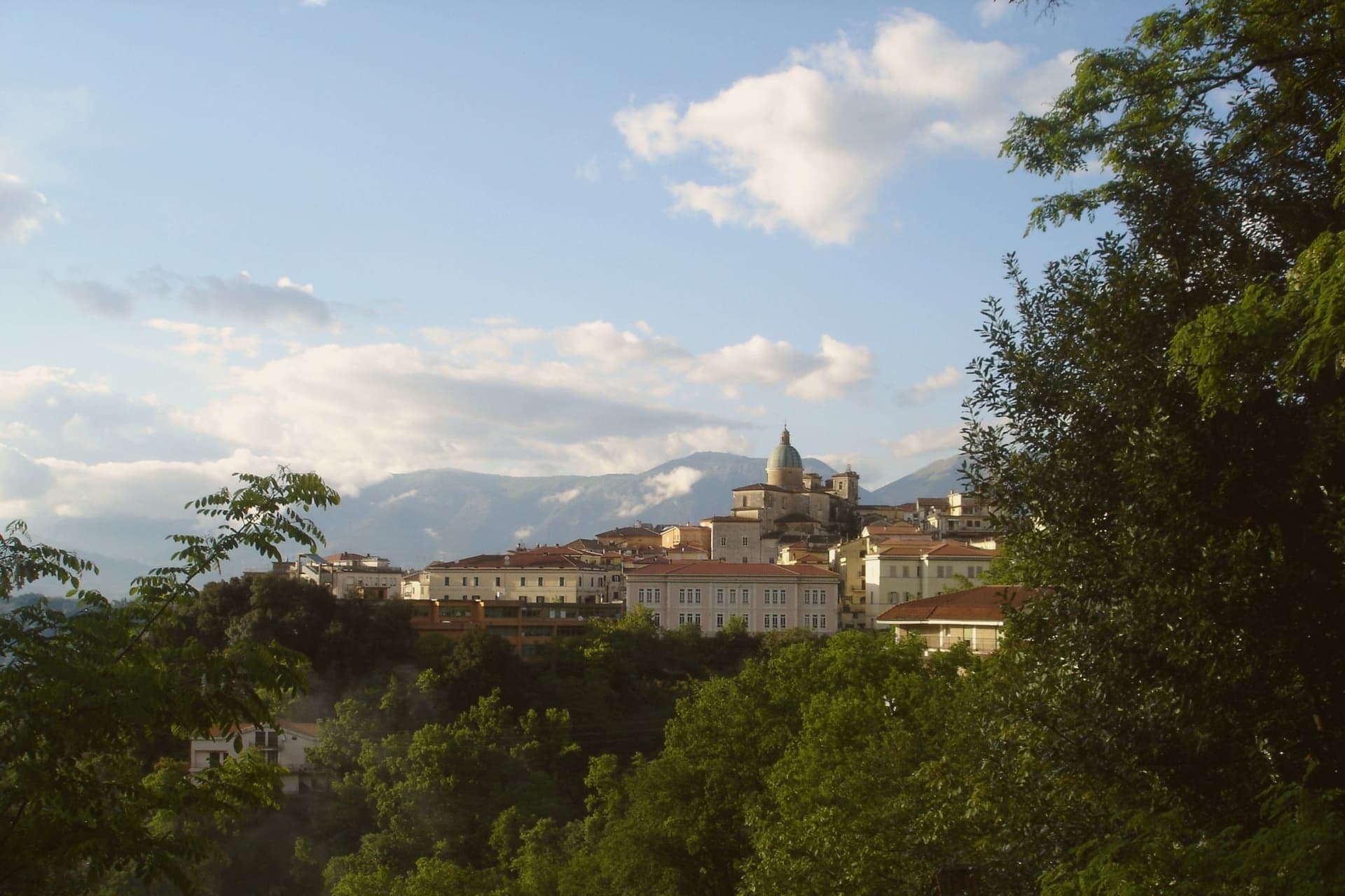
 The best olive oil towns within 90 minutes of Napoli6 towns, Cerreto Sannita among them.
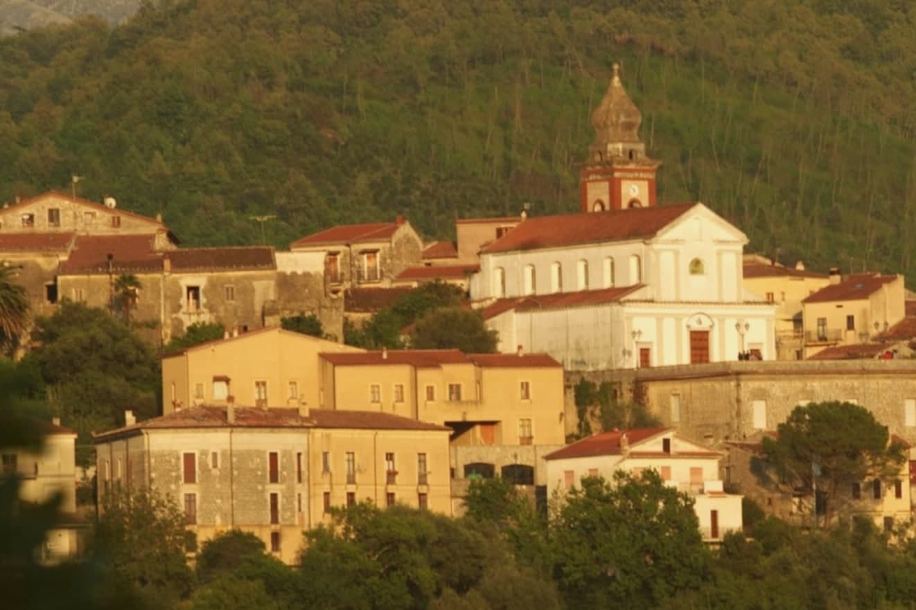
 The best wine towns within 90 minutes of Napoli7 towns, Cerreto Sannita among them.
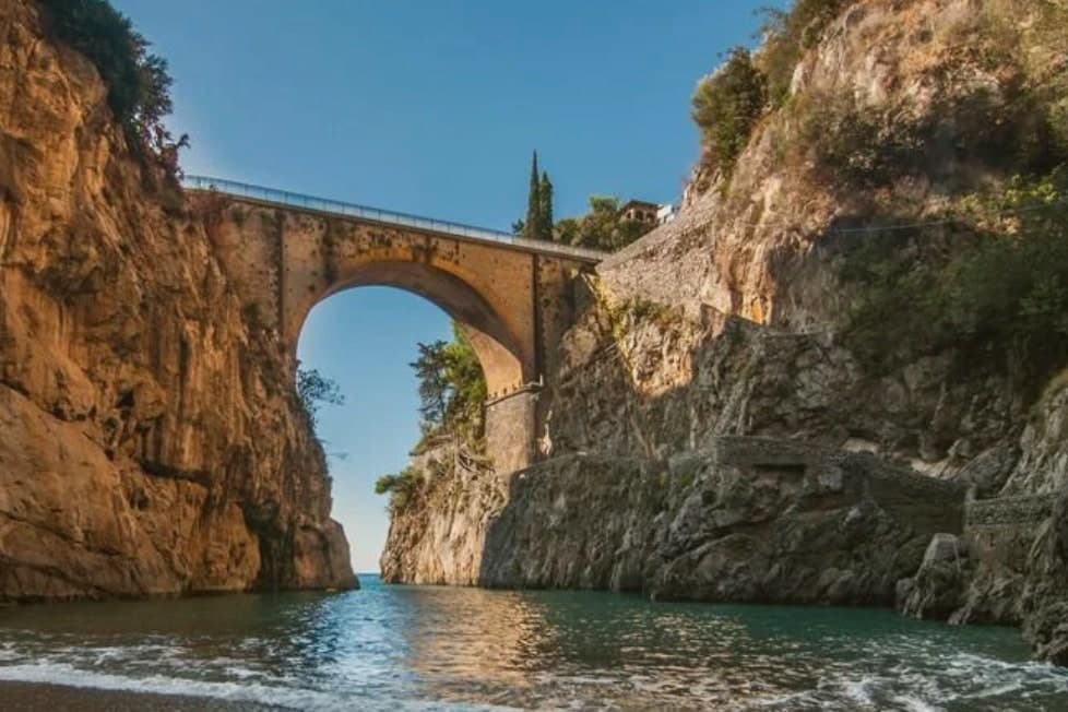
 The 8 best hill towns inside a national park in Campania8 towns, Cerreto Sannita among them.
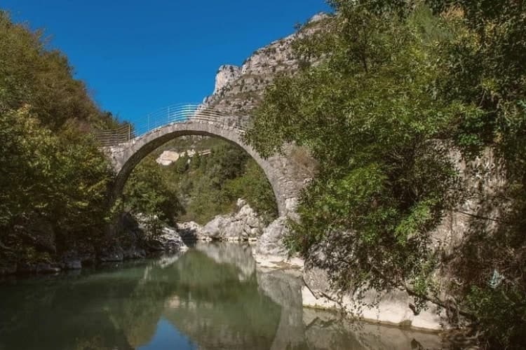
 The best small wine towns in Campania8 towns, Cerreto Sannita among them.
How to get there
From Naples / Salerno (NAP), about 1h 21m by car.
Bari / Brindisi (BRI) is about 3 hours away.
By car from the centre of Naples 1h 25m, Salerno 1h 43m or Rome 3 hours.
Coming by train into Napoli Centrale? Cerreto Sannita is about 1h 25m away by road.
What to see
Cattedrale della Santissima Trinità
Baroque facade and tiled dome at the centre of the new town plan, standing where the piazza anchors the orthogonal grid.
Museo Civico e della Ceramica Cerretese
Civic museum dedicated to four centuries of local majolica, with ceremonial plates, riggiole tiles and apothecary jars from Cerreto and San Lorenzello workshops.
Chiesa di San Martino
Late seventeenth-century church with painted majolica floor of Cerreto tiles, one of the best preserved riggiole pavements in the Sannio.
Centro storico orthogonal grid
Late-baroque street plan laid out by Giovanni Battista Manni between 1688 and 1696, a rare case of planned reconstruction after seismic destruction.
Matese Regional Park slopes
Limestone massif rising north of the town, beech forest, karst lakes and the Sant'Erasmo trail above the Titerno valley.
The slow-trip planner
Building a trip? Find where Cerreto Sannita fits in a slow Italy circuit.
Answer five questions. We will shape a geographically coherent slow trip from the 1,000 Italian towns most travelers skip. Yours to save and share.
Living here
- Population 3,607
- In-betweeni
- Pharmacy in town
- High school within a 30-minute drive
- Nearest airport Naples / Salerno, 1 h 21 min drive
- Regional capital Napoli, 1 h 25 min drive
Common questions
- What is Cerreto Sannita known for?
- Cerreto Sannita is a Sannio ceramics town at 290 meters, replanned on an orthogonal grid after the 1688 earthquake leveled the old hill.
- Where is Cerreto Sannita?
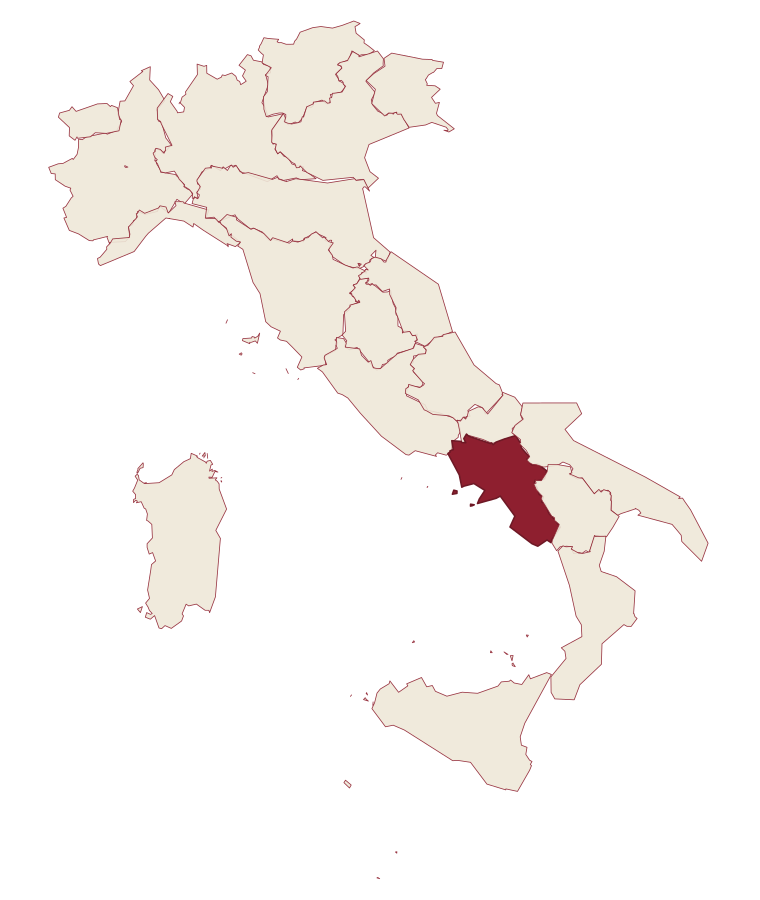
- Cerreto Sannita is a comune in the province of Benevento, in Campania.
- What is the nearest airport to Cerreto Sannita?
- Naples / Salerno (NAP), about 1h 21m by car.
- How long is the drive from Naples to Cerreto Sannita?
- About 1h 25m by car.
- When is the best time to visit Cerreto Sannita?
- Best in Apr–Oct. July is the warmest month, averaging 32 degrees, and November the wettest, with about 15 rain days.
- Is there a sagra or a festival in Cerreto Sannita?
- The town keeps its patron saint's day: Antonio di Padova, 13 June.
- Which other towns are like Cerreto Sannita?
- Canossa, Loreto Aprutino and Minervino Murge.
- How many people live in Cerreto Sannita?
- 3,607 at the 2023 count.
Tags & datadesignations · numbers · sources
Recognised as
The numbers
- Elevation: 290 m
- Population: 3,607
- Surface area: 33.35 km²
These figures were compiled from public directories: ISTAT, OpenStreetMap and Wikidata, and from the official listings of the guides named on this page. Town details change; verify with official sources before you travel.
Similar
Towns like Cerreto Sannita
Canossa
Province: Reggio nell'Emilia
both inland, away from the coast · both between 3,000 and 10,000 people
Loreto Aprutino
Province: Pescara
both inland, away from the coast · both between 3,000 and 10,000 people
Minervino Murge
Province: Barletta-Andria-Trani
both inland, away from the coast · both between 3,000 and 10,000 people
Atri
Province: Teramo
both inland, away from the coast · both between 3,000 and 10,000 people
Cusano Mutri
Province: Benevento
both inland, away from the coast · both between 3,000 and 10,000 people
Caiazzo
Province: Caserta
both inland, away from the coast · both between 3,000 and 10,000 people
🟠 Bandiera Arancione
More Bandiera Arancione towns in Campania
Letino
Province: Caserta
At 961 meters the highest commune in the province of Caserta, where in April 1877 anarchists declared a Republic of Letino in the village hall.
Morigerati
Province: Salerno
A 608-person Cilento village above the Bussento gorge, the river surfacing from underground caves directly beneath the cliffs.
Sant'Agata de' Goti
Province: Benevento
A medieval town built on a tuff cliff between two gorges, the houses standing flush with the edge over the Isclero river below.
Zungoli
Province: Avellino
An Irpinia ridge between the Ufita valley and the Daunian hills, with walls above and tuff caves below the houses.