
Marche · Macerata
San Ginesio
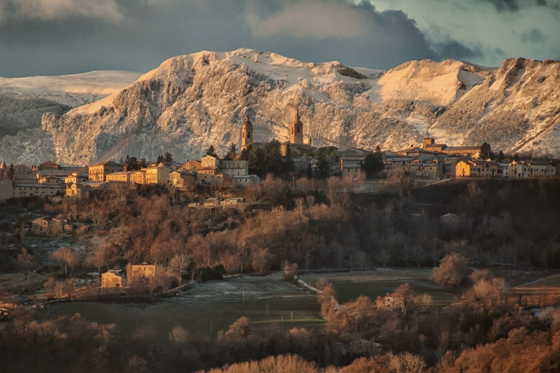
The Balcony of the Sibillini at 680 meters, where a 1295 pilgrim hospital and the only flowery gothic collegiate church in the Marche stand within the same walls.
- Best time
- May–Oct
- By car
- 1 h 17 min from Ancona
- Population
- 3,089
Known for
BALCONY OF THE SIBILLINI
Panorama from the walls reaching across Monte Vettore, the Sibillini ridge and Monte Ascensione to the Gran Sasso, the view that gives the town its nickname.
OSPEDALE DEI PELLEGRINI
1295 Romanesque pilgrim hospital with a sandstone portico and a 1457 upper brick loggia, sheltering travelers on the road to Rome.
FLOWERY GOTHIC COLLEGIATA
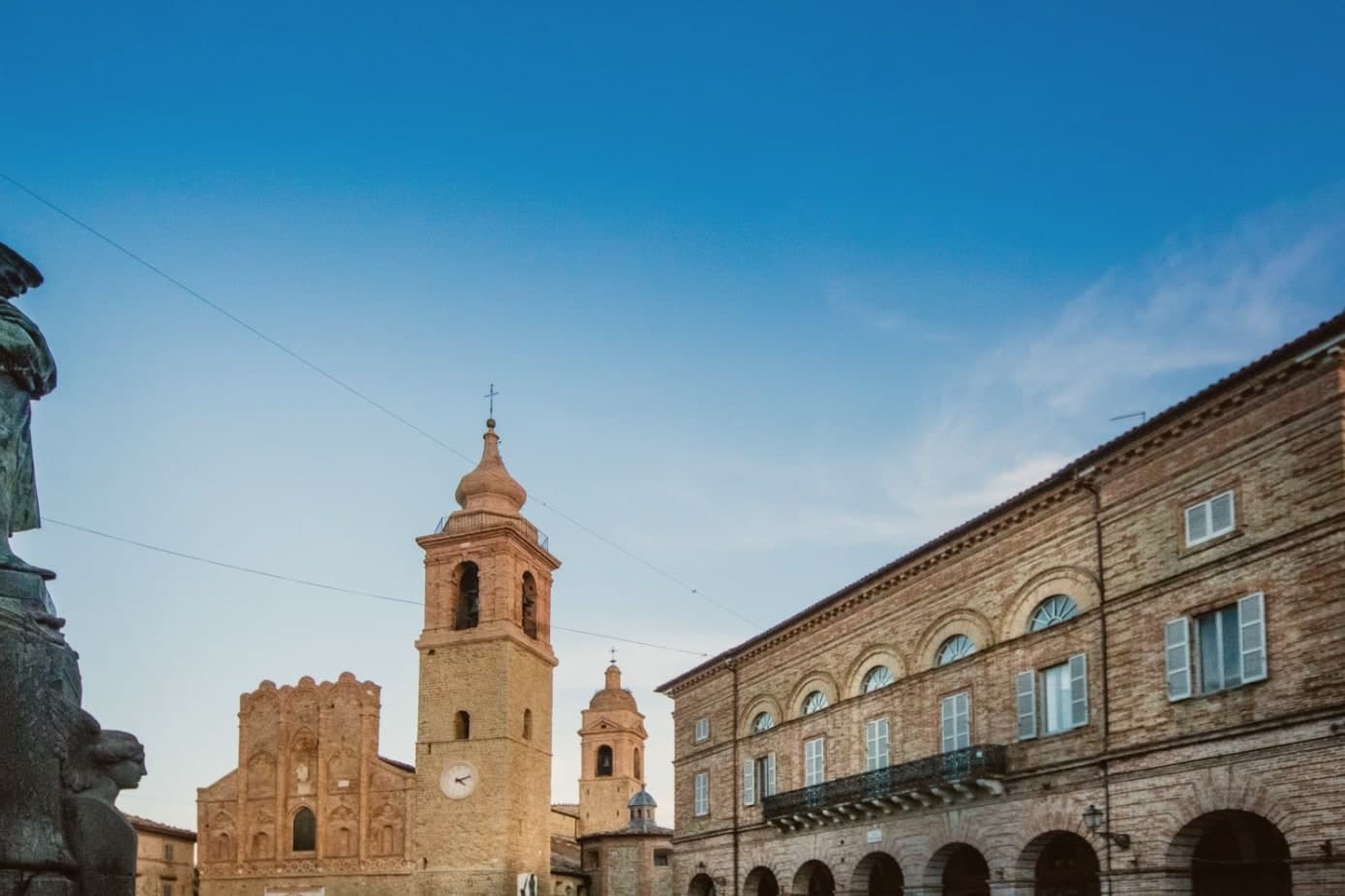
The Santissima Annunziata, only flowery gothic collegiate church in the Marche, with a brick facade dominating Piazza Gentili.
When to visit
Best · May–Oct
- J8°
- F11°
- M11°
- A14°
- M19°
- J25°
- J29°
- A28°
- S23°
- O19°
- N13°
- D10°
- Best
- Hot or crowded
- Quiet
- Mostly closed
Daytime averages, 2020–2024. Weather data by Open-Meteo.com.
Why come
San Ginesio sits at 680 meters on a hill in the Macerata province, fifth highest commune in the province, on ground that Norman bourgeoisie first fortified in the tenth century to control the valley below. The town ran for a time as a free republic before joining the Papal States under Cardinal Albornoz's fourteenth-century constitutions, and it passed under the Da Varano of Camerino from 1355 to 1434. A rivalry with the March of Fermo was settled at the Battle of Fornarina on 30 November 1377.
The historic center gathers its civic and religious buildings around one square, the church, the hospital and the town hall standing within sight of each other, a layout that still reads as the working core of the old republic. Outside the walls the ground rises toward the Sibillini massif, and the commune's territory reaches into the national park, so the same town that faces a piazza of medieval stone also has trails running from its western frazioni up into high pasture. The 2016 earthquake damaged many buildings and reconstruction is ongoing. What the centuries of fortification, republic, and rivalry left behind is a hill town whose walls still look both ways: down over the valley it once controlled, and out toward the mountains that give it its name.
The Sunday letter
San Ginesio is on our list. Its letter is still to come.
We are writing about all 1,000 of these towns, one at a time, in a free letter every Sunday: the photo, the food, the festa. That is our mission. Sign up and you will be there when San Ginesio comes up. By Peter & Sophia, from Pietrasanta.
Read on
San Ginesio in our articles
 The best mountain towns within 90 minutes of Perugia6 towns, San Ginesio among them.
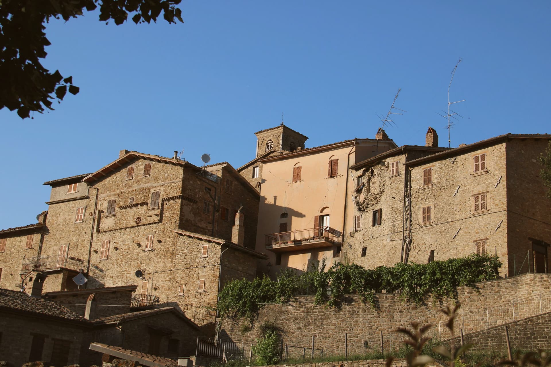 The best towns inside a national park in Marche6 towns, San Ginesio among them.
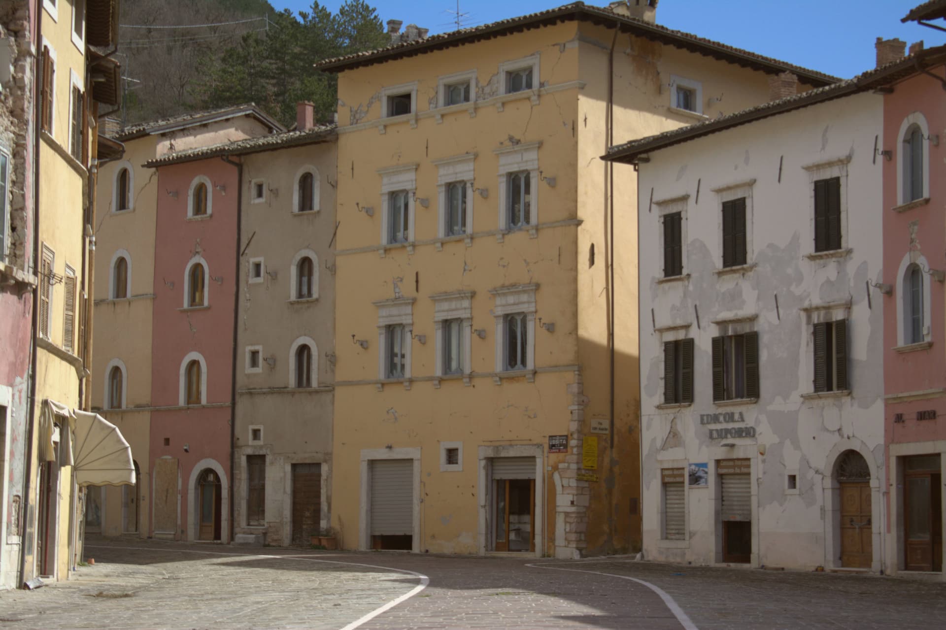 The prettiest villages in the province of Macerata9 towns, San Ginesio among them.
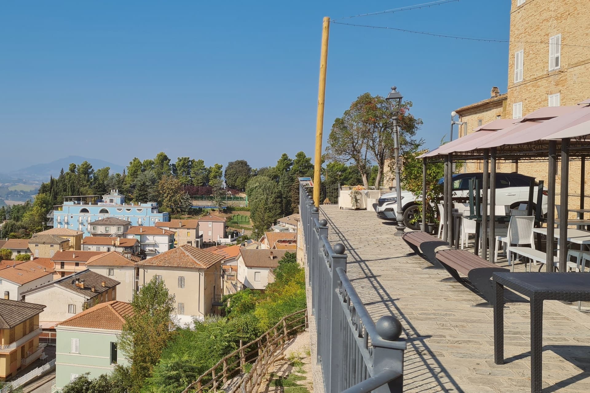 The prettiest villages with a food festival in Marche10 towns, San Ginesio among them.
How to get there
From Ancona / Pescara (AOI), about 1h 22m by car.
Rimini (RMI) is about 2h 25m away.
By car from the centre of Ancona 1h 17m, Perugia 1h 28m or Pescara 2 hours.
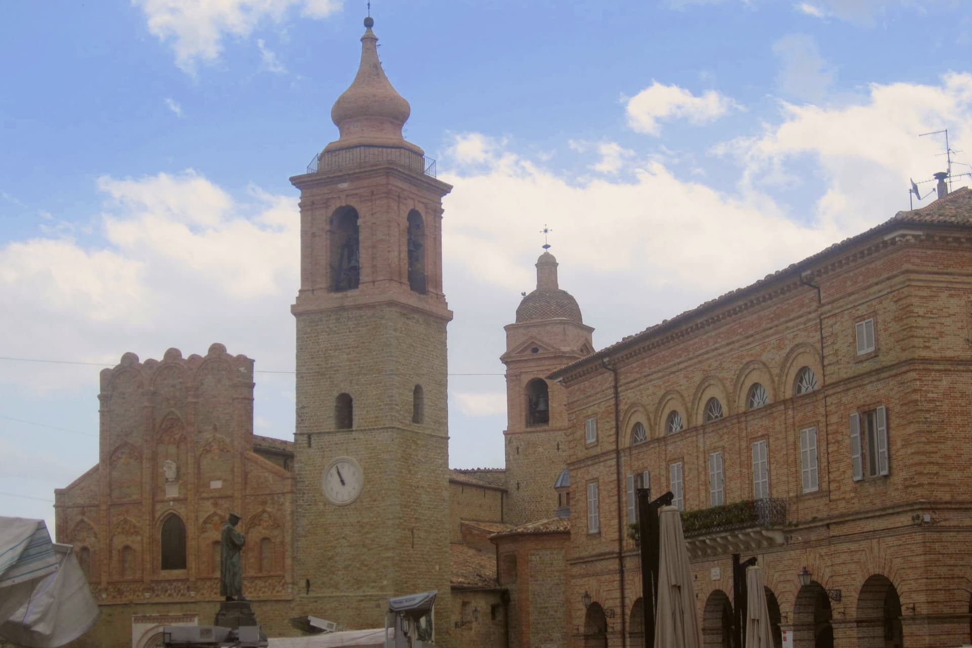
Coming by train into Perugia? San Ginesio is about 1h 27m away by road.
What to see
Collegiata della Santissima Annunziata
Fourteenth-century brick facade holds a Bernardino di Mariotto altarpiece inside. The building anchors one side of the square it faces.
Ospedale dei Pellegrini
Sandstone columns with leaf capitals support the lower portico, an example of domus hospitales built along the pilgrim road. The brick loggia added above sits a century and a half later than the ground floor.
Piazza Gentili
Central piazza of the centro storico, anchored by the Collegiata, the Palazzo del Comune and the Ospedale dei Pellegrini.
Balcony of the Sibillini
Panorama from the walls running from the Conero across Monte Vettore, Cima del Redentore and Monte Sibilla to Monte Ascensione and the Gran Sasso.
Parco Nazionale dei Monti Sibillini
The commune territory extends into the Sibillini park, with trails climbing from the western frazioni toward the high pastures and Monte Vettore.
The slow-trip planner
Building a trip? Find where San Ginesio fits in a slow Italy circuit.
Answer five questions. We will shape a geographically coherent slow trip from the 1,000 Italian towns most travelers skip. Yours to save and share.
Through the year
What happens here
Feasts and festivals that come back year after year. We give the month rather than the date, because the date moves and the month rarely does. Check with the source before you plan a journey around one.
Fiera a San Liberatomarket
usually held in August. lemarche.it
Festa del Vinofood festival
usually held in September. lemarche.it
Festa dell'Addoloratapatron saint's feast
usually held in September. lemarche.it
Living here
- Population 3,089
- In-betweeni
- Pharmacy: none mapped
- High school within a 30-minute drive
- Nearest airport Ancona / Pescara, 1 h 22 min drive
- Regional capital Ancona, 1 h 17 min drive
Common questions
- What is San Ginesio known for?
- San Ginesio is the Balcony of the Sibillini at 680 meters, where a 1295 pilgrim hospital and the only flowery gothic collegiate church in the Marche stand within the same walls.
- Where is San Ginesio?
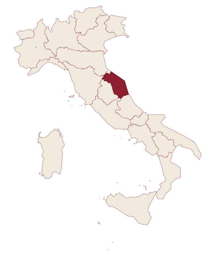
- San Ginesio is a comune in the province of Macerata, in Marche.
- What is the nearest airport to San Ginesio?
- Ancona / Pescara (AOI), about 1h 22m by car.
- How long is the drive from Ancona to San Ginesio?
- About 1h 17m by car.
- When is the best time to visit San Ginesio?
- Best in May–Oct. July is the warmest month, averaging 29 degrees, and May the wettest, with about 15 rain days.
- Is there a sagra or a festival in San Ginesio?
- Yes. Fiera a San Liberato, Festa del Vino and Festa dell'Addolorata. August is when the first of them falls.
- Which other towns are like San Ginesio?
- Camerino, Gesualdo and Morcone.
- How many people live in San Ginesio?
- 3,089 at the 2023 count.
Tags & datadesignations · numbers · sources
The numbers
- Elevation: 680 m
- Population: 3,089
- Surface area: 78.02 km²
These figures were compiled from public directories: ISTAT, OpenStreetMap and Wikidata, and from the official listings of the guides named on this page. Town details change; verify with official sources before you travel.
Similar
Towns like San Ginesio
Camerino
Province: Macerata
both mountain-valley towns · both between 3,000 and 10,000 people
Gesualdo
Province: Avellino
both mountain-valley towns · both between 3,000 and 10,000 people
Morcone
Province: Benevento
both mountain-valley towns · both between 3,000 and 10,000 people
Carsoli
Province: L'Aquila
both mountain-valley towns · both between 3,000 and 10,000 people
Piana degli Albanesi
Province: Palermo
both mountain-valley towns · both between 3,000 and 10,000 people
Gizzeria
Province: Catanzaro
both mountain-valley towns · both between 3,000 and 10,000 people
🎨 Borghi più belli d'Italia
More Borghi più belli d'Italia towns in Marche
Arcevia
Province: Ancona
A hilltop borgo at 535 meters above the Misa and Nevola valleys, defended in the Middle Ages by a ring of nine satellite castles.
Cingoli
Province: Macerata
The Balcone delle Marche at 631 meters, a hilltop borgo where on clear days the view runs from the Sibillini to the Croatian coast.
Corinaldo
Province: Ancona
A walled hill borgo at 203 meters, ringed by 912 meters of intact medieval walls, and the birthplace of Saint Maria Goretti.
Esanatoglia
Province: Macerata
A medieval village of seven bell towers at 358 meters on the Marche-Umbria border, sitting at the source of the Esino river.
Fermo
Province: Fermo
The provincial capital on the Sabulo hill at 319 meters, with 2,200 square meters of Augustan Roman cisterns running under the centro storico.