
Campania · Salerno
Camerota
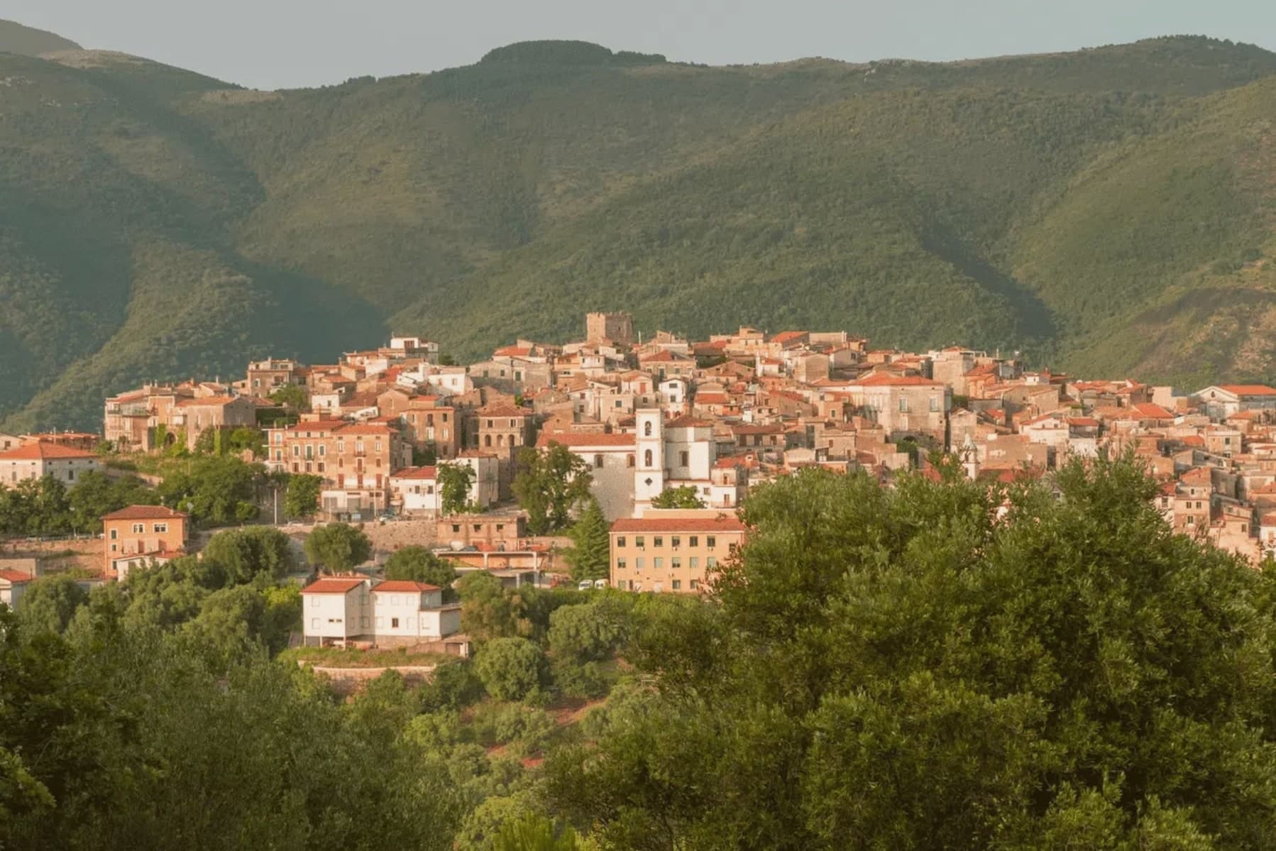
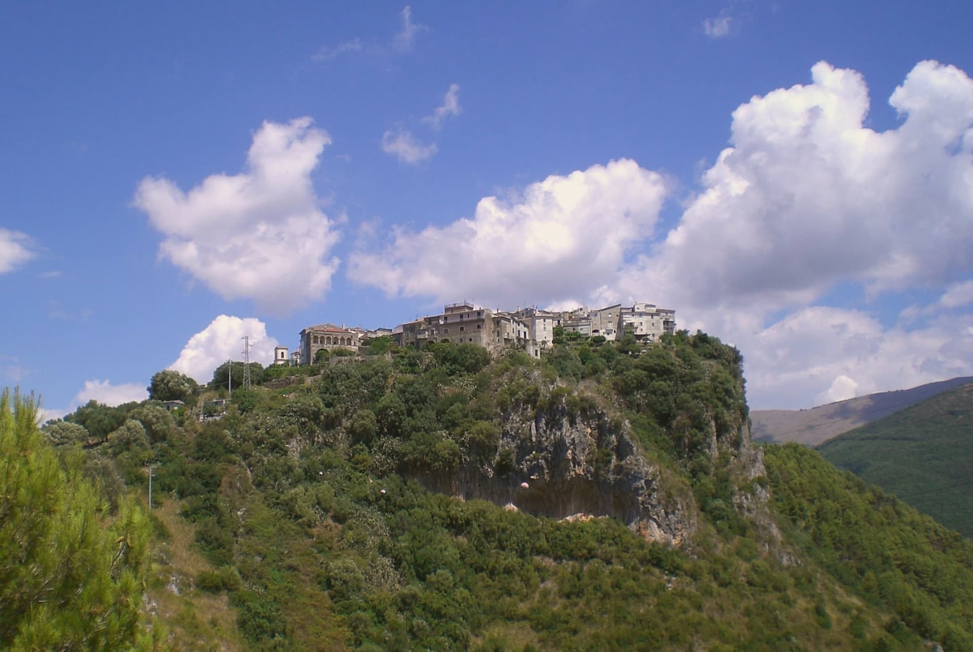
A Cilento hill town of 422 meters above the Costa degli Infreschi, its caves holding one of the longest prehistoric stratigraphies on the southern Tyrrhenian.
- Best time
- May–Sep
- By car
- 2 h 10 min from Salerno
- Population
- 6,875
Known for
PREHISTORIC CAVES
Marina di Camerota cave system with Neanderthal and early modern human stratigraphy from the late Middle Palaeolithic to the Chalcolithic, excavated since the 1950s.
COSTA DEGLI INFRESCHI
Protected marine area with freshwater springs feeding cold pools into the Tyrrhenian, accessible by foot or by boat from the Marina.
BANDIERA BLU
Blue Flag water quality at Marina di Camerota, with sandy and pebbled coves inside the Cilento national park boundary.
When to visit
Best · May–Sep
- J11°
- F12°
- M13°
- A16°
- M21°
- J25°
- J28°
- A28°
- S25°
- O20°
- N16°
- D12°
- Best
- Hot or crowded
- Quiet
- Mostly closed
Daytime averages, 2020–2024. The sea is warmest in August at 28° and coldest in February at 15°. Weather data by Open-Meteo.com.
The festa: Vincenzo Ferreri, second Sunday of July
Why come
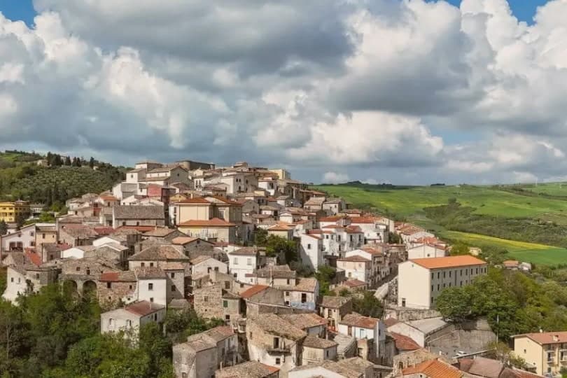
Camerota's hilltop sits six kilometres inland from its own marina, with two further hamlets, Lentiscosa and Licusati, scattered between the summit and the sea, so the town is really four settlements bound to one name rather than a single center. That name probably comes from the Greek kamaròtos, curved, after the limestone arches worked into the coast below. The hill above stays a medieval center, nearly empty through winter and full in August, its slopes also carrying Cilento DOP olive oil down toward the water.
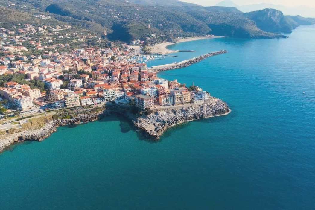
The coast beneath it is a different register entirely: fishing village, protected marine reserve, and a run of sea caves whose excavated layers reach back through the Chalcolithic to Neanderthal occupation, among the longest such sequences on the Tyrrhenian. What holds the two together is the geography itself, a limestone hill giving its shape to both the arches that named it and the caves that preserved what lived along its shore.
The Sunday letter
Camerota is on our list. Its letter is still to come.
We are writing about all 1,000 of these towns, one at a time, in a free letter every Sunday: the photo, the food, the festa. That is our mission. Sign up and you will be there when Camerota comes up. By Peter & Sophia, from Pietrasanta.
Read on
Camerota in our articles
How to get there
From Naples / Salerno (NAP), about 3 hours by car.
Lamezia / Reggio (SUF) is about 3h 47m away.
By car from the centre of Salerno 2h 10m, Naples 3 hours or Bari 4 hours.
What to see
Grotte di Marina di Camerota
Grotta della Cala and Grotta di San Biagio sit cut into the sea cliffs, reached along the coast rather than from the hilltop, the caves themselves unassuming from outside despite what has come out of them.
Costa degli Infreschi e della Masseta
The marine area runs between the Marina and Scario, cold freshwater surfacing straight into the sea, a stretch reachable only on foot or by boat, with no road running along it.
Castello Marchesale di Camerota
Norman in origin, remodelled under the Marchesi, standing on the highest point of the town with the Gulf of Policastro laid out below.
Centro storico di Camerota
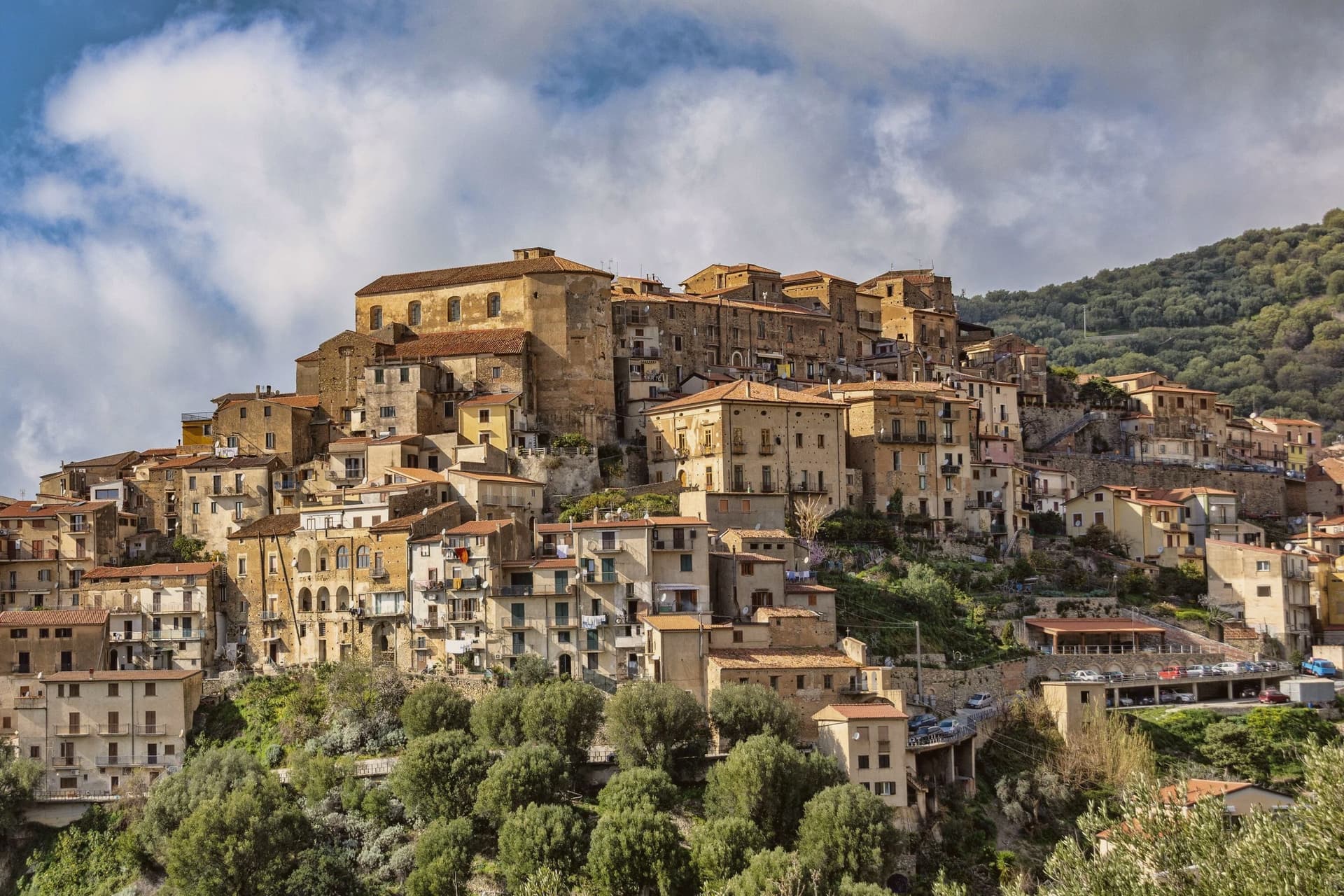
Stone alleys wrap the castle at the hill's summit, alongside the eighteenth-century mother church, in a town still organized around four hamlets rather than one center.
Cilento, Vallo di Diano e Alburni National Park
The Bulgheria massif rises behind the town, part of a UNESCO Mediterranean Diet biosphere reserve that stretches from that inland ridge down to the protected coastline.
The slow-trip planner
Building a trip? Find where Camerota fits in a slow Italy circuit.
Answer five questions. We will shape a geographically coherent slow trip from the 1,000 Italian towns most travelers skip. Yours to save and share.
Through the year
What happens here
Feasts and festivals that come back year after year. We give the month rather than the date, because the date moves and the month rarely does. Check with the source before you plan a journey around one.
Gusto Italiafood festival
usually held in August. Viaggi e Sagre
Living here
- Population 6,875
- Very remotei
- Pharmacy in town
- Nearest high school over ~30 minutes away
- Nearest airport Naples / Salerno, 2 h 54 min drive
- Regional capital Napoli, 2 h 54 min drive
Common questions
- What is Camerota known for?
- Camerota is a Cilento hill town of 422 meters above the Costa degli Infreschi, its caves holding one of the longest prehistoric stratigraphies on the southern Tyrrhenian.
- Where is Camerota?
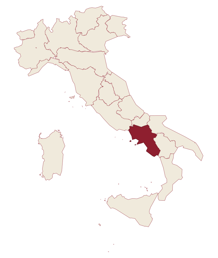
- Camerota is a comune in the province of Salerno, in Campania.
- What is the nearest airport to Camerota?
- Naples / Salerno (NAP), about 3 hours by car.
- How long is the drive from Salerno to Camerota?
- About 2h 10m by car.
- When is the best time to visit Camerota?
- Best in May–Sep. July is the warmest month, averaging 28 degrees, and November the wettest, with about 14 rain days.
- Is there a sagra or a festival in Camerota?
- Yes. Gusto Italia. August is when the first of them falls.
- Which other towns are like Camerota?
- Centola, Ascea and Maratea.
- How many people live in Camerota?
- 6,875 at the 2023 count.
Tags & datadesignations · numbers · sources
Recognised as
The numbers
- Elevation: 422 m
- Population: 6,875
- Surface area: 70.58 km²
These figures were compiled from public directories: ISTAT, OpenStreetMap and Wikidata, and from the official listings of the guides named on this page. Town details change; verify with official sources before you travel.
Similar
Towns like Camerota
Centola
Province: Salerno
both on the Tyrrhenian coast · both between 3,000 and 10,000 people
Ascea
Province: Salerno
both on the Tyrrhenian coast · both between 3,000 and 10,000 people
Maratea
Province: Potenza
both on the Tyrrhenian coast · both between 3,000 and 10,000 people
Castellabate
Province: Salerno
both on the Tyrrhenian coast · both between 3,000 and 10,000 people
Tramonti
Province: Salerno
both on the Tyrrhenian coast · both between 3,000 and 10,000 people
Capalbio
Province: Grosseto
both on the Tyrrhenian coast · both between 3,000 and 10,000 people
🟦 Bandiera Blu
More Bandiera Blu towns in Campania
Agropoli
Province: Salerno
The gateway commune of the Cilento, a Byzantine acropolis on a promontory taken by the Saracens in 882 as a base for raids on Salerno.
Anacapri
Province: Napoli
The upper half of Capri, 150 meters above its famous twin.
Ascea
Province: Salerno
Two villages, a hilltown at 230 meters and a Cilento marina, with Parmenides and Zeno's Eleatic school in the ruins of Greek Velia below.
Castellabate
Province: Salerno
A hilltown on a 280-meter Cilento ridge, with a Bandiera Blu beach below and the Benvenuti al Sud film.
Centola
Province: Salerno
A Cilento hill village at 336 meters whose seaside frazione carries the name of Aeneas' helmsman.