
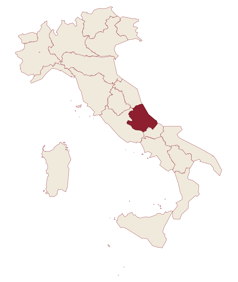
Abruzzo · L'Aquila
Roccaraso
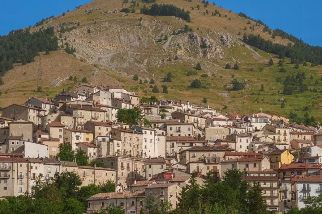
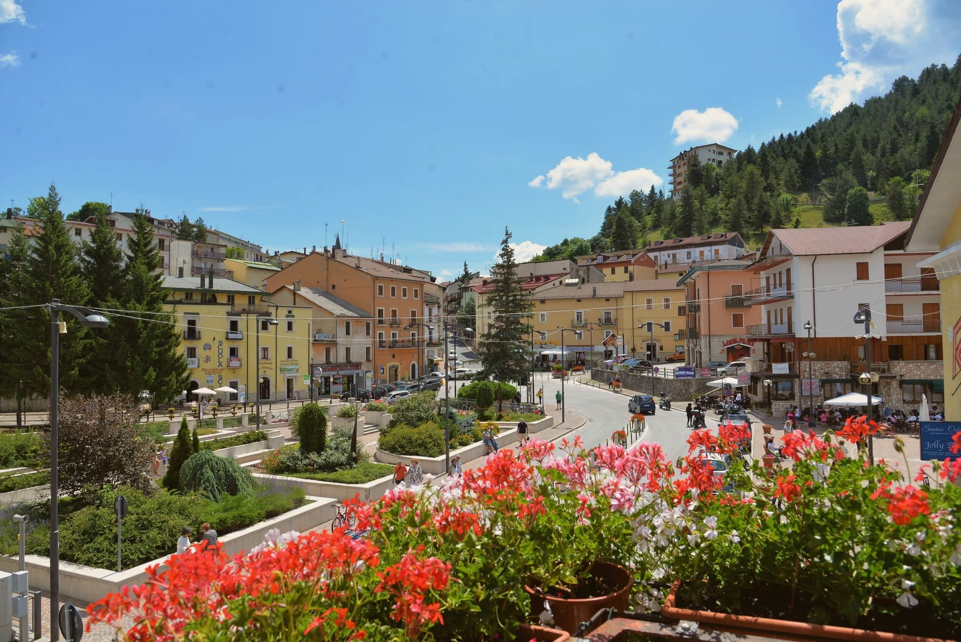
At 1,236 meters, the south of Italy's largest ski resort, leveled in 1943 and rebuilt from rubble.
- Best time
- Jun–Sep, Dec–Mar
- By car
- 1 h 34 min from Pescara
- By train
- Station in the comune
- Population
- 1,486
Known for
ALTO SANGRO
160 km of slopes and 36 lifts shared with Rivisondoli, the largest ski area in central and southern Italy.
GUSTAV LINE
Leveled by Allied bombing in 1943 when the German defensive line cut through town; rebuilt entirely after the war.
PIETRANSIERI
The frazione 4 km uphill awarded the Gold Medal of Military Valour for civilian sacrifices during the 1943-44 winter.
When to visit
Best · Jun–Sep, Dec–Mar
- J5°
- F8°
- M8°
- A11°
- M16°
- J21°
- J25°
- A24°
- S20°
- O16°
- N10°
- D7°
- Best
- Hot or crowded
- Quiet
- Mostly closed
Daytime averages, 2020–2024. Weather data by Open-Meteo.com.
Why come
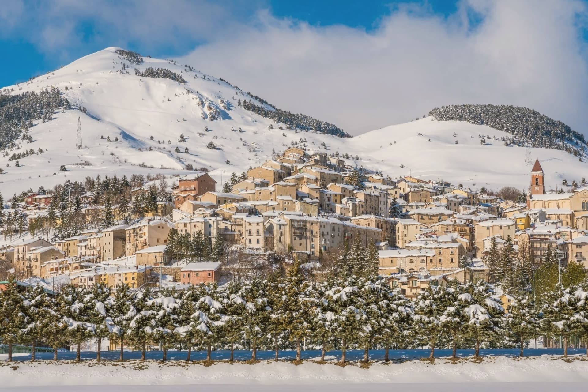
The town sits where the plateaus of Aremogna and Pizzalto meet the higher ground toward Monte Greco, the peak that anchors the whole range at 2,283 meters. The two plateaus are joined by lift, grazed and hiked in summer, cut into pistes in winter: the same trails serve both seasons under different cover. Four kilometers uphill sits the older, smaller settlement, a medieval frazione that took the weight of the war the valley town below did not escape either.
The Germans dug into the Gustav Line where it crossed through here, the Allies bombed in response, and the town below was leveled along with it. What stands in Roccaraso now was rebuilt after that, stone by stone, from what the bombing left. The first ski lift on Monte Zurrone went up in 1936, years before any of it, and skiing resumed after the rebuilding and never really stopped.
The area has held its place as the south's ski capital since, though the snow line keeps rising: in January 2024 only twenty of Abruzzo's 122 pistes were open. A resort built twice, once by engineers before the war and once by survivors after it, still runs on the same slopes either way.
The Sunday letter
Roccaraso is on our list. Its letter is still to come.
We are writing about all 1,000 of these towns, one at a time, in a free letter every Sunday: the photo, the food, the festa. That is our mission. Sign up and you will be there when Roccaraso comes up. By Peter & Sophia, from Pietrasanta.
Read on
Roccaraso in our articles
 The 6 best small towns that eat well in the province of L'Aquila6 towns, Roccaraso among them.
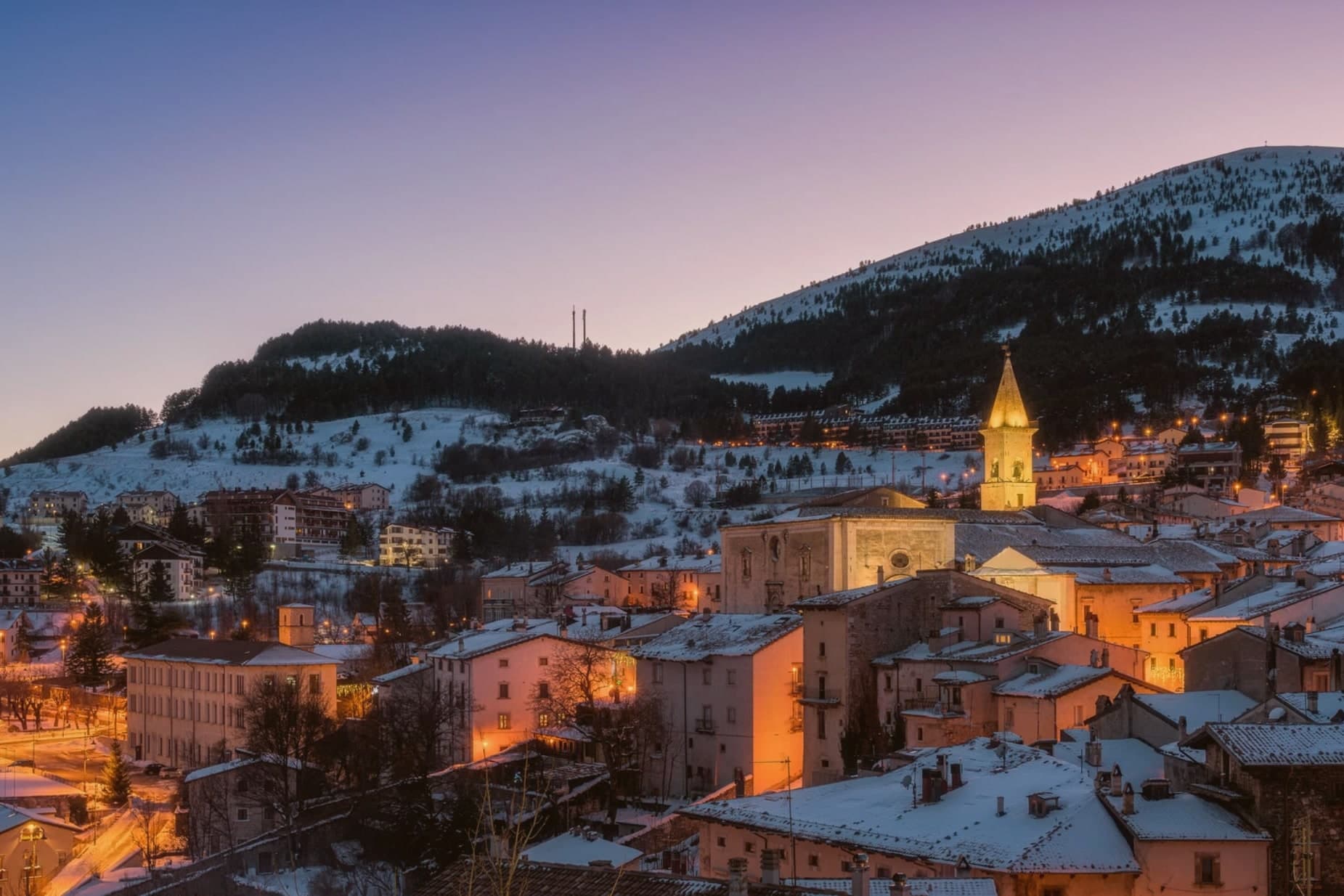 The best hidden towns with a serious restaurant in the province of L'Aquila6 towns, Roccaraso among them.
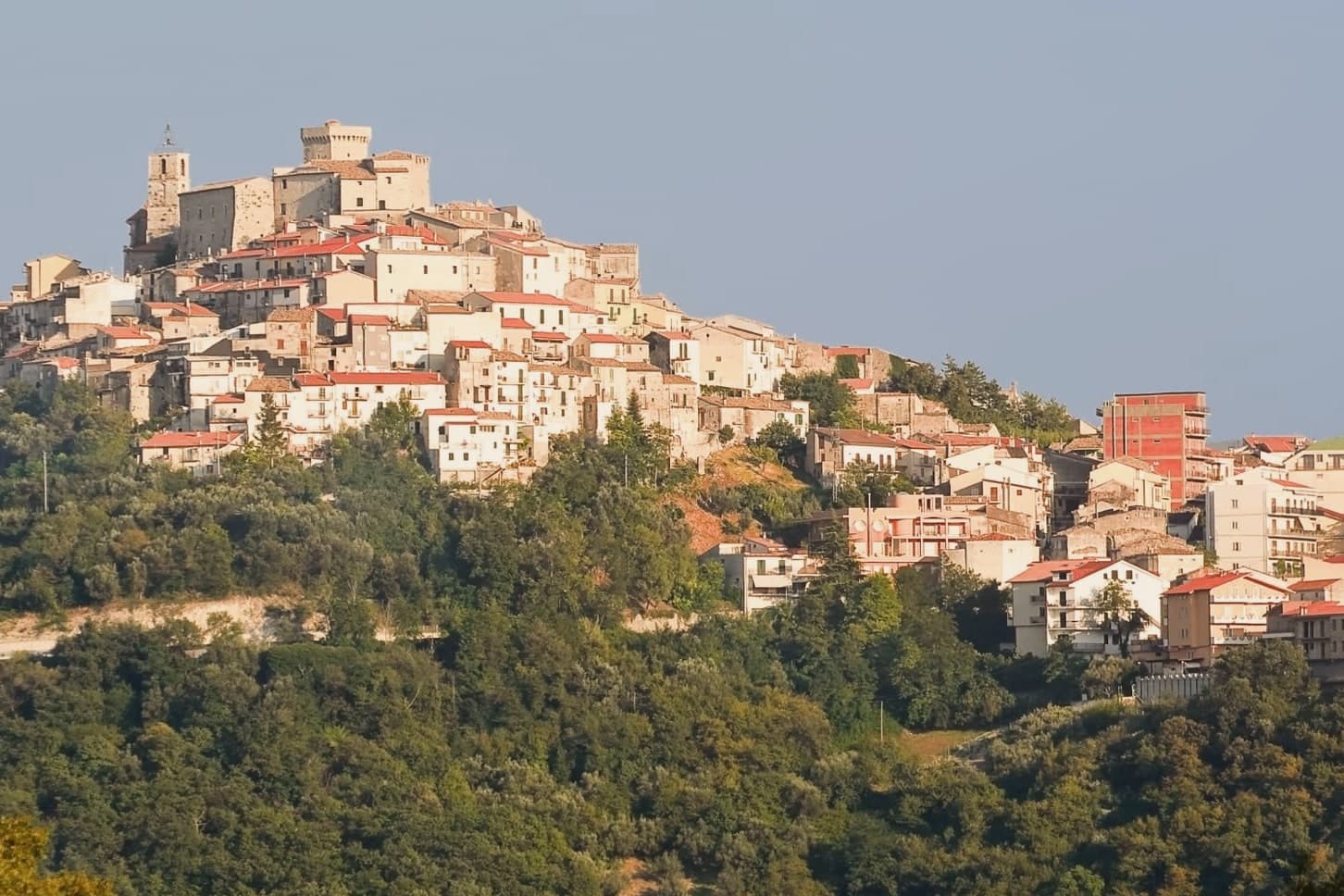 The best hidden towns you can reach by train that have a serious restaurant in Abruzzo6 towns, Roccaraso among them.
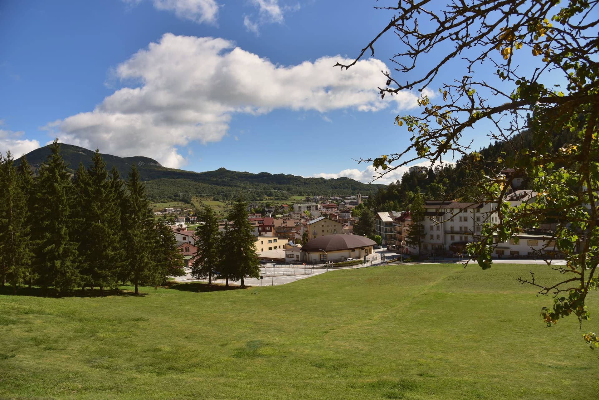
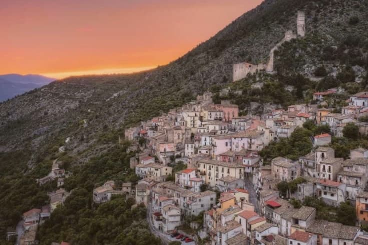 The best towns you can reach by train that sit inside a national park in Abruzzo8 towns, Roccaraso among them.
What to see
Chiesa di Santa Maria Assunta
Baroque travertine façade, gilded walnut pulpit in the shape of a Greek cross, painted and gilded wooden organs.
Pietransieri
Medieval frazione where the Limmari Massacre took place; the Gold Medal of Military Valour recognizes what its people lost that winter.
Piano Aremogna
High pasture and ski terrain at 1,650 meters, the eastern flank of the Alto Sangro ski domain.
Pizzalto
Second major ski plateau, connected to Aremogna by lift, used for summer hiking and grazing in the warm months.
Monte Greco
At 2,283 meters, the highest peak in the surrounding range and the geographical anchor of the ski area.
Chiesa di San Rocco
Small votive church dedicated to the town's patron, traditionally invoked against plague.
The slow-trip planner
Building a trip? Find where Roccaraso fits in a slow Italy circuit.
Answer five questions. We will shape a geographically coherent slow trip from the 1,000 Italian towns most travelers skip. Yours to save and share.
We recommend
Where to eat
Not our picks, but places the guides put their name to: a Michelin star, a Gambero Rosso fork, a Slow Food snail, a Michelin Key for the hotels. Worth a table, a counter, or a night when you pass through.
ChichibioRistorante
Two Gambero Rosso forks (81/100) for Chichibio, along with a place in L'Espresso's Top 300 and a spot in the Michelin Guide.
Living here
- Population 1,486
- Very remotei
- Pharmacy in town
- High school within a 30-minute drive
- Train station in the comune
- Nearest airport Naples / Salerno, 2 h 13 min drive
- Regional capital L'Aquila, 1 h 49 min drive
Common questions
- What is Roccaraso known for?
- At 1,236 meters, the south of Italy's largest ski resort, leveled in 1943 and rebuilt from rubble.
- Where is Roccaraso?
- Roccaraso is a comune in the province of L'Aquila, in Abruzzo, at 1236 meters above sea level.
- What is the nearest airport to Roccaraso?
- Naples / Salerno (NAP), about 2h 13m by car.
- Can you get to Roccaraso without a car?
- Yes. There is a railway station in the comune, so you can arrive by train.
- How long is the drive from Pescara to Roccaraso?
- About 1h 34m by car.
- When is the best time to visit Roccaraso?
- Best in Jun–Sep, Dec–Mar. July is the warmest month, averaging 25 degrees, and May the wettest, with about 16 rain days.
- Which other towns are like Roccaraso?
- Pescocostanzo, Limone Piemonte and Petralia Sottana.
- How many people live in Roccaraso?
- 1,486 at the 2023 count.
Tags & datadesignations · numbers · sources
Recognised as
The numbers
- Elevation: 1236 m
- Population: 1,486
- Surface area: 49.91 km²
These figures were compiled from public directories: ISTAT, OpenStreetMap and Wikidata, and from the official listings of the guides named on this page. Town details change; verify with official sources before you travel.
Similar
Towns like Roccaraso
Pescocostanzo
Province: L'Aquila
both high in the mountains · both under 3,000 people
Limone Piemonte
Province: Cuneo
both high in the mountains · both under 3,000 people
Petralia Sottana
Province: Palermo
both high in the mountains · both under 3,000 people
Sappada
Province: Udine
both high in the mountains · both under 3,000 people
Ponte di Legno
Province: Brescia
both high in the mountains · both under 3,000 people
Abetone Cutigliano
Province: Pistoia
both high in the mountains · both under 3,000 people
🌲 Parco Nazionale
More Parco Nazionale towns in Abruzzo
Alfedena
Province: L'Aquila
At 914 meters at the head of the upper Sangro valley, the Samnite Aufidena, with a 15,000-tomb necropolis and a Roman conquest in 298 BC.
Barrea
Province: L'Aquila
A 1,066-meter spur above an artificial lake at the heart of the Abruzzo National Park, with a Samnite necropolis and an 11th-century di Sangro castle.
Calascio
Province: L'Aquila
A village of 125 people under the highest castle in the Apennines, cast as the monk's refuge in Ladyhawke.
Campli
Province: Teramo
A 393-meter town under the Monti della Laga, held by the Farnese for two centuries, with a Scala Santa carrying papal indulgence.
Campo di Giove
Province: L'Aquila
At 1,064 meters under the southwestern Maiella, the highest village in the park, named for a Roman temple to Jupiter.