
Lazio · Frosinone
Picinisco
A medieval village at 725 meters on the eastern edge of Lazio, the source of much of Italo-Scottish emigration.
- Best time
- May–Oct
- By car
- 2 h from Naples
- Population
- 1,098
Known for
PECORINO DI PICINISCO
Raw-milk sheep cheese with DOP status since 2013, made on the Mainarde pastures above the village.
THE SCOTTISH PIPELINE
Together with Barga, the main source of Italian emigration to Scotland from the 1880s through the 20th century.
D.H. LAWRENCE
Stayed above the village in 1919 and used Picinisco as the setting for the final chapters of The Lost Girl.
When to visit
Best · May–Oct
- J8°
- F10°
- M11°
- A14°
- M19°
- J25°
- J29°
- A28°
- S23°
- O18°
- N13°
- D10°
- Best
- Hot or crowded
- Quiet
- Mostly closed
Daytime averages, 2020–2024. Weather data by Open-Meteo.com.
The festa: San Lorenzo, 10 August
Why come
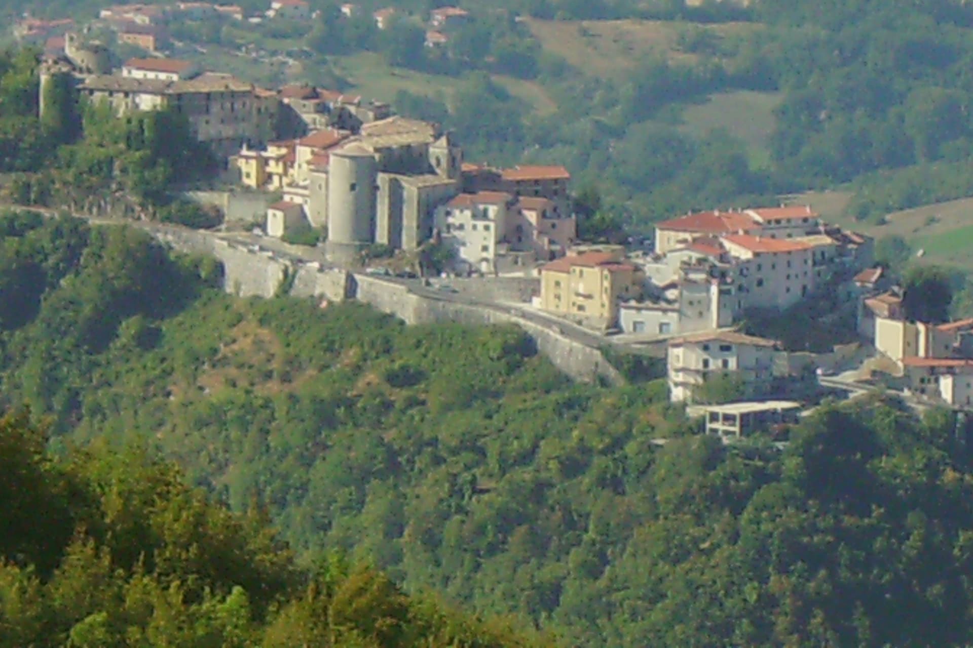
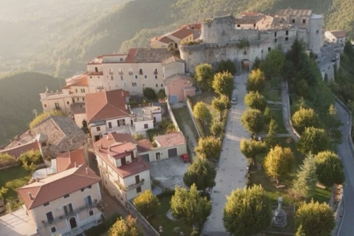
Picinisco occupies a fortified spur inside the Parco Nazionale d'Abruzzo, Lazio e Molise, looking down on the Val di Comino below. The village itself divides along the slope: a lower piazza gives onto the narrow streets of the centro storico, which climb toward the castle ruins at the top, the point originally built to hold the eastern approach to the valley. The parish church sits higher up, its baroque interior resting on medieval foundations, a layering repeated in the castle and the streets around it.
The food still defines the place. Pecorino di Picinisco DOP comes from raw sheep milk produced on the pastures above the village, and the valley also holds Maturano, a white grape almost extinct before the I Ciacca winery, founded by returning Scots-Italians, restarted it. That last detail closes a loop that runs through the whole town: the same families who left for Glasgow and Edinburgh through the last century are the ones who came back to put the valley's own wine back into production.
The Sunday letter
Picinisco is on our list. Its letter is still to come.
We are writing about all 1,000 of these towns, one at a time, in a free letter every Sunday: the photo, the food, the festa. That is our mission. Sign up and you will be there when Picinisco comes up. By Peter & Sophia, from Pietrasanta.
Read on
Picinisco in our articles
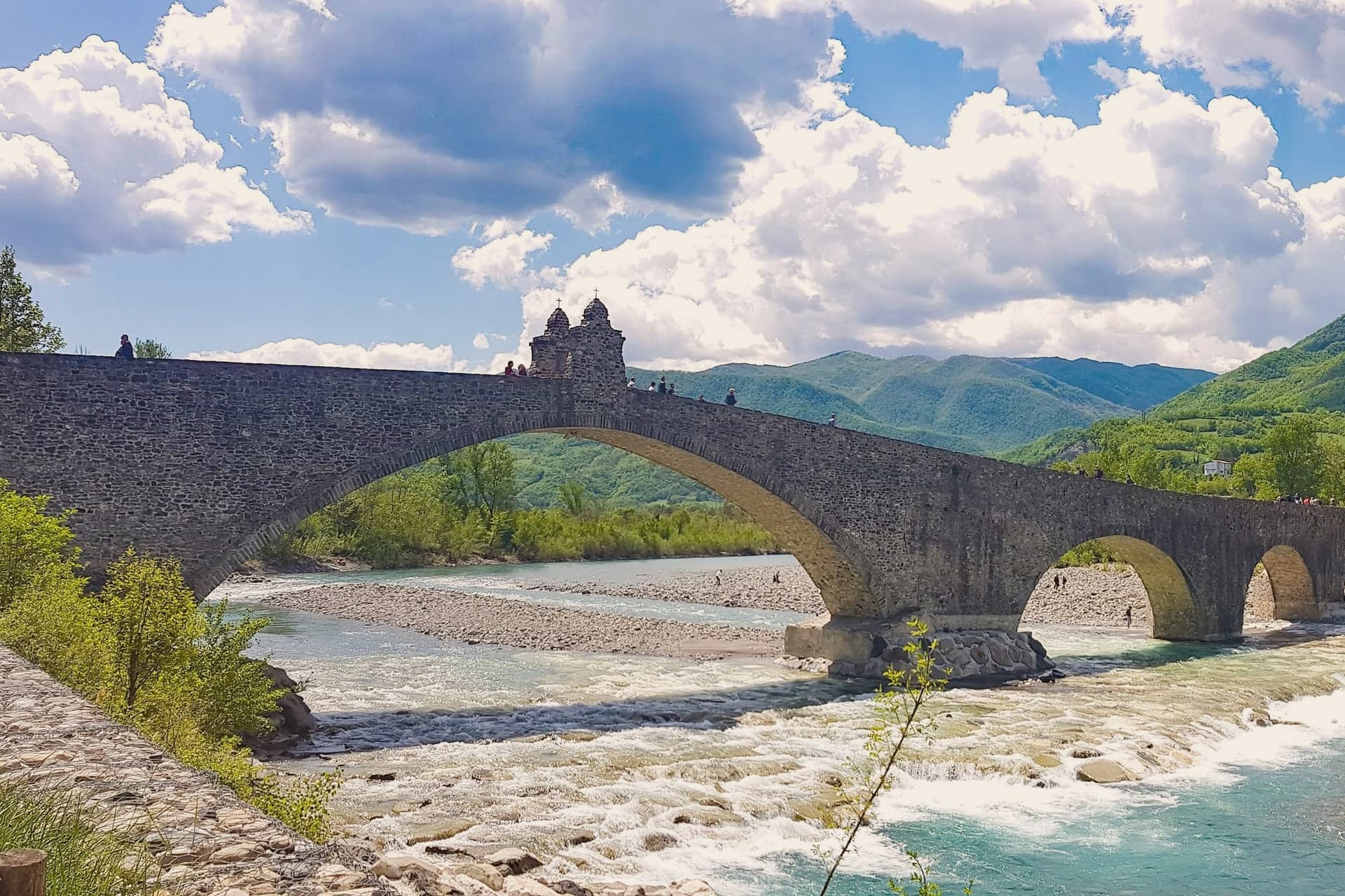
 The best mountain towns in Lazio9 towns, Picinisco among them.
 Every ski town in our catalogue, all of them97 towns, Picinisco among them.
 Every town in our catalogue inside a national park151 towns, Picinisco among them.
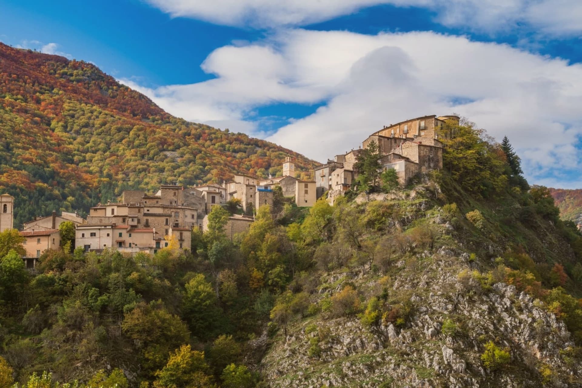 The best small mountain towns in Italy above 500 metres, all of them213 towns, Picinisco among them.
How to get there
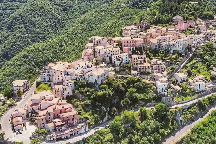
From Naples / Salerno (NAP), about 2 hours by car.
Rome (FCO) is about 3 hours away.
By car from the centre of Naples 2 hours or Salerno 2h 28m.
What to see
Castello medievale
Ruined medieval castle on the highest point of the village, built to control the eastern access to the Val di Comino.
Centro storico
Fortified medieval village, narrow stone streets climbing from the lower piazza toward the castle.
Chiesa di San Lorenzo
Parish church in the upper village, baroque interior on medieval foundations.
Parco Nazionale d'Abruzzo, Lazio e Molise
Italy's second-oldest national park, with trails leading from the village into the Mainarde range and toward Forca d'Acero.
Pastures of Prati di Mezzo
High summer pastures above the village at 1,500 meters, the source area for Pecorino di Picinisco DOP.
The slow-trip planner
Building a trip? Find where Picinisco fits in a slow Italy circuit.
Answer five questions. We will shape a geographically coherent slow trip from the 1,000 Italian towns most travelers skip. Yours to save and share.
We recommend
Where to eat
Not our picks, but places the guides put their name to: a Michelin star, a Gambero Rosso fork, a Slow Food snail, a Michelin Key for the hotels. Worth a table, a counter, or a night when you pass through.
Villa IngleseRistorante
Villa Inglese has two Gambero Rosso forks (80/100) to its name.
Living here
- Population 1,098
- In-betweeni
- Pharmacy in town
- Nearest high school over ~30 minutes away
- Nearest airport Naples / Salerno, 1 h 59 min drive
- Regional capital Roma, 2 h 31 min drive
Common questions
- What is Picinisco known for?
- Picinisco is a medieval village at 725 meters on the eastern edge of Lazio, the source of much of Italo-Scottish emigration.
- Where is Picinisco?
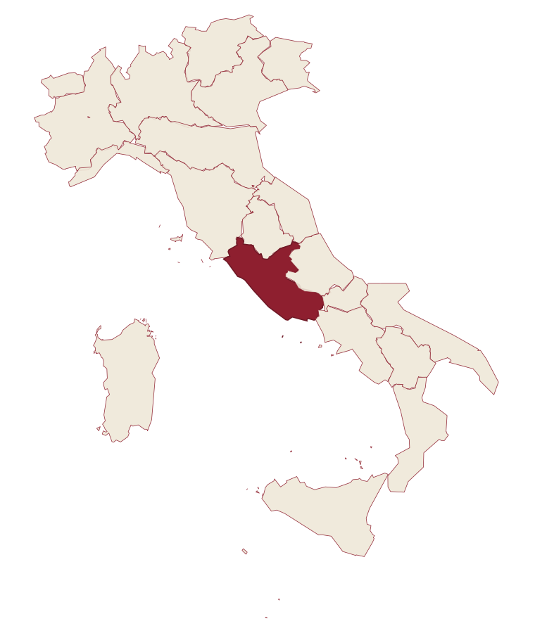
- Picinisco is a comune in the province of Frosinone, in Lazio.
- What is the nearest airport to Picinisco?
- Naples / Salerno (NAP), about 2 hours by car.
- How long is the drive from Naples to Picinisco?
- About 2 hours by car.
- When is the best time to visit Picinisco?
- Best in May–Oct. July is the warmest month, averaging 29 degrees, and May the wettest, with about 17 rain days.
- Is there a sagra or a festival in Picinisco?
- The town keeps its patron saint's day: San Lorenzo, 10 August.
- Which other towns are like Picinisco?
- San Donato Val di Comino, Frosolone and Fortezza.
- How many people live in Picinisco?
- 1,098 at the 2023 count.
Tags & datadesignations · numbers · sources
Recognised as
The numbers
- Elevation: 725 m
- Population: 1,098
- Surface area: 62.15 km²
These figures were compiled from public directories: ISTAT, OpenStreetMap and Wikidata, and from the official listings of the guides named on this page. Town details change; verify with official sources before you travel.
Similar
Towns like Picinisco
San Donato Val di Comino
Province: Frosinone
both mountain-valley towns · both under 3,000 people
Frosolone
Province: Isernia
both mountain-valley towns · both under 3,000 people
Fortezza
Province: Bolzano
both mountain-valley towns · both under 3,000 people
San Pancrazio
Province: Bolzano
both mountain-valley towns · both under 3,000 people
Caccuri
Province: Crotone
both mountain-valley towns · both under 3,000 people
Bleggio Superiore
Province: Trento
both mountain-valley towns · both under 3,000 people
🟠 Bandiera Arancione
More Bandiera Arancione towns in Lazio
Arpino
Province: Frosinone
The Volscian-Roman hill town in the Liri valley that produced Marius and Cicero, with a pre-Roman acropolis above the modern center.
Bassiano
Province: Latina
The highest village in the province of Latina at 562 meters, birthplace of Aldo Manuzio, who shrank the book to pocket size.
Bolsena
Province: Viterbo
A medieval town at 350 meters on the eastern shore of Europe's largest volcanic lake, where a Bohemian priest reported a Eucharistic miracle in 1263.
Bomarzo
Province: Viterbo
The Tuscia village below a garden built by a grieving condottiero for his dead wife, all stone monsters and no apology for it.
Calcata
Province: Viterbo
A tufa-cliff village forty kilometers north of Rome, condemned and abandoned in the 1930s, then occupied by artists and never left.