
Campania · Salerno
Castellabate
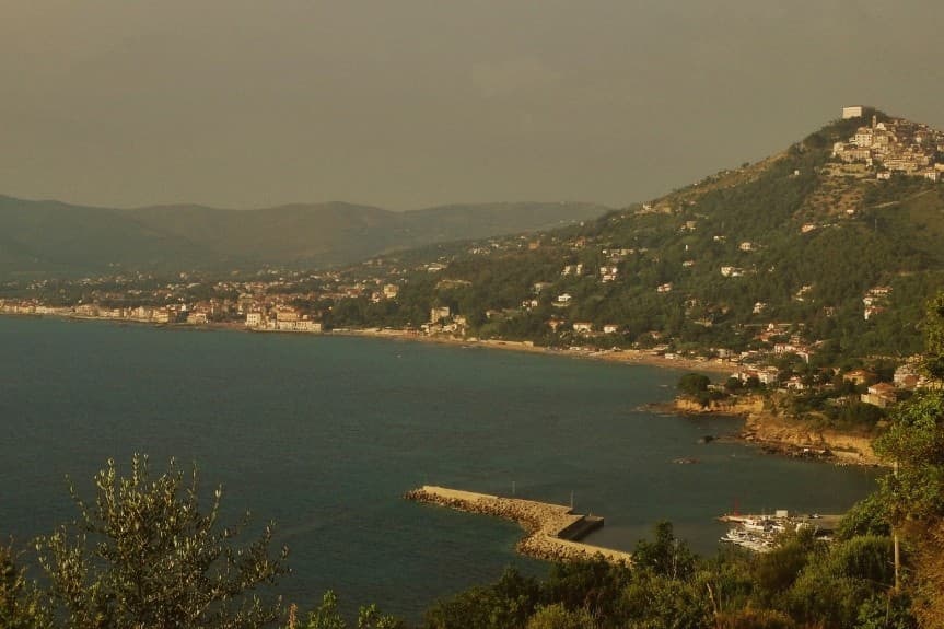
A hilltown on a 280-meter Cilento ridge, with a Bandiera Blu beach below and the Benvenuti al Sud film.
- Best time
- May–Sep
- By car
- 1 h 18 min from Salerno
- Population
- 8,677
Known for
ABBOT'S CASTLE
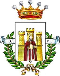
Castle built from 1123 by Saint Costabile Gentilcore, abbot of the Trinità della Cava, around which the hilltown grew and to which it owes its name.
BENVENUTI AL SUD
Setting of the 2010 Luca Miniero film that turned the village into a national reference for southern Italian hospitality and stereotype reversal.
BANDIERA BLU
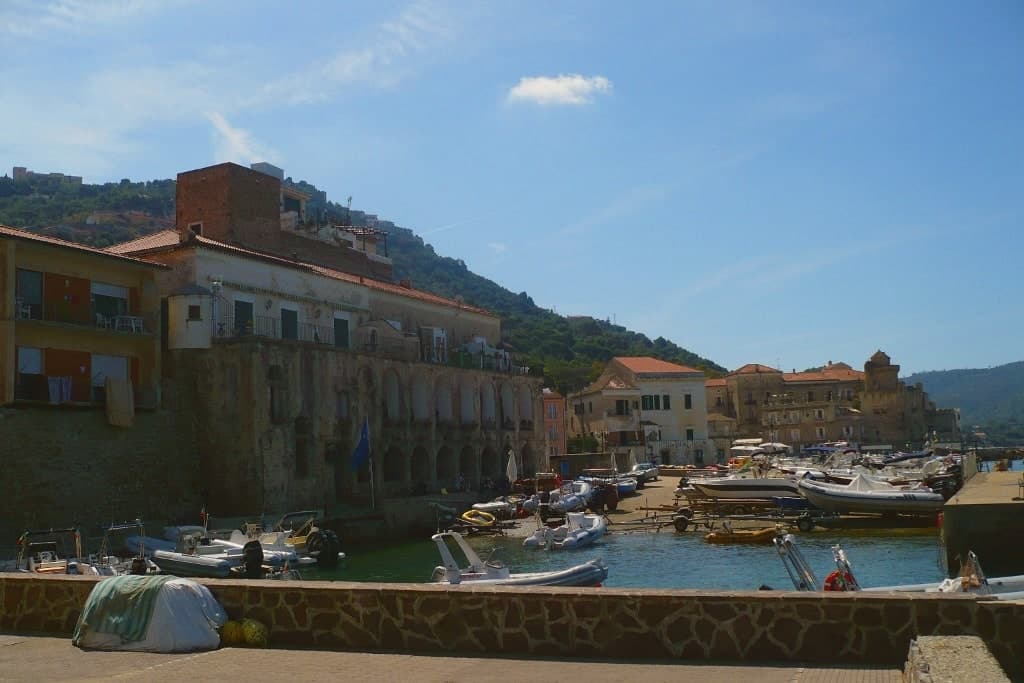
Blue Flag bay between Santa Maria and the promontory to the south, inside the Cilento protected marine area, with sand and clear water below the borgo.
When to visit
Best · May–Sep
- J12°
- F13°
- M14°
- A17°
- M21°
- J26°
- J30°
- A30°
- S26°
- O21°
- N17°
- D13°
- Best
- Hot or crowded
- Quiet
- Mostly closed
Daytime averages, 2020–2024. The sea is warmest in August at 28° and coldest in February at 15°. Weather data by Open-Meteo.com.
The festa: Costabile Gentilcore, 17 February
Why come
Castellabate sits on a Cilento ridge thirty kilometres south of Salerno, the hilltown above and the hamlets below strung along the same stretch of coast. Santa Maria, San Marco, Ogliastro Marina and Licosa run along the bay where the Saracens were defeated in 846 by a coalition of Naples, Amalfi, Sorrento and Gaeta, long before the castle on the ridge was ever built. The abbey that gave the hilltown its name lay inland from this shoreline history, so the place carries two separate pasts: a coastal one tied to the ninth-century battle, and an upland one tied to the twelfth-century abbot's foundation.
The commune today counts about nine thousand residents and holds together as a Bandiera Blu community inside the Cilento, Vallo di Diano and Alburni National Park, with the promontory to the south marking the edge of the protected marine area. The borgo above keeps the stone and the views, the hamlets below keep the bay and the beaches, and the two halves of Castellabate read less as a single town than as an upper and lower settlement joined by the ridge between them.
The Sunday letter
Castellabate is on our list. Its letter is still to come.
We are writing about all 1,000 of these towns, one at a time, in a free letter every Sunday: the photo, the food, the festa. That is our mission. Sign up and you will be there when Castellabate comes up. By Peter & Sophia, from Pietrasanta.
Read on
Castellabate in our articles
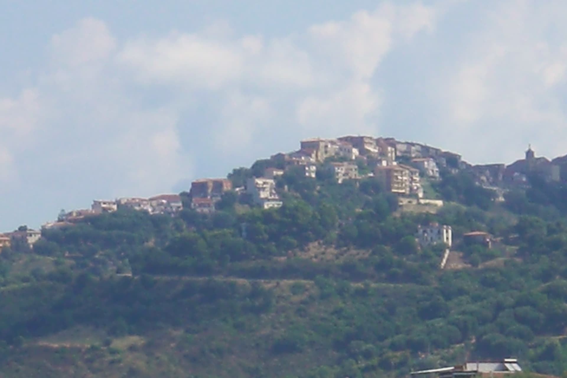
 The best beach towns in the province of Salerno7 towns, Castellabate among them.
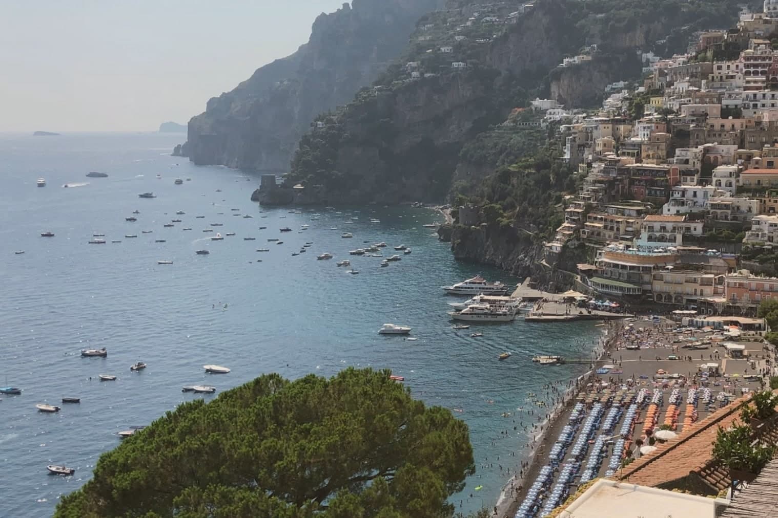
 The best coastal towns inside a national park in Campania9 towns, Castellabate among them.
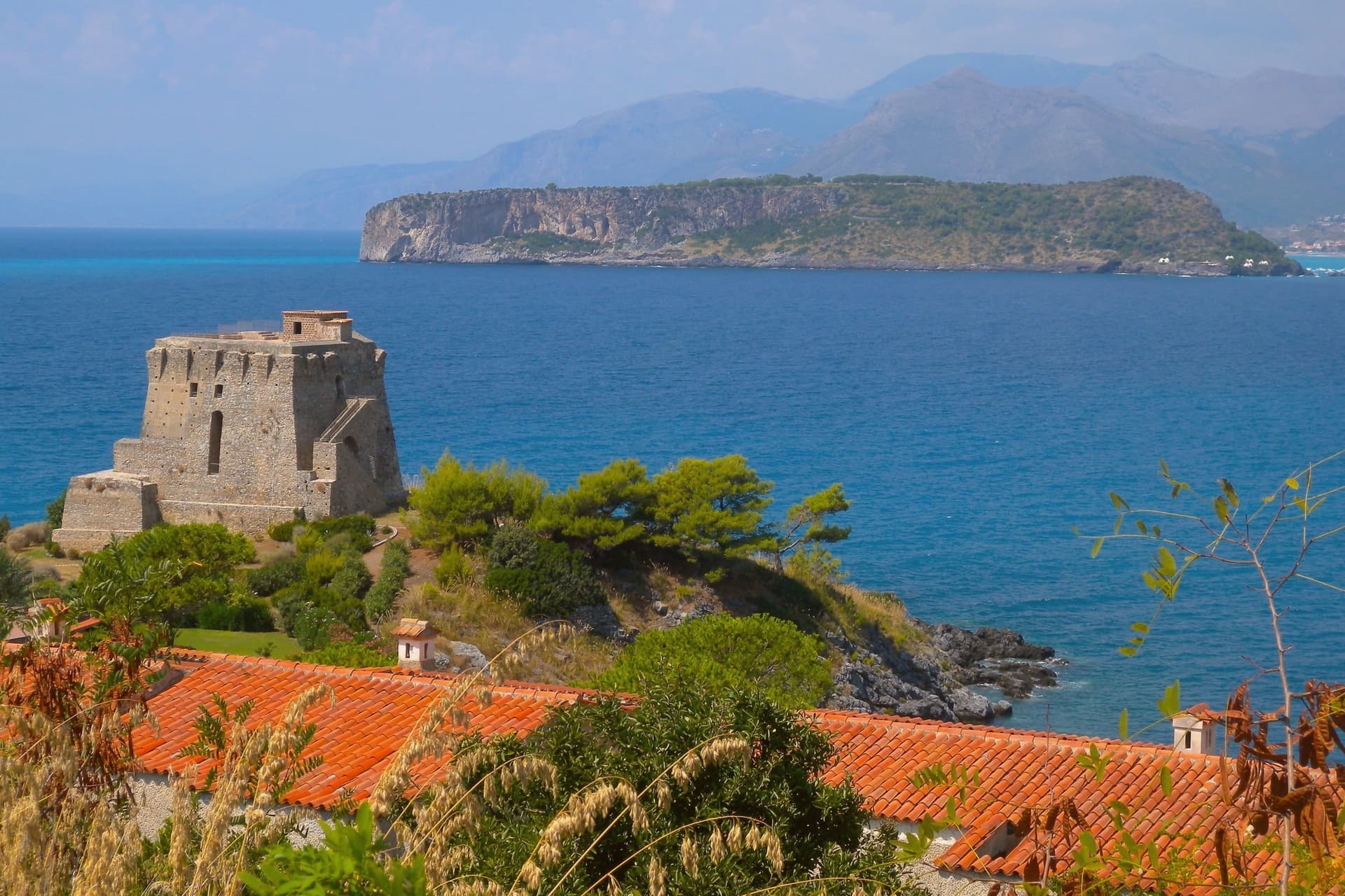
 The best hidden beach towns in Campania9 towns, Castellabate among them.
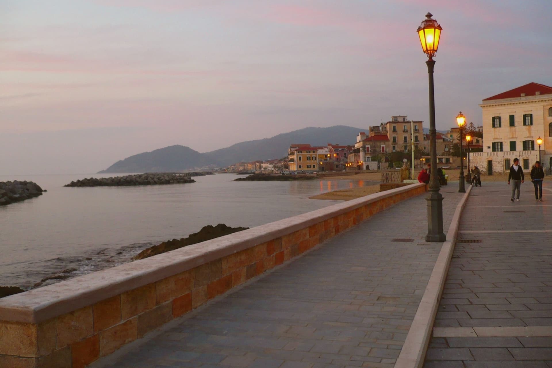
 Alternatives to Positano: every coastal town in Campania and Calabria that is not on the postcard34 towns, Castellabate among them.
How to get there
From Naples / Salerno (NAP), about 2 hours by car.
Bari / Brindisi (BRI) is about 4 hours away.
By car from the centre of Salerno 1h 18m, Naples 2 hours or Bari 4 hours.
Coming by train into Salerno? Castellabate is about 1h 20m away by road.
What to see
Castello dell'Abate
Castle begun on 10 October 1123 by Saint Costabile Gentilcore, fourth abbot of the Trinità della Cava, gave the village its name as Castrum Abbatis.
Centro storico di Castellabate
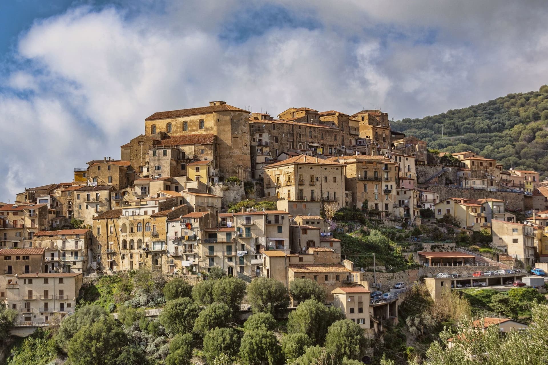
Hilltop borgo at 280 meters, one of I Borghi più belli d'Italia, stone alleys around the castle and views down to the bay and the promontory beyond.
Basilica Pontificia di Santa Maria de Gulia
Twelfth-century mother church at Santa Maria di Castellabate, raised to pontifical basilica in the twentieth century, with a wooden statue of the Madonna.
Punta Licosa
Promontory and small offshore island named after the Siren Leucosia of Greek legend, the southern boundary of the Cilento protected marine area.
Cilento, Vallo di Diano e Alburni National Park
UNESCO Mediterranean Diet biosphere reserve, with the Monte Stella ridge inland of Castellabate and the marine area extending to Agropoli.
The slow-trip planner
Building a trip? Find where Castellabate fits in a slow Italy circuit.
Answer five questions. We will shape a geographically coherent slow trip from the 1,000 Italian towns most travelers skip. Yours to save and share.
Living here
- Population 8,677
- Remotei
- Pharmacy in town
- High school within a 30-minute drive
- Nearest airport Naples / Salerno, 2 h 1 min drive
- Regional capital Napoli, 2 h 1 min drive
Common questions
- What is Castellabate known for?
- Castellabate is a hilltown on a 280-meter Cilento ridge, with a Bandiera Blu beach below and the Benvenuti al Sud film.
- Where is Castellabate?
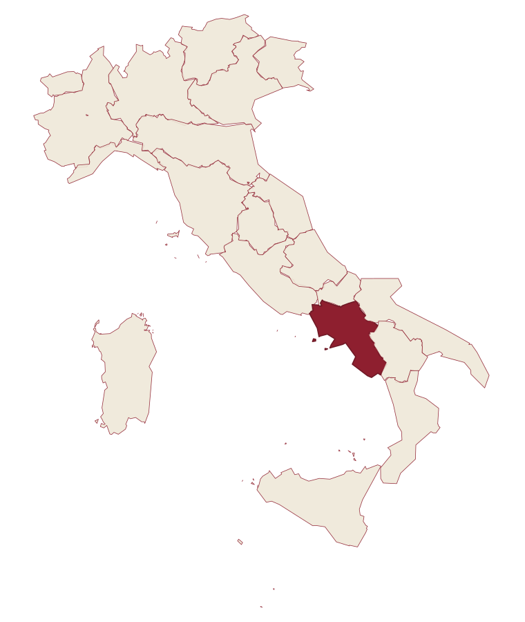
- Castellabate is a comune in the province of Salerno, in Campania, at 280 meters above sea level.
- What is the nearest airport to Castellabate?
- Naples / Salerno (NAP), about 2 hours by car.
- How long is the drive from Salerno to Castellabate?
- About 1h 18m by car.
- When is the best time to visit Castellabate?
- Best in May–Sep. July is the warmest month, averaging 30 degrees, and December the wettest, with about 15 rain days.
- Is there a sagra or a festival in Castellabate?
- The town keeps its patron saint's day: Costabile Gentilcore, 17 February.
- Which other towns are like Castellabate?
- Anacapri, Capalbio and Ascea.
- How many people live in Castellabate?
- 8,677 at the 2023 count.
Tags & datadesignations · numbers · sources
Recognised as
The numbers
- Elevation: 280 m
- Population: 8,677
- Surface area: 37.43 km²
These figures were compiled from public directories: ISTAT, OpenStreetMap and Wikidata, and from the official listings of the guides named on this page. Town details change; verify with official sources before you travel.
Similar
Towns like Castellabate
Anacapri
Province: Napoli
both on the Tyrrhenian coast · both between 3,000 and 10,000 people
Capalbio
Province: Grosseto
both on the Tyrrhenian coast · both between 3,000 and 10,000 people
Ascea
Province: Salerno
both on the Tyrrhenian coast · both between 3,000 and 10,000 people
Camerota
Province: Salerno
both on the Tyrrhenian coast · both between 3,000 and 10,000 people
Centola
Province: Salerno
both on the Tyrrhenian coast · both between 3,000 and 10,000 people
Maratea
Province: Potenza
both on the Tyrrhenian coast · both between 3,000 and 10,000 people
🎨 Borghi più belli d'Italia
More Borghi più belli d'Italia towns in Campania
Atrani
Province: Salerno
The smallest commune in Italy by area, twelve hectares of stacked houses where the Amalfi Coast pinches shut around a single piazza.
Conca dei Marini
Province: Salerno
A coastal hamlet of 664 people on the Amalfi Coast, home to a monastery pastry and a sea cave that glows green.
Cusano Mutri
Province: Benevento
A Sannio hill borgo at 475 meters on the south face of the Matese, the only town in the area spared by the 1688 earthquake.
Frigento
Province: Avellino
An Irpinia hill village at 911 meters with a Republican-era Roman cistern complex on its summit and four valleys at its feet.
Furore
Province: Salerno
The Amalfi Coast village with no piazza and no center, scattered on rock walls 300 meters above the only fjord in southern Italy.