
Abruzzo · Teramo
Pietracamela
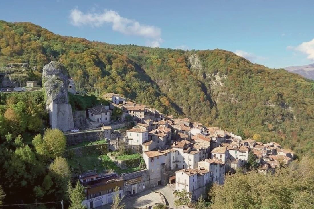
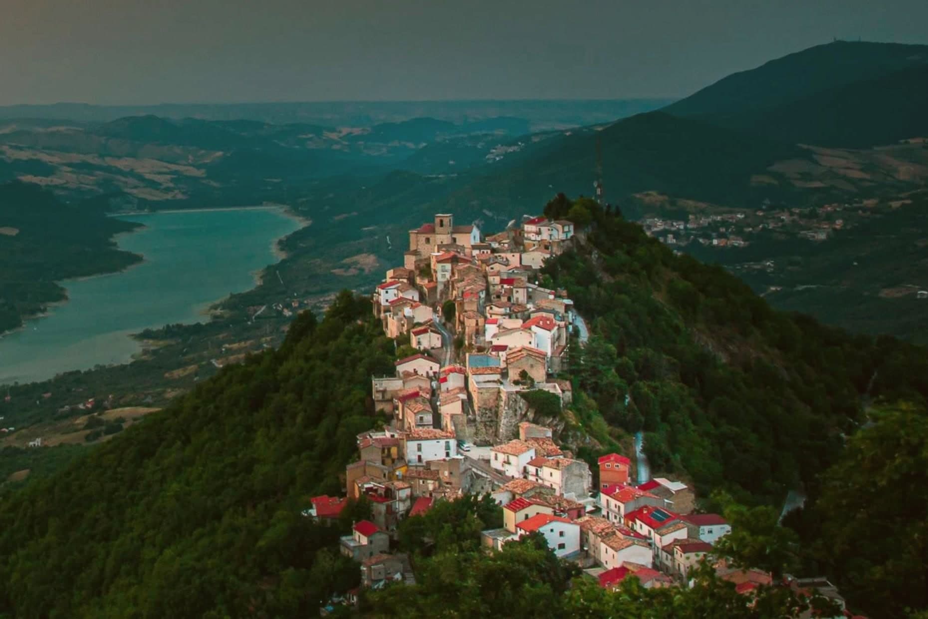
A village of 218 people clinging at 1,005 meters under the north wall of Corno Piccolo, birthplace of Italian Apennine climbing in 1925.
- Best time
- Jun–Sep, Dec–Mar
- By car
- 1 h 32 min from Pescara
- Population
- 218
Known for
AQUILOTTI
Founded here in 1925 by Ernesto Sivitilli, the first climbing club of the central Apennines, opened the first grade VI routes.
CORNO PICCOLO
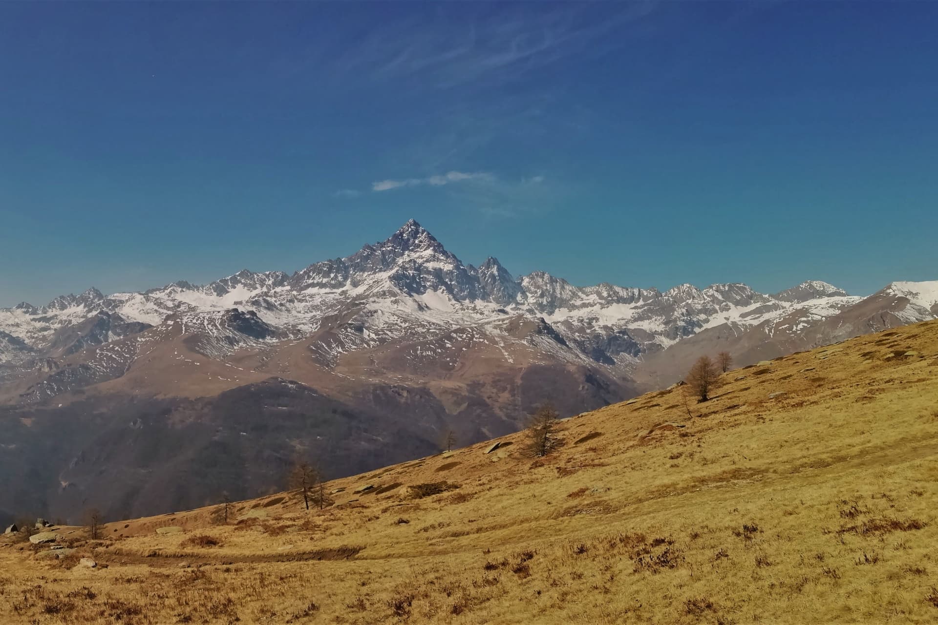
2,655-meter peak directly above the village, considered the most demanding rock climb in the Apennine range.
CALDERONE GLACIER
Southernmost glacier in Europe, on the north flank of Corno Grande, accessed from Prati di Tivo above the village.
When to visit
Best · Jun–Sep, Dec–Mar
- J6°
- F9°
- M9°
- A12°
- M17°
- J23°
- J26°
- A26°
- S21°
- O17°
- N11°
- D7°
- Best
- Hot or crowded
- Quiet
- Mostly closed
Daytime averages, 2020–2024. Weather data by Open-Meteo.com.
The festa: Leucio d'Alessandria, seconda domenica di luglio
Why come
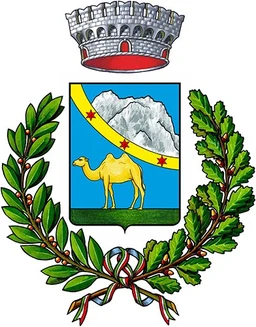
The village was founded in the twelfth century by populations fleeing coastal raids for the inaccessible upper Rio Arno valley. Its name comes from the Preta, the camel-humped rock above the houses. The Gran Sasso, central Italy's highest range, defines the place: the historic core sits packed against the slope below the peak, while the road above climbs to Prati di Tivo, the frazione that turns into a ski station and the gateway to the cableway onto the massif.
By the 1930s the climbing club founded in the village had opened the first grade VI routes on the east face and the Torrione Cambi. Today the village empties in winter except for the climbers and skiers heading up that same road. What began as a refuge in an inaccessible valley became, seven centuries later, a base camp for the range that towers over it.
The Sunday letter
Pietracamela is on our list. Its letter is still to come.
We are writing about all 1,000 of these towns, one at a time, in a free letter every Sunday: the photo, the food, the festa. That is our mission. Sign up and you will be there when Pietracamela comes up. By Peter & Sophia, from Pietrasanta.
Read on
Pietracamela in our articles
 10 Borghi più belli d'Italia that stay empty anyway10 towns, Pietracamela among them.
 10 mountain comuni near Pescara10 towns, Pietracamela among them.
 10 towns where the festa is bigger than the town10 towns, Pietracamela among them.
 The 10 smallest Borghi più belli d'Italia10 towns, Pietracamela among them.
How to get there
From Ancona / Pescara (AOI), about 2h 19m by car.
Rome (FCO) is about 3 hours away.
By car from the centre of Pescara 1h 32m or Ancona 2h 14m.
Coming by train into Pescara Centrale? Pietracamela is about 1h 29m away by road.

What to see
Centro storico
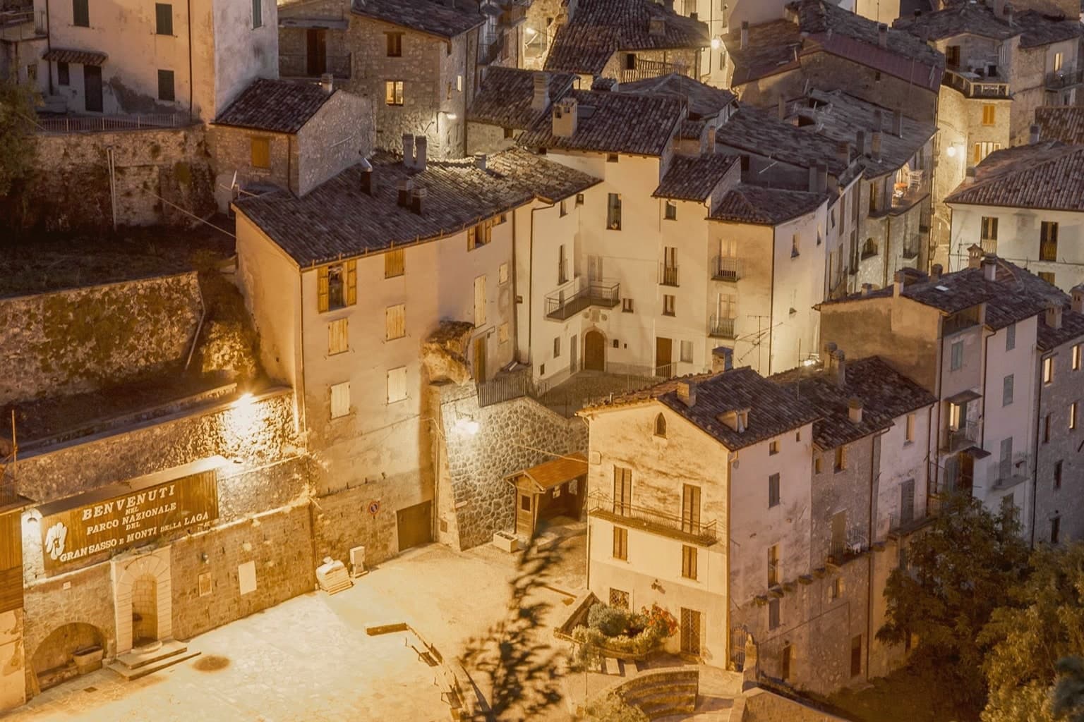
Tightly packed stone houses on the slope, twelfth-century medieval plan preserved, listed among the Borghi più belli d'Italia.
Corno Piccolo
Sheer rock peak rising 2,655 meters directly above the village, the historic training ground of the Aquilotti climbing club.
Prati di Tivo
Ski station at 1,450 meters, frazione of Pietracamela, gateway to the cableway up the Gran Sasso massif.
Corno Grande and Calderone glacier
Gran Sasso's main peak at 2,912 meters, with the Calderone, the southernmost glacier in Europe, on its northern slopes.
Chiesa di San Leucio
Medieval parish church in the village, restored multiple times, the oldest stone building in the historic core.
Parco Nazionale del Gran Sasso e Monti della Laga
Pietracamela sits inside the park, the CAI reserve covering 2,000 hectares around Val Maone and the Rio Arno valley.
The slow-trip planner
Building a trip? Find where Pietracamela fits in a slow Italy circuit.
Answer five questions. We will shape a geographically coherent slow trip from the 1,000 Italian towns most travelers skip. Yours to save and share.
Living here
- Population 218
- In-betweeni
- Pharmacy in town
- Nearest high school over ~30 minutes away
- Nearest airport Ancona / Pescara, 2 h 19 min drive
- Regional capital L'Aquila, 1 h 7 min drive
Common questions
- What is Pietracamela known for?
- Pietracamela is a village of 218 people clinging at 1,005 meters under the north wall of Corno Piccolo, birthplace of Italian Apennine climbing in 1925.
- Where is Pietracamela?
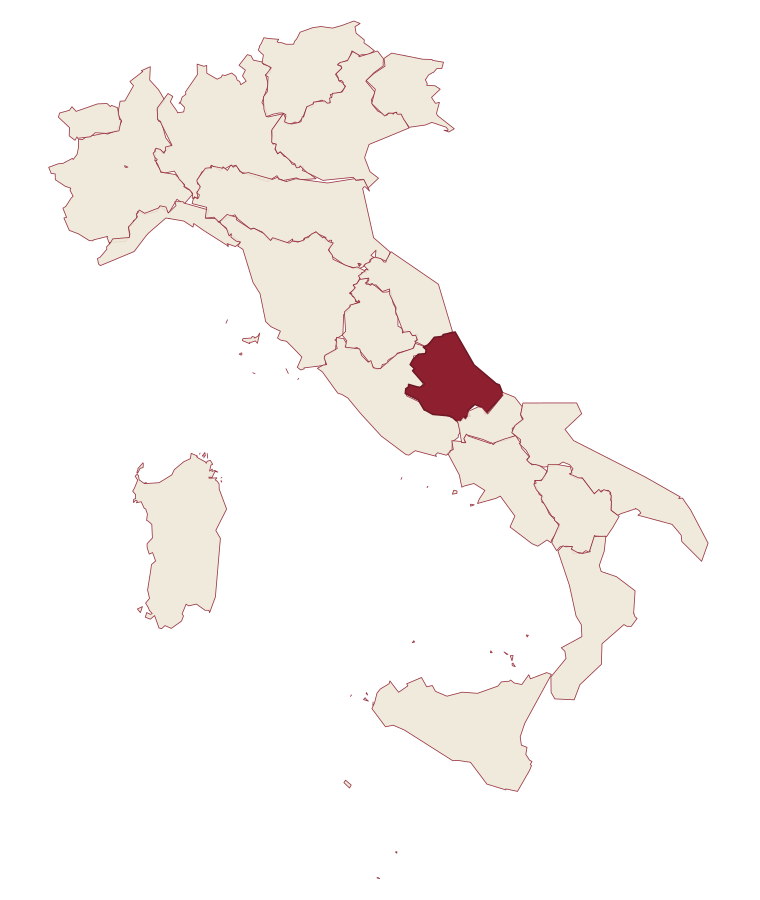
- Pietracamela is a comune in the province of Teramo, in Abruzzo, at 1005 meters above sea level.
- What is the nearest airport to Pietracamela?
- Ancona / Pescara (AOI), about 2h 19m by car.
- How long is the drive from Pescara to Pietracamela?
- About 1h 32m by car.
- When is the best time to visit Pietracamela?
- Best in Jun–Sep, Dec–Mar. July is the warmest month, averaging 26 degrees, and May the wettest, with about 18 rain days.
- Is there a sagra or a festival in Pietracamela?
- The town keeps its patron saint's day: Leucio d'Alessandria, seconda domenica di luglio.
- Which other towns are like Pietracamela?
- Calascio, Castelvecchio Calvisio and Santo Stefano di Sessanio.
- How many people live in Pietracamela?
- 218 at the 2023 count.
Tags & datadesignations · numbers · sources
Recognised as
The numbers
- Elevation: 1005 m
- Population: 218
- Surface area: 44.49 km²
These figures were compiled from public directories: ISTAT, OpenStreetMap and Wikidata, and from the official listings of the guides named on this page. Town details change; verify with official sources before you travel.
Featured on
Pietracamela appears on this themed pick from our Collections:
Similar
Towns like Pietracamela
Calascio
Province: L'Aquila
both high in the mountains · both under 1,000 people
Castelvecchio Calvisio
Province: L'Aquila
both high in the mountains · both under 1,000 people
Santo Stefano di Sessanio
Province: L'Aquila
both high in the mountains · both under 1,000 people
Castel del Monte
Province: L'Aquila
both high in the mountains · both under 1,000 people
Alessandria del Carretto
Province: Cosenza
both high in the mountains · both under 1,000 people
Pescopennataro
Province: Isernia
both high in the mountains · both under 1,000 people
🎨 Borghi più belli d'Italia
More Borghi più belli d'Italia towns in Abruzzo
Anversa degli Abruzzi
Province: L'Aquila
At 604 meters above the Sagittario Gorges, a cliff village built around a Norman castle rebuilt by the Counts of Sangro.
Campli
Province: Teramo
A 393-meter town under the Monti della Laga, held by the Farnese for two centuries, with a Scala Santa carrying papal indulgence.
Caramanico Terme
Province: Pescara
A 650-meter Majella spa village at the confluence of the Orfento and Orta rivers.
Casoli
Province: Chieti
A 378-meter hill town above the Aventino under the Maiella, with a pentagonal Norman tower that once hosted a court of artists.
Castel del Monte
Province: L'Aquila
At 1,346 meters under Monte Bolza facing Rocca Calascio, the capital of shepherds, whose wool reached the Medici and whose witches return each August.