
Sardinia · Nuoro
Oliena
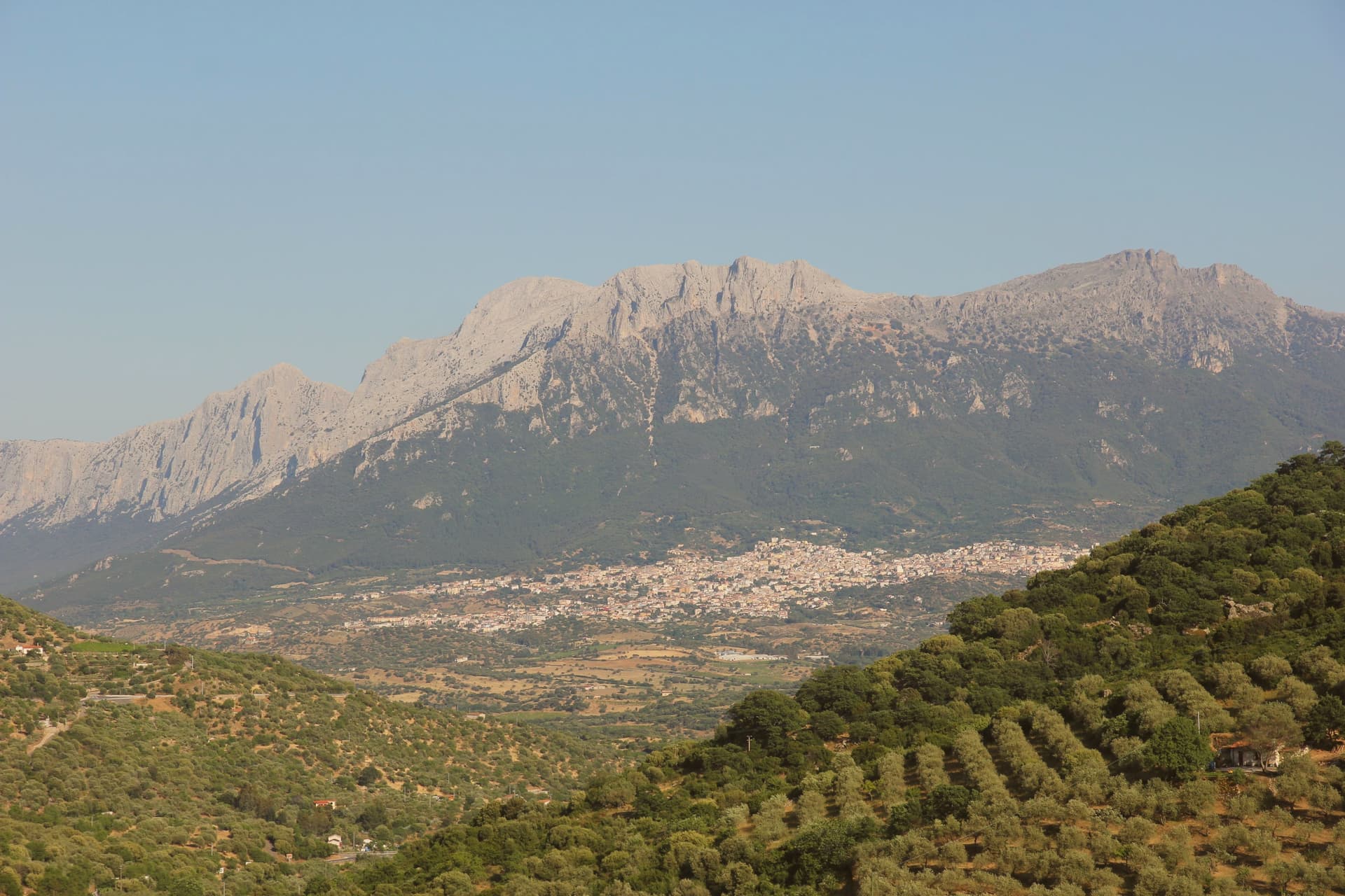
A Supramonte village at the foot of the massif's highest peak, source of Cannonau Nepente, base camp for Tiscali and the Lanaitto valley.
- Best time
- Apr–Jun, Sep–Nov
- By car
- 2 h 59 min from Cagliari
- Population
- 6,582
Known for
NEPENTE DI OLIENA
Vintage Cannonau wine produced only from grapes grown in the commune, name-checked by Gabriele D'Annunzio as a wine 'worthy of the Olympus'.
SUPRAMONTE
Limestone massif culminating at Monte Corrasi 1,463m, with the Lanaitto valley, the Tiscali nuragic village and the Su Gologone spring at its base.
SU GOLOGONE
Sardinia's largest karst spring and natural monument since 1998, emerald-green water rising from the Supramonte aquifer below Monte Uddè.
When to visit
Best · Apr–Jun, Sep–Nov
- J13°
- F15°
- M15°
- A18°
- M23°
- J28°
- J33°
- A32°
- S27°
- O23°
- N17°
- D14°
- Best
- Hot or crowded
- Quiet
- Mostly closed
Daytime averages, 2020–2024. Weather data by Open-Meteo.com.
Why come
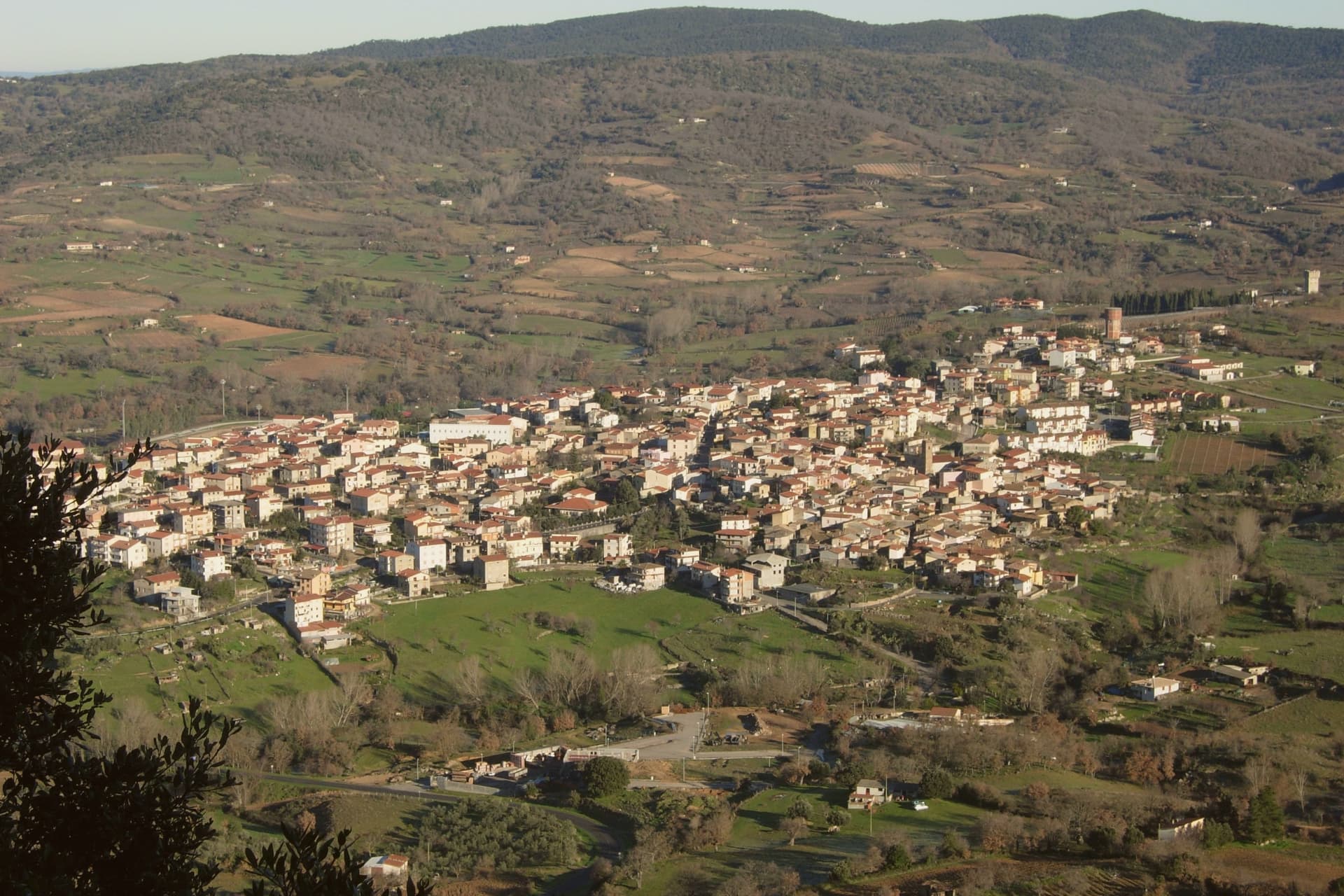
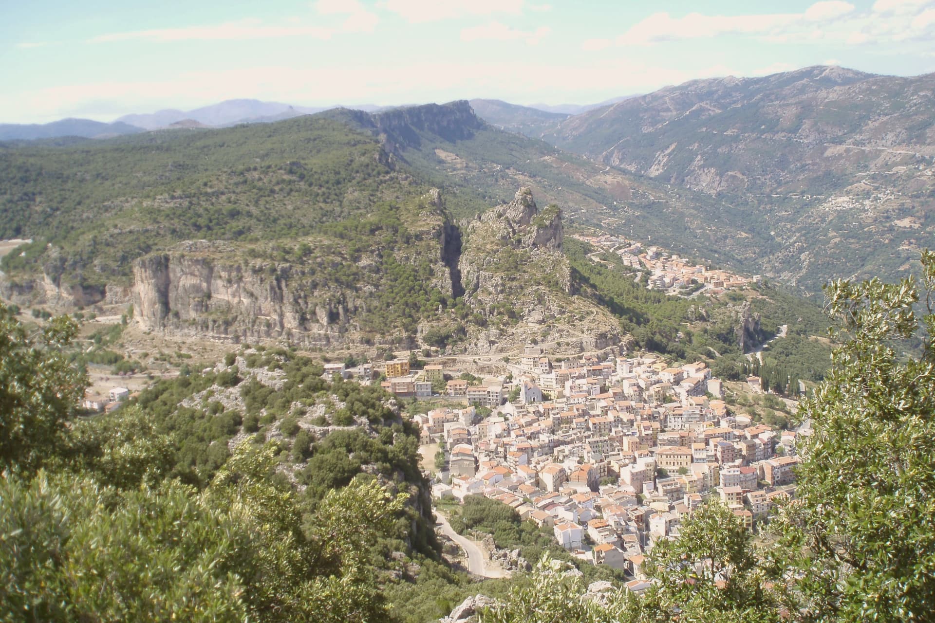
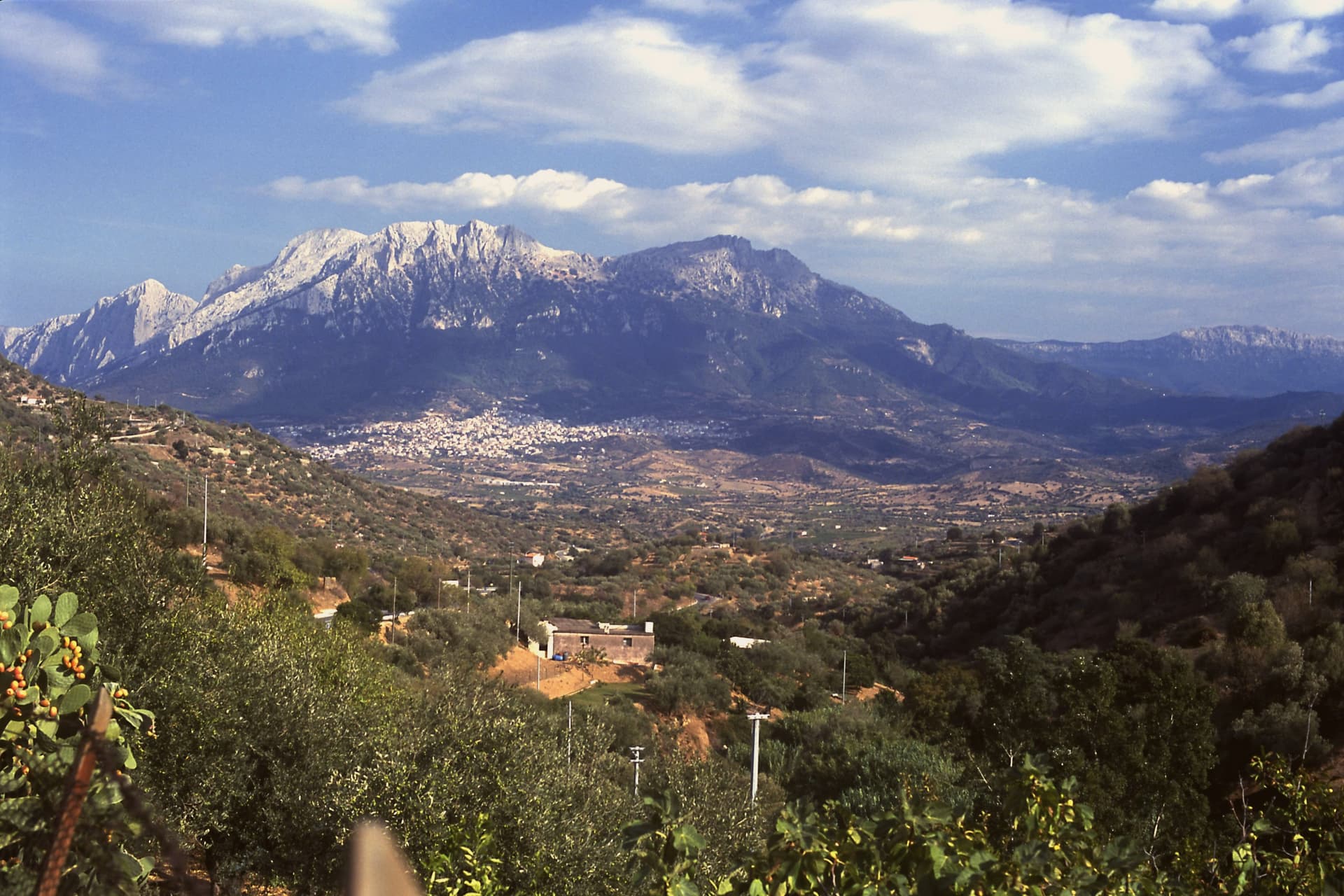
Oliena sits on the western flank of the massif, in the interior of the Nuoro province. The village is the main inhabited base for one of the wildest karst landscapes in Italy: the Lanaitto valley below the town conceals the collapsed doline that hides the Tiscali village, and the caves of Sa Oche and Su Bentu, whose river runs for one of the longest stretches underground of any in Italy. Monte Corrasi stands over all of it, the high point of the Supramonte, with the spring rising at the foot of a neighbouring peak just east of the centre.
Olive groves and almond orchards fill the valley below the cliffs, and the Cannonau grown on these slopes becomes the Nepente di Oliena, the wine D'Annunzio named for Olympus. The village belongs to the Parco Nazionale del Gennargentu zone and holds the Bandiera Arancione of the Touring Club Italiano. What holds the place together is the relation between the heights and the valley floor: a limestone wall that produces caves, a hidden village and a river underground, and beneath it a strip of cultivated ground that has made the wine and the oil while the mountain keeps the rest concealed.
The Sunday letter
Oliena is on our list. Its letter is still to come.
We are writing about all 1,000 of these towns, one at a time, in a free letter every Sunday: the photo, the food, the festa. That is our mission. Sign up and you will be there when Oliena comes up. By Peter & Sophia, from Pietrasanta.
Read on
Oliena in our articles
How to get there
From Cagliari (CAG), about 3h 13m by car.
What to see
Monte Corrasi
The peak rises directly above the village, a long climb from town and the dominant presence on the skyline in every direction.
Su Gologone
The spring sits at the foot of Monte Uddè, its water surfacing already emerald-green rather than gathering colour downstream.
Villaggio nuragico di Tiscali
Bronze Age village of circular huts hidden inside a collapsed karstic doline on Monte Tiscali, reached on foot through the Lanaitto valley.
Grotta di Sa Oche e Su Bentu
Cave system in the Lanaitto valley with one of the longest subterranean rivers in Italy, used since the Upper Paleolithic.
Grotta Corbeddu
Karst cave that yielded the earliest known human remains in Sardinia, dating to the Upper Paleolithic.
The slow-trip planner
Building a trip? Find where Oliena fits in a slow Italy circuit.
Answer five questions. We will shape a geographically coherent slow trip from the 1,000 Italian towns most travelers skip. Yours to save and share.
We recommend
Where to eat
Not our picks, but places the guides put their name to: a Michelin star, a Gambero Rosso fork, a Slow Food snail, a Michelin Key for the hotels. Worth a table, a counter, or a night when you pass through.
Su GologoneRistorante
Su Gologone holds a Michelin Bib Gourmand and a Gambero Rosso listing.
Sa CorteRistorante
Sa Corte carries a spot in the Michelin Guide.
Living here
- Population 6,582
- Very remotei
- Pharmacy in town
- High school within a 30-minute drive
- Nearest airport Cagliari, 3 h 13 min drive
- Regional capital Cagliari, 3 h 1 min drive
Common questions
- What is Oliena known for?
- Oliena is a Supramonte village at the foot of the massif's highest peak, source of Cannonau Nepente, base camp for Tiscali and the Lanaitto valley.
- Where is Oliena?
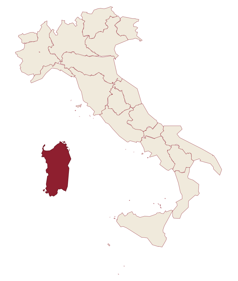
- Oliena is a comune in the province of Nuoro, in Sardinia, at 380 meters above sea level.
- What is the nearest airport to Oliena?
- Cagliari (CAG), about 3h 13m by car.
- When is the best time to visit Oliena?
- Best in Apr–Jun, Sep–Nov. July is the warmest month, averaging 33 degrees, and November the wettest, with about 11 rain days.
- Which other towns are like Oliena?
- Dorgali, Baunei and Jerzu.
- How many people live in Oliena?
- 6,582 at the 2023 count.
Tags & datadesignations · numbers · sources
The numbers
- Elevation: 380 m
- Population: 6,582
- Surface area: 165.74 km²
These figures were compiled from public directories: ISTAT, OpenStreetMap and Wikidata, and from the official listings of the guides named on this page. Town details change; verify with official sources before you travel.
Similar
Towns like Oliena
Dorgali
Province: Nuoro
both inland in Sardinia · both between 3,000 and 10,000 people
Baunei
Province: Nuoro
both inland in Sardinia · both between 3,000 and 10,000 people
Jerzu
Province: Nuoro
both inland in Sardinia · both between 3,000 and 10,000 people
Cuglieri
Province: Oristano
both inland in Sardinia · both hill towns
Camerota
Province: Salerno
both between 3,000 and 10,000 people · both hill towns
Vico del Gargano
Province: Foggia
both between 3,000 and 10,000 people · both hill towns
🟠 Bandiera Arancione
More Bandiera Arancione towns in Sardinia
Aggius
Province: Sassari
A Gallura granite village at 514 meters under the Monti di Aggius, with the largest ethnographic museum in Sardegna and three centuries of bandit history.
Galtellì
Province: Nuoro
Grazia Deledda's 'Canne al vento' set: a 2,354-resident Baronia borgo in Sardinia's northeast, with the entire centro recognised as the Parco Letterario Grazia Deledda for being the literal setting of her 1913 Nobel-trajectory novel.
Gavoi
Province: Nuoro
A 777-meter Barbagia hilltop village above Lake Gusana with a Bandiera Arancione of the Touring Club, the country's most-attended summer literary festival (L'Isola delle Storie), and the PDO Fiore Sardo pecorino made here for at least three centuries.
Sardara
Province: Sud Sardegna
A Campidano thermal town where Nuragic well-temples, Roman Aquae Neapolitanae and a hilltop Arborea castle share the same hot springs.
Tempio Pausania
Province: Sassari
The granite capital of Gallura at the foot of Monte Limbara, known for cork, Vermentino DOCG and the largest Carnival in northern Sardinia.