
Sardinia · Nuoro
Baunei
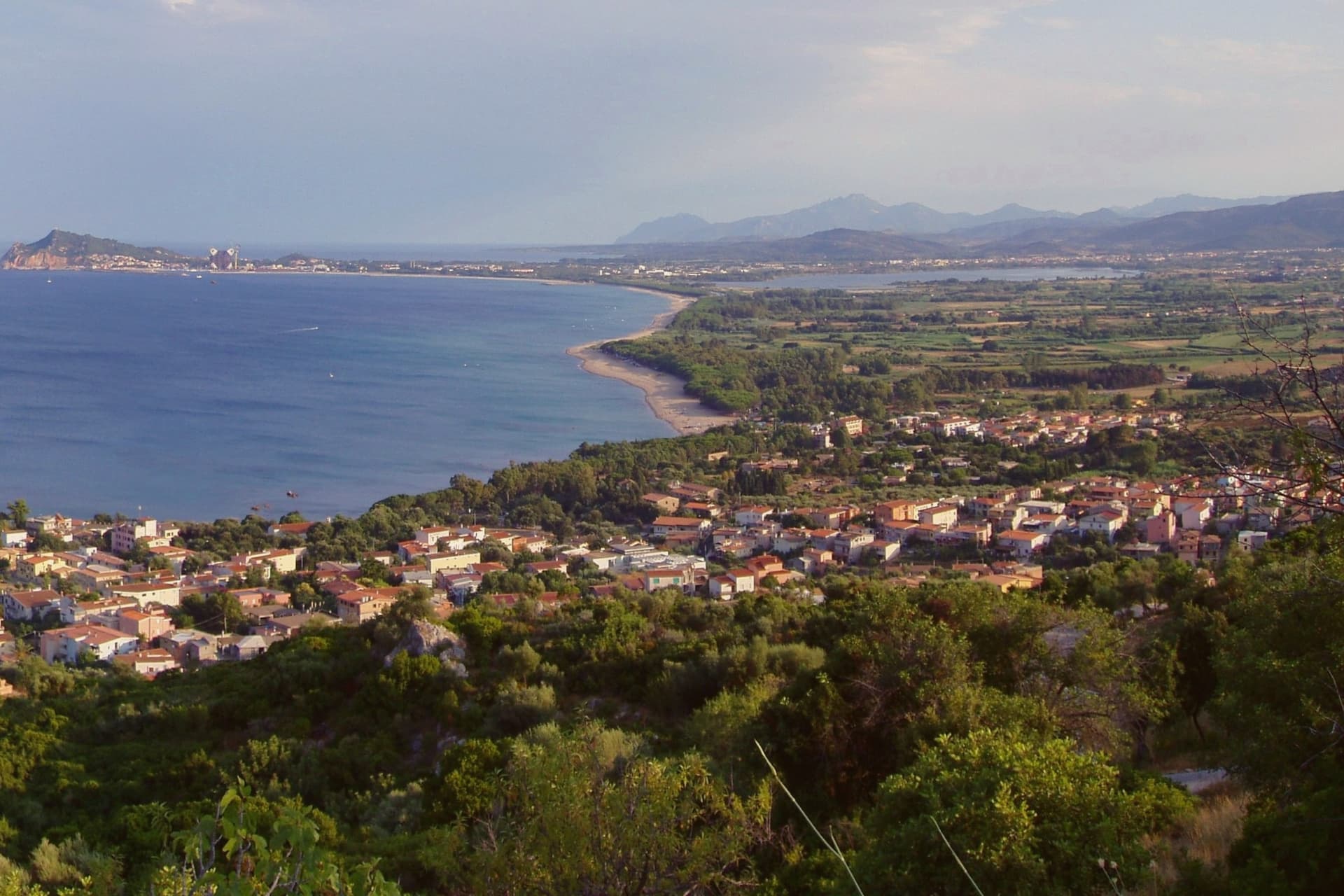
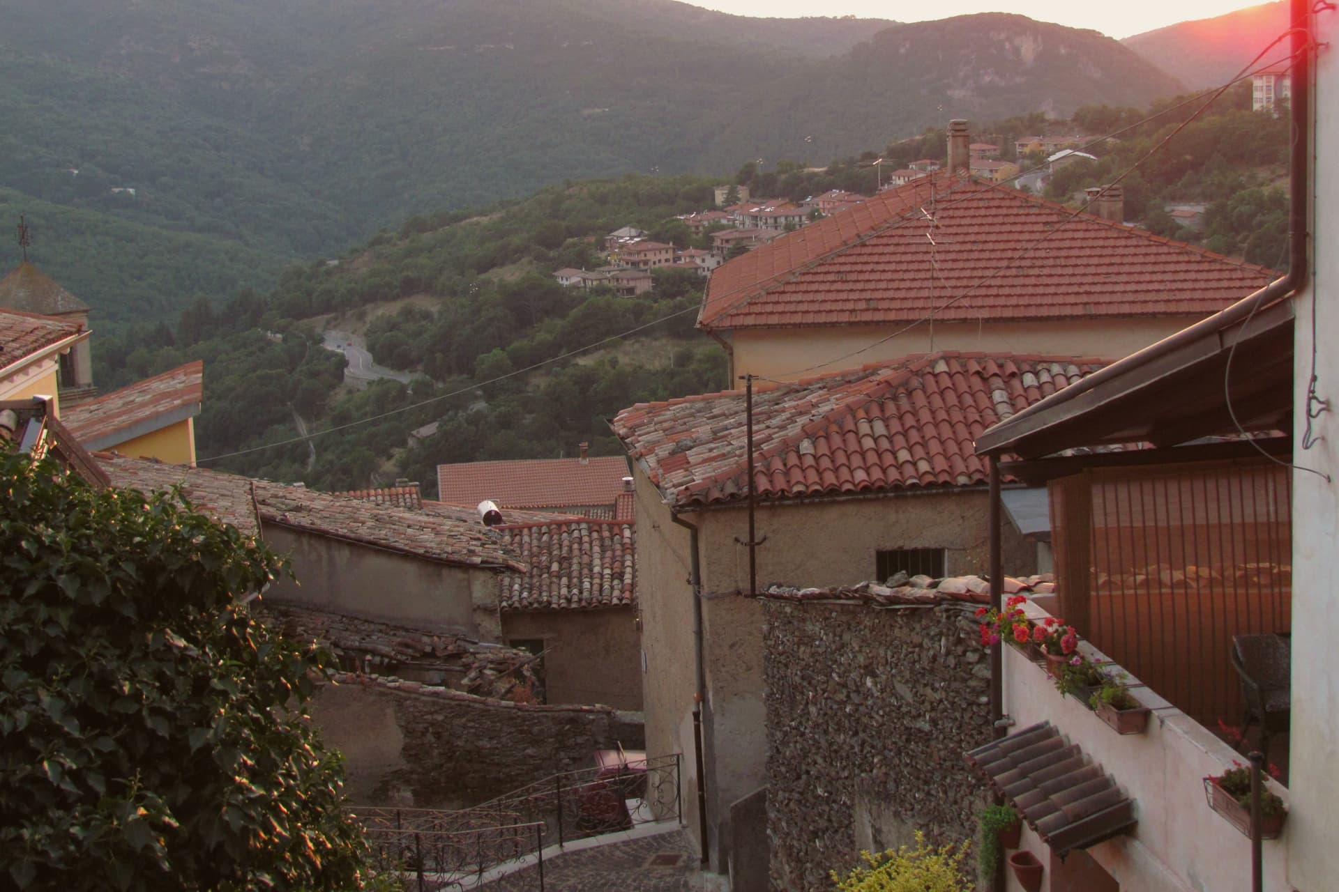
A village on the Monte Santo limestone ridge, its territory holding a national-monument beach and a trek regularly called Italy's hardest.
- Best time
- Apr–Jun, Sep–Nov
- By car
- 3 h 8 min from Cagliari
- Population
- 3,428
Known for
CALA GOLORITZÉ
National monument since 1995, the most photographed beach in Ogliastra, formed by a 1962 landslide beneath a 143-metre limestone arch.
SELVAGGIO BLU
Forty-kilometer coast trek from Pedra Longa to Cala Sisine, designed in 1987 by Mario Verin and Peppino Cicalò, regularly called Italy's hardest.
GOATS AND GOLGO
Limestone Altopiano del Golgo above the village with free-grazing goats, Su Sterru sinkhole, and the chapel of San Pietro.
When to visit
Best · Apr–Jun, Sep–Nov
- J11°
- F13°
- M13°
- A16°
- M20°
- J25°
- J30°
- A29°
- S24°
- O20°
- N16°
- D13°
- Best
- Hot or crowded
- Quiet
- Mostly closed
Daytime averages, 2020–2024. Weather data by Open-Meteo.com.
The festa: Nicola di Bari, 6 December
Why come
Baunei sits on the southern flank of the Supramonte, the village on its ridge and its coast forty kilometers below, a stretch reachable only by boat or on foot and belonging entirely to the commune. Santa Maria Navarrese is the only seaside frazione, a small bay with a Romanesque church that serves as harbor for boat trips along the gulf. Inland and above, the limestone plateau carries free-grazing goats, a deep karst sinkhole, and the chapel of San Pietro, a different register of the same terrain that drops to cliffs at the shore.
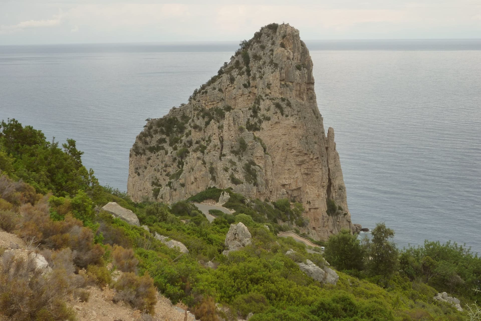
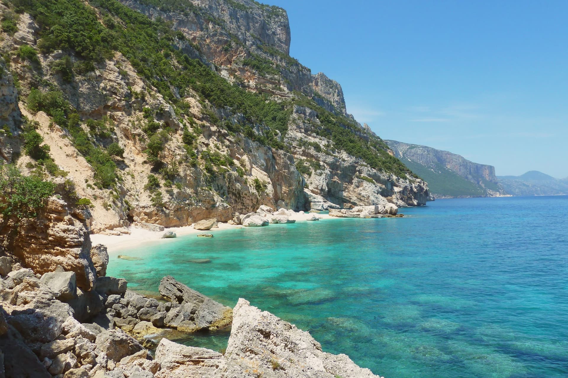
The coast itself is a sequence: a cove of polished white pebbles a few points north of the arch beach, the needle marking the southern end near Santa Maria Navarrese, and another cove further along, the two points bracketing the long trekking route sketched in 1987 by photographer Mario Verin and alpinist Peppino Cicalò. The territory falls inside the Parco Nazionale del Golfo di Orosei e del Gennargentu. What holds the village, plateau, and coast together is the same limestone, worked by the sea into coves and arches below and by karst into a sinkhole and plateau above.
The Sunday letter
Baunei is on our list. Its letter is still to come.
We are writing about all 1,000 of these towns, one at a time, in a free letter every Sunday: the photo, the food, the festa. That is our mission. Sign up and you will be there when Baunei comes up. By Peter & Sophia, from Pietrasanta.

How to get there
From Cagliari (CAG), about 3h 26m by car.
What to see
Cala Goloritzé
White pebble beach under the arch, reachable only by boat or on foot, the shoreline it sits on regularly ranked among Italy's top ten.
Cala Mariolu
Cove of small white pebbles and turquoise water north of Goloritzé, reached by boat from Santa Maria Navarrese or Cala Gonone.
Pedra Longa
128-metre limestone needle rising from the sea above Santa Maria Navarrese, the south marker of the Baunei coast.
Selvaggio Blu
Four to seven days on foot between the needle and the cove to its north, with rappels and exposed scrambles over cliffs and goat tracks.
Santa Maria Navarrese
Coastal frazione of Baunei, small bay with a Romanesque church and the harbor for boat trips along the coast.
Altopiano del Golgo
Limestone plateau above Baunei with the karst sinkhole, 270 metres deep, the deepest single drop on the island.
The slow-trip planner
Building a trip? Find where Baunei fits in a slow Italy circuit.
Answer five questions. We will shape a geographically coherent slow trip from the 1,000 Italian towns most travelers skip. Yours to save and share.
Living here
- Population 3,428
- Very remotei
- Pharmacy in town
- Nearest high school over ~30 minutes away
- Nearest airport Cagliari, 3 h 26 min drive
- Regional capital Cagliari, 3 h 8 min drive
Common questions
- What is Baunei known for?
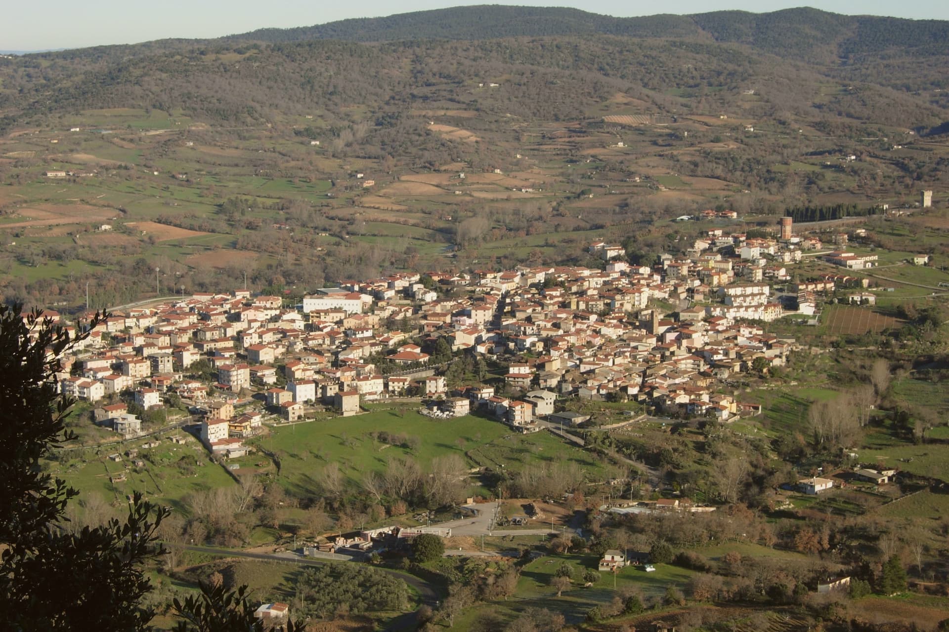
- Baunei is a village at 480 meters on the Monte Santo limestone ridge, its territory holding a national-monument beach and a trek regularly called Italy's hardest.
- Where is Baunei?
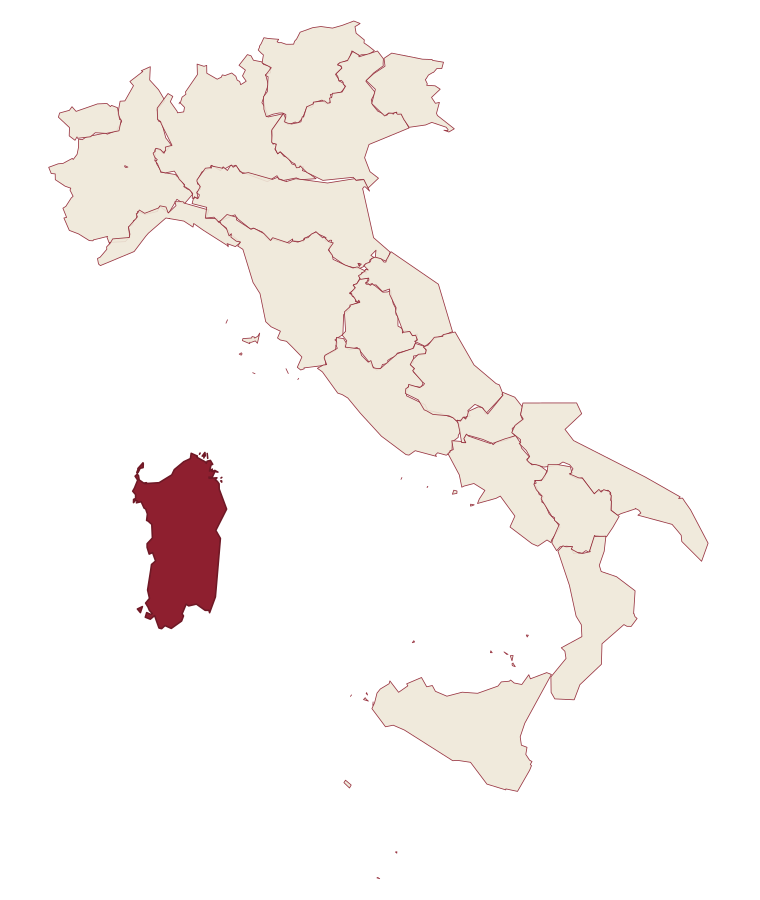
- Baunei is a comune in the province of Nuoro, in Sardinia.
- What is the nearest airport to Baunei?
- Cagliari (CAG), about 3h 26m by car.
- When is the best time to visit Baunei?
- Best in Apr–Jun, Sep–Nov. July is the warmest month, averaging 30 degrees, and November the wettest, with about 12 rain days.
- Is there a sagra or a festival in Baunei?
- The town keeps its patron saint's day: Nicola di Bari, 6 December.
- Which other towns are like Baunei?
- Jerzu, Oliena and Dorgali.
- How many people live in Baunei?
- 3,428 at the 2023 count.
Tags & datadesignations · numbers · sources
Recognised as
The numbers
- Elevation: 480 m
- Population: 3,428
- Surface area: 211.9 km²
These figures were compiled from public directories: ISTAT, OpenStreetMap and Wikidata, and from the official listings of the guides named on this page. Town details change; verify with official sources before you travel.
Similar
Towns like Baunei
Jerzu
Province: Nuoro
both inland in Sardinia · both between 3,000 and 10,000 people
Oliena
Province: Nuoro
both inland in Sardinia · both between 3,000 and 10,000 people
Dorgali
Province: Nuoro
both inland in Sardinia · both between 3,000 and 10,000 people
Cuglieri
Province: Oristano
both inland in Sardinia · both hill towns
Centola
Province: Salerno
both between 3,000 and 10,000 people · both hill towns
Maratea
Province: Potenza
both between 3,000 and 10,000 people · both hill towns
🌲 Parco Nazionale
More Parco Nazionale towns in Sardinia
Aritzo
Province: Nuoro
A Mandrolisai mountain village at 800 meters in chestnut and hazelnut forest, where snow once travelled out in straw and came back as lemon sorbet.
Atzara
Province: Nuoro
A Mandrolisai wine village on the western Gennargentu, painted in the early twentieth century by Spanish costumbristas and the Sardinian Scuola di Atzara.
Dorgali
Province: Nuoro
A Supramonte town at 387 meters, with a coastal frazione, a Nuragic village hidden in a sinkhole, and a limestone gorge cut through the massif to the south.
Fonni
Province: Nuoro
The highest village in Sardinia at 1,000 meters on the Gennargentu, with ski lifts climbing above the town and the Madonna dei Martiri sanctuary at its edge.
Gavoi
Province: Nuoro
A 777-meter Barbagia hilltop village above Lake Gusana with a Bandiera Arancione of the Touring Club, the country's most-attended summer literary festival (L'Isola delle Storie), and the PDO Fiore Sardo pecorino made here for at least three centuries.