
Campania · Salerno
Roscigno
A Cilento ghost town at 570 meters, emptied by a 1902 landslide and known as the Pompeii of the twentieth century.
- Best time
- Apr–Oct
- By car
- 1 h 19 min from Salerno
- Population
- 625
Known for
GHOST TOWN
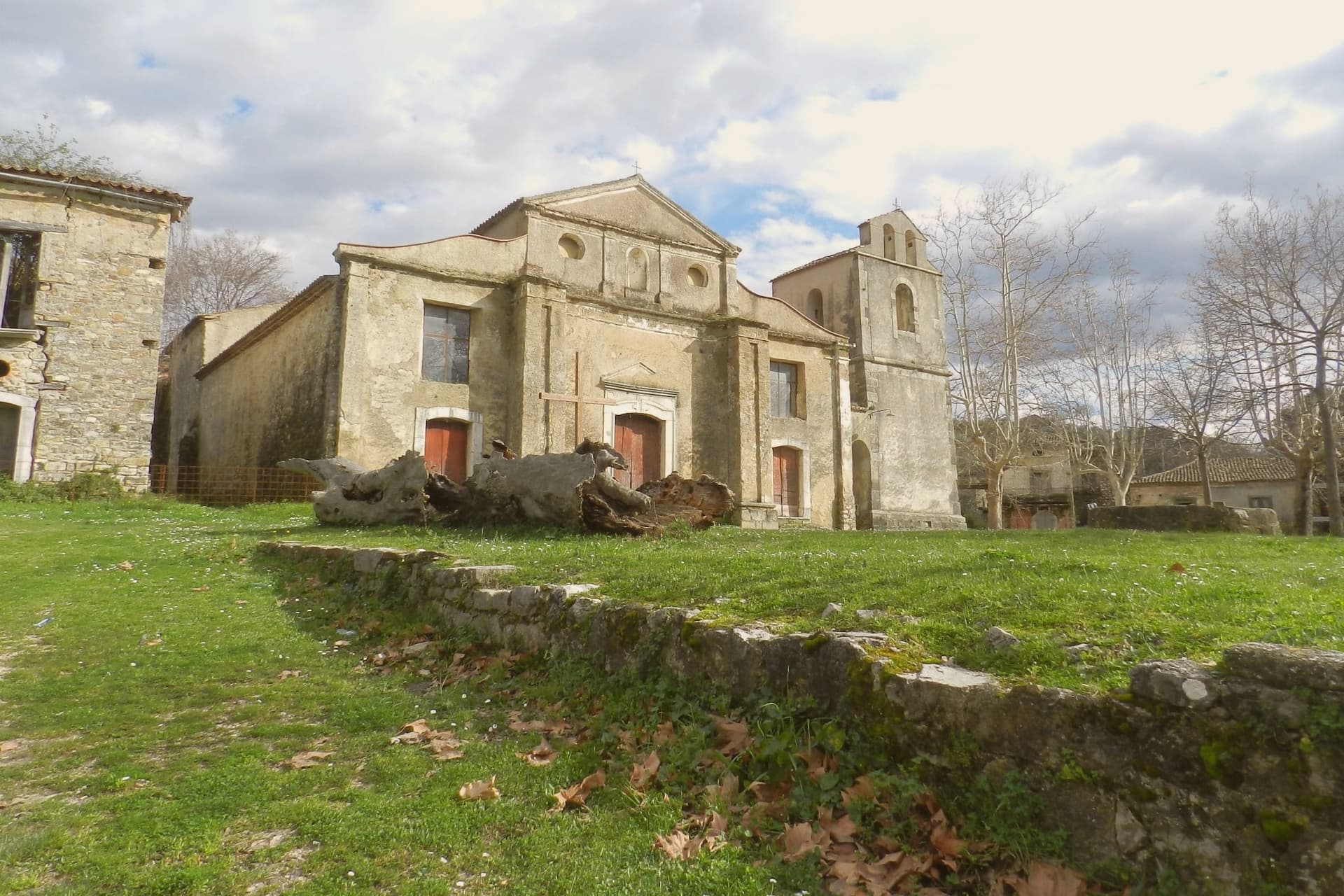
Roscigno Vecchia emptied after the 1902 landslide and relocation laws of 1902 and 1908, with most families gone by the 1920s.
POMPEI DEL '900
Italian press name for Roscigno Vecchia; the village stayed largely intact and is now an open-air museum of rural Cilento life.
GIUSEPPE SPAGNUOLO
Self-appointed last resident, alone in the empty streets for over twenty years as guardian and tour guide until his death in January 2024.
When to visit
Best · Apr–Oct
- J10°
- F12°
- M12°
- A16°
- M20°
- J26°
- J30°
- A29°
- S24°
- O20°
- N15°
- D11°
- Best
- Hot or crowded
- Quiet
- Mostly closed
Daytime averages, 2020–2024. Weather data by Open-Meteo.com.
Why come
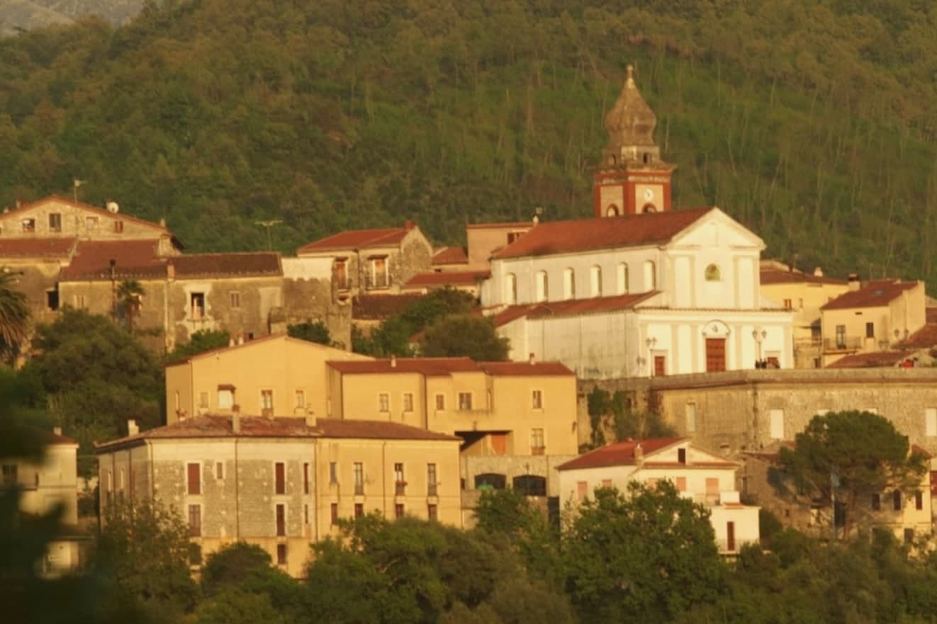
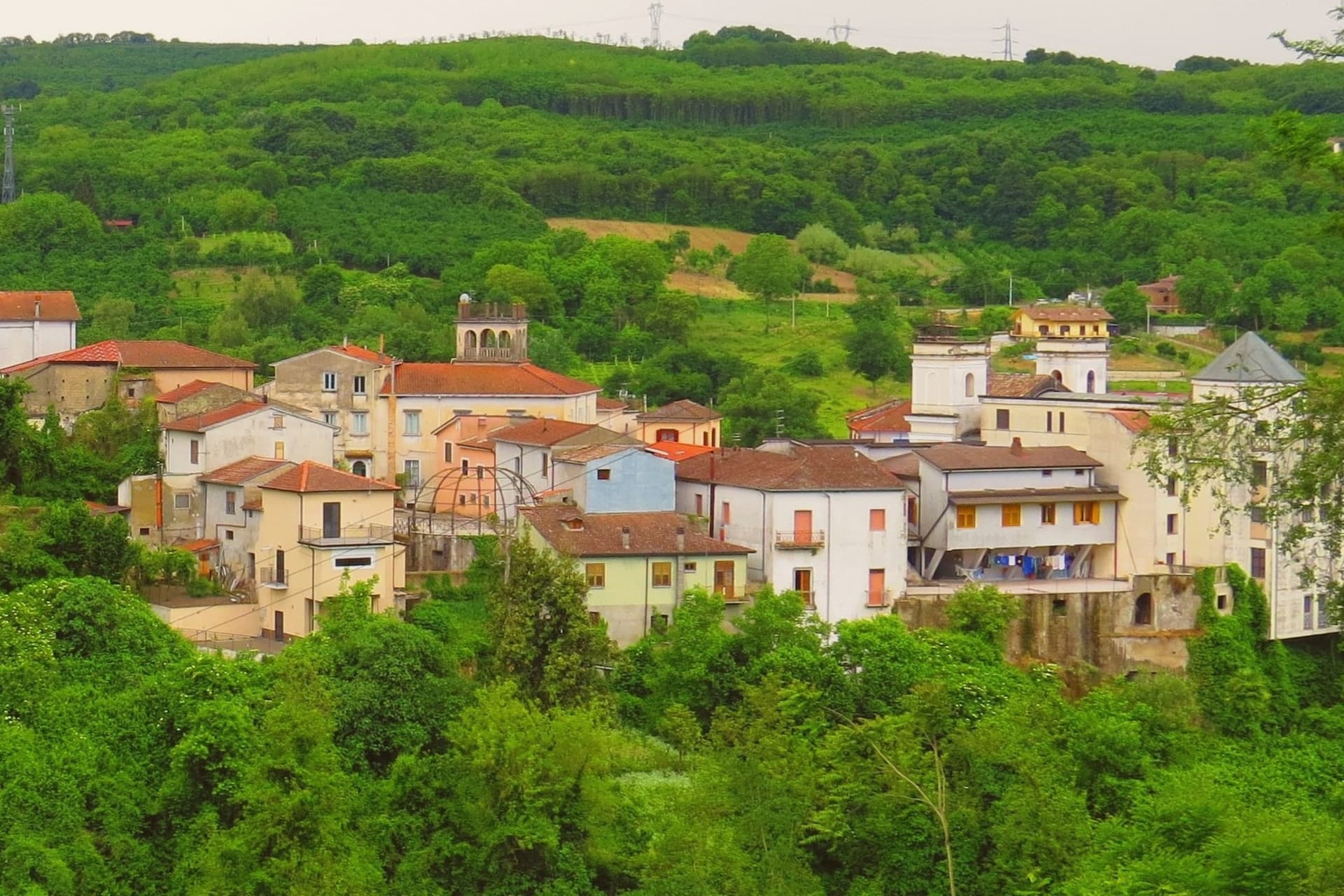
Roscigno sits on the slope of Monte Pruno, inside the Cilento, Vallo di Diano e Alburni National Park, sixty kilometers inland from Salerno. The comune is split into two settlements that share little beyond a name. Roscigno Nuovo, built up the hill on safer ground, holds the 625 current residents and the ordinary business of the town. Below it, the old village keeps its stone houses, its square, its fountain and washing basins, and its church on its raised platform, arranged as they were when relocation laws pushed everyone uphill after the landslide.
The two halves face each other across that history: one lived in and unremarkable, the other empty and preserved by neglect rather than restoration. What draws people to Roscigno is not a monument but a whole abandoned settlement left standing, houses, square, and church together, a rural community's ordinary fabric intact and unoccupied rather than any single building.
The Sunday letter
Roscigno is on our list. Its letter is still to come.
We are writing about all 1,000 of these towns, one at a time, in a free letter every Sunday: the photo, the food, the festa. That is our mission. Sign up and you will be there when Roscigno comes up. By Peter & Sophia, from Pietrasanta.

How to get there
From Naples / Salerno (NAP), about 2 hours by car.
Bari / Brindisi (BRI) is about 3 hours away.
By car from the centre of Salerno 1h 19m, Naples 2 hours or Bari 3 hours.
Coming by train into Salerno? Roscigno is about 1h 22m away by road.
What to see
Roscigno Vecchia
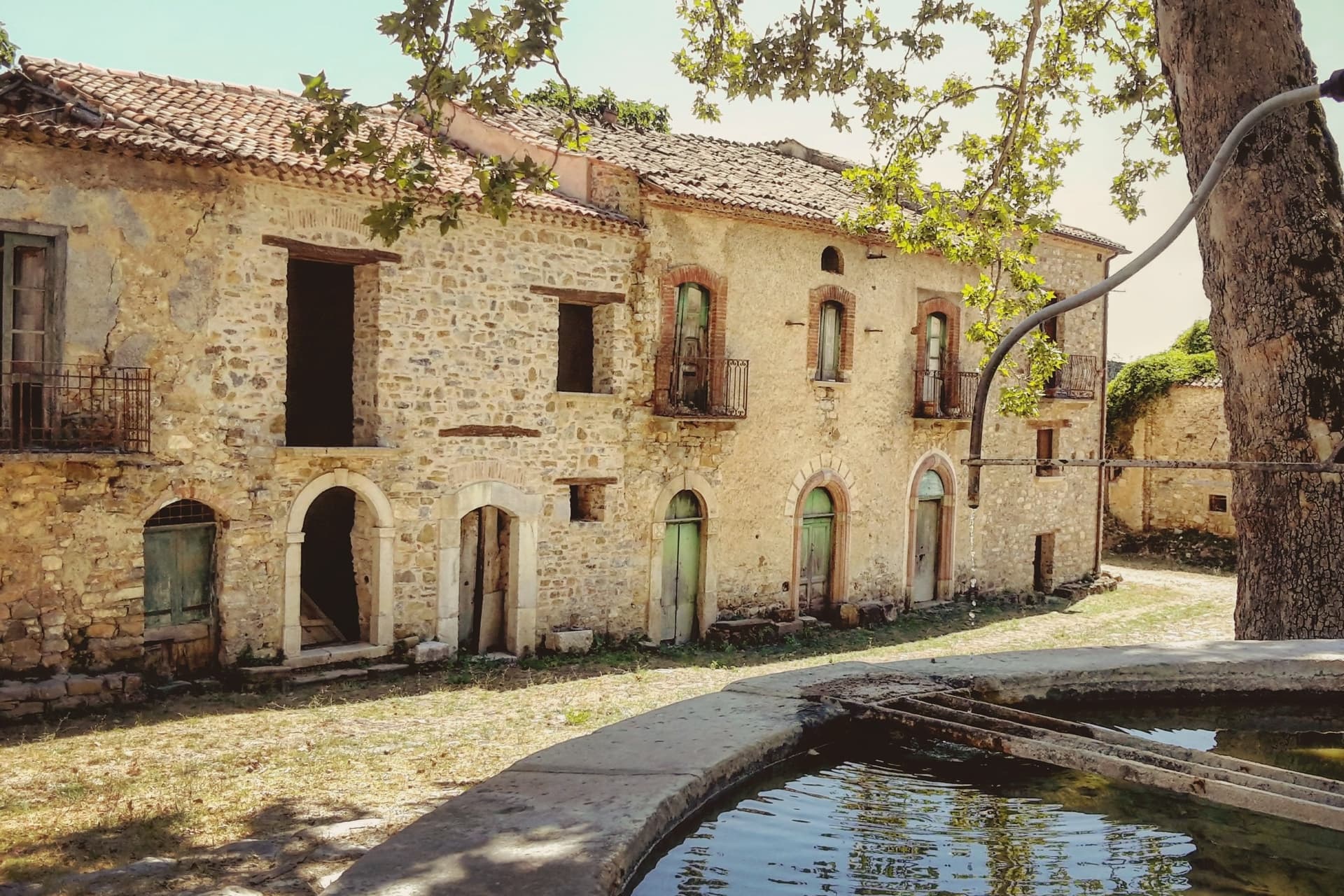
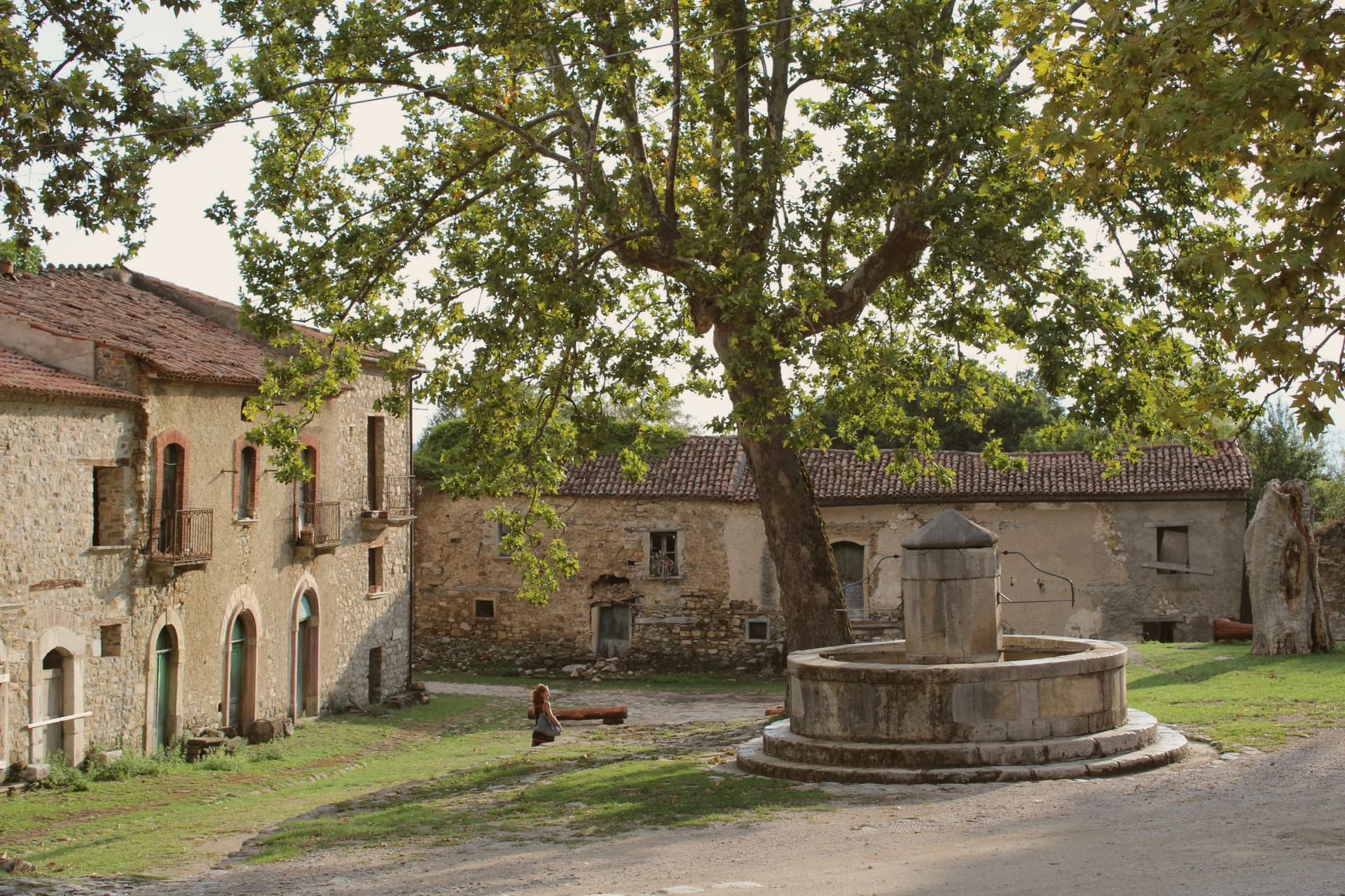
Stone village of the 1600s and 1700s, its houses still standing along empty streets, unrestored and left as they were when the last families walked out.
Piazza Giovanni Nicotera
Main square with the original fountain and public washing basins still in place, framed by the empty houses and the church above.
Chiesa di San Nicola di Bari
Parish church on a raised platform above the piazza, unrestored, with a preserved wooden ceiling visible through the doors.
Museo della Civiltà Contadina
Six-room ethnographic museum in the former rectory and municipal house with about five hundred objects on grain, wool, wine and oil production.
Monte Pruno
Forested peak above the village, the watershed between the Calore Lucano and the Tanagro, hiked from the old village in around two hours.
The slow-trip planner
Building a trip? Find where Roscigno fits in a slow Italy circuit.
Answer five questions. We will shape a geographically coherent slow trip from the 1,000 Italian towns most travelers skip. Yours to save and share.
Living here
- Population 625
- Very remotei
- Pharmacy in town
- High school within a 30-minute drive
- Nearest airport Naples / Salerno, 2 h 3 min drive
- Regional capital Napoli, 2 h 3 min drive
Common questions
- What is Roscigno known for?
- Roscigno is a Cilento ghost town at 570 meters, emptied by a 1902 landslide and known as the Pompeii of the twentieth century.
- Where is Roscigno?
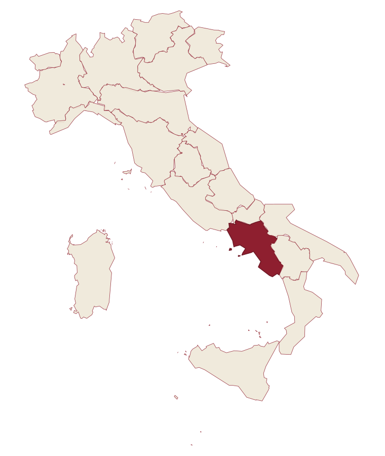
- Roscigno is a comune in the province of Salerno, in Campania.
- What is the nearest airport to Roscigno?
- Naples / Salerno (NAP), about 2 hours by car.
- How long is the drive from Salerno to Roscigno?
- About 1h 19m by car.
- When is the best time to visit Roscigno?
- Best in Apr–Oct. July is the warmest month, averaging 30 degrees, and November the wettest, with about 16 rain days.
- Which other towns are like Roscigno?
- Morigerati, Aieta and Aliano.
- How many people live in Roscigno?
- 625 at the 2023 count.
Tags & datadesignations · numbers · sources
Recognised as
The numbers
- Elevation: 570 m
- Population: 625
- Surface area: 15.18 km²
These figures were compiled from public directories: ISTAT, OpenStreetMap and Wikidata, and from the official listings of the guides named on this page. Town details change; verify with official sources before you travel.
Similar
Towns like Roscigno
Morigerati
Province: Salerno
both inland, away from the coast · both under 1,000 people
Aieta
Province: Cosenza
both inland, away from the coast · both under 1,000 people
Aliano
Province: Matera
both inland, away from the coast · both under 1,000 people
Perito
Province: Salerno
both inland, away from the coast · both under 1,000 people
Tufo
Province: Avellino
both inland, away from the coast · both under 1,000 people
Roccacasale
Province: L'Aquila
both inland, away from the coast · both under 1,000 people
🌲 Parco Nazionale
More Parco Nazionale towns in Campania
Agropoli
Province: Salerno
The gateway commune of the Cilento, a Byzantine acropolis on a promontory taken by the Saracens in 882 as a base for raids on Salerno.
Alife
Province: Caserta
A Roman walled town at the foot of the Matese, founded as a 326 BC oppidum, with Italy's fourth-largest amphitheatre still half-buried.
Ascea
Province: Salerno
Two villages, a hilltown at 230 meters and a Cilento marina, with Parmenides and Zeno's Eleatic school in the ruins of Greek Velia below.
Auletta
Province: Salerno
A Tanagro hill town above the Cilento-Vallo di Diano park, fortified by 1000 AD, scene of an 1861 anti-Piedmont massacre and an 1857 earthquake.
Camerota
Province: Salerno
A Cilento hill town of 422 meters above the Costa degli Infreschi, its caves holding one of the longest prehistoric stratigraphies on the southern Tyrrhenian.