

Abruzzo · Teramo
Civitella del Tronto
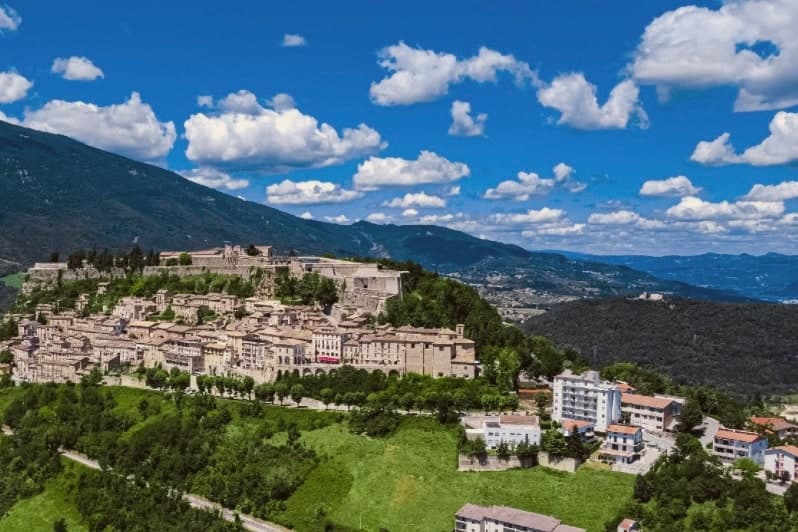
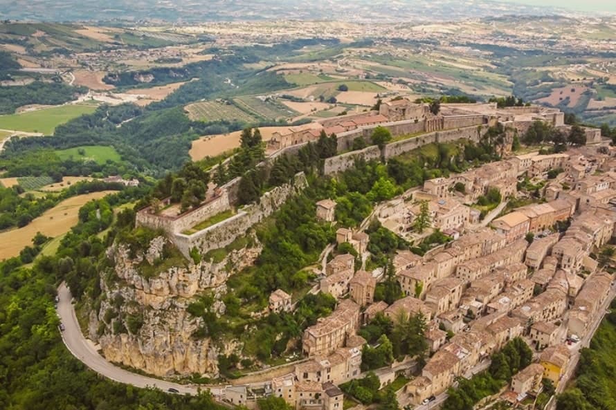
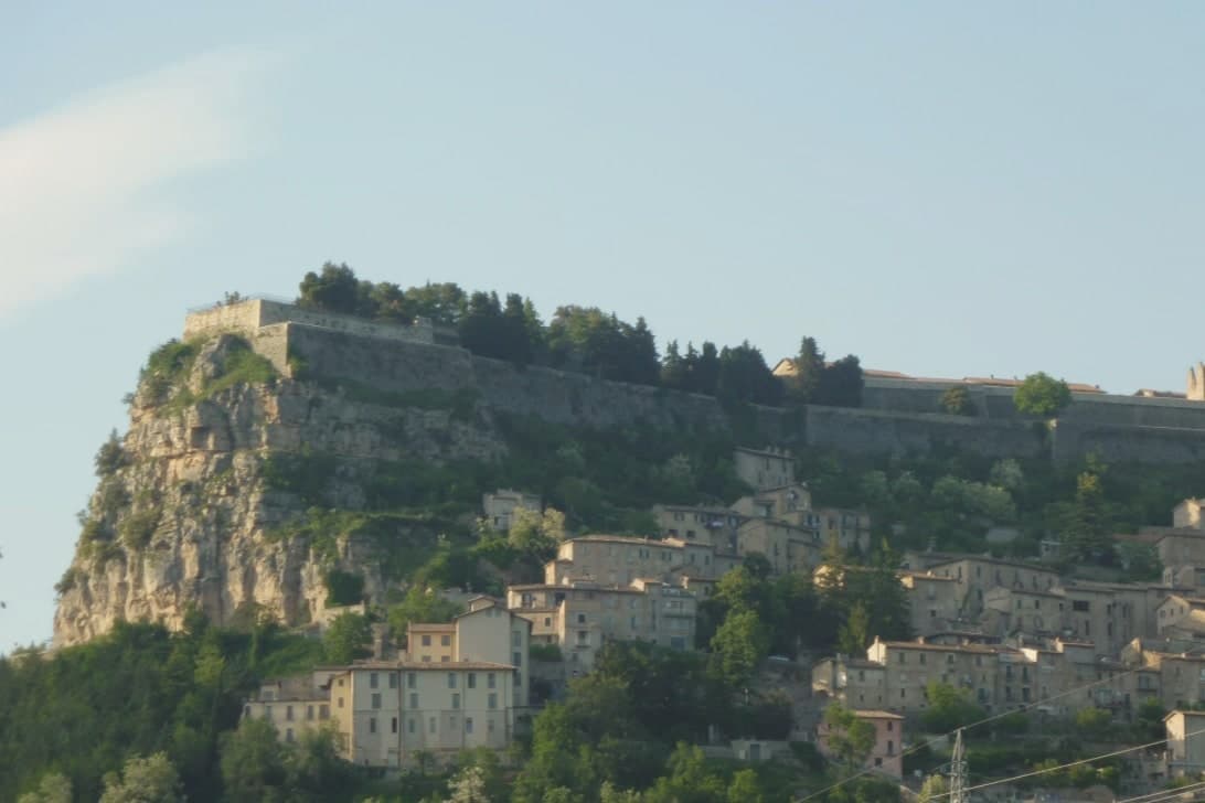
A rocky crest at 589 meters above the Tronto valley, crowned by the last Bourbon fortress to surrender to united Italy in March 1861.
- Best time
- Apr–Oct
- By car
- 1 h 12 min from Pescara
- Population
- 4,590
Known for
THE FORTRESS
Largest fortress in Italy, 500 meters long along the ridge, second in Europe only to Hohensalzburg in Salzburg.
1861 SIEGE
Held out five months under Piedmontese bombardment and surrendered on 20 March 1861, three days after Italian unification was proclaimed.
LA RUETTA
Said to be one of the narrowest streets in Italy, 38 centimeters wide at its tightest point inside the centro storico.
PRETUZIANO DELLE COLLINE TERAMANE
The commune lies inside the Pretuziano delle Colline Teramane DOP production zone.
When to visit
Best · Apr–Oct
- J9°
- F12°
- M12°
- A15°
- M20°
- J25°
- J29°
- A28°
- S23°
- O19°
- N13°
- D10°
- Best
- Hot or crowded
- Quiet
- Mostly closed
Daytime averages, 2020–2024. Weather data by Open-Meteo.com.
The festa: Ubaldo Baldassini, 16 May
Why come
Civitella del Tronto sits at 589 meters on a long limestone ridge above the Tronto valley, on the old border between the Papal States and the Kingdom of the Two Sicilies. The Fortezza that runs the spine of the town is the largest fortress in Italy and the second-largest in Europe after the Hohensalzburg at Salzburg, 500 meters long, 45 meters wide, 25,000 square meters of walls, courtyards, and casemates. It is the reason people come.
In 1860 and 1861 the Piedmontese army laid siege to it for five months. The Bourbon garrison capitulated on 20 March 1861, three days after the Kingdom of Italy had already been proclaimed in Turin. Civitella was the last Bourbon flag still flying.
The centro storico below the fortress narrows into the Ruetta, said to be one of the narrowest streets in Italy at 38 centimeters at its tightest. The town sits inside the Gran Sasso and Monti della Laga National Park.
The Sunday letter
Civitella del Tronto is on our list. Its letter is still to come.
We are writing about all 1,000 of these towns, one at a time, in a free letter every Sunday: the photo, the food, the festa. That is our mission. Sign up and you will be there when Civitella del Tronto comes up. By Peter & Sophia, from Pietrasanta.
Read on
Civitella del Tronto in our articles
 The best olive oil towns within 90 minutes of Ancona6 towns, Civitella del Tronto among them.
 The best small hill towns inside a national park in Abruzzo10 towns, Civitella del Tronto among them.
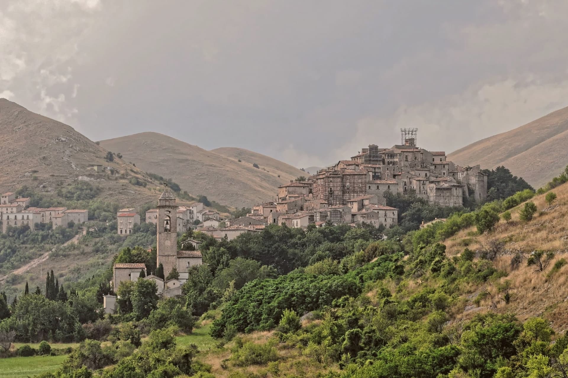 The prettiest small villages inside a national park in Abruzzo10 towns, Civitella del Tronto among them.
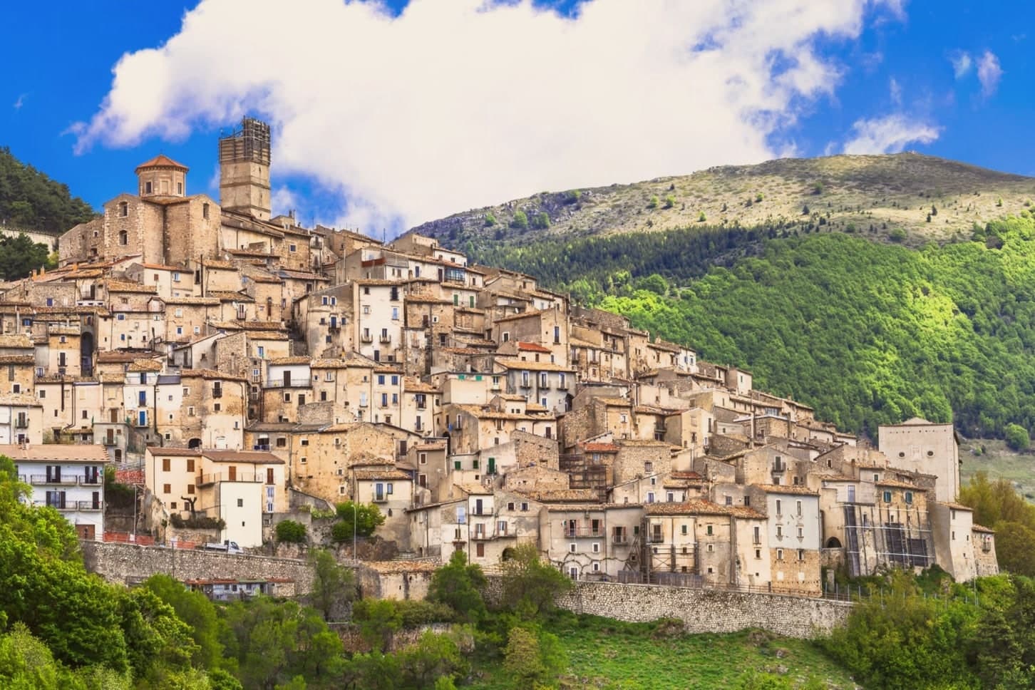 The prettiest villages inside a national park within 90 minutes of Pescara10 towns, Civitella del Tronto among them.
How to get there
From Ancona / Pescara (AOI), about 1h 35m by car.
Rimini (RMI) is about 2h 38m away.
By car from the centre of Pescara 1h 12m, Ancona 1h 30m or Rome 2h 13m.
Coming by train into Pescara Centrale? Civitella del Tronto is about 1h 10m away by road.
What to see
Fortezza di Civitella del Tronto
The largest fortress in Italy at 25,000 square meters, last stand of the Bourbon Kingdom of the Two Sicilies in March 1861.
La Ruetta
Reputedly one of the narrowest streets in Italy, 38 centimeters at its tightest, threading the centro storico below the fortress.
Chiesa di San Lorenzo
Sixteenth-century parish church inside the walls, with a Renaissance façade and altars salvaged after the 1861 siege.
Museo delle Armi e delle Mappe Antiche
Inside the fortress, displays firearms, maps, and uniforms covering the Bourbon garrison and the campaigns against Piedmontese troops.
Belvedere della Fortezza
Panorama from the eastern bastion taking in the Tronto valley, the Laga peaks to the west, and the Adriatic on clear days.
Parco Nazionale del Gran Sasso e Monti della Laga
Civitella lies inside the park boundary, with trails climbing west into the Laga sandstone uplands and chestnut woods.
The slow-trip planner
Building a trip? Find where Civitella del Tronto fits in a slow Italy circuit.
Answer five questions. We will shape a geographically coherent slow trip from the 1,000 Italian towns most travelers skip. Yours to save and share.
Living here
- Population 4,590
- Commuter belti
- Pharmacy in town
- High school within a 30-minute drive
- Nearest airport Ancona / Pescara, 1 h 35 min drive
- Regional capital L'Aquila, 1 h 4 min drive
Common questions
- What is Civitella del Tronto known for?
- Civitella del Tronto is a rocky crest at 589 meters above the Tronto valley, crowned by the last Bourbon fortress to surrender to united Italy in March 1861.
- Where is Civitella del Tronto?
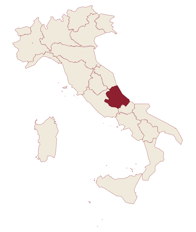
- Civitella del Tronto is a comune in the province of Teramo, in Abruzzo.
- What is the nearest airport to Civitella del Tronto?
- Ancona / Pescara (AOI), about 1h 35m by car.
- How long is the drive from Pescara to Civitella del Tronto?
- About 1h 12m by car.
- When is the best time to visit Civitella del Tronto?
- Best in Apr–Oct. July is the warmest month, averaging 29 degrees, and May the wettest, with about 15 rain days.
- Is there a sagra or a festival in Civitella del Tronto?
- The town keeps its patron saint's day: Ubaldo Baldassini, 16 May.
- Which other towns are like Civitella del Tronto?
- Isola del Gran Sasso d'Italia, Guardiagrele and Campli.
- How many people live in Civitella del Tronto?
- 4,590 at the 2023 count.
Tags & datadesignations · numbers · sources
The numbers
- Elevation: 589 m
- Population: 4,590
- Surface area: 77.74 km²
These figures were compiled from public directories: ISTAT, OpenStreetMap and Wikidata, and from the official listings of the guides named on this page. Town details change; verify with official sources before you travel.
Similar
Towns like Civitella del Tronto
Isola del Gran Sasso d'Italia
Province: Teramo
both inland, away from the coast · both between 3,000 and 10,000 people
Guardiagrele
Province: Chieti
both inland, away from the coast · both between 3,000 and 10,000 people
Campli
Province: Teramo
both inland, away from the coast · both between 3,000 and 10,000 people
Manoppello
Province: Pescara
both inland, away from the coast · both between 3,000 and 10,000 people
Mendicino
Province: Cosenza
both inland, away from the coast · both between 3,000 and 10,000 people
Castell'Arquato
Province: Piacenza
both inland, away from the coast · both between 3,000 and 10,000 people
🎨 Borghi più belli d'Italia
More Borghi più belli d'Italia towns in Abruzzo
Anversa degli Abruzzi
Province: L'Aquila
At 604 meters above the Sagittario Gorges, a cliff village built around a Norman castle rebuilt by the Counts of Sangro.
Campli
Province: Teramo
A 393-meter town under the Monti della Laga, held by the Farnese for two centuries, with a Scala Santa carrying papal indulgence.
Caramanico Terme
Province: Pescara
A 650-meter Majella spa village at the confluence of the Orfento and Orta rivers.
Casoli
Province: Chieti
A 378-meter hill town above the Aventino under the Maiella, with a pentagonal Norman tower that once hosted a court of artists.
Castel del Monte
Province: L'Aquila
At 1,346 meters under Monte Bolza facing Rocca Calascio, the capital of shepherds, whose wool reached the Medici and whose witches return each August.