
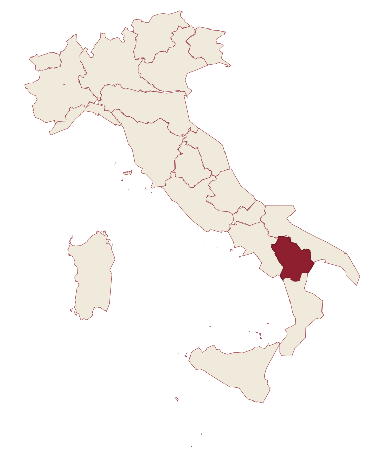
Basilicata · Potenza
Lagonegro
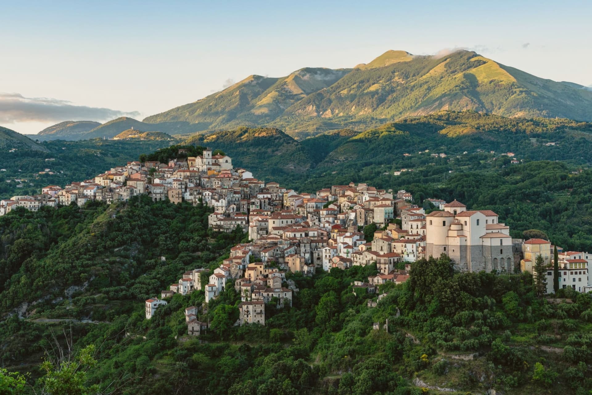
A 666-meter town founded by Byzantine monks on a defensive promontory, split between a medieval castle village and a modern square below.
- Best time
- May–Oct
- By car
- 1 h 25 min from Salerno
- By train
- Station in the comune
- Population
- 5,042
Known for
LISA DEL GIOCONDO
Local tradition holds that Leonardo's Mona Lisa model died here in 1506, tomb claimed inside the parish church, a claim disputed since a 2005 Heidelberg finding placed her death in Florence in 1542.
MONTE SIRINO
Mountain wall of 2,005 meters above town, ski terrain in winter and Lake Laudemio, Italy's southernmost glacial lake, on its flank.
DOUBLE TOWN
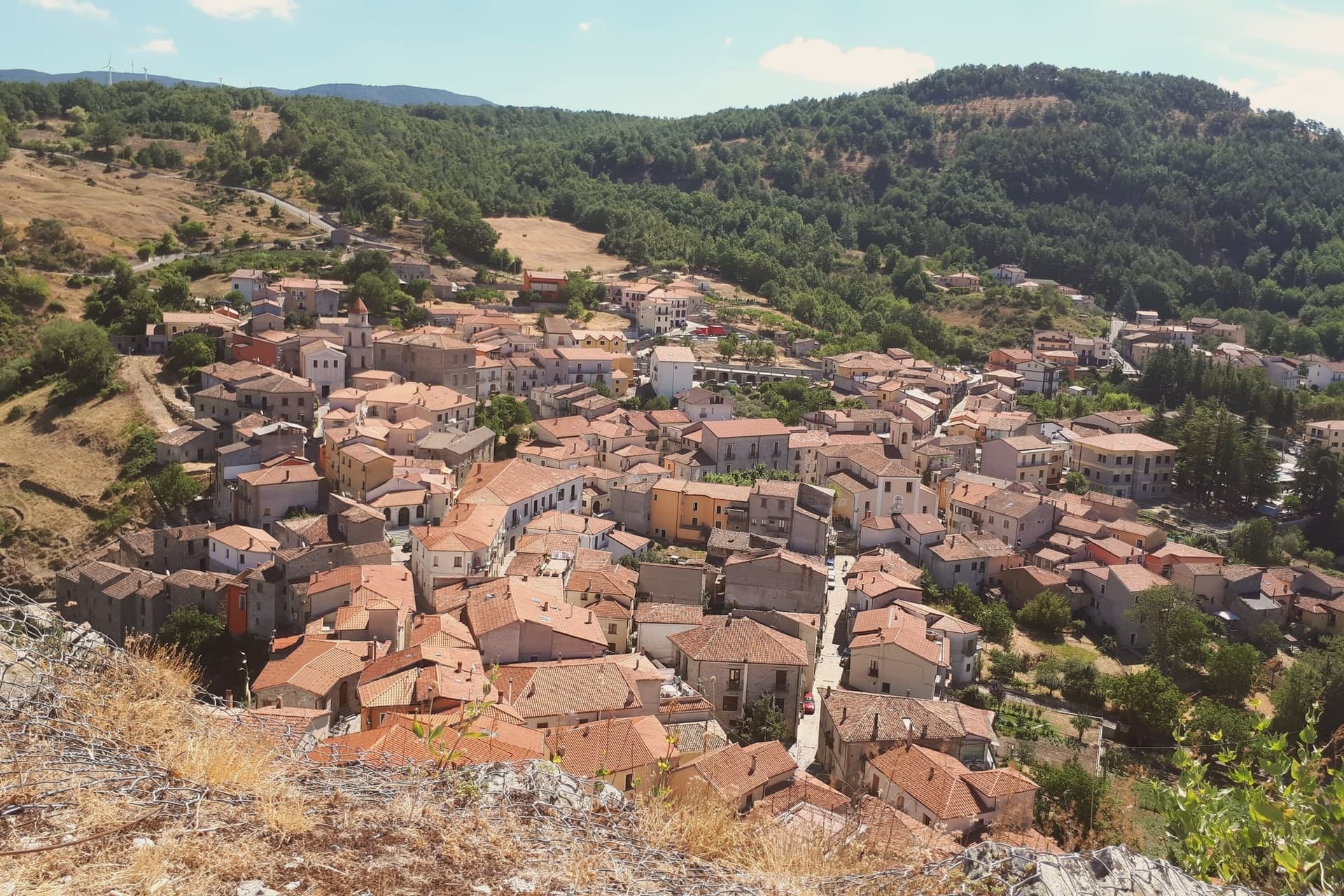
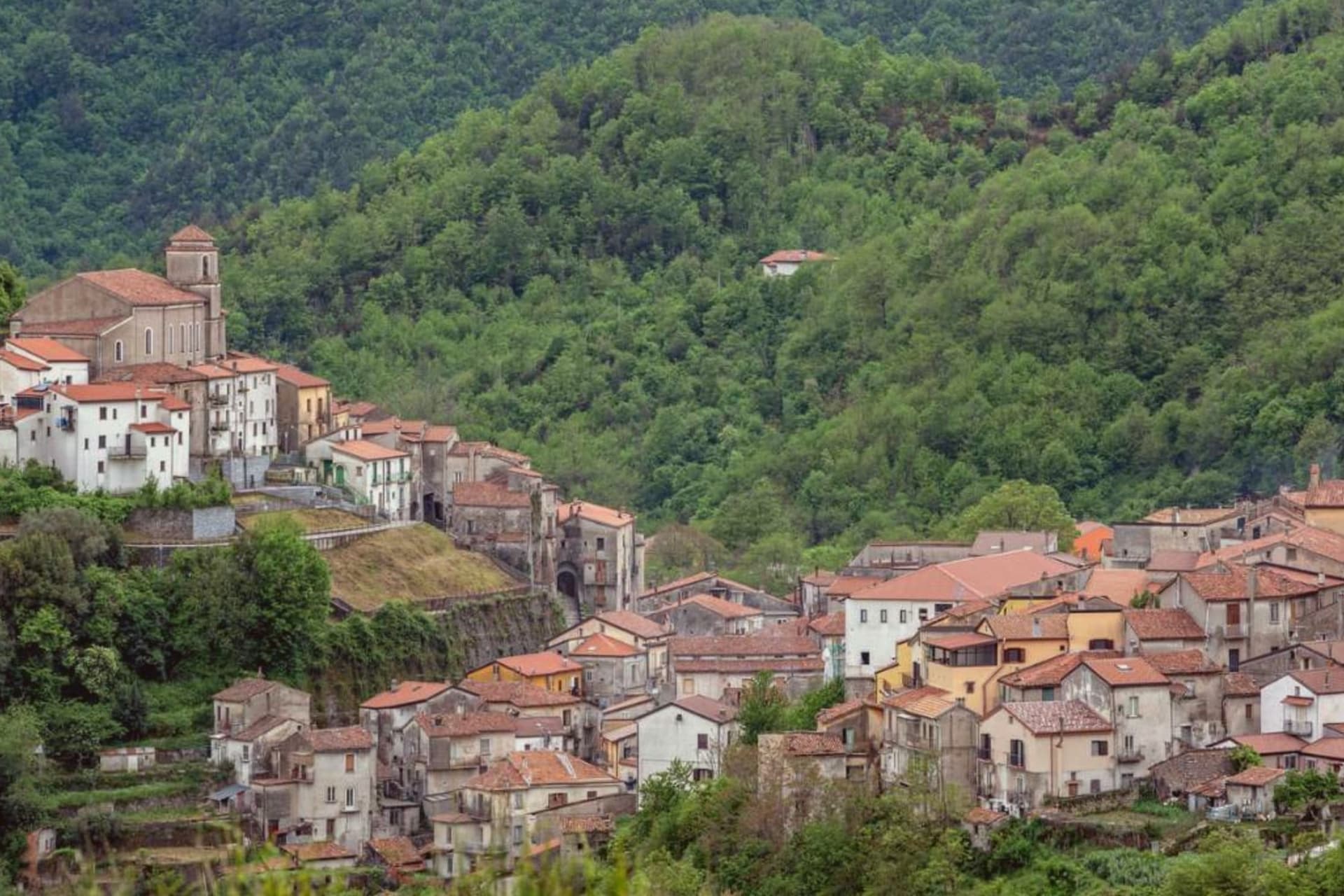
Medieval old village on the castle promontory and tree-lined modern Piano below, joined by the wooded slope that separates them.
CANESTRATO DI MOLITERNO
The commune lies inside the Canestrato di Moliterno IGP production zone.
When to visit
Best · May–Oct
- J9°
- F11°
- M11°
- A14°
- M19°
- J24°
- J27°
- A27°
- S23°
- O19°
- N14°
- D10°
- Best
- Hot or crowded
- Quiet
- Mostly closed
Daytime averages, 2020–2024. Weather data by Open-Meteo.com.
The festa: Nicola di Bari, ultima domenica di maggio
Why come
Byzantine monks established the settlement between the ninth and tenth centuries on a defensive promontory between the Noce and Cogliandrino streams, the position that gives the valley its name. The town divides cleanly in two: the old village climbs around the castle ruins and the parish church, while the modern town spreads from the tree-lined Piano square below, the wooded slope between them marking the line where medieval stone gives way to nineteenth-century planning. The church holds the tomb local tradition assigns to the Florentine model of Leonardo's Mona Lisa, said to have died here in 1506.
Lake Sirino at 788 meters and the glacial Lake Laudemio at 1,525 meters both lie within twenty minutes of the town, under the same mountain wall that shelters it. The town's two halves and the legend it keeps in spite of the evidence against it both point to the same trait: a place defined by what it holds onto, geographically and otherwise.
The Sunday letter
Lagonegro is on our list. Its letter is still to come.
We are writing about all 1,000 of these towns, one at a time, in a free letter every Sunday: the photo, the food, the festa. That is our mission. Sign up and you will be there when Lagonegro comes up. By Peter & Sophia, from Pietrasanta.
Read on
Lagonegro in our articles
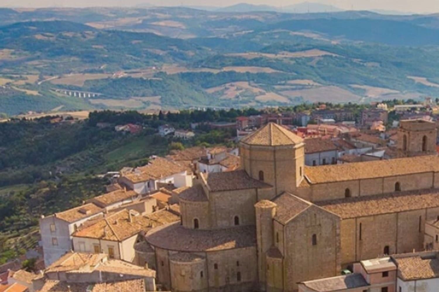
 The best cheese towns within 90 minutes of Salerno7 towns, Lagonegro among them.
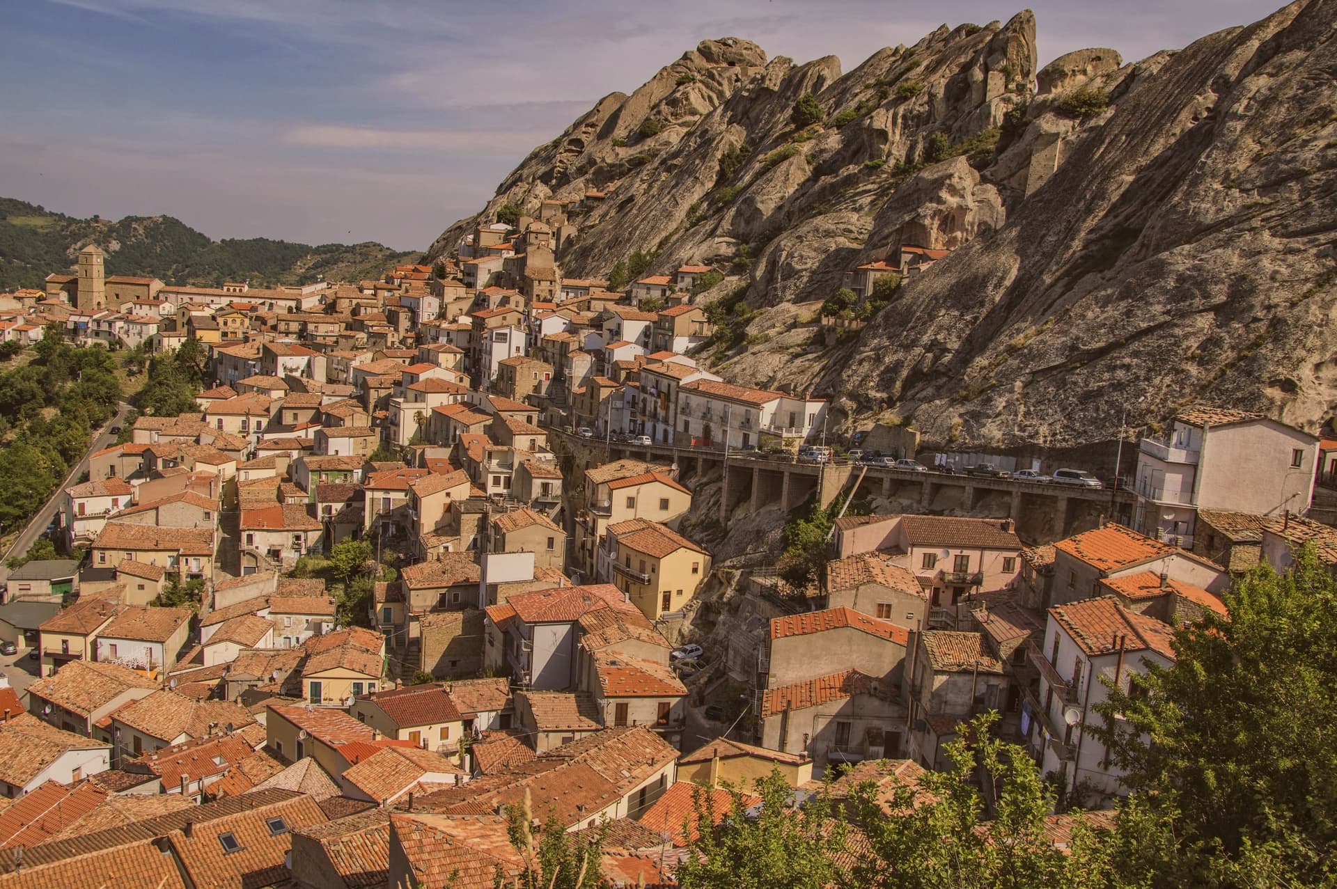
 The best hidden towns you can reach by train in Basilicata7 towns, Lagonegro among them.
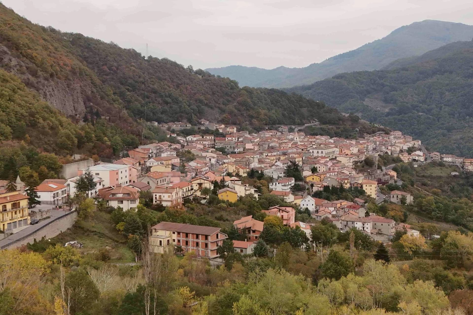
 The best towns with a food festival in Basilicata7 towns, Lagonegro among them.
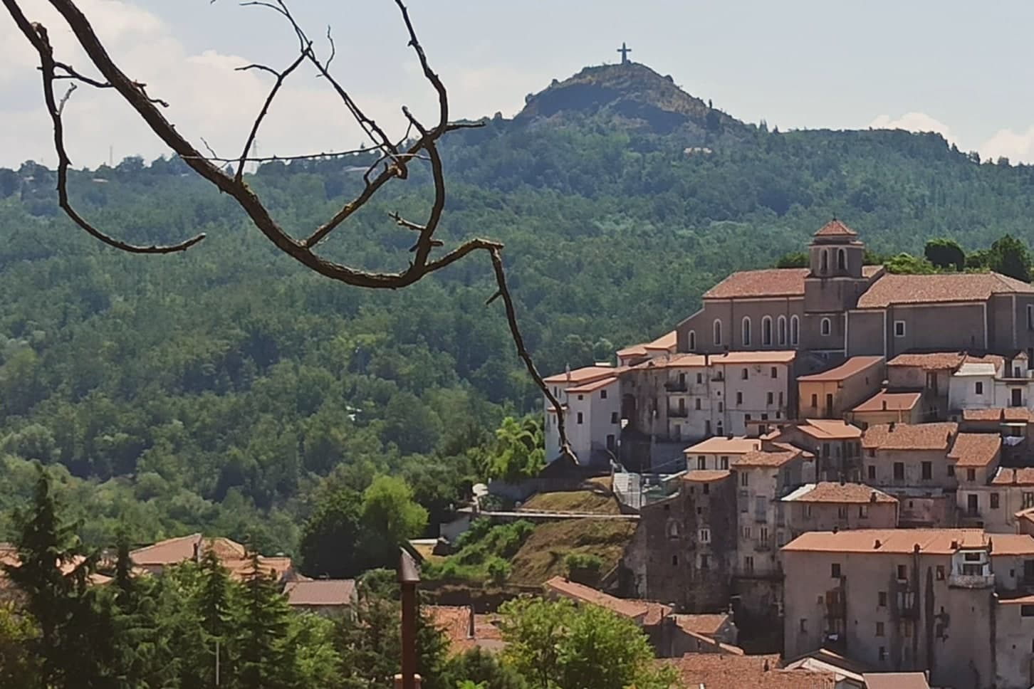
 The 8 best towns inside a national park in the province of Potenza8 towns, Lagonegro among them.
How to get there
From Naples / Salerno (NAP), about 2h 8m by car.
Lamezia / Reggio (SUF) is about 2h 37m away.
By car from the centre of Salerno 1h 25m, Naples 2h 8m or Bari 3h 17m.
There is a railway station in the comune, so you can arrive without a car.
Coming from Naples?
Coming by train into Salerno? Lagonegro is about 1h 27m away by road.
What to see
Chiesa di San Nicola
Tenth-century church in the old village, holds the tomb local tradition assigns to Lisa del Giocondo and two sculptures by Altobello Persio.
Castello feudale
Ruins of the feudal fortress on the promontory of the old village, the original Byzantine and later Norman defensive anchor of the Valle del Noce.
Borgo antico
Stone-built medieval core climbing around the castle ruins, separated by the wooded slope from the modern town below.
Piano
Large tree-lined square of the lower town, the social centre of modern Lagonegro and the main civic axis since the nineteenth century.
Lago Laudemio (Remmo)
Glacial lake at 1,525 meters on the northern slope of Monte Sirino, the southernmost glacial lake in Italy and a national park reserve.
Monte Sirino
Mountain wall at 2,005 meters above the town, ski station on the northern slope and walking territory in summer for the Appennino Lucano park.
The slow-trip planner
Building a trip? Find where Lagonegro fits in a slow Italy circuit.
Answer five questions. We will shape a geographically coherent slow trip from the 1,000 Italian towns most travelers skip. Yours to save and share.
Through the year
What happens here
Feasts and festivals that come back year after year. We give the month rather than the date, because the date moves and the month rarely does. Check with the source before you plan a journey around one.
Festa lagane e fagiolifood festival
usually held in August. I Sassi di Matera - Eventi Basilicata
Living here
- Population 5,042
- Remotei
- Pharmacy in town
- High school within a 30-minute drive
- Train station in the comune
- Nearest airport Naples / Salerno, 2 h 8 min drive
- Regional capital Potenza, 1 h 20 min drive
Common questions
- What is Lagonegro known for?
- Lagonegro is a 666-meter town founded by Byzantine monks on a defensive promontory, split between a medieval castle village and a modern square below.
- Where is Lagonegro?
- Lagonegro is a comune in the province of Potenza, in Basilicata, at 666 meters above sea level.
- What is the nearest airport to Lagonegro?
- Naples / Salerno (NAP), about 2h 8m by car.
- Can you get to Lagonegro without a car?
- Yes. There is a railway station in the comune, so you can arrive by train.
- How long is the drive from Salerno to Lagonegro?
- About 1h 25m by car.
- When is the best time to visit Lagonegro?
- Best in May–Oct. July is the warmest month, averaging 27 degrees, and November the wettest, with about 15 rain days.
- Is there a sagra or a festival in Lagonegro?
- Yes. Festa lagane e fagioli. August is when the first of them falls.
- Which other towns are like Lagonegro?
- Padula, Sterzing and Castel di Sangro.
- How many people live in Lagonegro?
- 5,042 at the 2023 count.
Tags & datadesignations · numbers · sources
Recognised as
The numbers
- Elevation: 666 m
- Population: 5,042
- Surface area: 113.07 km²
These figures were compiled from public directories: ISTAT, OpenStreetMap and Wikidata, and from the official listings of the guides named on this page. Town details change; verify with official sources before you travel.
Similar
Towns like Lagonegro
Padula
Province: Salerno
both mountain-valley towns · both between 3,000 and 10,000 people
Sterzing
Province: Bolzano
both mountain-valley towns · both between 3,000 and 10,000 people
Castel di Sangro
Province: L'Aquila
both mountain-valley towns · both between 3,000 and 10,000 people
Nusco
Province: Avellino
both mountain-valley towns · both between 3,000 and 10,000 people
Viggiano
Province: Potenza
both mountain-valley towns · both between 3,000 and 10,000 people
Teggiano
Province: Salerno
both mountain-valley towns · both between 3,000 and 10,000 people
🌲 Parco Nazionale
More Parco Nazionale towns in Basilicata
Calvello
Province: Potenza
A 730-meter ceramic town working clay since 1200, when Benedictines from Faenza brought the wheel south.
Latronico
Province: Potenza
A mountain town at 888 meters on the northern edge of the Pollino, with two prehistoric thermal springs at the Calda hamlet below.
Rivello
Province: Potenza
A 479-meter ridge above the Noce valley where Lombards and Byzantines lived side by side, holding Latin and Greek rites until the seventeenth century.
Rotonda
Province: Potenza
The Pollino park's Lucanian gateway: a 3,171-resident borgo at 626m on the Basilicata/Calabria border, headquarters for the Parco Nazionale del Pollino, Italy's largest national park, with the Loricato pine forests immediately above town.
Sasso di Castalda
Province: Potenza
A 949-meter village in the Lucanian Apennines whose emigrants produced the engineer who launched Apollo 11, now crossed by a 300-meter Tibetan footbridge.