
Sardinia · Nuoro
Dorgali
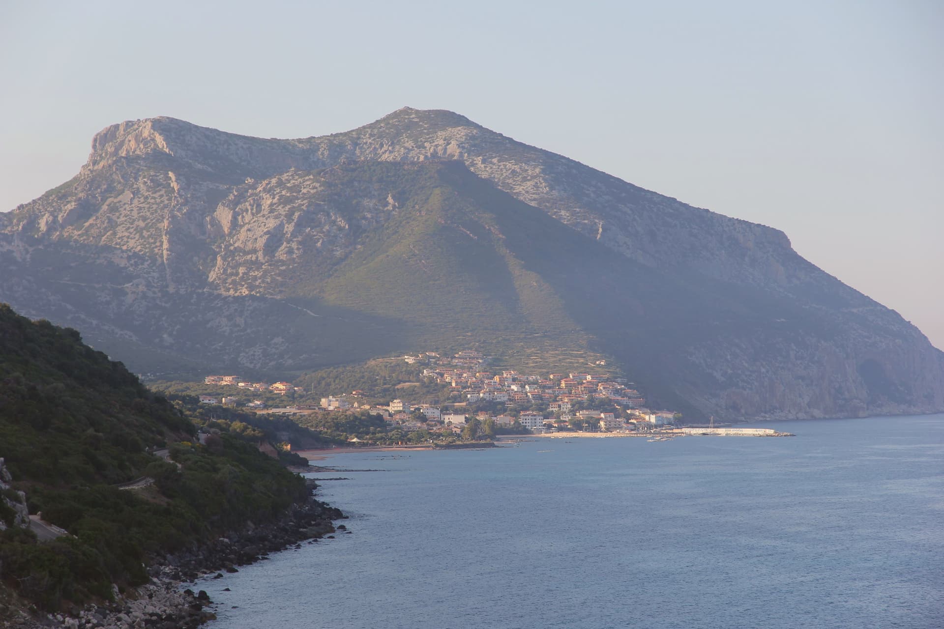
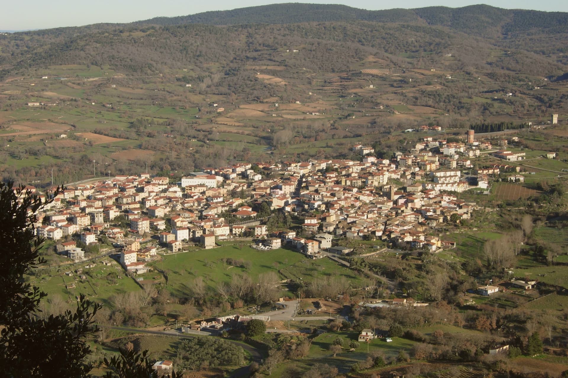
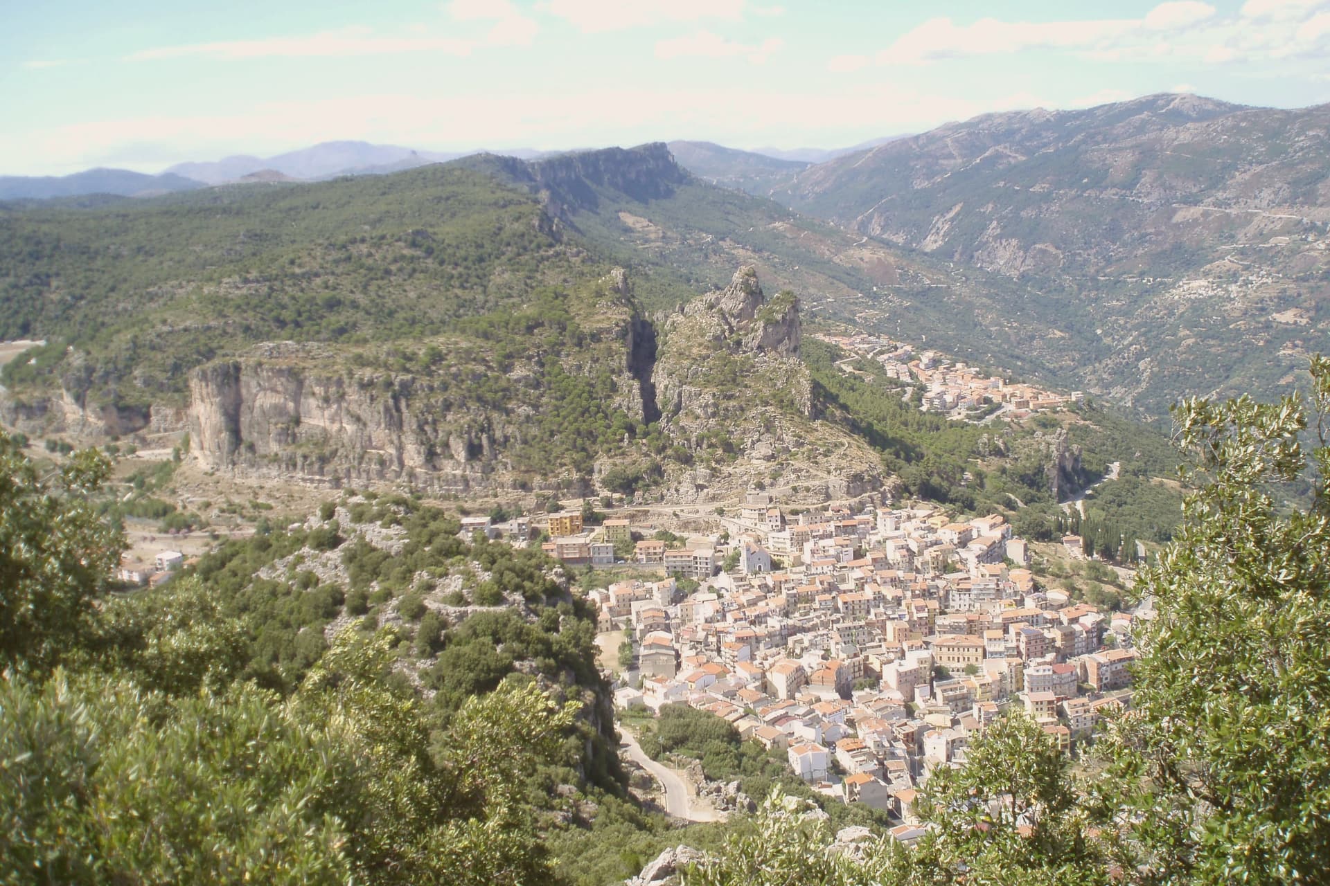
A Supramonte town, with a coastal frazione, a Nuragic village hidden in a sinkhole, and a limestone gorge cut through the massif to the south.
- Best time
- Apr–Jun, Sep–Nov
- By car
- 3 h 24 min from Cagliari
- Population
- 8,333
Known for
TISCALI
Nuragic village hidden inside a sinkhole on Monte Tiscali, dwellings built between the 15th and 8th centuries BC, water harvested from the cave walls.
SU GORROPU
400-metre limestone canyon of the Rio Flumineddu, one of Europe's highest, habitat for the endemic Aquilegia nuragica.
GULF OF OROSEI
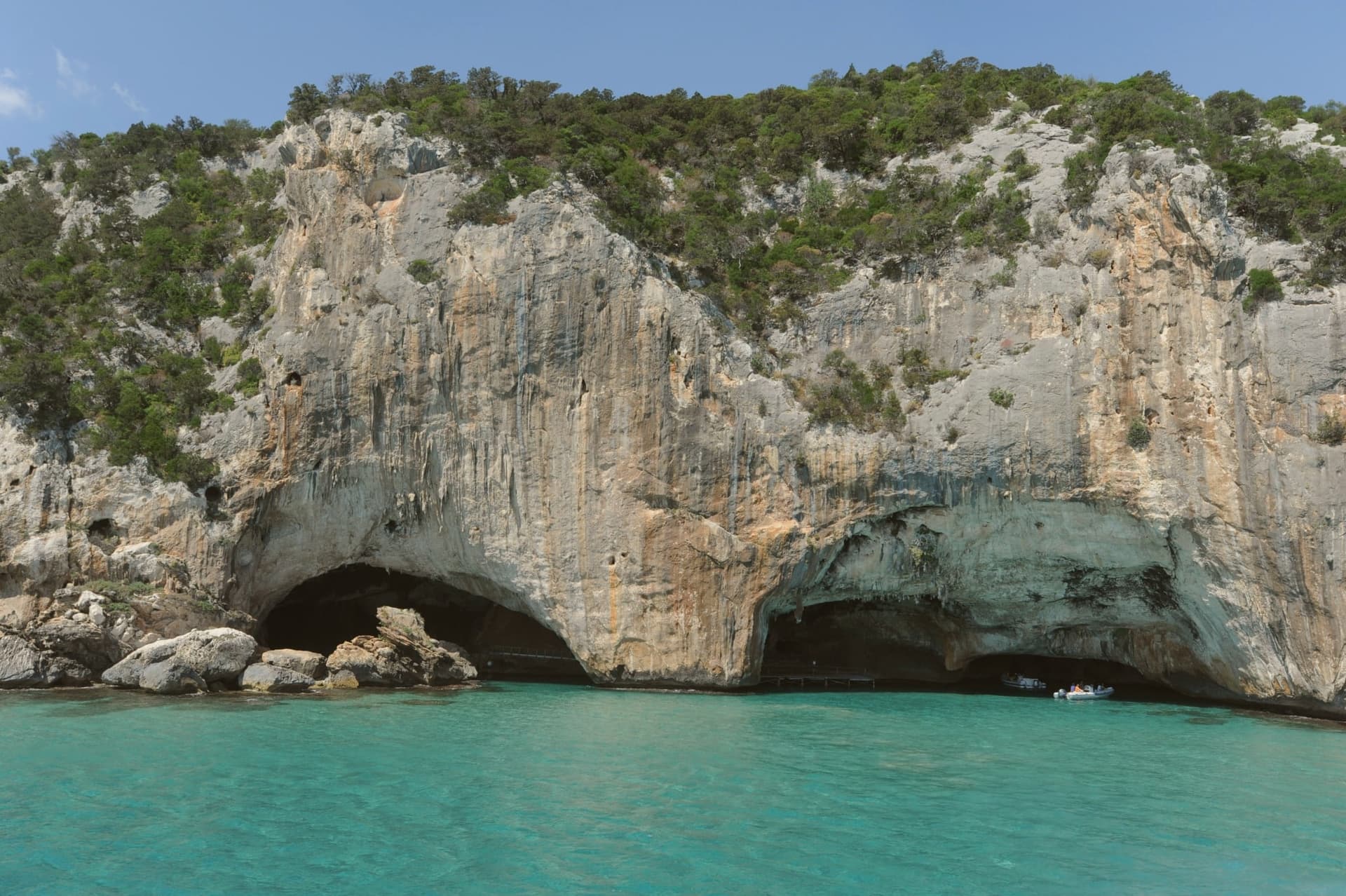
Wild coast of caves, calette, and limestone cliffs reached by boat from Cala Gonone, the most filmed stretch of Sardinian coastline.
When to visit
Best · Apr–Jun, Sep–Nov
- J13°
- F15°
- M15°
- A18°
- M23°
- J28°
- J33°
- A32°
- S27°
- O23°
- N17°
- D14°
- Best
- Hot or crowded
- Quiet
- Mostly closed
Daytime averages, 2020–2024. Weather data by Open-Meteo.com.
The festa: Caterina d'Alessandria, 25 November
Why come
Dorgali sits on the seaward side of the Supramonte, ten kilometers from the coast, its municipal territory covering 225 square kilometers, one of the largest in the province of Nuoro. The coastal frazione holds a thousand residents in winter and fifteen thousand in August, facing the Gulf of Orosei from a small bay reached by a tunnel through the limestone. North of the town, a sinkhole opens into the massif, the ground beneath it inhabited across centuries before the first millennium BC.
South of the town, a river has cut through the same limestone to leave one of the deepest canyons in Europe, its walls holding a plant found nowhere else. The Cantina Sociale di Dorgali, founded in 1953, vinifies 90 percent of its production from Cannonau across 550 hectares of vineyards in the surrounding communes. The whole territory lies inside the Parco Nazionale del Golfo di Orosei e del Gennargentu. What connects the coast, the sinkhole, and the gorge is the same limestone mass, worn by water into a cave dwelling in one place and a canyon in another, with the town itself set at the point where the massif starts its descent to the sea.
The Sunday letter
Dorgali is on our list. Its letter is still to come.
We are writing about all 1,000 of these towns, one at a time, in a free letter every Sunday: the photo, the food, the festa. That is our mission. Sign up and you will be there when Dorgali comes up. By Peter & Sophia, from Pietrasanta.
Read on
Dorgali in our articles
 The best wine towns in the province of Nuoro6 towns, Dorgali among them.
 The best hill towns in the province of Nuoro7 towns, Dorgali among them.
 The best towns inside a national park in the province of Nuoro8 towns, Dorgali among them.
 The best hidden towns that eat well in Sardegna9 towns, Dorgali among them.
How to get there
From Cagliari (CAG), about 3h 42m by car.
What to see
Villaggio nuragico di Tiscali
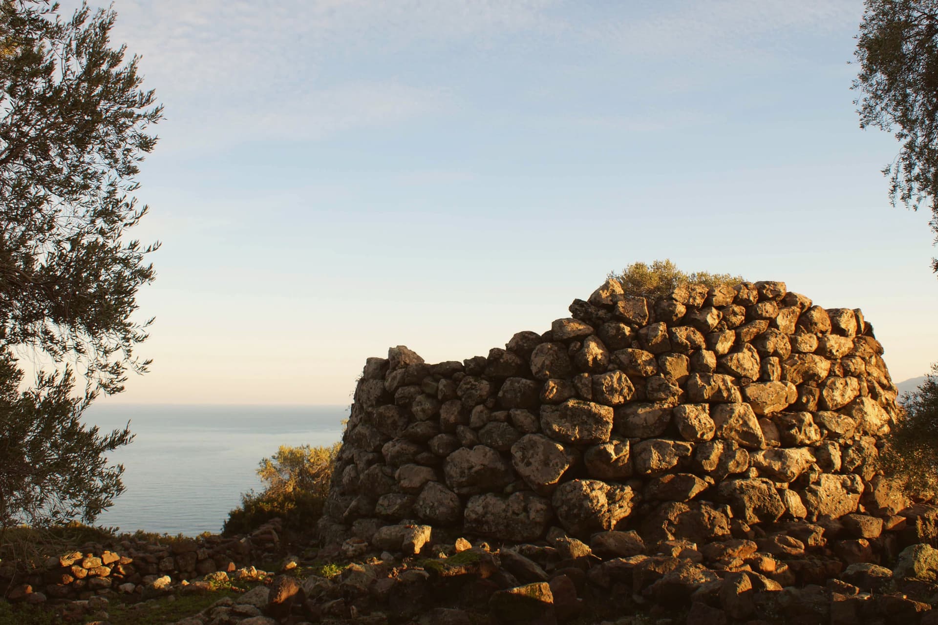
Bronze Age village at 518 metres, reached by two hours of hiking through Supramonte limestone before the sinkhole opens underfoot.
Gola di Su Gorropu
Walls rising sheer from the canyon floor, among the deepest gorges in Europe, the gorge narrow enough that daylight reaches the bottom for only part of the day.
Cala Gonone
Coastal frazione of Dorgali on the Gulf of Orosei, ten kilometers from the town, the harbor for boat access to the wild beaches south.
Cala Luna
Beach of fine sand backed by limestone caves at the mouth of the Codula di Luna, reached on foot from Cala Fuili or by boat.
Cantina Sociale di Dorgali
Cooperative cellar founded in 1953, 550 hectares of vineyards across surrounding communes, 90 percent Cannonau, the wine anchor of the Baronie.
Nuraghe Mannu
Late Bronze Age nuraghe on a coastal terrace above the bay, with a partially preserved village around its base.
The slow-trip planner
Building a trip? Find where Dorgali fits in a slow Italy circuit.
Answer five questions. We will shape a geographically coherent slow trip from the 1,000 Italian towns most travelers skip. Yours to save and share.
We recommend
Where to eat
Not our picks, but places the guides put their name to: a Michelin star, a Gambero Rosso fork, a Slow Food snail, a Michelin Key for the hotels. Worth a table, a counter, or a night when you pass through.
IspinigoliRistorante
One Gambero Rosso fork (79/100), at Ispinigoli.
Living here
- Population 8,333
- Very remotei
- Pharmacy in town
- High school within a 30-minute drive
- Nearest airport Cagliari, 3 h 42 min drive
- Regional capital Cagliari, 3 h 24 min drive
Common questions
- What is Dorgali known for?
- Dorgali is a Supramonte town at 387 meters, with a coastal frazione, a Nuragic village hidden in a sinkhole, and a limestone gorge cut through the massif to the south.
- Where is Dorgali?
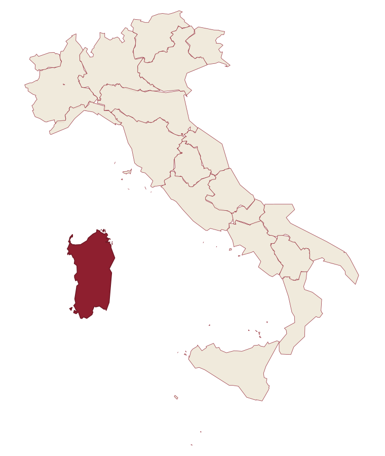
- Dorgali is a comune in the province of Nuoro, in Sardinia.
- What is the nearest airport to Dorgali?
- Cagliari (CAG), about 3h 42m by car.
- When is the best time to visit Dorgali?
- Best in Apr–Jun, Sep–Nov. July is the warmest month, averaging 33 degrees, and November the wettest, with about 11 rain days.
- Is there a sagra or a festival in Dorgali?
- The town keeps its patron saint's day: Caterina d'Alessandria, 25 November.
- Which other towns are like Dorgali?
- Oliena, Baunei and Jerzu.
- How many people live in Dorgali?
- 8,333 at the 2023 count.
Tags & datadesignations · numbers · sources
Recognised as
The numbers
- Elevation: 387 m
- Population: 8,333
- Surface area: 226.54 km²
These figures were compiled from public directories: ISTAT, OpenStreetMap and Wikidata, and from the official listings of the guides named on this page. Town details change; verify with official sources before you travel.
Similar
Towns like Dorgali
Oliena
Province: Nuoro
both inland in Sardinia · both between 3,000 and 10,000 people
Baunei
Province: Nuoro
both inland in Sardinia · both between 3,000 and 10,000 people
Jerzu
Province: Nuoro
both inland in Sardinia · both between 3,000 and 10,000 people
Tempio Pausania
Province: Sassari
both inland in Sardinia · both hill towns
Camerota
Province: Salerno
both between 3,000 and 10,000 people · both hill towns
Vico del Gargano
Province: Foggia
both between 3,000 and 10,000 people · both hill towns
🌲 Parco Nazionale
More Parco Nazionale towns in Sardinia
Aritzo
Province: Nuoro
A Mandrolisai mountain village at 800 meters in chestnut and hazelnut forest, where snow once travelled out in straw and came back as lemon sorbet.
Atzara
Province: Nuoro
A Mandrolisai wine village on the western Gennargentu, painted in the early twentieth century by Spanish costumbristas and the Sardinian Scuola di Atzara.
Baunei
Province: Nuoro
A village at 480 meters on the Monte Santo limestone ridge, its territory holding a national-monument beach and a trek regularly called Italy's hardest.
Fonni
Province: Nuoro
The highest village in Sardinia at 1,000 meters on the Gennargentu, with ski lifts climbing above the town and the Madonna dei Martiri sanctuary at its edge.
Gavoi
Province: Nuoro
A 777-meter Barbagia hilltop village above Lake Gusana with a Bandiera Arancione of the Touring Club, the country's most-attended summer literary festival (L'Isola delle Storie), and the PDO Fiore Sardo pecorino made here for at least three centuries.