
Known for
BENEDICTINE ABBEY
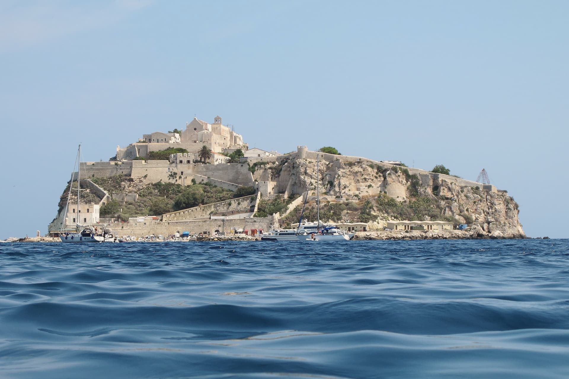
Santa Maria a Mare on San Nicola, fortified abbey ruling the islands from the eleventh century, with mosaic floor and surviving abbey-castle walls.
MARINE RESERVE
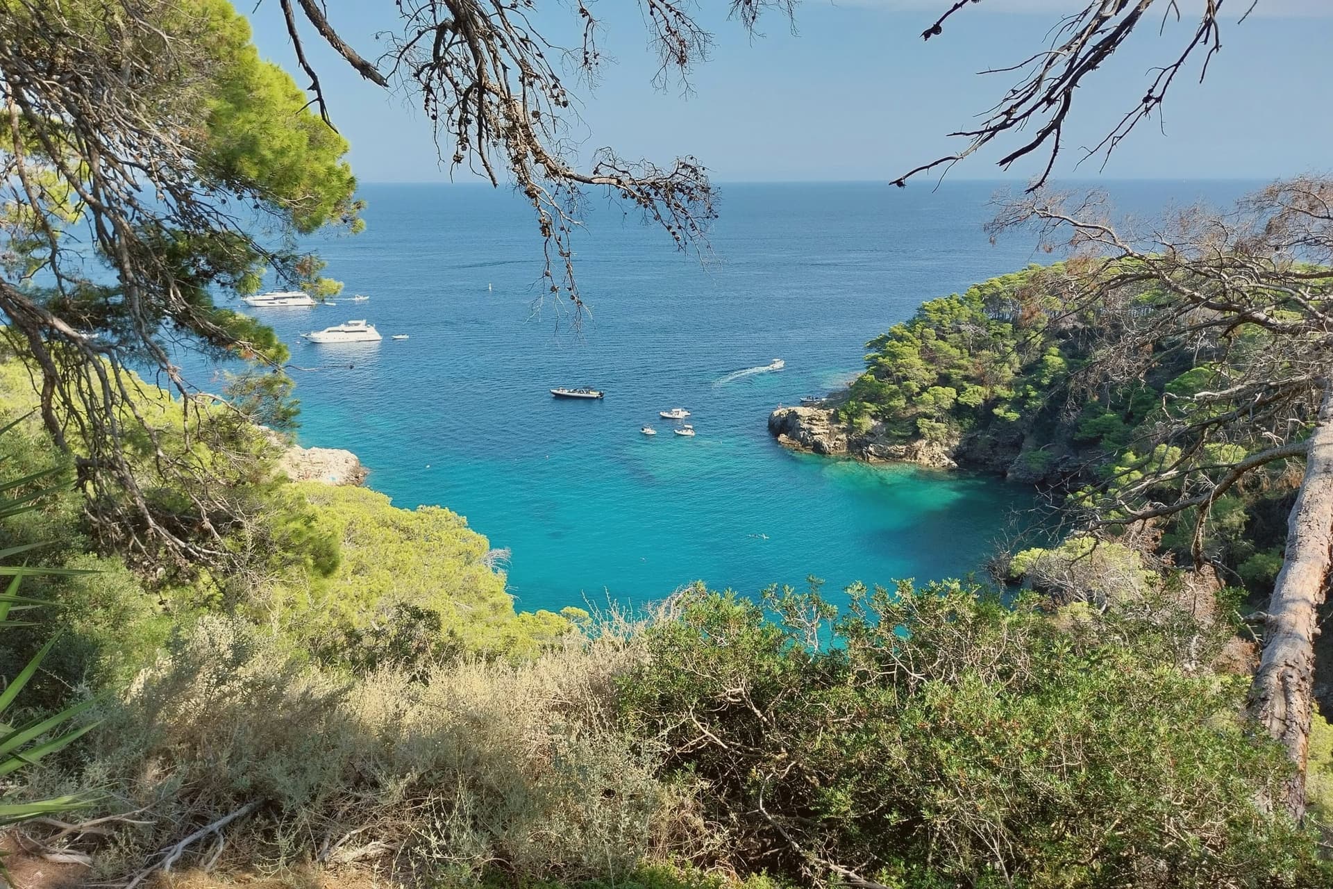
Open-sea protected area inside the Parco Nazionale del Gargano, with limestone cliffs, sea caves, and some of the clearest water in the Italian Adriatic.
PLACE OF CONFINEMENT
Two thousand years as a prison: Libyan resisters in 1911, Pertini and the antifascist confinati in the 1920s, six hundred gay men deported in 1938.
When to visit
Best · May–Sep
- J12°
- F13°
- M13°
- A14°
- M19°
- J23°
- J26°
- A27°
- S24°
- O20°
- N17°
- D14°
- Best
- Hot or crowded
- Quiet
- Mostly closed
Daytime averages, 2020–2024. The sea is warmest in July at 28° and coldest in February at 14°. Weather data by Open-Meteo.com.
The festa: Assunzione di Maria, 15 August
Why come
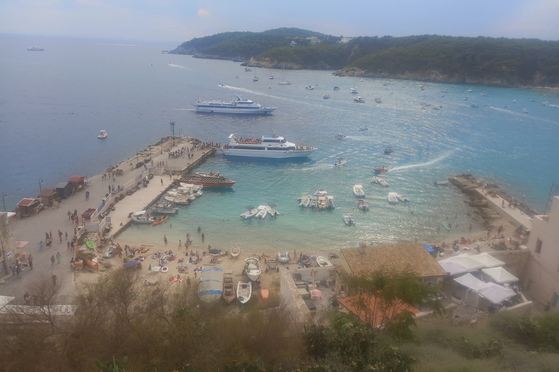
Five islands make up the group: San Domino, the abbey island, Capraia, Cretaccio and Pianosa. Only San Domino and the abbey island are inhabited, with 479 residents between them. Ancient sources called the group the Insulae Diomedaee, for the Greek hero said to be buried here.
The name sits alongside a much later use of the same isolation: for two thousand years the islands have served as a place of confinement, from Libyan resisters in 1911 to Sandro Pertini and the antifascist confinati in the 1920s to six hundred gay men deported here by Mussolini in 1938. San Domino carries the woods, the one sand beach, and the village above its harbor. The abbey island carries the fortress and the church that once governed the group.
The other three, Capraia, Cretaccio and Pianosa, are uninhabited, with Pianosa the furthest out and the most restricted. The distance that made the archipelago a natural prison for two thousand years is the same distance that now keeps its water among the clearest in the Italian Adriatic.
The Sunday letter
Isole Tremiti is on our list. Its letter is still to come.
We are writing about all 1,000 of these towns, one at a time, in a free letter every Sunday: the photo, the food, the festa. That is our mission. Sign up and you will be there when Isole Tremiti comes up. By Peter & Sophia, from Pietrasanta.
Read on
Isole Tremiti in our articles
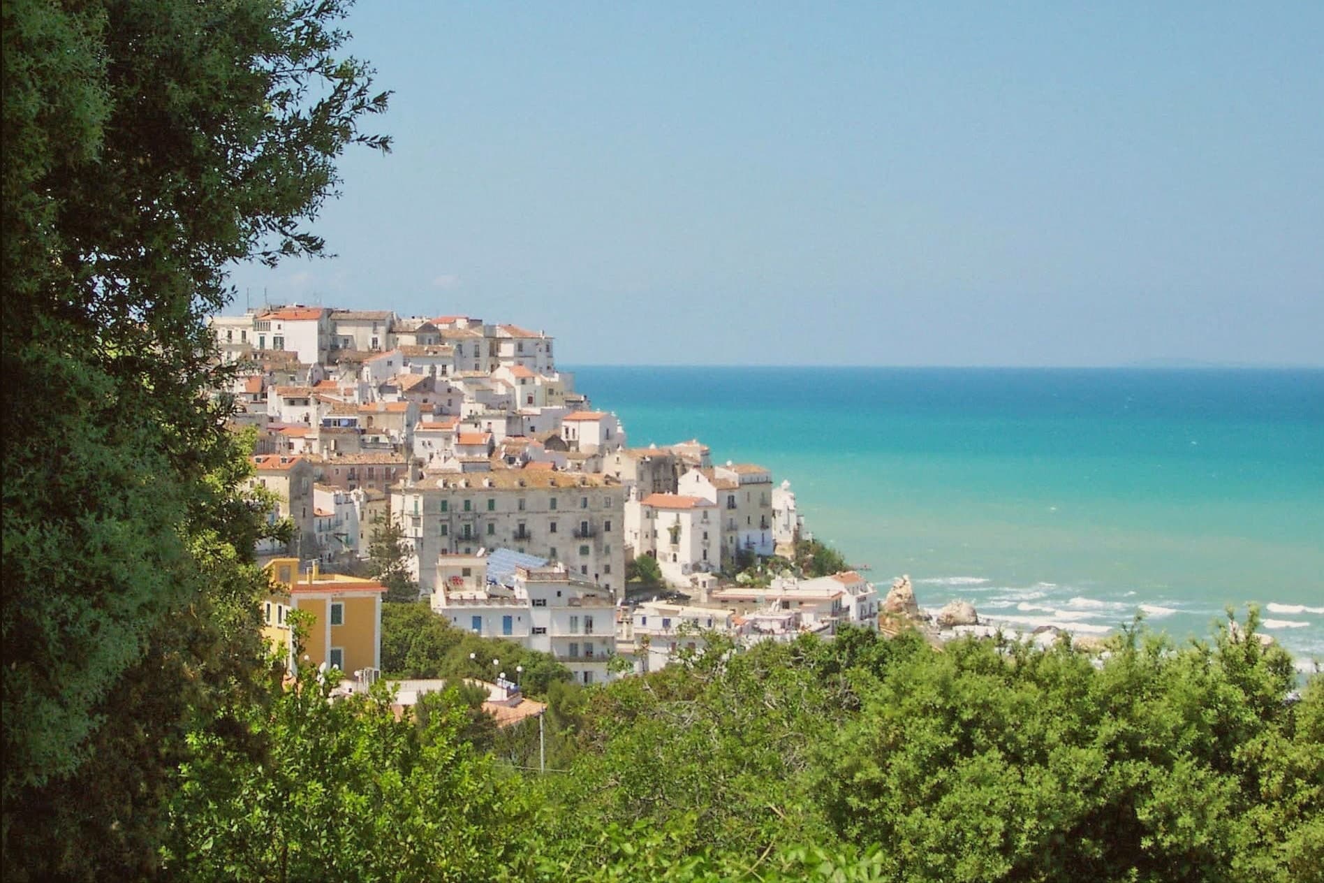 The best towns inside a national park in the province of Foggia8 towns, Isole Tremiti among them.
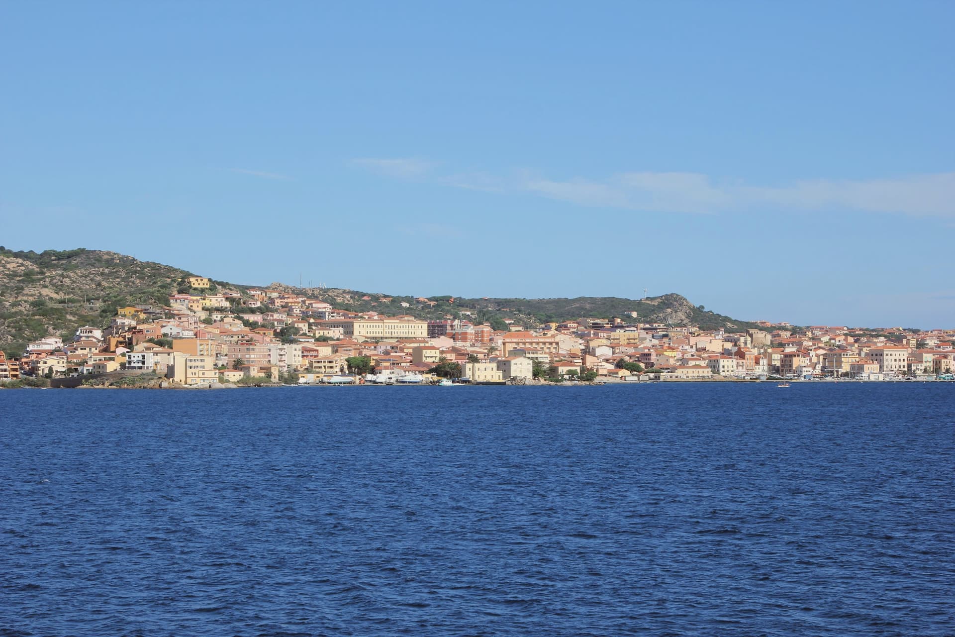 Alternatives to Capri: every island town in Italy, in one list16 towns, Isole Tremiti among them.
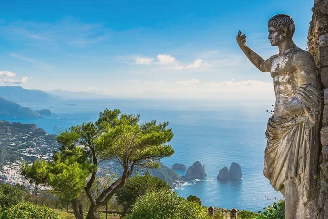 Italy's island towns18 towns, Isole Tremiti among them.
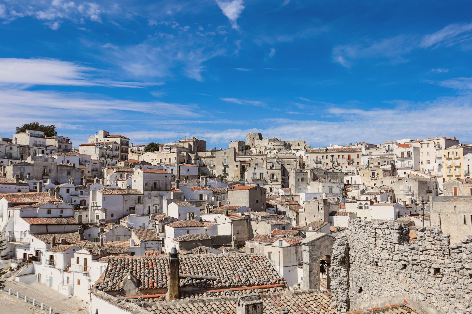 Alternatives to Alberobello: every small town in Puglia, trulli or not41 towns, Isole Tremiti among them.
How to get there
Isole Tremiti is on an island and is reached by ferry.
What to see
Abbazia di Santa Maria a Mare
The abbey church stands on the high terrace of San Nicola, above the harbor. Inside, a mosaic floor and a polyptych altarpiece survive from the monastery's working centuries.
Castello dei Badiali
The fortified circuit the Benedictines built around the abbey to hold off pirate raids. Walls and watchtowers remain in place around San Nicola.
San Domino
Largest and most forested island, with Aleppo pine woods, the only sand beach in the archipelago at Cala delle Arene, and the village above the harbor.
Grotte di San Domino
Sea caves carved into the limestone cliffs of San Domino, the Grotta del Bue Marino and the Grotta delle Viole the best-known, reached by boat.
Pianosa
Northernmost island of the group, uninhabited and accessible only with permit, the strictest zone of the marine protected area.
The slow-trip planner
Building a trip? Find where Isole Tremiti fits in a slow Italy circuit.
Answer five questions. We will shape a geographically coherent slow trip from the 1,000 Italian towns most travelers skip. Yours to save and share.
Through the year
What happens here
Feasts and festivals that come back year after year. We give the month rather than the date, because the date moves and the month rarely does. Check with the source before you plan a journey around one.
Festa dell'Assunzione e Festa patronale di Santa Assuntapatron saint's feast
usually held in August. La Terra di Puglia - Eventi in Puglia (guida mensile)
Living here
- Population 479
- Very remotei
- Pharmacy in town
- Regional capital Bari, 12 h 11 min drive
Common questions
- What is Isole Tremiti known for?
- Isole Tremiti is an Adriatic archipelago of five islands twenty-two kilometers off the Gargano, the only Italian commune scattered across an open-sea group.
- Where is Isole Tremiti?
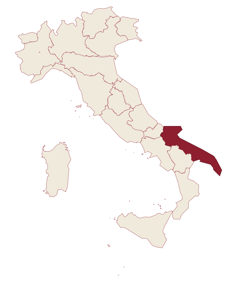
- Isole Tremiti is a comune in the province of Foggia, in Apulia, at 116 meters above sea level.
- How do you get to Isole Tremiti?
- Isole Tremiti is on an island and is reached by ferry.
- When is the best time to visit Isole Tremiti?
- Best in May–Sep. August is the warmest month, averaging 27 degrees, and November the wettest, with about 13 rain days.
- Is there a sagra or a festival in Isole Tremiti?
- Yes. Festa dell'Assunzione e Festa patronale di Santa Assunta. August is when the first of them falls.
- Which other towns are like Isole Tremiti?
- Capraia Isola, Ventotene and Rodi Garganico.
- How many people live in Isole Tremiti?
- 479 at the 2023 count.
Tags & datadesignations · numbers · sources
Recognised as
The numbers
- Elevation: 116 m
- Population: 479
- Surface area: 3.18 km²
On the map
These figures were compiled from public directories: ISTAT, OpenStreetMap and Wikidata, and from the official listings of the guides named on this page. Town details change; verify with official sources before you travel.
Similar
Towns like Isole Tremiti
Capraia Isola
Province: Livorno
both under 1,000 people · both near sea level
Ventotene
Province: Latina
both under 1,000 people · both near sea level
Rodi Garganico
Province: Foggia
both on the Adriatic coast · both near sea level
Peschici
Province: Foggia
both on the Adriatic coast · both near sea level
Vieste
Province: Foggia
both on the Adriatic coast · both near sea level
Ustica
Province: Palermo
both near sea level · both islands, reached by ferry
🟦 Bandiera Blu
More Bandiera Blu towns in Apulia
Bisceglie
Province: Barletta-Andria-Trani
An Adriatic port town between Trani and Molfetta, named for Roman watchtowers, with five dolmens around it and a Norman cathedral begun in 1073.
Carovigno
Province: Brindisi
An upper Salento hill town between Brindisi and Ostuni, with a marine reserve on its coast.
Castellaneta
Province: Taranto
A cliff-edge Murge town at 235 meters above the Gravina Grande canyon, birthplace of Rudolph Valentino in 1895, with a Bandiera Blu Ionian marina.
Fasano
Province: Brindisi
A Brindisi-province town running from the Adriatic up to the Itria escarpment, holding a Roman coastal city, a wooded highpoint, and Europe's second-largest safari park.
Gallipoli
Province: Lecce
The Ionian beach city on a limestone island, Greek Kallipolis meaning beautiful city, tied to the mainland by a seventeenth-century bridge.