
Lombardy · Brescia
Ponte di Legno
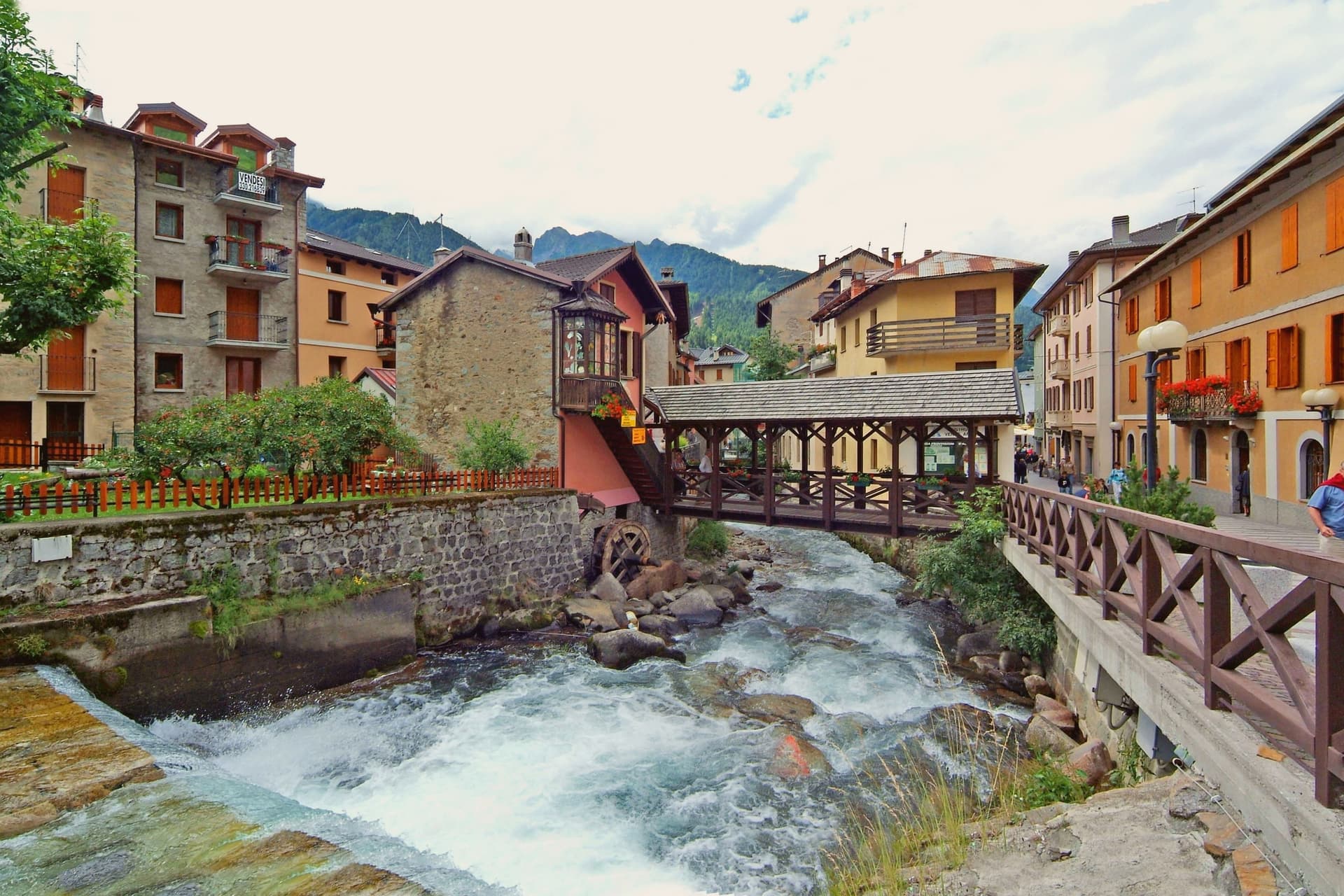
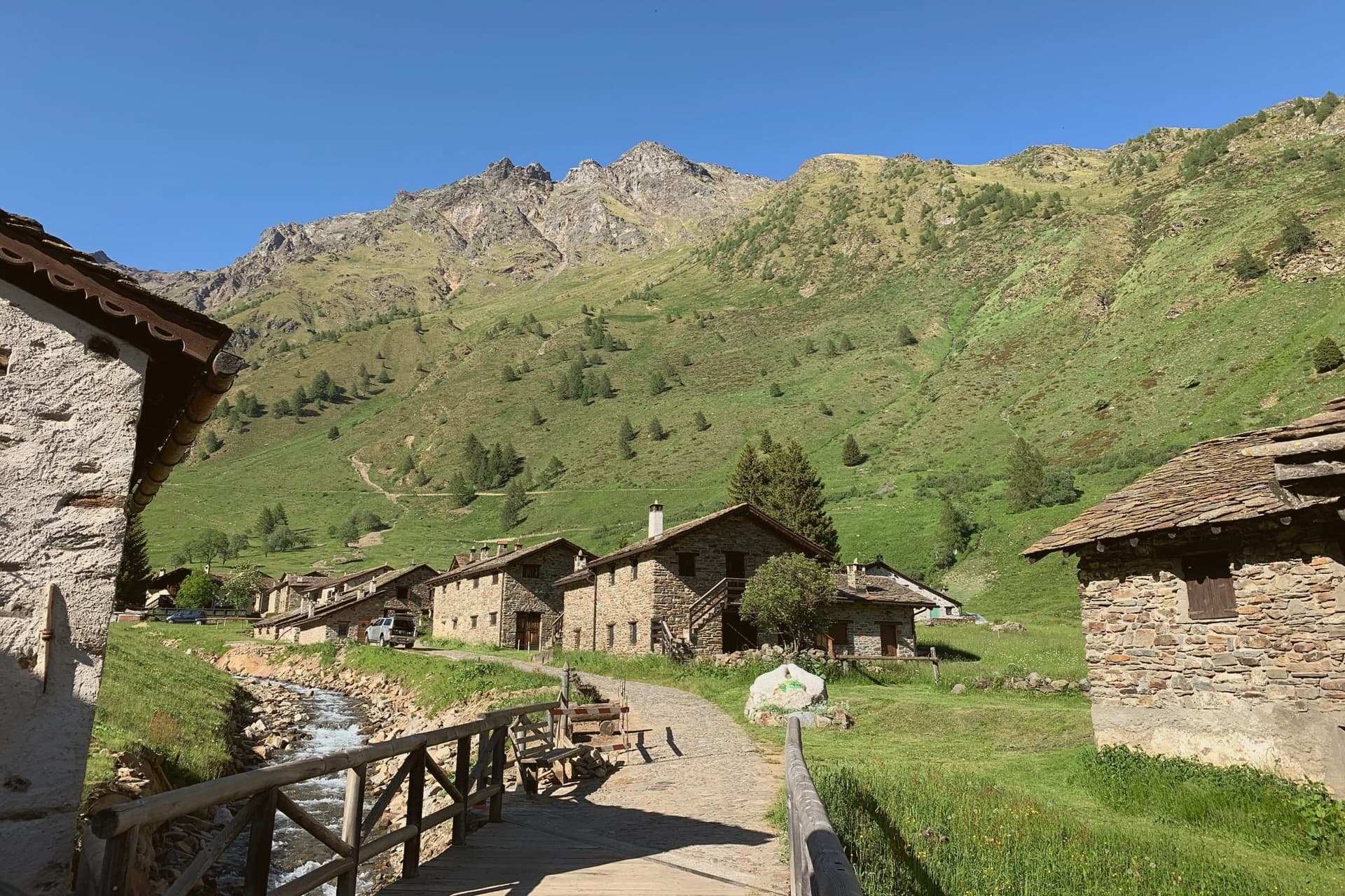
The uppermost commune in the province, 1,257 meters up, where two streams meet under the Adamello range to form a river.
- Best time
- Jun–Sep, Dec–Mar
- By car
- 1 h 38 min from Trento
- Population
- 1,745
Known for
ADAMELLO SKI
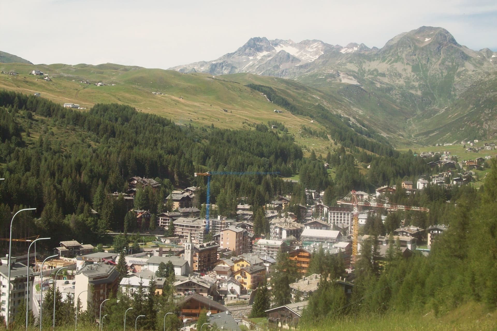
Pontedilegno-Tonale, 100 km of slopes between 1,121 and 3,016 metres, glacier skiing on the Presena into late spring.
PASSO DEL TONALE
Pass to Trentino at 1,883 m, ski-area spine and the Italian-Austrian front line during the WWI white war.
ORIGIN OF THE OGLIO
The Frigidolfo and Narcanello streams meet here, forming the river that runs the length of Valle Camonica to Lake Iseo.
When to visit
Best · Jun–Sep, Dec–Mar
- J2°
- F5°
- M6°
- A10°
- M15°
- J20°
- J22°
- A22°
- S17°
- O13°
- N8°
- D3°
- Best
- Hot or crowded
- Quiet
- Mostly closed
Daytime averages, 2020–2024. Weather data by Open-Meteo.com.
Why come
At 100 square kilometres this is the second-largest commune in the province of Brescia after Bagolino, a size that shows in how far its territory reaches: from the valley floor up into the park south and east of town and over the watershed into Trentino. The upper town has burned more than once in its history, rebuilt in wood each time along with the parish church that anchors the main square.
Ski Club Ponte di Legno was founded in 1911, one of the first in Italy, and a hundred years of investment turned that early club into the ski area whose lifts now serve both the pass and the glacier above it. Winter and summer use the same infrastructure differently: in season the lifts run skiers over forty-one runs and up onto the ice, and in summer the same cars carry hikers onto the plateau while the tables fill on Piazza XXVII Settembre in place of ski boots. The town's whole shape, valley floor, upper slopes, and the pass beyond, follows the terrain that a century of skiers and a century of soldiers before them had no choice but to work with.
The Sunday letter
Ponte di Legno is on our list. Its letter is still to come.
We are writing about all 1,000 of these towns, one at a time, in a free letter every Sunday: the photo, the food, the festa. That is our mission. Sign up and you will be there when Ponte di Legno comes up. By Peter & Sophia, from Pietrasanta.
Read on
Ponte di Legno in our articles
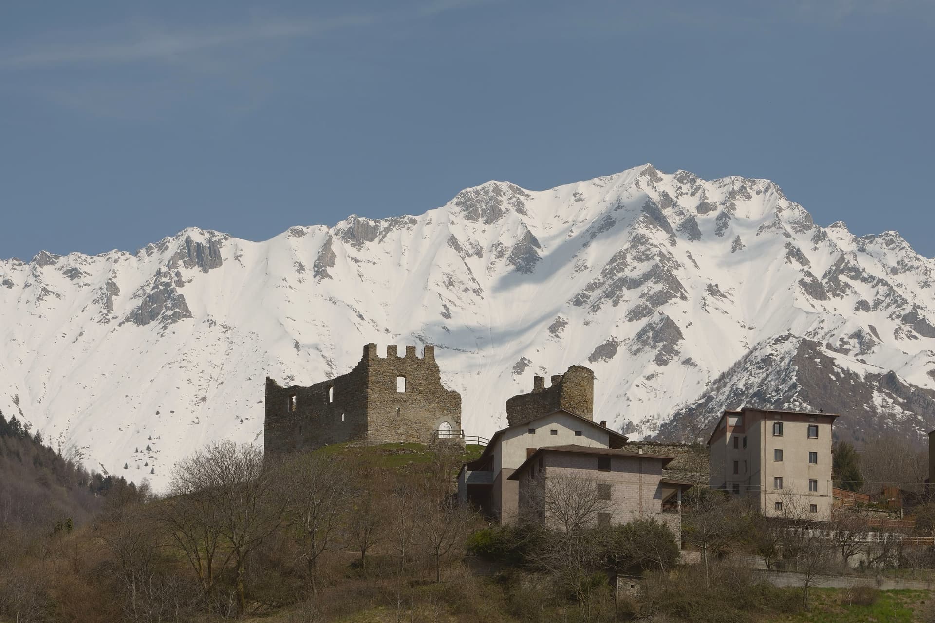
 The best hidden ski towns in Lombardy6 towns, Ponte di Legno among them.
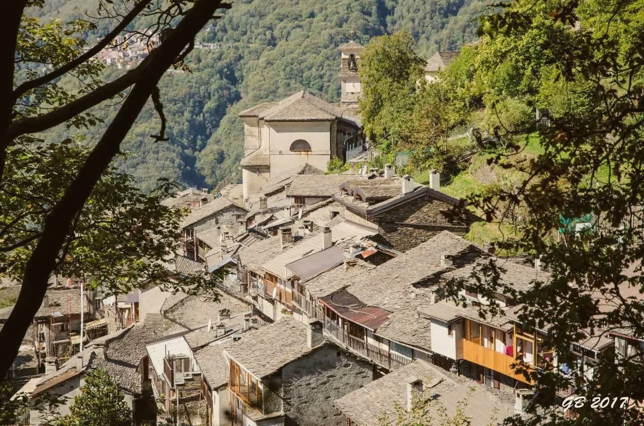
 The 8 best towns inside a nature park in the province of Brescia8 towns, Ponte di Legno among them.
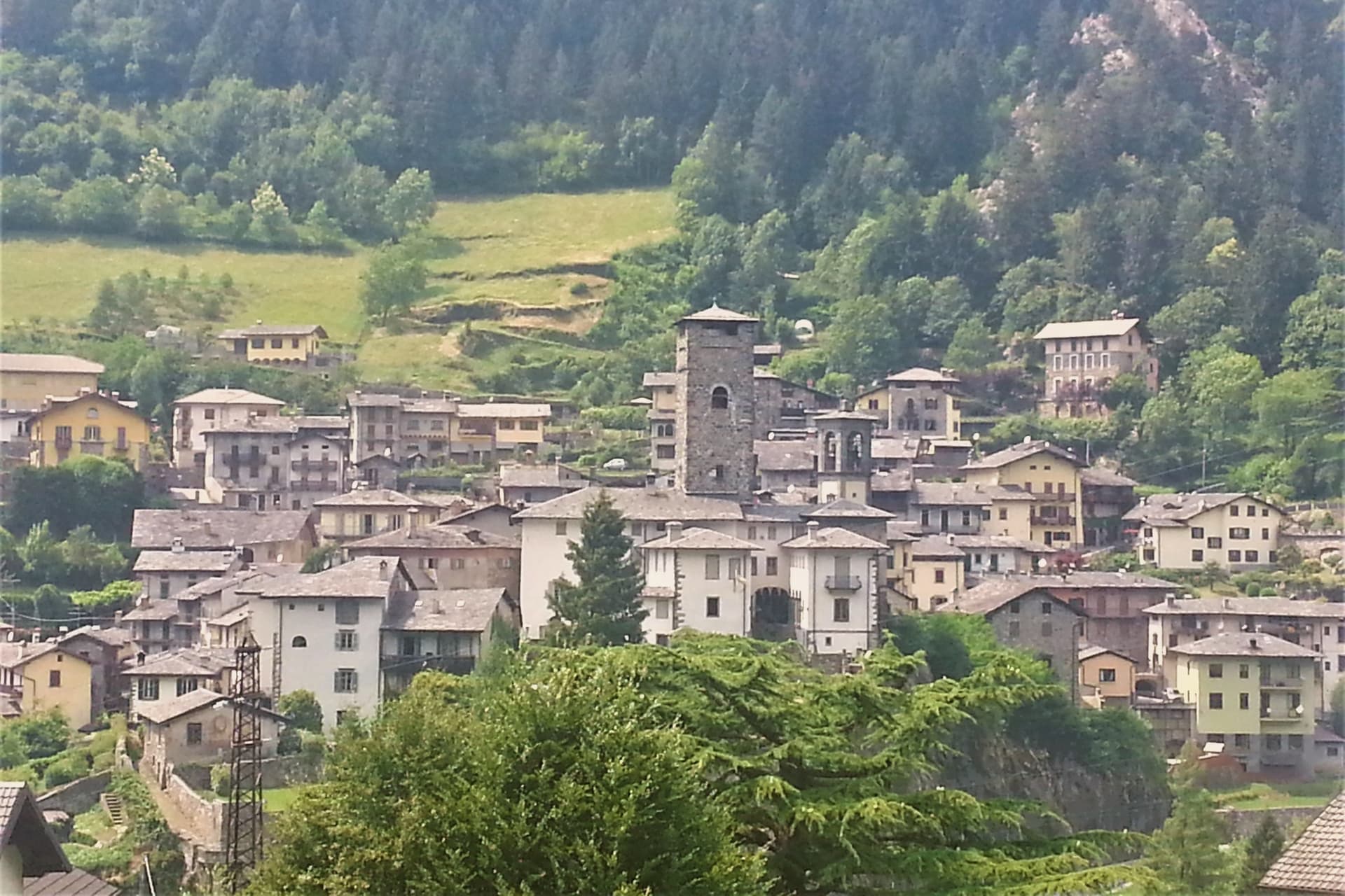
 The best high-altitude villages in Lombardia8 towns, Ponte di Legno among them.
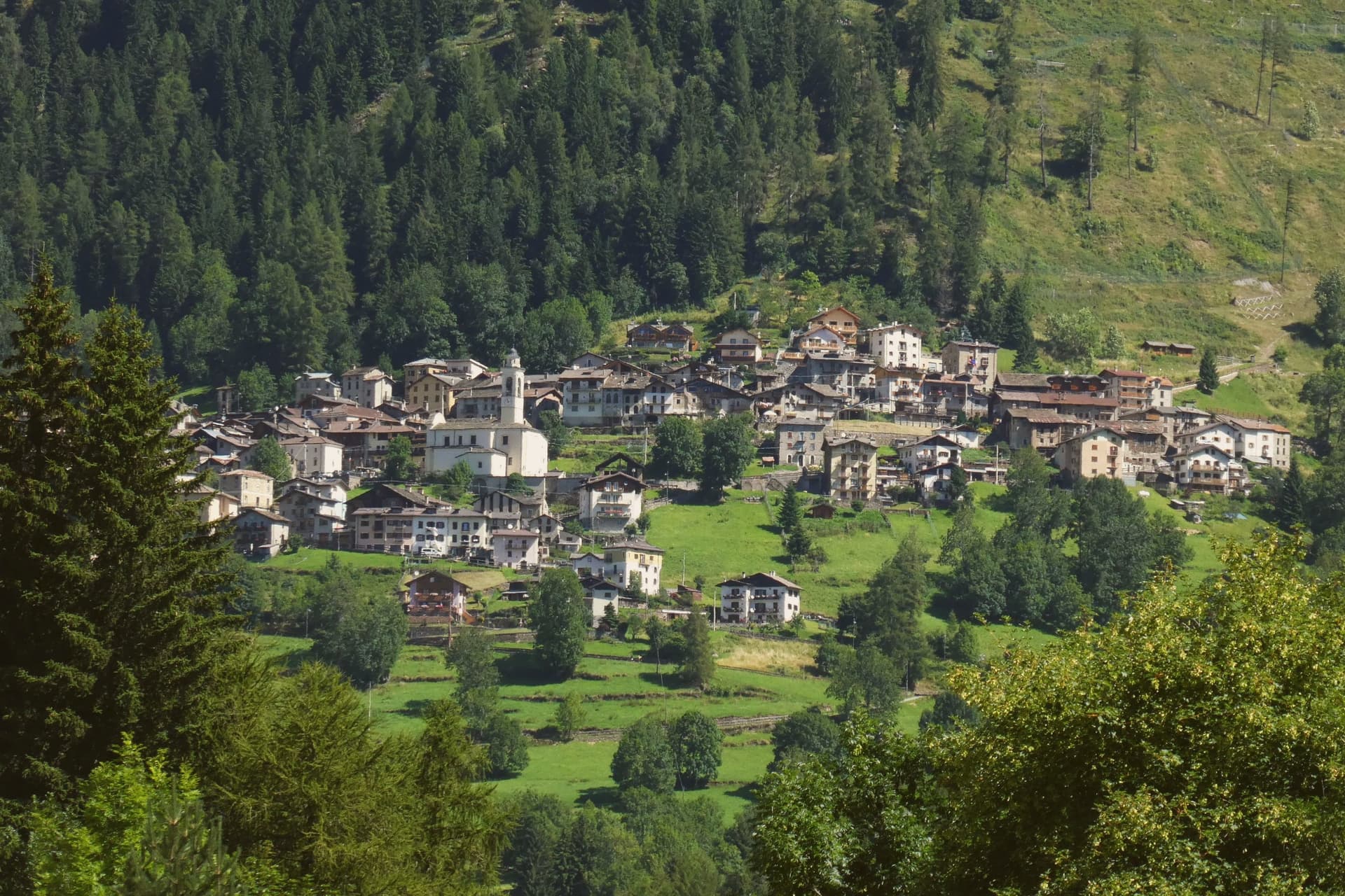
 The best ski towns in Lombardia10 towns, Ponte di Legno among them.
How to get there
From Milan (BGY), about 2h 9m by car.
Verona (VRN) is about 2h 46m away.
By car from the centre of Trento 1h 38m, Bolzano 2 hours or Brescia 2 hours.
What to see
Chiesa della SS. Trinità
18th-century parish church on the main square, rebuilt after fires that periodically hit the wooden upper town.
Passo del Tonale
The road north over the watershed into Val di Sole, still climbed today by the lifts that once carried troops and now carry skiers.
Ghiacciaio della Presena
Accessible by cable car above the pass, open through the year for skiing on the ice itself rather than groomed snow below it.
Parco dell'Adamello
Regional park covering the massif south and east of town, with trails into the Adamello-Brenta and Stelvio parks.
Museo della Guerra Bianca
War museum at nearby Temù covering the WWI Adamello front, the highest combat zone in European history.
The slow-trip planner
Building a trip? Find where Ponte di Legno fits in a slow Italy circuit.
Answer five questions. We will shape a geographically coherent slow trip from the 1,000 Italian towns most travelers skip. Yours to save and share.
Living here
- Population 1,745
- Very remotei
- Pharmacy in town
- High school within a 30-minute drive
- Nearest airport Milan, 2 h 9 min drive
- Regional capital Milano, 2 h 55 min drive
Common questions
- What is Ponte di Legno known for?
- Ponte di Legno is the uppermost commune in the province, 1,257 meters up, where two streams meet under the Adamello range to form a river.
- Where is Ponte di Legno?
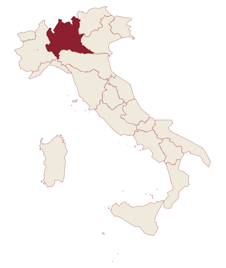
- Ponte di Legno is a comune in the province of Brescia, in Lombardy, at 1257 meters above sea level.
- What is the nearest airport to Ponte di Legno?
- Milan (BGY), about 2h 9m by car.
- How long is the drive from Trento to Ponte di Legno?
- About 1h 38m by car.
- When is the best time to visit Ponte di Legno?
- Best in Jun–Sep, Dec–Mar. July is the warmest month, averaging 22 degrees, and May the wettest, with about 20 rain days.
- Which other towns are like Ponte di Legno?
- Roccaraso, Sappada and Abetone Cutigliano.
- How many people live in Ponte di Legno?
- 1,745 at the 2023 count.
Tags & datadesignations · numbers · sources
Recognised as
The numbers
- Elevation: 1257 m
- Population: 1,745
- Surface area: 100.43 km²
These figures were compiled from public directories: ISTAT, OpenStreetMap and Wikidata, and from the official listings of the guides named on this page. Town details change; verify with official sources before you travel.
Similar
Towns like Ponte di Legno
Roccaraso
Province: L'Aquila
both high in the mountains · both under 3,000 people
Sappada
Province: Udine
both high in the mountains · both under 3,000 people
Abetone Cutigliano
Province: Pistoia
both high in the mountains · both under 3,000 people
Pescocostanzo
Province: L'Aquila
both high in the mountains · both under 3,000 people
Sestola
Province: Modena
both high in the mountains · both under 3,000 people
Corvara in Badia
Province: Bolzano
both high in the mountains · both under 3,000 people
🌲 Parco Nazionale
More Parco Nazionale towns
Alfedena
Province: L'Aquila
At 914 meters at the head of the upper Sangro valley, the Samnite Aufidena, with a 15,000-tomb necropolis and a Roman conquest in 298 BC.
Barrea
Province: L'Aquila
A 1,066-meter spur above an artificial lake at the heart of the Abruzzo National Park, with a Samnite necropolis and an 11th-century di Sangro castle.
Calascio
Province: L'Aquila
A village of 125 people under the highest castle in the Apennines, cast as the monk's refuge in Ladyhawke.
Campli
Province: Teramo
A 393-meter town under the Monti della Laga, held by the Farnese for two centuries, with a Scala Santa carrying papal indulgence.
Campo di Giove
Province: L'Aquila
At 1,064 meters under the southwestern Maiella, the highest village in the park, named for a Roman temple to Jupiter.