
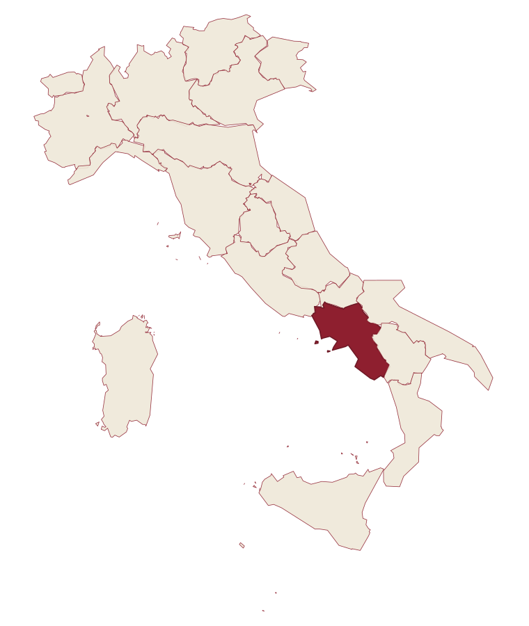
Campania · Salerno
Centola
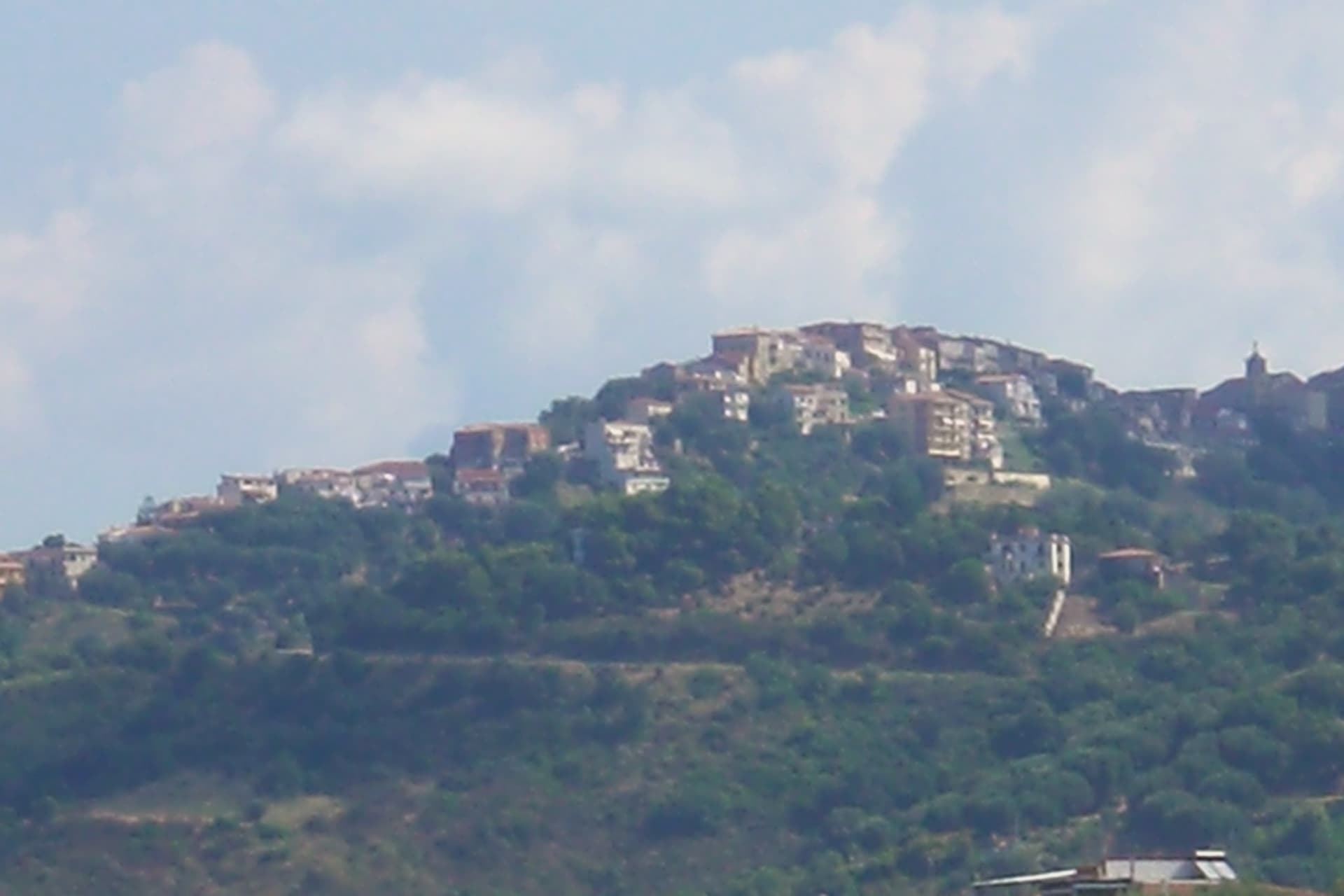
A Cilento hill village whose seaside frazione carries the name of Aeneas' helmsman.
- Best time
- May–Sep
- By car
- 1 h 55 min from Salerno
- Population
- 4,983
Known for
PALINURO
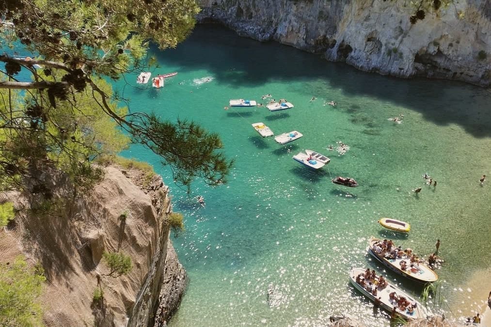
Cape and frazione named for Aeneas' helmsman in Virgil's poem, with a Bandiera Blu beach and the boat caves of the promontory.
SAN SEVERINO
Abandoned medieval village on a rock spur in the Mingardo gorge, now a ruin walked for the view rather than inhabited.
CILENTO PARK
Inside the Cilento, Vallo di Diano and Alburni National Park, one of the largest protected areas in southern Italy.
When to visit
Best · May–Sep
- J11°
- F13°
- M14°
- A17°
- M21°
- J26°
- J29°
- A29°
- S25°
- O21°
- N17°
- D13°
- Best
- Hot or crowded
- Quiet
- Mostly closed
Daytime averages, 2020–2024. The sea is warmest in August at 28° and coldest in February at 15°. Weather data by Open-Meteo.com.
Why come
Centola sits inside the Cilento, Vallo di Diano and Alburni National Park, with four frazioni stretched between hill and shore. The hilltop centro began as a refuge for survivors of ancient Molpa, the coastal city destroyed by the Byzantine general Belisarius in 547 AD; the name likely traces to centum illuc, the hundred who fled uphill. Centola joined the Cilento revolt of 1828 and adopted the Proclamation of Palinuro, then lost most of its population to emigration across the Americas after Unification.
The commune holds a Bandiera Blu on the Palinuro coast and belongs to Città del Vino. The hilltop and the cape are seven kilometers apart with seventy meters of climb between them, a short distance that nonetheless separates two different lives: one built by people who ran from the water, the other built on people coming back to it for the beach and the caves. What was once a flight inland has become, centuries later, a pull back toward the coast it fled.
The Sunday letter
Centola is on our list. Its letter is still to come.
We are writing about all 1,000 of these towns, one at a time, in a free letter every Sunday: the photo, the food, the festa. That is our mission. Sign up and you will be there when Centola comes up. By Peter & Sophia, from Pietrasanta.
Read on
Centola in our articles
How to get there
From Naples / Salerno (NAP), about 2h 38m by car.
Lamezia / Reggio (SUF) is about 3h 31m away.
By car from the centre of Salerno 2 hours, Naples 2h 38m or Bari 3h 47m.
What to see
Centro storico di Centola
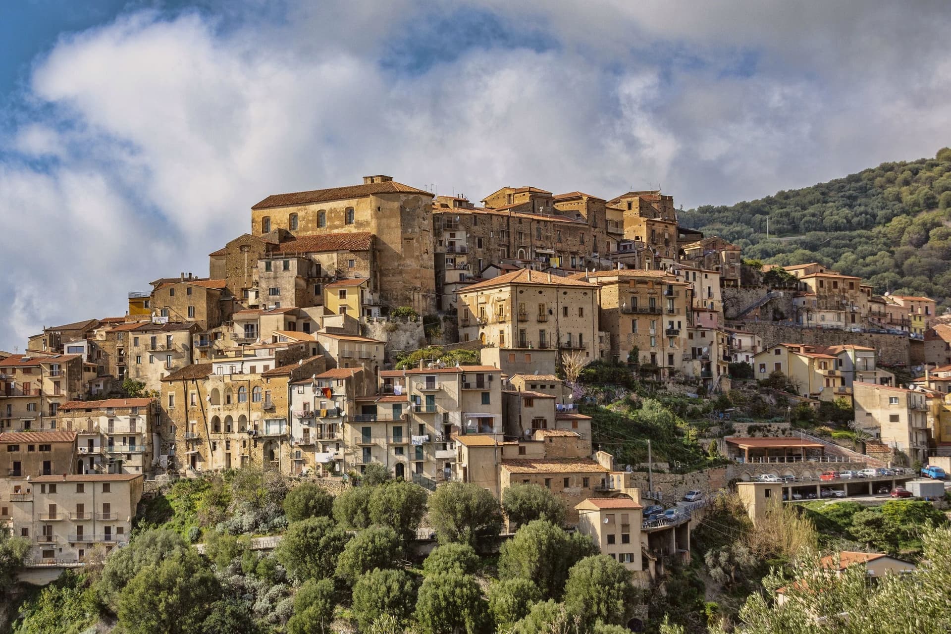
Hilltop old town above the Mingardo valley, founded by survivors who climbed from the coast after it was sacked; the streets sit apart from the shore below, reached by a climb of some seventy meters over the distance between.
Palinuro
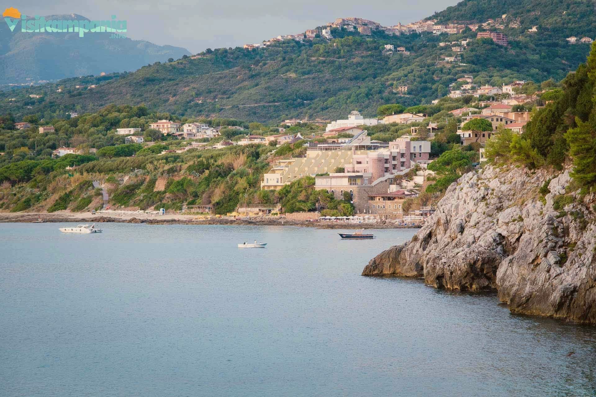
The seaside frazione at the cape, sitting where the Lambro and Mingardo rivers meet the sea, its marina the departure point for boats along the promontory.
Ruderi di Molpa
Remains of the ancient coastal settlement destroyed by Belisarius in 547 AD, on the promontory above the Mingardo mouth, the origin point of the hilltop town itself.
San Severino di Centola
Castle ruins and stone houses on the rock spur, empty since the twentieth-century exodus, walked now for the view over the gorge rather than for anything still standing whole.
Grotte di Capo Palinuro
Sea caves around the cape including the Grotta Azzurra and Grotta dei Monaci, reached by boat from the marina below the frazione.
The slow-trip planner
Building a trip? Find where Centola fits in a slow Italy circuit.
Answer five questions. We will shape a geographically coherent slow trip from the 1,000 Italian towns most travelers skip. Yours to save and share.
Living here
- Population 4,983
- Very remotei
- Pharmacy in town
- High school within a 30-minute drive
- Nearest airport Naples / Salerno, 2 h 38 min drive
- Regional capital Napoli, 2 h 38 min drive
Common questions
- What is Centola known for?
- Centola is a Cilento hill village at 336 meters whose seaside frazione carries the name of Aeneas' helmsman.
- Where is Centola?
- Centola is a comune in the province of Salerno, in Campania.
- What is the nearest airport to Centola?
- Naples / Salerno (NAP), about 2h 38m by car.
- How long is the drive from Salerno to Centola?
- About 2 hours by car.
- When is the best time to visit Centola?
- Best in May–Sep. July is the warmest month, averaging 29 degrees, and November the wettest, with about 14 rain days.
- Which other towns are like Centola?
- Ascea, Camerota and Maratea.
- How many people live in Centola?
- 4,983 at the 2023 count.
Tags & datadesignations · numbers · sources
Recognised as
The numbers
- Elevation: 336 m
- Population: 4,983
- Surface area: 47.75 km²
These figures were compiled from public directories: ISTAT, OpenStreetMap and Wikidata, and from the official listings of the guides named on this page. Town details change; verify with official sources before you travel.
Similar
Towns like Centola
Ascea
Province: Salerno
both on the Tyrrhenian coast · both between 3,000 and 10,000 people
Camerota
Province: Salerno
both on the Tyrrhenian coast · both between 3,000 and 10,000 people
Maratea
Province: Potenza
both on the Tyrrhenian coast · both between 3,000 and 10,000 people
Tramonti
Province: Salerno
both on the Tyrrhenian coast · both between 3,000 and 10,000 people
Castellabate
Province: Salerno
both on the Tyrrhenian coast · both between 3,000 and 10,000 people
Capalbio
Province: Grosseto
both on the Tyrrhenian coast · both between 3,000 and 10,000 people
🟦 Bandiera Blu
More Bandiera Blu towns in Campania
Agropoli
Province: Salerno
The gateway commune of the Cilento, a Byzantine acropolis on a promontory taken by the Saracens in 882 as a base for raids on Salerno.
Anacapri
Province: Napoli
The upper half of Capri, 150 meters above its famous twin.
Ascea
Province: Salerno
Two villages, a hilltown at 230 meters and a Cilento marina, with Parmenides and Zeno's Eleatic school in the ruins of Greek Velia below.
Camerota
Province: Salerno
A Cilento hill town of 422 meters above the Costa degli Infreschi, its caves holding one of the longest prehistoric stratigraphies on the southern Tyrrhenian.
Castellabate
Province: Salerno
A hilltown on a 280-meter Cilento ridge, with a Bandiera Blu beach below and the Benvenuti al Sud film.