
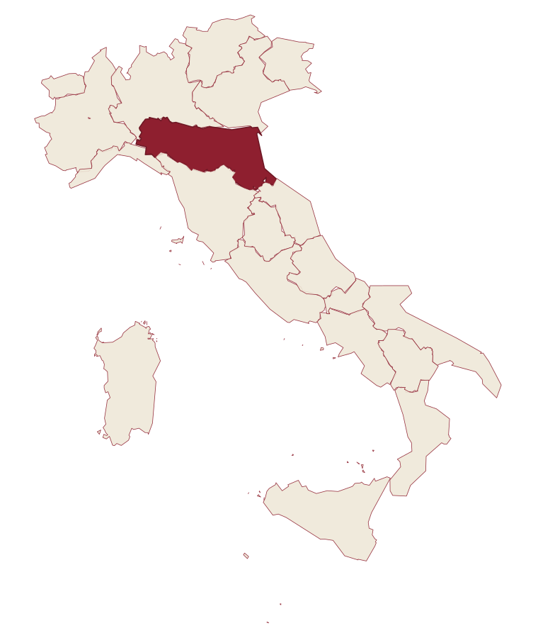
Emilia-Romagna · Forlì-Cesena
Premilcuore
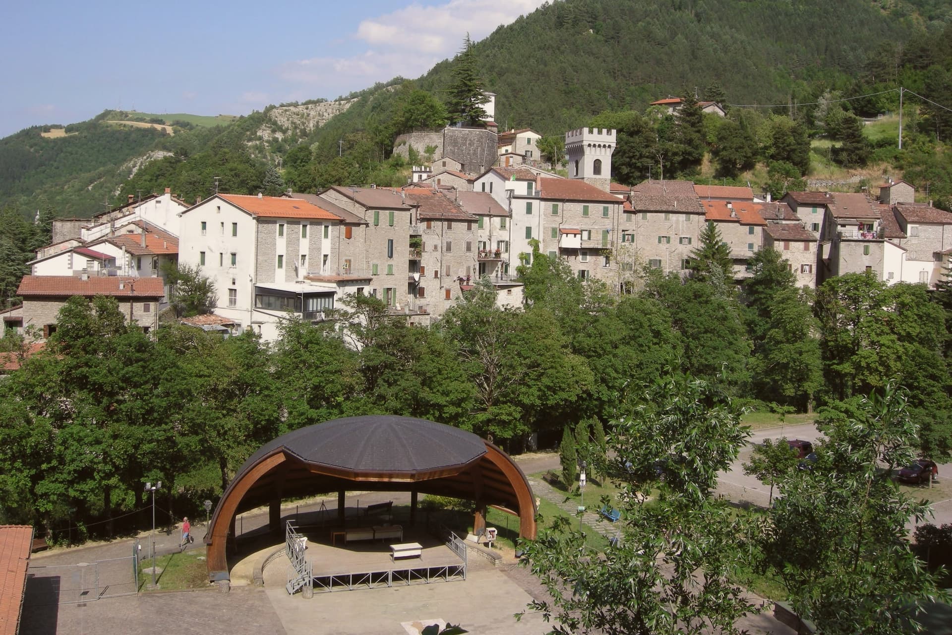
A 459-meter walled borgo on the Rabbi river, an entry point to the Foreste Casentinesi from the Romagna side.
Picked by Peter Benei
Letter to come
Why Premilcuore is on our list
It holds Bandiera Arancione.
Subscribe and you get Premilcuore's letter the day it comes out.
Visiting
- Best time
- Apr–Oct
- By car
- 1 h 20 min from Florence
- Population
- 680
- J8°
- F11°
- M12°
- A15°
- M19°
- J25°
- J29°
- A28°
- S23°
- O19°
- N13°
- D10°
- Best
- Hot or crowded
- Quiet
- Mostly closed
Daytime air temperature, averages for 2020–2024. Weather data by Open-Meteo.com.
Why come
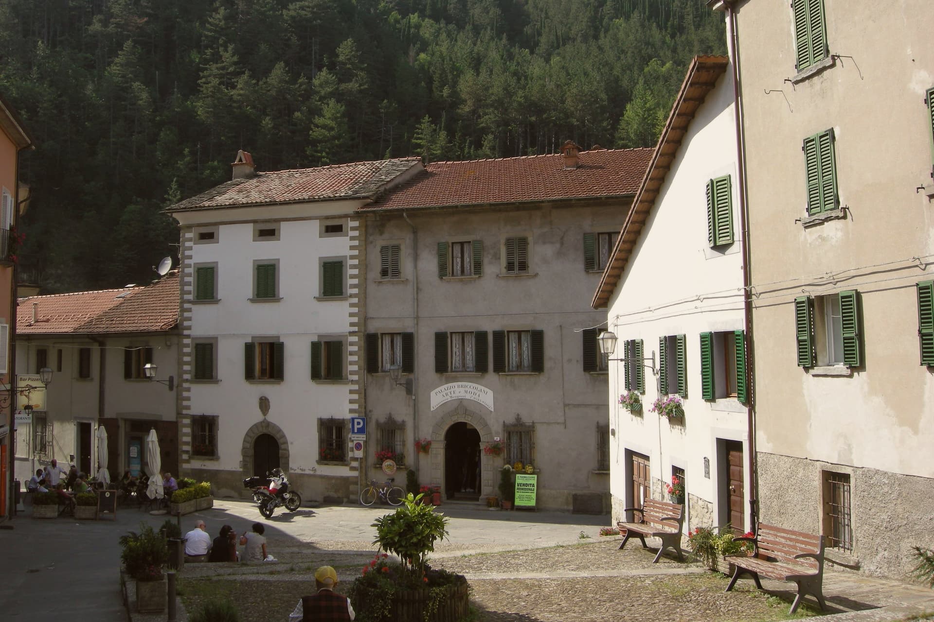
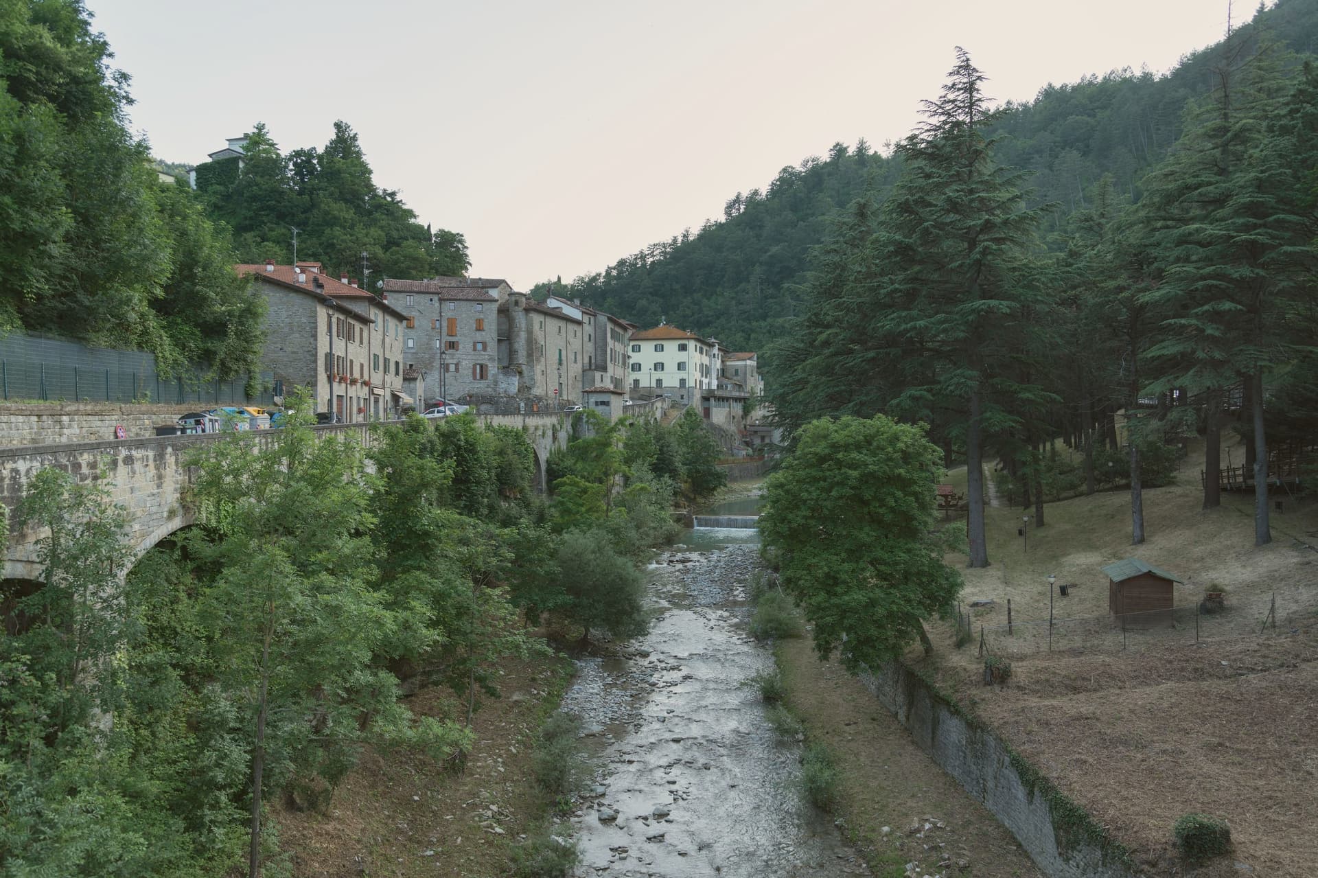
Premilcuore sits in the upper Rabbi valley on the Romagna-Tuscany border, fifty kilometers north of Florence and inside the Parco Nazionale delle Foreste Casentinesi. The Rocca and the medieval wall ring a centro storico of fewer than three hundred residents; the southern gate, Porta Fiorentina, still carries the marks of the 1375 surrender that put Premilcuore inside the Florentine state until 1923. The town belonged to the Guidi counts of Modigliana from 1124, then to Caterina Sforza in the 1490s, then to Florence for five centuries.
The Rabbi runs cold and clear through gorges below the borgo, with pools cut into the sandstone that the locals use through summer. The municipality covers ninety-eight square kilometers, mostly old-growth beech and silver-fir forest inside the national park, with six people per square kilometer. Bandiera Arancione recognition arrived in the 2000s.
How to get there
From Bologna (BLQ), about 1 h 42 min by car.
Rimini (RMI) is about 1 h 45 min away.
By car from the center of Florence 1 h 20 min.
Coming by train into Forlì? Premilcuore is about 50 min away by road.
Every town within reach of Bologna airport.
First time driving in Italy? Read our complete manual.
What to see
Rocca di Premilcuore
Medieval fortress at the top of the borgo, held by the Guidi counts from 1124 and later by Florence, now in partial restoration.
Porta Fiorentina
Southern gate of the walled centro storico, the surviving original entry after the demolition of the Porta di Sotto on the north side.
Chiesa di Santa Maria
Parish church inside the walls, restored after damage in the 1918 earthquake, with a Renaissance baptismal font.
Gole del Rabbi
Sandstone gorges and natural pools cut by the Rabbi river below the borgo, with marked trails along both banks.
Parco Nazionale delle Foreste Casentinesi
Old-growth beech and silver-fir forest covering most of the municipality, reached from the Rabbi valley by way of Premilcuore.
Living here
Could you live here?
Premilcuore is at the end of the road.
- A village of 680. The nearest town of 5,000 people, Dicomano, is 37 min away: past our 15-minute rule, which makes this the end of the road.
- Forlì, a city of 117,535, is 51 min by car. Inside our 30 to 60 minutes: close for the services, far enough to keep its own life.
The rules come from our series Where to Move in Italy, written from the places we have lived: Part 1, The End of the Road · Part 2, The Small Town · Part 3, The City · Part 4, The Postcard · Part 5, The Other Half. The towns we would pick are in Part 6, The Best Towns.
- Population 680, down 15.5% since 2015 (Italy's emptying towns)
- Nearest city Forlì, 51 min drive
- Nearest national health service hospital Santa Sofia, 9 km as the crow flies · how healthcare works in Italy
- Homes in the center: €910 to €1,200 per m² to buy, €3.00 to €3.90 per m² a month to rent
All the numbers Common questions, designations, lists and sources.
More about living here
- Remote
- Pharmacy in town
- High school within a 30-minute drive
- Full fibre reaches 95% of homes
- Primary school in the comune
- Earthquake zone 2, medium hazard
- Forlì airport (FRL), 49 min drive, the nearest with scheduled flights
- Regional capital Bologna, 1 h 44 min drive
If you are moving here
Who lives here
12% of residents are foreign citizens, most often from Romania, Morocco and Albania, against 9% across Italy. There are 553 people over 65 for every 100 children under 15, against 216 across Italy. 58% of homes have no resident, holiday homes and empty ones counted together, against 27% across Italy. Forlì-Cesena province ranks 11th of 107 in Il Sole 24 Ore's quality of life ranking for 2025.
Health and schools
The nearest emergency room is in Bibbiena, 28 km as the crow flies. The nearest major one is in Forlì, 35 km away. The nearest children's emergency room is in Florence, 48 km away. The nearest IB school is International School of Florence, 48 km as the crow flies. The nearest school listed as international is Bilingual International School Borgo San Lorenzo, 32 km away.
Information, not medical advice. Confirm with a professional.
Taxes
A home that is not your main one pays 1% a year in property tax, charged on the cadastral value rather than the price. A main home pays none unless it is in a luxury category. The town adds 0.4% to your income tax. 7% pensioner tax: this town is not in a qualifying area.
Information, not tax advice. Confirm with a professional.
What it costs
The average household in Emilia-Romagna spends about €2,500 a month, €560 of it on food, against about €2,170 across Italy. A family of three pays about €604 a year for water, on the Emilia-Romagna average. In Forlì, the provincial capital, in September 2026, a meal in a pizzeria €12.18 and a man's haircut €22.59.
Climate and risk
It is in climate zone E, on a scale from A, the warmest, to F, the coldest, and heating may run from October 15 to April 15, up to 14 hours a day, unless the mayor changes it. 10% of residents live in a zone the national maps rate high for floods. 18% live in a zone rated high or very high for landslides.
These shares cover the whole comune, not any one street. Check an address on IdroGEO.
Moving from abroad? Which visa you need. Sources: ISTAT, the Ministry of Health, ISPRA, the Finance Ministry, the Ministry of Enterprise, Poste Italiane, the comuni, the IB, International Schools Database, Il Sole 24 Ore, Cittadinanzattiva.
Known for
RABBI POOLS
Cold natural pools cut into sandstone by the Rabbi river below the borgo, used by residents and visitors through summer.
FOREST GATEWAY
Romagna-side entry point to the Parco Nazionale delle Foreste Casentinesi, with most of the ninety-eight square kilometers under park protection.
FLORENTINE FOR FIVE CENTURIES
Belonged to the Republic of Florence from 1375 and the Grand Duchy of Tuscany after that, only joining Romagna in 1923.
Common questions
- What is Premilcuore known for?
- Premilcuore is a 459-meter walled borgo on the Rabbi river, an entry point to the Foreste Casentinesi from the Romagna side.
- Where is Premilcuore?
- Premilcuore is a comune in the province of Forlì-Cesena, in Emilia-Romagna, at 459 meters above sea level.
- What is the nearest airport to Premilcuore?
- The nearest airport with scheduled flights is Forlì (FRL), about 49 min by car.
- How long is the drive from Florence to Premilcuore?
- About 1 h 20 min by car.
- When is the best time to visit Premilcuore?
- Best in Apr–Oct. July is the warmest month, averaging 29 degrees, and May the wettest, with about 17 rain days.
- Which other towns are like Premilcuore?
- Perito, Craco and Castelvecchio Subequo.
- How many people live in Premilcuore?
- 680 residents, by ISTAT's count on 1 January 2025.
- Is Premilcuore a good place to live?
- By the rules in our Where to Move in Italy series, Premilcuore is at the end of the road: the nearest town of 5,000 people, Dicomano, is 37 min away. The nearest city, Forlì, is 51 min away by car. The nearest national health service hospital is in Santa Sofia, 9 km as the crow flies. Full fibre reaches 95% of homes.
Tags & data designations · numbers · sources
Recognized as
Landscape
The numbers
- Elevation: 459 m
- Population: 680
- Surface area: 98.56 km²
These figures were compiled from public directories: ISTAT, OpenStreetMap and Wikidata, and from the official listings of the guides named on this page. Town details change; verify with official sources before you travel.
Similar
Towns like Premilcuore
What all six share with Premilcuore: inland, away from the coast · under 1,000 people · hill towns
Our guide
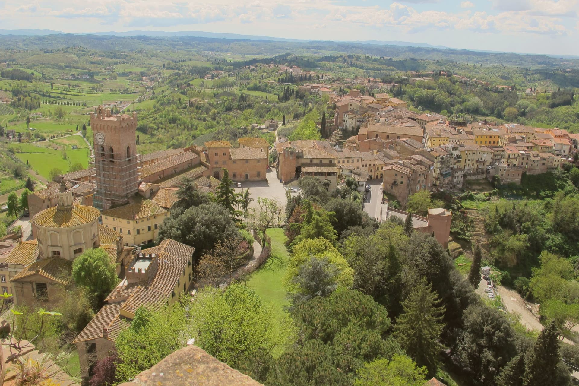
Our nearest guide, 81 km away
Arno Corridor: the towns, when to go, how to get there
The Arno Corridor guide came out of the letter. Letters from the towns we visit. Free.
Read the guide: The working road from Florence to the sea. 8 towns, the drive and train times, the months, where to eat and sleep.
Paid plans, the moving year and the books are on the membership page.