
Aosta Valley · Aosta Valley
Aymavilles
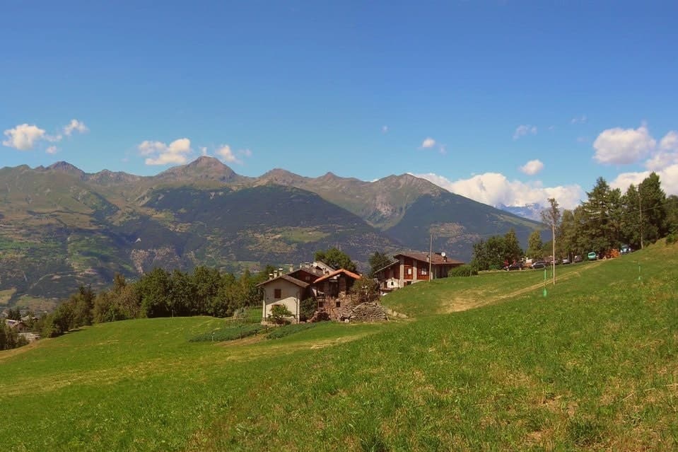
A village at 646 metres above a river gorge, where the road up the valley begins and a Roman aqueduct still crosses the Grand'Eyvia on a single arch.
- Best time
- May–Oct
- By car
- 1 h 46 min from Turin
- Population
- 2,096
Known for
FOUR-TOWERED CASTLE
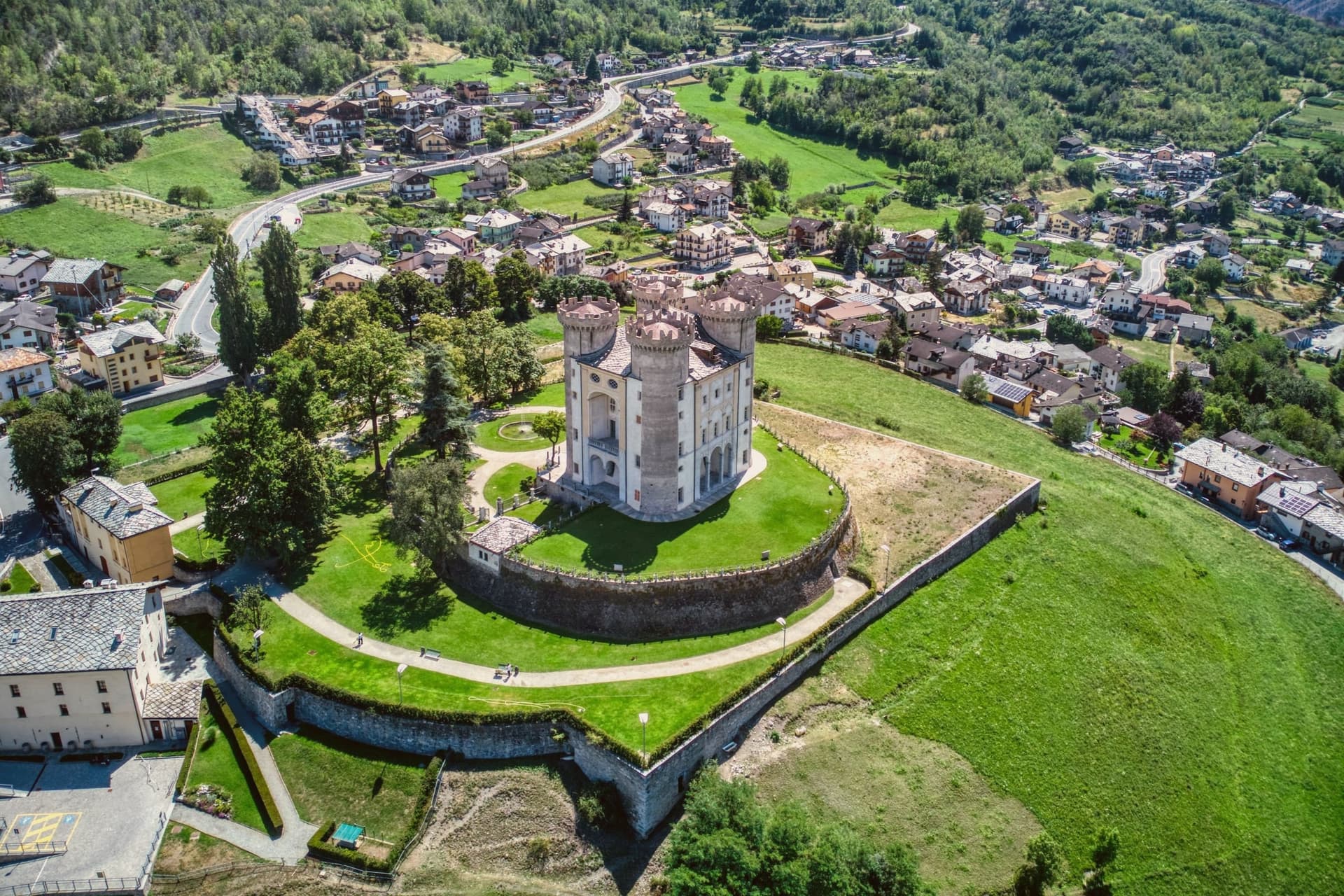
Castle on a thirteenth-century core, given its four corner towers by Aimone di Challant in the fourteenth century and a baroque overlay in the eighteenth.
PONT D'AËL
Roman aqueduct from 3 BC, single arch 56 metres above the Grand'Eyvia, with a covered pedestrian passage running beneath the water channel.
TORRETTE
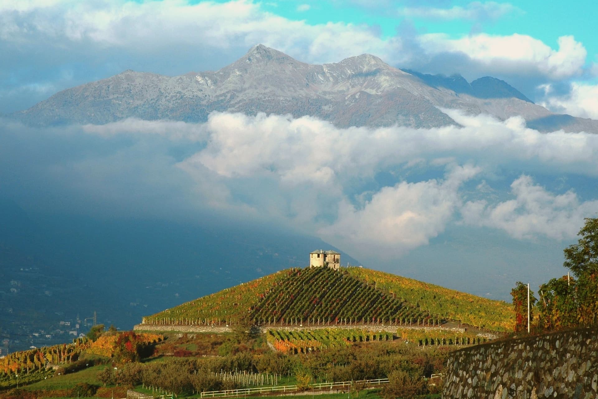
Centre of the Torrette DOC, with the Cave des Onze Communes (1990) drawing on more than sixty hectares of terraced vineyards above the Dora Baltea.
When to visit
Best · May–Oct
- J7°
- F11°
- M11°
- A14°
- M20°
- J25°
- J29°
- A29°
- S23°
- O19°
- N13°
- D8°
- Best
- Hot or crowded
- Quiet
- Mostly closed
Daytime averages, 2020–2024. Weather data by Open-Meteo.com.
The festa: Cristo Re, 24 November
Why come
The village sits on the right bank of the river, eight kilometres west of Aosta, at the point where a side valley opens toward the Gran Paradiso massif. The name traces to Caius Avilius Caimus, the Roman from Padua who commissioned the aqueduct-bridge over the Grand'Eyvia, so the settlement's identity is bound to that gorge crossing rather than to the castle that later came to dominate its skyline. Around the castle the ground has been given over to terraced vineyards, the fruit of which the Cave des Onze Communes, the region's largest cooperative, draws in from this slope and from the neighbouring communes of Sarre, Saint-Pierre and Introd.
The result is a village organized around two axes that rarely overlap: one running up toward the national park and the high side valley, the other lying flat along the river terraces where the vines are grown. What holds Aymavilles together is less a single monument than this position at a threshold, a place people pass through on the way to the high valley or use as the working ground for wine that is drunk elsewhere.
The Sunday letter
Aymavilles is on our list. Its letter is still to come.
We are writing about all 1,000 of these towns, one at a time, in a free letter every Sunday: the photo, the food, the festa. That is our mission. Sign up and you will be there when Aymavilles comes up. By Peter & Sophia, from Pietrasanta.
Read on
Aymavilles in our articles
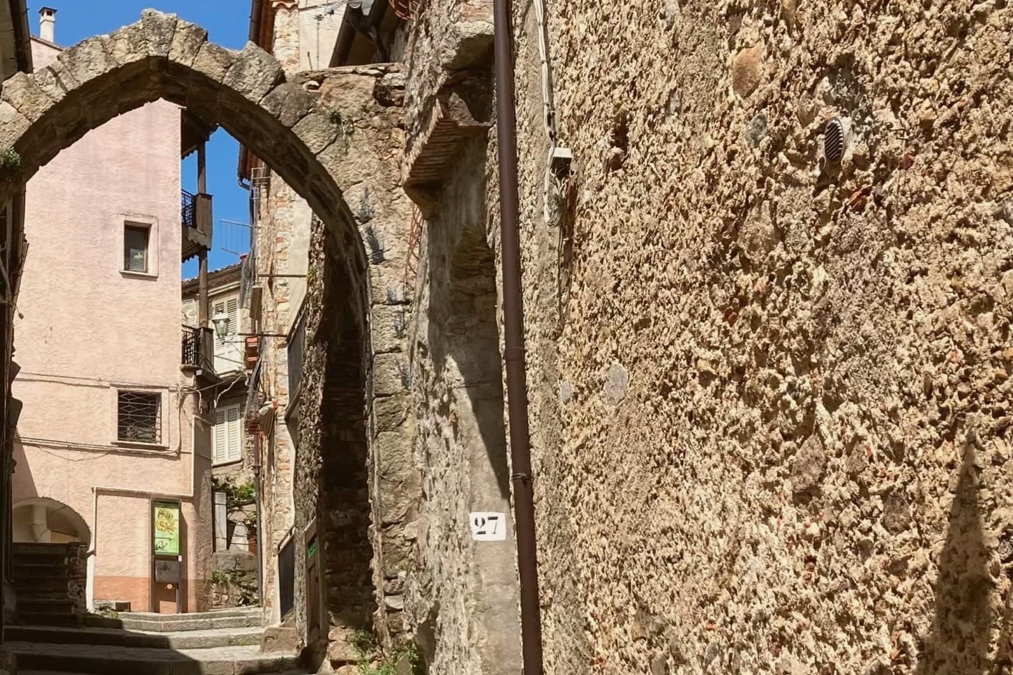
 The best ski towns in the province of Valle d'Aosta/Vallée d'Aoste8 towns, Aymavilles among them.
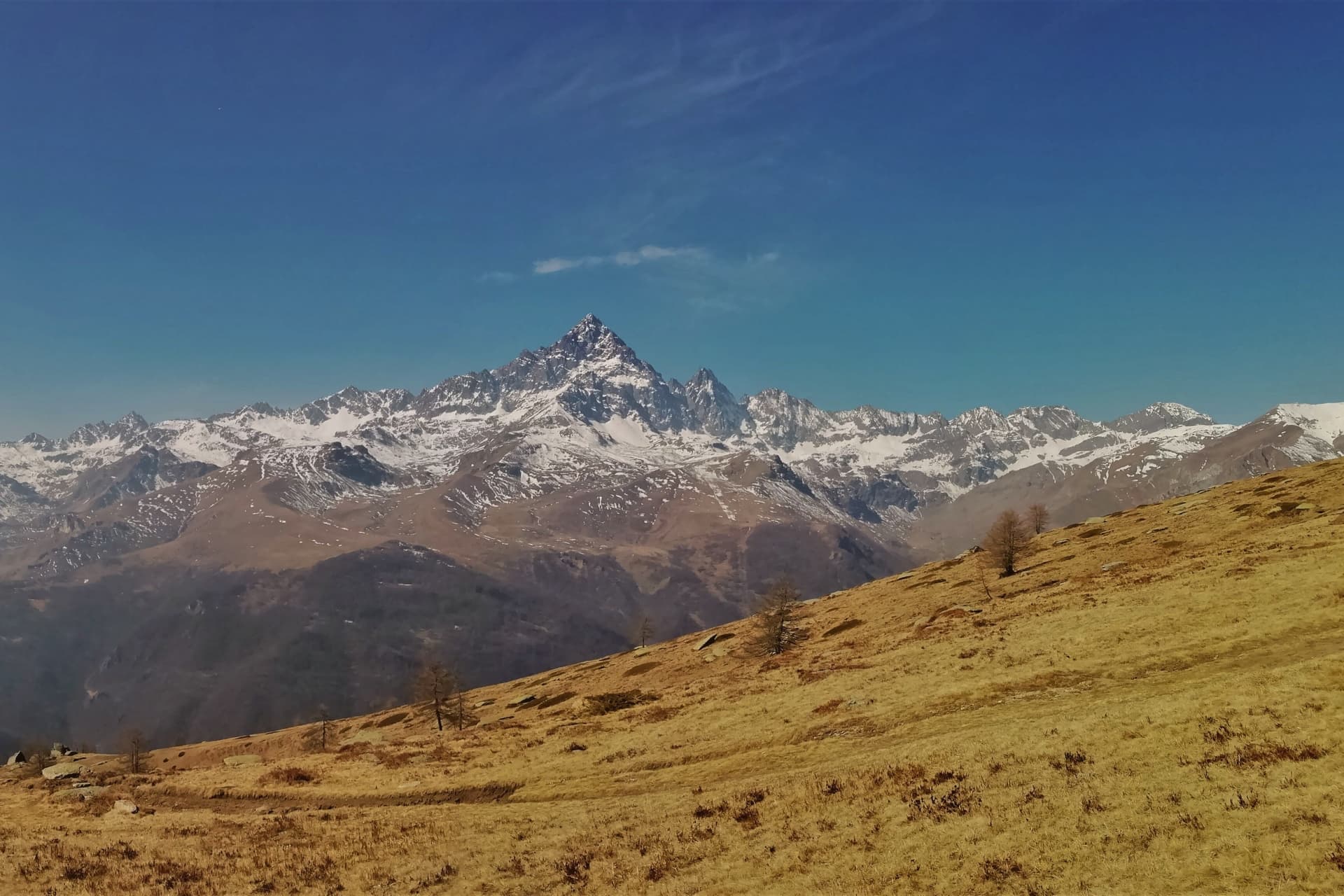
 The 10 highest wine towns in Italy10 towns, Aymavilles among them.
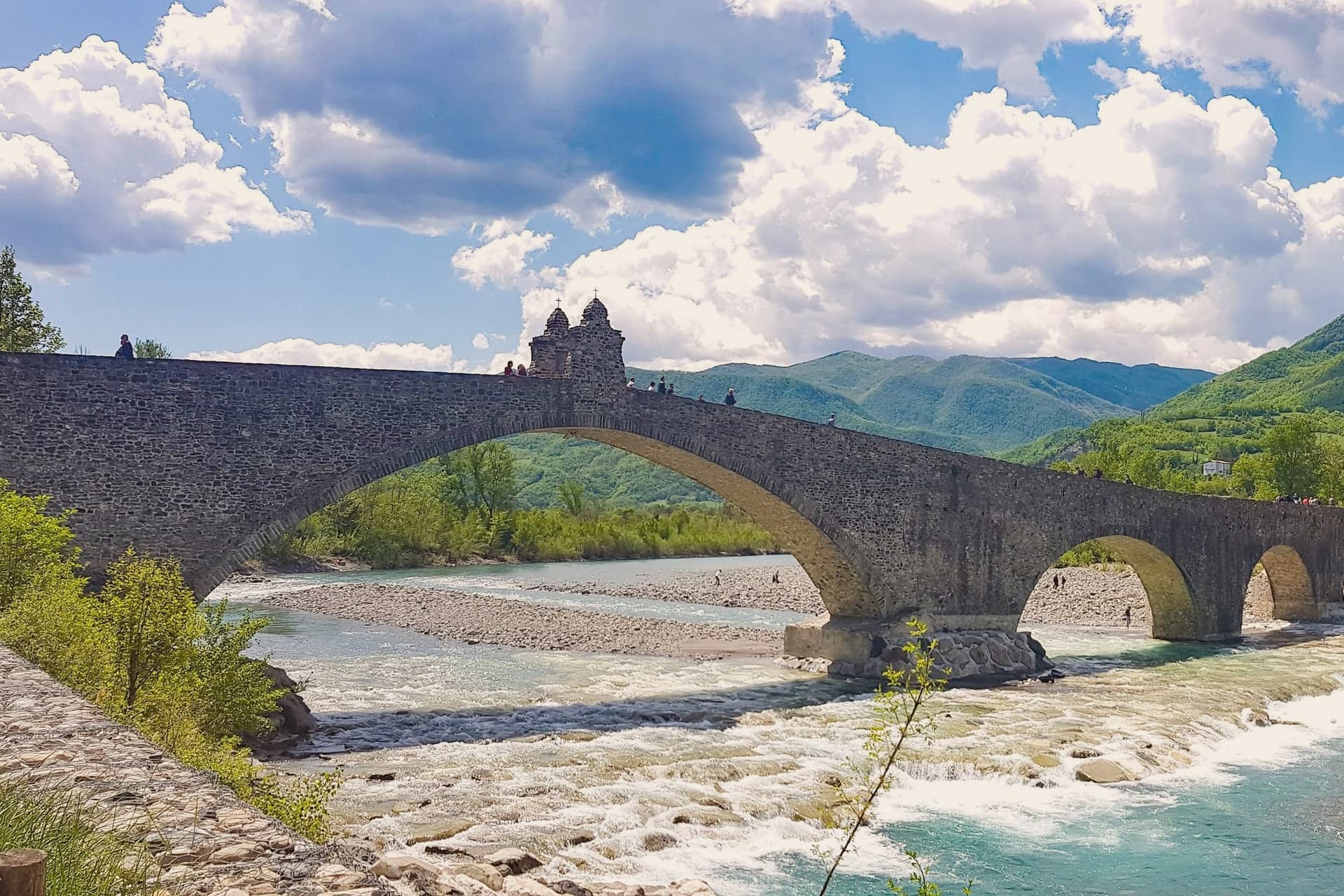
 The best mountain towns within two hours of Turin10 towns, Aymavilles among them.
 Every ski town in our catalogue, all of them97 towns, Aymavilles among them.
How to get there
From Turin (TRN), about 1h 43m by car.
Milan (BGY) is about 3 hours away.
By car from the centre of Genoa 3 hours.
What to see
Castello di Aymavilles
The rectangular medieval core is still legible beneath the additions: Aimone di Challant's four towers give the building its silhouette from the valley road, while the eighteenth-century decoration softens the fortress into a residence.
Pont d'Aël
The arch carries the water channel across the gorge on a single span, and the covered passage beneath it can still be walked, putting a visitor directly under the old aqueduct bed with the torrent below.
Cave des Onze Communes
Largest wine cooperative in Valle d'Aosta, open since 1990, working over sixty hectares of vineyards around Sarre, Saint-Pierre, Introd and Aymavilles.
Vigneti del Torrette
Terraced vineyards on the slopes around the castle, the heart of the Torrette DOC red wine area, walkable by foot and by bicycle.
Ingresso Parco Nazionale Gran Paradiso
Northern gateway to Italy's first national park (1922), with the road up the Cogne Valley starting just above the village toward the Gran Paradiso massif.
Chiesa parrocchiale di Saint-Léger
Parish church in the centre of the village, dedicated to Saint Leodegar, with a Romanesque bell tower preserved from the medieval church.
The slow-trip planner
Building a trip? Find where Aymavilles fits in a slow Italy circuit.
Answer five questions. We will shape a geographically coherent slow trip from the 1,000 Italian towns most travelers skip. Yours to save and share.
Living here
- Population 2,096
- Commuter belti
- Pharmacy in town
- High school within a 30-minute drive
- Nearest airport Turin, 1 h 43 min drive
- Regional capital Aosta, 22 min drive
Common questions
- What is Aymavilles known for?
- Aymavilles is a village at 646 metres above a river gorge, where the road up the valley begins and a Roman aqueduct still crosses the Grand'Eyvia on a single arch.
- Where is Aymavilles?
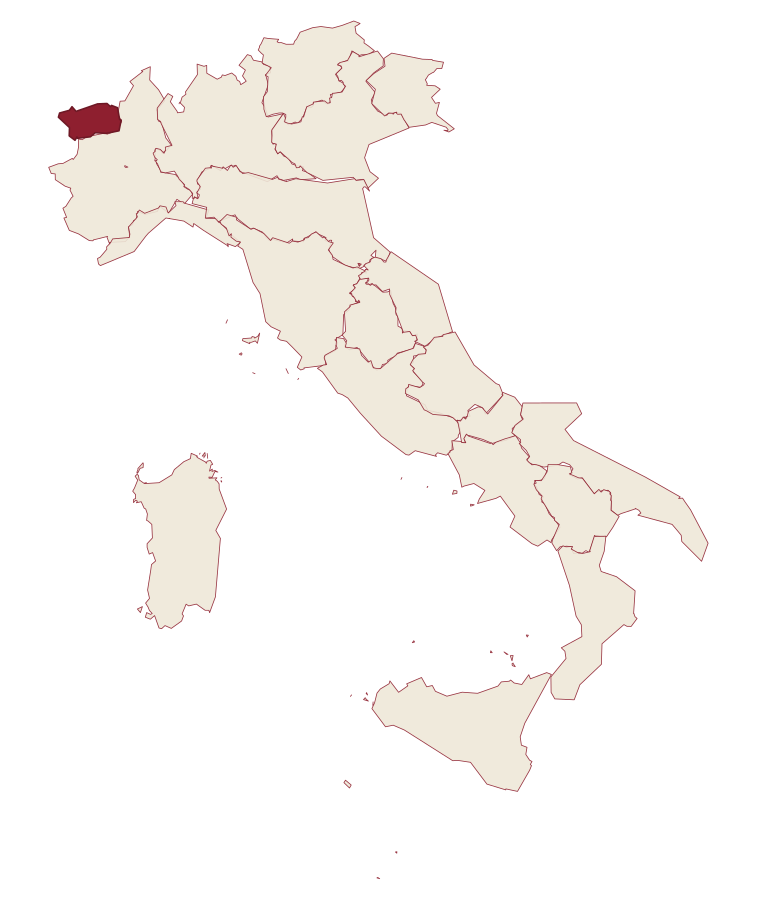
- Aymavilles is a comune in the province of Aosta Valley, in Aosta Valley.
- What is the nearest airport to Aymavilles?
- Turin (TRN), about 1h 43m by car.
- How long is the drive from Genoa to Aymavilles?
- About 3 hours by car.
- When is the best time to visit Aymavilles?
- Best in May–Oct. July is the warmest month, averaging 29 degrees, and May the wettest, with about 17 rain days.
- Is there a sagra or a festival in Aymavilles?
- The town keeps its patron saint's day: Cristo Re, 24 November.
- Which other towns are like Aymavilles?
- Villar San Costanzo, Sepino and Scurcola Marsicana.
- How many people live in Aymavilles?
- 2,096 at the 2023 count.
Tags & datadesignations · numbers · sources
Recognised as
The numbers
- Elevation: 646 m
- Population: 2,096
- Surface area: 53.24 km²
These figures were compiled from public directories: ISTAT, OpenStreetMap and Wikidata, and from the official listings of the guides named on this page. Town details change; verify with official sources before you travel.
Similar
Towns like Aymavilles
Villar San Costanzo
Province: Cuneo
both mountain-valley towns · both under 3,000 people
Sepino
Province: Campobasso
both mountain-valley towns · both under 3,000 people
Scurcola Marsicana
Province: L'Aquila
both mountain-valley towns · both under 3,000 people
Greccio
Province: Rieti
both mountain-valley towns · both under 3,000 people
Summonte
Province: Avellino
both mountain-valley towns · both under 3,000 people
Oratino
Province: Campobasso
both mountain-valley towns · both under 3,000 people
🌲 Parco Nazionale
More Parco Nazionale towns
Alfedena
Province: L'Aquila
At 914 meters at the head of the upper Sangro valley, the Samnite Aufidena, with a 15,000-tomb necropolis and a Roman conquest in 298 BC.
Barrea
Province: L'Aquila
A 1,066-meter spur above an artificial lake at the heart of the Abruzzo National Park, with a Samnite necropolis and an 11th-century di Sangro castle.
Calascio
Province: L'Aquila
A village of 125 people under the highest castle in the Apennines, cast as the monk's refuge in Ladyhawke.
Campli
Province: Teramo
A 393-meter town under the Monti della Laga, held by the Farnese for two centuries, with a Scala Santa carrying papal indulgence.
Campo di Giove
Province: L'Aquila
At 1,064 meters under the southwestern Maiella, the highest village in the park, named for a Roman temple to Jupiter.