
Tuscany · Livorno
Capoliveri
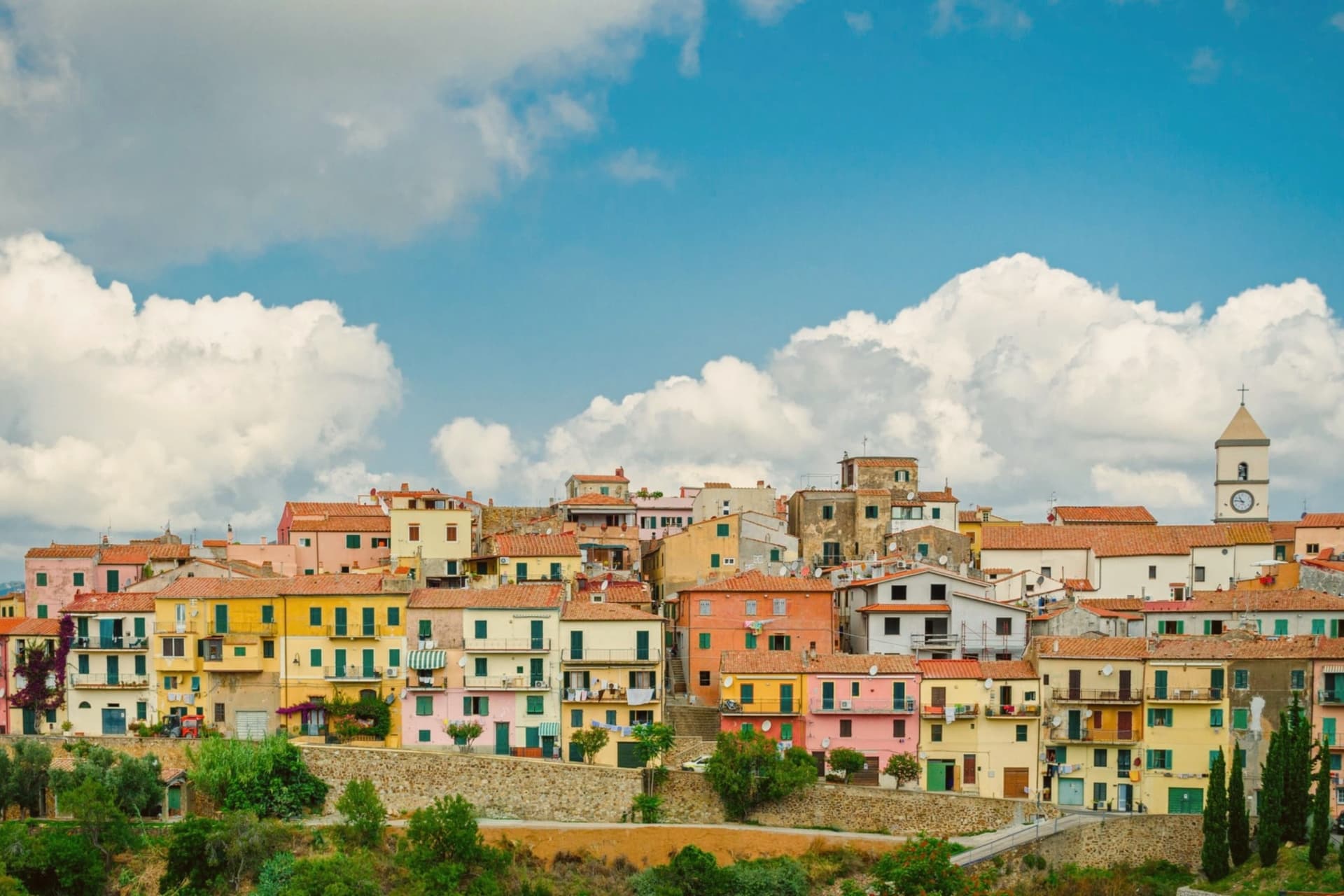
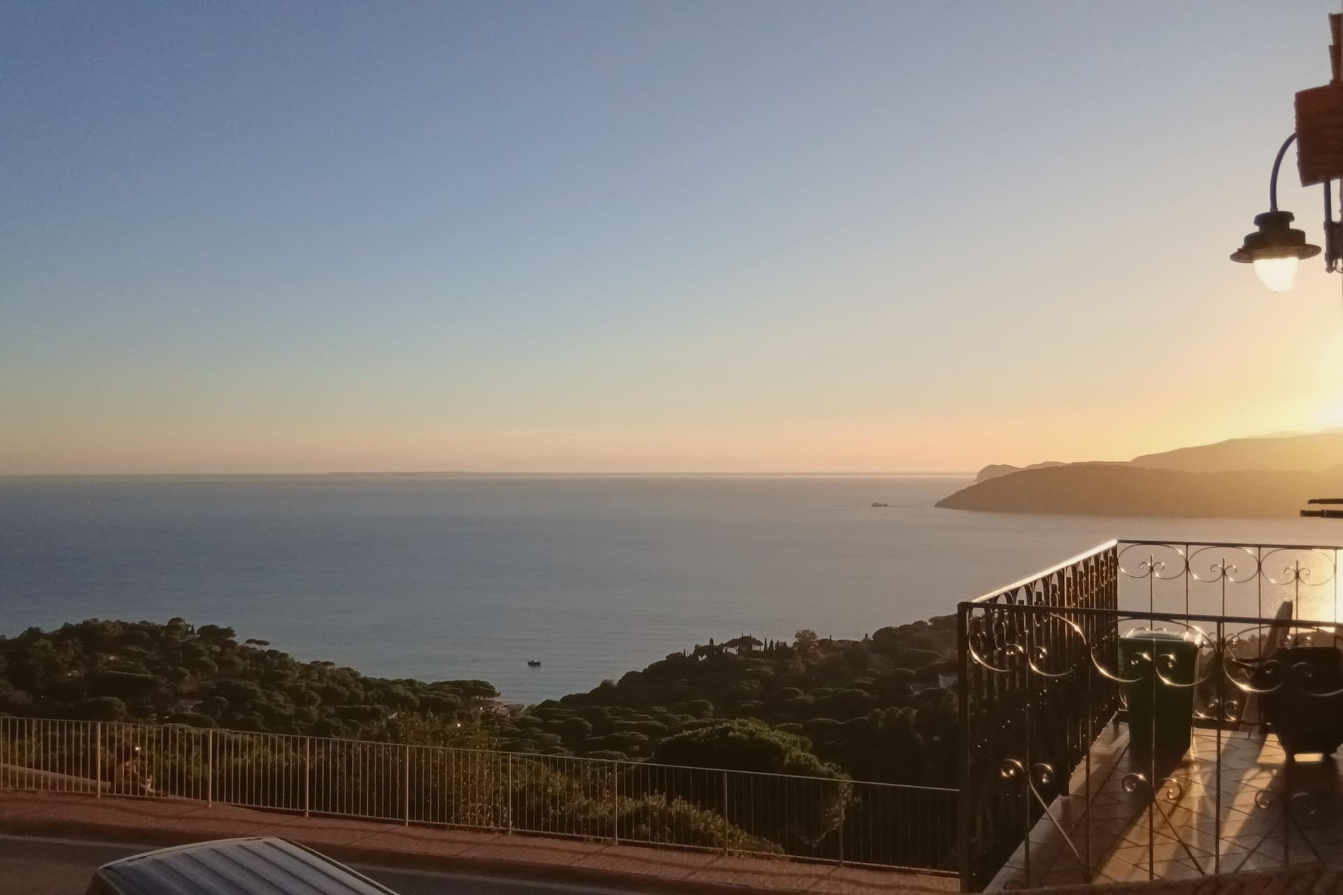
A medieval hill town on the eastern lobe of Elba, with 35 kilometers of coast below.
- Best time
- May–Sep
- By car
- 2 h 20 min from Pisa
- Population
- 3,899
Known for
IRON MINES
Three-thousand-year mining history on Monte Calamita, magnetite and hematite worked from Etruscan times to 1980.
35 KM OF COAST
More coastline than any other comune on Elba, with sand and pebble beaches on all three sides of the southern lobe.
TUSCAN ARCHIPELAGO PARK
Inside the Parco Nazionale dell'Arcipelago Toscano, the largest marine protected area in the European Mediterranean.
When to visit
Best · May–Sep
- J12°
- F13°
- M14°
- A16°
- M20°
- J25°
- J29°
- A29°
- S25°
- O20°
- N16°
- D13°
- Best
- Hot or crowded
- Quiet
- Mostly closed
Daytime averages, 2020–2024. The sea is warmest in August at 28° and coldest in February at 15°. Weather data by Open-Meteo.com.
Why come
The name comes from Caput Liberum, the Roman head of the free territory. The medieval town that grew up on that ground sits on a terrace and is built into the slope as a maze of narrow alleys called chiassi, opening onto small piazzas rather than any wider square. Below it the southern lobe of Elba unfolds into thirty-five kilometers of coastline, more than any other comune on the island, and the beaches, Innamorata, Morcone, Pareti and Zuccale, are reached by a network of dirt roads off the ridge rather than by a single road along the shore.
The fishermen still go out at four in the morning from the cove at Naregno. What holds the town together is that relation between height and shore: a hill settlement governing a coastline it does not directly touch, with the old mining ground on the mountain behind it folded into the same protected park as the water below.
The Sunday letter
Capoliveri is on our list. Its letter is still to come.
We are writing about all 1,000 of these towns, one at a time, in a free letter every Sunday: the photo, the food, the festa. That is our mission. Sign up and you will be there when Capoliveri comes up. By Peter & Sophia, from Pietrasanta.
Read on
Capoliveri in our articles
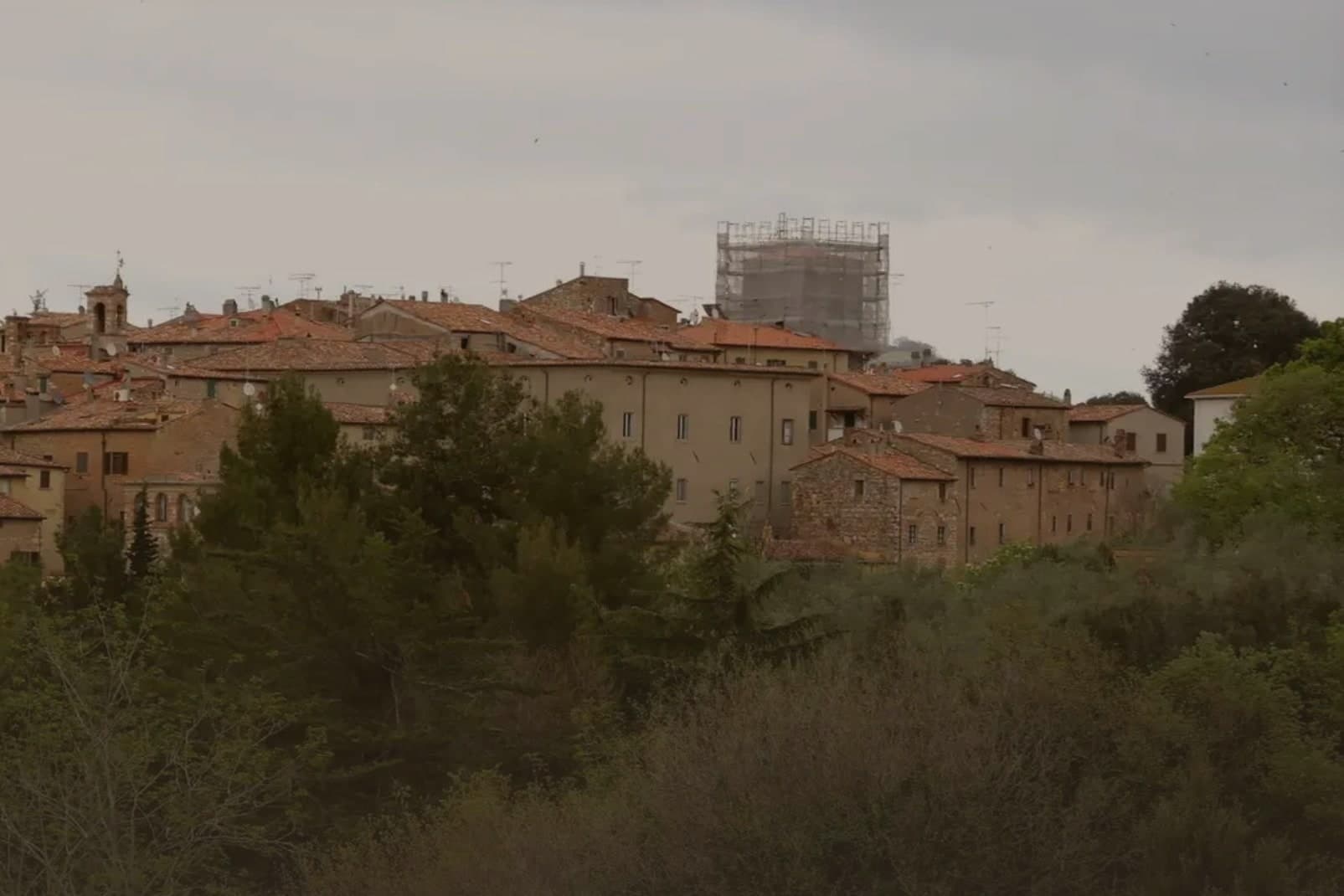
 The best small coastal towns in Toscana6 towns, Capoliveri among them.
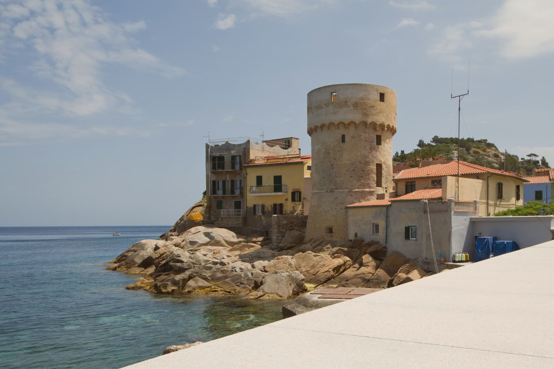
 The 7 best coastal towns in the province of Livorno7 towns, Capoliveri among them.
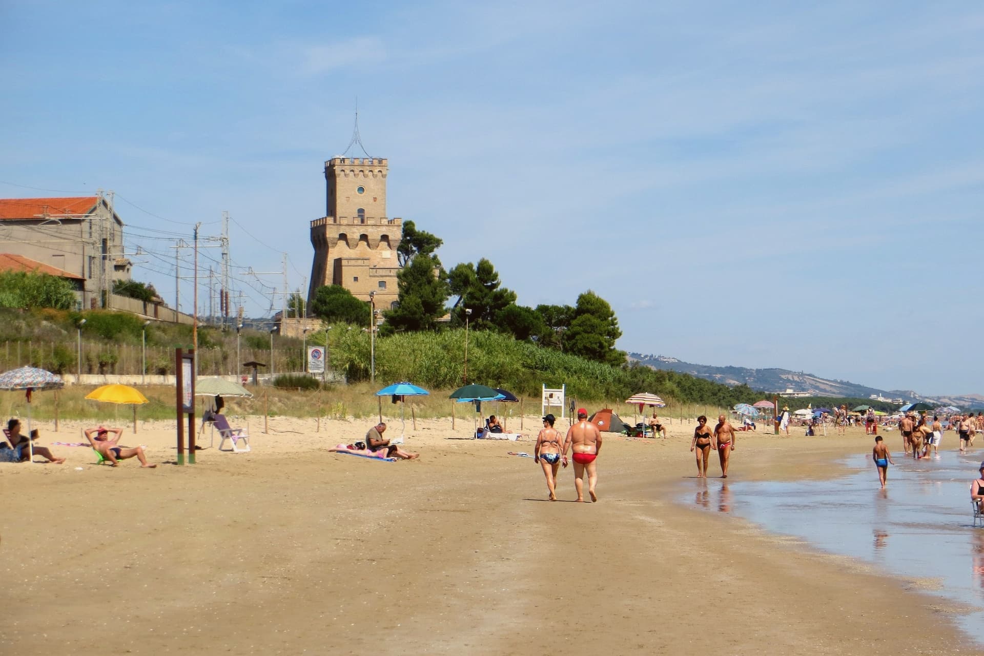
 The best towns inside a national park in Toscana8 towns, Capoliveri among them.
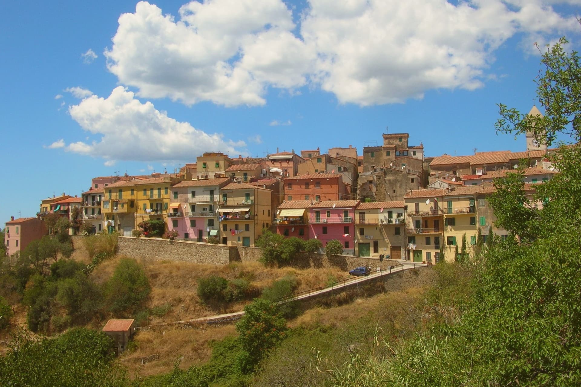
 The best small beach towns in Italy that nobody sells you, all of them145 towns, Capoliveri among them.
How to get there
From Florence / Pisa (PSA), about 2h 26m by car.
Bologna (BLQ) is about 4 hours away.
By car from the centre of Pisa 2h 20m, Siena 3 hours or Florence 3h 11m.
What to see
Centro storico
Medieval village built into the slope of the mountain, with narrow stepped alleys called chiassi giving onto small piazzas.
Miniere del Calamita
The galleries and open pits sit on the eastern flank of Monte Calamita, now a heritage trail with guided tours through the abandoned works.
Spiaggia dell'Innamorata
Pebble beach on the southern coast, named for a sixteenth-century pair of lovers killed in a pirate raid, commemorated each July.
Spiaggia di Morcone
Sandy crescent on the southeast coast, sheltered, the largest of the Capoliveri beaches.
Punta Calamita
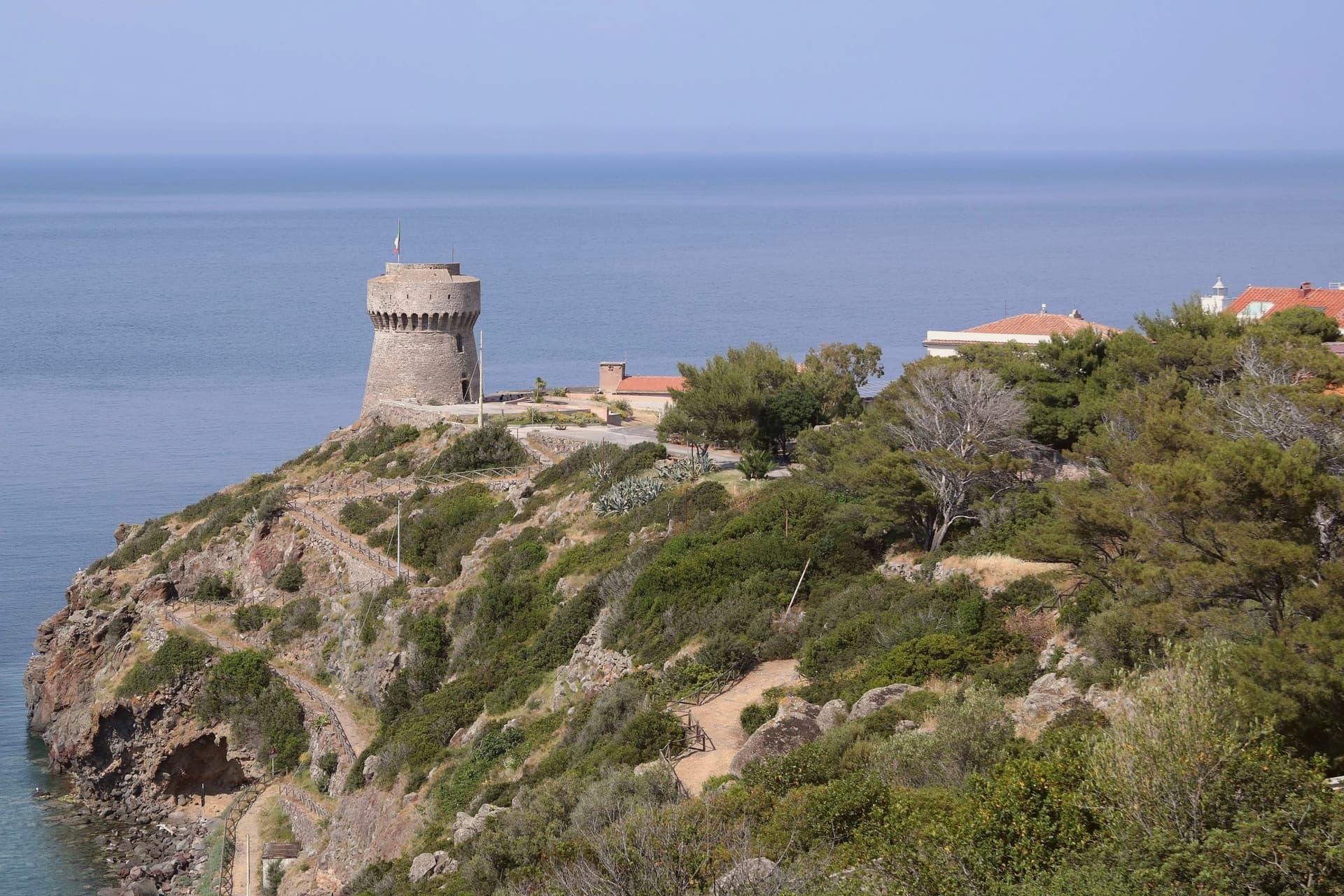
Southern headland of Elba, the panoramic finish of Monte Calamita with views to Pianosa and Montecristo.
The slow-trip planner
Building a trip? Find where Capoliveri fits in a slow Italy circuit.
Answer five questions. We will shape a geographically coherent slow trip from the 1,000 Italian towns most travelers skip. Yours to save and share.
Living here
- Population 3,899
- Very remotei
- Pharmacy in town
- High school within a 30-minute drive
- Nearest airport Florence / Pisa, 2 h 26 min drive
- Regional capital Firenze, 3 h 11 min drive
Common questions
- What is Capoliveri known for?
- Capoliveri is a medieval hill town at 167 meters on the eastern lobe of Elba, with 35 kilometers of coast below.
- Where is Capoliveri?
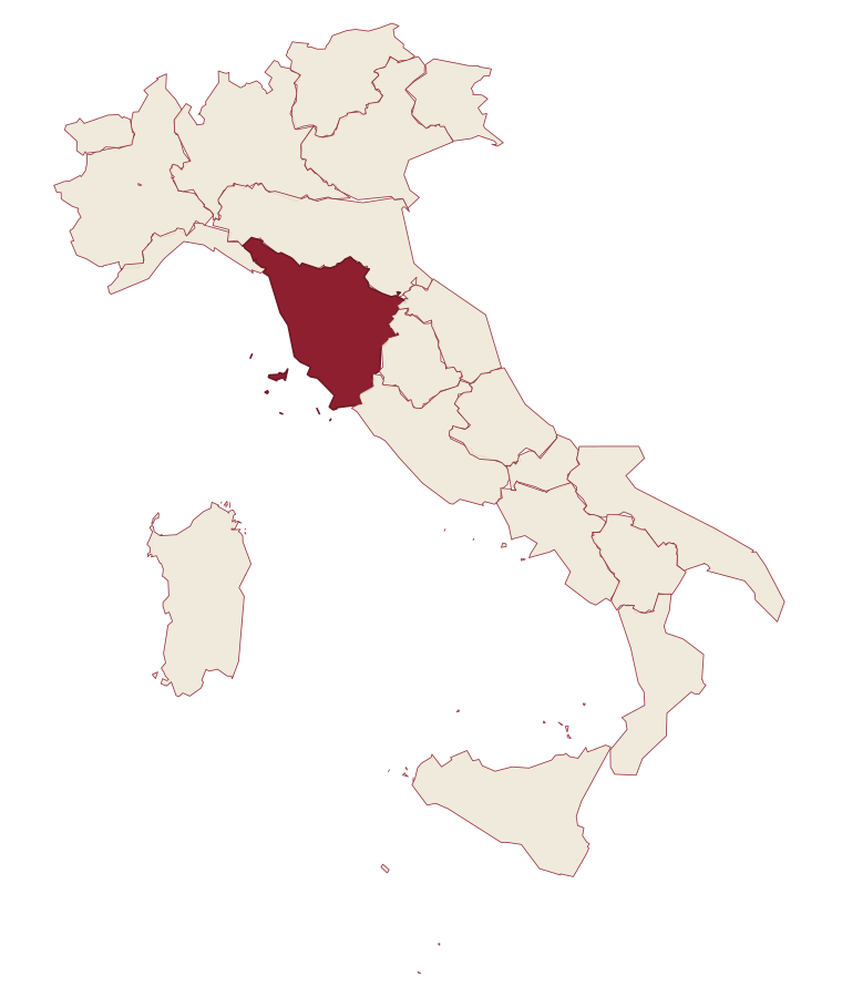
- Capoliveri is a comune in the province of Livorno, in Tuscany.
- What is the nearest airport to Capoliveri?
- Florence / Pisa (PSA), about 2h 26m by car.
- How long is the drive from Pisa to Capoliveri?
- About 2h 20m by car.
- When is the best time to visit Capoliveri?
- Best in May–Sep. August is the warmest month, averaging 29 degrees, and December the wettest, with about 12 rain days.
- Which other towns are like Capoliveri?
- Praia a Mare, Bibbona and Castagneto Carducci.
- How many people live in Capoliveri?
- 3,899 at the 2023 count.
Tags & datadesignations · numbers · sources
Recognised as
The numbers
- Elevation: 167 m
- Population: 3,899
- Surface area: 39.56 km²
These figures were compiled from public directories: ISTAT, OpenStreetMap and Wikidata, and from the official listings of the guides named on this page. Town details change; verify with official sources before you travel.
Similar
Towns like Capoliveri
Praia a Mare
Province: Cosenza
both on the Tyrrhenian coast · both between 3,000 and 10,000 people
Bibbona
Province: Livorno
both on the Tyrrhenian coast · both between 3,000 and 10,000 people
Castagneto Carducci
Province: Livorno
both on the Tyrrhenian coast · both between 3,000 and 10,000 people
Forte dei Marmi
Province: Lucca
both on the Tyrrhenian coast · both between 3,000 and 10,000 people
Castiglione della Pescaia
Province: Grosseto
both on the Tyrrhenian coast · both between 3,000 and 10,000 people
Scilla
Province: Reggio di Calabria
both on the Tyrrhenian coast · both between 3,000 and 10,000 people
🌲 Parco Nazionale
More Parco Nazionale towns in Tuscany
Capraia Isola
Province: Livorno
A volcanic island of 370 residents and one village, a penal colony from 1873 to 1986 and a national park since.
Fivizzano
Province: Massa-Carrara
The draw here is not the capoluogo but its 92 mountain frazioni, scattered across a Lunigiana commune where a thermal gorge, an intact fortress and a ridge-top hamlet each stand as their own destination.
Grosseto
Province: Grosseto
The Maremma capital on the Ombrone river, ringed by hexagonal Medici walls of 1564 that now serve as the city's public park.
Isola del Giglio
Province: Grosseto
A granite island in the Tyrrhenian Archipelago, walled village on the ridge, port below, where the Costa Concordia ran aground in January 2012.
Licciana Nardi
Province: Massa-Carrara
A Lunigiana Malaspina village at 215 meters in the Apennine Tosco-Emiliano park, named in 1933 for the Risorgimento patriot Anacarsi Nardi.