
Abruzzo · Pescara
Caramanico Terme
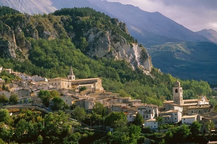
A 650-meter Majella spa village at the confluence of the Orfento and Orta rivers.
- Best time
- All year
- By car
- 1 h from Pescara
- Population
- 1,779
Known for
SULPHUR SPRINGS
La Salute and Gisella springs, sulphurous mineral water documented since 1576, treating respiratory, skin and joint conditions.
VALLE DELL'ORFENTO
Deep beech-forest gorge cut into the Majella, the main hiking gateway into the park's western wall.
SAN TOMMASO BECKET
Unfinished 1202 abbey to Thomas of Canterbury five kilometers out of town, built over a ninth-century pieve.
When to visit
Best · All year
- J9°
- F12°
- M12°
- A15°
- M20°
- J26°
- J30°
- A29°
- S24°
- O20°
- N14°
- D10°
- Best
- Hot or crowded
- Quiet
- Mostly closed
Daytime averages, 2020–2024. Weather data by Open-Meteo.com.
Why come
The name carries the Lombard arimannia, a settled clan of the late Middle Ages, and the town grew under the D'Aquino family in the fourteenth and fifteenth centuries, when the main religious buildings went up. Terme was added to the name in 1960, recognising what had been known and used since at least 1576, when the first chemical analyses of the local waters were recorded.
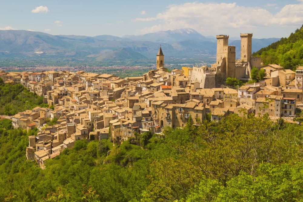
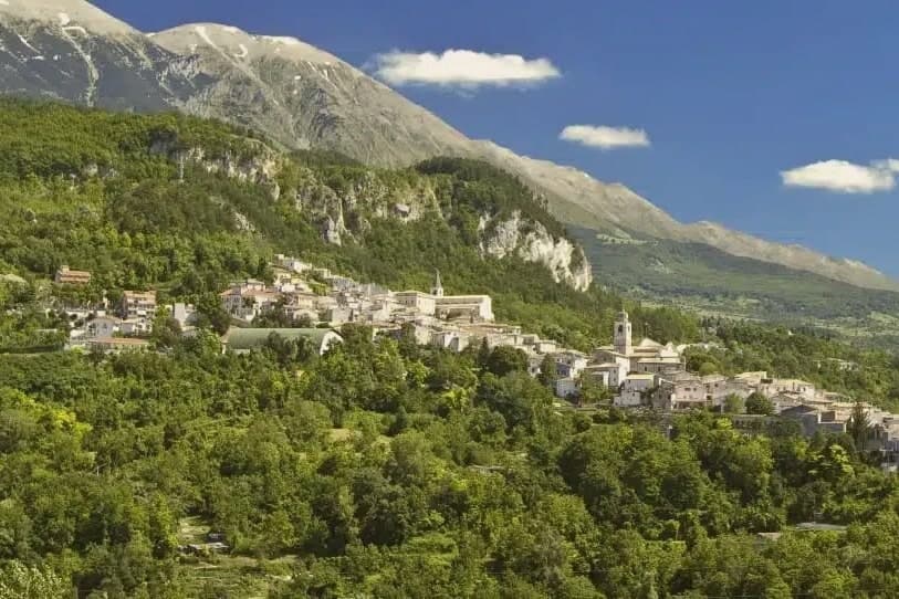
The village sits between Monte Morrone and the Majella, with the historic core on the hilltop above and the spa lower down, closer to the meeting of the two rivers. The abbey stands apart from both, five kilometers out, a separate outpost from the town it belongs to. What holds the place together is the water: a medieval settlement, a fourteenth-century noble family's building program, and a twentieth-century name change all trace back to the same springs that first drew analysis in 1576.
The Sunday letter
Caramanico Terme is on our list. Its letter is still to come.
We are writing about all 1,000 of these towns, one at a time, in a free letter every Sunday: the photo, the food, the festa. That is our mission. Sign up and you will be there when Caramanico Terme comes up. By Peter & Sophia, from Pietrasanta.
Read on
Caramanico Terme in our articles
 The 6 prettiest villages with a serious restaurant within 90 minutes of Pescara6 towns, Caramanico Terme among them.
 The prettiest small villages that eat well within 90 minutes of Pescara7 towns, Caramanico Terme among them.
 The prettiest villages that eat well in Abruzzo7 towns, Caramanico Terme among them.
 The best hidden towns with a serious restaurant that eat well within 90 minutes of Pescara8 towns, Caramanico Terme among them.
How to get there
From Ancona / Pescara (AOI), about 2h 36m by car.
Rome (FCO) is about 3h 9m away.
By car from the centre of Pescara 1 hour or Ancona 2h 31m.
Coming by train into Pescara Centrale? Caramanico Terme is about 1 hour away by road.
What to see
Abbazia di San Tommaso Becket
Romanesque, standing unfinished since work stopped, the walls left mid-build over the older pieve beneath. The distance from the centre keeps it apart from the rest of the town's sights, reached on its own.
Chiesa di Santa Maria Maggiore
Fifteenth-century church with a Gothic exterior and an ogival portal showing the Coronation of the Virgin dated 1476.
Terme di Caramanico
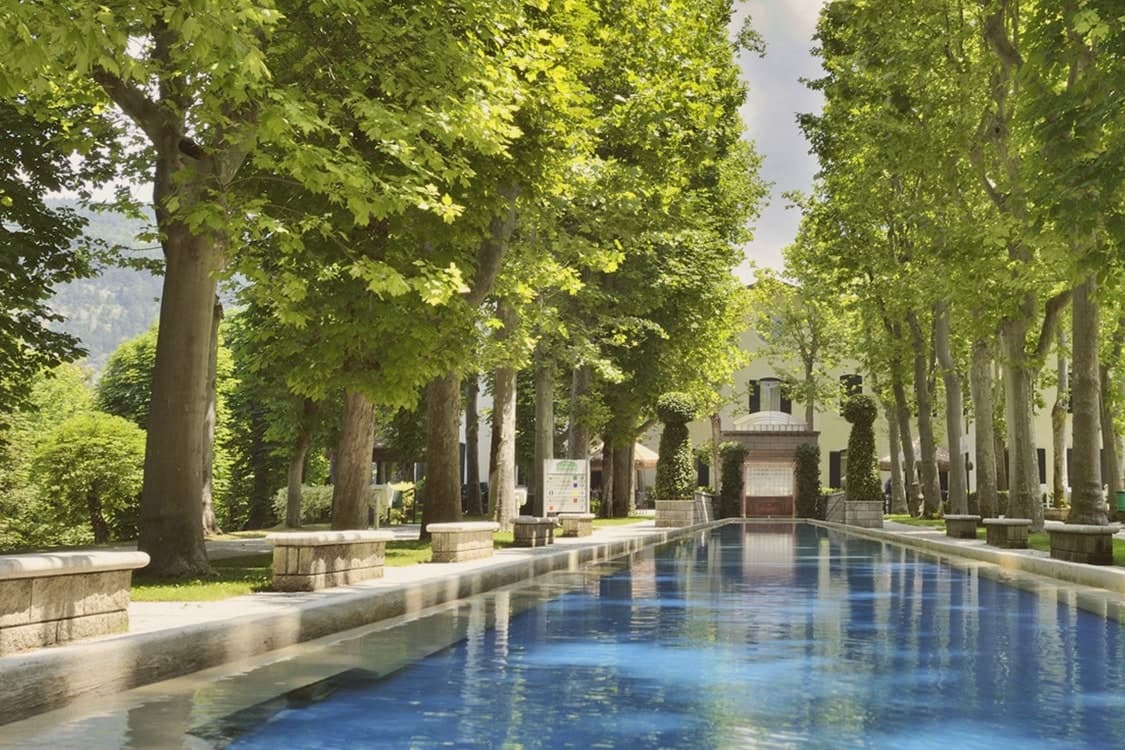
The spa complex built around the two springs, with treatment programs for respiratory, ENT, skin and joint conditions organized across the site today.
Valle dell'Orfento
Marked trails follow the river below through beech forest, climbing the gorge behind the village toward the exposed rock of the western wall.
Chiesa di San Domenico
Smaller centro-storico church with a pointed-arch doorway, on the route down the village toward the valley floor.
Centro storico
Hilltop medieval core above the spa, with the D'Aquino-era street layout intact and views back toward Monte Morrone.
The slow-trip planner
Building a trip? Find where Caramanico Terme fits in a slow Italy circuit.
Answer five questions. We will shape a geographically coherent slow trip from the 1,000 Italian towns most travelers skip. Yours to save and share.
We recommend
Where to eat
Not our picks, but places the guides put their name to: a Michelin star, a Gambero Rosso fork, a Slow Food snail, a Michelin Key for the hotels. Worth a table, a counter, or a night when you pass through.
Locanda del BaroneRistorante
A Michelin Bib Gourmand, at Locanda del Barone.
Through the year
What happens here
Feasts and festivals that come back year after year. We give the month rather than the date, because the date moves and the month rarely does. Check with the source before you plan a journey around one.
Mercato Settimanale Di Caramanico Termemarket
usually held in October. eventiesagre.it
Living here
- Population 1,779
- Remotei
- Pharmacy in town
- Nearest high school over ~30 minutes away
- Nearest airport Ancona / Pescara, 2 h 36 min drive
- Regional capital L'Aquila, 1 h 52 min drive
This is a thermal town: terme operate here.
Common questions
- What is Caramanico Terme known for?
- Caramanico Terme is a 650-meter Majella spa village at the confluence of the Orfento and Orta rivers.
- Where is Caramanico Terme?
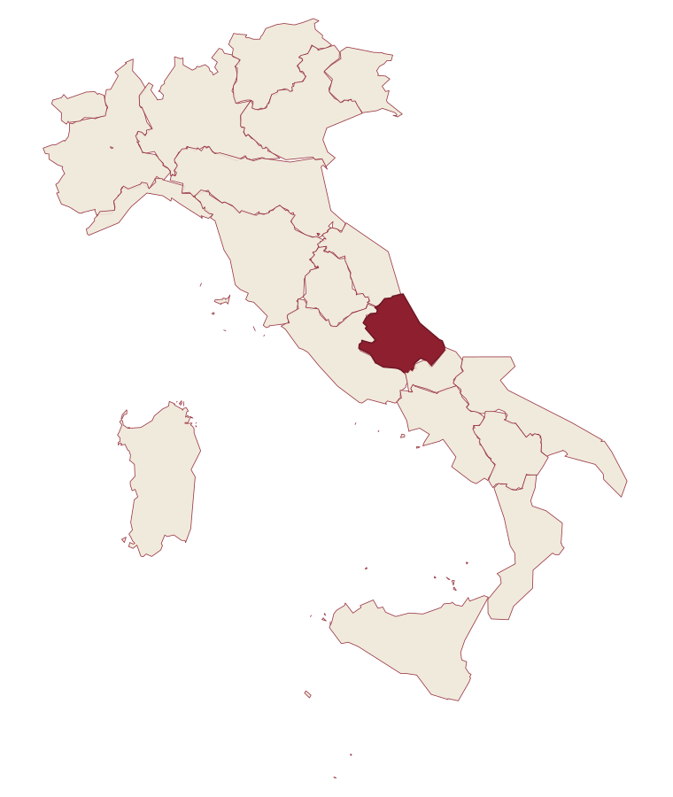
- Caramanico Terme is a comune in the province of Pescara, in Abruzzo, at 650 meters above sea level.
- What is the nearest airport to Caramanico Terme?
- Ancona / Pescara (AOI), about 2h 36m by car.
- How long is the drive from Pescara to Caramanico Terme?
- About 1 hour by car.
- When is the best time to visit Caramanico Terme?
- Best All year. July is the warmest month, averaging 30 degrees, and May the wettest, with about 13 rain days.
- Is there a sagra or a festival in Caramanico Terme?
- Yes. Mercato Settimanale Di Caramanico Terme. October is when the first of them falls.
- Which other towns are like Caramanico Terme?
- San Casciano dei Bagni, Fiuggi and Cascia.
- How many people live in Caramanico Terme?
- 1,779 at the 2023 count.
Tags & datadesignations · numbers · sources
The numbers
- Elevation: 650 m
- Population: 1,779
- Surface area: 84.99 km²
These figures were compiled from public directories: ISTAT, OpenStreetMap and Wikidata, and from the official listings of the guides named on this page. Town details change; verify with official sources before you travel.
Similar
Towns like Caramanico Terme
San Casciano dei Bagni
Province: Siena
both spa towns · both under 3,000 people
Fiuggi
Province: Frosinone
both spa towns · both high up, between 600 and 1,000 metres
Cascia
Province: Perugia
both under 3,000 people · both high up, between 600 and 1,000 metres
Monte Santa Maria Tiberina
Province: Perugia
both under 3,000 people · both high up, between 600 and 1,000 metres
Acquasanta Terme
Province: Ascoli Piceno
both spa towns · both under 3,000 people
Introdacqua
Province: L'Aquila
both under 3,000 people · both high up, between 600 and 1,000 metres
🎨 Borghi più belli d'Italia
More Borghi più belli d'Italia towns in Abruzzo
Anversa degli Abruzzi
Province: L'Aquila
At 604 meters above the Sagittario Gorges, a cliff village built around a Norman castle rebuilt by the Counts of Sangro.
Campli
Province: Teramo
A 393-meter town under the Monti della Laga, held by the Farnese for two centuries, with a Scala Santa carrying papal indulgence.
Casoli
Province: Chieti
A 378-meter hill town above the Aventino under the Maiella, with a pentagonal Norman tower that once hosted a court of artists.
Castel del Monte
Province: L'Aquila
At 1,346 meters under Monte Bolza facing Rocca Calascio, the capital of shepherds, whose wool reached the Medici and whose witches return each August.
Città Sant'Angelo
Province: Pescara
A hilltop borgo at 320 meters between the Vestina hills and the Adriatic, named for the Archangel and known since 1352 as a Collegiata seat.