
Known for
VOLCANIC ISLAND
Third largest in the Tuscan Archipelago, the only one of volcanic origin, with the eruption cone still visible at Cala Rossa.
PENAL COLONY
Italian state-run agricultural prison from 1873 to 1986, occupying two thirds of the island and emptying the original population.
ARCIPELAGO TOSCANO PARK
Whole island and surrounding waters protected since 1996 inside the largest marine park in the European Mediterranean.
When to visit
Best · May–Sep
- J13°
- F13°
- M14°
- A15°
- M19°
- J23°
- J26°
- A27°
- S24°
- O21°
- N17°
- D14°
- Best
- Hot or crowded
- Quiet
- Mostly closed
Daytime averages, 2020–2024. The sea is warmest in August at 28° and coldest in February at 15°. Weather data by Open-Meteo.com.
The festa: Nicola di Bari, 6 December
Why come
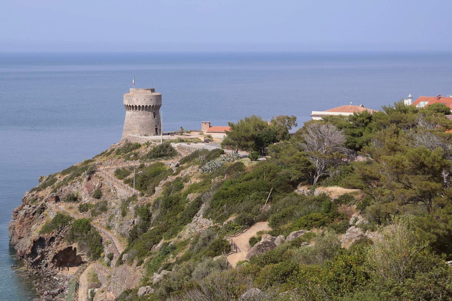
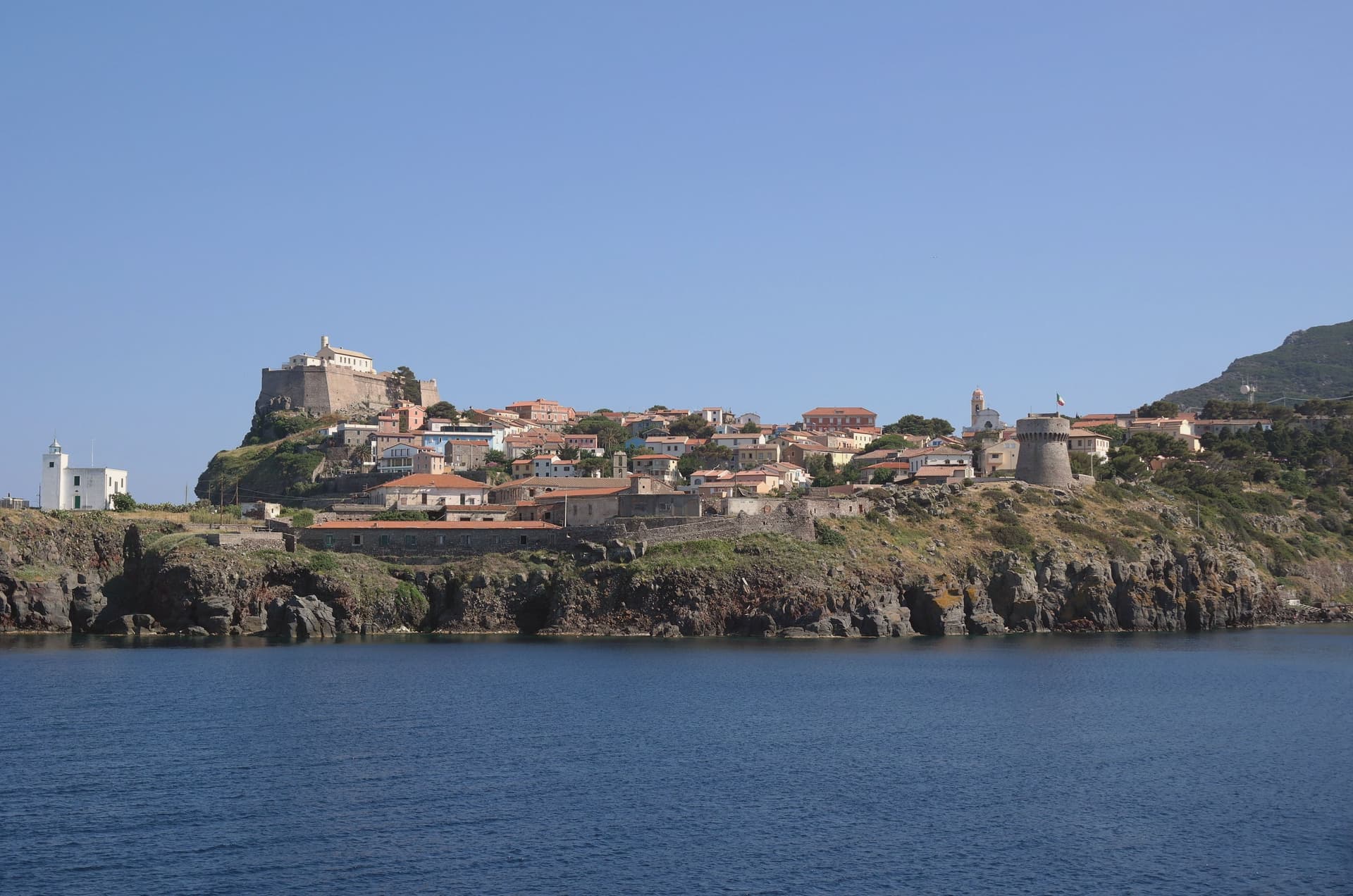
The island is the northernmost of seven, sitting apart from Elba and Giglio to its south. It carries one village and one harbor, and beyond a few service vehicles there are no cars. The volcanic plateau rises above the settlement, holding the freshwater lake at its center, the only one of its kind among the archipelago's islands, while the coast runs down to the red cliffs on the western side and out to the abandoned signal station at the southern tip.
The fort above the harbor stood guard for two centuries before the island's later history turned inward: the penal colony took two thirds of the land from 1873, pushed out most residents, and left its buildings to scrub after 1986, the same year its fences and cells came down. Ten years later the park absorbed the island whole, water and land together. The comune now counts 370 residents, the least-populated Italian municipality with an outlet to the sea. What was built to confine the island then opened it: a fortress, a prison, and now a park have each in turn defined how much of Capraia belongs to the few who live there and how much is held in trust for everyone else.
The Sunday letter
Capraia Isola is on our list. Its letter is still to come.
We are writing about all 1,000 of these towns, one at a time, in a free letter every Sunday: the photo, the food, the festa. That is our mission. Sign up and you will be there when Capraia Isola comes up. By Peter & Sophia, from Pietrasanta.
Read on
Capraia Isola in our articles
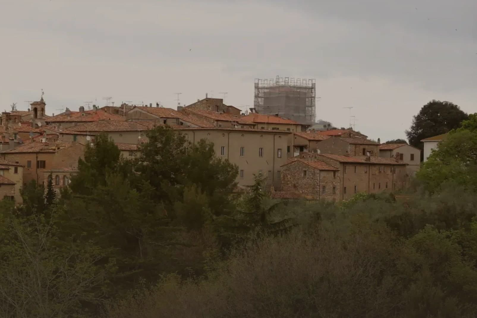
 The best small coastal towns in Toscana6 towns, Capraia Isola among them.
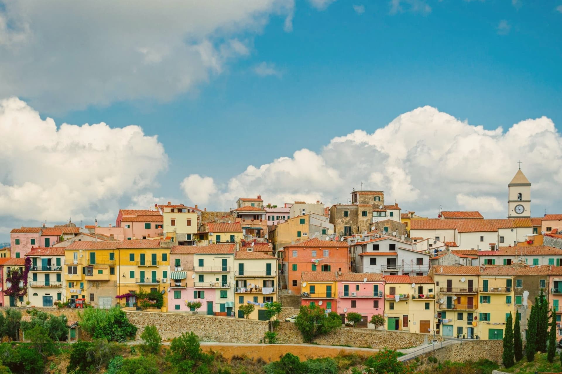
 The 7 best coastal towns in the province of Livorno7 towns, Capraia Isola among them.
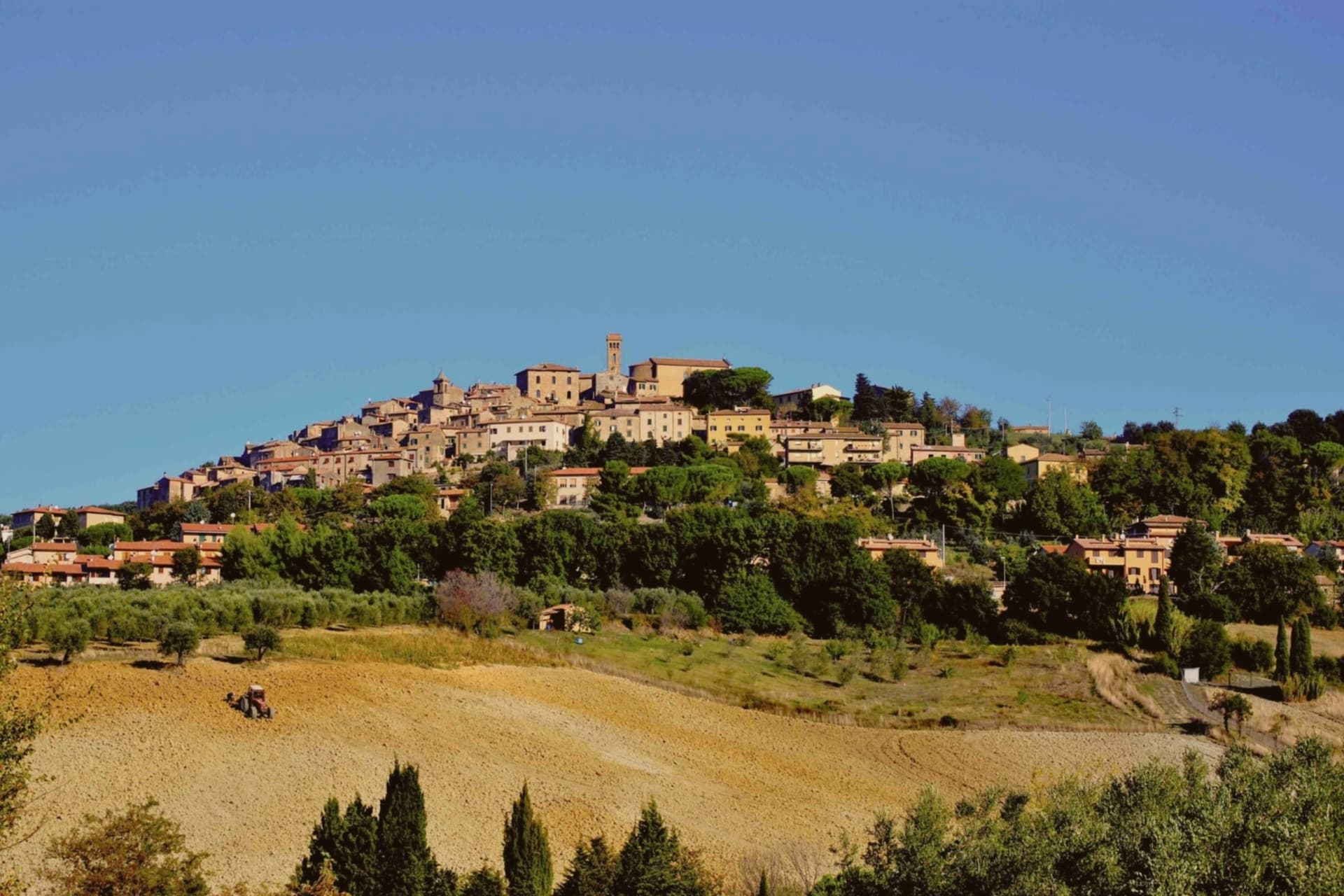
 The best towns inside a national park in Toscana8 towns, Capraia Isola among them.
 The 10 smallest comuni in Tuscany10 towns, Capraia Isola among them.
How to get there
Capraia Isola is on an island and is reached by ferry.
What to see
Forte San Giorgio
Genoese fort above the harbor, built in 1540 on the foundation of an earlier tower destroyed by Turgut Reis. It held the line against pirates for two centuries.
Cala Rossa
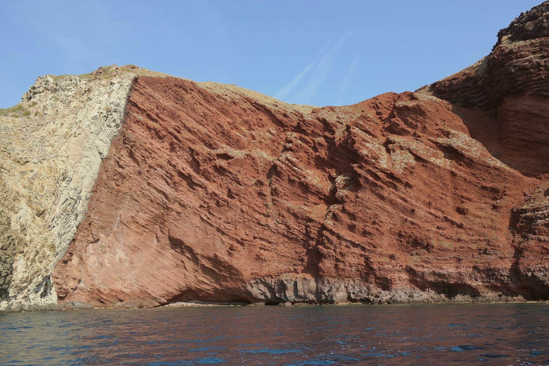
Red volcanic cove on the western side of the island, where the cliffs hold the color of oxidized basalt.
Stagnone
Small natural lake at 320 meters on the volcanic plateau above the village, the only freshwater basin in the Tuscan Archipelago.
Sentiero del Semaforo
Coastal trail to the abandoned naval signal station at the southern tip, with views to Corsica on clear days.
Colonia Penale ruins
Abandoned buildings at the north end of the island, dismantled after the prison closed and slowly returning to scrub.
The slow-trip planner
Building a trip? Find where Capraia Isola fits in a slow Italy circuit.
Answer five questions. We will shape a geographically coherent slow trip from the 1,000 Italian towns most travelers skip. Yours to save and share.
Through the year
What happens here
Feasts and festivals that come back year after year. We give the month rather than the date, because the date moves and the month rarely does. Check with the source before you plan a journey around one.
Sagra del Totano Capraiafood festival
usually held across October and November. sagritaly.com
Living here
- Population 370
- Very remotei
- Pharmacy in town
- Regional capital Firenze, 4 h 36 min drive
Common questions
- What is Capraia Isola known for?
- Capraia Isola is a volcanic island of 370 residents and one village, a penal colony from 1873 to 1986 and a national park since.
- Where is Capraia Isola?
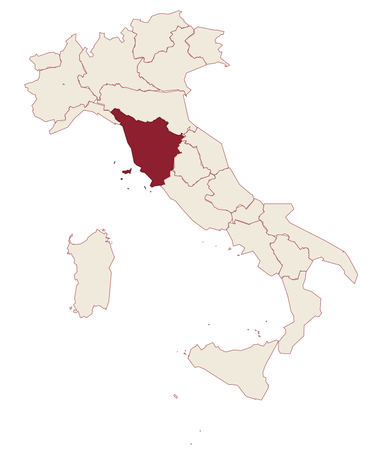
- Capraia Isola is a comune in the province of Livorno, in Tuscany, at 19 meters above sea level.
- How do you get to Capraia Isola?
- Capraia Isola is on an island and is reached by ferry.
- When is the best time to visit Capraia Isola?
- Best in May–Sep. August is the warmest month, averaging 27 degrees, and December the wettest, with about 14 rain days.
- Is there a sagra or a festival in Capraia Isola?
- Yes. Sagra del Totano Capraia. October is when the first of them falls.
- Which other towns are like Capraia Isola?
- Ventotene, Isole Tremiti and Forio.
- How many people live in Capraia Isola?
- 370 at the 2023 count.
Tags & datadesignations · numbers · sources
Recognised as
The numbers
- Elevation: 19 m
- Population: 370
- Surface area: 19.33 km²
On the map
These figures were compiled from public directories: ISTAT, OpenStreetMap and Wikidata, and from the official listings of the guides named on this page. Town details change; verify with official sources before you travel.
Similar
Towns like Capraia Isola
Ventotene
Province: Latina
both on the Tyrrhenian coast · both under 1,000 people
Isole Tremiti
Province: Foggia
both under 1,000 people · both near sea level
Forio
Province: Napoli
both on the Tyrrhenian coast · both near sea level
Procida
Province: Napoli
both on the Tyrrhenian coast · both near sea level
Capri
Province: Napoli
both on the Tyrrhenian coast · both near sea level
Isola del Giglio
Province: Grosseto
both on the Tyrrhenian coast · both islands, reached by ferry
🌲 Parco Nazionale
More Parco Nazionale towns in Tuscany
Capoliveri
Province: Livorno
A medieval hill town at 167 meters on the eastern lobe of Elba, with 35 kilometers of coast below.
Fivizzano
Province: Massa-Carrara
The draw here is not the capoluogo but its 92 mountain frazioni, scattered across a Lunigiana commune where a thermal gorge, an intact fortress and a ridge-top hamlet each stand as their own destination.
Grosseto
Province: Grosseto
The Maremma capital on the Ombrone river, ringed by hexagonal Medici walls of 1564 that now serve as the city's public park.
Isola del Giglio
Province: Grosseto
A granite island in the Tyrrhenian Archipelago, walled village on the ridge, port below, where the Costa Concordia ran aground in January 2012.
Licciana Nardi
Province: Massa-Carrara
A Lunigiana Malaspina village at 215 meters in the Apennine Tosco-Emiliano park, named in 1933 for the Risorgimento patriot Anacarsi Nardi.