
Abruzzo · Chieti
Fara San Martino
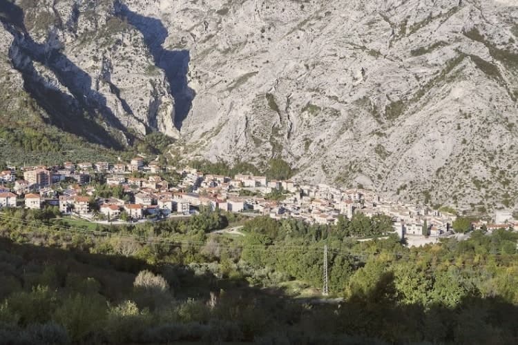
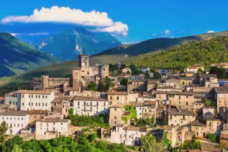
A pasta-making town, where the Verde river runs out of a two-meter slot in the Majella wall.
- Best time
- Apr–Oct
- By car
- 2 h 23 min from Pescara
- Population
- 1,289
Known for
PASTA
De Cecco founded here in 1886, Delverde and Cocco still in operation; the town is called the world capital of dry pasta.
GOLE DI SAN MARTINO
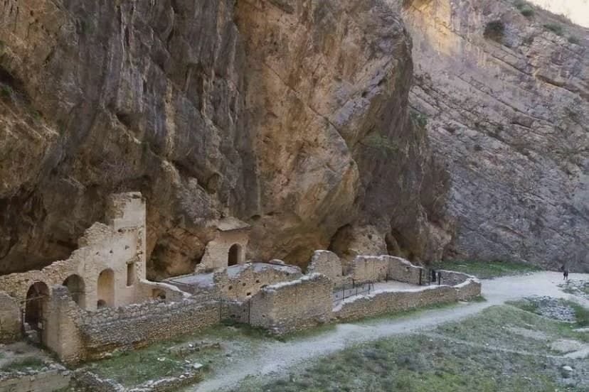
Two-meter slot gorge cut into the Majella wall, with the Verde river running out at its base and the abbey ruins inside.
MAJELLA NATIONAL PARK
The eastern gateway into Majella park, with trails climbing 2,300 meters from the gorge to Monte Amaro's summit.
When to visit
Best · Apr–Oct
- J10°
- F13°
- M13°
- A16°
- M21°
- J26°
- J29°
- A29°
- S24°
- O20°
- N15°
- D12°
- Best
- Hot or crowded
- Quiet
- Mostly closed
Daytime averages, 2020–2024. Weather data by Open-Meteo.com.
The festa: Antonio di Padova, 24 August
Why come
The name is Lombard: Fara meant a settled clan, and San Martino was added for the Benedictine abbey walled into the gorge above the village. The town sits on the eastern slopes of the Majella, the borgo built on the slope below the rock and the gorge cutting up behind it into the Valle Santo Spirito, which rises toward Monte Amaro. Upper valley and lower town are joined by the same water: the Verde emerges from the karst springs at the gorge's foot and has run the pasta mills along the river since the nineteenth century, Delverde arriving in 1967 and Cocco still shipping from the same valley today. A geography this narrow, a river this cold, and a name carried by a Lombard clan and a buried abbey: the town reads as a single system where the rock, the water and the work in the valley below are the same story told from different ends.
The Sunday letter
Fara San Martino is on our list. Its letter is still to come.
We are writing about all 1,000 of these towns, one at a time, in a free letter every Sunday: the photo, the food, the festa. That is our mission. Sign up and you will be there when Fara San Martino comes up. By Peter & Sophia, from Pietrasanta.
Read on
Fara San Martino in our articles

How to get there
From Ancona / Pescara (AOI), about 4 hours by car.
Naples / Salerno (NAP) is about 4h 22m away.
By car from the centre of Pescara 2h 23m, Ancona 4 hours or Rome 4 hours.
What to see
Gole di San Martino
Walking from the borgo into the gorge takes ten minutes and drops the temperature by five degrees, the rock walls closing to the two-meter slot at the narrowest point.
Monastero di San Martino in Valle
Abbey ruins walled into the gorge above the village, buried by the 1818 flood and dug out again from 2009 onward.
Valle Santo Spirito
Long Apennine valley rising from the gorge toward Monte Amaro, the second-highest peak in the central Apennines.
Centro storico
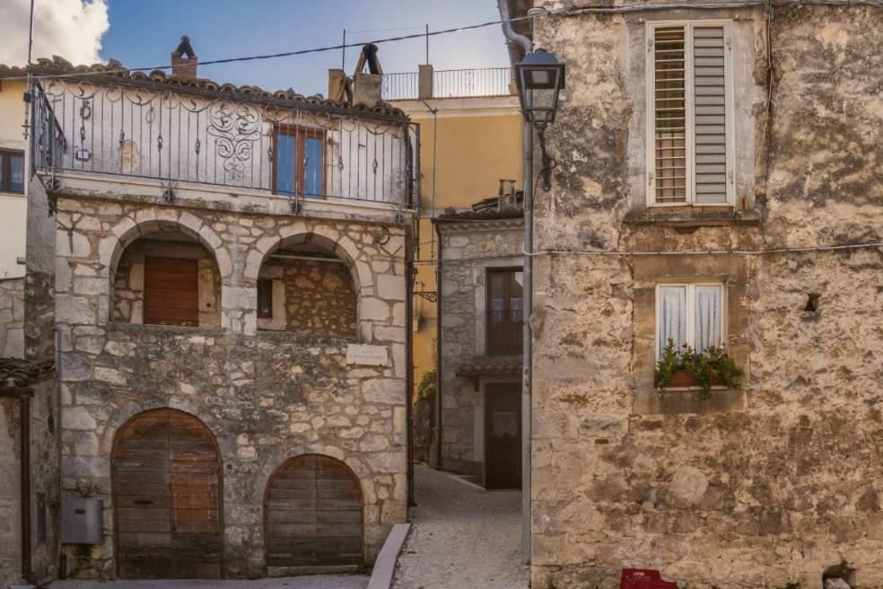
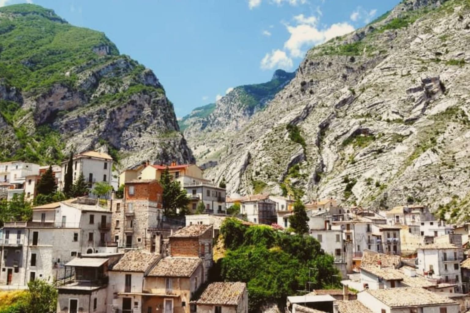
Small medieval borgo of stone houses on the slope, with the Chiesa di San Remigio as the parish church and pasta mills along the river.
Sorgenti del Verde
Karst springs at the foot of the gorge, the cold water source that De Cecco, Delverde and Cocco have used since 1886.
The slow-trip planner
Building a trip? Find where Fara San Martino fits in a slow Italy circuit.
Answer five questions. We will shape a geographically coherent slow trip from the 1,000 Italian towns most travelers skip. Yours to save and share.
Living here
- Population 1,289
- Remotei
- Pharmacy in town
- Nearest high school over ~30 minutes away
- Nearest airport Ancona / Pescara, 4 h 4 min drive
- Regional capital L'Aquila, 3 h 30 min drive
Common questions
- What is Fara San Martino known for?
- Fara San Martino is a pasta-making town at 440 meters, where the Verde river runs out of a two-meter slot in the Majella wall.
- Where is Fara San Martino?
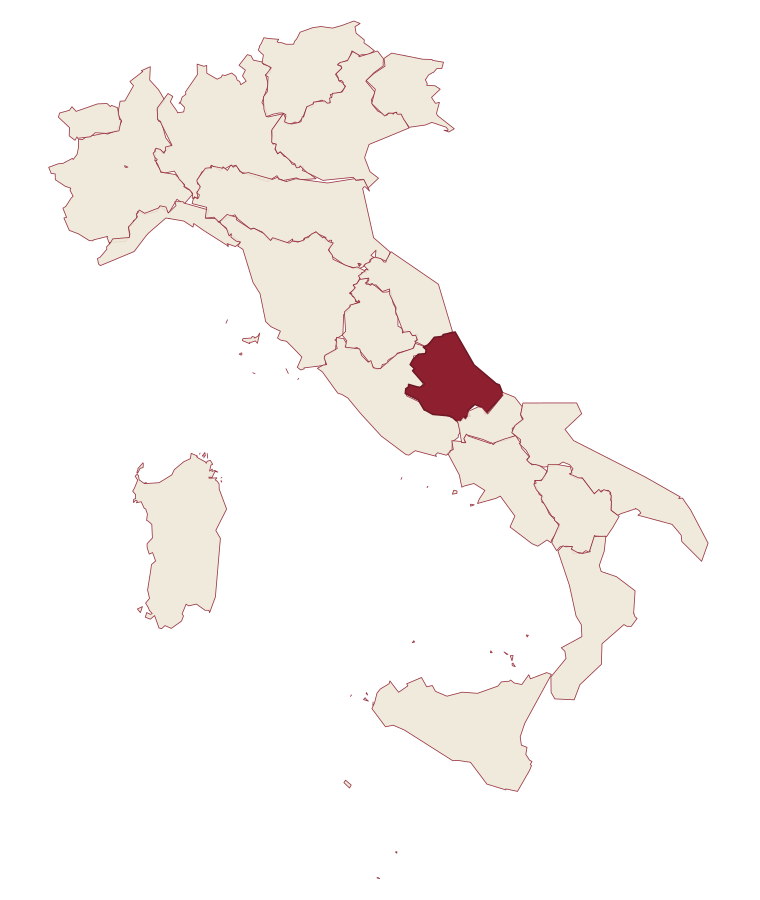
- Fara San Martino is a comune in the province of Chieti, in Abruzzo.
- What is the nearest airport to Fara San Martino?
- Ancona / Pescara (AOI), about 4 hours by car.
- How long is the drive from Pescara to Fara San Martino?
- About 2h 23m by car.
- When is the best time to visit Fara San Martino?
- Best in Apr–Oct. July is the warmest month, averaging 29 degrees, and May the wettest, with about 17 rain days.
- Is there a sagra or a festival in Fara San Martino?
- The town keeps its patron saint's day: Antonio di Padova, 24 August.
- Which other towns are like Fara San Martino?
- Archi, Poggiorsini and Aiello Calabro.
- How many people live in Fara San Martino?
- 1,289 at the 2023 count.
Tags & datadesignations · numbers · sources
The numbers
- Elevation: 440 m
- Population: 1,289
- Surface area: 44.69 km²
These figures were compiled from public directories: ISTAT, OpenStreetMap and Wikidata, and from the official listings of the guides named on this page. Town details change; verify with official sources before you travel.
Similar
Towns like Fara San Martino
Archi
Province: Chieti
both inland, away from the coast · both under 3,000 people
Poggiorsini
Province: Bari
both inland, away from the coast · both under 3,000 people
Aiello Calabro
Province: Cosenza
both inland, away from the coast · both under 3,000 people
San Mauro Forte
Province: Matera
both inland, away from the coast · both under 3,000 people
Castelcivita
Province: Salerno
both inland, away from the coast · both under 3,000 people
Oriolo
Province: Cosenza
both inland, away from the coast · both under 3,000 people
🟠 Bandiera Arancione
More Bandiera Arancione towns
Lama dei Peligni
Province: Chieti
A 669-meter Majella village known for chamois, the Cavallone cave, and a prehistoric burial dug from Fonterossi dated 7000 to 5000 BC.
Scanno
Province: L'Aquila
A 1,057-meter Sagittario valley village where women in black still walk the alleys photographed by Cartier-Bresson and Giacomelli.
Aliano
Province: Matera
The clay-hill village at 555 meters above the Agri valley where Carlo Levi served his 1935 exile and is buried in the cemetery.
Castelmezzano
Province: Potenza
A medieval village wedged into sandstone teeth at 750 meters, linked to Pietrapertosa by a 1,452-meter zipline since 2007.
Guardia Perticara
Province: Potenza
The stone village at 678 meters above the Sauro valley, rebuilt block by block in Gorgoglione sandstone after the 1980 earthquake.