
Apulia · Foggia
Monte Sant'Angelo
The Gargano peak at 843 meters, the oldest western shrine to an archangel, UNESCO since 2011.
- Best time
- May–Oct
- By car
- 2 h 22 min from Bari
- Population
- 11,353
Known for
ARCHANGEL CAVE
Sanctuary built over the cave of the 490 apparition, the oldest western shrine of its kind, UNESCO 2011 as a Lombard place of power.
VIA SACRA
Final stop of the Lombard pilgrim route to Jerusalem, a fixed station on the medieval southern arm of the Via Francigena.
PANE DI MONTE
Mountain bread of the Gargano, certified Città del Pane, baked from grano duro with a thick crust to keep through a pilgrim's day on the road.
When to visit
Best · May–Oct
- J7°
- F10°
- M10°
- A14°
- M19°
- J24°
- J27°
- A27°
- S22°
- O18°
- N12°
- D9°
- Best
- Hot or crowded
- Quiet
- Mostly closed
Daytime averages, 2020–2024. Weather data by Open-Meteo.com.
The festa: Michele, 29 September
Why come
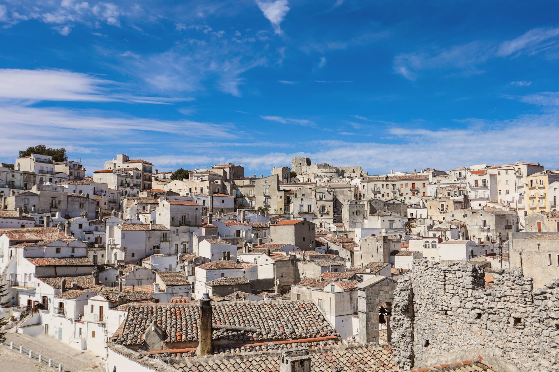
The town sits at 843 meters on the southern slope of the Gargano promontory, the highest inhabited settlement in the massif, with the Adriatic visible to the east on clear days. It is built around a cave where, according to tradition, the Archangel Michael appeared to the bishop of Siponto in 490. A first sanctuary was raised over the cave in 493, and by the seventh century the Lombards of the Duchy of Benevento had made it the principal Michaeline shrine in the West and a fixed stop on the pilgrimage route to Jerusalem now called the Via Sacra Langobardorum. UNESCO inscribed the site in 2011 as one of seven sites in the serial property 'Longobards in Italy: Places of Power (568-774 A.D.)'.
The town itself steps down from the castle at its highest point through the sanctuary at its center to Rione Junno below, the old pilgrim quarter of stepped alleys and single-pitch roofs that housed the people who served the shrine. Beyond the commune, beech and oak forest of the Gargano National Park closes in on all sides. What stands today is a settlement shaped entirely around one act of devotion, its layers of castle, cave, and quarter marking who came to guard, worship, and house the pilgrimage rather than any separate reason for a town to exist here at all.
The Sunday letter
Monte Sant'Angelo is on our list. Its letter is still to come.
We are writing about all 1,000 of these towns, one at a time, in a free letter every Sunday: the photo, the food, the festa. That is our mission. Sign up and you will be there when Monte Sant'Angelo comes up. By Peter & Sophia, from Pietrasanta.
Read on
Monte Sant'Angelo in our articles
 The best hidden towns with a serious restaurant in Puglia6 towns, Monte Sant'Angelo among them.
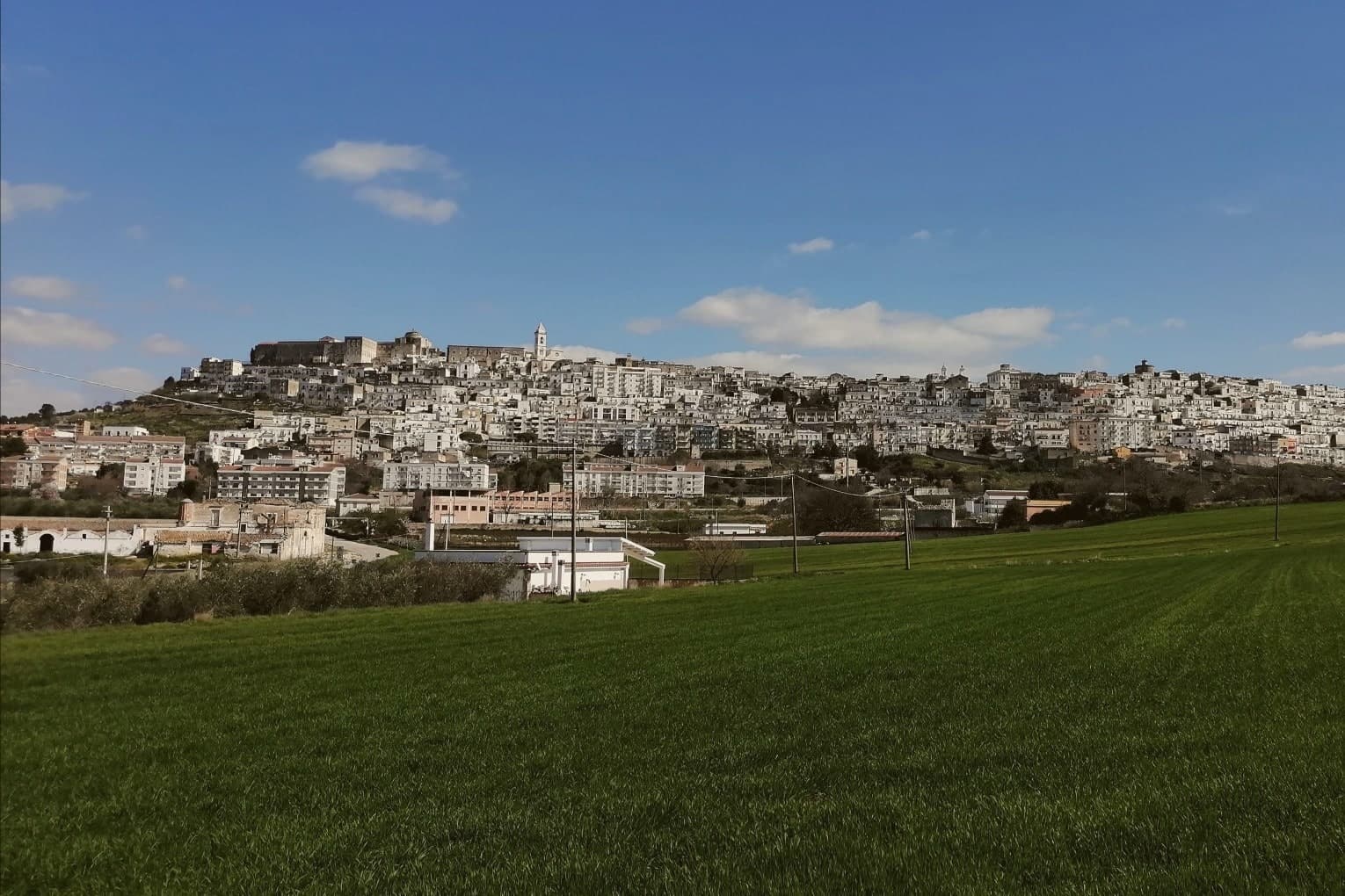 The best towns with a serious restaurant that eat well within 90 minutes of Foggia6 towns, Monte Sant'Angelo among them.
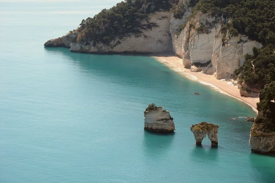 The 7 best towns inside a national park that eat well in Puglia7 towns, Monte Sant'Angelo among them.
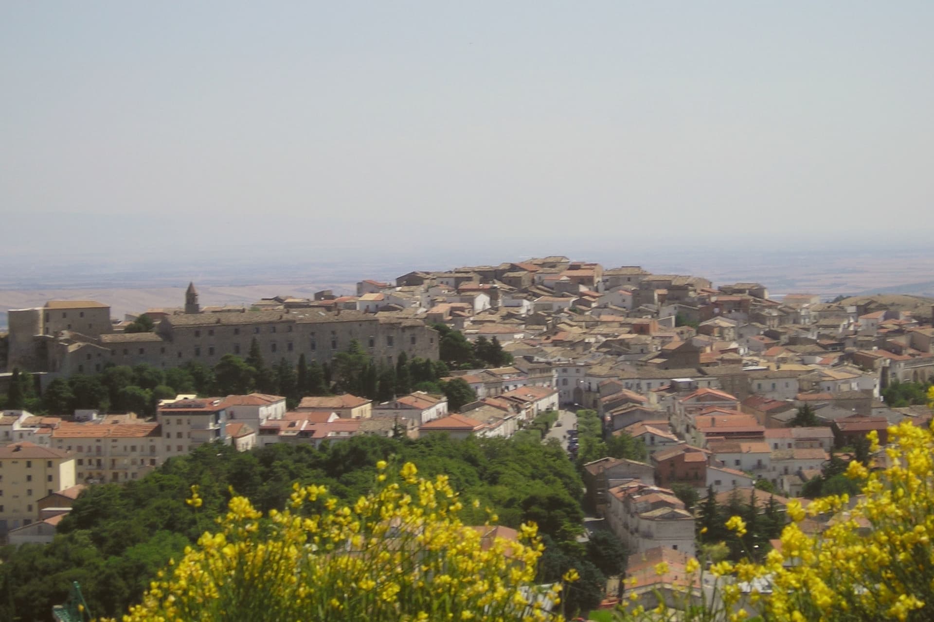 The best towns that eat well in the province of Foggia7 towns, Monte Sant'Angelo among them.
How to get there
From Bari / Brindisi (BRI), about 2h 19m by car.
Naples / Salerno (NAP) is about 3h 40m away.
By car from the centre of Bari 2h 22m, Pescara 2h 42m or Salerno 3h 39m.
Coming by train into Foggia? Monte Sant'Angelo is about 1h 12m away by road.
What to see
Santuario di San Michele Arcangelo
The cave sits at the heart of town, reached by descending stone stairs into rock that has been a shrine since the fifth century. Archangel Michael is said to have appeared here, and the sanctuary that grew around the site remains the town's core.
Castello di Monte Sant'Angelo
Norman-Swabian-Aragonese castle above the sanctuary, expanded over five centuries on the highest point of the town, with views across the Gargano.
Tomba di Rotari
Twelfth-century baptistery near the sanctuary, long misidentified as the tomb of the Lombard king Rotari, a fragment of the older religious complex.
Rione Junno
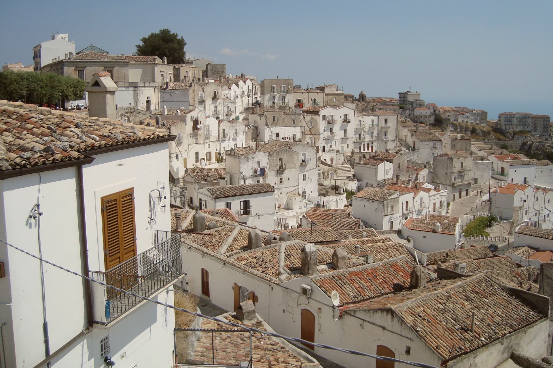
Oldest residential quarter, narrow stepped alleys of small whitewashed houses with single-pitch roofs, the working medieval pilgrim quarter below the sanctuary.
Parco Nazionale del Gargano
National park surrounding the commune, beech and oak forest on the Gargano massif, the Foresta Umbra reserve a short drive northeast.
The slow-trip planner
Building a trip? Find where Monte Sant'Angelo fits in a slow Italy circuit.
Answer five questions. We will shape a geographically coherent slow trip from the 1,000 Italian towns most travelers skip. Yours to save and share.
We recommend
Where to eat
Not our picks, but places the guides put their name to: a Michelin star, a Gambero Rosso fork, a Slow Food snail, a Michelin Key for the hotels. Worth a table, a counter, or a night when you pass through.
Casa li JalantuùmeneRistorante
Casa li Jalantuùmene has two Gambero Rosso forks (81/100) to its name.
Il Rifugio dell'Elda HotelRistorante
Il Rifugio dell'Elda Hotel has one Gambero Rosso fork (78/100) to its name.
Li JalantuùmeneRistorante
Li Jalantuùmene has a spot in the Michelin Guide to its name.
Living here
- Population 11,353
- Remotei
- Pharmacy in town
- High school within a 30-minute drive
- Nearest airport Bari / Brindisi, 2 h 19 min drive
- Regional capital Bari, 2 h 22 min drive
Common questions
- What is Monte Sant'Angelo known for?
- Monte Sant'Angelo is the Gargano peak at 843 meters, the oldest western shrine to an archangel, UNESCO since 2011.
- Where is Monte Sant'Angelo?
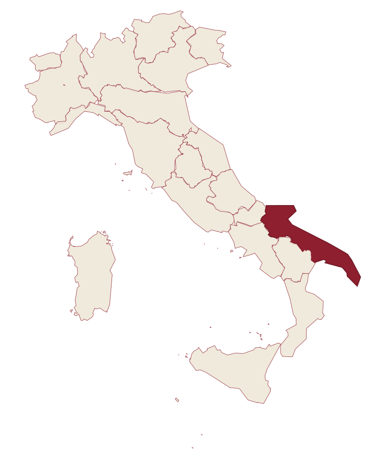
- Monte Sant'Angelo is a comune in the province of Foggia, in Apulia.
- What is the nearest airport to Monte Sant'Angelo?
- Bari / Brindisi (BRI), about 2h 19m by car.
- How long is the drive from Bari to Monte Sant'Angelo?
- About 2h 22m by car.
- When is the best time to visit Monte Sant'Angelo?
- Best in May–Oct. July is the warmest month, averaging 27 degrees, and May the wettest, with about 14 rain days.
- Is there a sagra or a festival in Monte Sant'Angelo?
- The town keeps its patron saint's day: Michele, 29 September.
- Which other towns are like Monte Sant'Angelo?
- Brunico, Ariano Irpino and Randazzo.
- How many people live in Monte Sant'Angelo?
- 11,353 at the 2023 count.
Tags & datadesignations · numbers · sources
The numbers
- Elevation: 843 m
- Population: 11,353
- Surface area: 245.13 km²
These figures were compiled from public directories: ISTAT, OpenStreetMap and Wikidata, and from the official listings of the guides named on this page. Town details change; verify with official sources before you travel.
Similar
Towns like Monte Sant'Angelo
Brunico
Province: Bolzano
both mountain-valley towns · both over 10,000 people
Ariano Irpino
Province: Avellino
both mountain-valley towns · both over 10,000 people
Randazzo
Province: Catania
both mountain-valley towns · both over 10,000 people
Nicosia
Province: Enna
both mountain-valley towns · both over 10,000 people
L'Aquila
Province: L'Aquila
both mountain-valley towns · both over 10,000 people
San Fele
Province: Potenza
both mountain-valley towns · both high up, between 600 and 1,000 metres
🎨 Borghi più belli d'Italia
More Borghi più belli d'Italia towns in Apulia
Bovino
Province: Foggia
A Daunian Mountains hill town at 646 meters above the Cervaro valley, Roman Vibinum, with a Norman-Swabian castle later turned into a Guevara ducal palace.
Cisternino
Province: Brindisi
An Itria valley borgo on the southern Murgia at 394 meters, whitewashed and looking down over drystone walls and trulli.
Gravina in Puglia
Province: Bari
Puglia's deepest gravina: a Bari-province town of 42,700 built on the lip of a 100m-deep limestone canyon, its cliffs threaded with rupestrian cave churches.
Locorotondo
Province: Bari
The round white town on the Itria valley ridge at 410 meters, with cummerse roofs the rest of Puglia does not have.
Maruggio
Province: Taranto
A fortified Borghi più Belli borgo on a low Ionian hill in Taranto province, built around a Knights of Malta commanderie that ran the Order's southern Italian affairs for six centuries.