
Basilicata · Potenza
Latronico
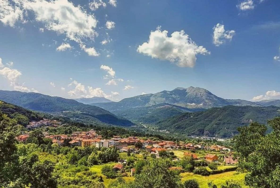
A mountain town at 888 meters on the northern edge of the Pollino, with two prehistoric thermal springs at the Calda hamlet below.
- Best time
- May–Oct
- By car
- 1 h 42 min from Salerno
- Population
- 4,083
Known for
TERME
Two twenty-two-degree mineral springs at Calda, used since prehistory and developed into a spa in the early twentieth century, draws year-round.
POLLINO
Northern gate to Italy's largest national park, with trails climbing Monte Alpi at 1,892 meters and Bosnian pine forests on the upper slopes.
COMUNI VIRTUOSI
Member of the national network of sustainable governance, recognized for its waste, energy and territorial policies in an inland mountain context.
CANESTRATO DI MOLITERNO
The commune lies inside the Canestrato di Moliterno IGP production zone.
When to visit
Best · May–Oct
- J8°
- F10°
- M11°
- A14°
- M19°
- J25°
- J29°
- A28°
- S23°
- O19°
- N13°
- D10°
- Best
- Hot or crowded
- Quiet
- Mostly closed
Daytime averages, 2020–2024. Weather data by Open-Meteo.com.
The festa: Egidio, 1 September
Why come
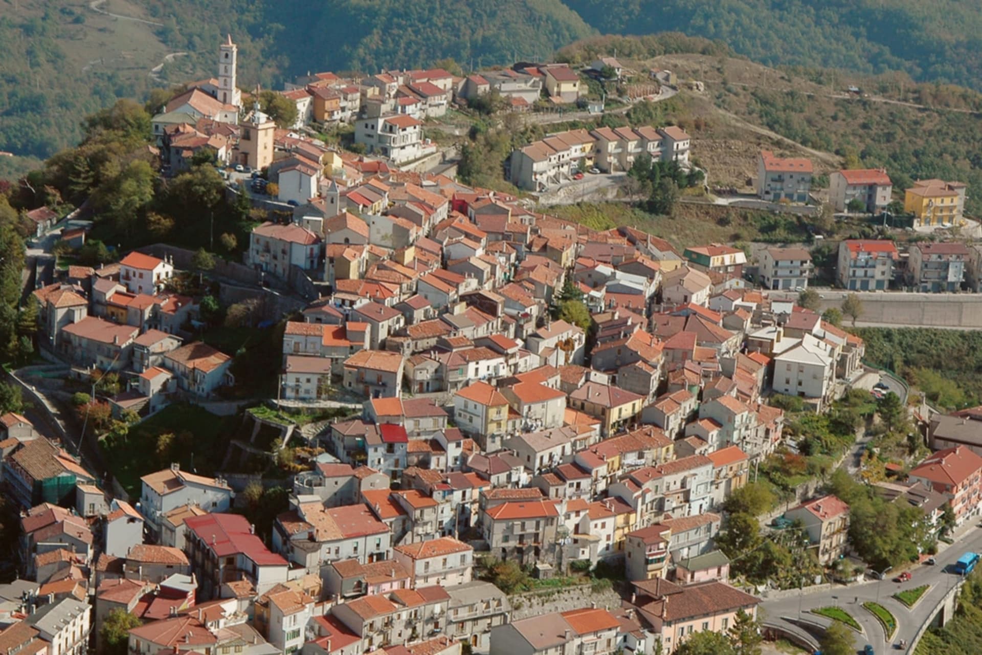
Latronico sits ninety kilometers north of Cosenza, on the northern flank of the park, at an elevation that keeps the town cool in August when the coasts on both seas push past forty. The historic center holds the ridge above the valley, its lanes and stone houses built for that upper ground. The spa hamlet lies two kilometers below by road, its name meaning hot, a separate settlement tied to the town by that single road and by the water itself.
The comune carries three institutional signals at once: national park, thermal town, and a place recognized for how it manages waste, energy and territory inland. The mountain above, the springs below and the governance in between describe a town that has built its identity on what the ground under it provides, water at a constant temperature and slopes that hold pine forest instead of farmland.
The Sunday letter
Latronico is on our list. Its letter is still to come.
We are writing about all 1,000 of these towns, one at a time, in a free letter every Sunday: the photo, the food, the festa. That is our mission. Sign up and you will be there when Latronico comes up. By Peter & Sophia, from Pietrasanta.
Read on
Latronico in our articles
 The best mountain towns that eat well in the province of Potenza6 towns, Latronico among them.
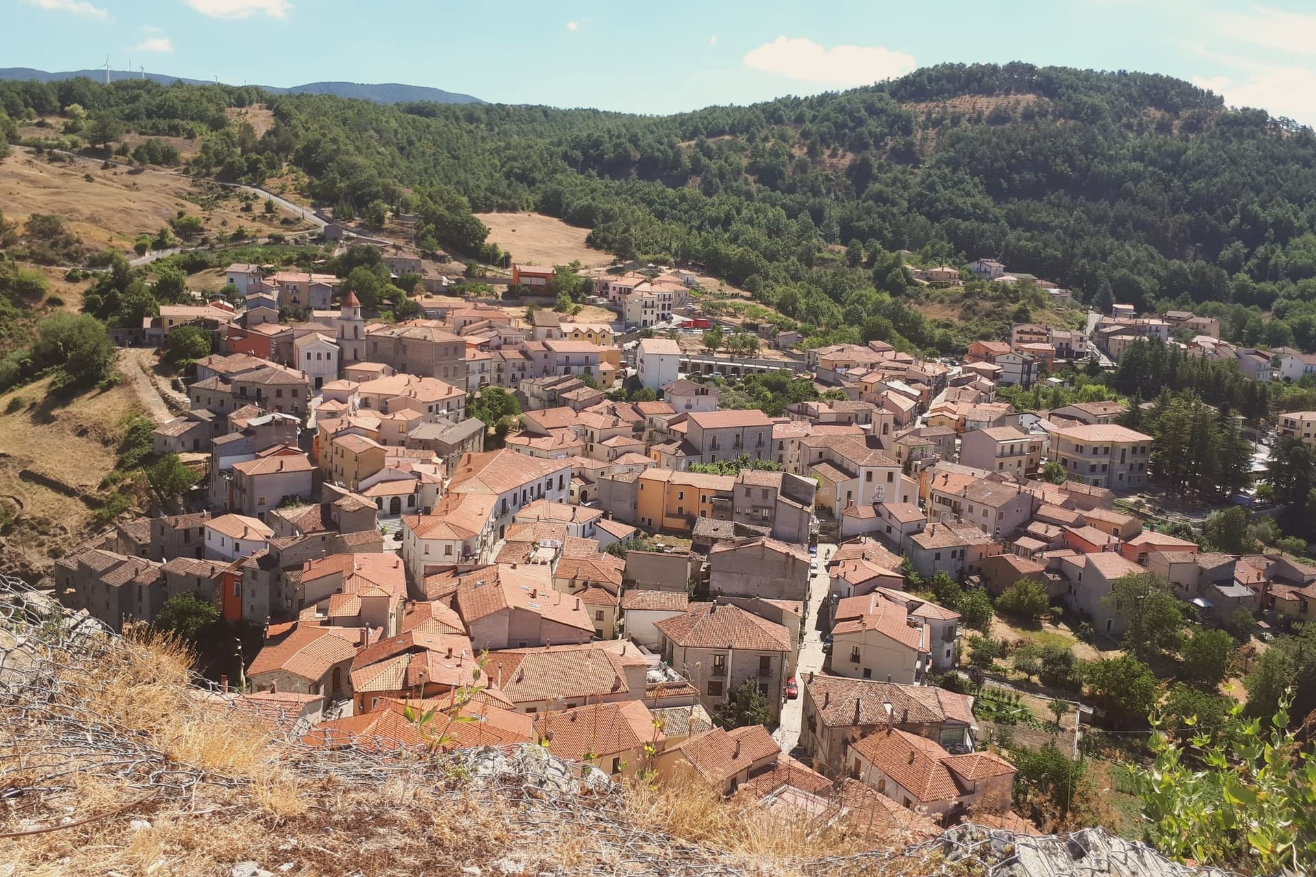 The best high-altitude villages in the province of Potenza7 towns, Latronico among them.
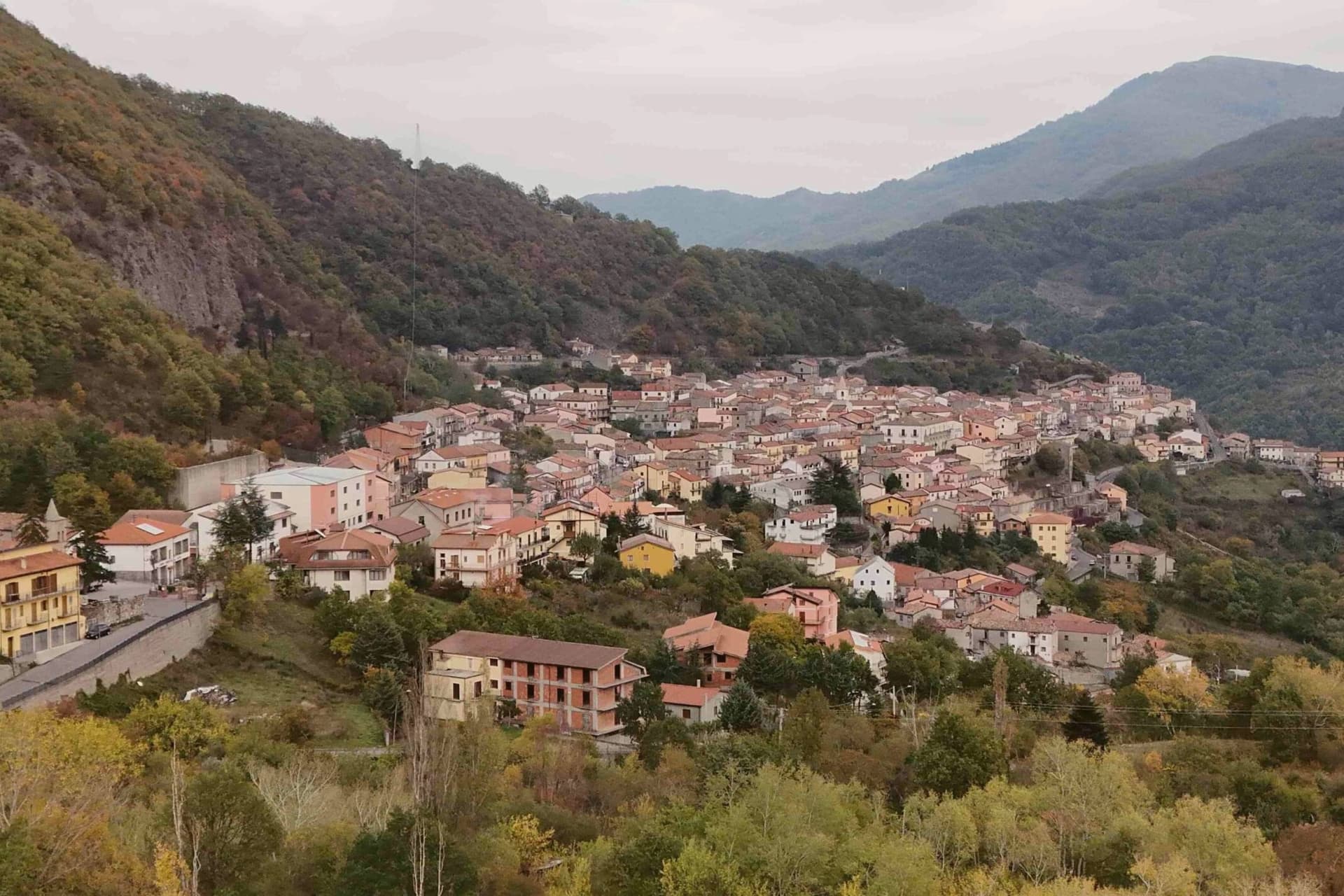 The 8 best towns inside a national park in the province of Potenza8 towns, Latronico among them.
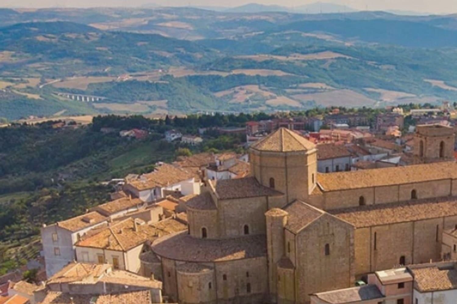 The best towns that eat well in the province of Potenza9 towns, Latronico among them.
How to get there
From Naples / Salerno (NAP), about 2h 26m by car.
Lamezia / Reggio (SUF) is about 2h 41m away.
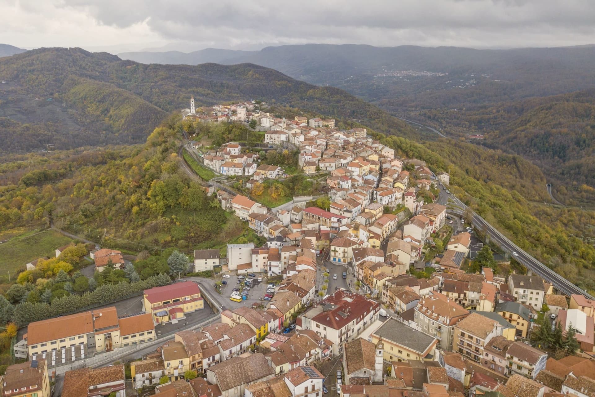
By car from the centre of Salerno 1h 42m, Naples 2h 26m or Bari 3 hours.
What to see
Terme Lucane
The Grande Sorgente runs bicarbonate-calcic, the Piccola Sorgente bicarbonate-calcic-sulfurous and slightly radioactive. Archaeological finds around the site attest to prehistoric use of the waters.
Parco Nazionale del Pollino
Rings the southern half of the comune, old-growth Bosnian pine on the upper slopes and the karst mass of Monte Alpi rising over the trails.
Monte Alpi
Karst peak at 1,892 meters above the town, reached by trails from the village, a single high massif standing apart from the main Pollino chain.
Centro storico
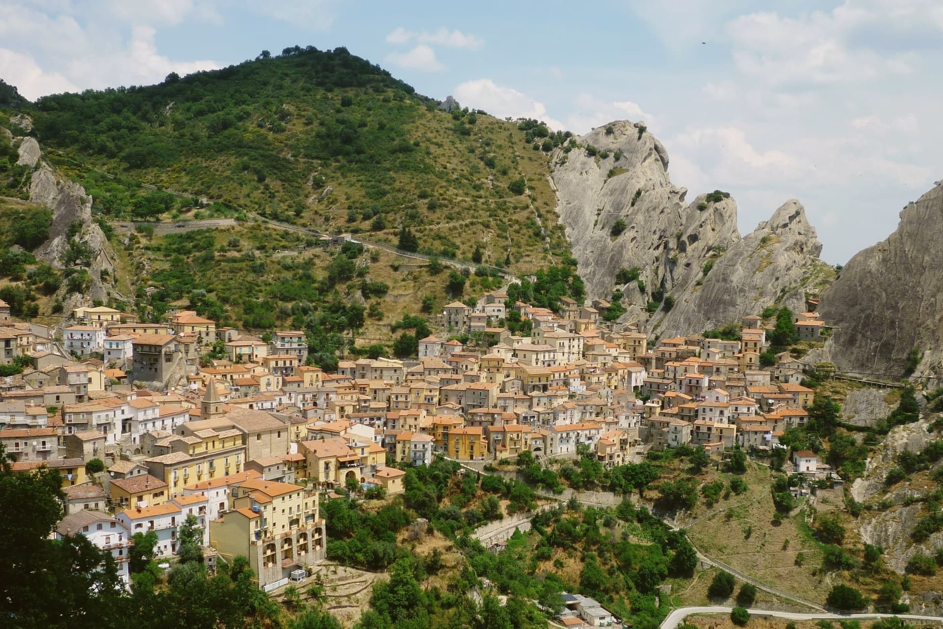
Mountain borgo on the ridge above the spa, narrow lanes, the Chiesa Madre di Sant'Egidio Abate and stone houses typical of the upper Sinni valley.
The slow-trip planner
Building a trip? Find where Latronico fits in a slow Italy circuit.
Answer five questions. We will shape a geographically coherent slow trip from the 1,000 Italian towns most travelers skip. Yours to save and share.
We recommend
Where to eat
Not our picks, but places the guides put their name to: a Michelin star, a Gambero Rosso fork, a Slow Food snail, a Michelin Key for the hotels. Worth a table, a counter, or a night when you pass through.
Nonna VeraRistorante
Nonna Vera carries a Slow Food snail.
Living here
- Population 4,083
- Very remotei
- Pharmacy in town
- High school within a 30-minute drive
- Nearest airport Naples / Salerno, 2 h 26 min drive
- Regional capital Potenza, 1 h 38 min drive
This is a thermal town: terme operate here.
Common questions
- What is Latronico known for?
- Latronico is a mountain town at 888 meters on the northern edge of the Pollino, with two prehistoric thermal springs at the Calda hamlet below.
- Where is Latronico?
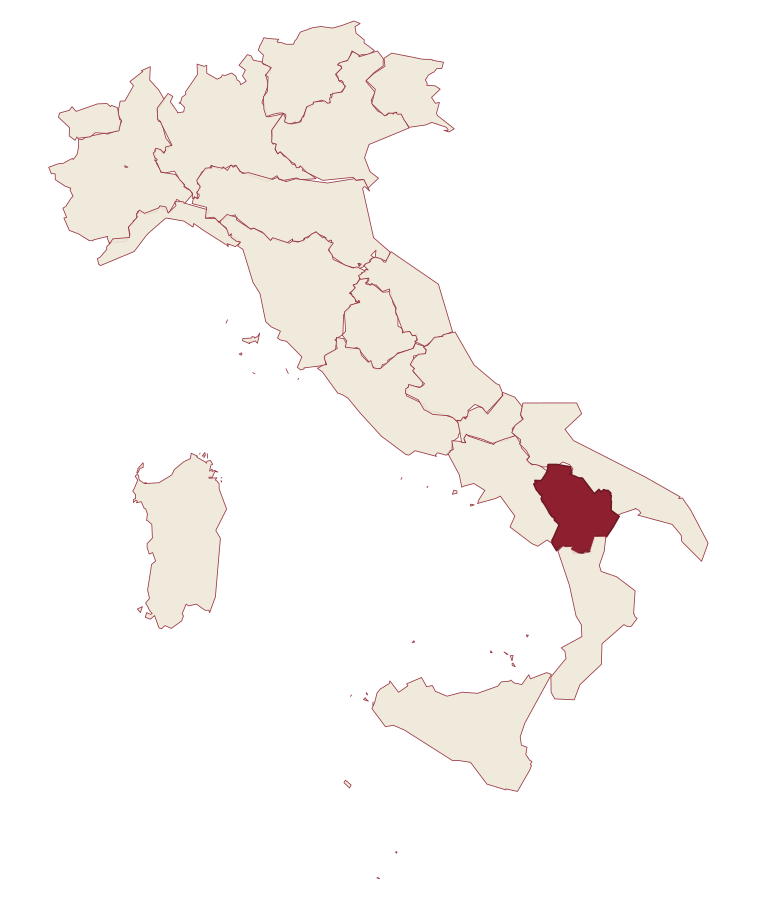
- Latronico is a comune in the province of Potenza, in Basilicata.
- What is the nearest airport to Latronico?
- Naples / Salerno (NAP), about 2h 26m by car.
- How long is the drive from Salerno to Latronico?
- About 1h 42m by car.
- When is the best time to visit Latronico?
- Best in May–Oct. July is the warmest month, averaging 29 degrees, and May the wettest, with about 15 rain days.
- Is there a sagra or a festival in Latronico?
- The town keeps its patron saint's day: Egidio, 1 September.
- Which other towns are like Latronico?
- Castel di Sangro, Bagolino and Orgosolo.
- How many people live in Latronico?
- 4,083 at the 2023 count.
Tags & datadesignations · numbers · sources
Recognised as
The numbers
- Elevation: 888 m
- Population: 4,083
- Surface area: 76.66 km²
These figures were compiled from public directories: ISTAT, OpenStreetMap and Wikidata, and from the official listings of the guides named on this page. Town details change; verify with official sources before you travel.
Similar
Towns like Latronico
Castel di Sangro
Province: L'Aquila
both mountain-valley towns · both between 3,000 and 10,000 people
Bagolino
Province: Brescia
both mountain-valley towns · both between 3,000 and 10,000 people
Orgosolo
Province: Nuoro
both mountain-valley towns · both between 3,000 and 10,000 people
Viggiano
Province: Potenza
both mountain-valley towns · both between 3,000 and 10,000 people
Lagonegro
Province: Potenza
both mountain-valley towns · both between 3,000 and 10,000 people
Nusco
Province: Avellino
both mountain-valley towns · both between 3,000 and 10,000 people
🌲 Parco Nazionale
More Parco Nazionale towns in Basilicata
Calvello
Province: Potenza
A 730-meter ceramic town working clay since 1200, when Benedictines from Faenza brought the wheel south.
Lagonegro
Province: Potenza
A 666-meter town founded by Byzantine monks on a defensive promontory, split between a medieval castle village and a modern square below.
Rivello
Province: Potenza
A 479-meter ridge above the Noce valley where Lombards and Byzantines lived side by side, holding Latin and Greek rites until the seventeenth century.
Rotonda
Province: Potenza
The Pollino park's Lucanian gateway: a 3,171-resident borgo at 626m on the Basilicata/Calabria border, headquarters for the Parco Nazionale del Pollino, Italy's largest national park, with the Loricato pine forests immediately above town.
Sasso di Castalda
Province: Potenza
A 949-meter village in the Lucanian Apennines whose emigrants produced the engineer who launched Apollo 11, now crossed by a 300-meter Tibetan footbridge.