
Apulia · Foggia
Mattinata
The only Apulian town that faces south on the Adriatic, the white amphitheater of the eastern Gargano beneath Monte Sacro.
- Best time
- May–Sep
- By car
- 2 h 22 min from Bari
- Population
- 5,976
Known for
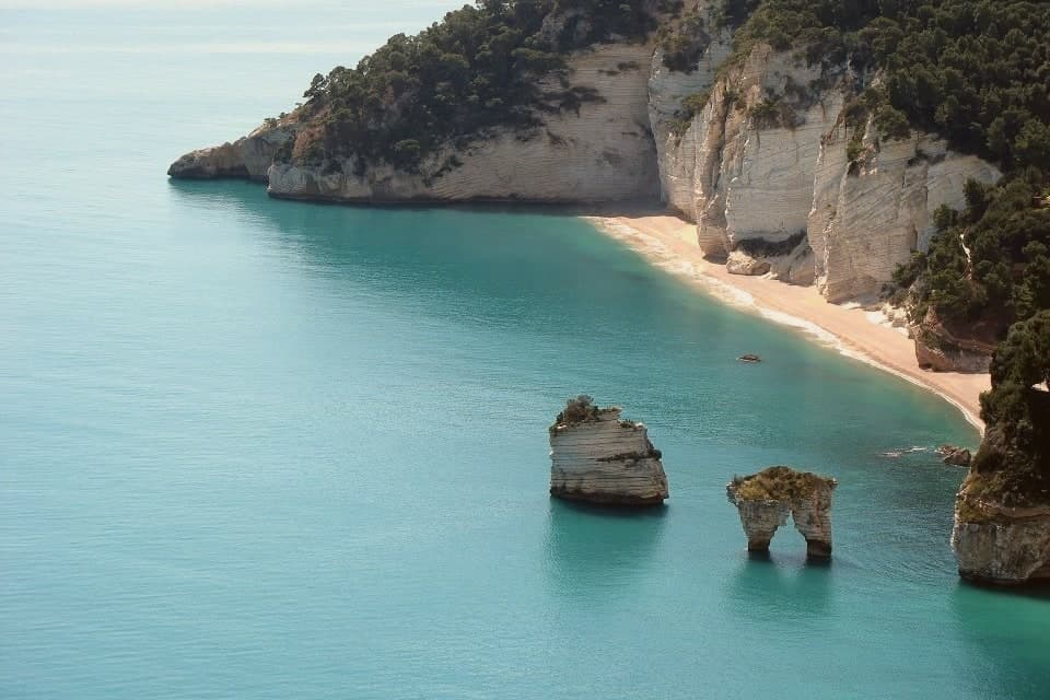
ZAGARE FARAGLIONI
Twin limestone sea stacks Arco di Diomede and Le Forbici, the icon of the eastern Gargano coast, named for the orange blossom of the bay.
MONTE SACRO ABBEY
Benedictine ruins at 850 meters on the highest plateau of the eastern Gargano, founded around 1000, abandoned in the fifteenth century.
GARGANO NATIONAL PARK
Protected area covering the Gargano peninsula, the limestone headland that juts east into the Adriatic from the Foggia plain.
When to visit
Best · May–Sep
- J12°
- F14°
- M15°
- A18°
- M23°
- J28°
- J32°
- A31°
- S26°
- O22°
- N17°
- D14°
- Best
- Hot or crowded
- Quiet
- Mostly closed
Daytime averages, 2020–2024. The sea is warmest in July at 30° and coldest in February at 12°. Weather data by Open-Meteo.com.
Why come
Mattinata sits at seventy-five meters on the eastern Gargano. The Iapyges, immigrants from Greece and the Balkans, settled the surrounding hills from the fifth century BC; the Roman port of Matinum, on the modern seafront, gave the town its name. The current settlement is younger than most Garganic centers: it was administered as part of Monte Sant'Angelo until 1955, when it became an independent comune.
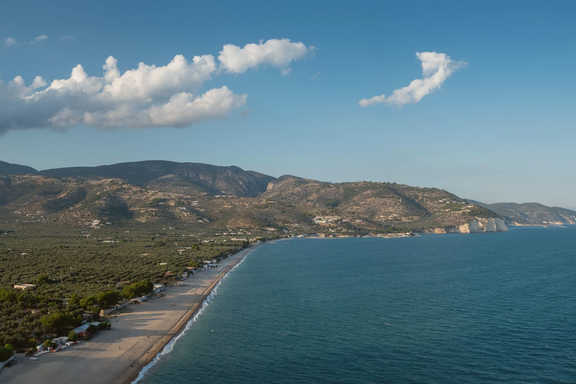
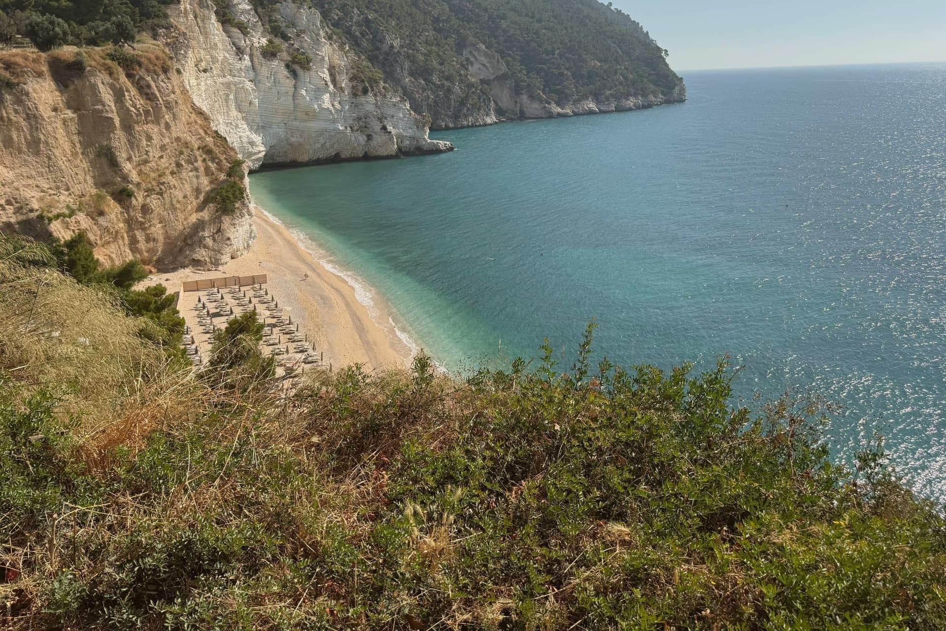
The town proper sits below the mountain that watches over it, the two bound by the same limestone that runs from the abbey ruins down to the coast. South of town the shoreline drops toward the sea stacks and, ten kilometers further on, the pebble crescent and cliffs of Baia di Vignanotica. The national park covers all of it, mountain, coast and town alike. A settlement younger than its neighbors, built on ground far older: the Roman port beneath the seafront, the settled hills behind it, the abbey above it, all folded into a comune that has only carried its own name since the middle of the last century.
The Sunday letter
Mattinata is on our list. Its letter is still to come.
We are writing about all 1,000 of these towns, one at a time, in a free letter every Sunday: the photo, the food, the festa. That is our mission. Sign up and you will be there when Mattinata comes up. By Peter & Sophia, from Pietrasanta.
Read on
Mattinata in our articles
 The best hidden coastal towns that eat well in Puglia6 towns, Mattinata among them.
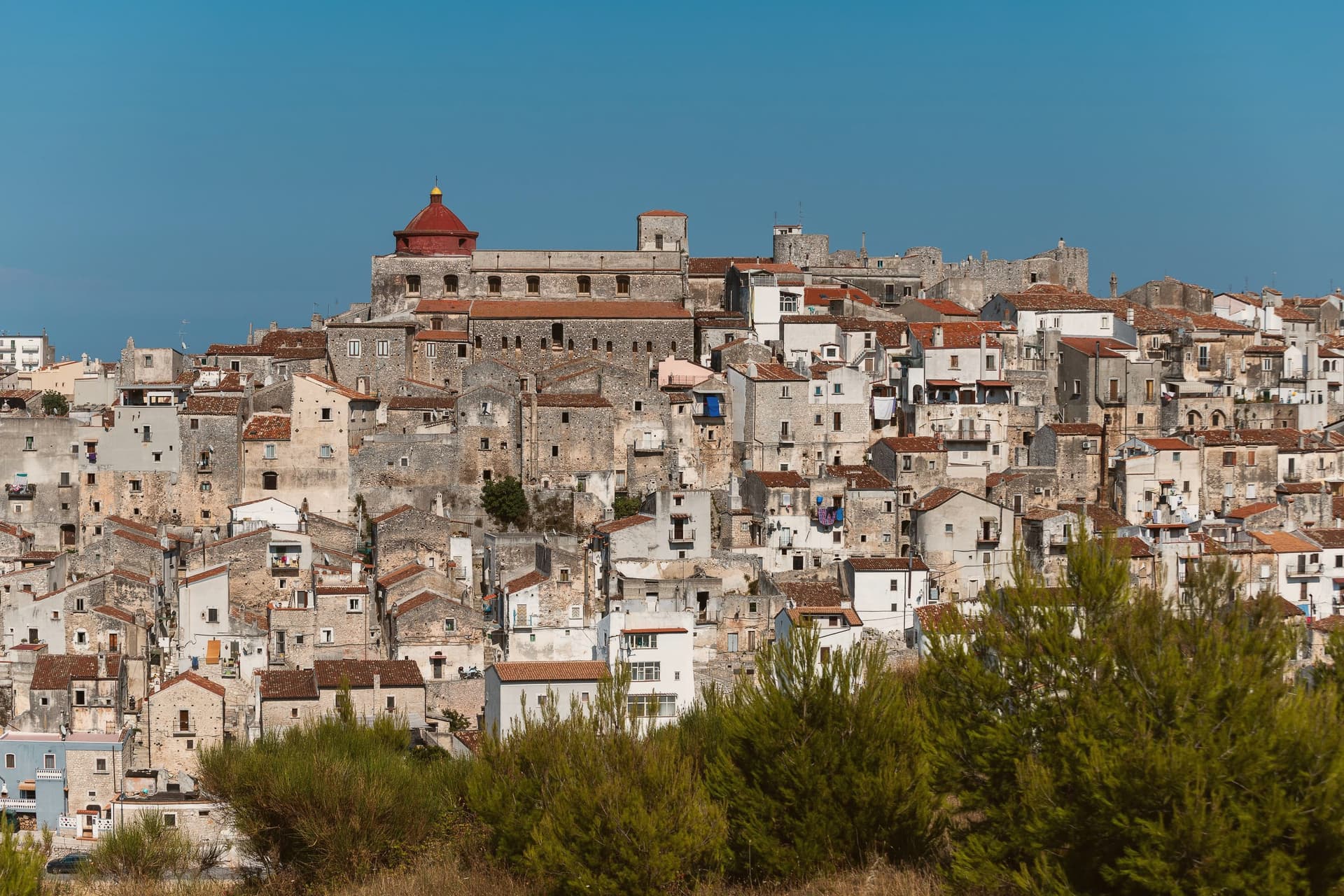 The best hidden olive oil towns that eat well in Puglia6 towns, Mattinata among them.
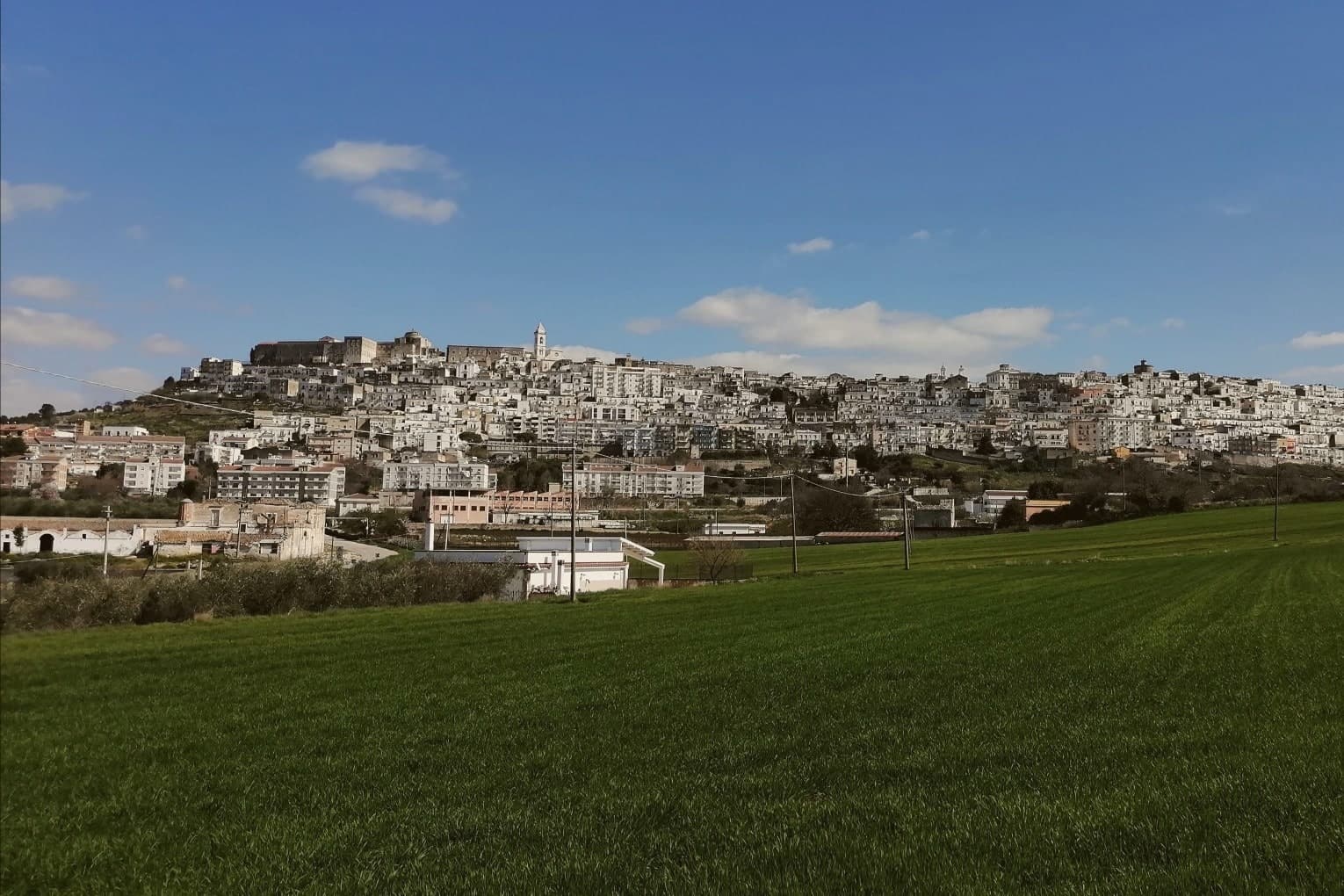 The 7 best towns inside a national park that eat well in Puglia7 towns, Mattinata among them.
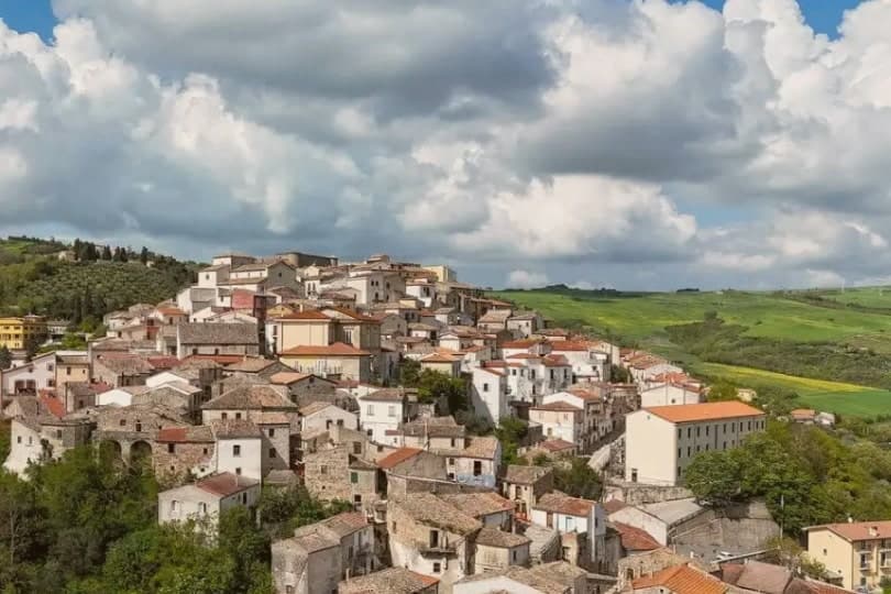 The best hidden olive oil towns within 90 minutes of Foggia7 towns, Mattinata among them.
How to get there
From Bari / Brindisi (BRI), about 2h 18m by car.
Naples / Salerno (NAP) is about 3h 39m away.
By car from the centre of Bari 2h 22m, Pescara 3 hours or Salerno 3h 39m.
Coming by train into Foggia? Mattinata is about 1h 12m away by road.
What to see
Baia delle Zagare
Bay south of town with two iconic limestone sea stacks, the arch-shaped Arco di Diomede and the scissor-shaped Le Forbici.
Baia di Vignanotica
Pebble crescent under tall limestone cliffs, reached on foot from the Sentiero dell'Amore from Baia dei Mergoli.
Monte Sacro and Abbazia della Santissima Trinità
Ruined abbey standing where Benedictine monks raised it to abbey status in 1138, after annexation to the abbey of Siponto brought its abandonment.
Parco Nazionale del Gargano
National park covering the eastern Gargano headland, with limestone karst, beech forest above 800 meters and protected orchid populations.
Centro storico
White-amphitheater old town opening south to the Adriatic, only independent from Monte Sant'Angelo since 1955.
The slow-trip planner
Building a trip? Find where Mattinata fits in a slow Italy circuit.
Answer five questions. We will shape a geographically coherent slow trip from the 1,000 Italian towns most travelers skip. Yours to save and share.
We recommend
Where to eat
Not our picks, but places the guides put their name to: a Michelin star, a Gambero Rosso fork, a Slow Food snail, a Michelin Key for the hotels. Worth a table, a counter, or a night when you pass through.
La Locanda del ManiscalcoRistorante
La Locanda del Maniscalco carries a Slow Food snail.
Living here
- Population 5,976
- Remotei
- Pharmacy in town
- Nearest high school over ~30 minutes away
- Nearest airport Bari / Brindisi, 2 h 18 min drive
- Regional capital Bari, 2 h 22 min drive
Common questions
- What is Mattinata known for?
- Mattinata is the only Apulian town that faces south on the Adriatic, the white amphitheater of the eastern Gargano beneath Monte Sacro.
- Where is Mattinata?
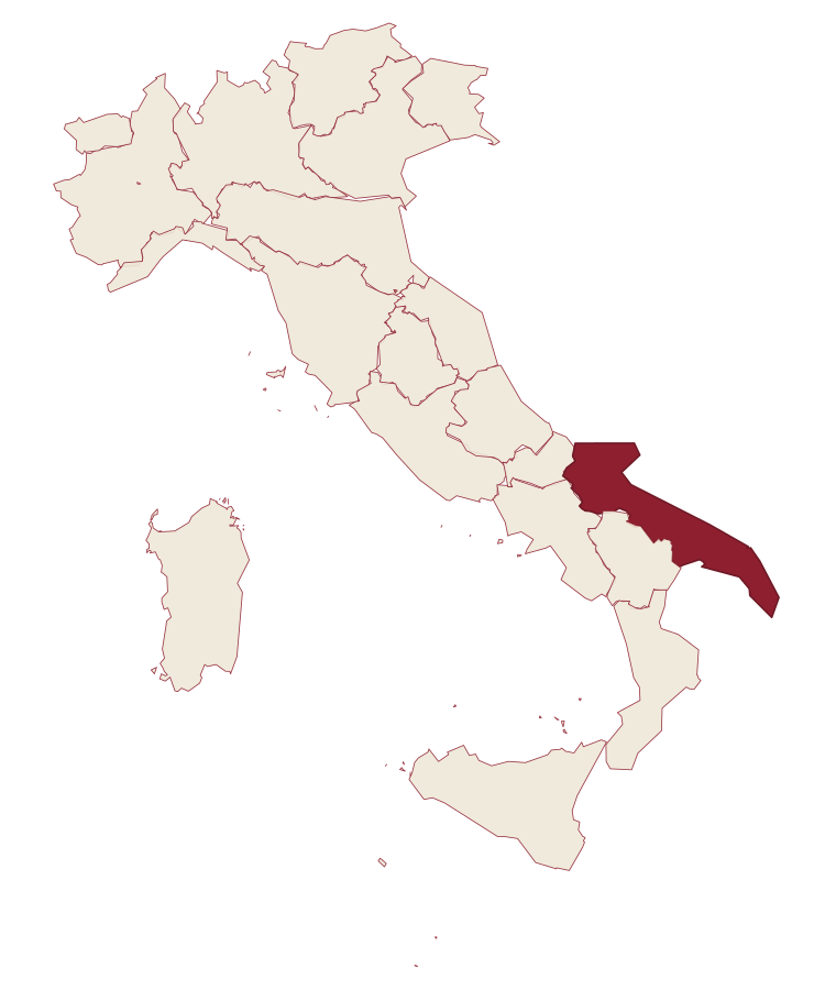
- Mattinata is a comune in the province of Foggia, in Apulia, at 75 meters above sea level.
- What is the nearest airport to Mattinata?
- Bari / Brindisi (BRI), about 2h 18m by car.
- How long is the drive from Bari to Mattinata?
- About 2h 22m by car.
- When is the best time to visit Mattinata?
- Best in May–Sep. July is the warmest month, averaging 32 degrees, and November the wettest, with about 12 rain days.
- Which other towns are like Mattinata?
- Rosolina, Otranto and Vernole.
- How many people live in Mattinata?
- 5,976 at the 2023 count.
Tags & datadesignations · numbers · sources
Recognised as
The numbers
- Elevation: 75 m
- Population: 5,976
- Surface area: 73.48 km²
These figures were compiled from public directories: ISTAT, OpenStreetMap and Wikidata, and from the official listings of the guides named on this page. Town details change; verify with official sources before you travel.
Similar
Towns like Mattinata
Rosolina
Province: Rovigo
both on the Adriatic coast · both between 3,000 and 10,000 people
Otranto
Province: Lecce
both on the Adriatic coast · both between 3,000 and 10,000 people
Vernole
Province: Lecce
both on the Adriatic coast · both between 3,000 and 10,000 people
Peschici
Province: Foggia
both on the Adriatic coast · both between 3,000 and 10,000 people
Campi Salentina
Province: Lecce
both on the Adriatic coast · both between 3,000 and 10,000 people
Fossacesia
Province: Chieti
both on the Adriatic coast · both between 3,000 and 10,000 people
🌲 Parco Nazionale
More Parco Nazionale towns in Apulia
Andria
Province: Barletta-Andria-Trani
Frederick II's favourite Apulian city, the birthplace of burrata, ruling the Murge plateau eighteen kilometers north of its most famous castle.
Cassano delle Murge
Province: Bari
A Murge foothills town at 341 meters at the gate of the Alta Murgia park, with the 1,300-hectare Foresta Mercadante mostly inside its territory.
Gravina in Puglia
Province: Bari
Puglia's deepest gravina: a Bari-province town of 42,700 built on the lip of a 100m-deep limestone canyon, its cliffs threaded with rupestrian cave churches.
Isole Tremiti
Province: Foggia
An Adriatic archipelago of five islands twenty-two kilometers off the Gargano, the only Italian commune scattered across an open-sea group.
Minervino Murge
Province: Barletta-Andria-Trani
A ridge town at 445 meters where the Murgia plateau breaks off into open view, inside the national park that carries its name.