
Abruzzo · L'Aquila
Roccacasale
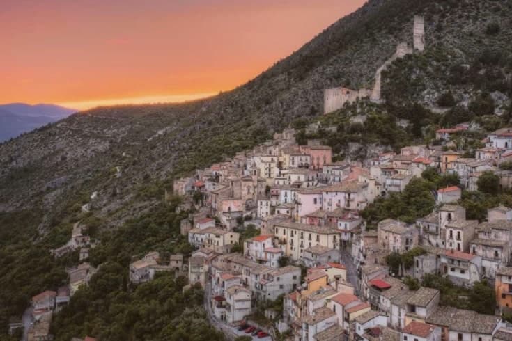
A village of 597 under the ruins of a castle blown up by Napoleon's army in 1803.
- Best time
- Apr–Oct
- By car
- 52 min from Pescara
- By train
- Station in the comune
- Population
- 597
Known for
CASTELLO DE SANCTIS
Medieval rocca held by the Cantelmo and then the De Sanctis barons, destroyed by Napoleonic French troops in 1803.
MONTE MORRONE
Long limestone ridge above the village, where Celestino V lived as a hermit before being elected pope in 1294.
MAIELLA PARK
Inside the Parco Nazionale della Majella, on the western slope of the Morrone overlooking the Peligna valley and Sulmona.
When to visit
Best · Apr–Oct
- J10°
- F13°
- M13°
- A16°
- M22°
- J27°
- J31°
- A30°
- S25°
- O21°
- N15°
- D12°
- Best
- Hot or crowded
- Quiet
- Mostly closed
Daytime averages, 2020–2024. Weather data by Open-Meteo.com.
The festa: Michele, 8 May
Why come
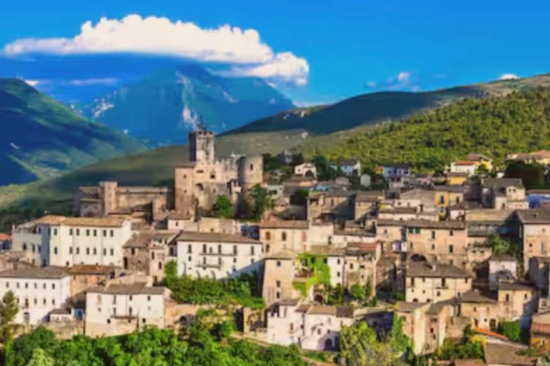
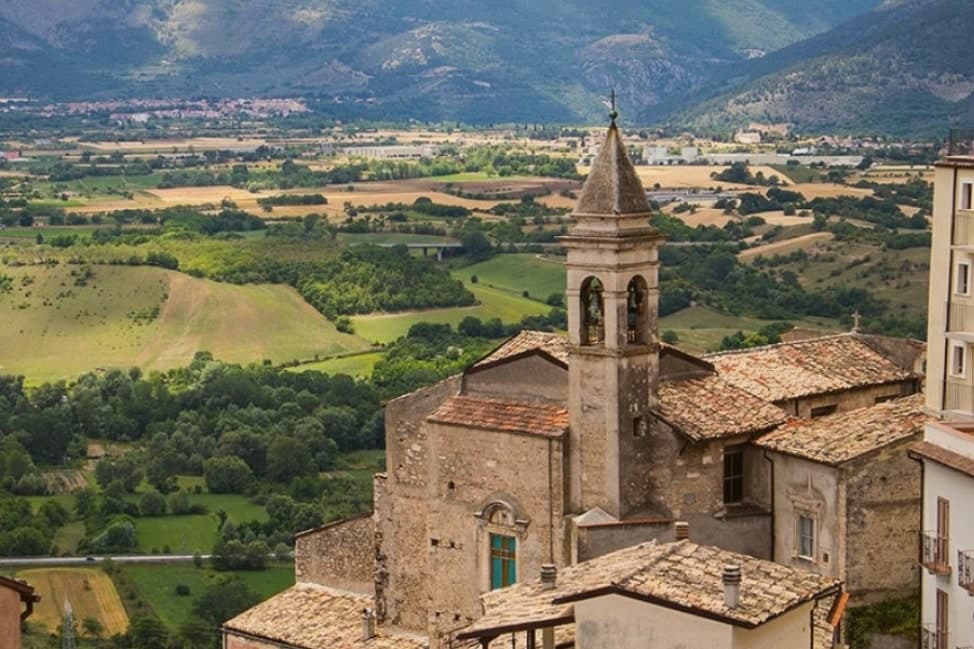
Roccacasale sits, overlooking the Peligna valley and the town of Sulmona below. The settlement coalesced as a defensive borgo on the slopes directly under a rocca built before the year 1000 to guard the entrance to the Sangro valley and the Cinquemiglia plain against Saracen and Byzantine raids. In 1318 part of the territory passed to Giacomo Cantelmo.
The Cantelmo family held the castle through the Renaissance, then in the late sixteenth century it passed to the barons whose name it still carries. In 1803, in the wake of the Napoleonic wars, the French army destroyed it. The terraced houses of the borgo and the hilltop ruin above them still trace that original relationship, defended village below, stronghold above, unchanged in plan since the medieval period.
The commune lies inside the Maiella National Park, its territory reaching from the valley floor up the ridge toward hermitage sites once occupied by a hermit pope. What remains is a settlement whose whole layout, from the walled church to the terraces to the shattered walls on the hill, still reads as a single defensive idea built to watch two valleys at once.
The Sunday letter
Roccacasale is on our list. Its letter is still to come.
We are writing about all 1,000 of these towns, one at a time, in a free letter every Sunday: the photo, the food, the festa. That is our mission. Sign up and you will be there when Roccacasale comes up. By Peter & Sophia, from Pietrasanta.
Read on
Roccacasale in our articles
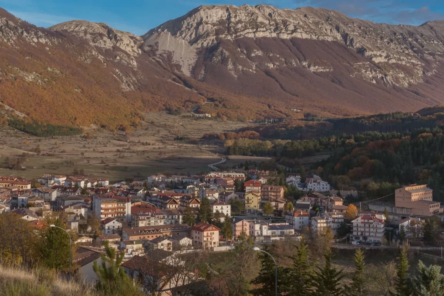
 The best small hill towns you can reach by train in Abruzzo6 towns, Roccacasale among them.
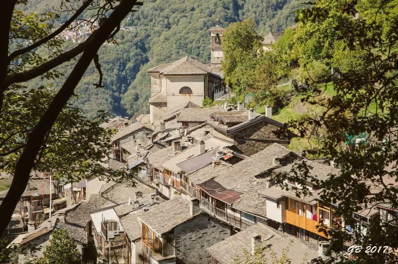
 The best hill towns in the province of L'Aquila8 towns, Roccacasale among them.
 The best towns you can reach by train that sit inside a national park in Abruzzo8 towns, Roccacasale among them.
 10 comuni with a station and under 3,000 people10 towns, Roccacasale among them.
How to get there
From Rome (FCO), about 2h 25m by car.
Ancona / Pescara (AOI) is about 2h 27m away.
By car from the centre of Pescara 52 minutes or Ancona 2h 22m.
There is a railway station in the comune, so you can arrive without a car.
Coming from Rome?
Coming by train into Pescara Centrale? Roccacasale is about 54 minutes away by road.
What to see
Castello De Sanctis
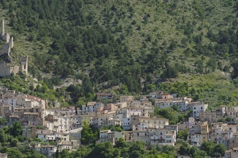
Ruins standing directly above the borgo, reachable by the path climbing from the terraced houses to the hilltop where the walls still crown the slope.
Chiesa di Sant'Michele Arcangelo
Parish church inside the ancient walls, consecrated 1579, with a baroque interior restored in the nineteenth century.
Borgo medievale
Stone houses arranged on terraces directly below the ruined castle, original medieval plan preserved.
Monte Morrone
Ridge reaching 2,061 meters at its highest, hermitage country of Pope Celestino V before his 1294 election.
Parco Nazionale della Majella
Roccacasale sits inside the park, with trails climbing east up the ridge toward the hermitages of Sant'Onofrio and San Pietro Celestino.
The slow-trip planner
Building a trip? Find where Roccacasale fits in a slow Italy circuit.
Answer five questions. We will shape a geographically coherent slow trip from the 1,000 Italian towns most travelers skip. Yours to save and share.
Living here
- Population 597
- In-betweeni
- Pharmacy in town
- High school within a 30-minute drive
- Train station in the comune
- Nearest airport Rome, 2 h 25 min drive
- Regional capital L'Aquila, 1 h 9 min drive
Common questions
- What is Roccacasale known for?
- Roccacasale is a village of 597 under the ruins of a castle blown up by Napoleon's army in 1803.
- Where is Roccacasale?
- Roccacasale is a comune in the province of L'Aquila, in Abruzzo, at 450 meters above sea level.
- What is the nearest airport to Roccacasale?
- Rome (FCO), about 2h 25m by car.
- Can you get to Roccacasale without a car?
- Yes. There is a railway station in the comune, so you can arrive by train.
- How long is the drive from Pescara to Roccacasale?
- About 52 minutes by car.
- When is the best time to visit Roccacasale?
- Best in Apr–Oct. July is the warmest month, averaging 31 degrees, and May the wettest, with about 13 rain days.
- Is there a sagra or a festival in Roccacasale?
- The town keeps its patron saint's day: Michele, 8 May.
- Which other towns are like Roccacasale?
- Corfinio, Capestrano and Roccamorice.
- How many people live in Roccacasale?
- 597 at the 2023 count.
Tags & datadesignations · numbers · sources
Recognised as
The numbers
- Elevation: 450 m
- Population: 597
- Surface area: 17.31 km²
These figures were compiled from public directories: ISTAT, OpenStreetMap and Wikidata, and from the official listings of the guides named on this page. Town details change; verify with official sources before you travel.
Similar
Towns like Roccacasale
Corfinio
Province: L'Aquila
both inland, away from the coast · both under 1,000 people
Capestrano
Province: L'Aquila
both inland, away from the coast · both under 1,000 people
Roccamorice
Province: Pescara
both inland, away from the coast · both under 1,000 people
Tufo
Province: Avellino
both inland, away from the coast · both under 1,000 people
Portico e San Benedetto
Province: Forlì-Cesena
both inland, away from the coast · both under 1,000 people
Guardialfiera
Province: Campobasso
both inland, away from the coast · both under 1,000 people
💎 Borghi Autentici
More Borghi Autentici towns in Abruzzo
Archi
Province: Chieti
A 492-meter rocky spur called the Terrazza sul Sangro, fief of del Balzo, Cantelmo, Colonna and Carafa, now Città del Tartufo and Città dell'Olio.
Balsorano
Province: L'Aquila
A pentagonal fortress above the Liri river that became a backdrop for 1970s Italian horror cinema.
Barrea
Province: L'Aquila
A 1,066-meter spur above an artificial lake at the heart of the Abruzzo National Park, with a Samnite necropolis and an 11th-century di Sangro castle.
Calascio
Province: L'Aquila
A village of 125 people under the highest castle in the Apennines, cast as the monk's refuge in Ladyhawke.
Campo di Giove
Province: L'Aquila
At 1,064 meters under the southwestern Maiella, the highest village in the park, named for a Roman temple to Jupiter.