
Aosta Valley · Aosta Valley
Cogne
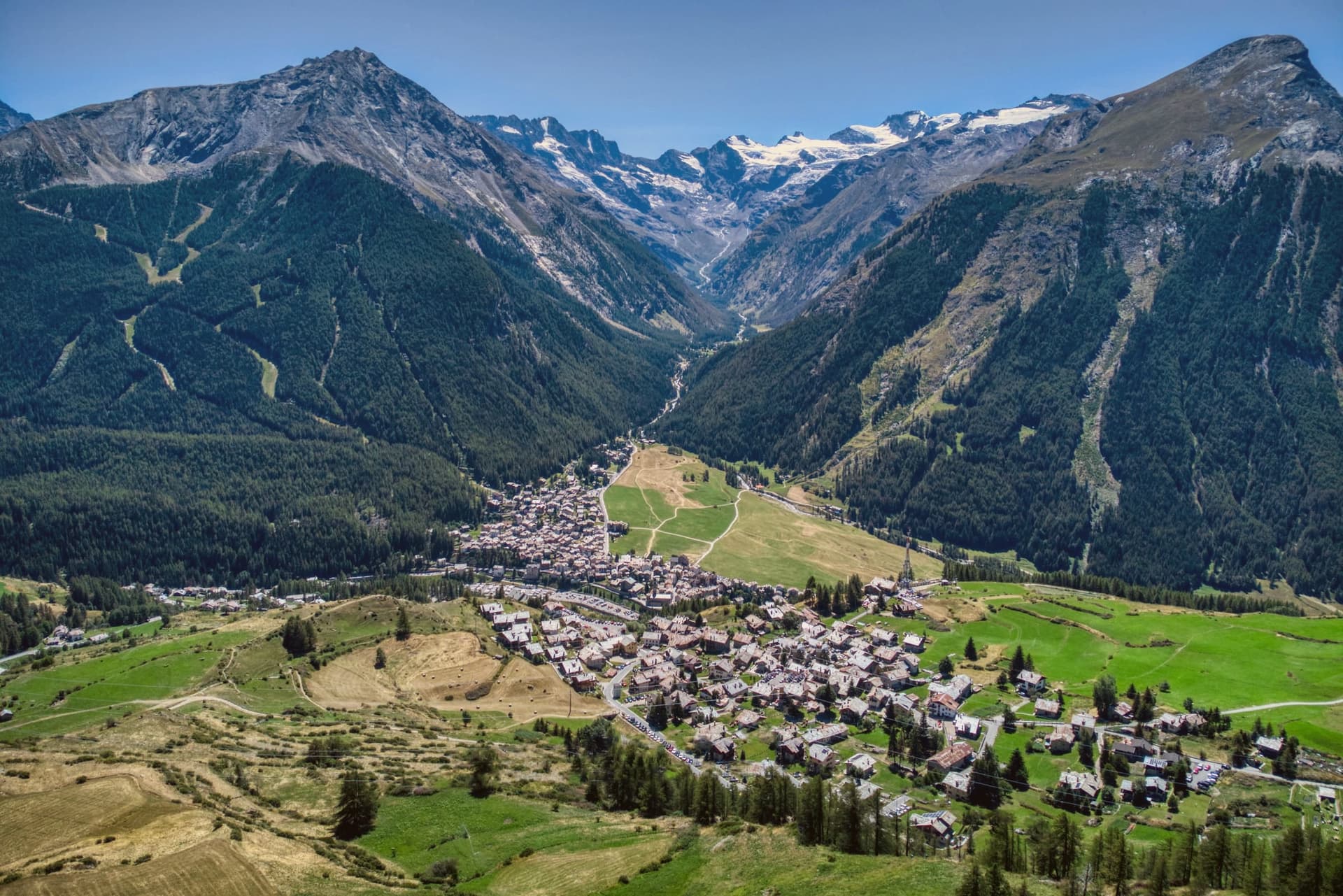
The mining town turned capital of the Gran Paradiso, the Aosta Valley's largest commune with 95 percent of its land inside Italy's oldest park.
- Best time
- Jun–Sep, Dec–Mar
- By car
- 2 h from Turin
- Population
- 1,320
Known for
GRAN PARADISO
Southern capital of Italy's oldest national park, established 1922, with 95 percent of the commune inside park boundaries.
NORDIC SKIING
Forty kilometers of cross-country tracks on the Prato di Sant'Orso, a long-running stop on the international Nordic circuit.
THE IRON MINES
Magnetite extracted at the Colonna mine above the village until 1979, when closure ended the industrial chapter and the ski economy took over.
When to visit
Best · Jun–Sep, Dec–Mar
- J1°
- F4°
- M4°
- A7°
- M12°
- J18°
- J22°
- A22°
- S17°
- O12°
- N6°
- D2°
- Best
- Hot or crowded
- Quiet
- Mostly closed
Daytime averages, 2020–2024. Weather data by Open-Meteo.com.
Why come
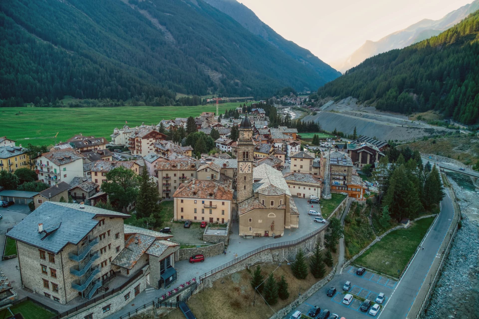
Cogne sits at 1,534 meters on the Grand Eyvia torrent, the largest commune in the Aosta Valley by surface area and the southern gateway to the Gran Paradiso National Park. More than 95 percent of its territory falls inside the park, established in 1922 as Italy's first. Until 1979 this was an iron-mining town: magnetite was extracted from the Colonna mine above the village and carried down by cableway and rail to the foundries in Aosta.
When the mines closed, the village pivoted to cross-country skiing and ice climbing. The Prato di Sant'Orso, the flat meadow at the foot of the village, holds 40 kilometers of groomed Nordic tracks in winter and grazing cattle in summer. The Cascate di Lillaz, three drops totaling roughly 150 meters along the Urtier, freeze solid between December and March and draw climbers to more than 150 ice routes on the surrounding walls. The parish church of Sant'Orso fronts the centro storico.
The Sunday letter
Cogne is on our list. Its letter is still to come.
We are writing about all 1,000 of these towns, one at a time, in a free letter every Sunday: the photo, the food, the festa. That is our mission. Sign up and you will be there when Cogne comes up. By Peter & Sophia, from Pietrasanta.
Read on
Cogne in our articles
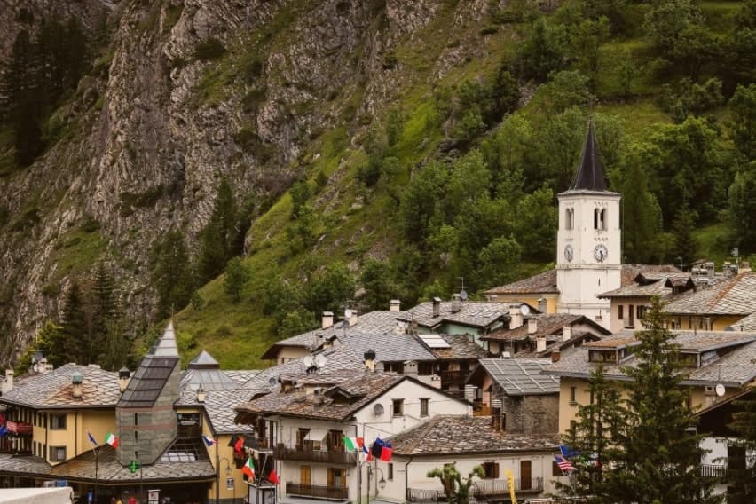
 The 7 Aosta Valley villages above 1,000 metres7 towns, Cogne among them.
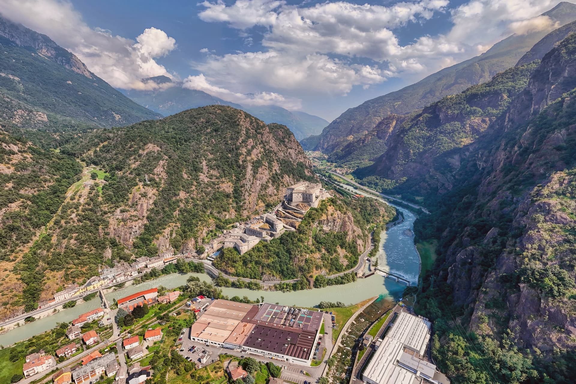
 The best ski towns in the province of Valle d'Aosta/Vallée d'Aoste8 towns, Cogne among them.
 The best towns that eat well in the province of Valle d'Aosta/Vallée d'Aoste8 towns, Cogne among them.
 10 mountain comuni near Turin10 towns, Cogne among them.
How to get there
From Turin (TRN), about 2 hours by car.
Milan (BGY) is about 3h 13m away.
By car from the centre of Genoa 3h 22m.
Driving in is restricted: there is a limited traffic zone here (centro storico). Check the signs and the times before you drive into the centre.
What to see
Prato di Sant'Orso
Flat alpine meadow at the foot of the village facing the Gran Paradiso, used for grazing in summer and 40 kilometers of cross-country ski tracks in winter.
Cascate di Lillaz
Three-tiered waterfall on the Urtier torrent in the hamlet of Lillaz, around 150 meters total drop, a major ice-climbing site in winter.
Chiesa di Sant'Orso
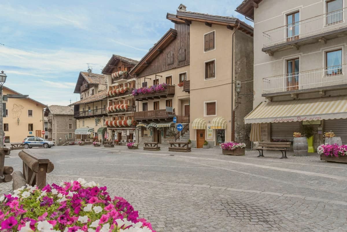
Parish church in the centro storico dedicated to the patron saint, fronting the village square.
Miniere di Cogne
Magnetite iron mines worked from the Middle Ages until 1979, with the Colonna site above the village now open as a museum and guided tour.
Valnontey
Side valley climbing toward the glaciers of the Gran Paradiso massif, home to the Giardino Alpino Paradisia botanical garden.
Gimillan
Hamlet above the village with a viewpoint over the Pré de Saint Ours, the Valnontey and the pyramid of the Grivola.
The slow-trip planner
Building a trip? Find where Cogne fits in a slow Italy circuit.
Answer five questions. We will shape a geographically coherent slow trip from the 1,000 Italian towns most travelers skip. Yours to save and share.
We recommend
Where to eat and stay
Not our picks, but places the guides put their name to: a Michelin star, a Gambero Rosso fork, a Slow Food snail, a Michelin Key for the hotels. Worth a table, a counter, or a night when you pass through.
Le Petit BellevueRistorante
One Michelin star for Le Petit Bellevue, along with two Gambero Rosso forks (83/100) and a place in L'Espresso's Top 300.
Coeur de BoisRistorante
A Gambero Rosso listing for Coeur de Bois, and a spot in the Michelin Guide.
Bar à FromageRistorante
Bar à Fromage has a spot in the Michelin Guide to its name.
Lou RessignonRistorante
Lou Ressignon holds a spot in the Michelin Guide.
Bellevue Hotel & SpaHotel
Bellevue Hotel & Spa holds two Michelin Keys and a place on Italy's historic-locali register.
Hotel MiramontiHotel
Hotel Miramonti holds a place on Italy's historic-locali register.
Through the year
What happens here
Feasts and festivals that come back year after year. We give the month rather than the date, because the date moves and the month rarely does. Check with the source before you plan a journey around one.
La Devétéya de Cognefood festival
usually held in September. Sagr.it - Sagre ed eventi in Valle d'Aosta
Living here
- Population 1,320
- Remotei
- Pharmacy in town
- Nearest airport Turin, 1 h 58 min drive
- Regional capital Aosta, 37 min drive
Common questions
- What is Cogne known for?
- Cogne is the mining town turned capital of the Gran Paradiso, the Aosta Valley's largest commune with 95 percent of its land inside Italy's oldest park.
- Where is Cogne?
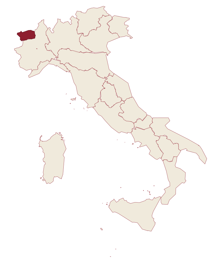
- Cogne is a comune in the province of Aosta Valley, in Aosta Valley, at 1534 meters above sea level.
- What is the nearest airport to Cogne?
- Turin (TRN), about 2 hours by car.
- How long is the drive from Genoa to Cogne?
- About 3h 22m by car.
- When is the best time to visit Cogne?
- Best in Jun–Sep, Dec–Mar. July is the warmest month, averaging 22 degrees, and June the wettest, with about 17 rain days.
- Is there a sagra or a festival in Cogne?
- Yes. La Devétéya de Cogne. September is when the first of them falls.
- Which other towns are like Cogne?
- Valtournenche, Ayas and Canazei.
- How many people live in Cogne?
- 1,320 at the 2023 count.
Tags & datadesignations · numbers · sources
Recognised as
The numbers
- Elevation: 1534 m
- Population: 1,320
- Surface area: 213.04 km²
These figures were compiled from public directories: ISTAT, OpenStreetMap and Wikidata, and from the official listings of the guides named on this page. Town details change; verify with official sources before you travel.
Similar
Towns like Cogne
Valtournenche
Province: Aosta Valley
both high in the mountains · both under 3,000 people
Ayas
Province: Aosta Valley
both high in the mountains · both under 3,000 people
Canazei
Province: Trento
both high in the mountains · both under 3,000 people
Lavarone
Province: Trento
both high in the mountains · both under 3,000 people
Rocca Pietore
Province: Belluno
both high in the mountains · both under 3,000 people
Falcade
Province: Belluno
both high in the mountains · both under 3,000 people
🌲 Parco Nazionale
More Parco Nazionale towns
Alfedena
Province: L'Aquila
At 914 meters at the head of the upper Sangro valley, the Samnite Aufidena, with a 15,000-tomb necropolis and a Roman conquest in 298 BC.
Barrea
Province: L'Aquila
A 1,066-meter spur above an artificial lake at the heart of the Abruzzo National Park, with a Samnite necropolis and an 11th-century di Sangro castle.
Calascio
Province: L'Aquila
A village of 125 people under the highest castle in the Apennines, cast as the monk's refuge in Ladyhawke.
Campli
Province: Teramo
A 393-meter town under the Monti della Laga, held by the Farnese for two centuries, with a Scala Santa carrying papal indulgence.
Campo di Giove
Province: L'Aquila
At 1,064 meters under the southwestern Maiella, the highest village in the park, named for a Roman temple to Jupiter.