The best towns inside a national park in the province of Nuoro
The interior of the province of Nuoro is built from what the mountain gives: grey granite in the highland villages, pale limestone where the massif tips towards the sea, roofs of terracotta laid on schist walls. This is the country of the Gennargentu, where holm oak and juniper give way to bare summit grass and shepherds still move flocks along paths older than the roads. The food follows the altitude, suckling pig turned over myrtle wood, pane carasau, pecorino, culurgiones filled with potato and mint, Cannonau grown on hillsides that see hard sun and cold nights. Autumn is the season the region cooks for, with chestnut and hazelnut festivals through October and November, though late spring brings the wildflowers and the cleanest water in the gorges.
In summer almost everyone who lands at Olbia turns north to the Costa Smeralda, where Porto Cervo's berths and beach clubs absorb the island's reputation and most of its money. It is beautiful, and it is also the most concentrated stretch of holiday development in Sardinia, with August traffic on the coastal road and beaches that fill by mid-morning. The interior, sitting an hour or two inland, sees a fraction of the same visitors.
The same granite spine that gives the north its rock and its wind continues south into the largest protected area on the island, and the villages inside that boundary are where these towns are. Some look out over the Golfo di Orosei and the limestone cliffs above Cala Luna, others sit high in the chestnut woods of the Barbagia, at the trailheads for the Supramonte and the old shepherds' routes. Fewer people go, and the ones who do come for walking, for painted walls, for wine and for the long lunches that follow a morning on the mountain.
Of the 16 communes we have mapped in the province of Nuoro, 8 qualify as towns inside a national park: each sits inside the boundary of a national park. The smallest, Atzara, has 999 residents.
If you are still choosing, we have also written The best hill towns in the province of Nuoro and The best wine towns in the province of Nuoro.
Atzara
Why visit Atzara
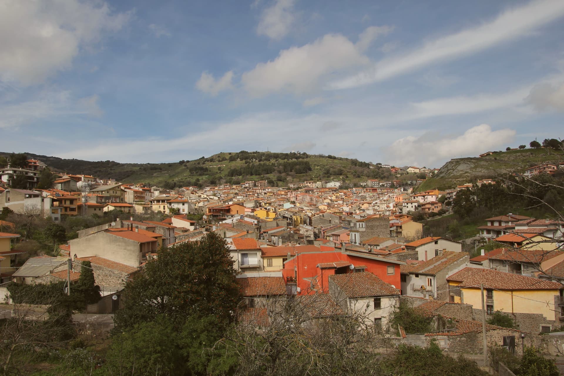
The Mandrolisai sub-region sits at the geographic centre of Sardinia, and Atzara occupies its western edge on the slopes that rise toward the Gennargentu, with the boundary of the national park running close to the eastern side of the commune. The village built its name first on wine: the volume and quality of the Mandrolisai blend was already established in the nineteenth century, before any painter arrived.
What changed at the turn of the twentieth century was who was looking at the place. Visiting artists found in the stone houses and the lanes of dark basalt and granite a ready subject for peasant scenes, and the school that grew out of their stay took the village's name.
The wine economy and the painting school are not separate stories so much as two outputs of the same setting: a farming village at altitude, built of local stone, whose ordinary life became the material for a documented artistic movement. What the town has kept, in its museum, its unchanged centro storico and its parish church, is the physical record of both.
What to see in Atzara
- Museo d'Arte Moderna e Contemporanea Antonio Ortiz Echagüe. Civic museum holding works by the Spanish costumbristas and the Sardinian painters of the Scuola di Atzara, including Antonio Ballero and Filippo Figari.
- Centro storico di Atzara. Stone houses of dark basalt and granite along narrow lanes, the model the painters used at the start of the twentieth century.
- Chiesa di Sant'Antioco Martire. Parish church in the heart of the village, built in Aragonese-Catalan late Gothic style with later modifications.
How to get to Atzara
Cagliari is roughly 103 minutes away by road.
Our tip
April through June and September through November are the dry, mild months at 553 metres, the right season for Mandrolisai cellar visits and walks toward the Gennargentu. July and August touch thirty degrees in the village and the vineyards switch to early-morning work. Winter is cold and quiet, with snow possible on the peaks above. I giorni del Mandrolisai falls in June.
Aritzo
Why visit Aritzo
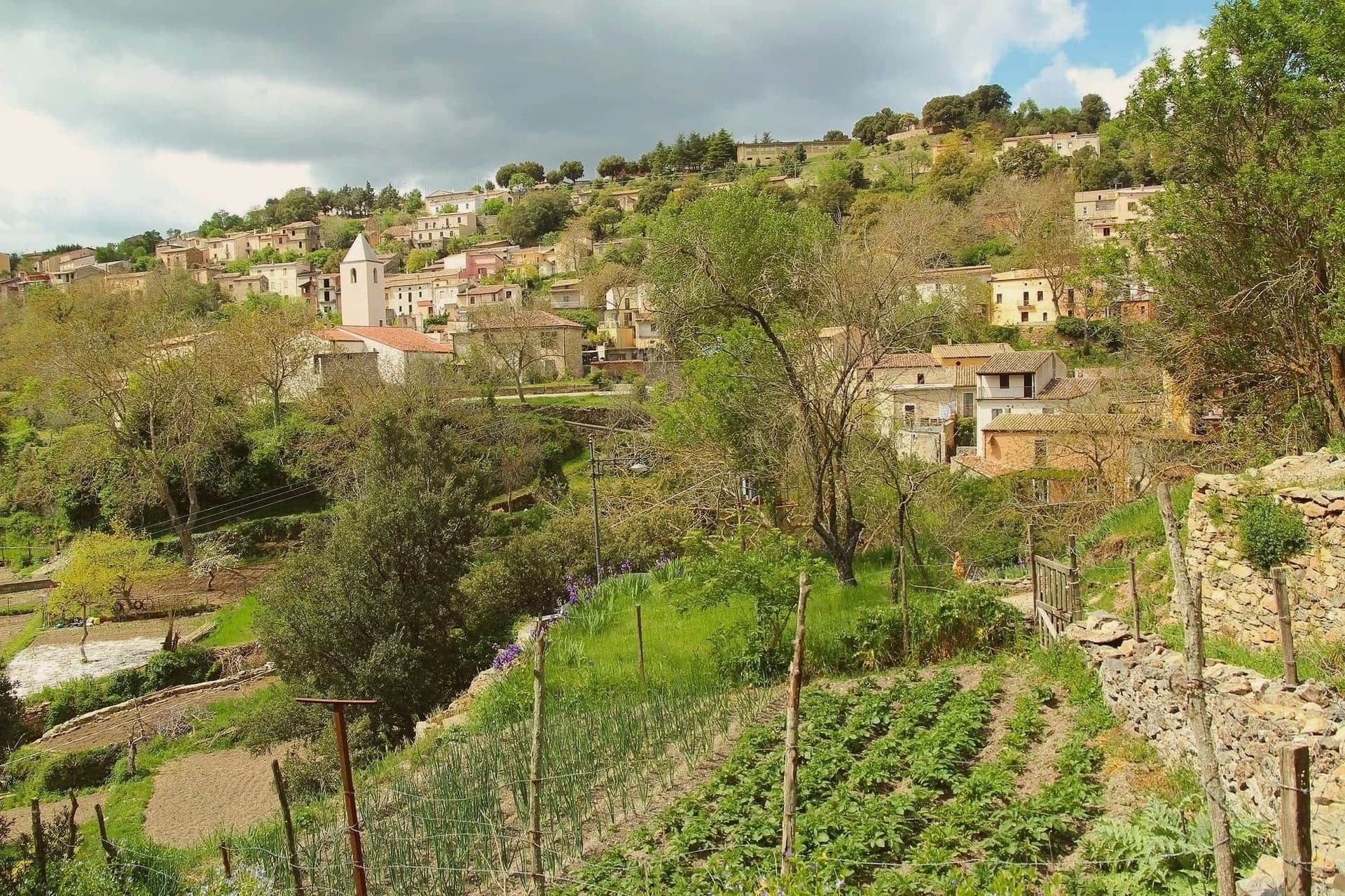
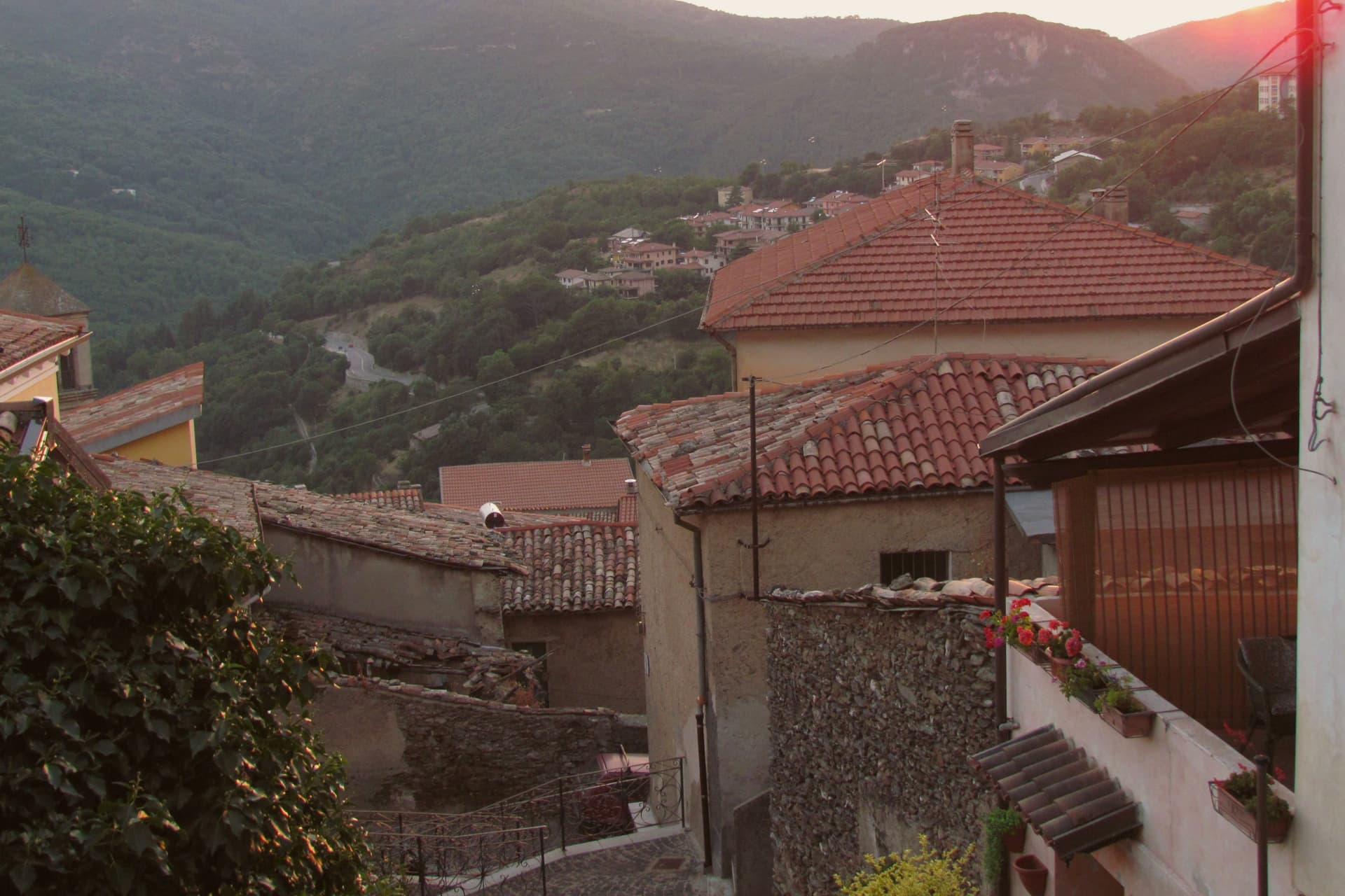
Aritzo sits at around 800 meters on the southern flank of the Gennargentu, in the Mandrolisai region eighty kilometers north of Cagliari. Until the early twentieth century the village ran a snow industry: men climbed to Funtana Cungiada at 1,300 meters, filled the domos de su nie, stone-lined snow wells covered with straw and earth, and sold the pressed snow down to the coast through summer.
The same snow chilled the sorbettières that produced Sa Carapigna, a fine lemon sorbet still made here in the autumn. Along Corso Umberto I stand the seventeenth-century Spanish prison Sa Bovida, with its sharp underpass, the parish church of San Michele Arcangelo, and Casa Devilla, the bourgeois house of the snow contractors.
The Castello Arangino, built in 1917 in neogothic style by Vincenzo Arangino, marks the upper end of the street. The Sagra delle Castagne every late October draws regional crowds for chestnut and hazelnut tastings.
What to see in Aritzo
- Carcere Spagnolo Sa Bovida. Seventeenth-century maximum-security prison in schist and chestnut, used until the 1940s, named for its Spanish-origin vaulted underpass.
- Casa Devilla. Three-level Spanish-era house of the Devilla family, contractors of the snow industry until the early 20th century, now part of the Ecomuseo.
- Castello Arangino. Neogothic castle built in 1917 by Vincenzo Arangino along Corso Umberto I, in medieval pastiche, still standing at the upper end of the street.
How to get to Aritzo
There is a railway station in the town, so you can arrive without a car and never need one while you are here. Cagliari is roughly 135 minutes away by road.
Our tip
May through October is the working season at 800 meters. June through September brings hiking weather in the Gennargentu, with the chestnut woods cool enough for afternoon walks even when the coast is over thirty degrees. October is the Sagra delle Castagne, when the village fills for two weekends of chestnut and hazelnut tastings and Sa Carapigna. Sagra della Castagna di Aritzo falls in October.
Gavoi
Why visit Gavoi
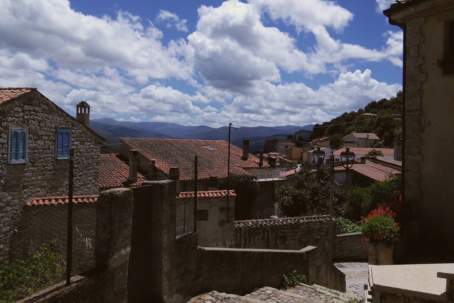
Gavoi sits at 777 metres in the Barbagia di Ollolai, the high interior of central Sardinia, on the shore of Lake Gusana — an artificial reservoir formed in 1961 by damming the Taloro river to feed the Sardinian electrical grid. The village is one of Sardinia's two Bandiera Arancione towns awarded by the Touring Club Italiano, and falls within the boundary of the Parco Nazionale del Golfo di Orosei e del Gennargentu.
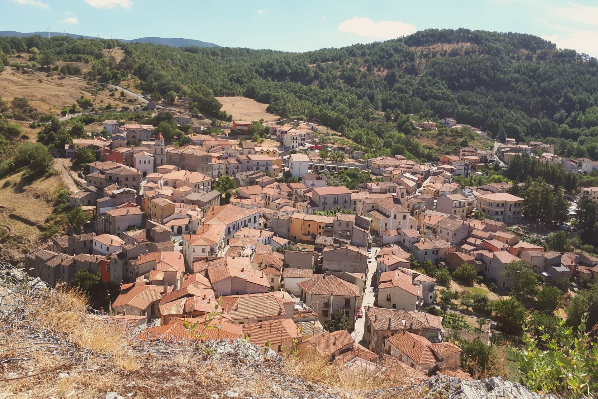
The centro storico is dense stone, with the parish church of San Gavino Martire (15th c.) and the late-Romanesque San Antonio Abate anchoring opposite ends of the village. Gavoi is the home of the PDO Fiore Sardo, a hard sheep's-milk pecorino made here for at least three centuries using unpasteurised milk and traditional smoking over juniper; the dairy cooperative still operates seasonally.
Every July the village hosts L'Isola delle Storie — Festival Letterario della Sardegna, the country's most-attended summer literary festival, drawing writers from across Italy and Europe to readings staged outdoors in the piazzas. Outside the festival week it's one of the quieter ridge villages in the Barbagia.
What to see in Gavoi
- Centro storico. Dense Barbagia stone village at 777 metres, with the parish church of San Gavino Martire (15th c.) and the late-Romanesque San Antonio Abate anchoring opposite ends.
- Fiore Sardo PDO. Hard sheep's-milk pecorino made here for at least three centuries with unpasteurised milk and traditional juniper smoking. The dairy cooperative operates seasonally.
- Lago di Gusana. Artificial reservoir formed in 1961 by damming the Taloro river. Birdwatching, kayak rental in summer, and the village's main warm-weather draw.
How to get to Gavoi
Sassari is roughly 120 minutes away by road.
Our tip
April through October is the season at 777 metres. June and September are the most pleasant: warm Mediterranean afternoons without the August heat that bakes the lower coast. **The first week of July is L'Isola delle Storie** — the village fills with writers, readers and journalists; book accommodation months ahead or skip the festival week entirely. July-August otherwise stays temperate at this elevation.
Baunei
Why visit Baunei
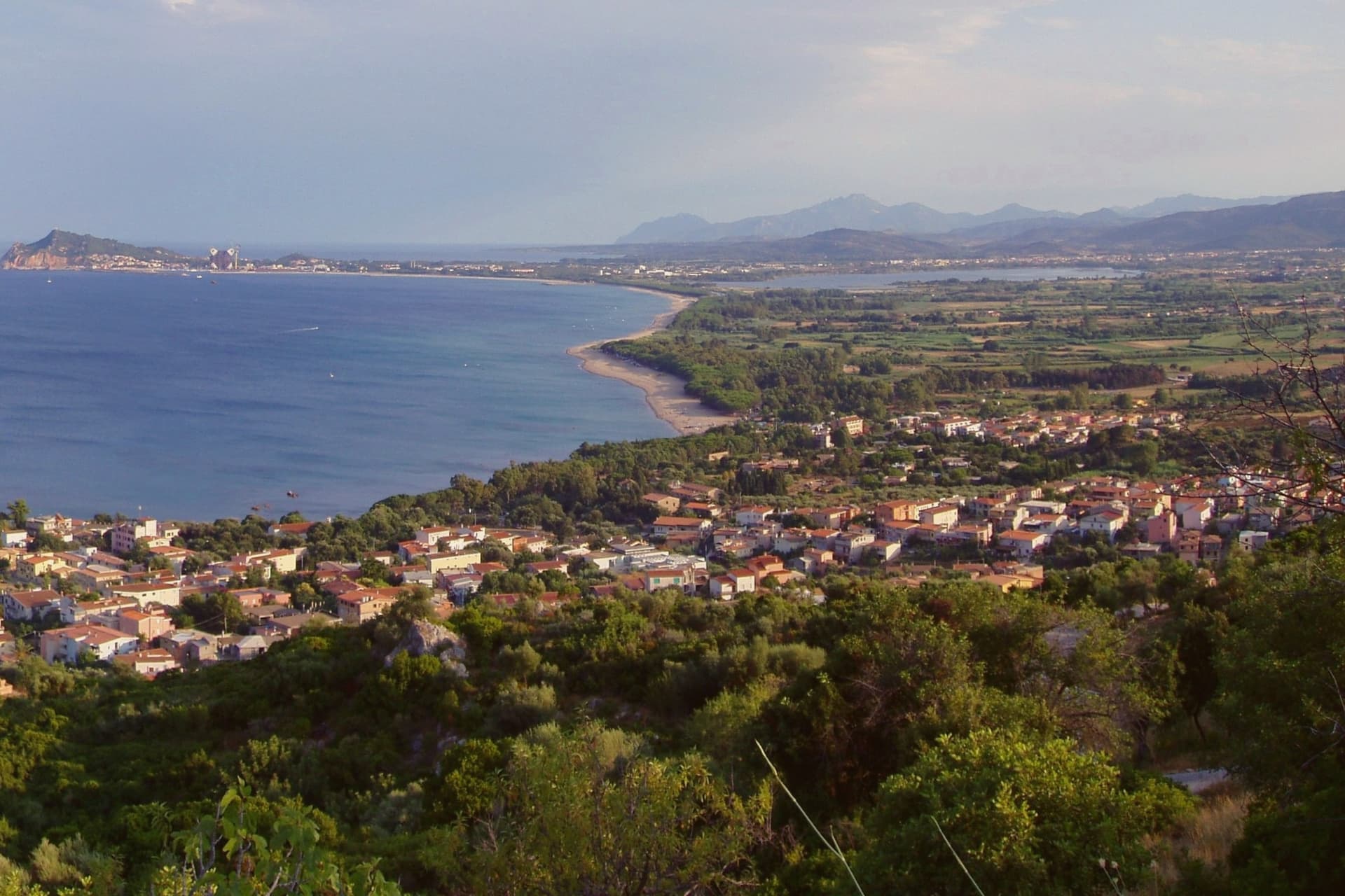
Baunei sits on the southern flank of the Supramonte, the village on its ridge and its coast forty kilometers below, a stretch reachable only by boat or on foot and belonging entirely to the commune. Santa Maria Navarrese is the only seaside frazione, a small bay with a Romanesque church that serves as harbor for boat trips along the gulf.
Inland and above, the limestone plateau carries free-grazing goats, a deep karst sinkhole, and the chapel of San Pietro, a different register of the same terrain that drops to cliffs at the shore. The coast itself is a sequence: a cove of polished white pebbles a few points north of the arch beach, the needle marking the southern end near Santa Maria Navarrese, and another cove further along, the two points bracketing the long trekking route sketched in 1987 by photographer Mario Verin and alpinist Peppino Cicalò.
The territory falls inside the Parco Nazionale del Golfo di Orosei e del Gennargentu. What holds the village, plateau, and coast together is the same limestone, worked by the sea into coves and arches below and by karst into a sinkhole and plateau above.
What to see in Baunei
- Cala Goloritzé. White pebble beach under the arch, reachable only by boat or on foot, the shoreline it sits on regularly ranked among Italy's top ten.
- Cala Mariolu. Cove of small white pebbles and turquoise water north of Goloritzé, reached by boat from Santa Maria Navarrese or Cala Gonone.
- Pedra Longa. 128-metre limestone needle rising from the sea above Santa Maria Navarrese, the south marker of the Baunei coast.
How to get to Baunei
Cagliari is roughly 188 minutes away by road.
Our tip
April through June and September through November is the window for Baunei. The Selvaggio Blu opens in late April and effectively closes by mid-October; July and August are too hot for the cliffs, with no water along most of the route and temperatures above thirty-five degrees in the gorges. Cala Goloritzé and Mariolu run on a daily visitor cap from May through October, and the boat operators from Santa Maria Navarrese sell out by early morning in August.
Fonni
Why visit Fonni
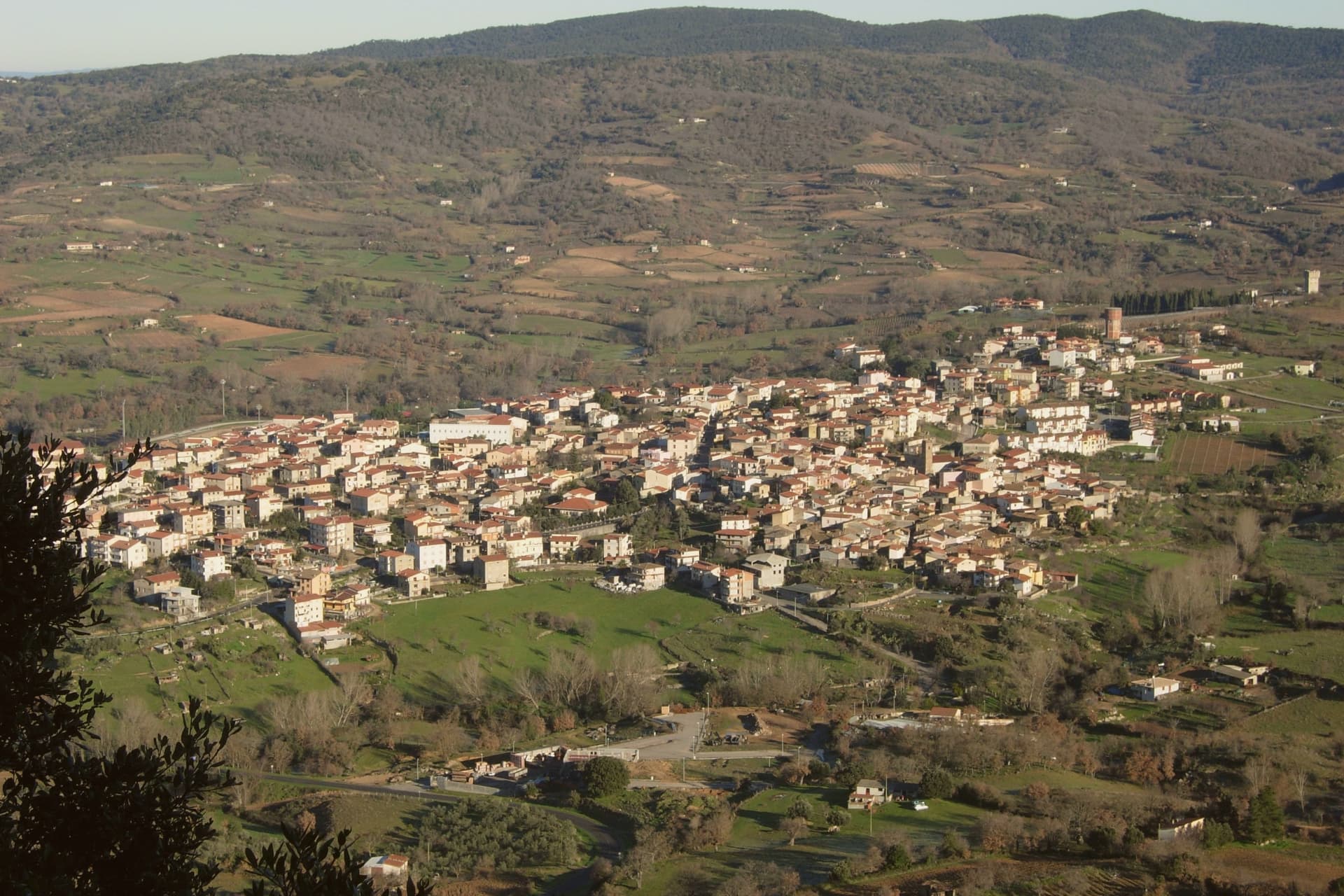
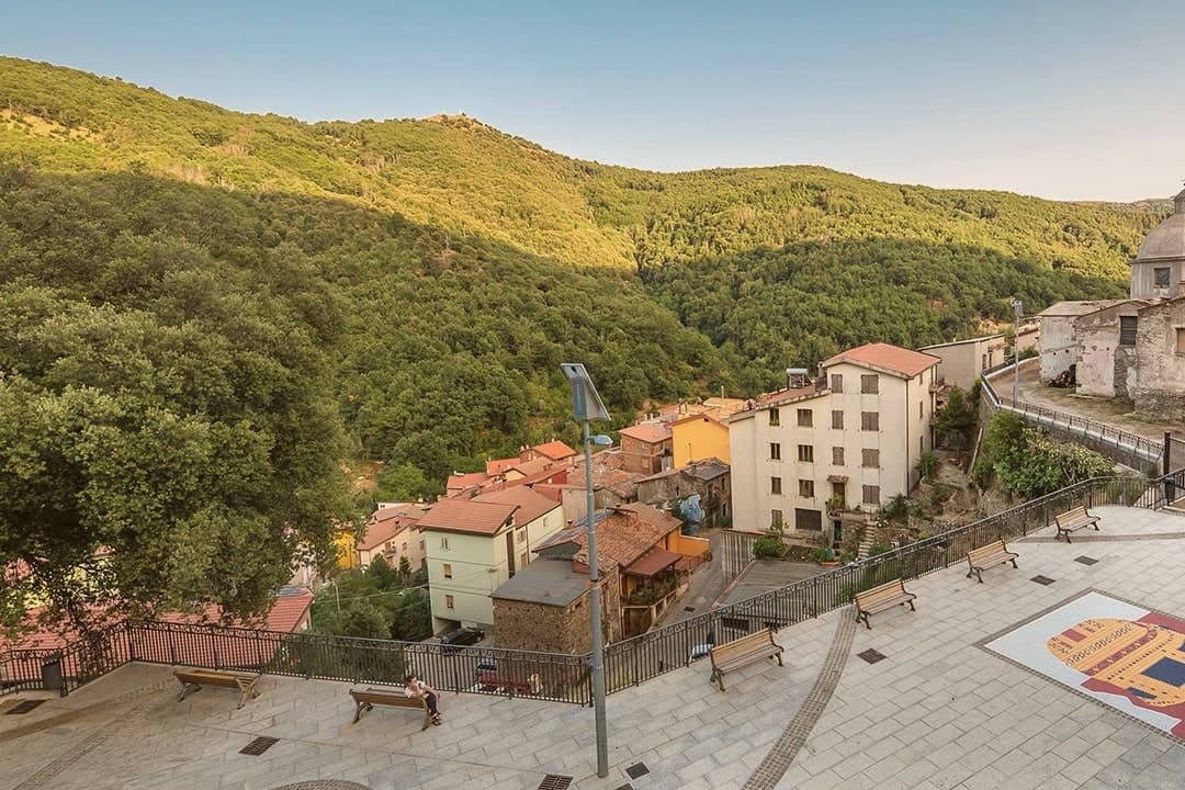
Fonni sits on the northern slope of the Gennargentu, with the island's summit rising to the south, reached on foot from the Arcu Correboi pass. The village is arranged around two poles: the centro storico, holding the parish church, and the sanctuary square outside it, which fills with cumbessias during the Festa dei Martiri on the first Sunday of June.
The convent there was donated to the Observant Franciscans in 1610 by Don Stefano Melis, and the upper church and crypt followed nearly a century later. Fonni hosts an autumn Cortes Apertas weekend in December as part of the Autunno in Barbagia circuit, and the comune falls within the Parco Nazionale del Gennargentu.
Between the altitude, the park boundary, and the sanctuary's pull on the valley below, the town reads as a place organized around elevation and pilgrimage rather than around a single center.
What to see in Fonni
- Santuario della Madonna dei Martiri. The complex sits on a large square outside the village with crypt, oratory, and surrounding cumbessias, the largest pilgrim sanctuary of Barbagia.
- Chiesa di San Giovanni Battista. Parish church in the centro storico, rebuilt in the sixteenth century with Gothic interior elements surviving from that reconstruction.
- Bruncu Spina and Monte Spada. Ski terrain at 1,829 metres reached by lift from Fonni, the only operational ski station in Sardinia in years when snow holds.
How to get to Fonni
Sassari is roughly 154 minutes away by road.
Our tip
Fonni runs on two seasons. June through September is the high-mountain summer: cool nights, daytime highs in the low twenties, Punta La Marmora and the Gennargentu trails accessible without snow. December through March is the winter season, when Bruncu Spina runs its lifts in years the snow holds, increasingly fewer. Sfilata Internazionale delle Maschere Tradizionali falls in July.
Orgosolo
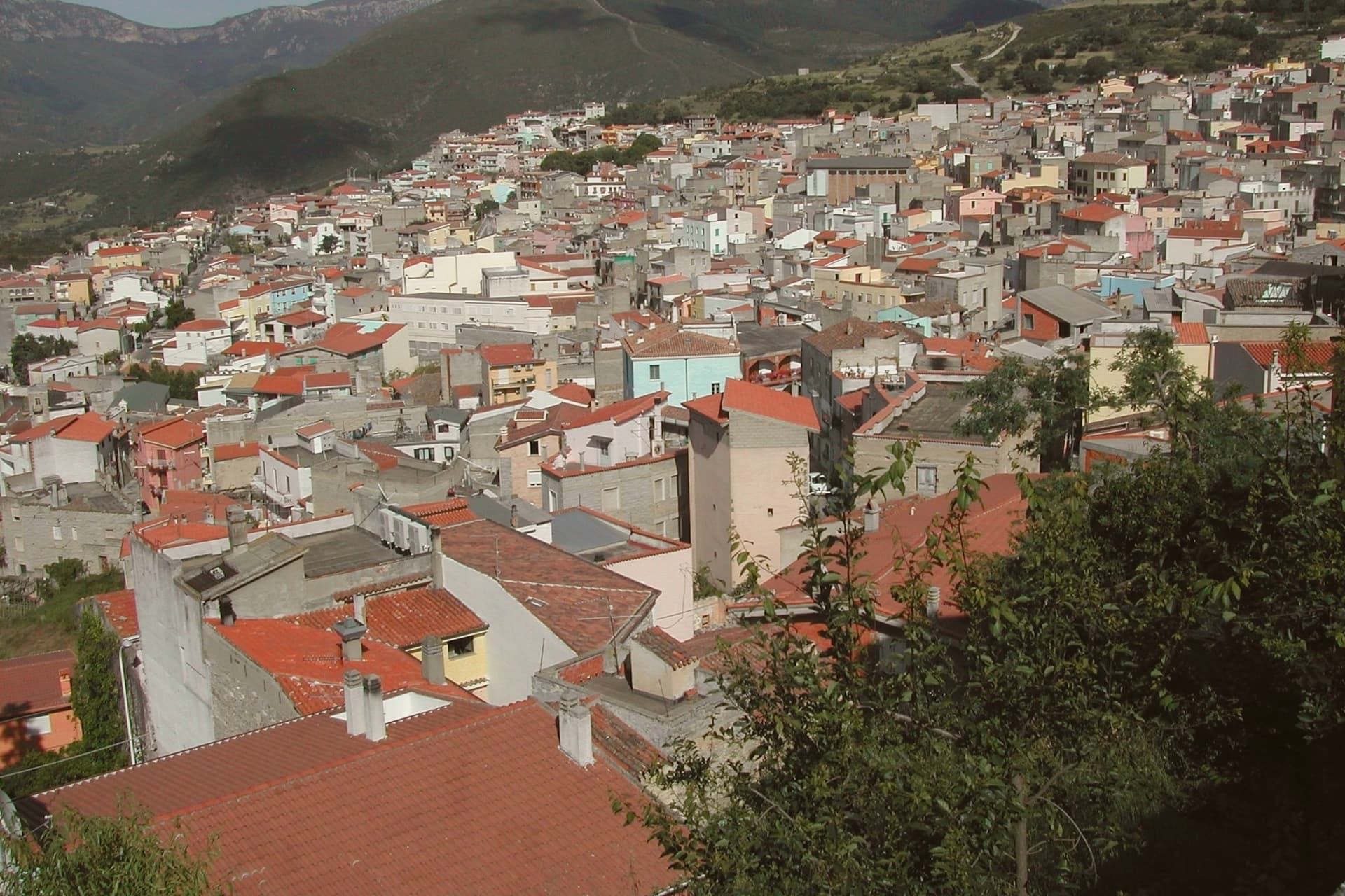
Why visit Orgosolo
Orgosolo sits at 620 meters on the western flank of the Supramonte, deep inside Barbagia di Nuoro. The town is famous for two things, and they are connected.
In June 1969 the Italian Army announced plans to turn the Pratobello plateau, the village's grazing land, into a firing range. The population of about 3,500 occupied the plateau peacefully for days.
The Army withdrew. That summer, the Milanese anarchist group Dioniso painted the first mural in town to mark the revolt.
Starting in 1975, a Sienese teacher named Francesco Del Casino worked with his students to expand the project. There are now more than 150 murals on village walls, most political, ranging across Sardinian autonomy, anti-fascism, Latin American solidarity, and contemporary international causes.
Orgosolo is also one of the great centers of canto a tenore, the four-voice polyphonic singing recognized by UNESCO in 2005. The Supramonte plateau covers 3,500 hectares east of the town, oak, juniper, limestone, the territory shepherds and bandits used to disappear into for decades.
What to see in Orgosolo
- Murales di Orgosolo. Over 150 political and social murals across the village walls, started in 1969 by the Dioniso collective and expanded since 1975 with Francesco Del Casino.
- Supramonte di Orgosolo. 3,500-hectare limestone plateau east of the village, oak forest and bare rock, the historical refuge of Barbaricin shepherds and the territory of Pratobello.
- Nuraghe Mereu. Nuragic complex on the Supramonte di Orgosolo, candidate for the UNESCO list of Nuragic monuments of Sardinia.
How to get to Orgosolo
Sassari is roughly 202 minutes away by road.
Our tip
May through October is the realistic window for Orgosolo. The Supramonte plateau opens fully by late spring, and the murals walk through the centro storico is comfortable below thirty degrees. July and August are hot at 620 meters, though the surrounding plateaus stay cool at night.
Oliena
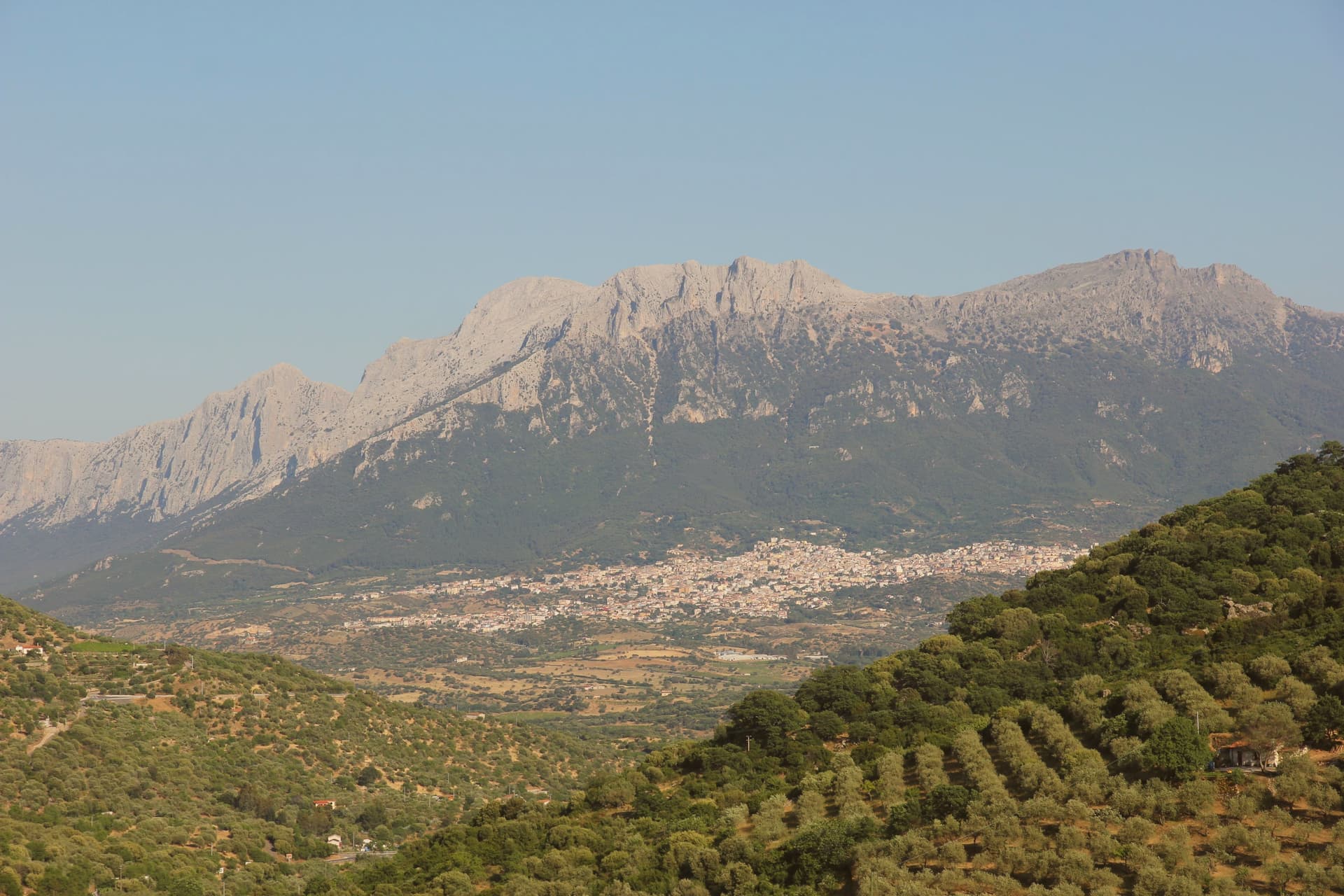
Why visit Oliena
Oliena sits at 380 metres on the western flank of the massif, in the interior of the Nuoro province. The village is the main inhabited base for one of the wildest karst landscapes in Italy: the Lanaitto valley below the town conceals the collapsed doline that hides the Tiscali village, and the caves of Sa Oche and Su Bentu, whose river runs for one of the longest stretches underground of any in Italy.
Monte Corrasi stands over all of it, the high point of the Supramonte, with the spring rising at the foot of a neighbouring peak just east of the centre. Olive groves and almond orchards fill the valley below the cliffs, and the Cannonau grown on these slopes becomes the Nepente di Oliena, the wine D'Annunzio named for Olympus.
The village belongs to the Parco Nazionale del Gennargentu zone and holds the Bandiera Arancione of the Touring Club Italiano. What holds the place together is the relation between the heights and the valley floor: a limestone wall that produces caves, a hidden village and a river underground, and beneath it a strip of cultivated ground that has made the wine and the oil while the mountain keeps the rest concealed.
What to see in Oliena
- Monte Corrasi. The peak rises directly above the village, a long climb from town and the dominant presence on the skyline in every direction.
- Su Gologone. The spring sits at the foot of Monte Uddè, its water surfacing already emerald-green rather than gathering colour downstream.
- Villaggio nuragico di Tiscali. Bronze Age village of circular huts hidden inside a collapsed karstic doline on Monte Tiscali, reached on foot through the Lanaitto valley.
How to get to Oliena
Sassari is roughly 138 minutes away by road.
Our tip
April through June and September through November are the working months: dry warmth on the cliff face, water still in the Gologone, hiking conditions for Tiscali and the Lanaitto valley. July and August push past thirty-five degrees on the lower slopes and most serious walkers leave the Supramonte alone between eleven and four. Winter is quiet, with snow possible above 1,200 metres on Corrasi and the village turning to its olive harvest in November.
Dorgali
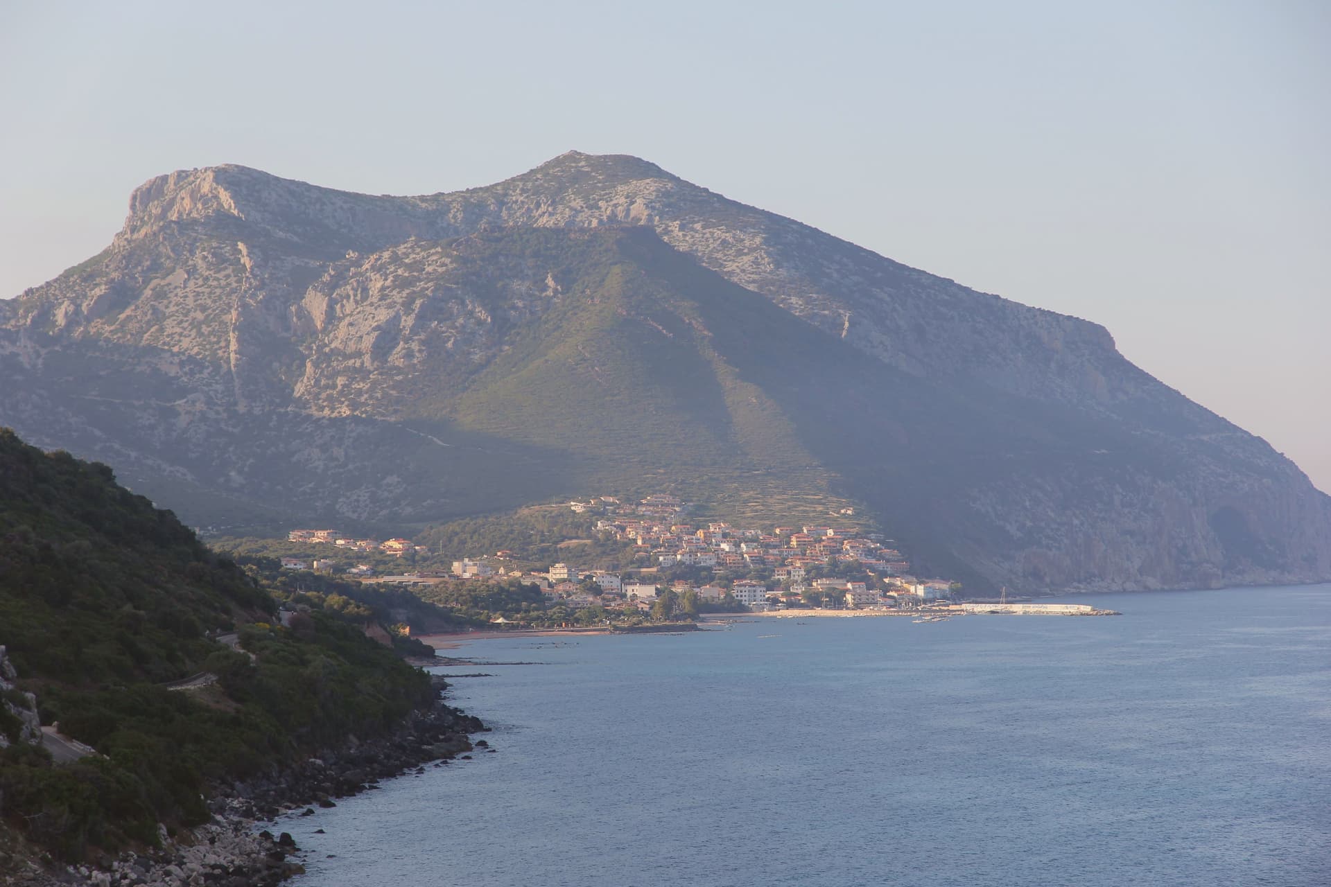
Why visit Dorgali
Dorgali sits on the seaward side of the Supramonte, ten kilometers from the coast, its municipal territory covering 225 square kilometers, one of the largest in the province of Nuoro. The coastal frazione holds a thousand residents in winter and fifteen thousand in August, facing the Gulf of Orosei from a small bay reached by a tunnel through the limestone.
North of the town, a sinkhole opens into the massif, the ground beneath it inhabited across centuries before the first millennium BC. South of the town, a river has cut through the same limestone to leave one of the deepest canyons in Europe, its walls holding a plant found nowhere else.
The Cantina Sociale di Dorgali, founded in 1953, vinifies 90 percent of its production from Cannonau across 550 hectares of vineyards in the surrounding communes. The whole territory lies inside the Parco Nazionale del Golfo di Orosei e del Gennargentu.
What connects the coast, the sinkhole, and the gorge is the same limestone mass, worn by water into a cave dwelling in one place and a canyon in another, with the town itself set at the point where the massif starts its descent to the sea.
What to see in Dorgali
- Villaggio nuragico di Tiscali. Bronze Age village at 518 metres, reached by two hours of hiking through Supramonte limestone before the sinkhole opens underfoot.
- Gola di Su Gorropu. Walls rising sheer from the canyon floor, among the deepest gorges in Europe, the gorge narrow enough that daylight reaches the bottom for only part of the day.
- Cala Gonone. Coastal frazione of Dorgali on the Gulf of Orosei, ten kilometers from the town, the harbor for boat access to the wild beaches south.
How to get to Dorgali
Sassari is roughly 156 minutes away by road.
Our tip
April through June and September through November are the months for Dorgali. The Tiscali hike and Su Gorropu canyon need cool air; mid-July to mid-August on the Supramonte routinely passes thirty-five degrees and the trails close to organized groups. Cala Gonone is the inverse: May through October is the boat season for the Gulf of Orosei coves, and the Cala Luna ferries run on a fixed schedule.