The best olive oil towns in Sardegna
Sardinian olive oil tastes of the island: grassy, peppery at the back of the throat, pressed mostly from the Bosana olive that grows on terraces of dry stone above the sea and on the volcanic soils inland. The harvest runs through late autumn and into winter, when the mills work at night and the smell of crushed fruit hangs in the streets of towns built from basalt and pale trachyte. This is the season for pane carasau torn and doused in new oil, for artichokes eaten raw with salt, for roast suckling pig and sheep's cheese that needs nothing else. The trees themselves are part of the landscape here, some of them ancient wild olives with trunks like rope, standing in fields grazed by sheep.
Most people who come to Sardegna go to the Costa Smeralda, or to the beaches around Villasimius and Chia, and they come in July and August when the water is warm and the ferries are full. It is a reasonable thing to want. The granite coves of Gallura are as good as the pictures suggest, which is exactly why the road to them queues, the beach car parks fill by mid-morning and a plate of fish costs what it costs. What that itinerary misses is that the coast is a rim, and the island behind it is agricultural, mountainous and busiest in the months when nobody is swimming.
The same olive terraces that feed the coastal restaurants keep going inland, up the Planargia, around the flanks of Monte Ferru, along the Tirso valley and into the foothills below Supramonte. Fewer people go to the towns strung along that route, though several of them are recognised nationally for their oil and have mills you can visit, cooperatives selling by the litre, and autumn festivals built around the first pressing. They are worth a detour on the way between beaches, or better, worth the trip on their own in November. What follows are the olive towns of Sardegna that belong to the national association of olive-oil towns, and where the oil is the reason to arrive.
Of the 40 communes we have mapped in Sardegna, 7 qualify as olive oil towns: each belongs to the national association of olive-oil towns. The smallest, Seneghe, has 1,645 residents.
If you are still choosing, we have also written The 10 best hidden wine towns in Sardegna and The best coastal towns that eat well in Sardegna.
Seneghe
Why visit Seneghe
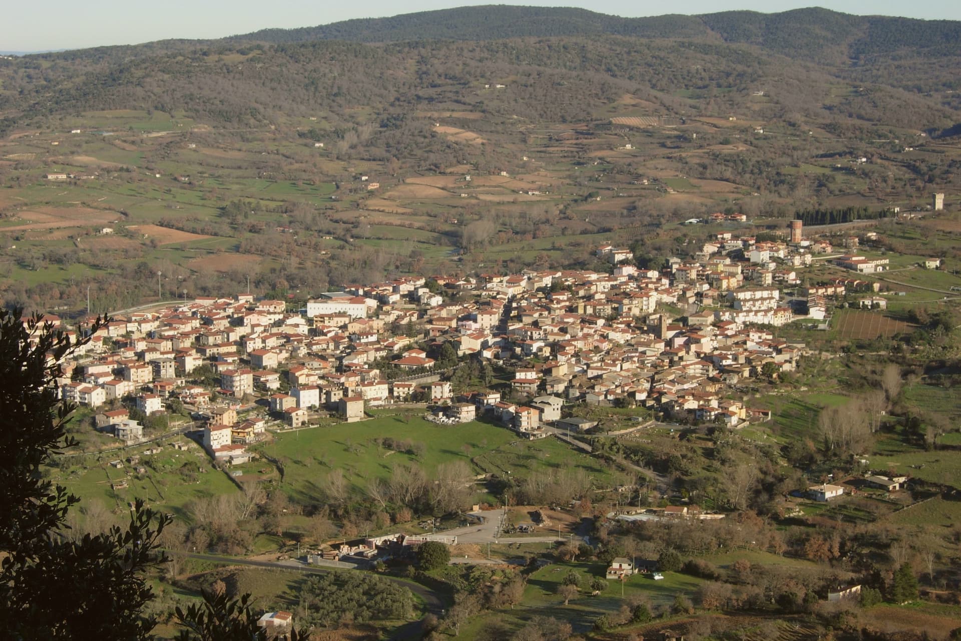
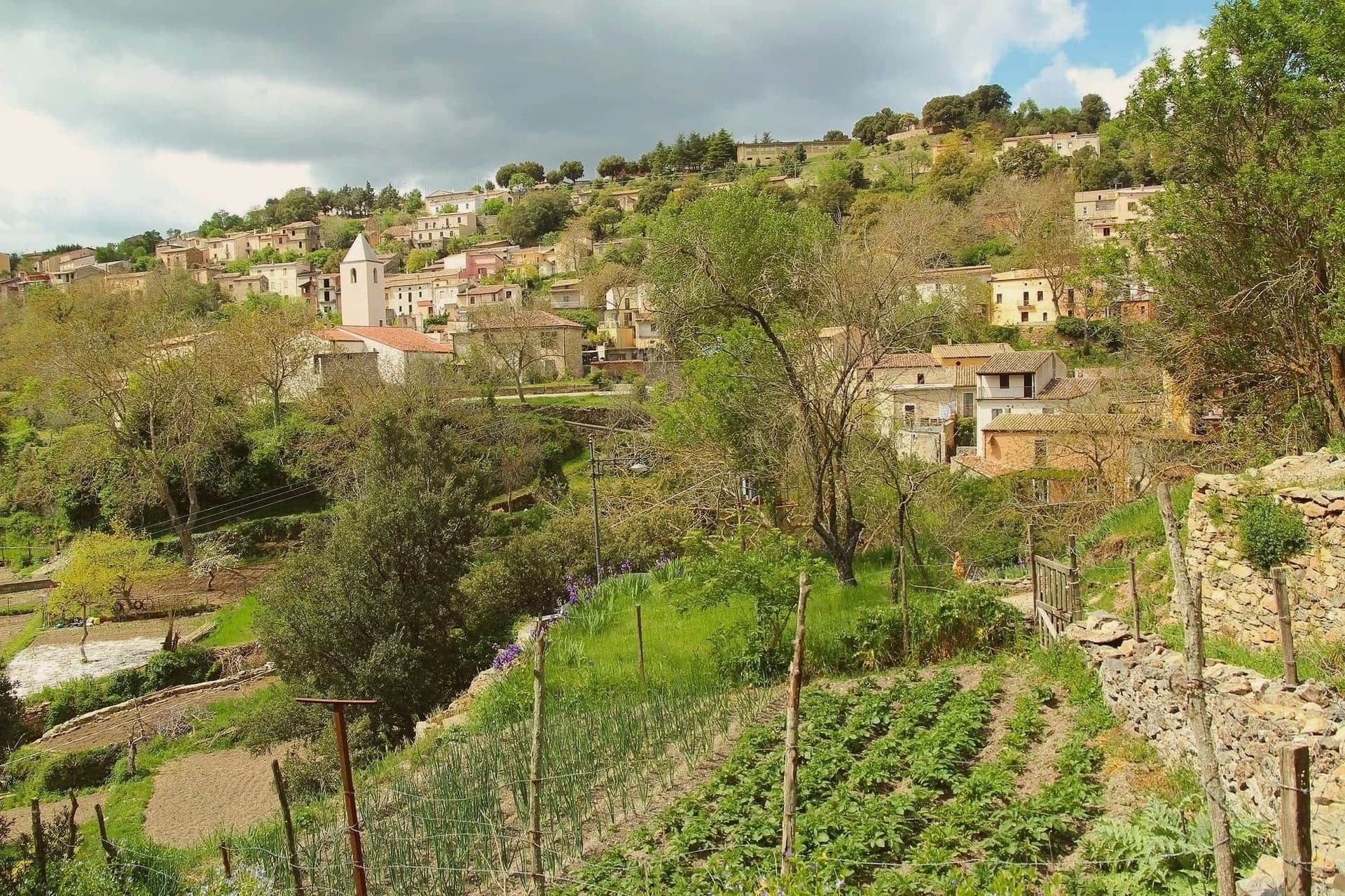
Seneghe sits at 305 meters on the eastern slope of Montiferru, the extinct volcano that supplies the basalt the village is built from. About 1,650 people live here, and the surrounding hills are planted with bosana and other Sardinian olive cultivars.
The extra-virgin oil is good enough that Seneghe won the Ercole Olivario, Italy's top national olive-oil prize, in 1994, and the village hosts the annual Premio Montiferru, the national jury competition for Italian oils. The other reason to come is poetry.
Each September, the village hosts Cabudanne 'e Sos Poetas, a festival that began in 2005 and was named Italy's best poetry event in 2009. Poets read in piazzas, in courtyards, in the basalt streets, in Sardinian and Italian and translated languages.
For three days the population doubles. The rest of the year, the town runs on agriculture, oil, and Bue Rosso cattle, the Montiferru red-coated breed that supplies the local pastoral economy.
What to see in Seneghe
- Chiesa di Santa Maria della Rosa. Parish church in the centro storico, basalt construction, holding the village's principal religious feasts.
- Centro storico in basalto. Old quarter built from the dark volcanic stone of Montiferru, with the characteristic black-grey lanes and walls of the area.
- Montiferru olive groves. Hillside groves of bosana and other Sardinian cultivars feeding the village's award-winning extra-virgin oil production.
How to get to Seneghe
Cagliari is roughly 108 minutes away by road.
Our tip
April through June and September through November are the working months in Seneghe. Spring brings green hills and warm days under twenty-five degrees. The first week of September is the highlight: Cabudanne 'e Sos Poetas fills the village for four days.
Cuglieri
Why visit Cuglieri
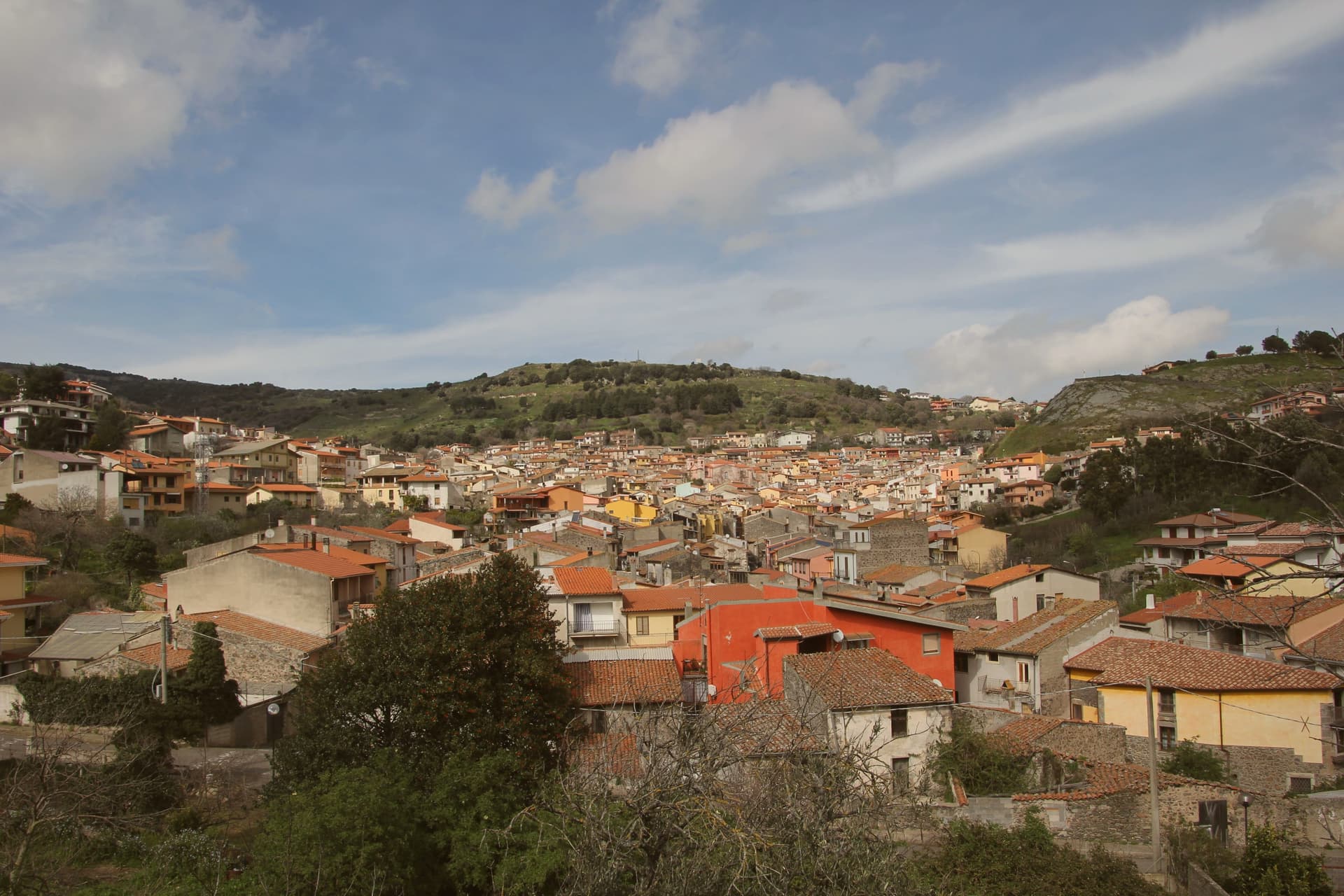
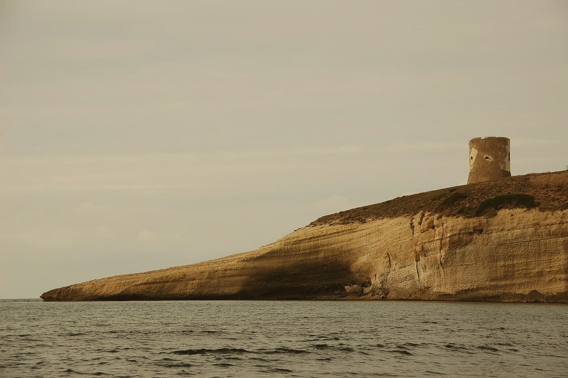
Cuglieri fans out like an amphitheatre on Bardosu hill at 428 meters, on the western slope of the Montiferru volcanic massif, the principal town of the historical Montiferru region. The Basilica di Santa Maria ad Nives, the Madonna of the Snow, dominates the village and was the first church in Sardegna granted the title of minor basilica; the patronal festa runs from 4 to 7 August.
The Zatrillas family planted olives across more than five hundred hectares around the town from the seventeenth century onward, and the silver-leafed groves still define the landscape; the local oil carries the Città dell'Olio mark. Six kilometers down toward the coast lie the ruins of Cornus, the Punic settlement founded at the end of the sixth century BC that became the stronghold of Sardo-Punic resistance to Rome in 215 BC.
The Columbaris cemetery on the same plateau holds an early Christian basilica complex, a baptistery, and a necropolis in use from the fourth century AD until a fire in the seventh or eighth century ended the site.
What to see in Cuglieri
- Basilica di Santa Maria ad Nives. First minor basilica in Sardegna, dominates the town from above; patronal festa of the Madonna of the Snow runs 4-7 August.
- Area archeologica di Cornus. Punic city founded around 525 BC, stronghold of anti-Roman revolt in 215 BC, six kilometers from the town toward the coast.
- Columbaris. Early Christian cemetery and basilica complex built over a Roman thermal structure, in use from the 4th to the 7th-8th century AD.
How to get to Cuglieri
Sassari is roughly 98 minutes away by road.
Our tip
April through June and September through November are the months for the Montiferru slopes. The olive harvest runs from late October into December, when the local presses fill, and the Sa Crapitta and Sagra dei Sapori autumn dates draw food crowds. July and August reach the mid-thirties in the valley; the village stays cooler at 428 meters but the basilica steps and the Cornus ruins are best walked outside high summer. Santa Maria della Neve a Cuglieri falls in August.
Oliena
Why visit Oliena
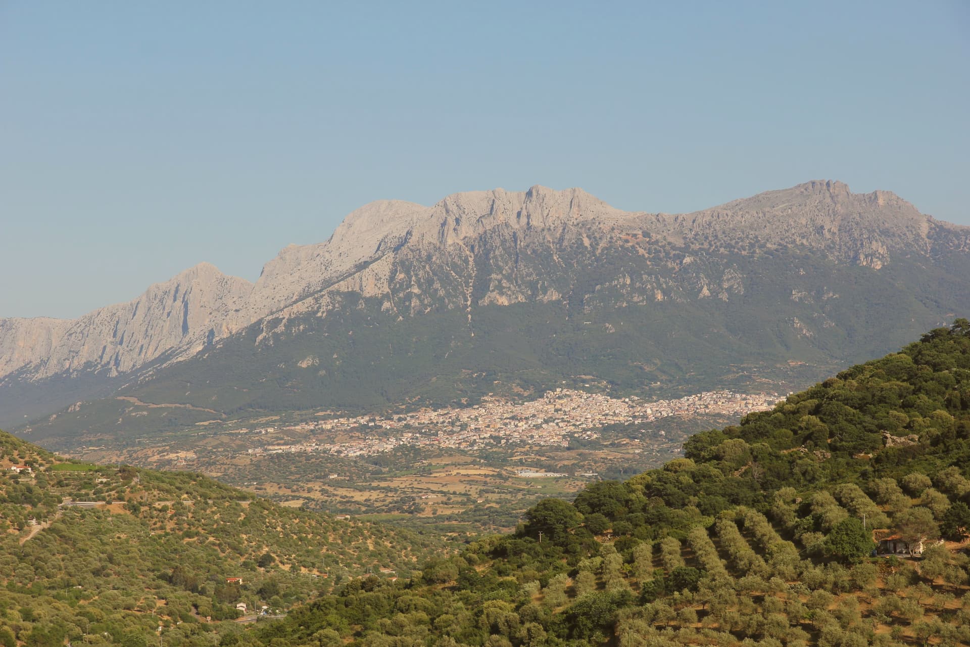
Oliena sits at 380 metres on the western flank of the massif, in the interior of the Nuoro province. The village is the main inhabited base for one of the wildest karst landscapes in Italy: the Lanaitto valley below the town conceals the collapsed doline that hides the Tiscali village, and the caves of Sa Oche and Su Bentu, whose river runs for one of the longest stretches underground of any in Italy.
Monte Corrasi stands over all of it, the high point of the Supramonte, with the spring rising at the foot of a neighbouring peak just east of the centre. Olive groves and almond orchards fill the valley below the cliffs, and the Cannonau grown on these slopes becomes the Nepente di Oliena, the wine D'Annunzio named for Olympus.
The village belongs to the Parco Nazionale del Gennargentu zone and holds the Bandiera Arancione of the Touring Club Italiano. What holds the place together is the relation between the heights and the valley floor: a limestone wall that produces caves, a hidden village and a river underground, and beneath it a strip of cultivated ground that has made the wine and the oil while the mountain keeps the rest concealed.
Su Gologone, Sa Corte have been named by a guide.
What to see in Oliena
- Monte Corrasi. The peak rises directly above the village, a long climb from town and the dominant presence on the skyline in every direction.
- Su Gologone. The spring sits at the foot of Monte Uddè, its water surfacing already emerald-green rather than gathering colour downstream.
- Villaggio nuragico di Tiscali. Bronze Age village of circular huts hidden inside a collapsed karstic doline on Monte Tiscali, reached on foot through the Lanaitto valley.
How to get to Oliena
Sassari is roughly 138 minutes away by road.
Our tip
April through June and September through November are the working months: dry warmth on the cliff face, water still in the Gologone, hiking conditions for Tiscali and the Lanaitto valley. July and August push past thirty-five degrees on the lower slopes and most serious walkers leave the Supramonte alone between eleven and four. Winter is quiet, with snow possible above 1,200 metres on Corrasi and the village turning to its olive harvest in November.
Orosei
Why visit Orosei
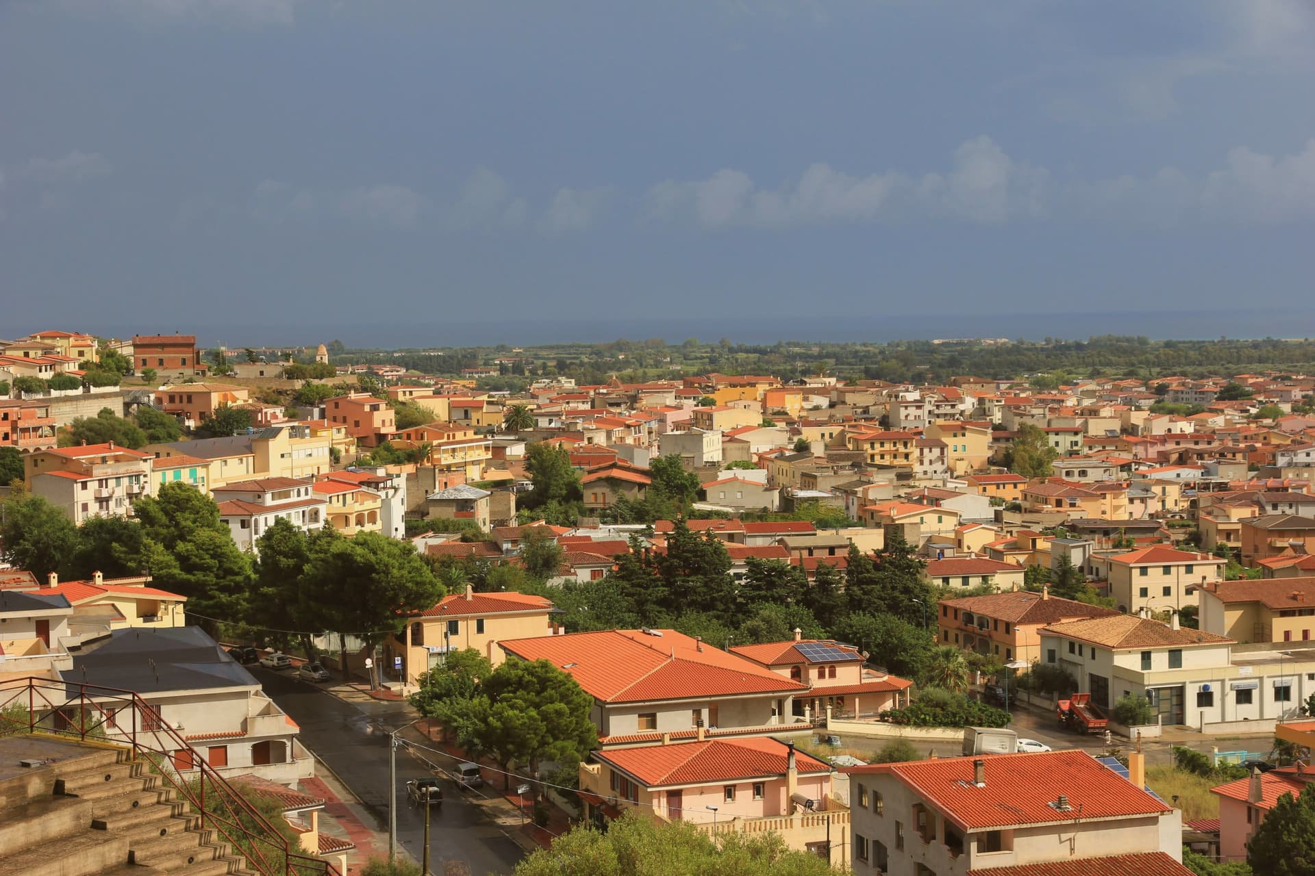
Orosei sits at 19 meters, two kilometers inland from the coast, in the valley the Cedrino has built over an eighty-kilometer run from its source to the river mouth just below the town. The gulf beyond takes its name from the village, not the reverse, and the town's old centre and its churches sit apart from the coastline they are named after: the historic core inland, the cliffs and coves to the south, connected only by the river's short final stretch to the sea.
The old town itself holds more churches than most: twenty-seven recorded across its history, thirteen still standing, clustered in and around a centre that also carries the remains of a walled castle and a fortified religious complex nearby. Baroque, Romanesque and volcanic stone construction sit close together here, the layers of the town's church-building visible within a small radius rather than spread across the wider district.
The valley that separates the old town from the cliffs is the same alluvial ground that produces its olive oil, so the same river shapes both the town's inland economy and the outlet where it reaches the sea. Orosei reads, in the end, as an inland settlement whose name attached itself to a coastline it does not touch.
What to see in Orosei
- Chiesa di San Giacomo Apostolo. Reached by a wide staircase above Piazza del Popolo, the white façade dates to the eighteenth century though the dedication is older.
- Chiesa di Sant'Antonio Abate. Volcanic stone raised over a Romanesque base, its interior frescoes among the oldest surviving decoration in the old town.
- Sa Prejonevetza. A single tower is what remains of the walls that once closed the castle. Locals still use the old name, a memory of its time as a prison.
How to get to Orosei
Sassari is roughly 143 minutes away by road.
Our tip
May through October is the operating season on this stretch of coast. Boats from Cala Gonone to Cala Luna and Cala Mariolu run from May through September; the cliffs and the coves of the southern gulf are unreachable any other way. July and August fill the village and the river-mouth beach at Osalla.
Bosa
Why visit Bosa
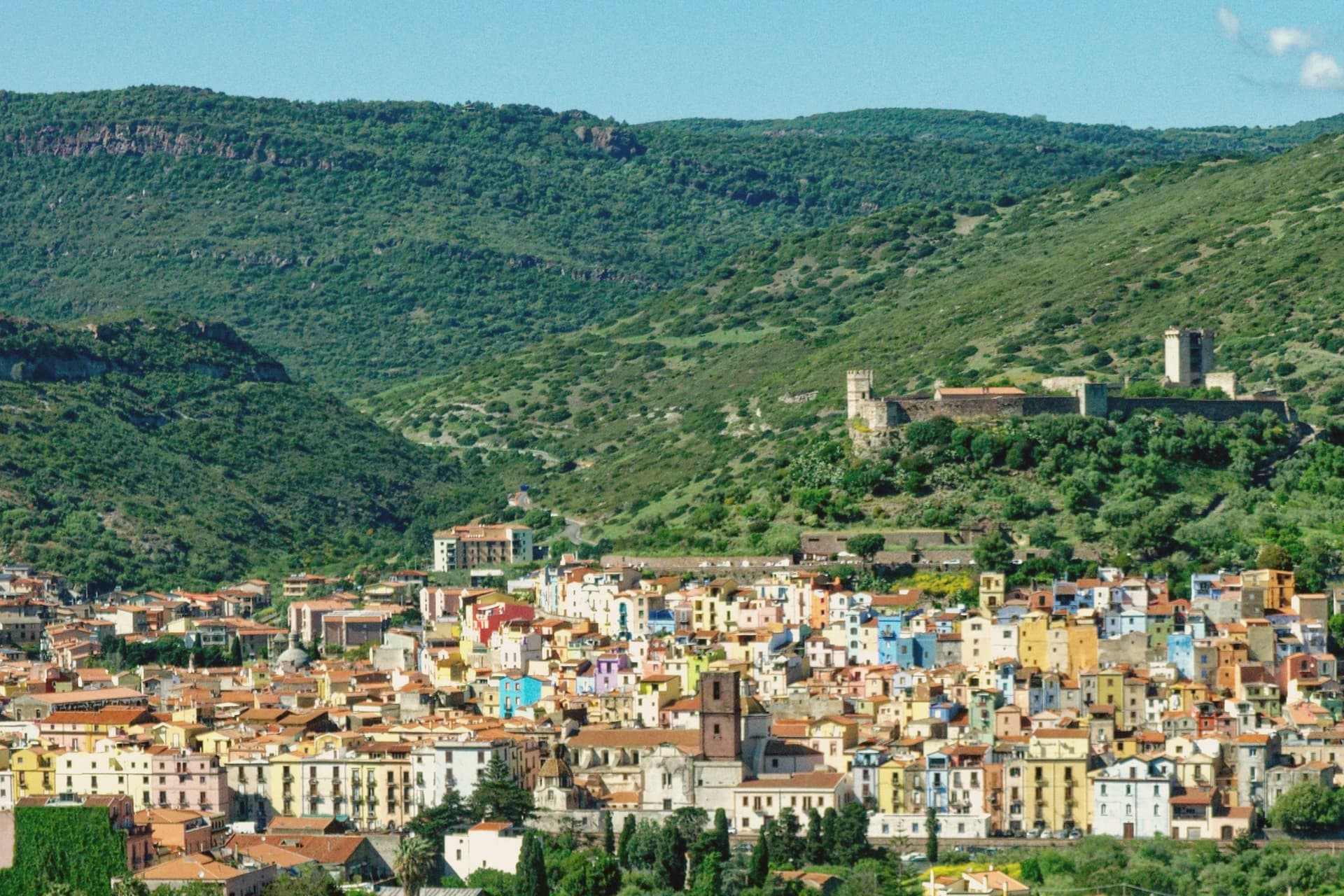
Bosa sits three kilometres inland from the western coast of Sardinia, on the north bank of the Temo, the only navigable river on the island. The Castello di Serravalle, built around the second half of the thirteenth century by the Tuscan Malaspina family of Spino Secco, dominates the town from the hill above the centro storico.
During the Sardinian-Catalan war the Aragonese described it as one of the noblest castles in the world and the key to the entire island. Below the castle, the houses of the Sa Costa quarter step down the slope in lines of pink, yellow, blue and green to the river.
On the opposite bank stretches Sas Conzas, the nineteenth-century tannery district, identical industrial buildings with stone soaking tanks where Bosa hides were processed for export. The Planargia hills behind the town produce Malvasia di Bosa DOC, one of Sardinia's classic sweet wines, alongside olive oil.
What to see in Bosa
- Castello di Serravalle (o dei Malaspina). Thirteenth-century castle built by the Tuscan Malaspina family on the hill above the Temo, with the small chapel of Nostra Signora de sos Regnos Altos in its enclosure.
- Sa Costa. Old quarter of pink, yellow and blue houses climbing the slope from the river to the Malaspina castle, the postcard image of Bosa.
- Sas Conzas. Nineteenth-century riverside district of identical tannery buildings on the south bank of the Temo, an industrial heritage site with original stone soaking tanks.
How to get to Bosa
Sassari is roughly 85 minutes away by road.
Our tip
May through October is the working season on the Temo: river boat trips, the castle climb, the colour-washed quarter, the Malvasia tastings in the Planargia. July and August push past thirty-two degrees and the centro storico empties between two and five each afternoon. April and the second half of October are dry and mild, the right window for the Sas Conzas walk and the cliffs of the Capo Marrargiu coast. Attoppa a camasinu! falls in August.
Oristano
Why visit Oristano
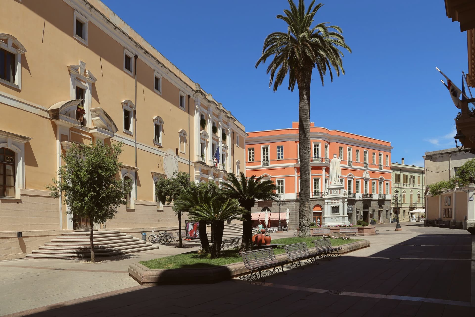
Oristano sits at the mouth of the Tirso river on the Campidano plain, five metres above sea level, looking onto the gulf that carries its name. The city replaced the ancient Phoenician-Roman port of Tharros and became the capital of the Giudicato di Arborea in 1076, the central-western Sardinian state that survived from 900 to 1420.
Eleonora d'Arborea governed as regent from 1383 to 1403 and issued the Carta de Logu, one of the most advanced medieval law codes in Europe, in force on the island for four centuries. Each Carnival the city stages Sa Sartiglia, an equestrian joust at the ring whose lead rider, Su Componidori, is dressed and unmasked according to a fixed sixteenth-century ritual.
The Torre di Mariano II and the Antica Cattedrale di Santa Maria Assunta mark the medieval centre. The coast at Torregrande, six kilometres west, carries the Bandiera Blu rating.
Craf da Banana have been named by a guide.
What to see in Oristano
- Torre di Mariano II (Torre di San Cristoforo). Late thirteenth-century medieval tower built by Mariano II d'Arborea on Piazza Roma, one of the surviving fragments of the old city walls.
- Cattedrale di Santa Maria Assunta. Medieval cathedral on Piazza Duomo, rebuilt in the eighteenth century, with the octagonal bell tower retaining its earlier majolica-tiled cap.
- Antiquarium Arborense. Civic museum with the most important collection of Punic-Roman finds from Tharros and medieval material from the Giudicato of Arborea.
How to get to Oristano
There is a railway station in the town, so you can arrive without a car and never need one while you are here. Cagliari is roughly 81 minutes away by road.
Our tip
May through October is the working season on the Campidano coast: warm dry days, Torregrande open, the wetlands of the Sinis full of flamingos. July and August touch thirty-five degrees on the plain and the centre empties between two and five each afternoon. April and the second half of October hold the gold light and the dry warmth that suits Tharros and the cathedral walks. La Sartiglia falls in February.
Alghero
Why visit Alghero
Alghero sits on the northwestern coast of Sardinia at the head of its own bay. The Doria of Genoa founded it in 1102.
The Catalan-Aragonese took it in 1353, expelled the Sardinians and Ligurians, and in 1354 Peter IV of Aragon repopulated the town with Catalan settlers. Four centuries of Catalan, then Spanish, rule left a language behind: about 24 percent of the population still has Algherese Catalan as a mother tongue, and 88 percent understand it, a fact that keeps the walled old town legible as something other than a museum piece.
Eleven kilometers west, the coast rises into a limestone promontory and the natural park around it, the point where the city's own bay gives way to open cliff. North of the city, Vermentino and Cannonau vineyards carry both Città del Vino and Città dell'Olio designations, a rural counterpart to the walled maritime center.
The town reads, then, as a layered thing: a Doria foundation overwritten by an Aragonese one, held between a fortified seafront and a wine country, with the language of the fourteenth-century settlers still spoken in the streets it was resettled to serve.
La Saletta, Il Pavone, Musciora and 3 more have been named by a guide.
What to see in Alghero
- Cattedrale di Santa Maria. Catalan Gothic building with a late Renaissance and Baroque interior, three naves inside, the bell tower a signature of the old town skyline.
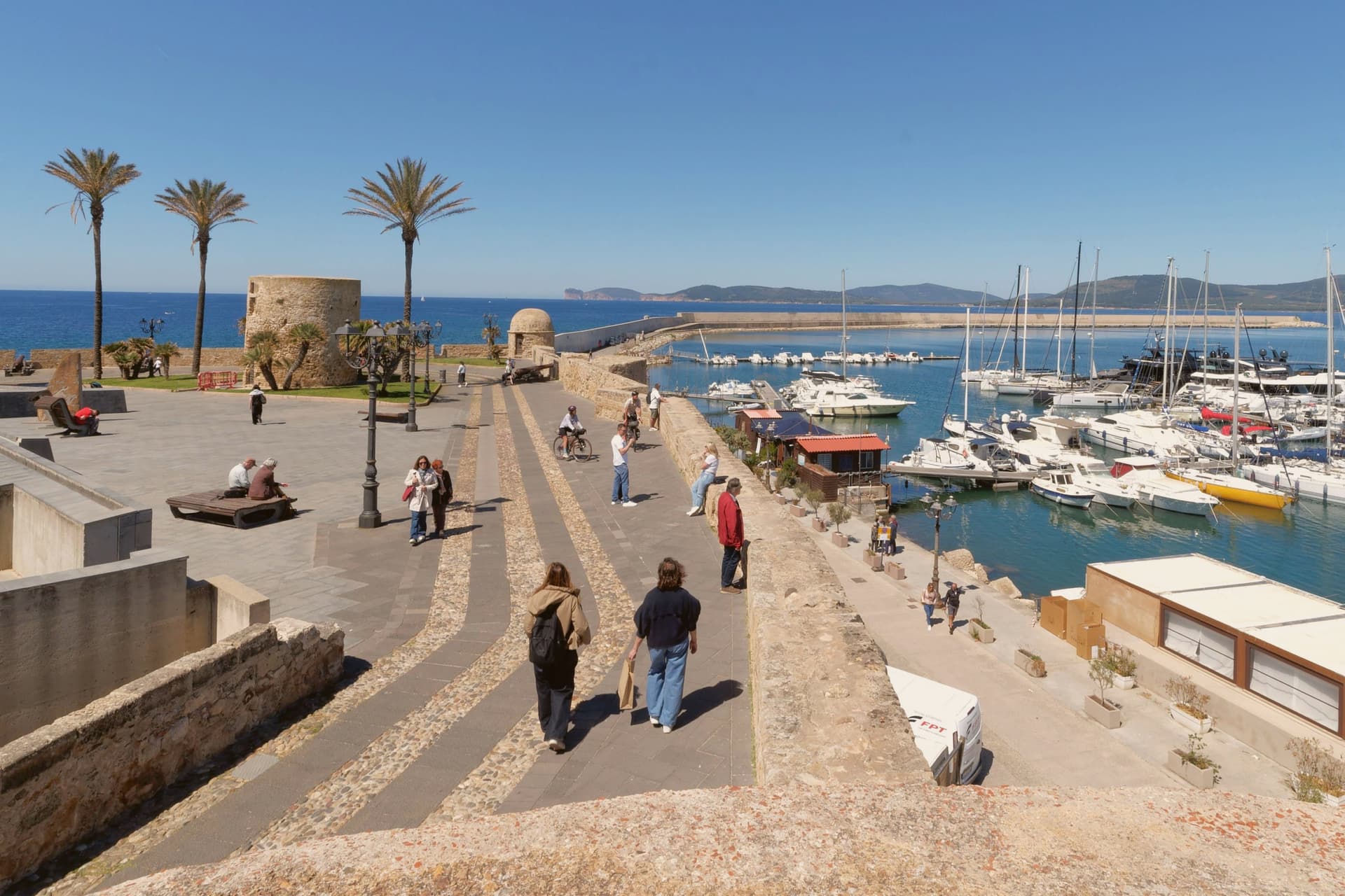
- Bastioni Marco Polo. Golden sandstone walls with a string of defensive towers, forming the seaward edge of the centro storico.
- Grotta di Nettuno. Karst cave at Capo Caccia with stalactites and underground pools, reached by the 656-step Escala del Cabirol or by boat from the marina.
How to get to Alghero
There is a railway station in the town, so you can arrive without a car and never need one while you are here. Sassari is roughly 35 minutes away by road.
Our tip
May through October is the season in Alghero. The bay opens, the ferries from Genova and Civitavecchia run full, and the centro storico fills with day-trippers and Catalan visitors who treat the place as a long-lost cousin. July and August are hot and crowded, with Capo Caccia and the Lazzaretto beaches reaching capacity by mid-morning. Oktoberfest Alghero falls in September.