The 10 best hidden wine towns in Sardegna
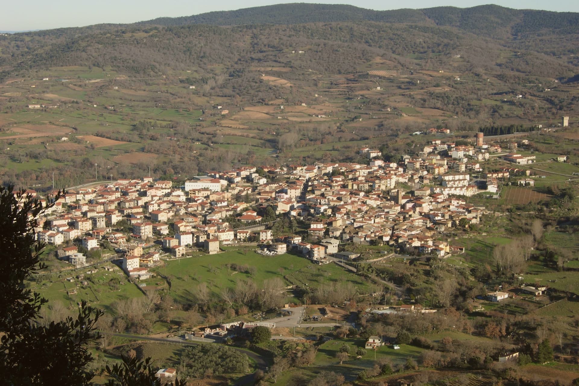
Sardinian wine tastes like the ground it comes from: Cannonau grown on schist and granite slopes in the Barbagia, dark and warm, poured young in village cellars; Vermentino from the sandy Gallura hills, saline and sharp enough to cut through a plate of grilled eel. The towns that make it are built of granite blocks and trachyte, with lanes narrow enough to keep the shade all afternoon and vineyards starting where the last house ends. Autumn is the season to go, when the vendemmia is on and the smell of must hangs around the courtyards, and roast pork, pane carasau and pecorino appear at village tables without much ceremony. Spring brings the almond blossom and the wild fennel, and the reds are still being tasted from the barrel.
People go to Sardinia for the sea, and mostly for one stretch of it. The Costa Smeralda draws the yachts, the beach clubs and the summer prices, and its restaurants sell Sardinian wine at Milanese rates to people who came for the water. It is beautiful and it is busy, and in July and August the road to it moves at walking pace. Almost nobody driving that road turns inland.
Turn inland and the same island keeps going, upwards into the Barbagia, the Ogliastra and the Gallura granite, where the vines are and where the wine towns are. Each of the towns here belongs to the national association of Italian wine-producing towns, which is the plain evidence that grapes matter locally rather than as a marketing line. Fewer travellers get this far, so the cellars are working ones and the tastings happen in the room where the wine is kept. These are the smaller places, and they are worth the detour from the coast.
Of the 41 communes we have mapped in Sardegna, 11 qualify as wine towns: each belongs to the national association of wine-producing towns. This list is the hidden ones, 10 in all, ordered smallest first. The smallest, Atzara, has 999 residents.
Two more lists worth reading alongside this one: The best small wine towns in Sardegna and The best wine towns in the province of Nuoro.
Atzara
Why visit Atzara
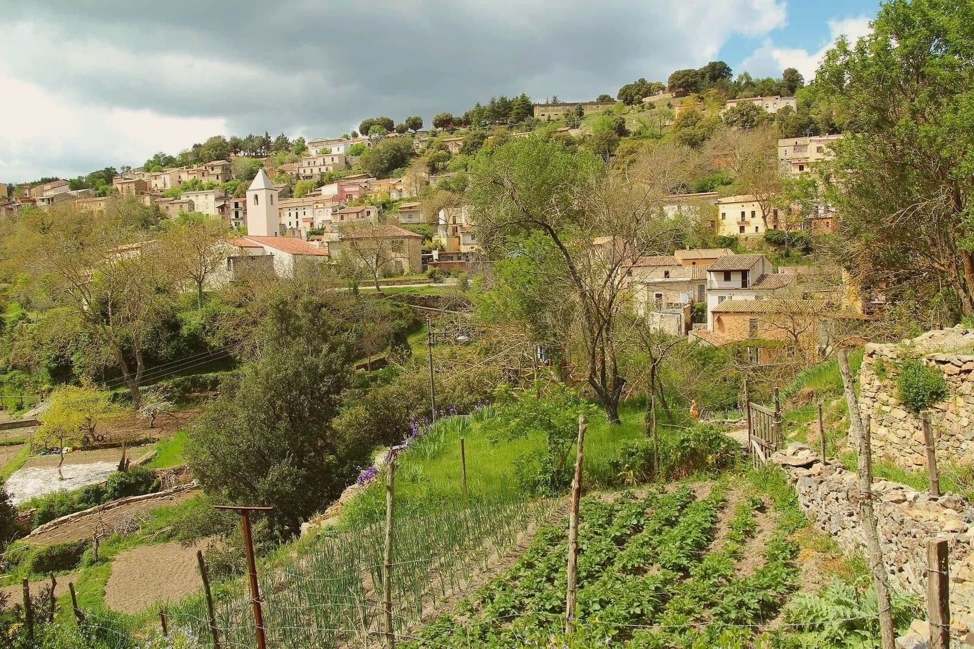
The Mandrolisai sub-region sits at the geographic centre of Sardinia, and Atzara occupies its western edge on the slopes that rise toward the Gennargentu, with the boundary of the national park running close to the eastern side of the commune. The village built its name first on wine: the volume and quality of the Mandrolisai blend was already established in the nineteenth century, before any painter arrived.
What changed at the turn of the twentieth century was who was looking at the place. Visiting artists found in the stone houses and the lanes of dark basalt and granite a ready subject for peasant scenes, and the school that grew out of their stay took the village's name.
The wine economy and the painting school are not separate stories so much as two outputs of the same setting: a farming village at altitude, built of local stone, whose ordinary life became the material for a documented artistic movement. What the town has kept, in its museum, its unchanged centro storico and its parish church, is the physical record of both.
The comune belongs to the national association of wine-producing towns.
What to see in Atzara
- Museo d'Arte Moderna e Contemporanea Antonio Ortiz Echagüe. Civic museum holding works by the Spanish costumbristas and the Sardinian painters of the Scuola di Atzara, including Antonio Ballero and Filippo Figari.
- Centro storico di Atzara. Stone houses of dark basalt and granite along narrow lanes, the model the painters used at the start of the twentieth century.
- Chiesa di Sant'Antioco Martire. Parish church in the heart of the village, built in Aragonese-Catalan late Gothic style with later modifications.
How to get to Atzara
Cagliari is roughly 103 minutes away by road.
Our tip
April through June and September through November are the dry, mild months at 553 metres, the right season for Mandrolisai cellar visits and walks toward the Gennargentu. July and August touch thirty degrees in the village and the vineyards switch to early-morning work. Winter is cold and quiet, with snow possible on the peaks above. I giorni del Mandrolisai falls in June.
Badesi
Why visit Badesi
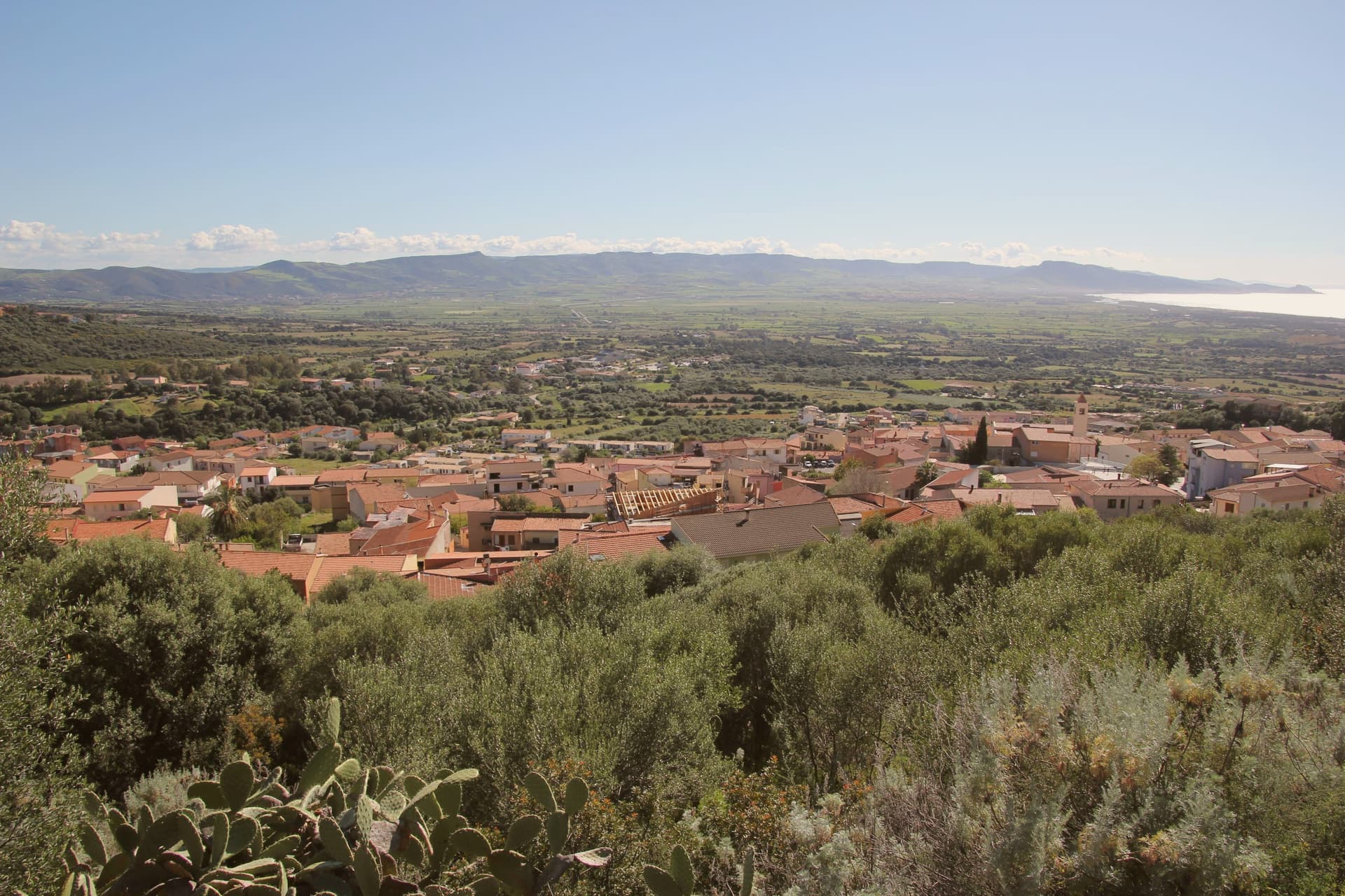
Badesi sits on a hill at 102 meters above the Gulf of Asinara, its municipal territory running north to the dunes and down to the river that forms the natural boundary between Gallura and Anglona. The village formed in the eighteenth century, when shepherding families settled in a Spanish baron's fief and gathered around the parish church built in the early twentieth century.
Badesi became an autonomous comune in 1969, later than the settlement itself, which had already taken shape around the church a generation before. The pattern of the place follows this same line from hill to water: a village core inland, vineyard hillsides around it, and a coastal strip of dunes and river mouth at the far edge of the same territory, held together by the Coghinas, which both feeds the wetlands and marks where Gallura gives way to Anglona.
What began as a shepherding settlement in a feudal fief has ended up governing a stretch of coast and river protected for its water quality and its birdlife, the same land put to grazing now carrying a wine designation and a conservation status instead.
The comune belongs to the national association of wine-producing towns.
What to see in Badesi
- Spiaggia di Li Junchi. Eight-kilometer beach of fine white sand and juniper-covered dunes from Isola Rossa to the Coghinas mouth, holder of the Bandiera Blu.
- Vermentino di Gallura vineyards. Hilltop vineyards inside the only DOCG zone in Sardinia, white-wine producers concentrated north and west of the village.
- Foce del Coghinas. River mouth marking the boundary between Gallura and Anglona, an EU-protected site for migratory birds nesting in the reed beds.
How to get to Badesi
Sassari is roughly 53 minutes away by road.
Our tip
May through October is the season at Li Junchi. The sea is swimmable from mid-May, the dunes are walkable, and the vineyards on the hills above the beach work through their cycle from flowering to September harvest. July and August are crowded with Italian, German, and French families, and the Delphina resorts above the dunes fill. Sagra delle lumache falls in July.
Galtellì
Why visit Galtellì
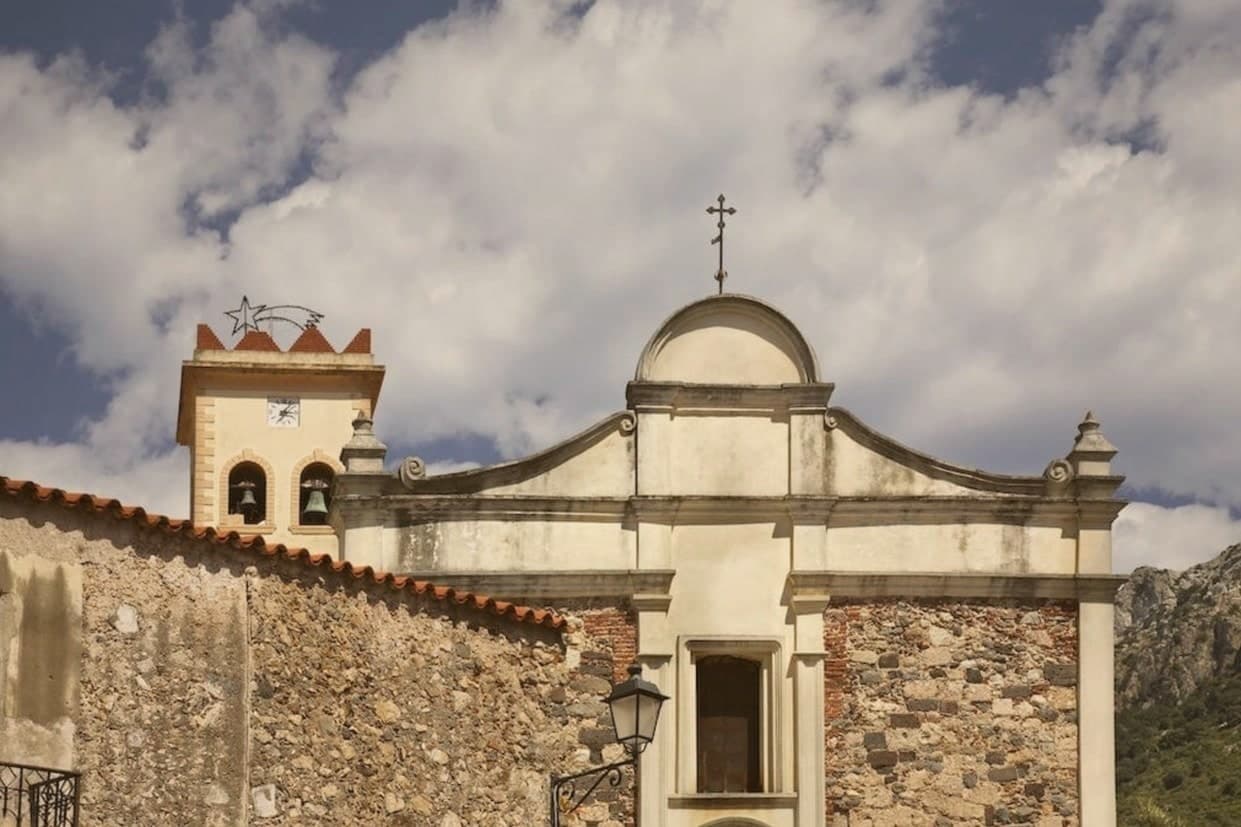
Galtellì sits in the Baronia, the stretch of Sardinia's northeast between the Cedrino river and the Tyrrhenian coast, with the old centro gathered close under the limestone massif and the newer edges of the village running out toward the river plain. The name Baronia marks the district rather than the town; Galtellì is its historic seat, the place where the medieval diocese was based before the seat merged into Cagliari's in 1495.
Grazia Deledda (Literature, 1926, the first Italian woman to win) spent multiple summers here as a girl from neighbouring Nuoro, and she kept the geography of Canne al vento so close to the real village that the wind, the reeds along the Cedrino, the Pintor family's crumbling palazzo and the Chiesa del Santissimo Crocifisso she wrote about can all still be located on the ground. That fidelity is why the whole centro storico now functions as a literary park rather than a single museum or house, with a marked route through more than 30 locations from the 1913 novel and quoted passages on bilingual signs: the novel's setting and the town's actual layout are treated as the same map.
Beyond the Deledda material, the medieval town still holds a partial circuit of walls and the 13th-century Chiesa di San Cristoforo alongside the cathedral and the frescoed church. The village also carries the Borgo Autentico, Bandiera Arancione and Città del Vino marks together, the Sardinian small-village trifecta, the last of these tied to the Cannonau and Vermentino di Galluria grown in the surrounding Baronia and poured each October at the Sagra del Vino.
Behind the village, the massif known locally as Monte Tuttavista rises as a vertical limestone wall, drawing climbers to its 200-plus routes and walkers to the three-hour summit hike. Down toward the coast, 12 km east, the Cala Liberotto and Bidderosa reserves offer some of the cleanest swimming on this side of the island, a reminder that the Baronia runs from mountain to sea in a short distance.
The food follows the same inland-Sardinian line as the rest of the district: porceddu, seadas, pane carasau, malloreddus alla campidanese, Cannonau red. Like most Sardinian small villages, Galtellì has shrunk, from 3,200 residents in 1951 to 2,354 today.
What holds the place together, more than the population figures, is the coincidence of geography and literature: a village small enough that its real streets and a Nobel-trajectory novel's setting are, for practical purposes, the same map.
The comune belongs to the national association of wine-producing towns.
What to see in Galtellì
- Parco Letterario Grazia Deledda. Marked walking route through 30+ locations from Canne al vento (1913), including the Pintor family's crumbling palazzo and the river reeds along the Cedrino, with quoted passages on bilingual signs at each spot.
- Cattedrale di San Pietro (11th c). Romanesque, with original stone. Served as the original seat of the diocese of Galtellì before the 1495 merger with Cagliari, and stands today as the anchor of the old centro.
- Chiesa del Santissimo Crocifisso + 1492 frescoes. 15th-c Catalan-Gothic church with a complete cycle of frescoes from 1492 depicting the Passion of Christ in Aragonese-Sardinian provincial-school style. Rare survival, and one of the settings Deledda wrote into her novel almost unchanged.
How to get to Galtellì
Sassari is roughly 138 minutes away by road.
Our tip
Galtellì is best April–June and September–October — the Baronia summer is hot inland but the Cala Liberotto beach 12 km east stays swimmable May–October. October is harvest in the Cannonau cellars + the Sagra del Vino. Winter is mild and the centro is at its most atmospheric for the Parco Letterario Deledda walk.
Mamoiada
Why visit Mamoiada
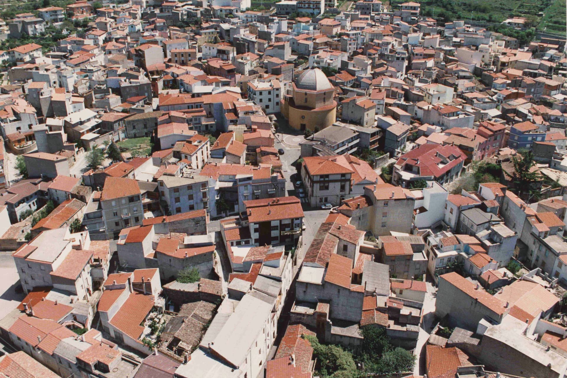
Mamoiada sits at 644 meters in the Barbagia di Ollolai, fifteen kilometers south of Nuoro on a granite plateau under the Gennargentu. The village is known for two things.
The first is the Mamuthones, masked figures who walk in two parallel lines through the streets on the feast of Sant'Antonio Abate on January 17 and on the Sunday and Tuesday of Carnival. Each Mamuthone wears a black carved wooden mask, a heavy sheepskin and roughly thirty kilos of cowbells on his back, escorted by the Issohadores in white masks who lasso onlookers from the crowd.
The Museo delle Maschere Mediterranee, opened in 2001, sets the rite in a comparative Mediterranean frame. The second thing is Cannonau.
Mamoiada's granite hills produce some of the highest-rated Cannonau in Sardinia, with a handful of small estates working old bush-trained vines at altitude.
The comune belongs to the national association of wine-producing towns.
What to see in Mamoiada
- Museo delle Maschere Mediterranee. Museum opened in 2001 documenting the Mamuthones and Issohadores alongside masked carnival traditions across the Mediterranean basin.
- Carnevale di Mamoiada. Annual masked procession on January 17 and Carnival Sunday and Tuesday, with Mamuthones in black sheepskins and Issohadores in white masks.
- Cannonau di Mamoiada. Roughly 30 small estates producing Cannonau on granite slopes between 500 and 800 meters, several with cellar visits by appointment.
How to get to Mamoiada
Sassari is roughly 123 minutes away by road.
Our tip
January 17 is the calendar event. The Mamuthones walk that night and then again on Carnival Sunday and Tuesday, usually in early February. April through June and September through November are the comfortable months at 644 meters: cool nights, walkable trails, vineyard visits at the small Cannonau estates.
Samugheo
Why visit Samugheo
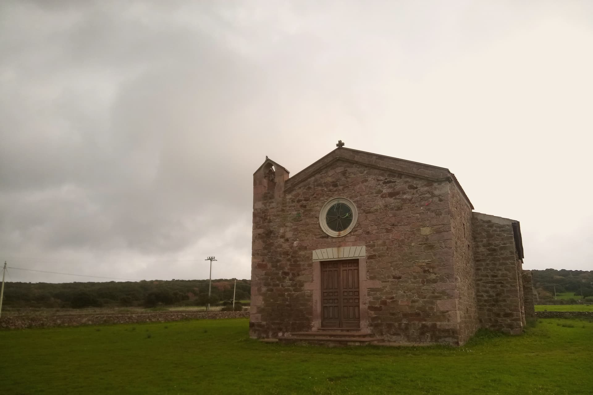
Samugheo sits 35 km east of Oristano, in the granite-soil heart of inland Sardinia, in the Mandrolisai district. The centro is built of granite-stone houses, and within it stand the Chiesa di San Sebastiano and the parish church of Santa Maria Assunta, which underwent restoration of its own.
Both churches give the weaving quarter a frame that is older than its textile institutions, a reminder that the borgo's civic and religious life ran well before the museum and the biennale arrived. The surrounding Mandrolisai DOC zone reaches across seven villages, among them Atzara, Sorgono, Tonara and Desulo, with Samugheo holding the largest share of the zone's production by volume: a wine town as well as a weaving one, and a Città del Vino to match its Borgo Autentico standing.
To the east the land rises into the Barbagia di Belvì and the Gennargentu mountains; to the west the Tirso river valley opens toward the Sinis coast, where the Tharros site and the Cabras Bronze Age statues lie some 50 km distant, a different Sardinia of sea and ruins set against the inland granite the town is built from. The table follows the same inland logic: porceddu, pane carasau, su gattou, seadas and pecorino sardo, with the Mandrolisai DOC red the standing accompaniment, poured from vines rooted in the same ground the weavers' houses stand on.
The museum documents the wider island's weaving traditions as much as the town's own, the biennale pulls in makers from outside Sardinia, and the January procession puts the local weave on the street rather than behind glass: three different ways the same craft is kept in circulation, institutional, international, and lived.
The comune belongs to the national association of wine-producing towns.
What to see in Samugheo
- MURATS — Museo Regionale Arte Tessile Sarda. Housed in the former Convento dei Cappuccini, with pieces ranging from historical weaving to contemporary commissions covering the full spread of Sardinian textile traditions, not only Samugheo's own knot-stitch but lace, carpet and sail-weaving styles from elsewhere on the island.
- Active weaver workshops. Pedal looms still running in workshops scattered through the centro, open to visits and direct commissions rather than confined to a museum setting.
- Tessingiu biennale (next 2026). Opens biennially in the MURATS spaces with international invited weavers and works commissioned for the occasion, drawing exhibitors from outside Sardinia into the same rooms that hold the permanent collection.
How to get to Samugheo
Cagliari is roughly 109 minutes away by road.
Our tip
Samugheo is best April–June and September–October. The Sardinian inland summer is hot (35°C+) but workshops + the MURATS stay open. The Tessingiu biennale (next 2026) is the year's main draw when it runs. Tessingiu - Mostra dell'artigianato sardo falls in July.
Jerzu
Why visit Jerzu
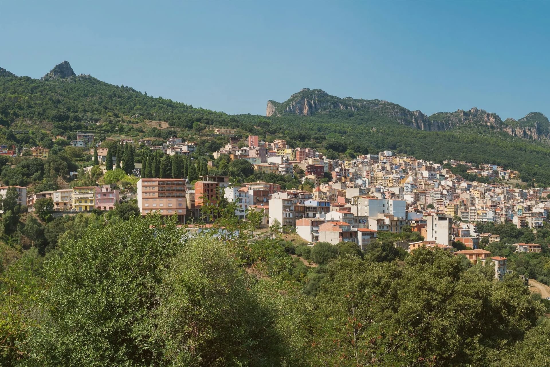
Jerzu sits on the eastern flank of the Ogliastra interior, the village gathered below the limestone wall of Monte Corongiu. The name first appears in a document from 1130 recording a donation of vineyards, and by the 16th century the wine was being shipped across the Alps.
The mountain itself carries a longer history than the village at its foot: a Punic necropolis is cut into its lower slopes, predating the medieval settlement below by centuries. The town's life still runs between these two poles, the vineyards on the lower ground and the mountain rising behind them.
The Antichi Poderi Jerzu cooperative vinifies most of the local crop, and the Sagra del Vino on the first Sunday of August brings carts and traditional dress into the streets, with the parish church at the center of the processions. Jerzu reads as a village organized around a single crop and a single peak, its wine trade and its landscape sharing the same slopes for centuries.
The comune belongs to the national association of wine-producing towns.
What to see in Jerzu
- Monte Corongiu. Marked footpaths climb the limestone butte above the village, passing a Punic necropolis on the lower slopes before reaching the summit views.
- Cantina Antichi Poderi Jerzu. Cooperative winery grouping roughly 350 Cannonau growers, the largest producer of Jerzu sub-zone wine.
- Chiesa di Sant'Erasmo. Parish church of the village, the focal point of the August feast of Sant'Antonio and the wine festival processions.
How to get to Jerzu
Cagliari is roughly 180 minutes away by road.
Our tip
April through June is the best window: vineyards in leaf, mild temperatures at 450 meters, and trails on Monte Corongiu open without summer heat. September through November is the second window, lining up with the Cannonau harvest in late September and the cooler autumn light. Summer touches the mid-thirties and the village empties between two and six in the afternoon. Sagra del Vino a Jerzu falls in August.
Oliena
Why visit Oliena
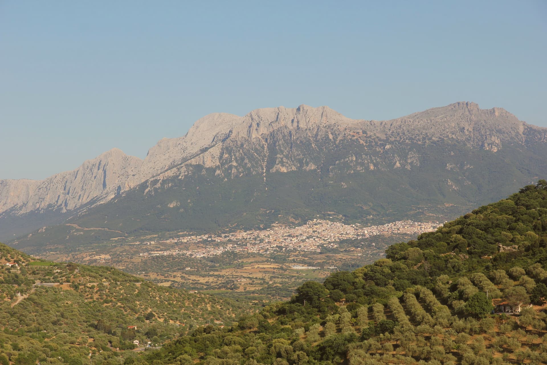
Oliena sits at 380 metres on the western flank of the massif, in the interior of the Nuoro province. The village is the main inhabited base for one of the wildest karst landscapes in Italy: the Lanaitto valley below the town conceals the collapsed doline that hides the Tiscali village, and the caves of Sa Oche and Su Bentu, whose river runs for one of the longest stretches underground of any in Italy.
Monte Corrasi stands over all of it, the high point of the Supramonte, with the spring rising at the foot of a neighbouring peak just east of the centre. Olive groves and almond orchards fill the valley below the cliffs, and the Cannonau grown on these slopes becomes the Nepente di Oliena, the wine D'Annunzio named for Olympus.
The village belongs to the Parco Nazionale del Gennargentu zone and holds the Bandiera Arancione of the Touring Club Italiano. What holds the place together is the relation between the heights and the valley floor: a limestone wall that produces caves, a hidden village and a river underground, and beneath it a strip of cultivated ground that has made the wine and the oil while the mountain keeps the rest concealed.
The comune belongs to the national association of wine-producing towns.
What to see in Oliena
- Monte Corrasi. The peak rises directly above the village, a long climb from town and the dominant presence on the skyline in every direction.
- Su Gologone. The spring sits at the foot of Monte Uddè, its water surfacing already emerald-green rather than gathering colour downstream.
- Villaggio nuragico di Tiscali. Bronze Age village of circular huts hidden inside a collapsed karstic doline on Monte Tiscali, reached on foot through the Lanaitto valley.
How to get to Oliena
Sassari is roughly 138 minutes away by road.
Our tip
April through June and September through November are the working months: dry warmth on the cliff face, water still in the Gologone, hiking conditions for Tiscali and the Lanaitto valley. July and August push past thirty-five degrees on the lower slopes and most serious walkers leave the Supramonte alone between eleven and four. Winter is quiet, with snow possible above 1,200 metres on Corrasi and the village turning to its olive harvest in November.
Bosa
Why visit Bosa
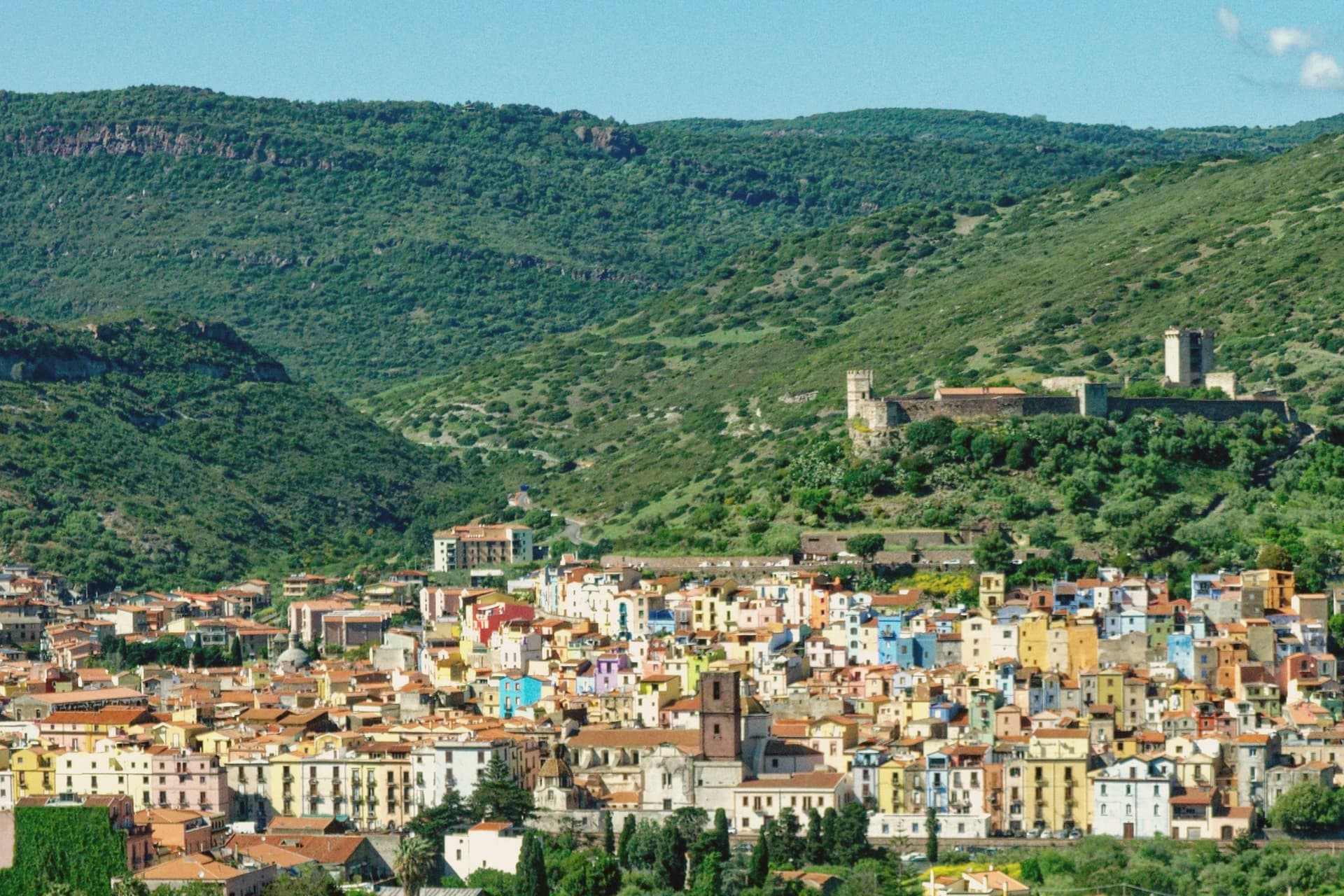
Bosa sits three kilometres inland from the western coast of Sardinia, on the north bank of the Temo, the only navigable river on the island. The Castello di Serravalle, built around the second half of the thirteenth century by the Tuscan Malaspina family of Spino Secco, dominates the town from the hill above the centro storico.
During the Sardinian-Catalan war the Aragonese described it as one of the noblest castles in the world and the key to the entire island. Below the castle, the houses of the Sa Costa quarter step down the slope in lines of pink, yellow, blue and green to the river.
On the opposite bank stretches Sas Conzas, the nineteenth-century tannery district, identical industrial buildings with stone soaking tanks where Bosa hides were processed for export. The Planargia hills behind the town produce Malvasia di Bosa DOC, one of Sardinia's classic sweet wines, alongside olive oil.
The comune belongs to the national association of wine-producing towns.
What to see in Bosa
- Castello di Serravalle (o dei Malaspina). Thirteenth-century castle built by the Tuscan Malaspina family on the hill above the Temo, with the small chapel of Nostra Signora de sos Regnos Altos in its enclosure.
- Sa Costa. Old quarter of pink, yellow and blue houses climbing the slope from the river to the Malaspina castle, the postcard image of Bosa.
- Sas Conzas. Nineteenth-century riverside district of identical tannery buildings on the south bank of the Temo, an industrial heritage site with original stone soaking tanks.
How to get to Bosa
Sassari is roughly 85 minutes away by road.
Our tip
May through October is the working season on the Temo: river boat trips, the castle climb, the colour-washed quarter, the Malvasia tastings in the Planargia. July and August push past thirty-two degrees and the centro storico empties between two and five each afternoon. April and the second half of October are dry and mild, the right window for the Sas Conzas walk and the cliffs of the Capo Marrargiu coast. Attoppa a camasinu! falls in August.
Dorgali
Why visit Dorgali
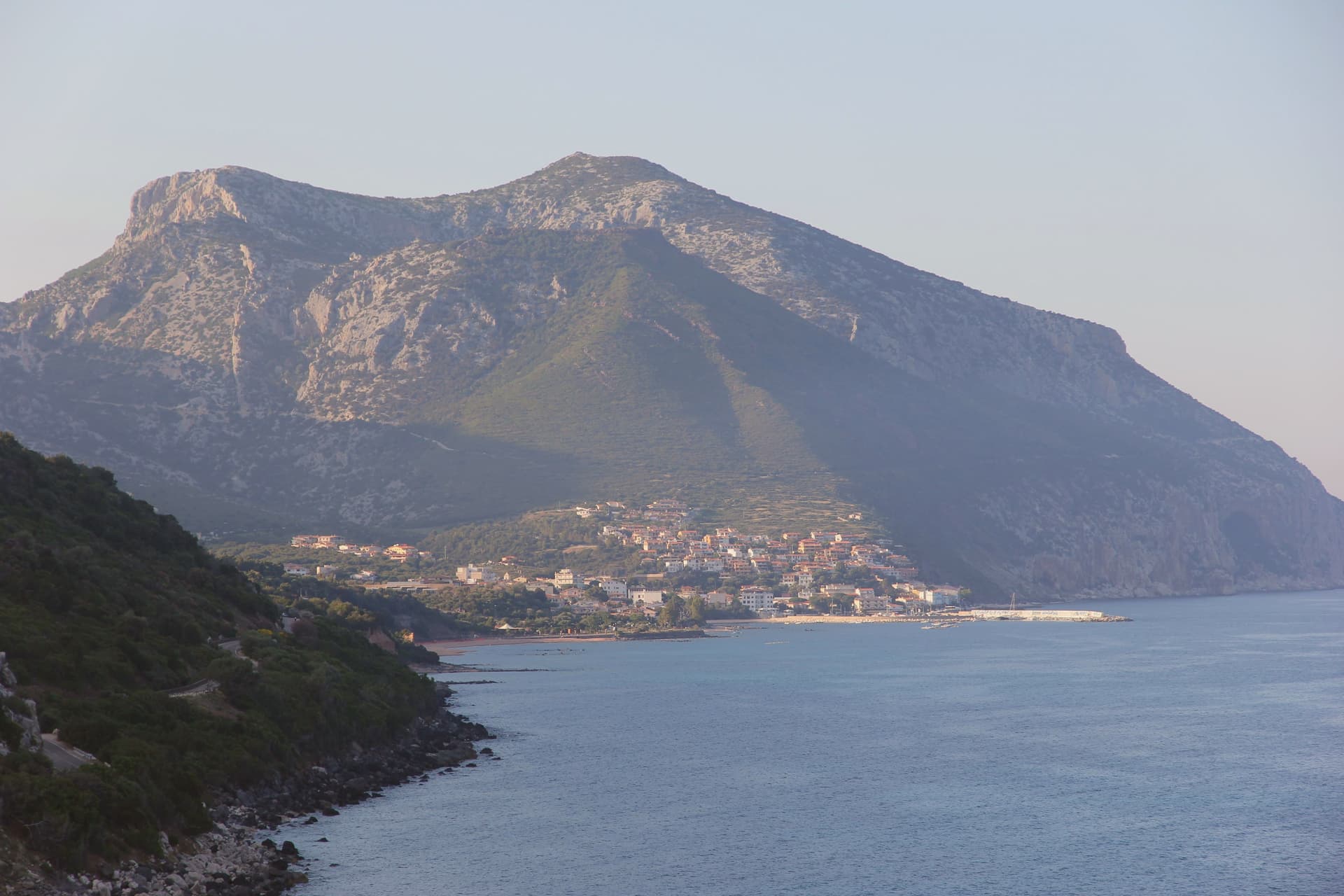
Dorgali sits on the seaward side of the Supramonte, ten kilometers from the coast, its municipal territory covering 225 square kilometers, one of the largest in the province of Nuoro. The coastal frazione holds a thousand residents in winter and fifteen thousand in August, facing the Gulf of Orosei from a small bay reached by a tunnel through the limestone.
North of the town, a sinkhole opens into the massif, the ground beneath it inhabited across centuries before the first millennium BC. South of the town, a river has cut through the same limestone to leave one of the deepest canyons in Europe, its walls holding a plant found nowhere else.
The Cantina Sociale di Dorgali, founded in 1953, vinifies 90 percent of its production from Cannonau across 550 hectares of vineyards in the surrounding communes. The whole territory lies inside the Parco Nazionale del Golfo di Orosei e del Gennargentu.
What connects the coast, the sinkhole, and the gorge is the same limestone mass, worn by water into a cave dwelling in one place and a canyon in another, with the town itself set at the point where the massif starts its descent to the sea.
The comune belongs to the national association of wine-producing towns.
What to see in Dorgali
- Villaggio nuragico di Tiscali. Bronze Age village at 518 metres, reached by two hours of hiking through Supramonte limestone before the sinkhole opens underfoot.
- Gola di Su Gorropu. Walls rising sheer from the canyon floor, among the deepest gorges in Europe, the gorge narrow enough that daylight reaches the bottom for only part of the day.
- Cala Gonone. Coastal frazione of Dorgali on the Gulf of Orosei, ten kilometers from the town, the harbor for boat access to the wild beaches south.
How to get to Dorgali
Sassari is roughly 156 minutes away by road.
Our tip
April through June and September through November are the months for Dorgali. The Tiscali hike and Su Gorropu canyon need cool air; mid-July to mid-August on the Supramonte routinely passes thirty-five degrees and the trails close to organized groups. Cala Gonone is the inverse: May through October is the boat season for the Gulf of Orosei coves, and the Cala Luna ferries run on a fixed schedule.
Tempio Pausania
Why visit Tempio Pausania
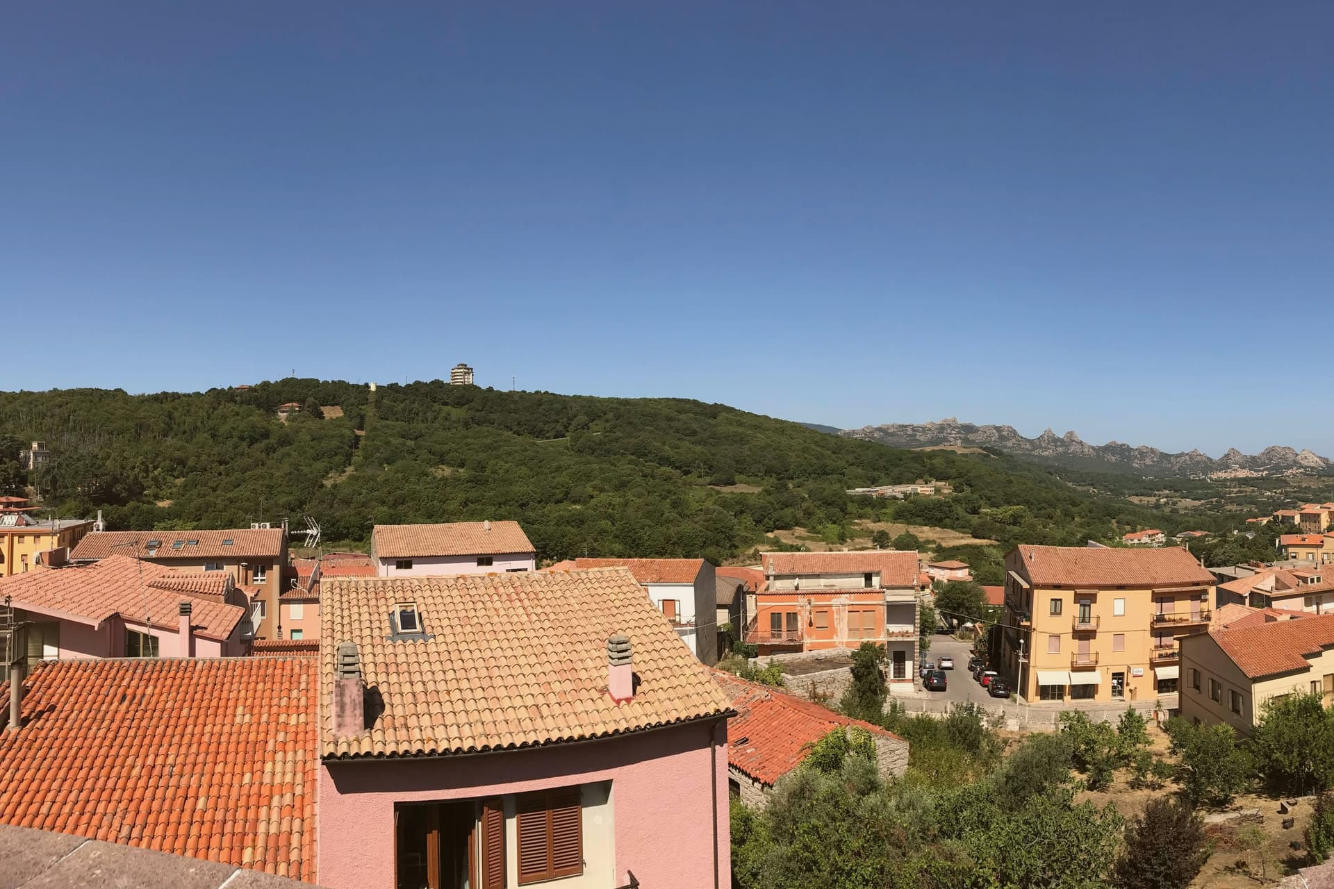
Tempio Pausania sits at 566 metres in central Gallura, at the foot of Monte Limbara, the 1,359-metre granite massif that anchors the north of the island. Almost every building in the centro storico is constructed from the grey-pink granite of the surrounding territory: noble palaces, ordinary houses, paving and kerbstones alike, the reason for the nickname città di pietra.
The town shares the role of provincial capital of Gallura Nord-Est Sardegna with Olbia. It was the seat of the ancient diocese of Phausania and added Pausania to its medieval name Templo in 1879.
The Cattedrale di San Pietro Apostolo, with a core from the early thirteenth century and a facade renovation between 1832 and 1839, sits at the centre. The Fonti di Rinaggiu, mineral springs known since Roman times for their therapeutic properties, run on the outskirts.
The Carnival of Tempio, the carrasciali timpiesu, draws around 100,000 visitors between February and March. Cork, granite and Vermentino di Gallura DOCG form the economic core.
The comune belongs to the national association of wine-producing towns.
What to see in Tempio Pausania
- Cattedrale di San Pietro Apostolo. Cathedral of the diocese of Tempio-Ampurias, original layout from the early thirteenth century, current facade and bay added in renovations of 1832-1839.
- Centro storico di Tempio Pausania. Old town built entirely of grey-pink Gallurese granite, palaces, houses and paving cut from the same quarries, the basis of the città di pietra nickname.
- Fonti di Rinaggiu. Mineral and thermal springs on the outskirts known since Roman times for diuretic properties, on a tree-lined avenue overlooking the Limbara.
How to get to Tempio Pausania
There is a railway station in the town, so you can arrive without a car and never need one while you are here. Sassari is roughly 97 minutes away by road.
Our tip
April through June and September through November are the working months at 566 metres: dry warmth on the granite, walks up the Limbara, cellar visits in the Gallura. July and August are warm but bearable thanks to altitude, with thirty to thirty-two degrees in the centro storico. The biggest event is the Carrasciali Timpiesu, the Carnival of Tempio, running between February and March with allegorical floats, masks and around 100,000 visitors.