The best hidden towns that eat well in Sardegna
Sardinian food splits between the sea and the interior, and the interior usually wins. Inland, it is roast suckling pig cooked over myrtle wood, pane carasau brittle as slate, malloreddus with sausage and saffron, pecorino aged until it bites back, and Cannonau poured young from unlabelled bottles. On the coast the register changes to bottarga grated over spaghetti, sea urchin in late winter, fregola with clams, and Vermentino from the granite slopes of Gallura. The towns themselves are built from what the island had to hand, trachyte, granite and limestone, whitewash in the south-west and dark stone in the mountains. Spring and autumn are the seasons to eat here, when the lamb, the artichokes and the new oil arrive and the dining rooms are not turning tables for beach crowds.
Most visitors arrive in summer and go straight to the Costa Smeralda, where Porto Cervo has the yachts, the beach clubs and the prices that follow them. It is beautiful water and there is good cooking, but August turns the whole strip into a queue, and the menus are written for people who will be there once. The same happens in the ports around Cagliari and Alghero, where the passeggiata restaurants trade on view rather than kitchen.
The island is large and the good cooking does not stop where the resorts end. Drive inland towards the Supramonte and the Barbagia, or along the north coast past the granite headlands, or south-west to the old Ligurian tuna towns, and you reach places where a national or international dining guide has named a table and the dining room still fills with people who live there. Fewer travellers make these detours, which is mostly a matter of distance from the airport. These are the towns on this list.
Of the 41 communes we have mapped in Sardegna, 11 qualify as towns that eat well: a national or international dining guide has named a table in each. This list is the hidden ones, 9 in all, ordered smallest first. The smallest, Santu Lussurgiu, has 2,215 residents.
Two more lists worth reading alongside this one: The best coastal towns that eat well in Sardegna and The 10 best hidden wine towns in Sardegna.
Santu Lussurgiu
Why visit Santu Lussurgiu
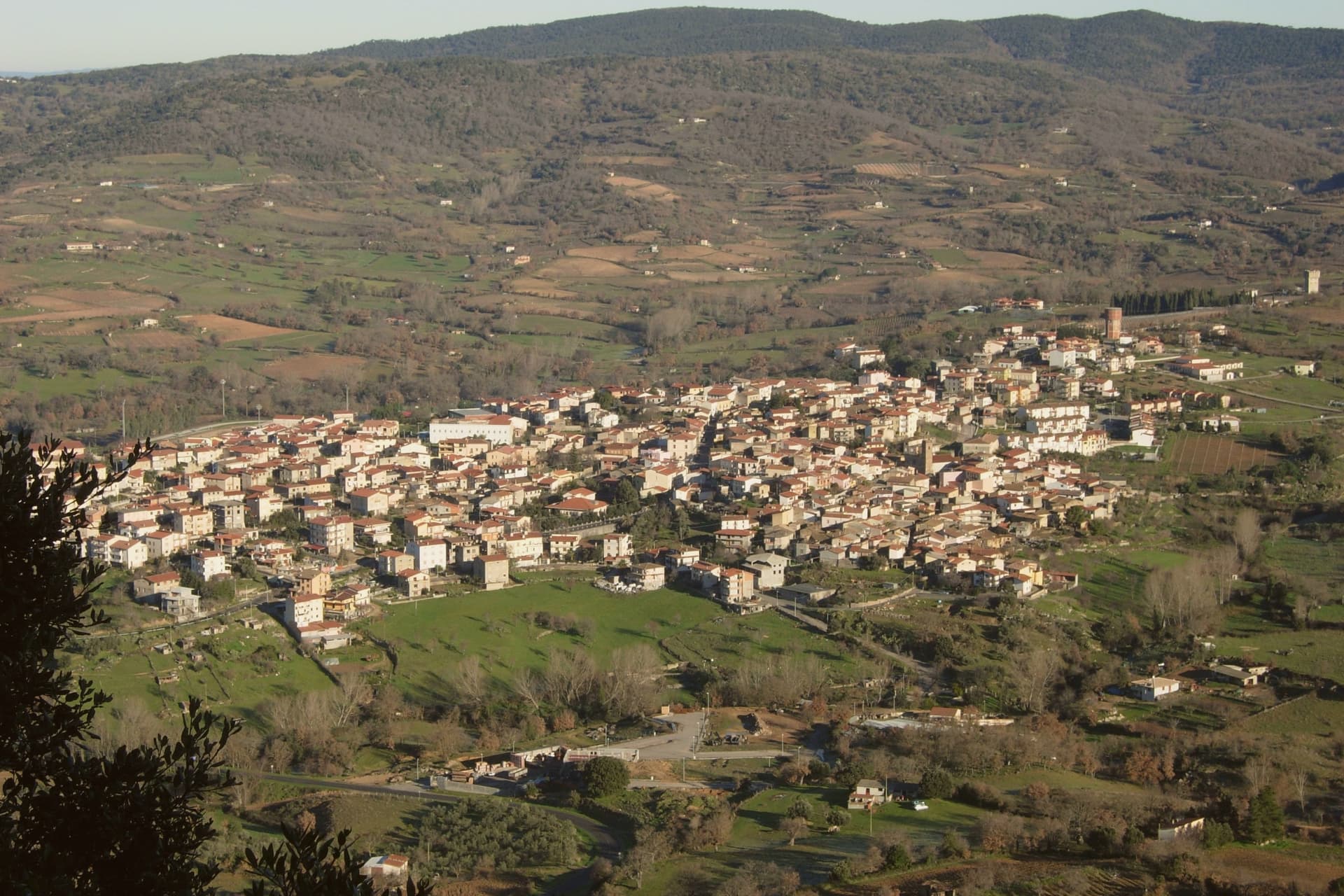
Santu Lussurgiu sits at 503 meters on the eastern slope of the Montiferru, the extinct volcano that defines the inland Oristano province. The village was named for Lussorio, a Roman soldier martyred in 303 under Diocletian.
Horses are the second name. The Giudicato of Arborea and the later Spanish viceroys both increased local breeding, and the village developed lines suited to racing.
Sa Carrela 'e Nanti, the Carnival horse race, runs across the last three days of Carnival each year, masked riders in pairs galloping down a steep stone street, an event placed alongside the Sartiglia of Oristano and the Ardia of Sedilo among the deep events of Sardinian folklore. The Spanu saddlery opened on the Corso in 1923 and is still run by the family.
The narrow Lussurgese horse collar, with a single row of bells, was designed for the racing gallop. The village rises into the Montiferru woods, with the Sos Molinos waterfalls a short drive uphill.
Antica Dimora del Gruccione have been named by a guide.
What to see in Santu Lussurgiu
- Sa Carrela 'e Nanti. Carnival horse race down a steep stone street, masked riders in pairs, held over the last three days of Carnival each year.
- Museo della Tecnologia Contadina. Ethnographic museum of rural Montiferru life, tools and crafts of the village before mechanization, in the centro storico.
- Chiesa parrocchiale di Santa Maria degli Angeli. Parish church of the village, the religious anchor of the medieval centro storico on the Montiferru slope.
How to get to Santu Lussurgiu
Sassari is roughly 91 minutes away by road.
Our tip
April through June is the green window in the Montiferru. The oak woods leaf out, the Sos Molinos waterfalls run full, and Santu Lussurgiu at 503 meters keeps mornings cool well into the warm months. September through November brings the second window, mushrooms in the woods and the cattle moved between pastures. Artes e Sabores falls in November.
Mamoiada
Why visit Mamoiada
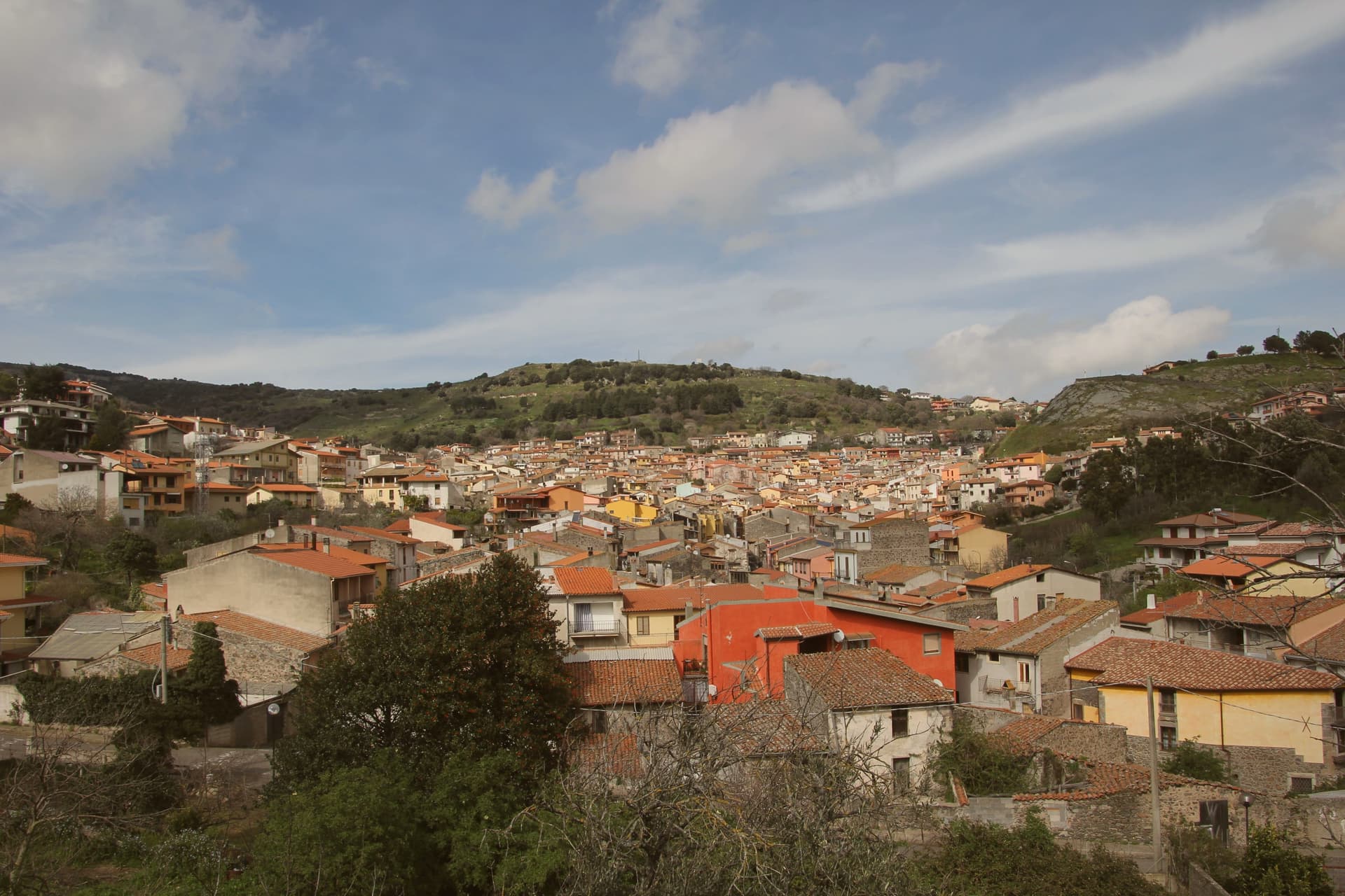
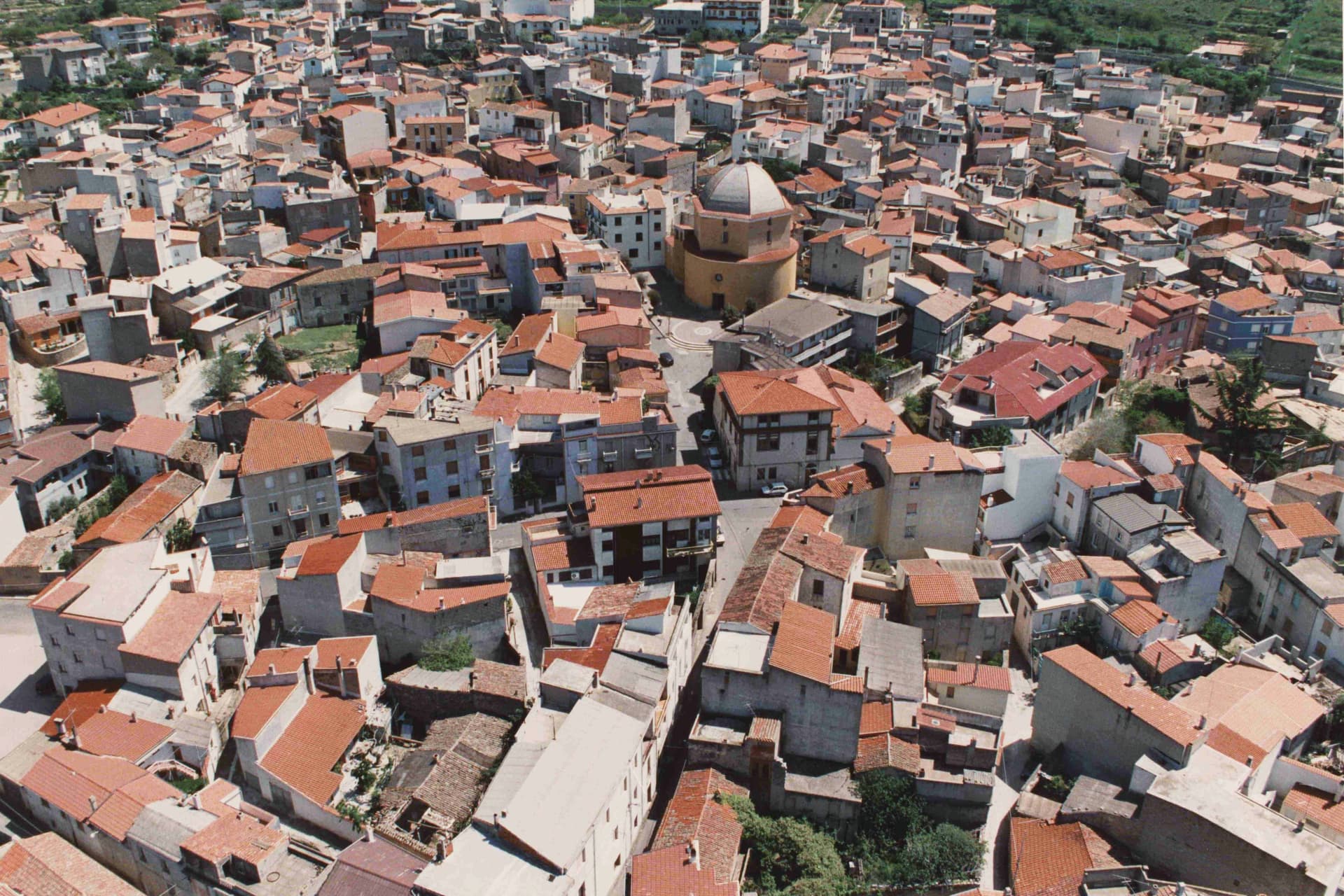
Mamoiada sits at 644 meters in the Barbagia di Ollolai, fifteen kilometers south of Nuoro on a granite plateau under the Gennargentu. The village is known for two things.
The first is the Mamuthones, masked figures who walk in two parallel lines through the streets on the feast of Sant'Antonio Abate on January 17 and on the Sunday and Tuesday of Carnival. Each Mamuthone wears a black carved wooden mask, a heavy sheepskin and roughly thirty kilos of cowbells on his back, escorted by the Issohadores in white masks who lasso onlookers from the crowd.
The Museo delle Maschere Mediterranee, opened in 2001, sets the rite in a comparative Mediterranean frame. The second thing is Cannonau.
Mamoiada's granite hills produce some of the highest-rated Cannonau in Sardinia, with a handful of small estates working old bush-trained vines at altitude.
Abbamele have been named by a guide.
What to see in Mamoiada
- Museo delle Maschere Mediterranee. Museum opened in 2001 documenting the Mamuthones and Issohadores alongside masked carnival traditions across the Mediterranean basin.
- Carnevale di Mamoiada. Annual masked procession on January 17 and Carnival Sunday and Tuesday, with Mamuthones in black sheepskins and Issohadores in white masks.
- Cannonau di Mamoiada. Roughly 30 small estates producing Cannonau on granite slopes between 500 and 800 meters, several with cellar visits by appointment.
How to get to Mamoiada
Sassari is roughly 123 minutes away by road.
Our tip
January 17 is the calendar event. The Mamuthones walk that night and then again on Carnival Sunday and Tuesday, usually in early February. April through June and September through November are the comfortable months at 644 meters: cool nights, walkable trails, vineyard visits at the small Cannonau estates.
Fonni
Why visit Fonni
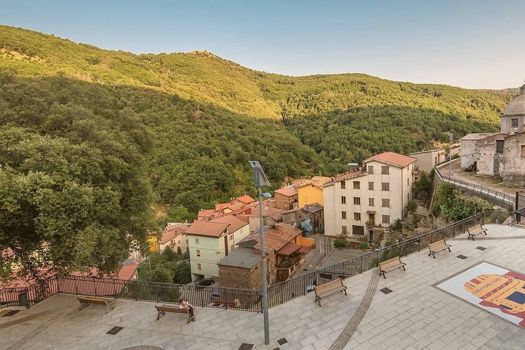
Fonni sits on the northern slope of the Gennargentu, with the island's summit rising to the south, reached on foot from the Arcu Correboi pass. The village is arranged around two poles: the centro storico, holding the parish church, and the sanctuary square outside it, which fills with cumbessias during the Festa dei Martiri on the first Sunday of June.
The convent there was donated to the Observant Franciscans in 1610 by Don Stefano Melis, and the upper church and crypt followed nearly a century later. Fonni hosts an autumn Cortes Apertas weekend in December as part of the Autunno in Barbagia circuit, and the comune falls within the Parco Nazionale del Gennargentu.
Between the altitude, the park boundary, and the sanctuary's pull on the valley below, the town reads as a place organized around elevation and pilgrimage rather than around a single center.
Il Cinghialetto have been named by a guide.
What to see in Fonni
- Santuario della Madonna dei Martiri. The complex sits on a large square outside the village with crypt, oratory, and surrounding cumbessias, the largest pilgrim sanctuary of Barbagia.
- Chiesa di San Giovanni Battista. Parish church in the centro storico, rebuilt in the sixteenth century with Gothic interior elements surviving from that reconstruction.
- Bruncu Spina and Monte Spada. Ski terrain at 1,829 metres reached by lift from Fonni, the only operational ski station in Sardinia in years when snow holds.
How to get to Fonni
Sassari is roughly 154 minutes away by road.
Our tip
Fonni runs on two seasons. June through September is the high-mountain summer: cool nights, daytime highs in the low twenties, Punta La Marmora and the Gennargentu trails accessible without snow. December through March is the winter season, when Bruncu Spina runs its lifts in years the snow holds, increasingly fewer. Sfilata Internazionale delle Maschere Tradizionali falls in July.
Palau
Why visit Palau
Palau is young by Italian standards. The first houses went up in the first half of the 19th century, when shepherds from Tempio Pausania came down to the coast for summer pasture.
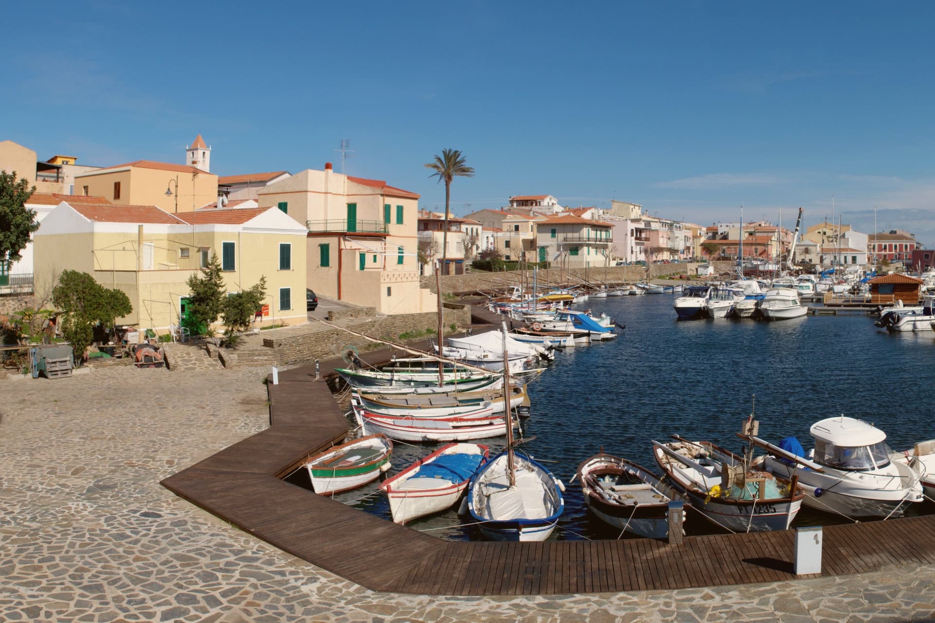
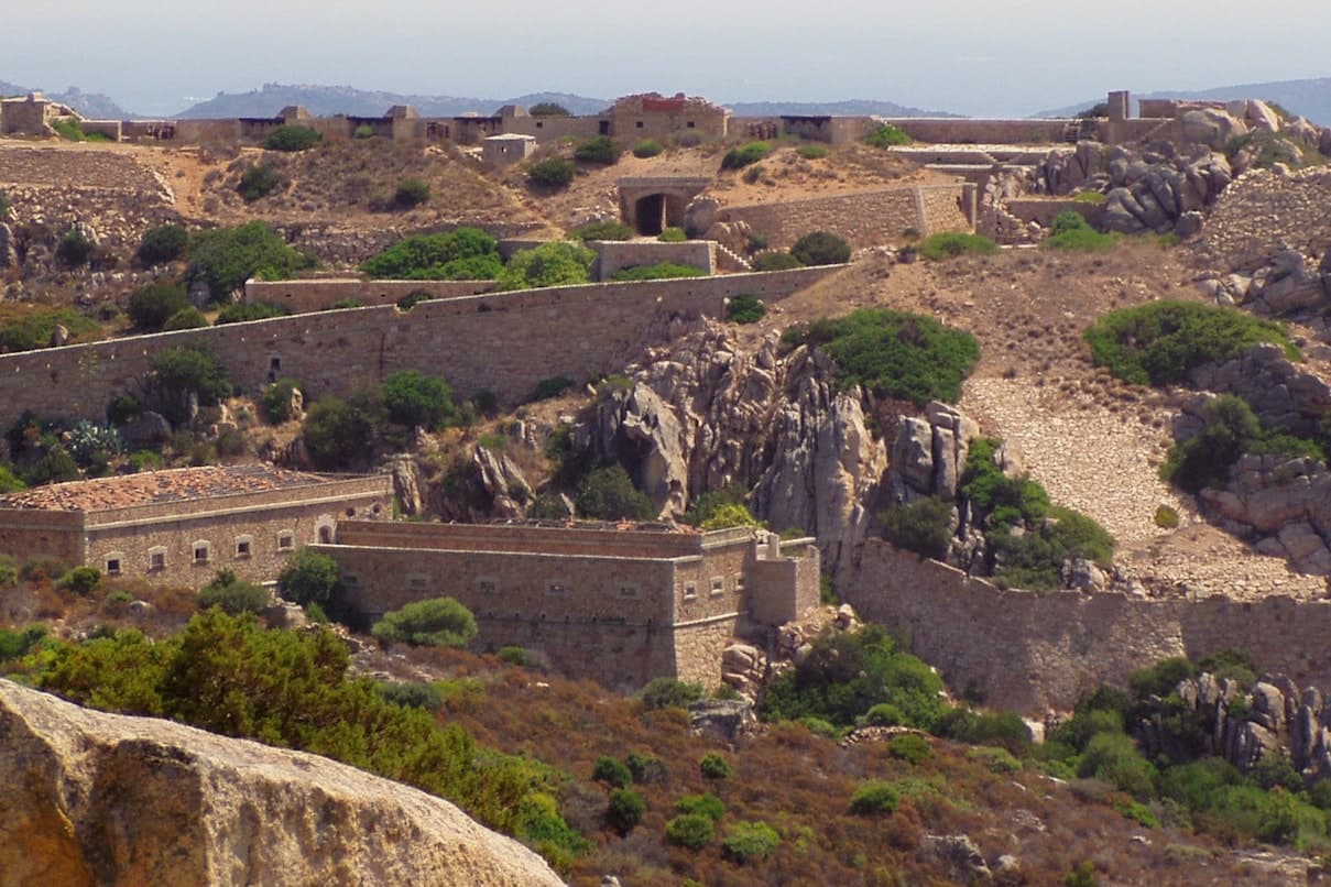
The dialect spoken is Gallurese, the same as inland Tempio, a trace of where the town's founders came from. The town's shape follows its coast: a working port at the center, the headland with its granite outcrop to the east, the fortress on the high ground behind, and the windsurfing peninsula out to the west.
None of these sit far from each other, so a settlement built for shepherds' summer pasture became, in the same stretch of shoreline, a naval lookout, a ferry gateway, and a wind sport venue without much distance between any of them.
Il Paguro, La Gritta have been named by a guide.
What to see in Palau
- Roccia dell'Orso. Recorded by Greek and Roman navigators as a landmark for the strait. The climb up to it gives a view over the port and across to La Maddalena.
- Fortezza di Monte Altura. Built 1887-1889 as part of the defensive belt protecting the naval base across the water. Open for guided visits, standing above the town rather than in it.
- Isola dei Gabbiani. A tied-island peninsula, meaning it connects to the mainland by a low sandy bar rather than open water. The shallows on the sheltered side make it navigable even for beginners.
How to get to Palau
There is a railway station in the town, so you can arrive without a car and never need one while you are here. Sassari is roughly 115 minutes away by road.
Our tip
May through October is the working season: ferries every half hour, beaches at the right temperature, the mistral cooling the afternoons. July and August are the busy months when the campgrounds fill and the ferry queues stretch back to the roundabout. June and September are easier, same water, fewer people.
Santa Teresa Gallura
Why visit Santa Teresa Gallura
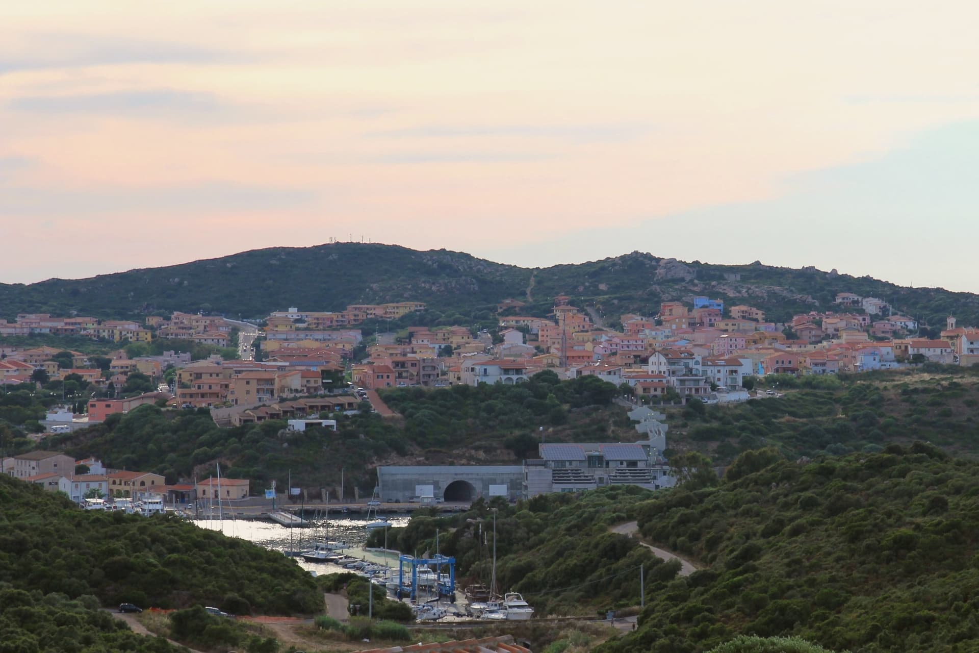
Santa Teresa Gallura sits on the northern tip of Sardinia, facing the Strait of Bonifacio. Corsica is 11 kilometers away across the water, the closest point between the two islands.
The town was founded on August 12, 1808 by King Vittorio Emanuele I of Savoy and named for his wife Maria Teresa of Austria-Este, built over the older settlement of Longonsardo and laid out on a regular grid borrowed from Turin. Before the Savoy refoundation, Philip II of Spain had already raised the Torre di Longonsardo on the headland in the 1570s, one of the coastal towers built to watch for North African raiders.
Capo Testa, the granite peninsula west of town, is a Hercynian outcrop weathered into round boulders and arches, with a lighthouse at its tip and the Cala di l'Ea wind-carved cove on its eastern shore. Rena Bianca, the town beach, has held the Bandiera Blu since 1987.
Millo Ristorante, Da Thomas have been named by a guide.
What to see in Santa Teresa Gallura
- Torre di Longonsardo. Late 16th-century Spanish coastal watchtower built under Philip II, the headland landmark above the town and a free viewpoint.
- Spiaggia Rena Bianca. Town beach of white sand and shallow turquoise water, Bandiera Blu holder since 1987, a short walk from the central piazza.
- Capo Testa. Granite peninsula west of town shaped by erosion into round boulders, arches and natural pools, with a working lighthouse at the western tip.
How to get to Santa Teresa Gallura
Sassari is roughly 114 minutes away by road.
Our tip
May through October is the open season. May and June bring warm but not yet stifling water, with the maquis still flowering. July and August are the loud months when the campgrounds fill, ferry traffic peaks, and Rena Bianca packs out by ten in the morning.
Castelsardo
Why visit Castelsardo
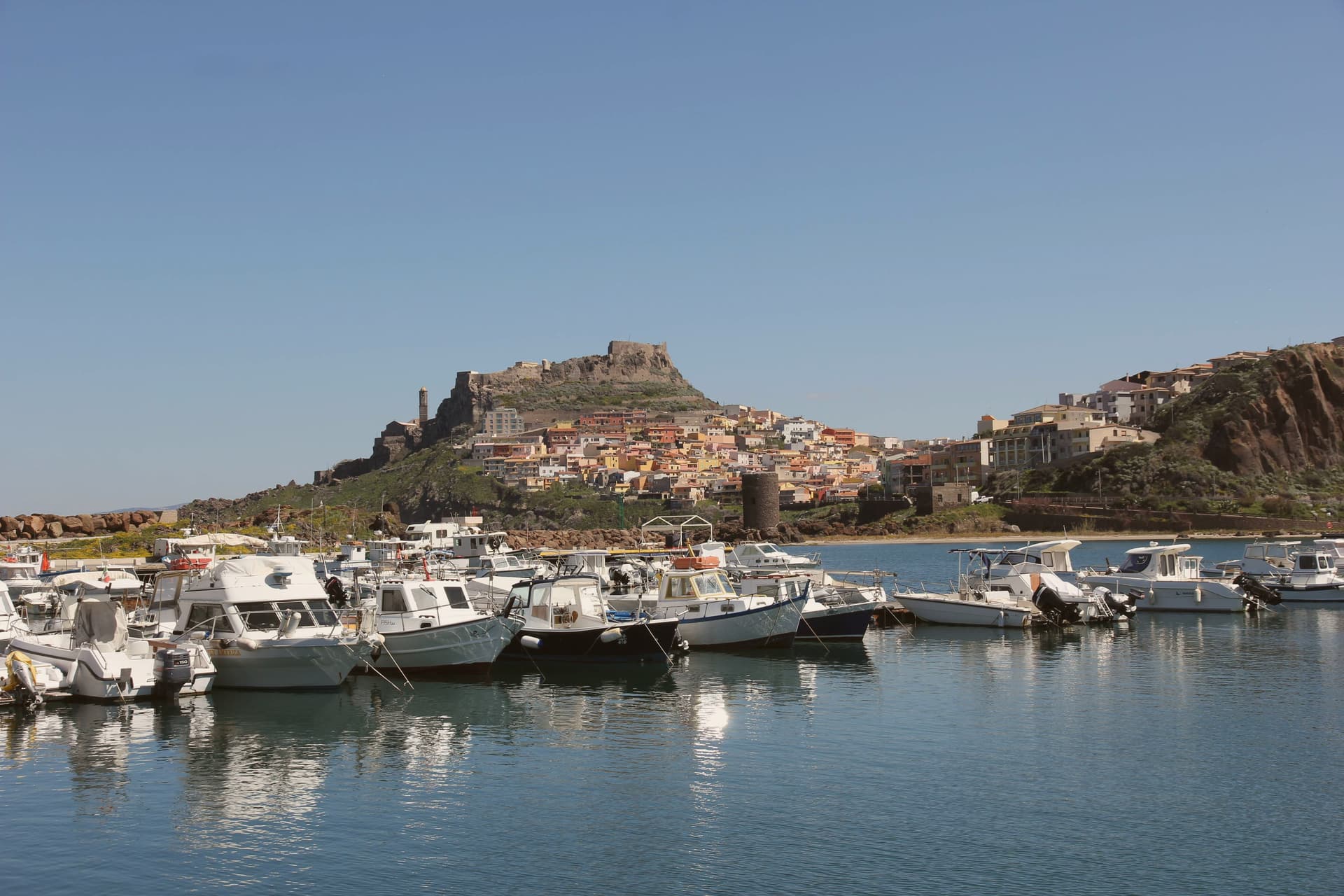
Castelsardo sits at 114 meters on a rock above the Gulf of Asinara, twenty-five kilometers north of Sassari. The Doria family of Genoa built the castle in the early twelfth century to control the gulf, and it served as the residence of Brancaleone Doria and Eleonora d'Arborea until 1448, when the Aragonese took it and renamed it Castel Aragonese.
The Spanish turned it into a defensive fort with towers and bastions, and it kept that name until the Savoys took over in the eighteenth century and gave it the present name. The old town climbs the rock in a single line from the harbour to the castle at its summit, the walled village wrapped around the slope between the two.
Below the castle, the cathedral stands on its own terrace above the sea, its tiled bell tower placed so it can be picked out from boats well offshore. Six kilometers east, on the road out of town, the Roccia dell'Elefante sits apart from this vertical arrangement, a single eroded outcrop rather than part of the settlement.
Three rulers in succession, Genoese, Aragonese, Savoyard, each left their mark on the same rock without erasing what came before: the castle they fought over, the church they built beneath it, and the harbour they all needed at its foot.
Il Cormorano have been named by a guide.
What to see in Castelsardo
- Castello dei Doria. Tops the walled village at its highest point, the rock dropping to the harbour below. Its rooms now hold the museum devoted to the town's weaving craft.
- Cattedrale di Sant'Antonio Abate. Gothic core with seventeenth-century Renaissance and Baroque additions, tiled bell tower visible from sea, Maestro di Castelsardo altarpiece inside.
- Museo dell'Intreccio Mediterraneo. Recreated workshops and historical pieces set inside the castle's rooms, tracing how asphodel and dwarf palm are cut, stripped and worked into baskets and sieves.
How to get to Castelsardo
Sassari is roughly 35 minutes away by road.
Our tip
May through October is the working season on the Gulf of Asinara. The Bandiera Blu beaches at Lu Bagnu and around Castelsardo open from May, and the castle terrace catches the gulf light best in early or late summer. July and August fill the centro storico with day-trippers from Sassari and the Costa Smeralda.
Carloforte
Why visit Carloforte
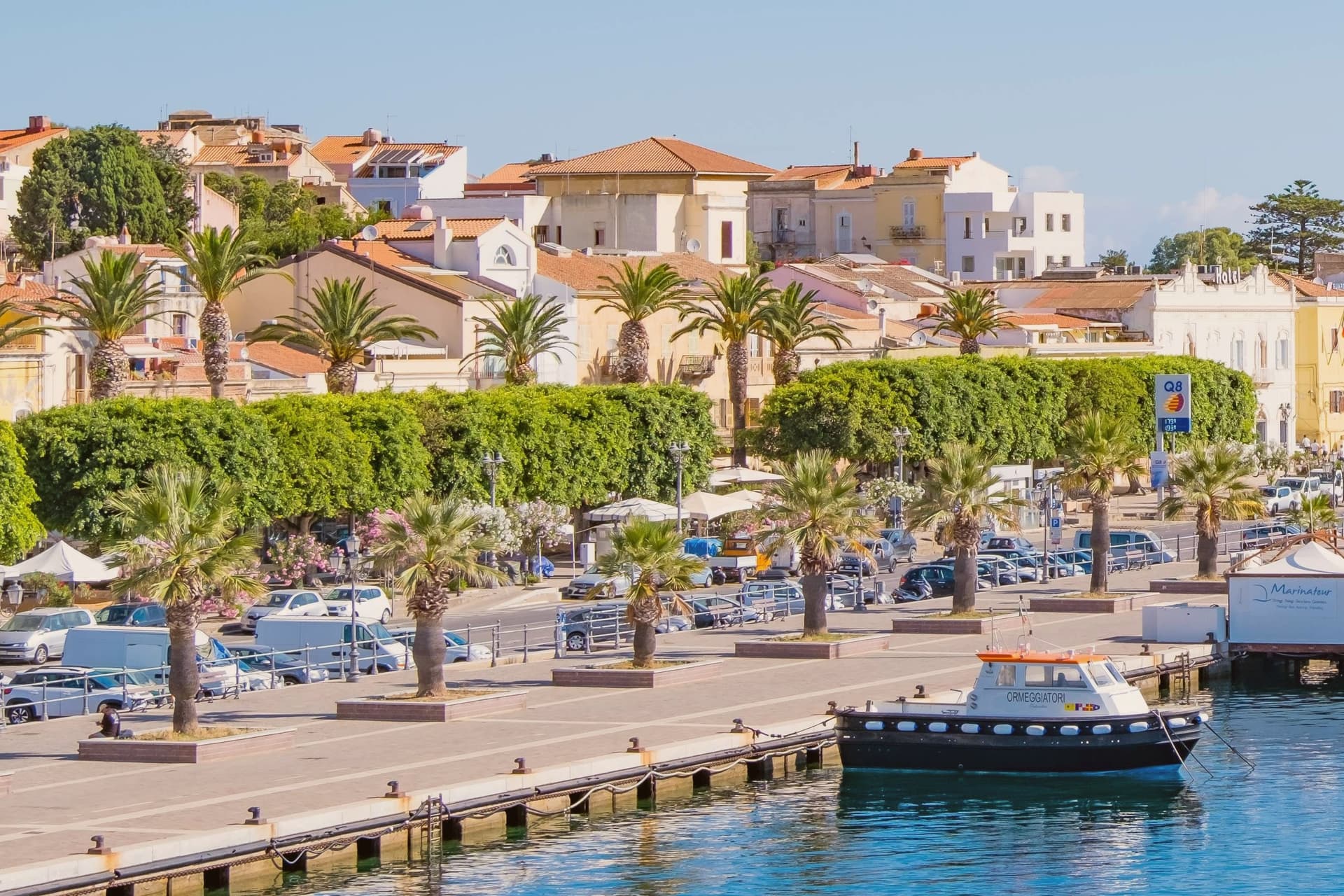
Carloforte is the only settlement on the Isola di San Pietro, seven kilometers off the south-western tip of Sardegna and reached by ferry from Portovesme or Calasetta. About 5,900 people live here.
The story is unusual on the island. Coral fishers from Pegli, near Genoa, left in 1541 for the Tunisian island of Tabarka to work the Mediterranean coral banks.
In 1738, their descendants asked Carlo Emanuele III of Savoy for land, were granted San Pietro, and built the town that still bears the king's name. The inhabitants still speak tabarchino, a Ligurian variant unchanged for two centuries, and write the street signs in two languages.
The tonnara at Punta La Punta worked the bluefin tuna migration through these waters from the sixteenth century to the late twentieth. Each May the Girotonno festival fills the harbour with tuna tastings and music.
The cuisine is Ligurian on Sardinian water: pasta with tuna, capers, and pesto that locals make differently from the Genoese mainland.
Da Nicolo, Al Tonno di Corsa, Da Andrea al Cavallera and 1 more have been named by a guide.
What to see in Carloforte
- Centro storico tabarchino. Ligurian-pattern fishing town founded 1738, pastel houses along the harbour, bilingual street signs in Italian and tabarchino.
- Tonnara di Carloforte. Tuna fishery at Punta La Punta on the northern tip of the island, working the bluefin migration from the sixteenth century until recent decades.
- La Caletta and Spalmatore. Sheltered coves and beaches on the western side of the island, with clear water and access to the Capo Sandalo cliffs.
How to get to Carloforte
Our tip
May through October is the working season in Carloforte. The Girotonno bluefin festival fills the harbour for three days in late May or early June, the cleanest weather window before the heat. June through September runs warm but the sea breeze keeps the harbour cooler than mainland Sulcis.
Oliena
Why visit Oliena
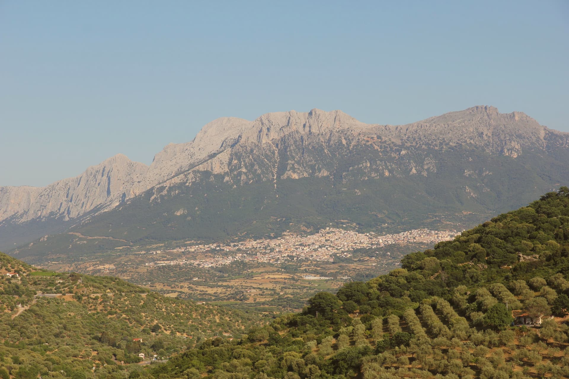
Oliena sits at 380 metres on the western flank of the massif, in the interior of the Nuoro province. The village is the main inhabited base for one of the wildest karst landscapes in Italy: the Lanaitto valley below the town conceals the collapsed doline that hides the Tiscali village, and the caves of Sa Oche and Su Bentu, whose river runs for one of the longest stretches underground of any in Italy.
Monte Corrasi stands over all of it, the high point of the Supramonte, with the spring rising at the foot of a neighbouring peak just east of the centre. Olive groves and almond orchards fill the valley below the cliffs, and the Cannonau grown on these slopes becomes the Nepente di Oliena, the wine D'Annunzio named for Olympus.
The village belongs to the Parco Nazionale del Gennargentu zone and holds the Bandiera Arancione of the Touring Club Italiano. What holds the place together is the relation between the heights and the valley floor: a limestone wall that produces caves, a hidden village and a river underground, and beneath it a strip of cultivated ground that has made the wine and the oil while the mountain keeps the rest concealed.
Su Gologone, Sa Corte have been named by a guide.
What to see in Oliena
- Monte Corrasi. The peak rises directly above the village, a long climb from town and the dominant presence on the skyline in every direction.
- Su Gologone. The spring sits at the foot of Monte Uddè, its water surfacing already emerald-green rather than gathering colour downstream.
- Villaggio nuragico di Tiscali. Bronze Age village of circular huts hidden inside a collapsed karstic doline on Monte Tiscali, reached on foot through the Lanaitto valley.
How to get to Oliena
Sassari is roughly 138 minutes away by road.
Our tip
April through June and September through November are the working months: dry warmth on the cliff face, water still in the Gologone, hiking conditions for Tiscali and the Lanaitto valley. July and August push past thirty-five degrees on the lower slopes and most serious walkers leave the Supramonte alone between eleven and four. Winter is quiet, with snow possible above 1,200 metres on Corrasi and the village turning to its olive harvest in November.
Dorgali
Why visit Dorgali
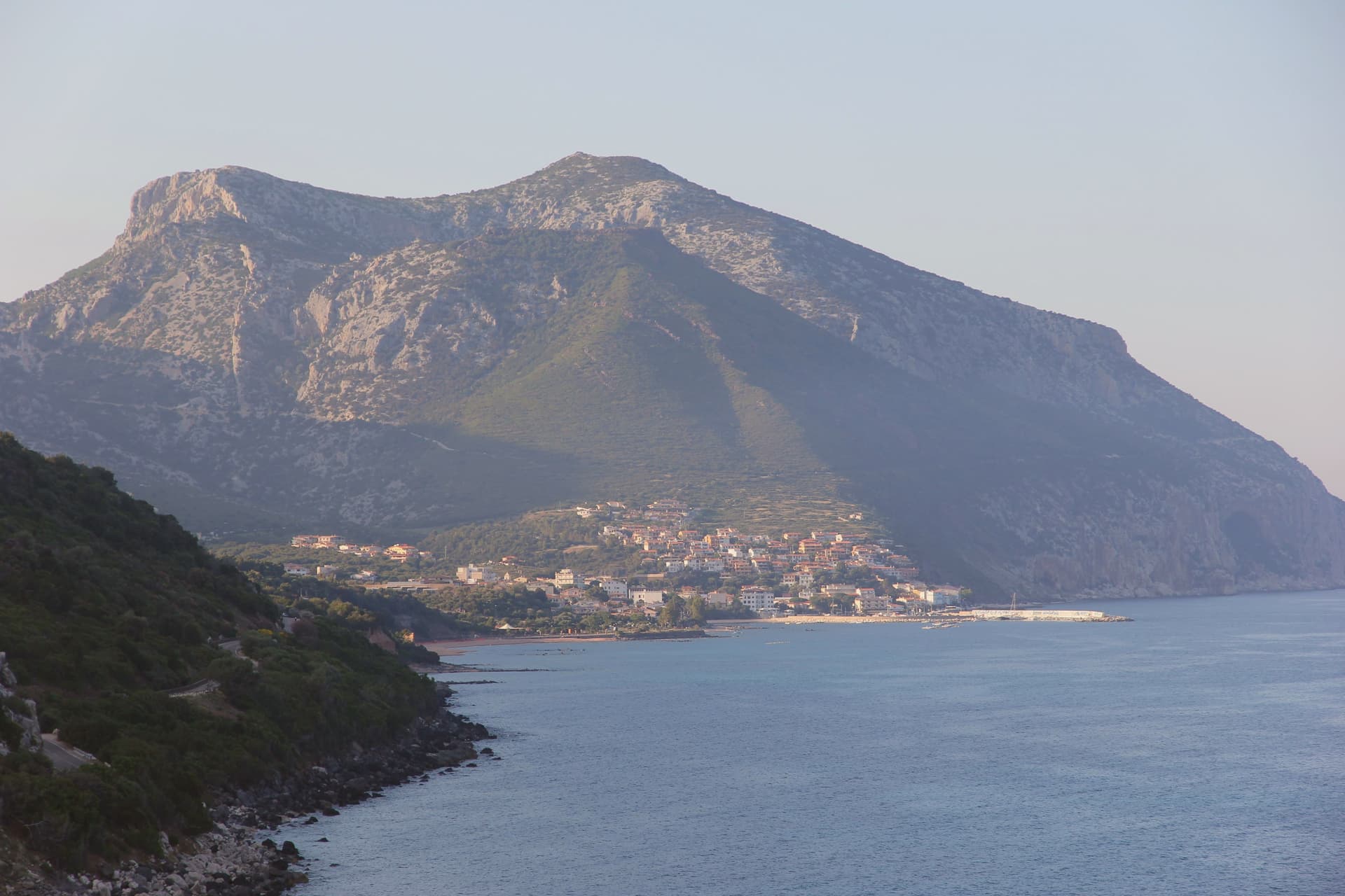
Dorgali sits on the seaward side of the Supramonte, ten kilometers from the coast, its municipal territory covering 225 square kilometers, one of the largest in the province of Nuoro. The coastal frazione holds a thousand residents in winter and fifteen thousand in August, facing the Gulf of Orosei from a small bay reached by a tunnel through the limestone.
North of the town, a sinkhole opens into the massif, the ground beneath it inhabited across centuries before the first millennium BC. South of the town, a river has cut through the same limestone to leave one of the deepest canyons in Europe, its walls holding a plant found nowhere else.
The Cantina Sociale di Dorgali, founded in 1953, vinifies 90 percent of its production from Cannonau across 550 hectares of vineyards in the surrounding communes. The whole territory lies inside the Parco Nazionale del Golfo di Orosei e del Gennargentu.
What connects the coast, the sinkhole, and the gorge is the same limestone mass, worn by water into a cave dwelling in one place and a canyon in another, with the town itself set at the point where the massif starts its descent to the sea.
Ispinigoli have been named by a guide.
What to see in Dorgali
- Villaggio nuragico di Tiscali. Bronze Age village at 518 metres, reached by two hours of hiking through Supramonte limestone before the sinkhole opens underfoot.
- Gola di Su Gorropu. Walls rising sheer from the canyon floor, among the deepest gorges in Europe, the gorge narrow enough that daylight reaches the bottom for only part of the day.
- Cala Gonone. Coastal frazione of Dorgali on the Gulf of Orosei, ten kilometers from the town, the harbor for boat access to the wild beaches south.
How to get to Dorgali
Sassari is roughly 156 minutes away by road.
Our tip
April through June and September through November are the months for Dorgali. The Tiscali hike and Su Gorropu canyon need cool air; mid-July to mid-August on the Supramonte routinely passes thirty-five degrees and the trails close to organized groups. Cala Gonone is the inverse: May through October is the boat season for the Gulf of Orosei coves, and the Cala Luna ferries run on a fixed schedule.