
Tuscany · Livorno
Bibbona
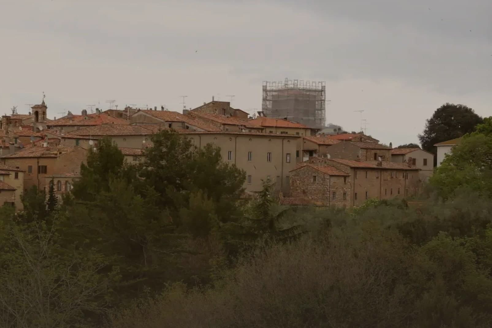
An Etruscan-origin hill village above the Costa degli Etruschi, with a Romanesque parish church and a Lorraine-built coastal fort eight kilometers down the road at Marina di Bibbona.
- Best time
- May–Sep
- By car
- 58 min from Pisa
- By train
- Station in the comune
- Population
- 3,170
Known for
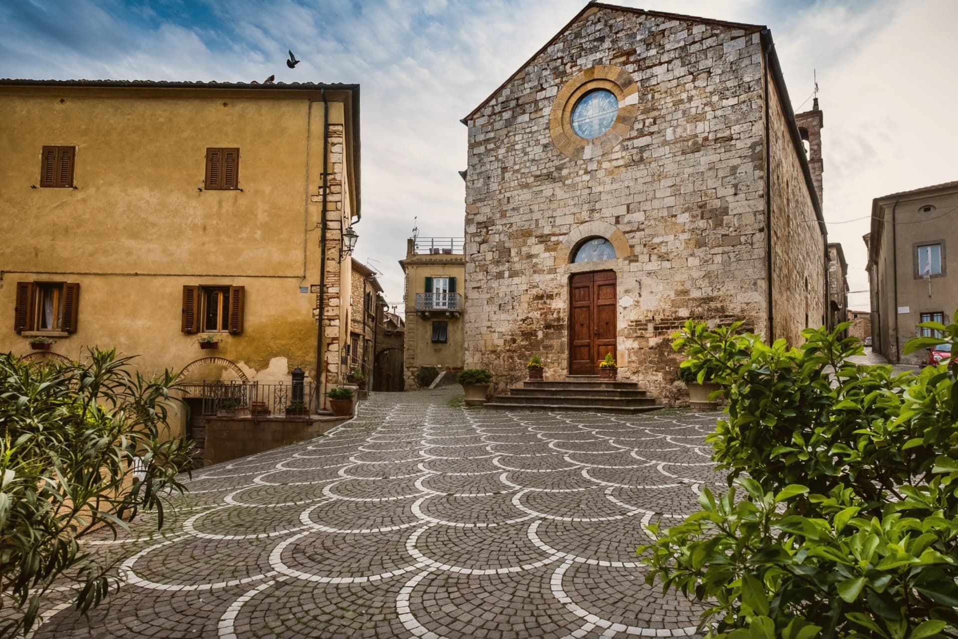
PIEVE DI SANT'ILARIO
Twelfth-century Romanesque parish church, trapezoidal after a 15th-century enlargement, with surviving Templar associations from monk-knight occupants.
MARINA DI BIBBONA
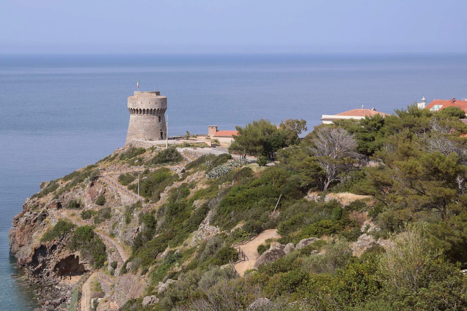
Pine-fronted Bandiera Blu beach 8 km from the borgo, with the late 18th-century Lorraine fort still standing at the shoreline.
MACCHIA DELLA MAGONA
Forested reserve of chestnut, oak and Mediterranean scrub in the hills above the village, recognized by the Spighe Verdi rural award.
When to visit
Best · May–Sep
- J12°
- F14°
- M15°
- A18°
- M22°
- J27°
- J31°
- A31°
- S27°
- O22°
- N17°
- D13°
- Best
- Hot or crowded
- Quiet
- Mostly closed
Daytime averages, 2020–2024. The sea is warmest in August at 27° and coldest in February at 14°. Weather data by Open-Meteo.com.
The festa: Bartolomeo, 24 August
Why come
Bibbona sits in the Val di Cecina, in the southern province of Livorno, eight kilometers from the sea. The town has Etruscan origins, attested by a small bronze goat statuette, now in the Florence archaeological museum, that became the town symbol. After medieval struggles between Pisa and Florence, the territory passed to the Gherardesca counts, who controlled most of the Etruscan Coast.
Monk-knights, probably French and probably Templar, operated from the pieve in the medieval period, a detail that survives more clearly in local memory than in stone. The village keeps its hill position while its coastal frazione does the work of meeting the sea: the fort once handled customs, sanitary inspection and defense, the beach now holds a national recognition, and the reserve in the inland hills once supplied the wood that moved through that same coastline. Upper town, shore and forest were never separate economies so much as three faces of one strip of land running from the Val di Cecina down to the sea.
The Sunday letter
Bibbona is on our list. Its letter is still to come.
We are writing about all 1,000 of these towns, one at a time, in a free letter every Sunday: the photo, the food, the festa. That is our mission. Sign up and you will be there when Bibbona comes up. By Peter & Sophia, from Pietrasanta.
Read on
Bibbona in our articles
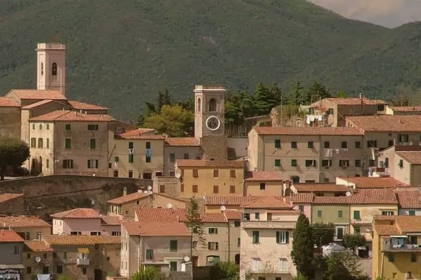
 The best small coastal towns in Toscana6 towns, Bibbona among them.
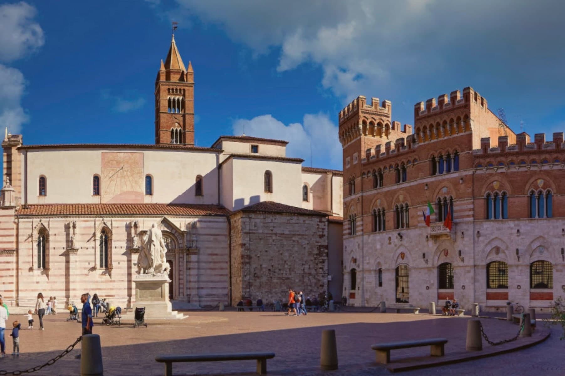
 The best towns with a serious restaurant that eat well within 90 minutes of Livorno6 towns, Bibbona among them.
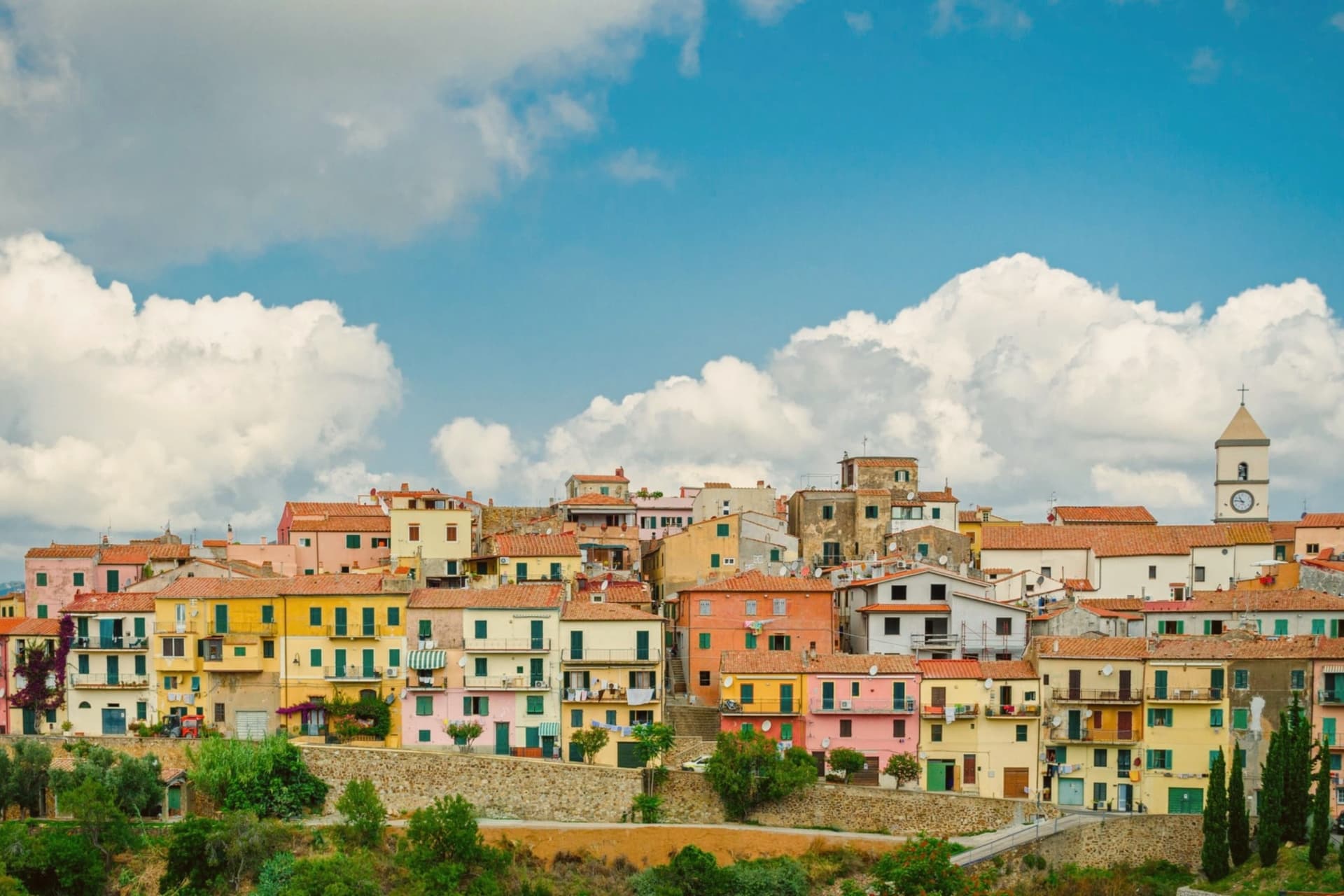
 A 7-day trip through the Tuscan Maremma, based in Grosseto7 towns, Bibbona among them.
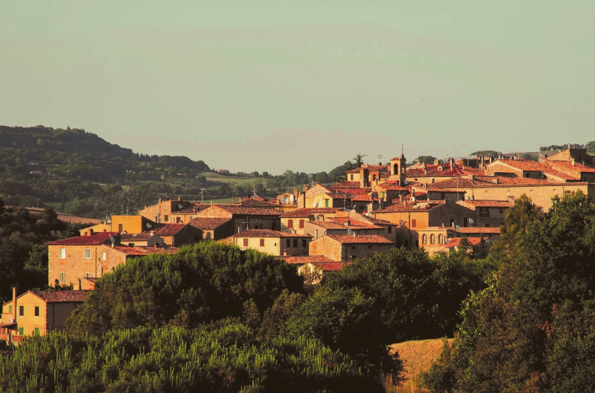
 The 7 best coastal towns in the province of Livorno7 towns, Bibbona among them.
How to get there
From Florence / Pisa (PSA), about 1 hour by car.
Bologna (BLQ) is about 2h 37m away.
By car from the centre of Pisa 58 minutes, Siena 1h 42m or Florence 1h 49m.
There is a railway station in the comune, so you can arrive without a car.
Coming by train into Livorno Centrale? Bibbona is about 48 minutes away by road.
What to see
Pieve di Sant'Ilario
The church stands on Piazza XX Settembre. The right side and facade keep their Romanesque lines, while the added left nave throws the plan out of square, a visible seam between two building campaigns three centuries apart.
Borgo medievale
Concentric ring of stone streets and stairways around the old castle, with surviving medieval gates and the central piazza.
Forte di Marina di Bibbona
Built for customs control, sanitary inspection and defense against corsairs, the fort held a working coastline job, not a decorative one, watching the same shore the beach now occupies.
Marina di Bibbona
Coastal frazione 8 km west of the borgo, fronting the Costa degli Etruschi, with a pine-backed shoreline holding the Bandiera Blu.
Macchia della Magona
Forested reserve in the hills east of the village, with chestnut, oak and Mediterranean scrub, source of the wood once shipped down through the fort at the coast.
The slow-trip planner
Building a trip? Find where Bibbona fits in a slow Italy circuit.
Answer five questions. We will shape a geographically coherent slow trip from the 1,000 Italian towns most travelers skip. Yours to save and share.
We recommend
Where to eat
Not our picks, but places the guides put their name to: a Michelin star, a Gambero Rosso fork, a Slow Food snail, a Michelin Key for the hotels. Worth a table, a counter, or a night when you pass through.
La PinetaRistorante
La Pineta has one Michelin star and two Gambero Rosso forks (88/100).
Io CucinoTrattoria
Io Cucino holds two Gambero Rosso prawns.
Taverna La CarabacciaRistorante
One Gambero Rosso fork (77/100), at Taverna La Carabaccia.
Living here
- Population 3,170
- Remotei
- Pharmacy in town
- High school within a 30-minute drive
- Train station in the comune
- Nearest airport Florence / Pisa, 1 h 4 min drive
- Regional capital Firenze, 1 h 49 min drive
Common questions
- What is Bibbona known for?
- Bibbona is an Etruscan-origin hill village above the Costa degli Etruschi, with a Romanesque parish church and a Lorraine-built coastal fort eight kilometers down the road at Marina di Bibbona.
- Where is Bibbona?
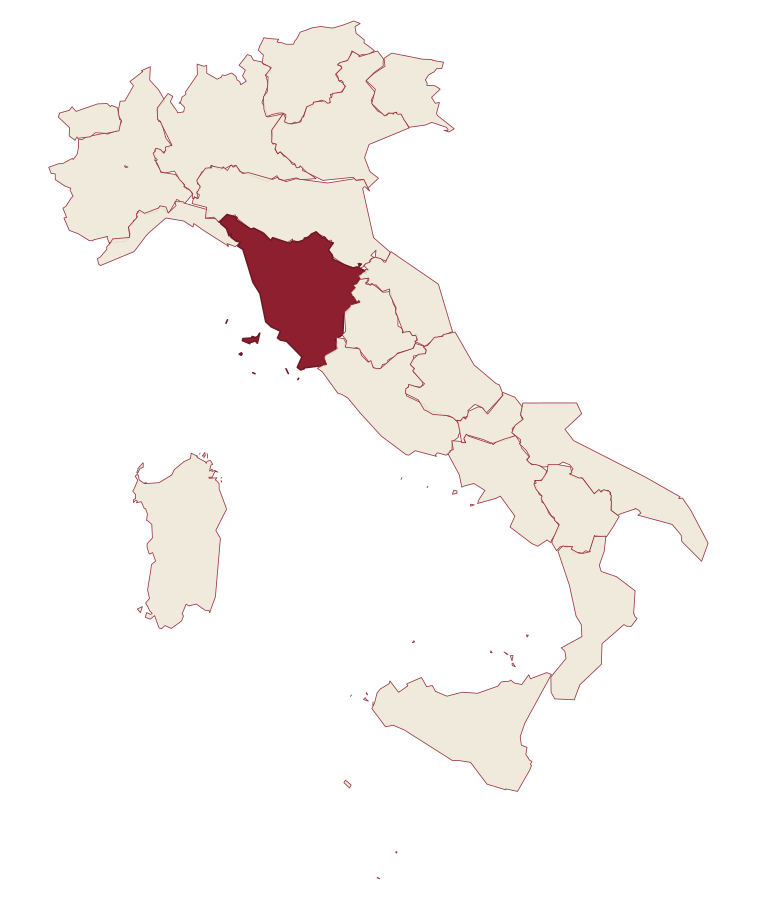
- Bibbona is a comune in the province of Livorno, in Tuscany, at 85 meters above sea level.
- What is the nearest airport to Bibbona?
- Florence / Pisa (PSA), about 1 hour by car.
- Can you get to Bibbona without a car?
- Yes. There is a railway station in the comune, so you can arrive by train.
- How long is the drive from Pisa to Bibbona?
- About 58 minutes by car.
- When is the best time to visit Bibbona?
- Best in May–Sep. August is the warmest month, averaging 31 degrees, and December the wettest, with about 14 rain days.
- Is there a sagra or a festival in Bibbona?
- The town keeps its patron saint's day: Bartolomeo, 24 August.
- Which other towns are like Bibbona?
- Castagneto Carducci, Tropea and Vietri sul Mare.
- How many people live in Bibbona?
- 3,170 at the 2023 count.
Tags & datadesignations · numbers · sources
Recognised as
The numbers
- Elevation: 85 m
- Population: 3,170
- Surface area: 65.68 km²
These figures were compiled from public directories: ISTAT, OpenStreetMap and Wikidata, and from the official listings of the guides named on this page. Town details change; verify with official sources before you travel.
Similar
Towns like Bibbona
Castagneto Carducci
Province: Livorno
both on the Tyrrhenian coast · both between 3,000 and 10,000 people
Tropea
Province: Vibo Valentia
both on the Tyrrhenian coast · both between 3,000 and 10,000 people
Vietri sul Mare
Province: Salerno
both on the Tyrrhenian coast · both between 3,000 and 10,000 people
Praia a Mare
Province: Cosenza
both on the Tyrrhenian coast · both between 3,000 and 10,000 people
Pizzo
Province: Vibo Valentia
both on the Tyrrhenian coast · both between 3,000 and 10,000 people
Bagnara Calabra
Province: Reggio di Calabria
both on the Tyrrhenian coast · both between 3,000 and 10,000 people
🟦 Bandiera Blu
More Bandiera Blu towns in Tuscany
Camaiore
Province: Lucca
The Versilia commune that runs from the mountains to the sea, a Roman Campus Maior on the Via Francigena with a beach at its western end.
Carrara
Province: Massa-Carrara
The marble town at the foot of the Apuan Alps, with over 650 quarry sites in the valleys above and the stone that built the Pantheon, the Pietà and Michelangelo's David.
Castagneto Carducci
Province: Livorno
A hilltop borgo at 194 meters above the Costa degli Etruschi, renamed for the poet Carducci in 1907 and the home of Bolgheri and Sassicaia.
Castiglione della Pescaia
Province: Grosseto
A Maremma seaside town under an Aragonese castle, with the Vetulonia necropolis behind it and Italo Calvino buried on the hill.
Forte dei Marmi
Province: Lucca
The Versilia luxury beach built around an eighteenth-century marble-loading fort, with 99 bagni concessions and a Wednesday market that draws Milan.