
The best towns you can reach by train that eat well within 90 minutes of Terni
This is the country of shallow valleys and travertine, of oak woods that give up truffle from autumn into deep winter, of olive oil pressed on the hills above the Nera and the Tiber. Houses go up in pale stone the colour of old bread, sometimes tufa where the Lazio border begins, and the towns sit on ridges with the mineral water springs bubbling somewhere below. The food follows the ground: strangozzi with truffle, farro soup, lamb roasted with wild fennel, sheep's cheese, flatbread cooked under ashes. Spring brings wild asparagus into the kitchens, and by November the sagre are all about the pig and the fungus.
Almost everyone doing Umbria by train stops at Assisi and Perugia, and the Basilica of San Francesco takes the crowd for the whole of it: coaches from the car park below, queues along the upper church, restaurants near the piazza that have learned they never need a returning customer. Both cities deserve their reputation. But the eating there is heavily filtered through people who will only sit down once, and the good tables are booked by people who planned a long time ago.
The same railway keeps going. South and west of that famous stretch the line runs through hill towns with Roman foundations, thermal springs, and kitchens that a dining guide has judged worth naming, all inside an hour and a half of Terni. Fewer people get off at these stations. The truffle is the same truffle.
Of the 36 communes we have mapped within 90 minutes of Terni, 9 qualify as towns you can reach by train that eat well: we have confirmed each is reachable without a car, and a dining guide has named a table in each. The smallest, Magliano Sabina, has 3,433 residents.
Elsewhere in the catalogue: The 9 best hidden hill towns that eat well within 90 minutes of Terni and The prettiest villages that eat well within 90 minutes of Terni.
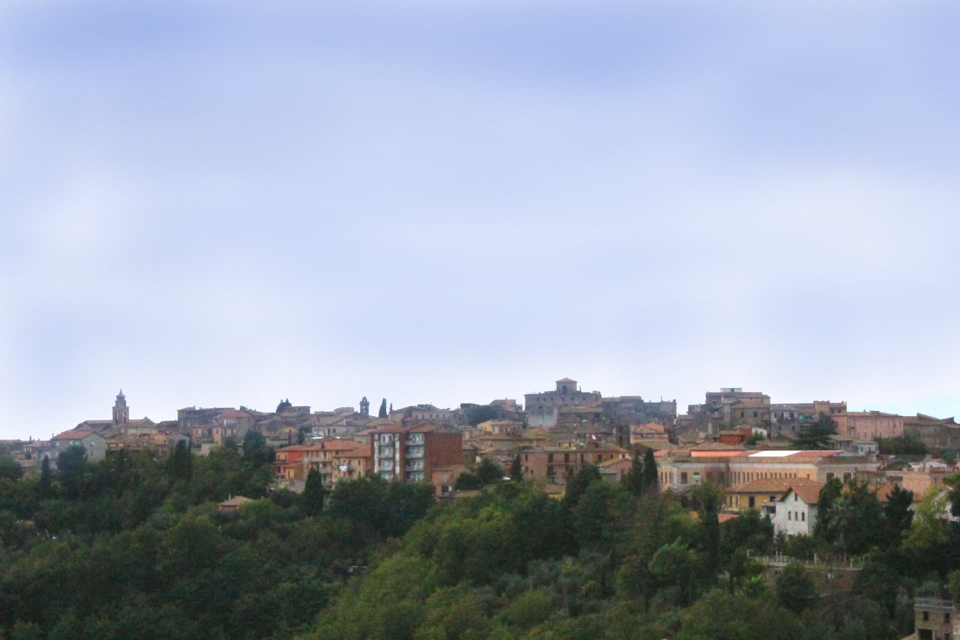
Magliano Sabina
Why visit Magliano Sabina
Magliano Sabina sits at 222 meters on a terrace above the Tiber valley, fifty kilometers north of Rome on the border between Lazio and Umbria. The hill above the river was Sabine ground; the Roman town of Ocriculum, just across in modern Umbria, was the regional anchor.
The medieval centre grew up under the Benedictine abbey of Farfa and passed to the Holy See in the fourteenth century, and the diocesan seat later moved up from the older episcopal site at Vescovio, in the comune's own territory, to the town's upper church. The upper town, walled and gathered around the Palazzo Comunale and the cathedral, occupies the terrace edge; the Vescovio remains lie apart in the surrounding countryside, marking where the diocese first sat before the seat moved uphill into Magliano itself.
From the ridge the ground gives way west to the Tiber and then climbs into Monte Soratte on the far bank, a view that alone earned the town membership in the Borghi più belli d'Italia in 2003. The town's standing, then, rests less on any single monument than on the relation between an old river crossing, an abbey's authority, and a line of sight that has drawn notice since antiquity.
Degli Angeli have been named by a guide.
What to see in Magliano Sabina
- Cattedrale di San Liberatore. The cathedral stands on Piazza Duomo, its stone façade the dominant note of the square and the seat around which the diocese has organized itself since the medieval period.
- Chiesa di San Pietro. Twelfth-century Romanesque church, one of the oldest standing buildings in town, with its original masonry preserved.
- Centro storico. Medieval upper town on the Tiber terrace, with the Palazzo Comunale, the diocesan seat and surviving sections of the village walls.
How to get to Magliano Sabina
There is a railway station in the town, so you can arrive without a car and never need one while you are here. Terni is roughly 41 minutes away by road.
Our tip
April through June and September through October are the strongest months in the Tiber valley. The Sabine olive country is green in spring and the panorama toward Monte Soratte opens cleanest after rain clears the haze. July and August touch the mid-thirties; the centro storico stays cooler than the river plain below, but the open ridge walks empty around midday.
Massa Martana
Why visit Massa Martana
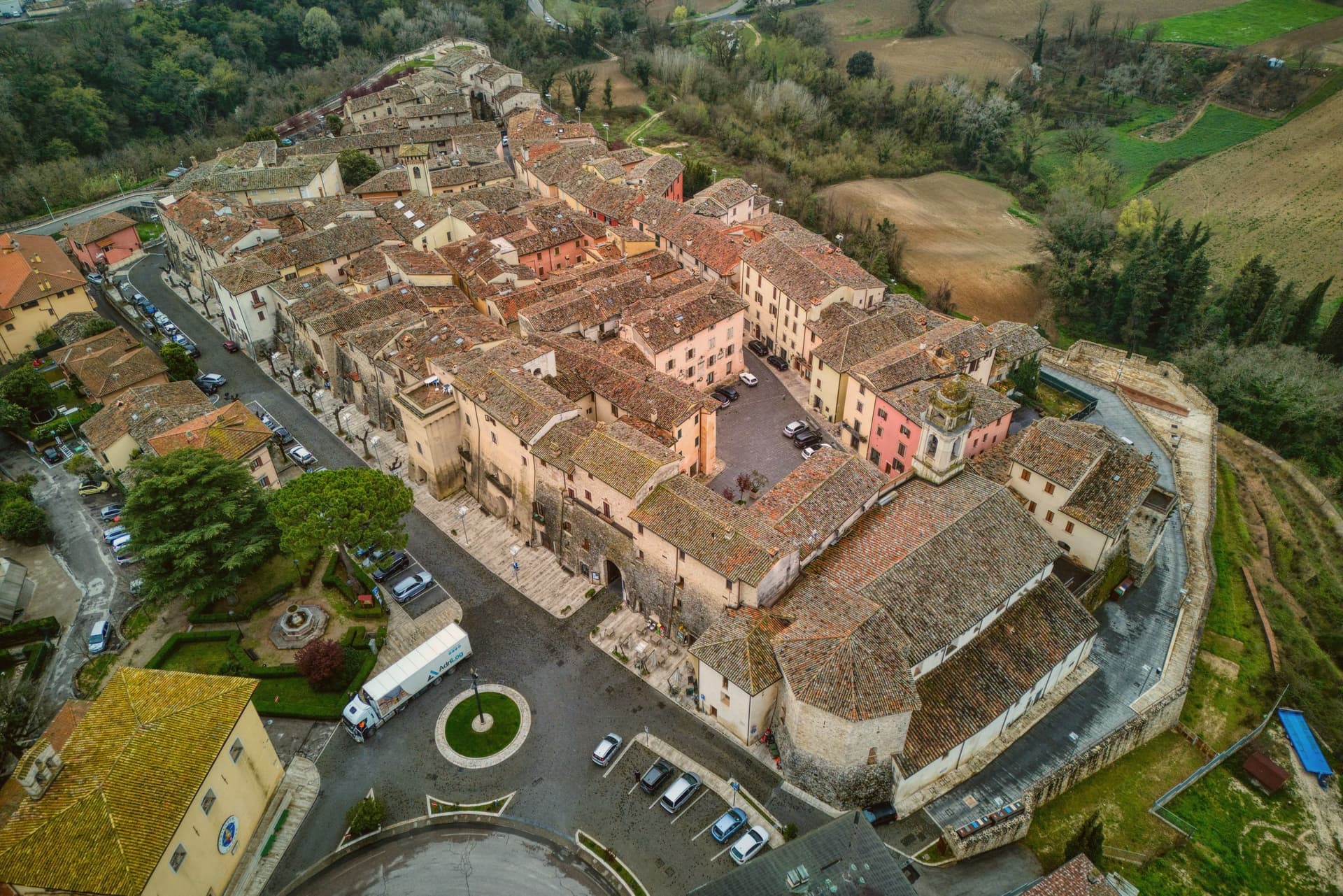
Massa Martana is here for the Roman road. The Via Flaminia (the original 220 BC consular road from Rome north over the Apennines to Rimini, the spine of Roman Italian infrastructure for 500+ years) passes directly through the village — and Massa Martana sits at exactly the point where the road begins climbing into the Apennine pre-massif, with sections of the original Roman paving still visible in the surrounding countryside.
This made the area an important late-antique Christian community: the Catacombe di Villa San Faustino (3-4 km north of the centro) are the only Roman-era Christian catacombs in all of Umbria — discovered 1968, in continuous use from the 3rd to the 6th c AD, with 200+ tombs, original frescoes, and Latin inscriptions. The Abbazia dei Santi Fidenzio e Terenzio (9th-c Benedictine, on the hill above town, with surviving Carolingian elements + 12th-c restorations) is the other major monastic-era survivor.
The town itself is 3,613 residents at 351m altitude in central Umbria, 17 km southeast of Todi, with a medieval-Renaissance centro that was severely damaged by the 26 September 1997 Marche-Umbria earthquake (the same event that brought down the vault of the Basilica di San Francesco in Assisi). The reconstruction was completed in stages through 2010, and the town was re-inscribed on the Borghi più belli d'Italia list after restoration.
Today the centro reads as a meticulously restored small medieval ensemble — the Porta Santa Maria, the Chiesa Madre di San Felice (rebuilt), the Palazzo Comunale, the Torre Civica. Surroundings: the Monti Martani limestone massif (the prehistoric source of the Martana name) rises immediately east, with marked hiking trails, the Lago di Corbara just south, and the Todi UNESCO-fortified town 17 km away.
The food is Umbrian: strangozzi with truffle (Umbria's signature pasta), porchetta, salumi, Pecorino, the local Sagrantino di Montefalco 25 km west. The Festa di San Felice (25 January) and the Sagra del Tartufo (October) are the year's main events.
Fontana delle Pere have been named by a guide.
What to see in Massa Martana
- Via Flaminia Roman road. Original 220 BC consular road from Rome to Rimini passes directly through. Sections of Roman paving visible in the surrounding countryside — the spine of Roman Italian infrastructure for 500+ years.
- Catacombe di Villa San Faustino. The only Roman-era Christian catacombs in all of Umbria — 3-4 km north of the centro, in use 3rd-6th c AD, with 200+ tombs, original frescoes, Latin inscriptions. Guided tours.
- Abbazia dei Santi Fidenzio e Terenzio. 9th-c Benedictine abbey on the hill above town. Surviving Carolingian elements + 12th-c restorations. The most important monastic survivor in the comune.
How to get to Massa Martana
There is a railway station in the town, so you can arrive without a car and never need one while you are here. Terni is roughly 32 minutes away by road.
Our tip
Massa Martana is best April–June and September–October. The Sagra del Tartufo in October is the year's culinary highlight. Festa di San Felice (25 January) is the winter patronal event.
Stroncone
Why visit Stroncone
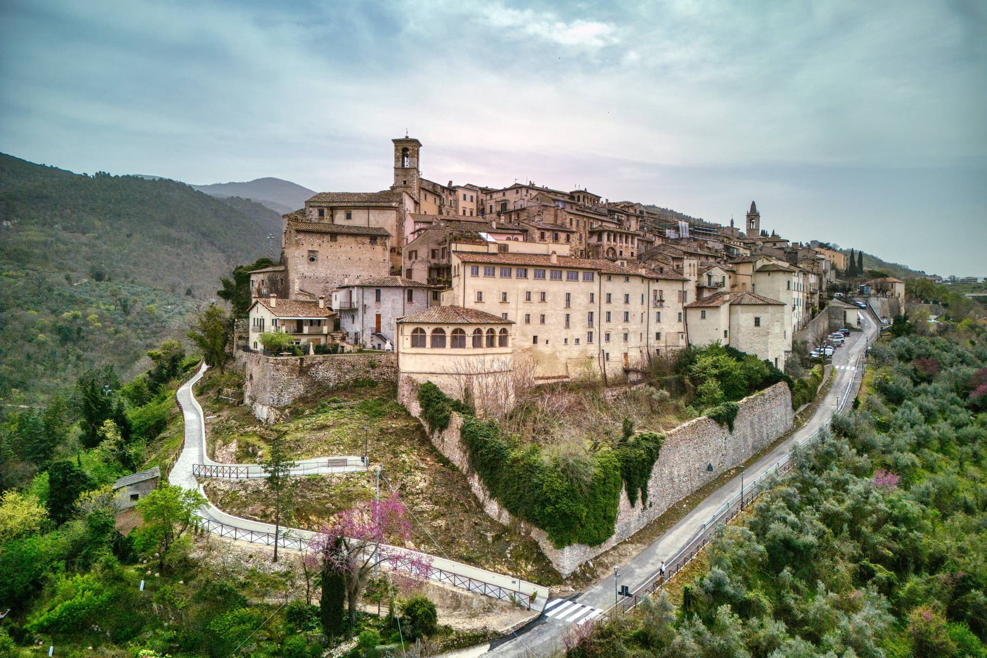
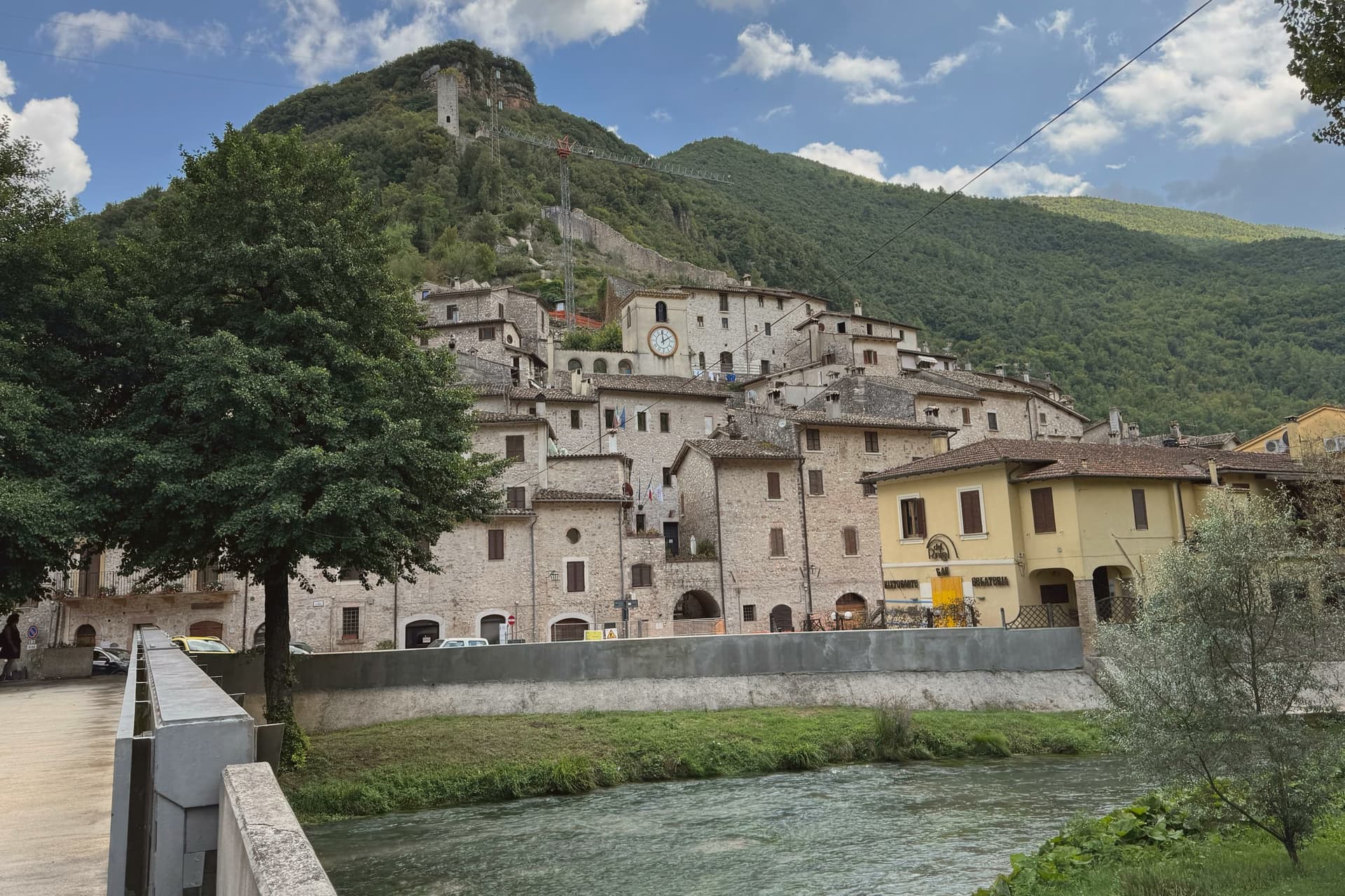
Stroncone sits at 451 meters on an olive-covered hill eight kilometers south of Terni, in the Conca Ternana on the western slope of the Apennine. The name traces to Duke Ugone of Spoleto, whose castrum Hugonis evolved through Castrugone and Strungone to the present form.
A group settled here around the tenth century and built a castle; Stroncone first appears in documents in 1012, when Giovanni di Pietro made a donation to the monastery of San Simeone. Pope Innocent III granted municipal self-rule in 1215.
The Convento di San Francesco, south of the walls, is one of the older Franciscan foundations in Umbria, founded by tradition by Francis himself in 1213, two years before papal recognition of the order. The medieval circuit walls remain almost complete, with the original gates framing a network of stepped lanes that climb to the small main square.
The Cammino di San Francesco passes through, picking up walkers between Rieti and Assisi.
Mammé have been named by a guide.
What to see in Stroncone
- Convento di San Francesco. Franciscan convent south of the walls, founded by tradition by Saint Francis in 1213, two years before papal recognition of the order.
- Centro storico. Walled medieval core with original gates intact, climbing through stepped lanes to the small main square at the top of the hill.
- Chiesa di San Giovanni Decollato. Main parish church at the heart of the borgo, with frescoed interior and a Renaissance baptismal font.
How to get to Stroncone
There is a railway station in the town, so you can arrive without a car and never need one while you are here. Terni is roughly 18 minutes away by road.
Our tip
April through June and September into October are the months for Stroncone. Olive harvest carries the autumn rhythm into late November, and the frantoi work into the evening through October and November. July and August are warm in the Conca Ternana but the hill is high enough that nights cool quickly. Sagra De u Cecu Maritu falls in July.
San Gemini
Why visit San Gemini
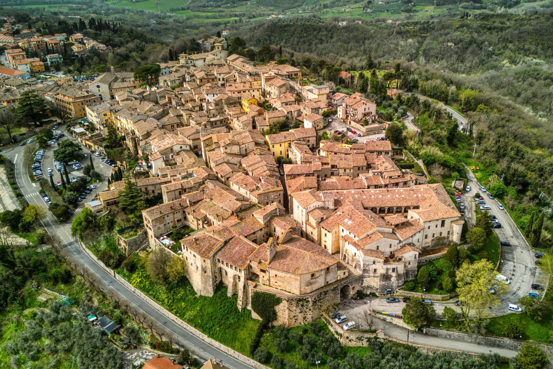
San Gemini sits at 337 meters on the southern slope of the Monti Martani, ten kilometers northwest of Terni. The archaeological park to the north preserves a stretch of polygonal Roman paving, a gate or honorary arch, an amphitheater, mosaic floors and the remains of an aqueduct, all part of a municipium abandoned probably after an earthquake.
The mineral springs rise just outside the populated centre, close enough that the town and the water source share the same ground without sharing a single street. The walled core steps down the slope in two halves that still define the town's rhythm: the district built around the old fortified height and the district gathered around the main square, each fielding its own team when the joust between them runs its course every year.
The cathedral, rebuilt in the nineteenth century but keeping a portal a great deal older, and the Gothic church on the square, each anchor their own end of the settlement. The Corpus Domini Infiorata blankets the procession route with petal mosaics nine weeks after Easter.
A hill town this size holding a Roman ruin, a bottled spring and a rivalry that still stages a joust suggests a place where the past was never cleared away to make room for the present, only built alongside it.
Origine al Grand Hotel San Gemini have been named by a guide.
What to see in San Gemini
- Parco Archeologico di Carsulae. Roman municipium four kilometers north of San Gemini, with the Via Flaminia paving, the Arco di San Damiano, amphitheater and aqueduct remains.
- Chiesa di San Francesco. Thirteenth-century Gothic church on the main square, single nave with pointed arches, alongside Palazzo Canova.
- Duomo di San Gemine. Originally twelfth-century late Gothic cathedral, rebuilt in the nineteenth century by Livoni with consultation from Antonio Canova, keeping a fifteenth-century portal.
How to get to San Gemini
There is a railway station in the town, so you can arrive without a car and never need one while you are here. Terni is roughly 16 minutes away by road.
Our tip
April through June and September into October are the dependable months. The Infiorata di Corpus Domini covers the procession route with petal mosaics nine weeks after Easter, usually early June. The Giostra dell'Arme runs over two weeks at the end of September into early October, the rioni in fifteenth-century costume, the joust in the main piazza. Giostra dell'Arme falls in September.
Todi
Why visit Todi
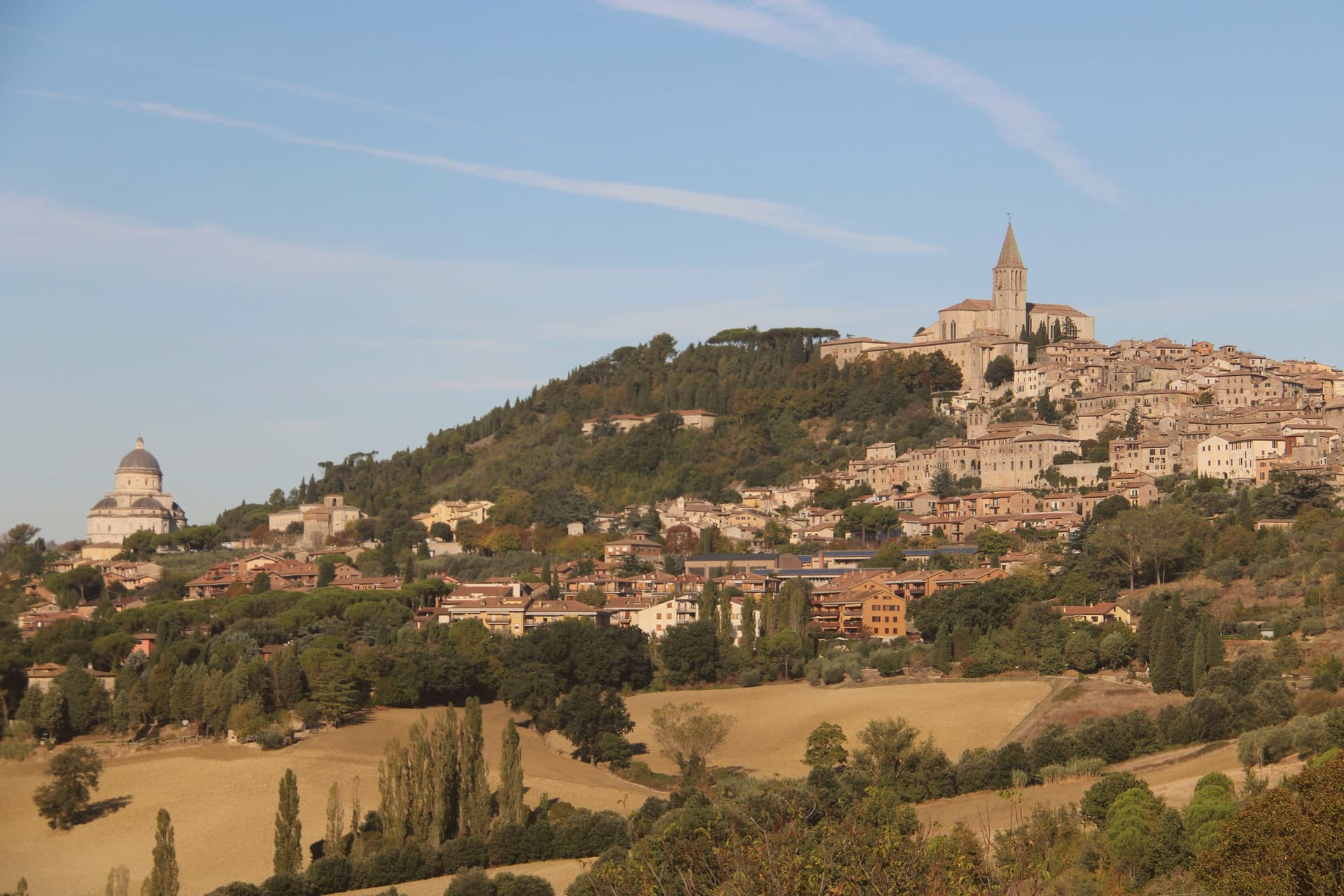
The hill the town occupies, Colle Nidoli, rises above the middle Tiber, and the settlement is built as three concentric ring walls rather than one: Etruscan and Roman courses at the base, a medieval circuit at the summit, the whole sequence readable from the hills around it. The square at the top sits directly over a Roman forum, and the cisterns cut beneath that forum still carry water and drainage for the town today, so the working infrastructure underfoot is as old as anything visible above ground.
The building on the square with the triple window keeps that window from the thirteenth century. The lower ground beyond the medieval walls holds the Roman niches, the surviving wall of a first-century BC public building, set at the foot of the town rather than within its defended core, a reminder that the settlement's Roman life extended past what the medieval walls later enclosed.
Outside the walls in the other direction stands the Renaissance temple, built over a century between 1508 and 1607, deliberately separated from the dense center it complements. Todi's layout is less a single town than a stack of settlements, Etruscan, Roman, medieval, Renaissance, each occupying its own ring or its own ground beyond the walls, none erasing what came before it.
Fiorfiore have been named by a guide.
What to see in Todi
- Piazza del Popolo. Square on the highest point of Colle Nidoli, built over Roman cisterns still in use, ringed by cathedral, Palazzo dei Priori, and Palazzo del Capitano.
- Cattedrale della Santissima Annunziata. Twelfth-century cathedral on the site of a Roman temple, north end of Piazza del Popolo, Gothic rose window and a fresco of the Last Judgment by Faenzone inside.
- Tempio di Santa Maria della Consolazione. Outside the walls rather than within the medieval fabric of the center, its dome fifty meters high, a solitary geometric mass against the surrounding hillside.
How to get to Todi
There is a railway station in the town, so you can arrive without a car and never need one while you are here. Terni is roughly 37 minutes away by road.
Our tip
April through June and September into October are the months locals prefer. The Tiber valley below stays green or gold depending on the half, and the upper terraces hold light into the evening. Todi Festival runs in late August with concerts and theater in the centro storico.
Orvieto
Why visit Orvieto
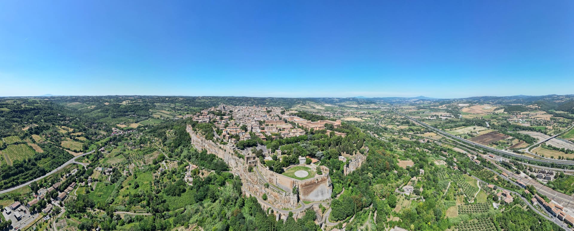
Orvieto sits on a flat-topped butte of volcanic tuff at 325 meters, the cliffs 195 meters above the surrounding plain. The town began as Velzna, a flourishing Etruscan metropolis, and the Romans destroyed it in 264 BC.
The medieval town that replaced it on the same plateau became a papal refuge in the 13th century, when popes left Rome for the safety of the height. The town's layers sit one below the other rather than side by side: the cliff face is honeycombed with Etruscan and medieval cavities, cisterns and pigeon roosts cut into the same tuff that the necropolis at its foot was carved into during the 6th century BC, while the cathedral and its chapel occupy the surface above, and the well descends back down through the rock to reach water.
What looks from a distance like a single stone crown is in fact three towns stacked in the same column of tuff: the dead below, the popes and their cathedral on top, and a passage cut straight through the middle to keep the town supplied.
Da Gregorio, Coro, I Sette Consoli and 4 more have been named by a guide.
What to see in Orvieto
- Duomo di Orvieto. The polychrome marble façade rises in tiers of mosaic and sculpture, the decorative Gothic worked into bands of color rather than left plain stone.
- Cappella di San Brizio. The Last Judgment fills the chapel wall to wall, figures twisting and falling across the vault and lunettes inside the cathedral.
- Pozzo di San Patrizio. Sunk for Pope Clement VII, the shaft drops 53 meters, lit by windows cut into the walls of the two ramps so the descent is never dark. Antonio da Sangallo the Younger designed it to move water and mules at once, without either crossing the other's path.
How to get to Orvieto
There is a railway station in the town, so you can arrive without a car and never need one while you are here. Terni is roughly 56 minutes away by road.
Our tip
April through June and September into October are the months for Orvieto. The plateau holds the long light, the Paglia valley below is green or gold, and the white wine of the surrounding vineyards is poured at every osteria. Umbria Jazz Winter runs around New Year and fills the Teatro Mancinelli; the Corpus Domini procession on the second Sunday after Pentecost is the most concentrated religious event of the year. Sagra del Bosco falls in September.
Spoleto
Why visit Spoleto
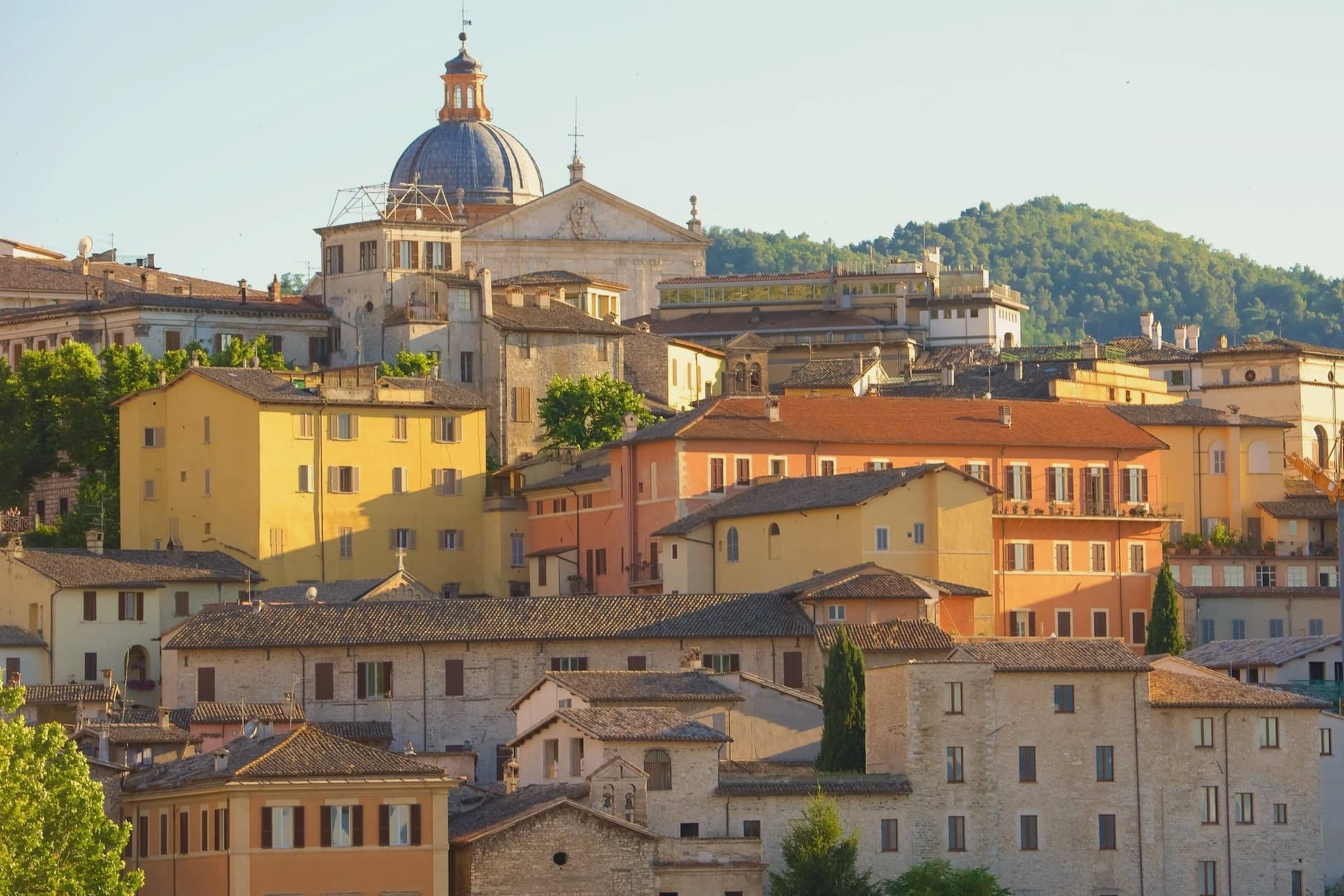
Spoleto sits at 396 meters at the southern edge of the Valle Umbra, the Apennines rising behind it toward Monteluco. The town was Roman Spoletium from 241 BC, then capital of one of the two great Lombard duchies of Italy from 576, controlling Umbria, Sabina, Picenum and the Pescara valley for more than five centuries.
The Rocca Albornoziana on the Colle Sant'Elia was built between 1363 and 1367 by Matteo Gattapone for Cardinal Albornoz, both a papal fortress and a residence, now the Museo Nazionale del Ducato. From the Rocca the Ponte delle Torri, 230 meters long and 80 meters high, crosses the Tessino gorge to Monteluco, an aqueduct of the 13th century built over Roman foundations.
The Duomo holds a Byzantine mosaic of 1207 across its façade and Filippo Lippi's last fresco cycle in the apse. Gian Carlo Menotti founded the Festival dei Due Mondi in 1958; the Roman theater, the Rocca courtyard and Piazza del Duomo still carry the program each year from late June into mid-July.
Apollinare, San Lorenzo, Il Capanno have been named by a guide.
What to see in Spoleto
- Rocca Albornoziana. Papal fortress built 1363-1367 by Matteo Gattapone for Cardinal Albornoz, now the Museo Nazionale del Ducato di Spoleto.
- Ponte delle Torri. Aqueduct bridge 230 meters long and 80 meters high, crossing the Tessino gorge to Monteluco, 13th-14th century on Roman foundations.
- Duomo di Santa Maria Assunta. Twelfth-century Romanesque cathedral with Byzantine mosaic of 1207 on the façade, Renaissance portico, and Filippo Lippi frescoes in the apse.
How to get to Spoleto
There is a railway station in the town, so you can arrive without a car and never need one while you are here. Terni is roughly 41 minutes away by road.
Our tip
April through June and September into October are the months for Spoleto. The town opens its gardens, the Rocca courtyard fills with sun, and the long walks along the Giro dei Condotti above the Ponte delle Torri become bearable again. The Festival dei Due Mondi runs from late June into mid-July, when Spoleto doubles in population and the Roman theater carries opera into the small hours. Sagra dell'Anguilla e del Gambero di Fiume falls in August.
Rieti
Why visit Rieti
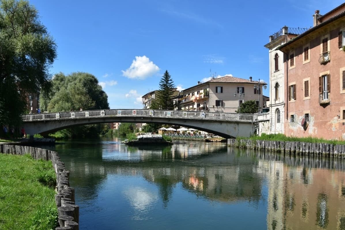
Rieti stands on a low rise at the edge of the Piana Reatina, the plain the Romans made when they drained the Lacus Velinus and sent its water over the cliff at Marmore. Medieval walls still close one side of the centro storico, and Via Roma runs down to the Velino and the stumps of the Roman bridge that carried the Via Salaria into town.
A marker in Piazza San Rufo stands for what Rieti has claimed for centuries: the umbilicus Italiae, the center of Italy. Popes stayed here often enough to build a palace beside the cathedral, and in 1234 Gregory IX canonized Saint Dominic inside it.
Saint Francis spent long stretches in the valley, which is why it is called the Valle Santa; the sanctuaries of Fonte Colombo and La Foresta are both in the comune. Above the plain, Monte Terminillo rises to 2,217 meters and is known as Rome's mountain.
In 2021 the town offered remote workers half their rent, up to 200 euros a month, to come and live here.
Bistrot have been named by a guide.
What to see in Rieti
- Cattedrale di Santa Maria Assunta. Romanesque outside and Baroque inside, built between 1109 and 1225 with a bell tower of 1252. Pope Gregory IX canonized Saint Dominic here in 1234.
- Palazzo Papale. The bishops' palace raised in 1283 for the papal court beside the cathedral, with a vaulted loggia at street level; it now holds part of the diocesan museum.
- Piazza San Rufo. A small square in the old town with a marker for the traditional center of Italy, the umbilicus Italiae.
How to get to Rieti
There is a railway station in the town, so you can arrive without a car and never need one while you are here. Terni is roughly 39 minutes away by road.
Our tip
April to October suits Rieti. Spring turns the plain green and fills the Velino; June is the Giugno Antoniano, which ends in the Processione dei Ceri, and late July brings the Palio della Tinozza, races in wooden tubs on the river. Summer is warm in town at 405 meters and cool on Terminillo, where the high trails open. Ottava de Santo Egidio falls in August.
Viterbo
Why visit Viterbo
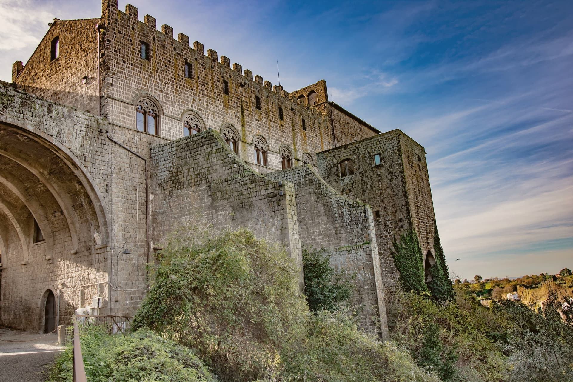
Viterbo sits at 326 meters in the Tuscia, surrounded by the volcanic Cimini hills and the thermal springs the Etruscans and Romans already used. The city became the favourite papal residence under Eugene III in the twelfth century; between 1257 and 1281, five popes were elected here, and the conclave of 1268-1271 ran nearly three years, the longest in Church history.
To end it, the city's people locked the cardinals inside the Palazzo dei Papi, tore the roof off, and reduced their rations. The decisive conclave is still the reason the word means a place under lock and key.
The San Pellegrino quarter is the largest continuous medieval district in central Italy, with profferli, the external stone staircases that climb to first-floor doorways. The Terme dei Papi outside the walls still draws sulfur-water bathers.
On 3 September the Macchina di Santa Rosa, a thirty-meter illuminated tower weighing five tons, is carried through the streets by a hundred Facchini, a tradition listed by UNESCO since 2013.
Il Casaletto, Bistrot, Agriristorante Il Casaletto and 1 more have been named by a guide.
What to see in Viterbo
- Palazzo dei Papi. Thirteenth-century papal palace with Gothic loggia and the Sala del Conclave, where the 1268-1271 conclave ran for nearly three years.
- Quartiere San Pellegrino. Largest continuous medieval quarter in central Italy, with stone profferli staircases, towers and the Piazza San Pellegrino.
- Terme dei Papi. Thermal complex outside the walls, fed by sulfur springs used since Etruscan times and named for the medieval popes.
How to get to Viterbo
There is a railway station in the town, so you can arrive without a car and never need one while you are here. Terni is roughly 58 minutes away by road.
Our tip
Viterbo works as a year-round destination because of the thermal springs. April through June and September into October give the easiest combination of clear weather, open monuments and warm pool water. July and August push the medieval quarter into the mid-thirties; the Macchina di Santa Rosa on 3 September is the single largest event in the calendar and the streets stay packed for the night. Festa Medievale Ludika 1243 a Viterbo falls in July.
More from Anywhere Italy
 The 9 best hidden hill towns that eat well within 90 minutes of Terni
 The prettiest villages that eat well within 90 minutes of Terni
- The best hill towns with a serious restaurant within 90 minutes of Terni
 The 10 best hidden hill towns you can reach by train within 90 minutes of Terni
- The prettiest villages you can reach by train within 90 minutes of Terni
 The 8 best hill towns on a walking route within 90 minutes of Terni