
The prettiest villages that eat well within 90 minutes of Terni
This is limestone country, where villages sit on spurs above the Nera and the Tiber and the houses are built from the same pale stone as the cliffs beneath them. Autumn is the season the region organises itself around: black truffles from the Valnerina, pork cured the Norcia way, lentils, chestnuts, new oil from the Sabina hills that still tastes green in November. Lunch tends to be handmade pasta cut thick, wild boar or lamb, and a bottle of Ciliegiolo or Grechetto from a producer a valley away. The medieval cores are small enough to cross on foot and steep enough that the walk earns the meal.
People arriving in this part of Umbria usually point the car at Assisi, or at the Marmore falls just outside Terni on a summer weekend, and both are busy for good reason. Assisi in particular absorbs coaches by the hundred, and its restaurants price accordingly. Orvieto and Spoleto take much of the rest, filling their squares from spring through the festival season. The result is that a great deal of southern Umbria gets seen from a car park.
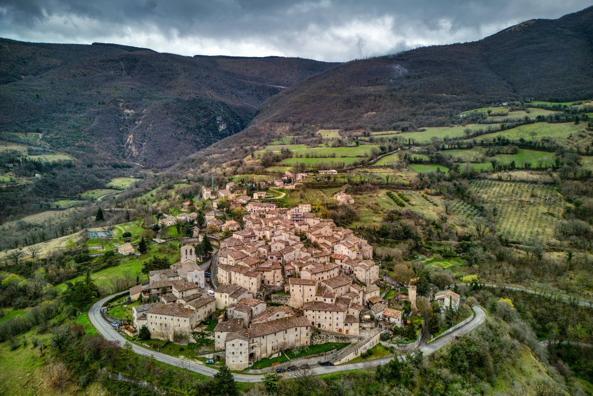
The same hills, the same truffle season and the same stone continue in every direction past those towns, and the villages in this list are where they carry on. Each has passed the national assessment of Italy's most beautiful villages, and in each a dining guide has named a table worth booking. Some sit on the edge of the Valnerina, some look across to Lazio, and all are within an easy drive of Terni. Fewer people go, and the kitchens are cooking for people who live there.
Of the 36 communes we have mapped within 90 minutes of Terni, 7 qualify as prettiest villages that eat well: each has passed the national assessment of Italy's most beautiful villages, and a dining guide has named a table in each. The smallest, Preci, has 681 residents.
Elsewhere in the catalogue: The 9 best hidden hill towns that eat well within 90 minutes of Terni and The best small towns that eat well in Umbria.
Preci
Why visit Preci
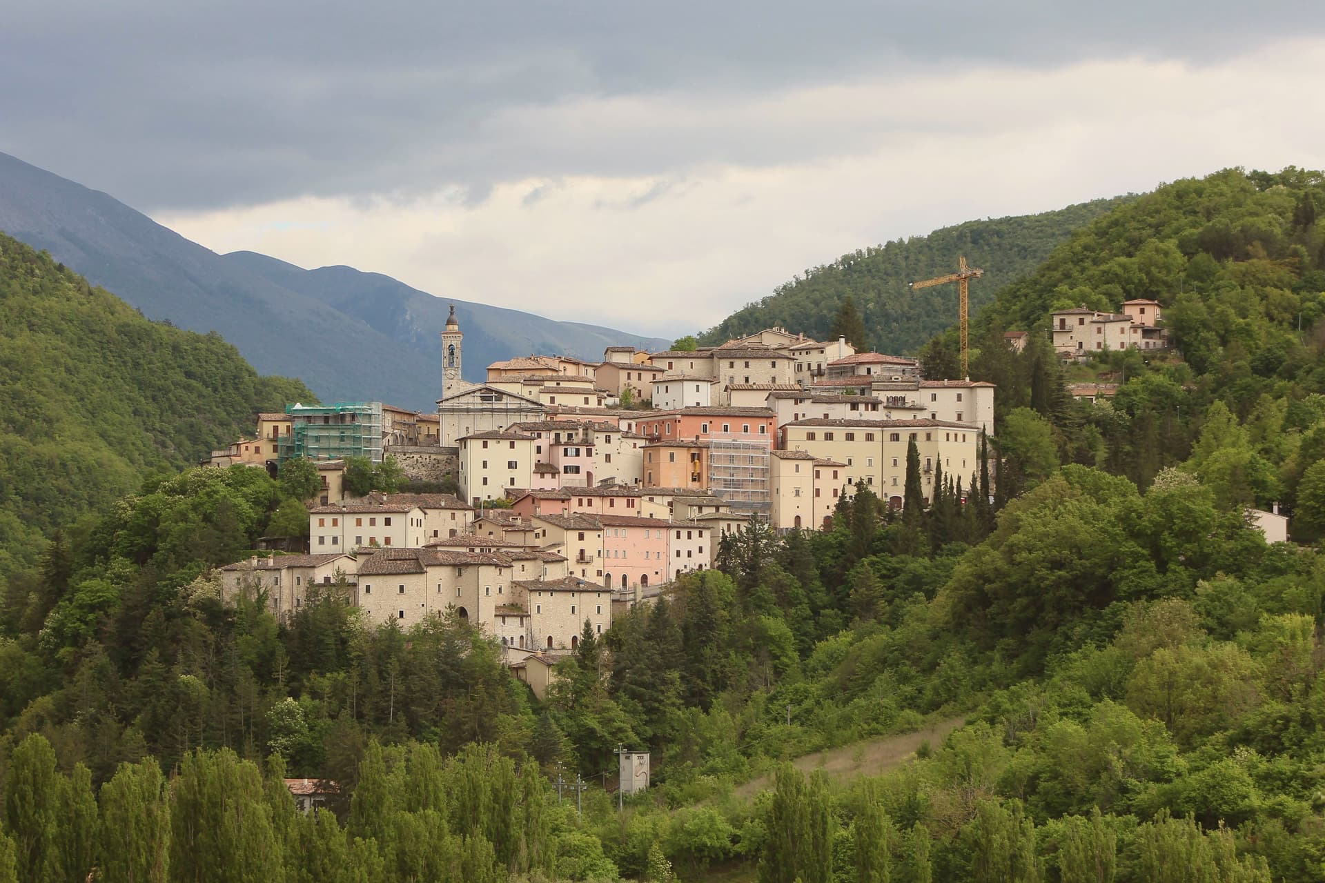
Preci sits at 596 meters in the Castoriana valley, inside the Monti Sibillini National Park and within driving distance of both Spoleto and Norcia. The walled borgo is crossed by the Campiano river and surrounded by mountain pasture.
The Abbazia di Sant'Eutizio, just outside the walls, is one of the oldest monasteries in Italy, founded by Syrian Benedictine monks in the fifth century. Their accumulated medical knowledge gave rise to the Preci school of surgery, which from the thirteenth to the eighteenth century supplied surgeons to royal courts across Europe; the local specialists worked in extraction of kidney stones, cataract surgery and hernia repair.
Noble palaces of the surgeon families still line the centro storico. The town was nearly destroyed by the 30 October 2016 earthquake, magnitude 6.5, which heavily damaged Sant'Eutizio; reconstruction is still in progress.
The Borghi più belli, Cittaslow and Parco Nazionale recognitions were retained through the rebuild.
Guaita Sant'Eutizio have been named by a guide.
What to see in Preci
- Abbazia di Sant'Eutizio. Benedictine monastery of 5th-century foundation, considered a place of origin for the Benedictine Order, heavily damaged in 2016 and under reconstruction.
- Centro storico fortificato. Walled medieval borgo on a hillside in the Castoriana valley, with noble palaces of the 16th-18th centuries built by the surgeon families.
- Museo della Scuola Chirurgica. Surgical school museum inside the Sant'Eutizio complex documenting the work of Preci surgeons from the 13th to 18th centuries.
How to get to Preci
Terni is roughly 90 minutes away by road.
Our tip
May through October is the working season at this elevation in the Valnerina. The Sibillini trails open in late spring and the Castoriana valley stays green through October. July and August are the months for the high trails to Piano Grande and Monte Vettore; the borgo itself stays cool in the upper twenties.
Bassano in Teverina
Why visit Bassano in Teverina
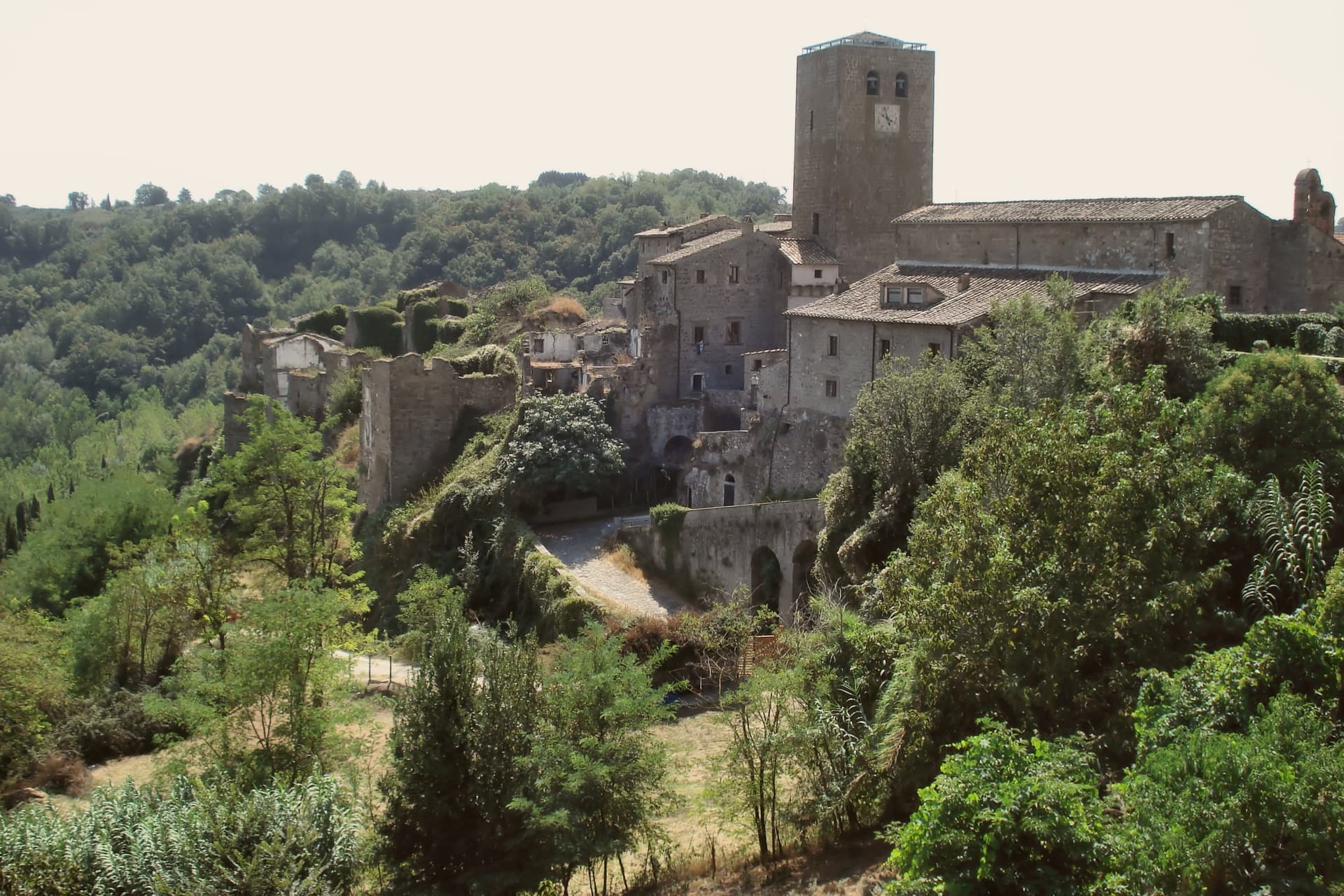
Bassano in Teverina sits at 304 meters on a tufa spur on the eastern offshoots of the Cimini hills, where Lazio meets Umbria above the Tiber valley. It is the smallest commune in the Tuscia Viterbese: 1,260 residents on a hill above the river.
The town is built around the Torre dell'Orologio, a twenty-five-meter peperino tower with a hand-painted majolica clock from around 1700 on its face. Inside it, walled into the structure, stands the Romanesque bell tower of the older church of the Madonna dei Lumi, built around 1100 and embedded within the new tower between 1559 and 1571 by the Madruzzo family.
The inner bell tower is one of the rare Italian campanili animati, with anthropomorphic figures carved into its peperino columns. The Madonna della Quercia chapel, built 1674-1678, stands around the oak where a tile of the Madonna and Child was found.
Bassano is a Borgo più Bello and a Città della Nocciola of the Tonda Gentile Romana DOP.
Olivo Ristorante dell'Olivo Country Club have been named by a guide.
What to see in Bassano in Teverina
- Torre dell'Orologio. Twenty-five-meter peperino tower of around 1500 with majolica clock face from 1700, built around an older Romanesque bell tower by the Madruzzo family.
- Campanile Animato (Madonna dei Lumi). Eleventh-century Romanesque bell tower walled inside the Torre dell'Orologio, with anthropomorphic figures carved into its peperino columns.
- Santuario della Madonna della Quercia. Built 1674-1678 around the oak where a tile of the Madonna and Child was found, on the road below the centro storico.
How to get to Bassano in Teverina
Terni is roughly 36 minutes away by road.
Our tip
April through June and September through October are the months for Bassano. Hazelnut groves leaf out in late April, harvest comes in late August into September, and the Tiber valley clears of haze in autumn. July and August touch the mid-thirties; the small centro storico empties in the afternoon heat.
Arrone
Why visit Arrone
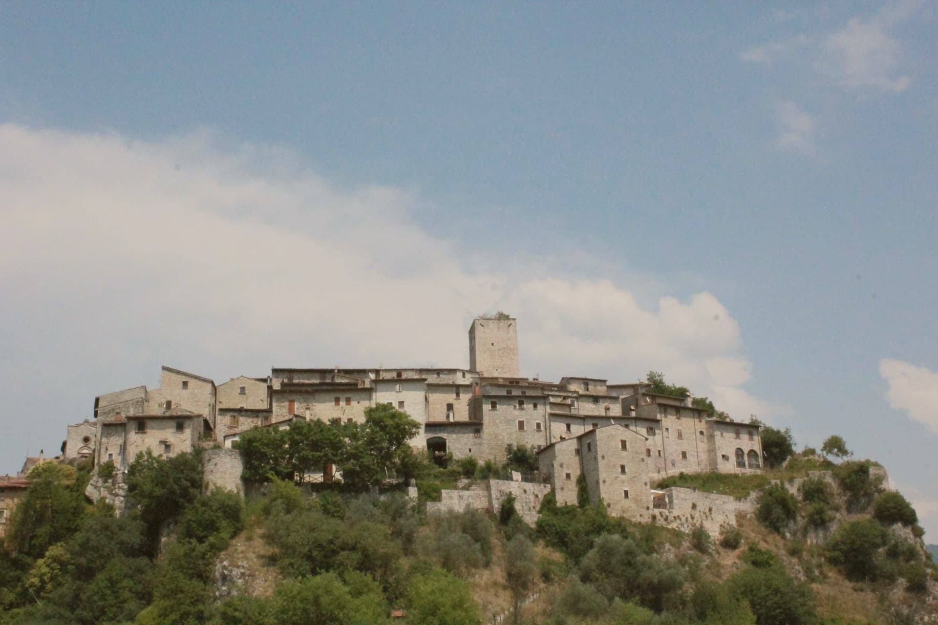
Arrone sits at 243 meters on the left bank of the Nera in the lower Valnerina, the upper part of the village a 9th- or 10th-century noble castle with its walls and alleys still in their medieval layout. The town grew up around the fortified hill and spread along the river as the danger faded.
The Cascata delle Marmore, the largest man-made waterfall in the world at 165 meters across three tiers, is five kilometers downstream; the Romans cut the original channel in 271 BC to drain the marshes around Rieti, and successive interventions through the 16th century gave the falls their present form. The Cammino di San Francesco passes through, and the village is the base for kayaking and rafting on the lower Nera.
The Chiesa di San Giovanni Battista in the upper castle holds 15th-century frescoes of the Umbrian school, and the collegiate Chiesa di Santa Maria in the lower village was rebuilt in the 16th century on Romanesque foundations.
Osteria dello Sportello have been named by a guide.
What to see in Arrone
- Castello di Arrone. Upper part of the village, the 9th-10th century castle, walls and steep medieval alleys preserved to the original layout.
- Chiesa di San Giovanni Battista. Fourteenth-century church inside the upper castle, with 15th-century frescoes of the Umbrian school, including a Madonna and saints.
- Chiesa Collegiata di Santa Maria. Sixteenth-century collegiate church in the lower village, rebuilt on Romanesque foundations, with frescoes by Vincenzo Tamagni.
How to get to Arrone
Terni is roughly 34 minutes away by road.
Our tip
April through June and September into October are the months for Arrone. The Nera runs full from snowmelt and spring rain, the rafting season opens, and the Cascata delle Marmore releases on a fixed schedule that suits the morning light. July and August touch the mid-thirties in the lower Valnerina; the falls cool the air around the basin, and the Cammino di San Francesco walkers pass through early.
Magliano Sabina
Why visit Magliano Sabina
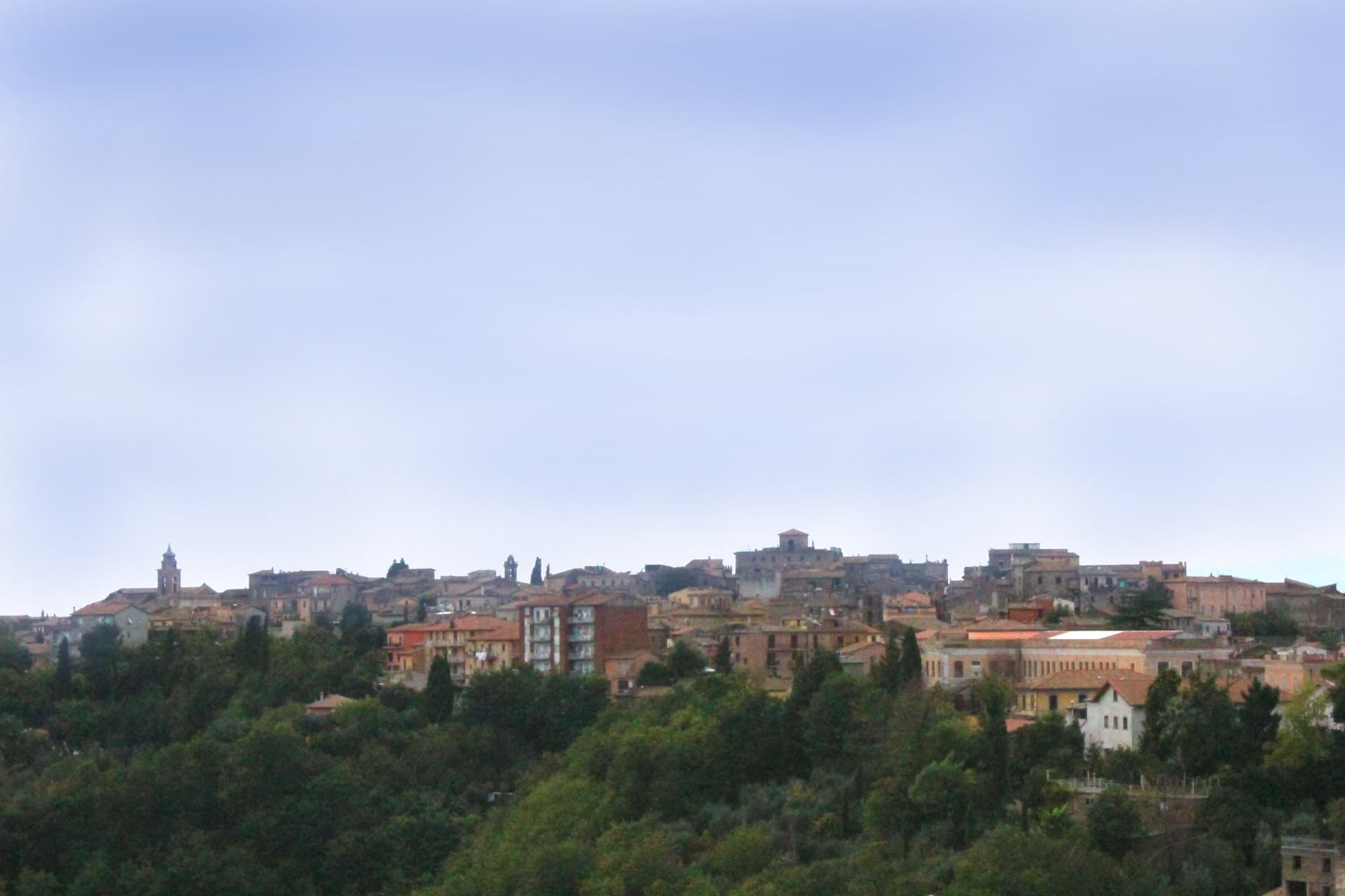
Magliano Sabina sits at 222 meters on a terrace above the Tiber valley, fifty kilometers north of Rome on the border between Lazio and Umbria. The hill above the river was Sabine ground; the Roman town of Ocriculum, just across in modern Umbria, was the regional anchor.
The medieval centre grew up under the Benedictine abbey of Farfa and passed to the Holy See in the fourteenth century, and the diocesan seat later moved up from the older episcopal site at Vescovio, in the comune's own territory, to the town's upper church. The upper town, walled and gathered around the Palazzo Comunale and the cathedral, occupies the terrace edge; the Vescovio remains lie apart in the surrounding countryside, marking where the diocese first sat before the seat moved uphill into Magliano itself.
From the ridge the ground gives way west to the Tiber and then climbs into Monte Soratte on the far bank, a view that alone earned the town membership in the Borghi più belli d'Italia in 2003. The town's standing, then, rests less on any single monument than on the relation between an old river crossing, an abbey's authority, and a line of sight that has drawn notice since antiquity.
Degli Angeli have been named by a guide.
What to see in Magliano Sabina
- Cattedrale di San Liberatore. The cathedral stands on Piazza Duomo, its stone façade the dominant note of the square and the seat around which the diocese has organized itself since the medieval period.
- Chiesa di San Pietro. Twelfth-century Romanesque church, one of the oldest standing buildings in town, with its original masonry preserved.
- Centro storico. Medieval upper town on the Tiber terrace, with the Palazzo Comunale, the diocesan seat and surviving sections of the village walls.
How to get to Magliano Sabina
There is a railway station in the town, so you can arrive without a car and never need one while you are here. Terni is roughly 41 minutes away by road.
Our tip
April through June and September through October are the strongest months in the Tiber valley. The Sabine olive country is green in spring and the panorama toward Monte Soratte opens cleanest after rain clears the haze. July and August touch the mid-thirties; the centro storico stays cooler than the river plain below, but the open ridge walks empty around midday.
Massa Martana
Why visit Massa Martana
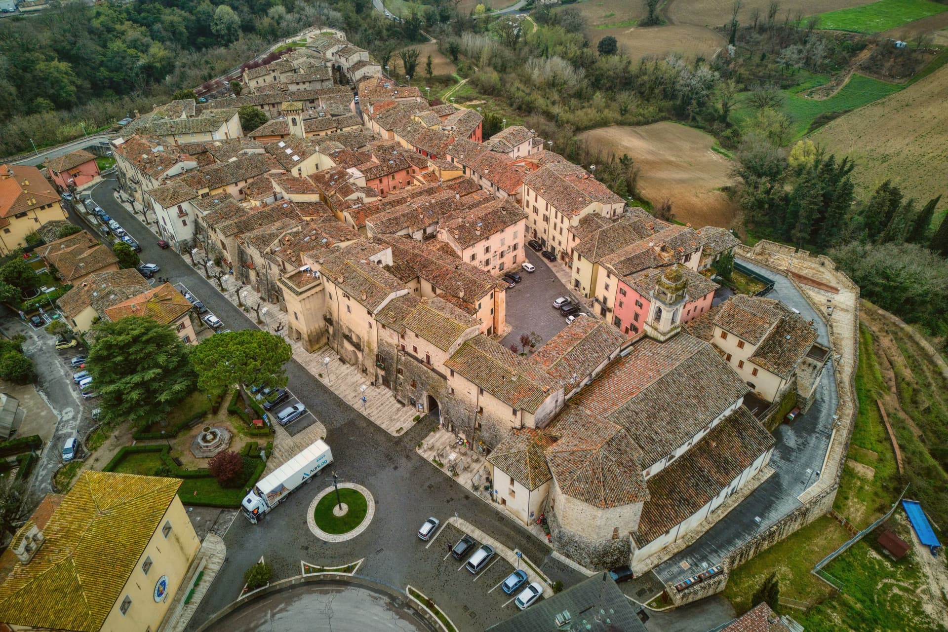
Massa Martana is here for the Roman road. The Via Flaminia (the original 220 BC consular road from Rome north over the Apennines to Rimini, the spine of Roman Italian infrastructure for 500+ years) passes directly through the village — and Massa Martana sits at exactly the point where the road begins climbing into the Apennine pre-massif, with sections of the original Roman paving still visible in the surrounding countryside.
This made the area an important late-antique Christian community: the Catacombe di Villa San Faustino (3-4 km north of the centro) are the only Roman-era Christian catacombs in all of Umbria — discovered 1968, in continuous use from the 3rd to the 6th c AD, with 200+ tombs, original frescoes, and Latin inscriptions. The Abbazia dei Santi Fidenzio e Terenzio (9th-c Benedictine, on the hill above town, with surviving Carolingian elements + 12th-c restorations) is the other major monastic-era survivor.
The town itself is 3,613 residents at 351m altitude in central Umbria, 17 km southeast of Todi, with a medieval-Renaissance centro that was severely damaged by the 26 September 1997 Marche-Umbria earthquake (the same event that brought down the vault of the Basilica di San Francesco in Assisi). The reconstruction was completed in stages through 2010, and the town was re-inscribed on the Borghi più belli d'Italia list after restoration.
Today the centro reads as a meticulously restored small medieval ensemble — the Porta Santa Maria, the Chiesa Madre di San Felice (rebuilt), the Palazzo Comunale, the Torre Civica. Surroundings: the Monti Martani limestone massif (the prehistoric source of the Martana name) rises immediately east, with marked hiking trails, the Lago di Corbara just south, and the Todi UNESCO-fortified town 17 km away.
The food is Umbrian: strangozzi with truffle (Umbria's signature pasta), porchetta, salumi, Pecorino, the local Sagrantino di Montefalco 25 km west. The Festa di San Felice (25 January) and the Sagra del Tartufo (October) are the year's main events.
Fontana delle Pere have been named by a guide.
What to see in Massa Martana
- Via Flaminia Roman road. Original 220 BC consular road from Rome to Rimini passes directly through. Sections of Roman paving visible in the surrounding countryside — the spine of Roman Italian infrastructure for 500+ years.
- Catacombe di Villa San Faustino. The only Roman-era Christian catacombs in all of Umbria — 3-4 km north of the centro, in use 3rd-6th c AD, with 200+ tombs, original frescoes, Latin inscriptions. Guided tours.
- Abbazia dei Santi Fidenzio e Terenzio. 9th-c Benedictine abbey on the hill above town. Surviving Carolingian elements + 12th-c restorations. The most important monastic survivor in the comune.
How to get to Massa Martana
There is a railway station in the town, so you can arrive without a car and never need one while you are here. Terni is roughly 32 minutes away by road.
Our tip
Massa Martana is best April–June and September–October. The Sagra del Tartufo in October is the year's culinary highlight. Festa di San Felice (25 January) is the winter patronal event.
Stroncone
Why visit Stroncone
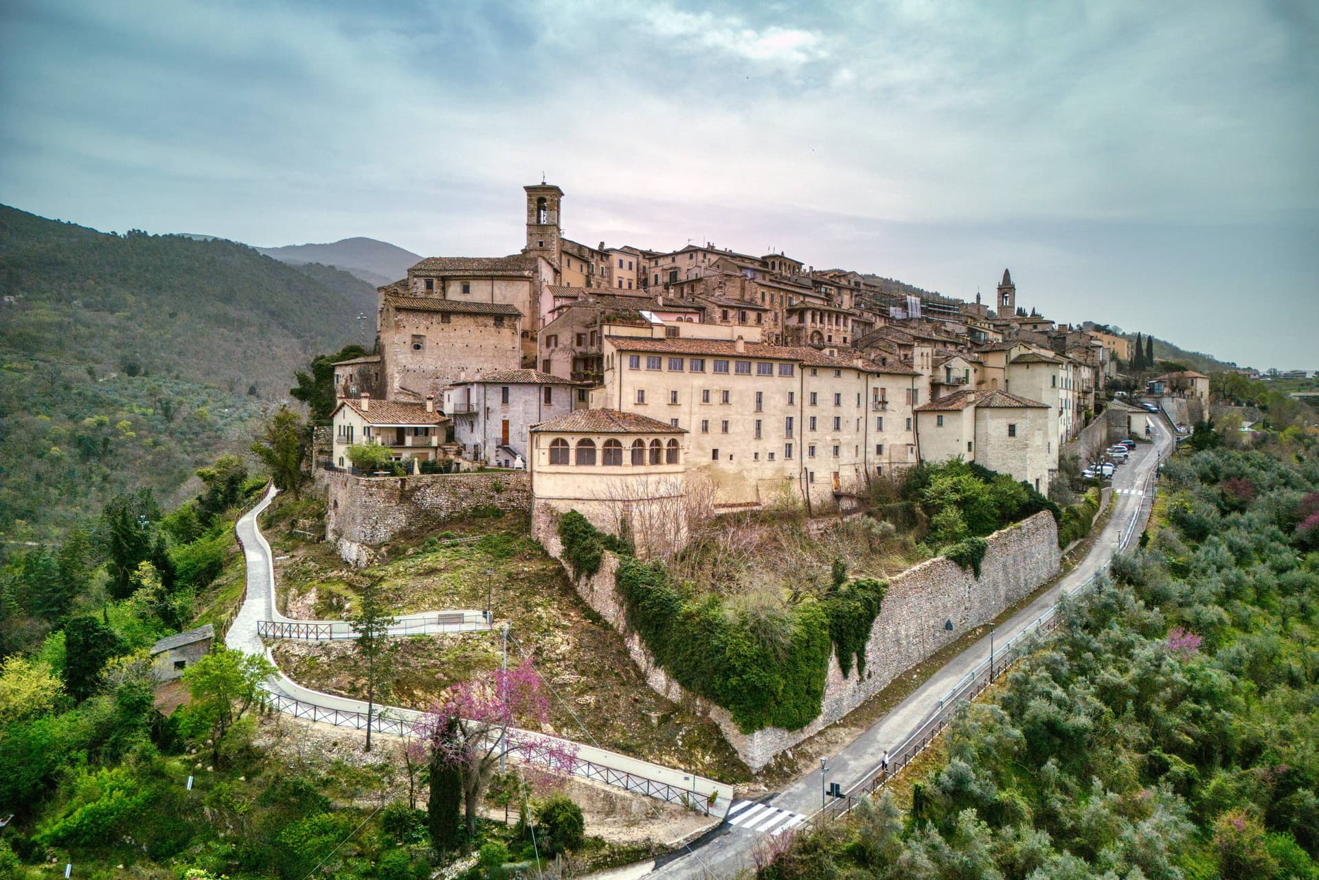
Stroncone sits at 451 meters on an olive-covered hill eight kilometers south of Terni, in the Conca Ternana on the western slope of the Apennine. The name traces to Duke Ugone of Spoleto, whose castrum Hugonis evolved through Castrugone and Strungone to the present form.
A group settled here around the tenth century and built a castle; Stroncone first appears in documents in 1012, when Giovanni di Pietro made a donation to the monastery of San Simeone. Pope Innocent III granted municipal self-rule in 1215.
The Convento di San Francesco, south of the walls, is one of the older Franciscan foundations in Umbria, founded by tradition by Francis himself in 1213, two years before papal recognition of the order. The medieval circuit walls remain almost complete, with the original gates framing a network of stepped lanes that climb to the small main square.
The Cammino di San Francesco passes through, picking up walkers between Rieti and Assisi.
Mammé have been named by a guide.
What to see in Stroncone
- Convento di San Francesco. Franciscan convent south of the walls, founded by tradition by Saint Francis in 1213, two years before papal recognition of the order.
- Centro storico. Walled medieval core with original gates intact, climbing through stepped lanes to the small main square at the top of the hill.
- Chiesa di San Giovanni Decollato. Main parish church at the heart of the borgo, with frescoed interior and a Renaissance baptismal font.
How to get to Stroncone
There is a railway station in the town, so you can arrive without a car and never need one while you are here. Terni is roughly 18 minutes away by road.
Our tip
April through June and September into October are the months for Stroncone. Olive harvest carries the autumn rhythm into late November, and the frantoi work into the evening through October and November. July and August are warm in the Conca Ternana but the hill is high enough that nights cool quickly. Sagra De u Cecu Maritu falls in July.
San Gemini
Why visit San Gemini
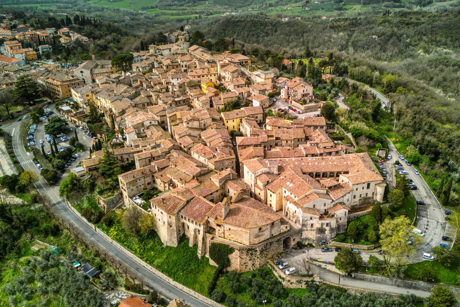
San Gemini sits at 337 meters on the southern slope of the Monti Martani, ten kilometers northwest of Terni. The archaeological park to the north preserves a stretch of polygonal Roman paving, a gate or honorary arch, an amphitheater, mosaic floors and the remains of an aqueduct, all part of a municipium abandoned probably after an earthquake.
The mineral springs rise just outside the populated centre, close enough that the town and the water source share the same ground without sharing a single street. The walled core steps down the slope in two halves that still define the town's rhythm: the district built around the old fortified height and the district gathered around the main square, each fielding its own team when the joust between them runs its course every year.
The cathedral, rebuilt in the nineteenth century but keeping a portal a great deal older, and the Gothic church on the square, each anchor their own end of the settlement. The Corpus Domini Infiorata blankets the procession route with petal mosaics nine weeks after Easter.
A hill town this size holding a Roman ruin, a bottled spring and a rivalry that still stages a joust suggests a place where the past was never cleared away to make room for the present, only built alongside it.
Origine al Grand Hotel San Gemini have been named by a guide.
What to see in San Gemini
- Parco Archeologico di Carsulae. Roman municipium four kilometers north of San Gemini, with the Via Flaminia paving, the Arco di San Damiano, amphitheater and aqueduct remains.
- Chiesa di San Francesco. Thirteenth-century Gothic church on the main square, single nave with pointed arches, alongside Palazzo Canova.
- Duomo di San Gemine. Originally twelfth-century late Gothic cathedral, rebuilt in the nineteenth century by Livoni with consultation from Antonio Canova, keeping a fifteenth-century portal.
How to get to San Gemini
There is a railway station in the town, so you can arrive without a car and never need one while you are here. Terni is roughly 16 minutes away by road.
Our tip
April through June and September into October are the dependable months. The Infiorata di Corpus Domini covers the procession route with petal mosaics nine weeks after Easter, usually early June. The Giostra dell'Arme runs over two weeks at the end of September into early October, the rioni in fifteenth-century costume, the joust in the main piazza. Giostra dell'Arme falls in September.
More from Anywhere Italy
 The 9 best hidden hill towns that eat well within 90 minutes of Terni
- The best small towns that eat well in Umbria
- The best towns you can reach by train that eat well within 90 minutes of Terni
 The prettiest villages you can reach by train within 90 minutes of Terni
- The 10 best hidden hill towns you can reach by train within 90 minutes of Terni
- The 10 prettiest hidden villages you can reach by train in Umbria