
The best hill towns with a serious restaurant within 90 minutes of Terni
This is the Italy of ridge roads and stone towns built where the rock was already high, with the Tiber valley running south and the Martani hills folding away to the east. The building material changes as you go: pale travertine and grey limestone in Umbria, dark volcanic tufa around the Cimini, so a town's colour tells you which side of the river you are on. Autumn is the season the kitchens have been waiting for, when black truffle comes up from the oak woods, the new oil is green and peppery, and menus turn to farro, wild pigeon, guinea fowl and lentils from the plain. Terni sits in the middle of it, unglamorous and well connected, and the drive out of it in almost any direction climbs within minutes.
Most visitors to this part of the country point themselves at Assisi, and the reasons are obvious: the basilica, the frescoes, the pink stone above the plain. It absorbs coach parties from Rome and Florence all year, and the streets below the upper church move at the pace of a queue. Eating there is possible and sometimes very good, but the tables that matter book out early and the ones that do not are set up for people passing through once.
The same hills carry on past it, and so does the cooking. These are inland towns on high ground within a comfortable drive of Terni, each with a restaurant that the strictest of the guides has thought worth listing, which in this landscape usually means a small dining room, a short menu and a cook who buys from the same valley every week. Fewer people make the detour, which is mostly a question of the road rather than the food.
Of the 36 communes we have mapped within 90 minutes of Terni, 7 qualify as hill towns with a serious restaurant: each is an inland hill settlement, and each holds a restaurant listed by the most demanding of the guides. The smallest, Magliano Sabina, has 3,433 residents.
Elsewhere in the catalogue: The best towns you can reach by train that eat well within 90 minutes of Terni and The 9 best hill towns with a serious restaurant in Lazio.
Magliano Sabina
Why visit Magliano Sabina
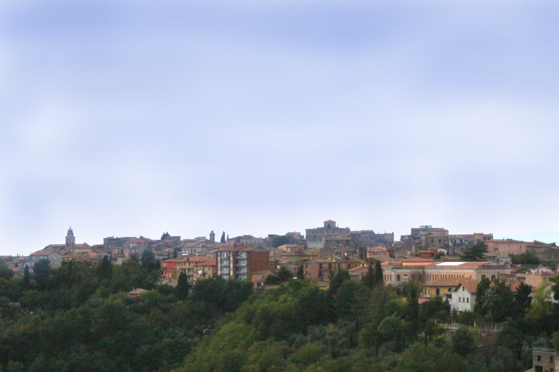
Magliano Sabina sits at 222 meters on a terrace above the Tiber valley, fifty kilometers north of Rome on the border between Lazio and Umbria. The hill above the river was Sabine ground; the Roman town of Ocriculum, just across in modern Umbria, was the regional anchor.
The medieval centre grew up under the Benedictine abbey of Farfa and passed to the Holy See in the fourteenth century, and the diocesan seat later moved up from the older episcopal site at Vescovio, in the comune's own territory, to the town's upper church. The upper town, walled and gathered around the Palazzo Comunale and the cathedral, occupies the terrace edge; the Vescovio remains lie apart in the surrounding countryside, marking where the diocese first sat before the seat moved uphill into Magliano itself.
From the ridge the ground gives way west to the Tiber and then climbs into Monte Soratte on the far bank, a view that alone earned the town membership in the Borghi più belli d'Italia in 2003. The town's standing, then, rests less on any single monument than on the relation between an old river crossing, an abbey's authority, and a line of sight that has drawn notice since antiquity.
Degli Angeli have been named by a guide.
What to see in Magliano Sabina
- Cattedrale di San Liberatore. The cathedral stands on Piazza Duomo, its stone façade the dominant note of the square and the seat around which the diocese has organized itself since the medieval period.
- Chiesa di San Pietro. Twelfth-century Romanesque church, one of the oldest standing buildings in town, with its original masonry preserved.
- Centro storico. Medieval upper town on the Tiber terrace, with the Palazzo Comunale, the diocesan seat and surviving sections of the village walls.
How to get to Magliano Sabina
There is a railway station in the town, so you can arrive without a car and never need one while you are here. Terni is roughly 41 minutes away by road.
Our tip
April through June and September through October are the strongest months in the Tiber valley. The Sabine olive country is green in spring and the panorama toward Monte Soratte opens cleanest after rain clears the haze. July and August touch the mid-thirties; the centro storico stays cooler than the river plain below, but the open ridge walks empty around midday.
Amelia
Why visit Amelia
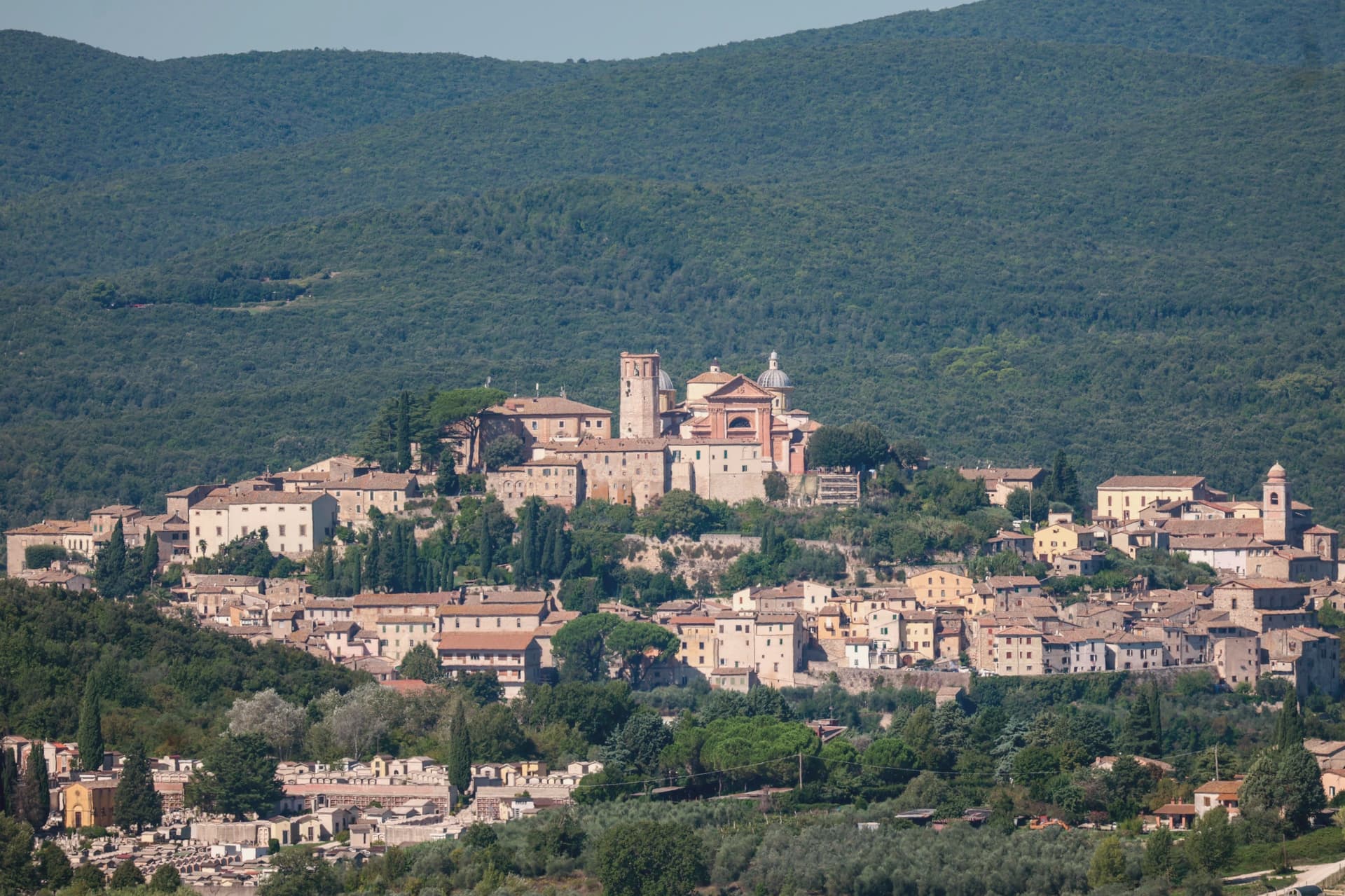
Amelia sits on a hill between the Tiber and the Nera, sixty kilometers south of Perugia and close to the Lazio border. The walls that ring the town predate the Roman conquest, and when Amelia later became a Roman municipium, the town built outward and downward at once: terraces and roads above ground, and below the main square, a system of parallel cisterns cut to hold the settlement's water.
The gate on the old Via Amerina still marks the approach from outside, its current travertine form the result of sixteenth-century rework. Just beyond it, a bronze cuirassed general over two meters tall lay buried until 1963, when it surfaced and was moved into the town's archaeological museum.
The cathedral at the upper end of the centro storico carries its own layer of history, re-dedicated in the ninth century under a pope, and stands apart from the defensive and civic works that dominate the rest of the town's fabric. Amelia joined the Cittaslow network in 2004, and each summer the chamber-music festival founded in 1968 turns the town's attention outward to a different country's repertoire.
The town's layers sit on top of each other rather than beside each other: pre-Roman defense, Roman engineering, medieval faith, and a modern festival calendar all occupying the same small hill in sequence.
Tenuta del Gallo have been named by a guide.
What to see in Amelia
- Mura poligonali. Up to 6 meters high in places, the blocks fitted without mortar along the line that still defines the edge of the old town.
- Cisterne romane. The chambers measure 57.5 by 19.6 meters and sit directly beneath the paving of Piazza Matteotti, invisible from the square above.
- Duomo di Santa Firmina. Cathedral re-dedicated to Saint Firmina around 872 under Pope Adrian II, at the upper end of the centro storico.
How to get to Amelia
Terni is roughly 33 minutes away by road.
Our tip
April through June and September into October are the working months: dry air, light on the polygonal walls, evenings on the Cittaslow corso. The Festival delle Nazioni runs late August into early September and draws audiences from Rome and beyond. July and August reach the mid-thirties; at 406 meters the centro storico breathes better than the Terni basin but afternoons still empty. Palio dei Colombi falls in July.
Todi
Why visit Todi
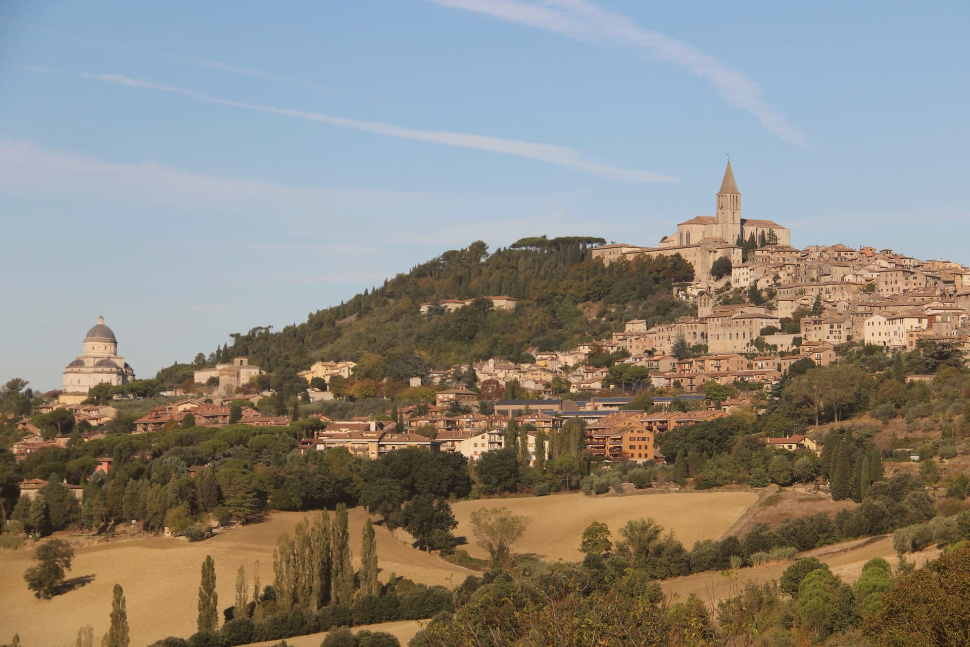
The hill the town occupies, Colle Nidoli, rises above the middle Tiber, and the settlement is built as three concentric ring walls rather than one: Etruscan and Roman courses at the base, a medieval circuit at the summit, the whole sequence readable from the hills around it. The square at the top sits directly over a Roman forum, and the cisterns cut beneath that forum still carry water and drainage for the town today, so the working infrastructure underfoot is as old as anything visible above ground.
The building on the square with the triple window keeps that window from the thirteenth century. The lower ground beyond the medieval walls holds the Roman niches, the surviving wall of a first-century BC public building, set at the foot of the town rather than within its defended core, a reminder that the settlement's Roman life extended past what the medieval walls later enclosed.
Outside the walls in the other direction stands the Renaissance temple, built over a century between 1508 and 1607, deliberately separated from the dense center it complements. Todi's layout is less a single town than a stack of settlements, Etruscan, Roman, medieval, Renaissance, each occupying its own ring or its own ground beyond the walls, none erasing what came before it.
Fiorfiore have been named by a guide.
What to see in Todi
- Piazza del Popolo. Square on the highest point of Colle Nidoli, built over Roman cisterns still in use, ringed by cathedral, Palazzo dei Priori, and Palazzo del Capitano.
- Cattedrale della Santissima Annunziata. Twelfth-century cathedral on the site of a Roman temple, north end of Piazza del Popolo, Gothic rose window and a fresco of the Last Judgment by Faenzone inside.
- Tempio di Santa Maria della Consolazione. Outside the walls rather than within the medieval fabric of the center, its dome fifty meters high, a solitary geometric mass against the surrounding hillside.
How to get to Todi
There is a railway station in the town, so you can arrive without a car and never need one while you are here. Terni is roughly 37 minutes away by road.
Our tip
April through June and September into October are the months locals prefer. The Tiber valley below stays green or gold depending on the half, and the upper terraces hold light into the evening. Todi Festival runs in late August with concerts and theater in the centro storico.
Caprarola
Why visit Caprarola
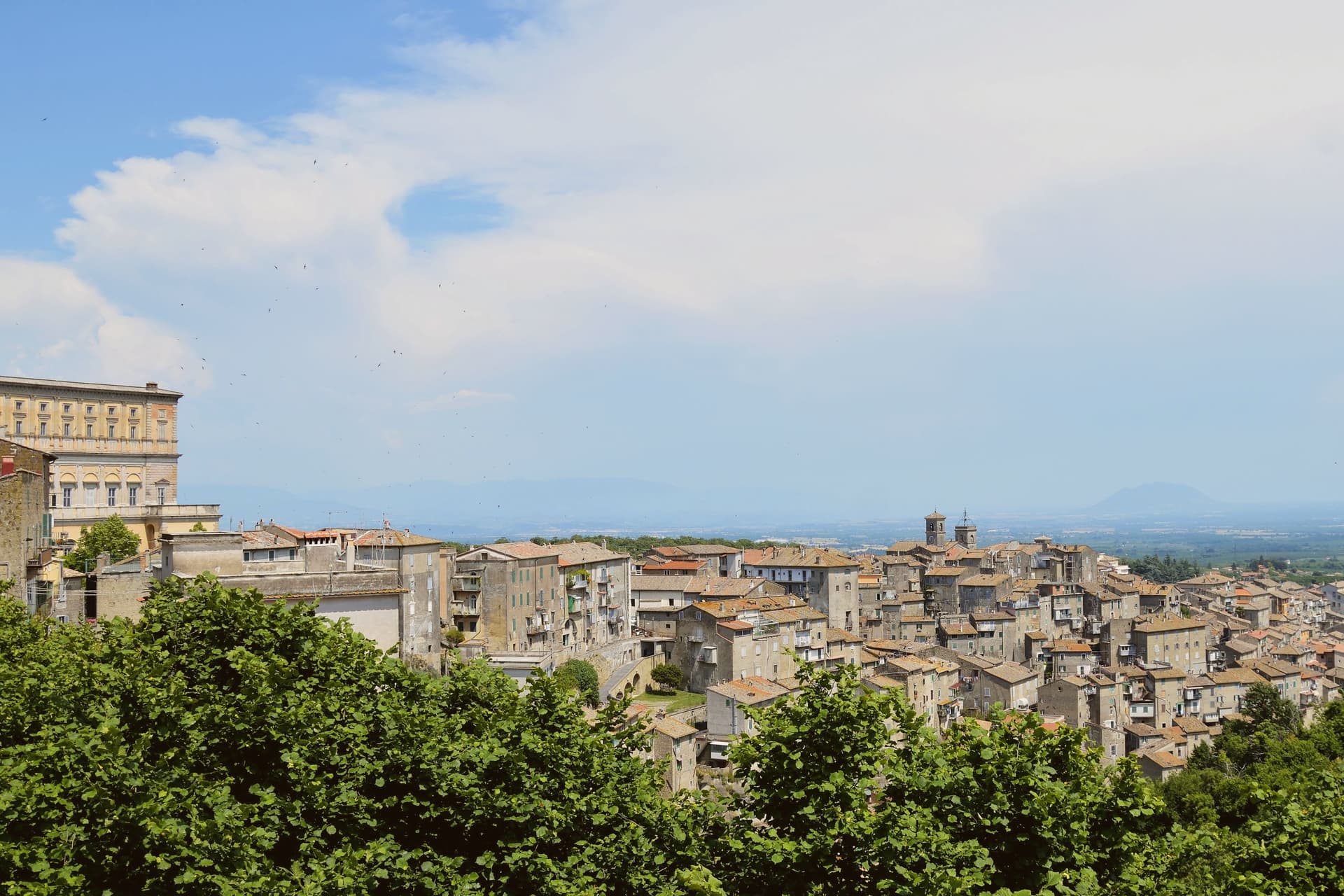
Caprarola stands at about 510 meters on the volcanic slopes of the Cimini, six kilometers east of Lago di Vico. The town is built on a single axis that climbs from the lower village to the Villa Farnese, the pentagonal Renaissance palace that organises everything below it.
Antonio da Sangallo the Younger designed the original fortress in 1530; after Sangallo's death the work was suspended, and Cardinal Alessandro Farnese the Younger reassigned it to Vignola in 1559. Vignola kept the pentagonal plan but turned it from a fortress into a Mannerist residence, with a circular colonnaded courtyard at its center, a scala regia spiraling between floors and the fresco cycles of the Zuccari brothers.
The plan was the model later copied for the Pentagon in Washington. Behind the villa, the Giardini Farnese climb into the chestnut and beech woods of the Cimini.
Caprarola is part of the Città della Nocciola and Città del Castagno networks, a recognition of the volcanic soils that produce both.
Trattoria del Cimino, Vineria Vignola Salumeria e cucina have been named by a guide.
What to see in Caprarola
- Villa Farnese. Pentagonal Mannerist palace by Vignola, built 1559-1573 on Sangallo's earlier fortress plan, with a circular colonnaded courtyard.
- Giardini Farnese. Sixteenth-century formal garden and casino di caccia behind the villa, climbing into the chestnut woods of the Cimini.
- Lago di Vico. Volcanic crater lake at 510 meters, one of the highest of the major Italian lakes, shared with Ronciglione.
How to get to Caprarola
Terni is roughly 67 minutes away by road.
✷ We have written about Caprarola
“We went there on a Saturday in July, straight from Ronciglione, since it is about a 15-minute drive. We expected hordes. I don’t remember exactly, but I’m sure there were no more than 10 people there, including us two. Literally no one was there. The garden, which is huge and worth a trip alone, was completely empty and only for us.”
Read our piece on Caprarola →Caprarola | The town that became a driveway
Our tip
April through June and September into October are the months for the villa and the Cimini woods, when the chestnut canopy holds shade and Lago di Vico is at its clearest. July and August push the lower town into the low thirties; the high ceilings of the Villa Farnese keep visitors cool through the heat. The hazelnut harvest runs late August and September, the chestnut harvest follows in October, and both fill the surrounding sagre. Hazelnut Festival falls in August.
Orvieto
Why visit Orvieto
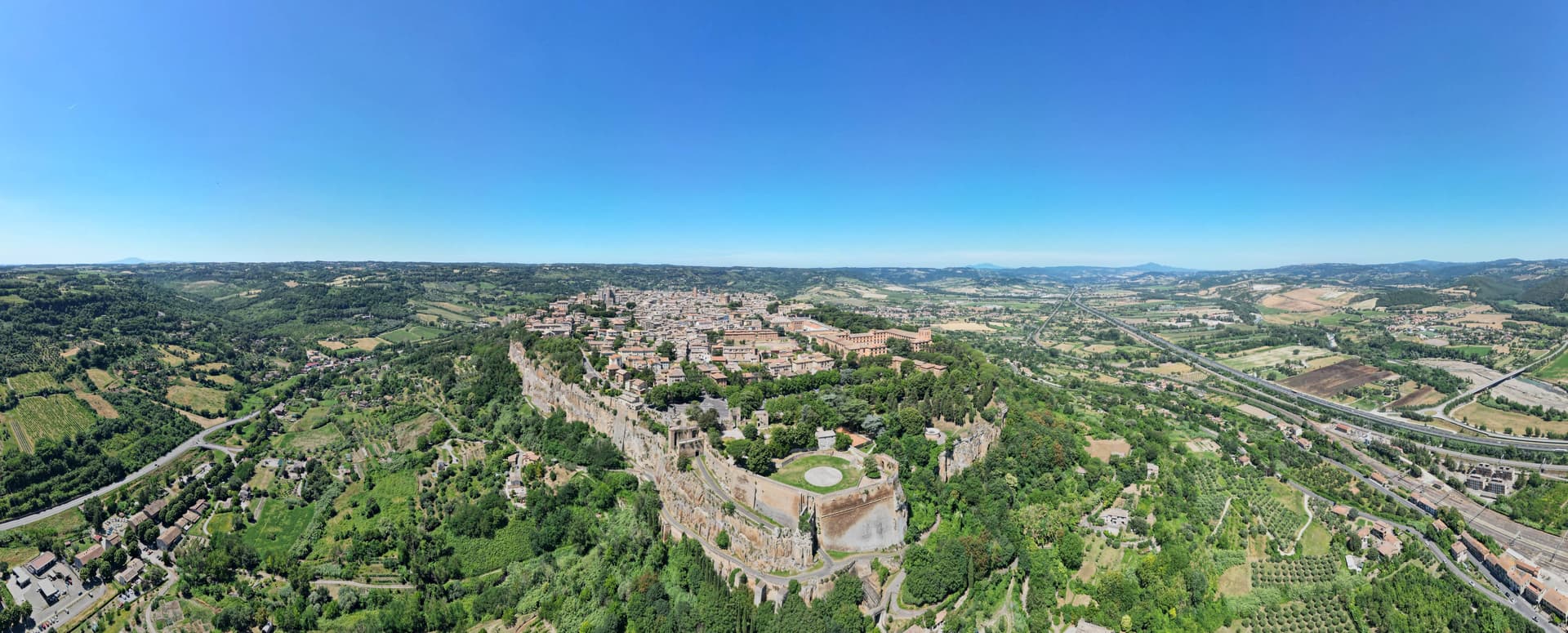
Orvieto sits on a flat-topped butte of volcanic tuff at 325 meters, the cliffs 195 meters above the surrounding plain. The town began as Velzna, a flourishing Etruscan metropolis, and the Romans destroyed it in 264 BC.
The medieval town that replaced it on the same plateau became a papal refuge in the 13th century, when popes left Rome for the safety of the height. The town's layers sit one below the other rather than side by side: the cliff face is honeycombed with Etruscan and medieval cavities, cisterns and pigeon roosts cut into the same tuff that the necropolis at its foot was carved into during the 6th century BC, while the cathedral and its chapel occupy the surface above, and the well descends back down through the rock to reach water.
What looks from a distance like a single stone crown is in fact three towns stacked in the same column of tuff: the dead below, the popes and their cathedral on top, and a passage cut straight through the middle to keep the town supplied.
Da Gregorio, Coro, I Sette Consoli and 4 more have been named by a guide.
What to see in Orvieto
- Duomo di Orvieto. The polychrome marble façade rises in tiers of mosaic and sculpture, the decorative Gothic worked into bands of color rather than left plain stone.
- Cappella di San Brizio. The Last Judgment fills the chapel wall to wall, figures twisting and falling across the vault and lunettes inside the cathedral.
- Pozzo di San Patrizio. Sunk for Pope Clement VII, the shaft drops 53 meters, lit by windows cut into the walls of the two ramps so the descent is never dark. Antonio da Sangallo the Younger designed it to move water and mules at once, without either crossing the other's path.
How to get to Orvieto
There is a railway station in the town, so you can arrive without a car and never need one while you are here. Terni is roughly 56 minutes away by road.
Our tip
April through June and September into October are the months for Orvieto. The plateau holds the long light, the Paglia valley below is green or gold, and the white wine of the surrounding vineyards is poured at every osteria. Umbria Jazz Winter runs around New Year and fills the Teatro Mancinelli; the Corpus Domini procession on the second Sunday after Pentecost is the most concentrated religious event of the year. Sagra del Bosco falls in September.
Spoleto
Why visit Spoleto
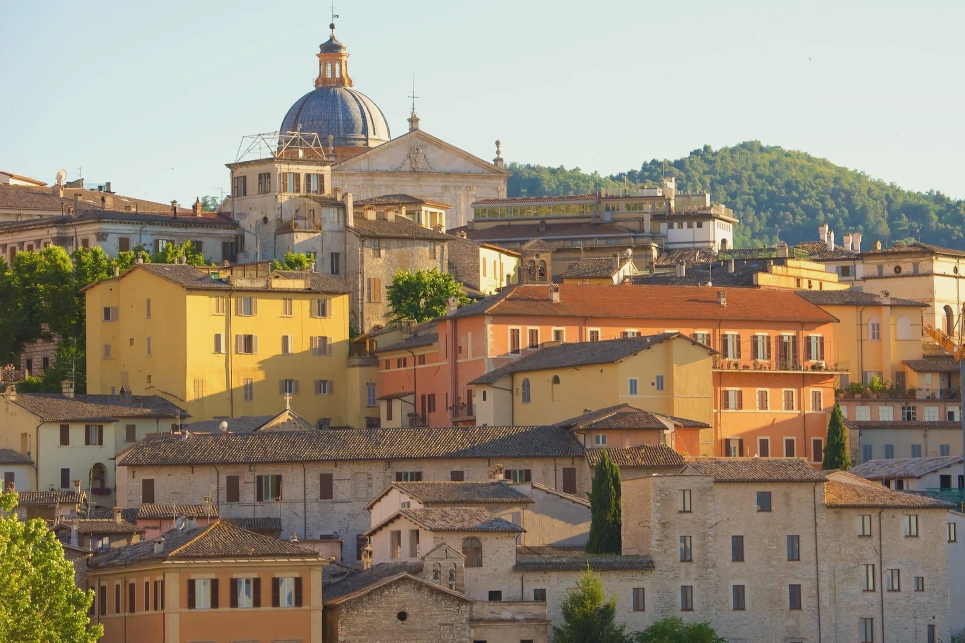
Spoleto sits at 396 meters at the southern edge of the Valle Umbra, the Apennines rising behind it toward Monteluco. The town was Roman Spoletium from 241 BC, then capital of one of the two great Lombard duchies of Italy from 576, controlling Umbria, Sabina, Picenum and the Pescara valley for more than five centuries.
The Rocca Albornoziana on the Colle Sant'Elia was built between 1363 and 1367 by Matteo Gattapone for Cardinal Albornoz, both a papal fortress and a residence, now the Museo Nazionale del Ducato. From the Rocca the Ponte delle Torri, 230 meters long and 80 meters high, crosses the Tessino gorge to Monteluco, an aqueduct of the 13th century built over Roman foundations.
The Duomo holds a Byzantine mosaic of 1207 across its façade and Filippo Lippi's last fresco cycle in the apse. Gian Carlo Menotti founded the Festival dei Due Mondi in 1958; the Roman theater, the Rocca courtyard and Piazza del Duomo still carry the program each year from late June into mid-July.
Apollinare, San Lorenzo, Il Capanno have been named by a guide.
What to see in Spoleto
- Rocca Albornoziana. Papal fortress built 1363-1367 by Matteo Gattapone for Cardinal Albornoz, now the Museo Nazionale del Ducato di Spoleto.
- Ponte delle Torri. Aqueduct bridge 230 meters long and 80 meters high, crossing the Tessino gorge to Monteluco, 13th-14th century on Roman foundations.
- Duomo di Santa Maria Assunta. Twelfth-century Romanesque cathedral with Byzantine mosaic of 1207 on the façade, Renaissance portico, and Filippo Lippi frescoes in the apse.
How to get to Spoleto
There is a railway station in the town, so you can arrive without a car and never need one while you are here. Terni is roughly 41 minutes away by road.
Our tip
April through June and September into October are the months for Spoleto. The town opens its gardens, the Rocca courtyard fills with sun, and the long walks along the Giro dei Condotti above the Ponte delle Torri become bearable again. The Festival dei Due Mondi runs from late June into mid-July, when Spoleto doubles in population and the Roman theater carries opera into the small hours. Sagra dell'Anguilla e del Gambero di Fiume falls in August.
Rieti
Why visit Rieti
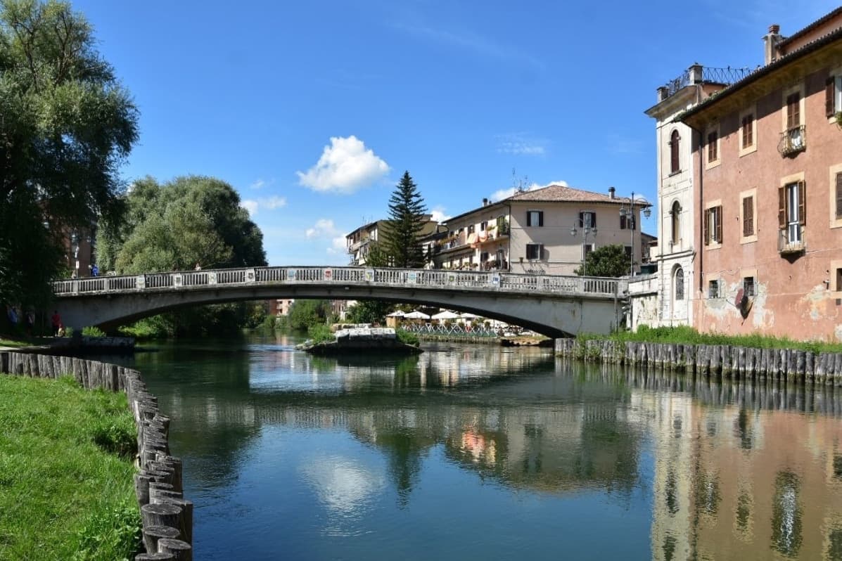
Rieti stands on a low rise at the edge of the Piana Reatina, the plain the Romans made when they drained the Lacus Velinus and sent its water over the cliff at Marmore. Medieval walls still close one side of the centro storico, and Via Roma runs down to the Velino and the stumps of the Roman bridge that carried the Via Salaria into town.
A marker in Piazza San Rufo stands for what Rieti has claimed for centuries: the umbilicus Italiae, the center of Italy. Popes stayed here often enough to build a palace beside the cathedral, and in 1234 Gregory IX canonized Saint Dominic inside it.
Saint Francis spent long stretches in the valley, which is why it is called the Valle Santa; the sanctuaries of Fonte Colombo and La Foresta are both in the comune. Above the plain, Monte Terminillo rises to 2,217 meters and is known as Rome's mountain.
In 2021 the town offered remote workers half their rent, up to 200 euros a month, to come and live here.
Bistrot have been named by a guide.
What to see in Rieti
- Cattedrale di Santa Maria Assunta. Romanesque outside and Baroque inside, built between 1109 and 1225 with a bell tower of 1252. Pope Gregory IX canonized Saint Dominic here in 1234.
- Palazzo Papale. The bishops' palace raised in 1283 for the papal court beside the cathedral, with a vaulted loggia at street level; it now holds part of the diocesan museum.
- Piazza San Rufo. A small square in the old town with a marker for the traditional center of Italy, the umbilicus Italiae.
How to get to Rieti
There is a railway station in the town, so you can arrive without a car and never need one while you are here. Terni is roughly 39 minutes away by road.
Our tip
April to October suits Rieti. Spring turns the plain green and fills the Velino; June is the Giugno Antoniano, which ends in the Processione dei Ceri, and late July brings the Palio della Tinozza, races in wooden tubs on the river. Summer is warm in town at 405 meters and cool on Terminillo, where the high trails open. Ottava de Santo Egidio falls in August.
More from Anywhere Italy
- The best towns you can reach by train that eat well within 90 minutes of Terni
- The 9 best hill towns with a serious restaurant in Lazio
 The 9 best hidden hill towns that eat well within 90 minutes of Terni
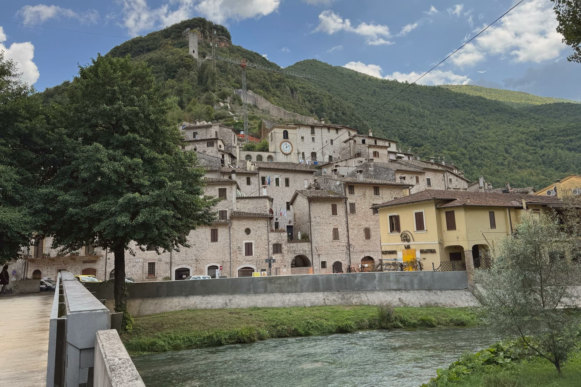 The 8 best hill towns on a walking route within 90 minutes of Terni
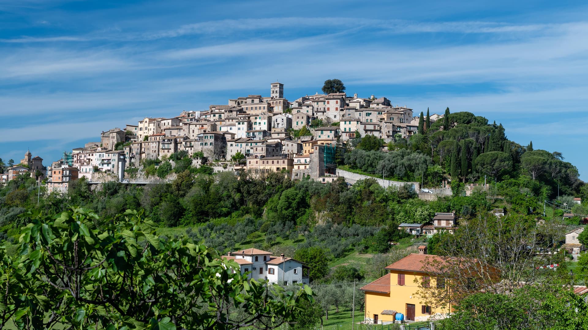 The best hill towns with a food festival within 90 minutes of Terni
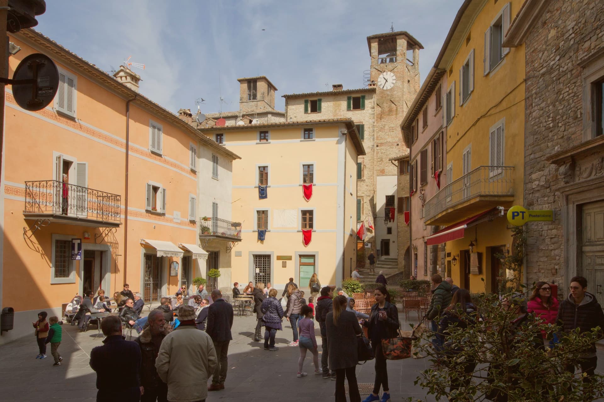 The best hill towns with a serious restaurant in the province of Perugia