
Umbria · Terni
Stroncone
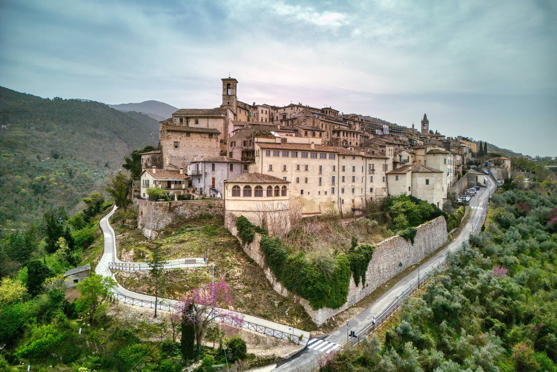
A walled medieval borgo eight kilometers south of Terni, with a Franciscan convent traditionally founded by Francis himself in 1213.
- Best time
- Apr–Oct
- By car
- 1 h 21 min from Perugia
- By train
- Station in the comune
- Population
- 4,629
Known for
FRANCIS IN 1213
The Convento di San Francesco south of the walls, founded by tradition by Francis himself in 1213, two years before papal recognition.
WALLED BORGO
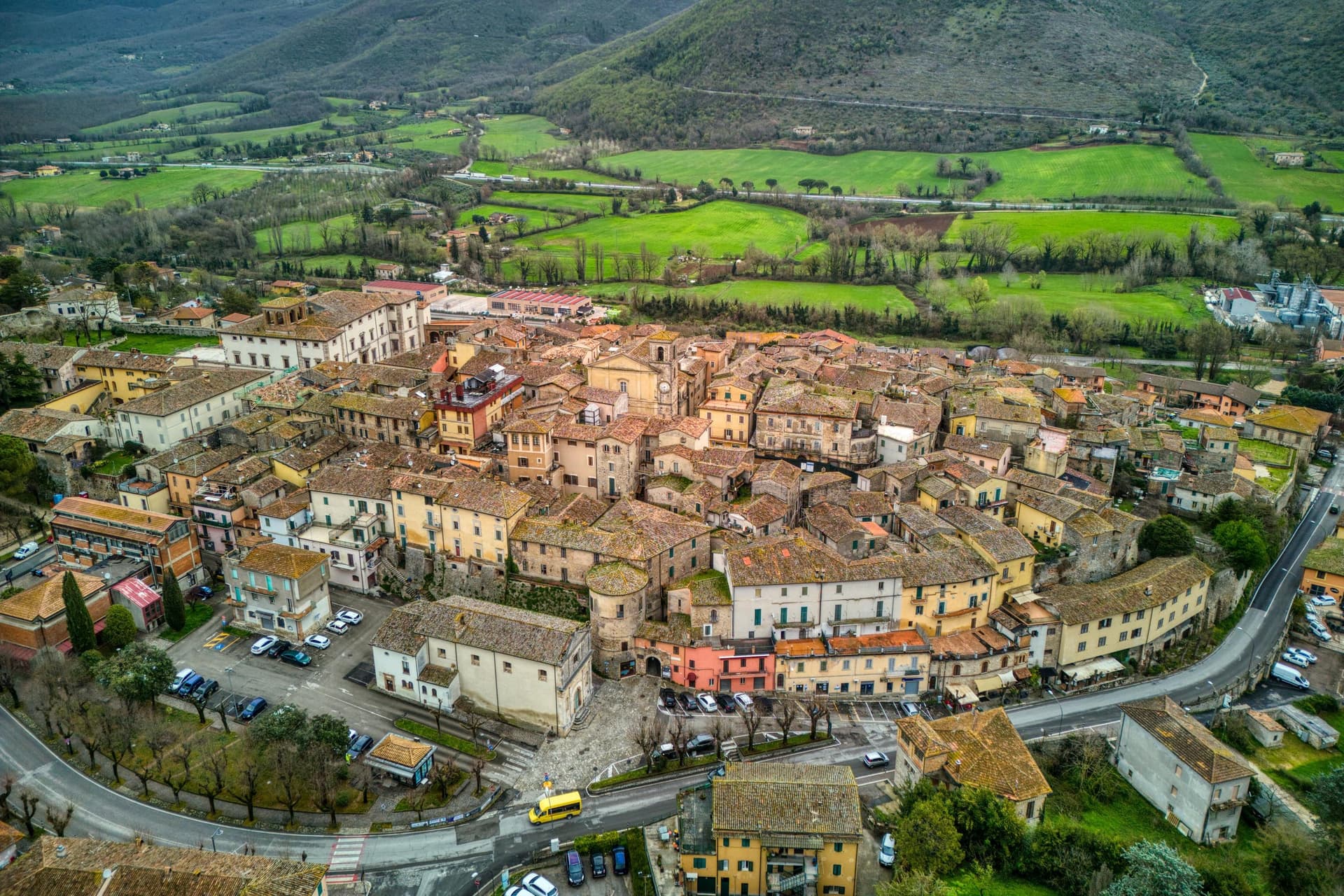
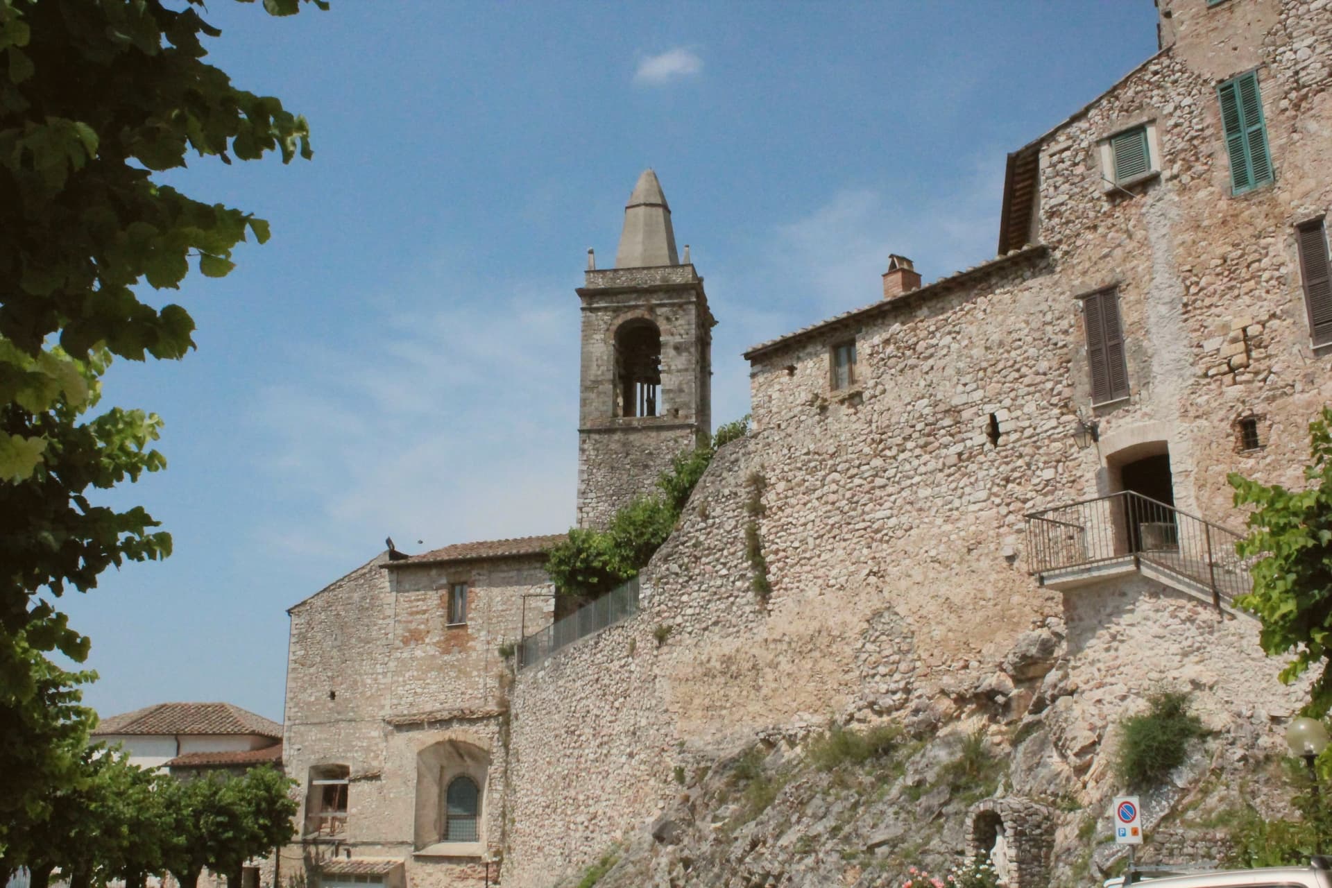
An almost complete medieval circuit and original gates, with the stepped lanes climbing toward the small main square unchanged for centuries.
OLIVE HILL
Stroncone sits on the olive-covered slope above Terni, the surrounding groves the working backdrop of the town and its frantoi.
When to visit
Best · Apr–Oct
- J10°
- F12°
- M14°
- A17°
- M22°
- J27°
- J32°
- A31°
- S25°
- O20°
- N15°
- D11°
- Best
- Hot or crowded
- Quiet
- Mostly closed
Daytime averages, 2020–2024. Weather data by Open-Meteo.com.
Why come
Stroncone sits on an olive-covered hill eight kilometers south of Terni, in the Conca Ternana on the western slope of the Apennine. The name traces to Duke Ugone of Spoleto, whose castrum Hugonis evolved through Castrugone and Strungone to the present form. A group settled here around the tenth century and built a castle; Stroncone first appears in documents in 1012, when Giovanni di Pietro made a donation to the monastery of San Simeone.
Pope Innocent III granted municipal self-rule in 1215. The Convento di San Francesco, south of the walls, is one of the older Franciscan foundations in Umbria, founded by tradition by Francis himself in 1213, two years before papal recognition of the order. The medieval circuit walls remain almost complete, with the original gates framing a network of stepped lanes that climb to the small main square. The Cammino di San Francesco passes through, picking up walkers between Rieti and Assisi.
The Sunday letter
Stroncone is on our list. Its letter is still to come.
We are writing about all 1,000 of these towns, one at a time, in a free letter every Sunday: the photo, the food, the festa. That is our mission. Sign up and you will be there when Stroncone comes up. By Peter & Sophia, from Pietrasanta.
Read on
Stroncone in our articles
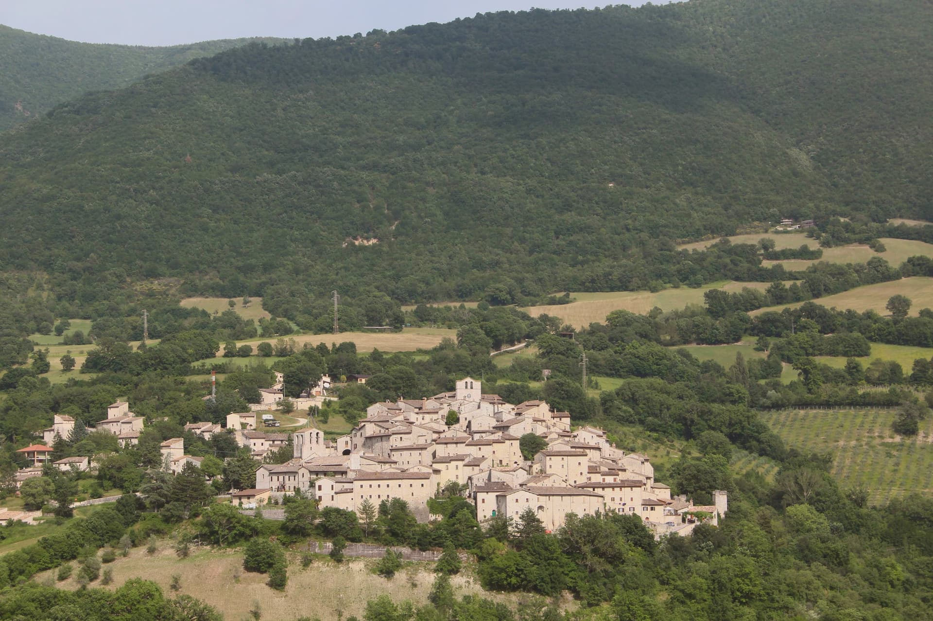
 The best towns you can reach by train in the province of Terni6 towns, Stroncone among them.
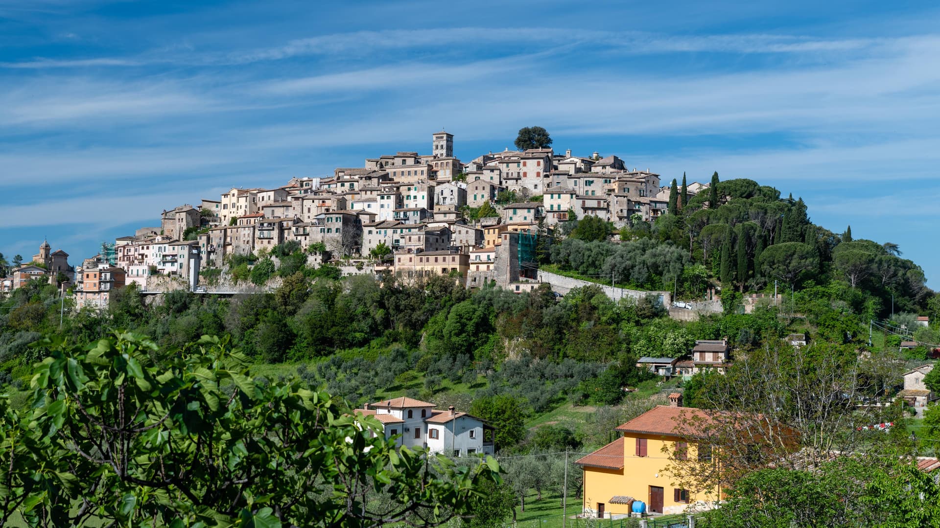
 The 7 best small towns you can reach by train in Umbria7 towns, Stroncone among them.
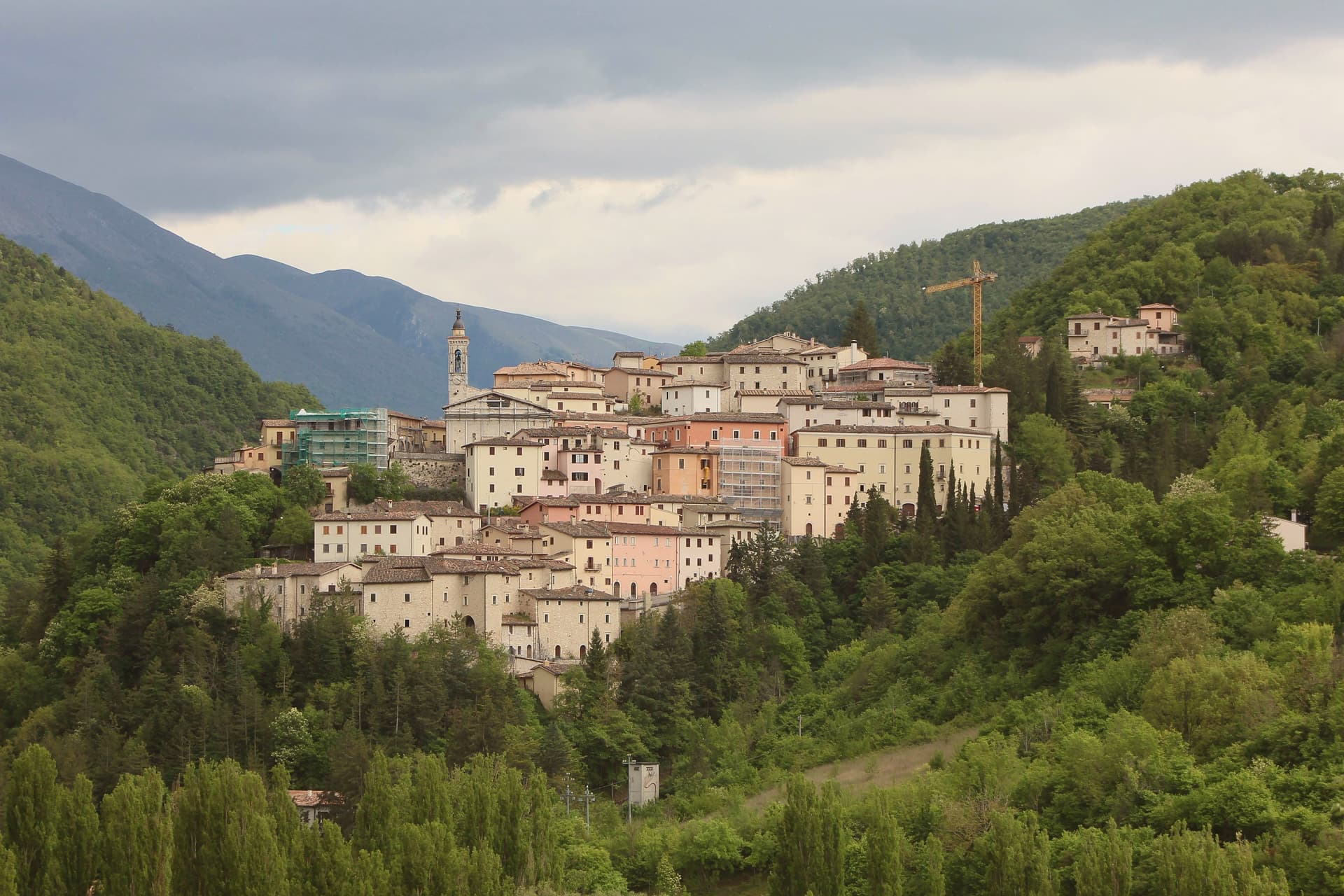
 The best hill towns with a food festival within 90 minutes of Terni7 towns, Stroncone among them.
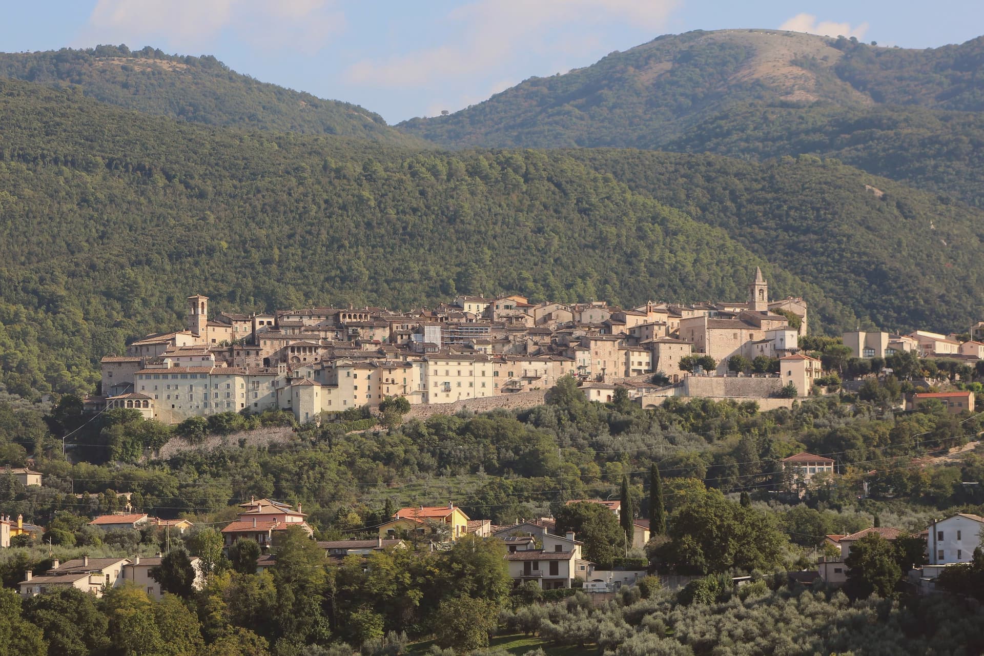
 The prettiest villages that eat well within 90 minutes of Terni7 towns, Stroncone among them.
How to get there
From Rome (FCO), about 2h 11m by car.
Ancona / Pescara (AOI) is about 2h 45m away.
By car from the centre of Perugia 1h 21m or Siena 2h 29m.
There is a railway station in the comune, so you can arrive without a car.
Coming from Rome?
Coming by train into Perugia? Stroncone is about 1h 20m away by road.
What to see
Convento di San Francesco
Franciscan convent south of the walls, founded by tradition by Saint Francis in 1213, two years before papal recognition of the order.
Centro storico
Walled medieval core with original gates intact, climbing through stepped lanes to the small main square at the top of the hill.
Chiesa di San Giovanni Decollato
Main parish church at the heart of the borgo, with frescoed interior and a Renaissance baptismal font.
Piazza centrale
Small main square at the upper end of the centro storico, framed by the medieval Palazzo Comunale and the parish church.
Belvedere sulla Conca Ternana
Panoramic terrace on the southern walls, looking across the Terni basin toward the Sabine hills and the slopes that hold the olive groves.
The slow-trip planner
Building a trip? Find where Stroncone fits in a slow Italy circuit.
Answer five questions. We will shape a geographically coherent slow trip from the 1,000 Italian towns most travelers skip. Yours to save and share.
We recommend
Where to eat
Not our picks, but places the guides put their name to: a Michelin star, a Gambero Rosso fork, a Slow Food snail, a Michelin Key for the hotels. Worth a table, a counter, or a night when you pass through.
MamméRistorante
Mammé has one Gambero Rosso fork (76/100) to its name.
Through the year
What happens here
Feasts and festivals that come back year after year. We give the month rather than the date, because the date moves and the month rarely does. Check with the source before you plan a journey around one.
Sagra De u Cecu Maritufood festival
usually held in July. TrovaSagre
Living here
- Population 4,629
- Commuter belti
- Pharmacy in town
- High school within a 30-minute drive
- Train station in the comune
- Nearest airport Rome, 2 h 11 min drive
- Regional capital Perugia, 1 h 21 min drive
Common questions
- What is Stroncone known for?
- Stroncone is a walled medieval borgo at 451 meters eight kilometers south of Terni, with a Franciscan convent traditionally founded by Francis himself in 1213.
- Where is Stroncone?
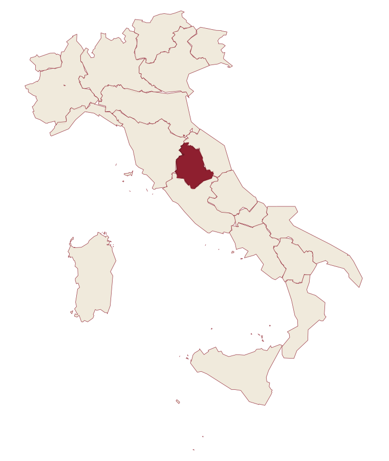
- Stroncone is a comune in the province of Terni, in Umbria.
- What is the nearest airport to Stroncone?
- Rome (FCO), about 2h 11m by car.
- Can you get to Stroncone without a car?
- Yes. There is a railway station in the comune, so you can arrive by train.
- How long is the drive from Perugia to Stroncone?
- About 1h 21m by car.
- When is the best time to visit Stroncone?
- Best in Apr–Oct. July is the warmest month, averaging 32 degrees, and May the wettest, with about 14 rain days.
- Is there a sagra or a festival in Stroncone?
- Yes. Sagra De u Cecu Maritu. July is when the first of them falls.
- Which other towns are like Stroncone?
- Acquasparta, San Gemini and Vitorchiano.
- How many people live in Stroncone?
- 4,629 at the 2023 count.
Tags & datadesignations · numbers · sources
Recognised as
The numbers
- Elevation: 451 m
- Population: 4,629
- Surface area: 71.17 km²
These figures were compiled from public directories: ISTAT, OpenStreetMap and Wikidata, and from the official listings of the guides named on this page. Town details change; verify with official sources before you travel.
Similar
Towns like Stroncone
Acquasparta
Province: Terni
both inland, away from the coast · both between 3,000 and 10,000 people
San Gemini
Province: Terni
both inland, away from the coast · both between 3,000 and 10,000 people
Vitorchiano
Province: Viterbo
both inland, away from the coast · both between 3,000 and 10,000 people
Ronciglione
Province: Viterbo
both inland, away from the coast · both between 3,000 and 10,000 people
Nocera Umbra
Province: Perugia
both inland, away from the coast · both between 3,000 and 10,000 people
Trevi
Province: Perugia
both inland, away from the coast · both between 3,000 and 10,000 people
🎨 Borghi più belli d'Italia
More Borghi più belli d'Italia towns in Umbria
Acquasparta
Province: Terni
A hill town at 350 meters above the Naia valley, where a Renaissance duchy briefly became the seat of Europe's first scientific academy.
Allerona
Province: Terni
A stone borgo at 472 meters between the Paglia valley and the Valdichiana, an Orvieto outpost whose Monaldeschi castle fell to Charles V.
Arrone
Province: Terni
Medieval castle village on the left bank of the Nera at 243 meters, upstream from the largest man-made waterfall in the world.
Bettona
Province: Perugia
A hill town at 353 meters between the Topino and Chiascio rivers, the only Etruscan settlement ever built east of the Tiber.
Bevagna
Province: Perugia
Roman Mevania on the Umbrian plain at 225 meters, four medieval quarters that compete every June in a reconstructed market of the 13th century.