
Tuscany · Siena
Chiusdino
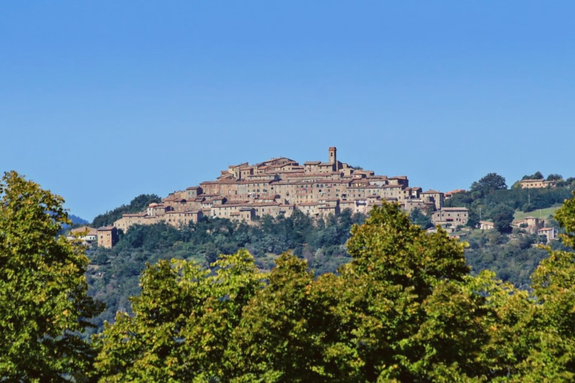
A medieval village at 564 meters in the Val di Merse, above a roofless Cistercian abbey.
- Best time
- Apr–Oct
- By car
- 1 h from Siena
- Population
- 1,751
Known for
SWORD IN THE STONE
Galgano Guidotti drove his sword into a rock at Montesiepi on Christmas Day 1180; the blade is still embedded there.
ROOFLESS ABBEY
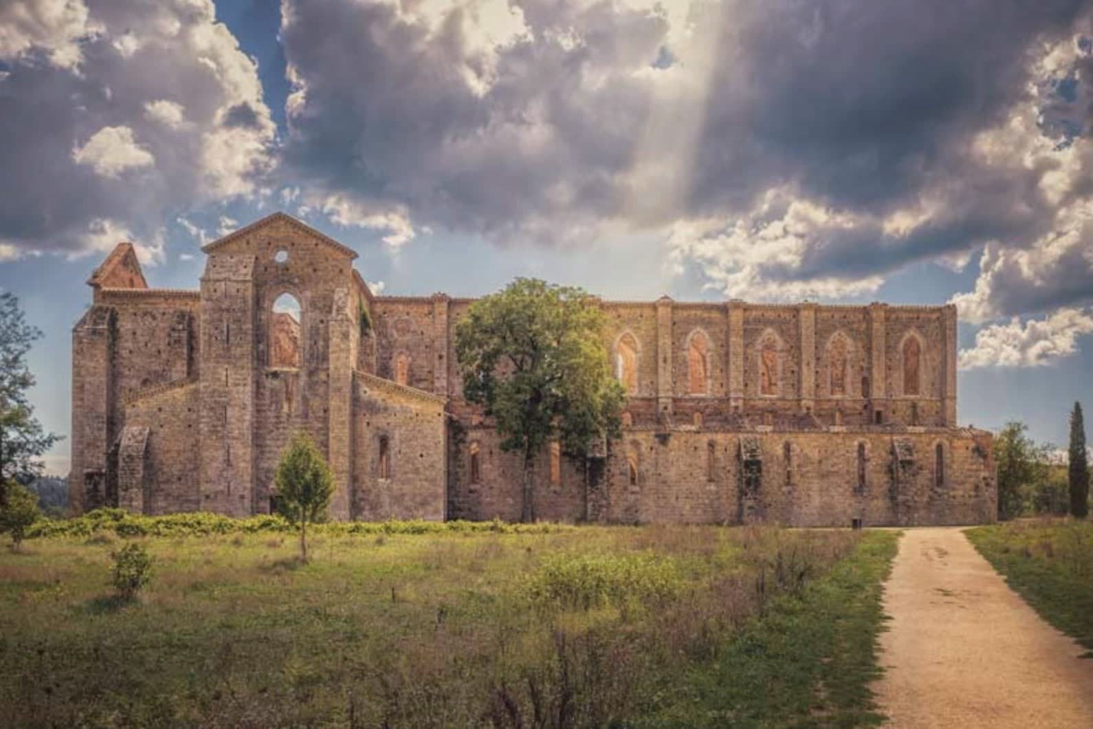
Thirteenth-century Cistercian church on the Merse valley floor, its roof gone since 1786, the walls and arches preserved open to the sky.
HONEY
Città del Miele member; the chestnut and acacia woods of the Merse valley feed the production of monofloral honeys.
When to visit
Best · Apr–Oct
- J9°
- F11°
- M12°
- A15°
- M20°
- J25°
- J30°
- A30°
- S24°
- O19°
- N13°
- D10°
- Best
- Hot or crowded
- Quiet
- Mostly closed
Daytime averages, 2020–2024. Weather data by Open-Meteo.com.
Why come
Chiusdino was founded under Lombard rule between 568 and 569, on a metalliferous hill between the Val di Farma and the upper Merse. The village sits at 564 meters; five kilometers below it, on the floor of the Merse valley, the ground opens into flatter pasture where the Cistercians later built. The two sites read as a pair: the hill town where a wealthy knight was born around 1148, and the valley floor where, a century later, an entire abbey rose to mark what he had done above it on Monte Siepi.
Galgano climbed that hill on Christmas Day 1180, drove his sword into a rock as a cross, and lived as a hermit until he died the following year. Pope Lucius III canonized him in 1185. Metallurgical analysis has dated the blade still fixed in the stone to the late twelfth century, which places the object itself in the period the story claims for it. The Cistercians who built below, between the 1220s and 1280s, worked in the French Gothic style at the scale of a cathedral; when the roof came down in 1786 it was never replaced, and the church has stood open to the weather since. A hill settlement, a hermit's rock above it, and an unroofed church on the valley floor below: three sites at different elevations, each holding a different stage of the same account.
The Sunday letter
Chiusdino is on our list. Its letter is still to come.
We are writing about all 1,000 of these towns, one at a time, in a free letter every Sunday: the photo, the food, the festa. That is our mission. Sign up and you will be there when Chiusdino comes up. By Peter & Sophia, from Pietrasanta.
Read on
Chiusdino in our articles
 The best small towns with a serious restaurant in the province of Siena6 towns, Chiusdino among them.
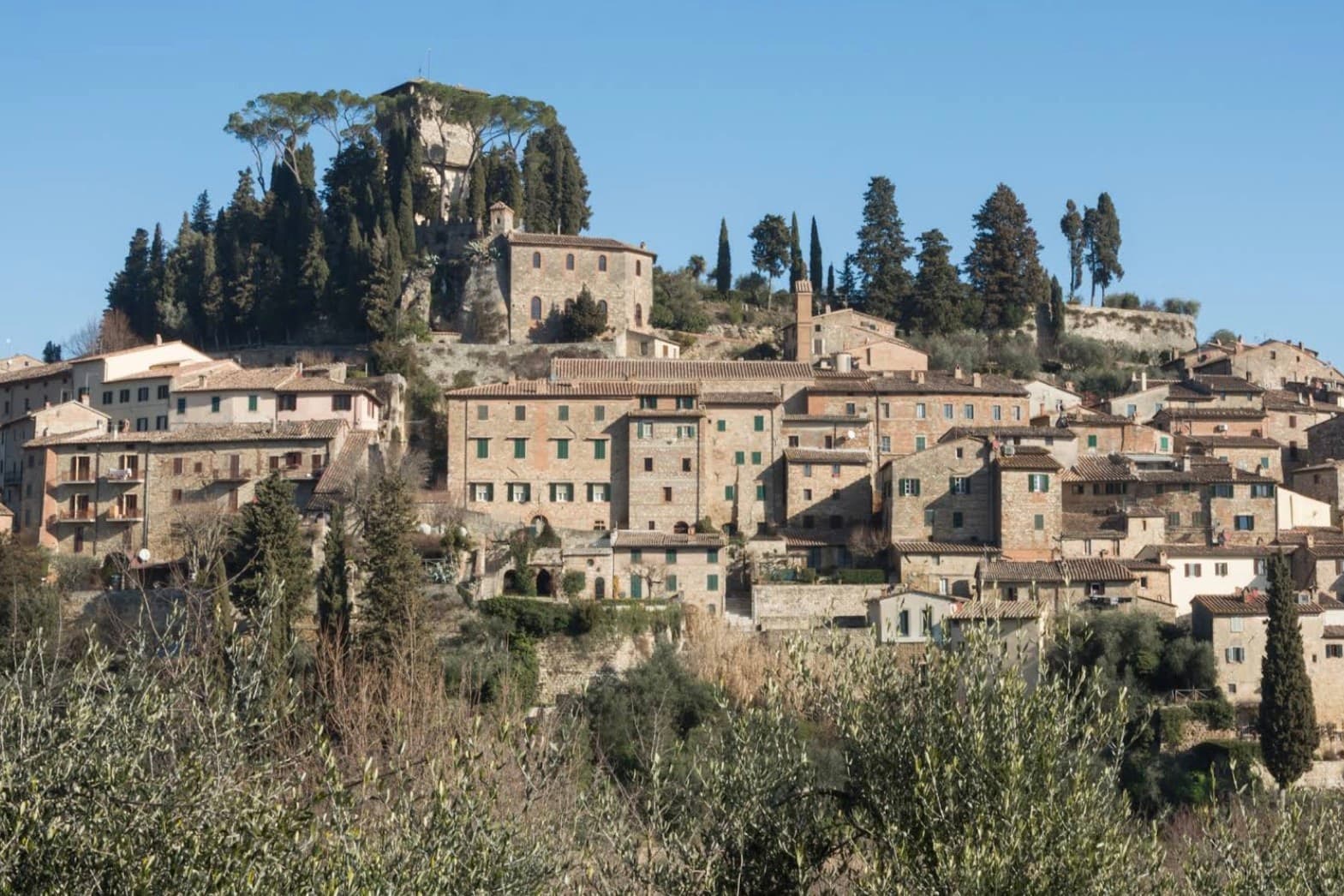 The best small hill towns with a serious restaurant in Toscana9 towns, Chiusdino among them.
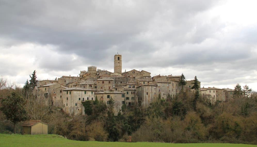 The best small olive oil towns with a serious restaurant in Toscana9 towns, Chiusdino among them.
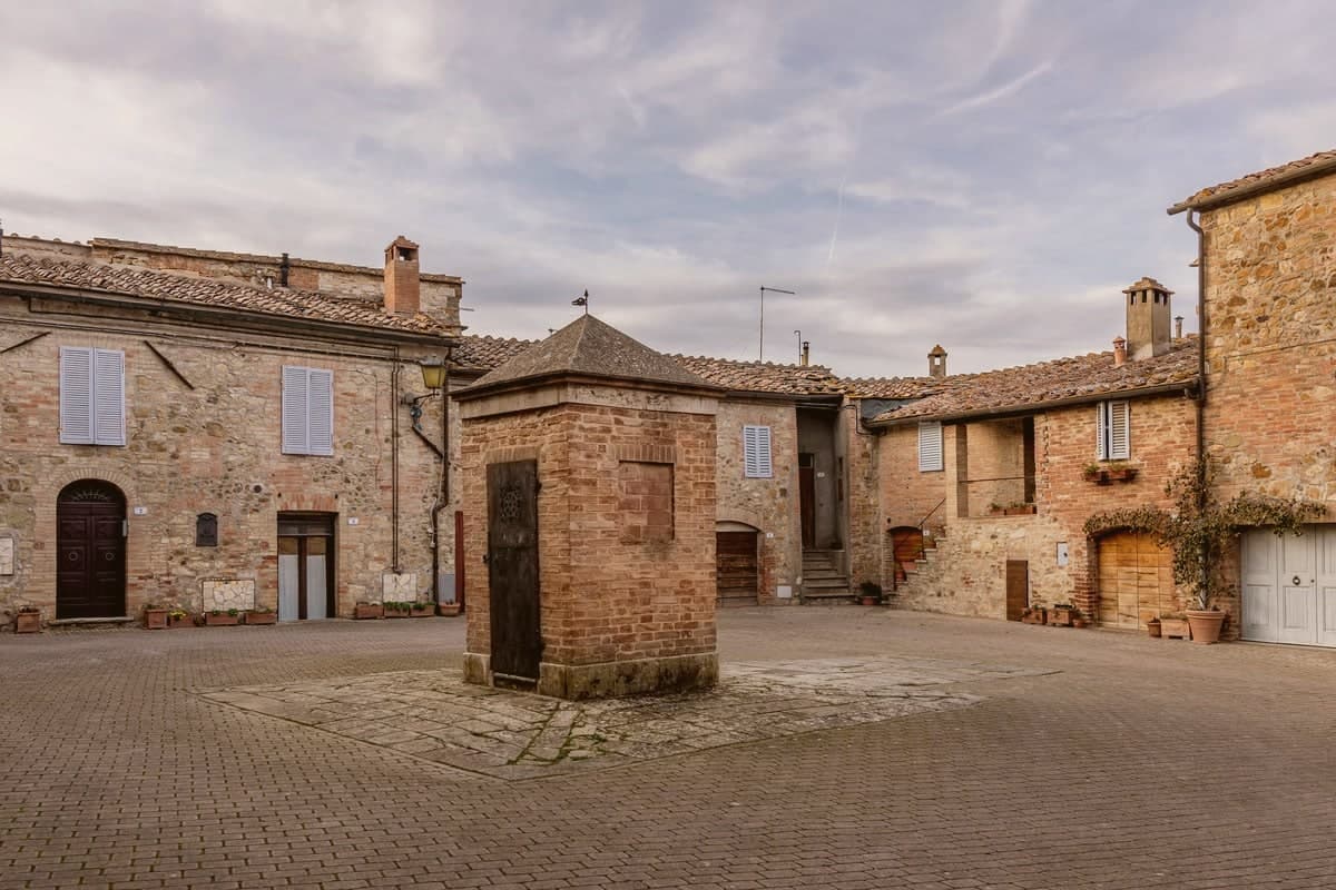 The 10 best small hill towns in the province of Siena10 towns, Chiusdino among them.
How to get there
From Florence / Pisa (PSA), about 2h 37m by car.
Bologna (BLQ) is about 2h 45m away.
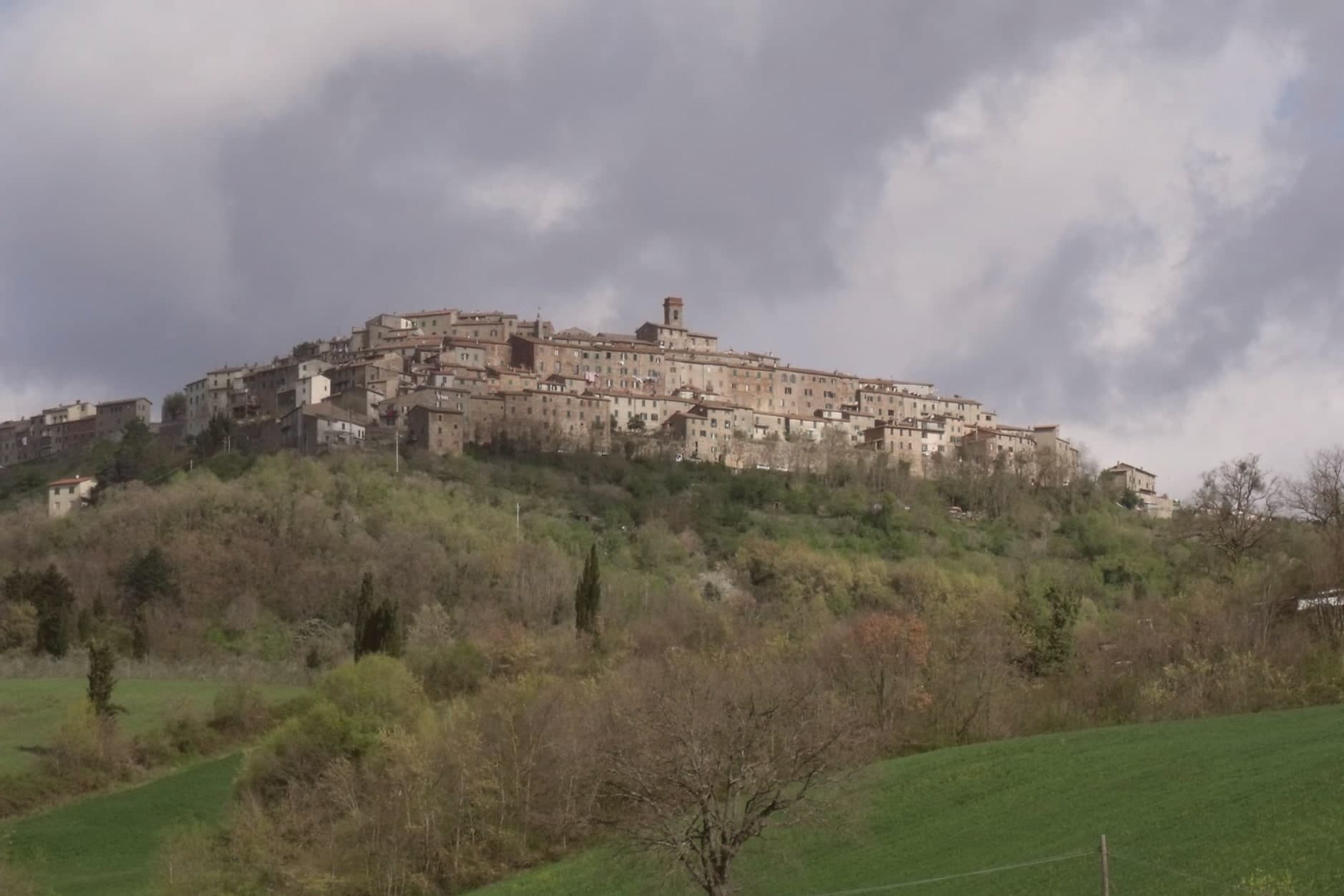
By car from the centre of Siena 1 hour, Florence 1h 52m or Perugia 2h 13m.
What to see
Abbazia di San Galgano
Built 1220s-1280s in French Gothic, the largest open-air church in Italy: a nave and side aisles standing without a roof, arches framing sky instead of vaulting.
Cappella di Montesiepi
A round chapel raised over the stone where Galgano's sword is still lodged, the blade visible through a case set into the rock.
Centro storico di Chiusdino
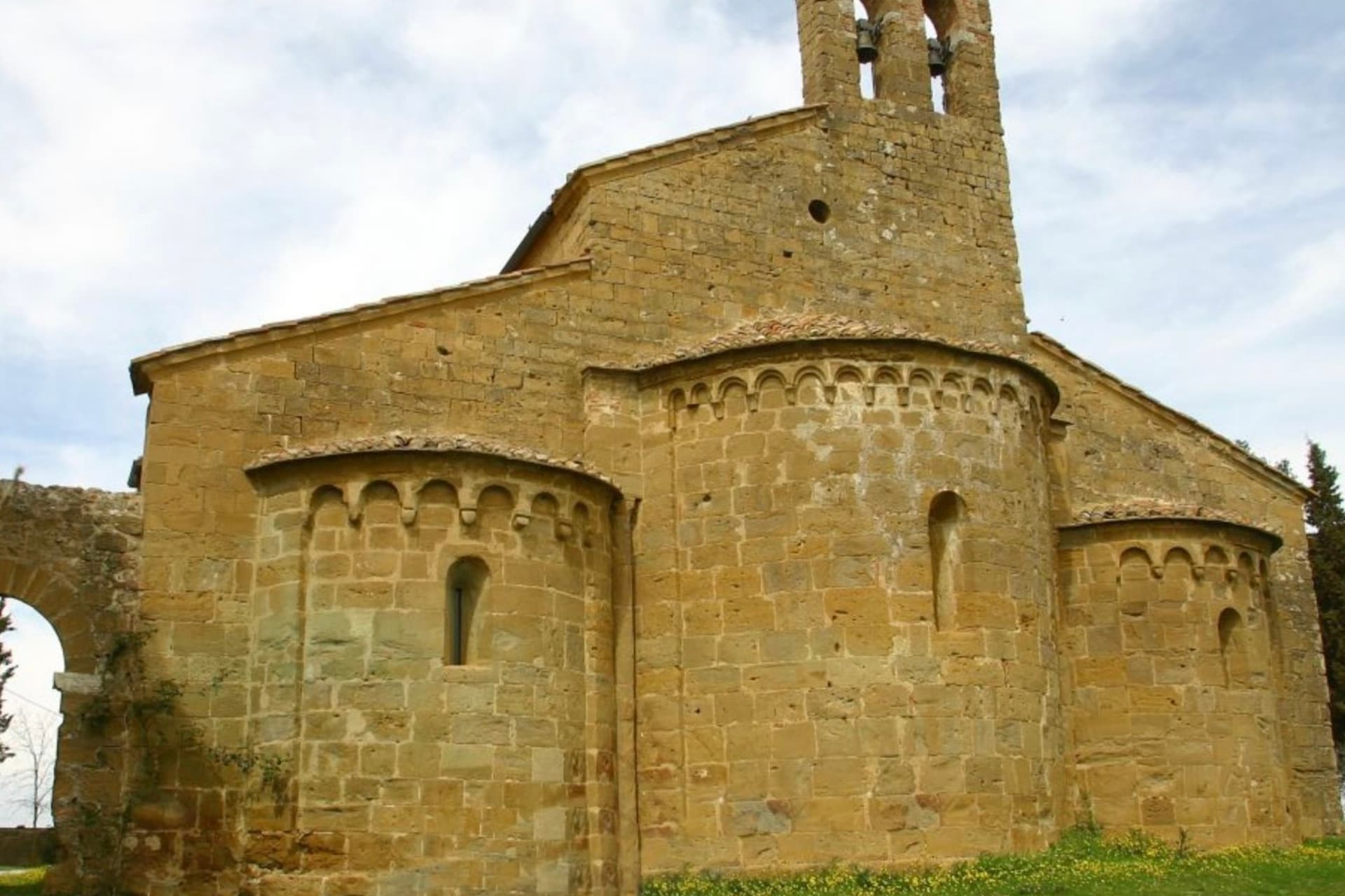
A hill village with the house where Galgano was born and the Pieve di San Michele Arcangelo standing at the highest point.
Pieve di San Michele Arcangelo
Romanesque parish church holding a 1336 reliquary bust of the saint and a fourteenth-century panel from Ambrogio Lorenzetti's circle.
Colline Metallifere
Hills mined for iron and silver from Etruscan times into the twentieth century, now recognized by UNESCO as a geo-mining park.
The slow-trip planner
Building a trip? Find where Chiusdino fits in a slow Italy circuit.
Answer five questions. We will shape a geographically coherent slow trip from the 1,000 Italian towns most travelers skip. Yours to save and share.
We recommend
Where to eat and stay
Not our picks, but places the guides put their name to: a Michelin star, a Gambero Rosso fork, a Slow Food snail, a Michelin Key for the hotels. Worth a table, a counter, or a night when you pass through.
SaporiumRistorante
Saporium holds one Michelin star.
Borgo Santo PietroHotel
Borgo Santo Pietro carries three Michelin Keys, a La Liste score of 98.5, plus a Leading Hotels of the World listing.
Living here
- Population 1,751
- Remotei
- Pharmacy: none mapped
- Nearest high school over ~30 minutes away
- Nearest airport Florence / Pisa, 2 h 37 min drive
- Regional capital Firenze, 1 h 52 min drive
Common questions
- What is Chiusdino known for?
- Chiusdino is a medieval village at 564 meters in the Val di Merse, above a roofless Cistercian abbey.
- Where is Chiusdino?
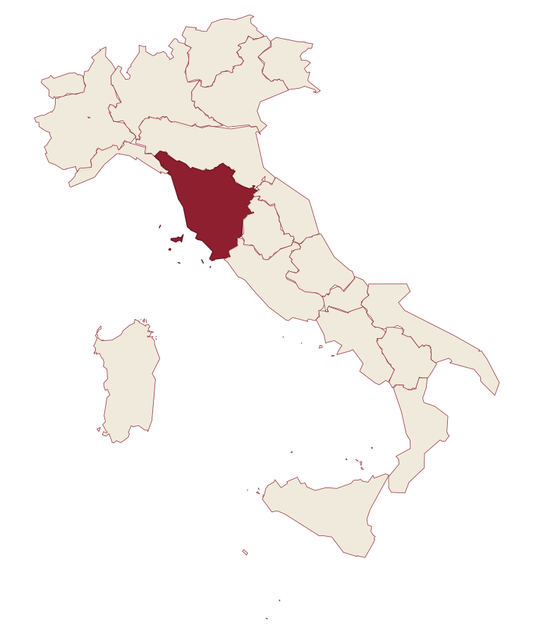
- Chiusdino is a comune in the province of Siena, in Tuscany.
- What is the nearest airport to Chiusdino?
- Florence / Pisa (PSA), about 2h 37m by car.
- How long is the drive from Siena to Chiusdino?
- About 1 hour by car.
- When is the best time to visit Chiusdino?
- Best in Apr–Oct. July is the warmest month, averaging 30 degrees, and May the wettest, with about 12 rain days.
- Which other towns are like Chiusdino?
- Castelnuovo di Val di Cecina, Castiglione d'Orcia and Casale Marittimo.
- How many people live in Chiusdino?
- 1,751 at the 2023 count.
Tags & datadesignations · numbers · sources
Recognised as
The numbers
- Elevation: 564 m
- Population: 1,751
- Surface area: 141.62 km²
These figures were compiled from public directories: ISTAT, OpenStreetMap and Wikidata, and from the official listings of the guides named on this page. Town details change; verify with official sources before you travel.
Similar
Towns like Chiusdino
Castelnuovo di Val di Cecina
Province: Pisa
both inland, away from the coast · both under 3,000 people
Castiglione d'Orcia
Province: Siena
both inland, away from the coast · both under 3,000 people
Casale Marittimo
Province: Pisa
both inland, away from the coast · both under 3,000 people
Pienza
Province: Siena
both inland, away from the coast · both under 3,000 people
Pietralunga
Province: Perugia
both inland, away from the coast · both under 3,000 people
Tenno
Province: Trento
both inland, away from the coast · both under 3,000 people
🫒 Città dell'Olio
More Città dell'Olio towns in Tuscany
Capalbio
Province: Grosseto
A walled hilltop borgo at 217 meters in the southern Maremma, donated to the Abbey of Tre Fontane by Charlemagne.
Castagneto Carducci
Province: Livorno
A hilltop borgo at 194 meters above the Costa degli Etruschi, renamed for the poet Carducci in 1907 and the home of Bolgheri and Sassicaia.
Castellina in Chianti
Province: Siena
A Chianti hill town at 578 meters on the watershed between the Arno and the Ombrone, with an Etruscan tumulus, a Brunelleschi-reinforced wall and a covered medieval walkway around its edge.
Castelnuovo Berardenga
Province: Siena
A commune of 351 meters, the last castle Siena built against Florence, in 1366.
Castiglion Fiorentino
Province: Arezzo
A walled hill town at 342 meters between Arezzo and Cortona, where Etruscan walls support the medieval Cassero.